Elevation of Canterberry Drive, Canterberry Dr, Manning, SC, USA
Location: United States > South Carolina > Clarendon County > Manning >
Longitude: -80.200190
Latitude: 33.6705932
Elevation: 37m / 121feet
Barometric Pressure: 101KPa
Elevation Map:
Satellite Map:
Related Photos:
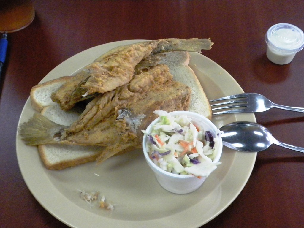
croaker sandwich
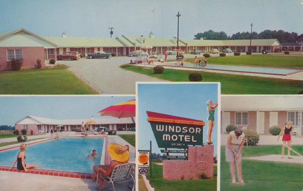
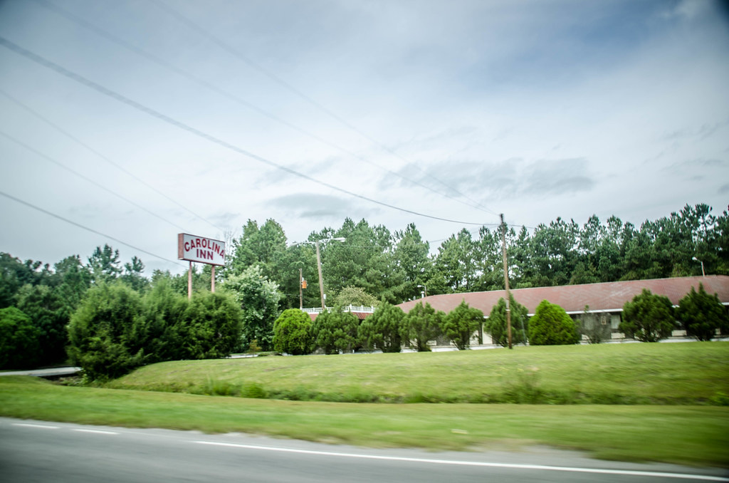
Windsor Motel and Dining Room - Summerton, South Carolina

Hibiscus syriacus
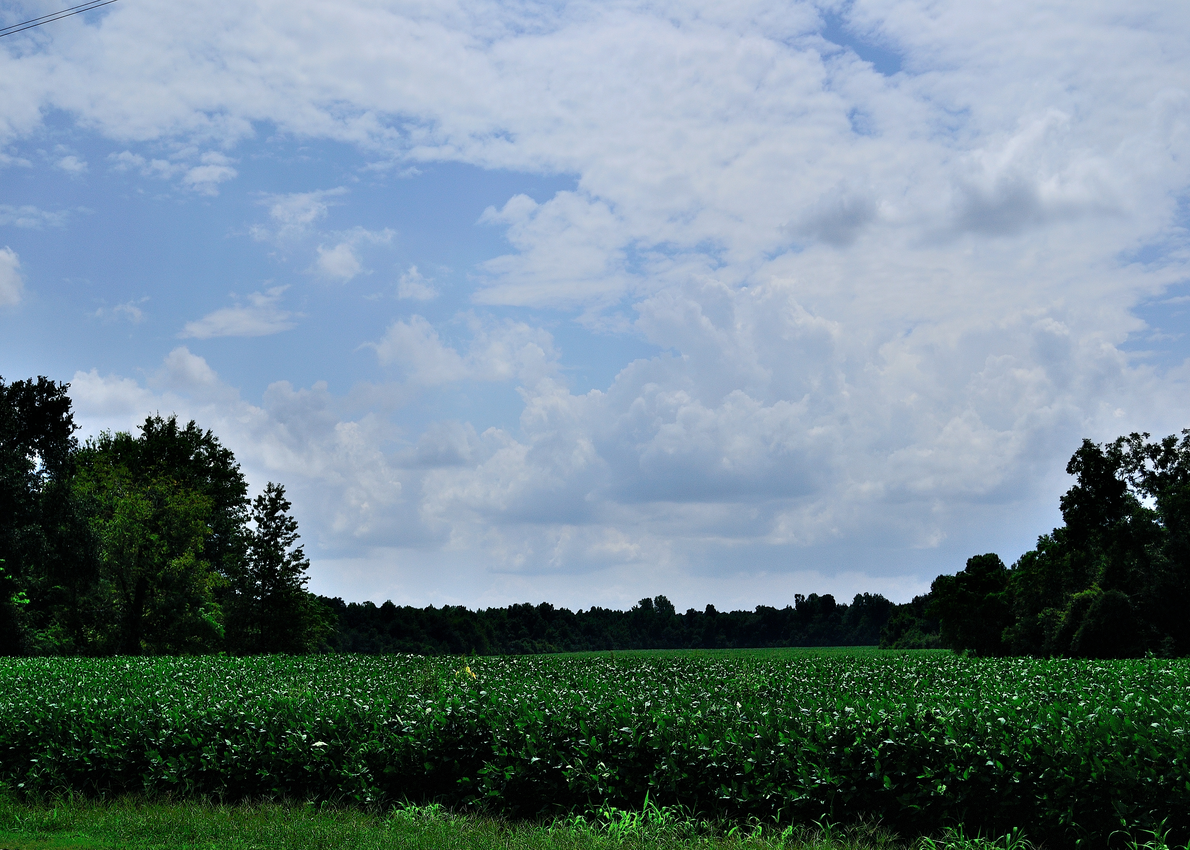
SC Cotton Field

20120608-D800-1162
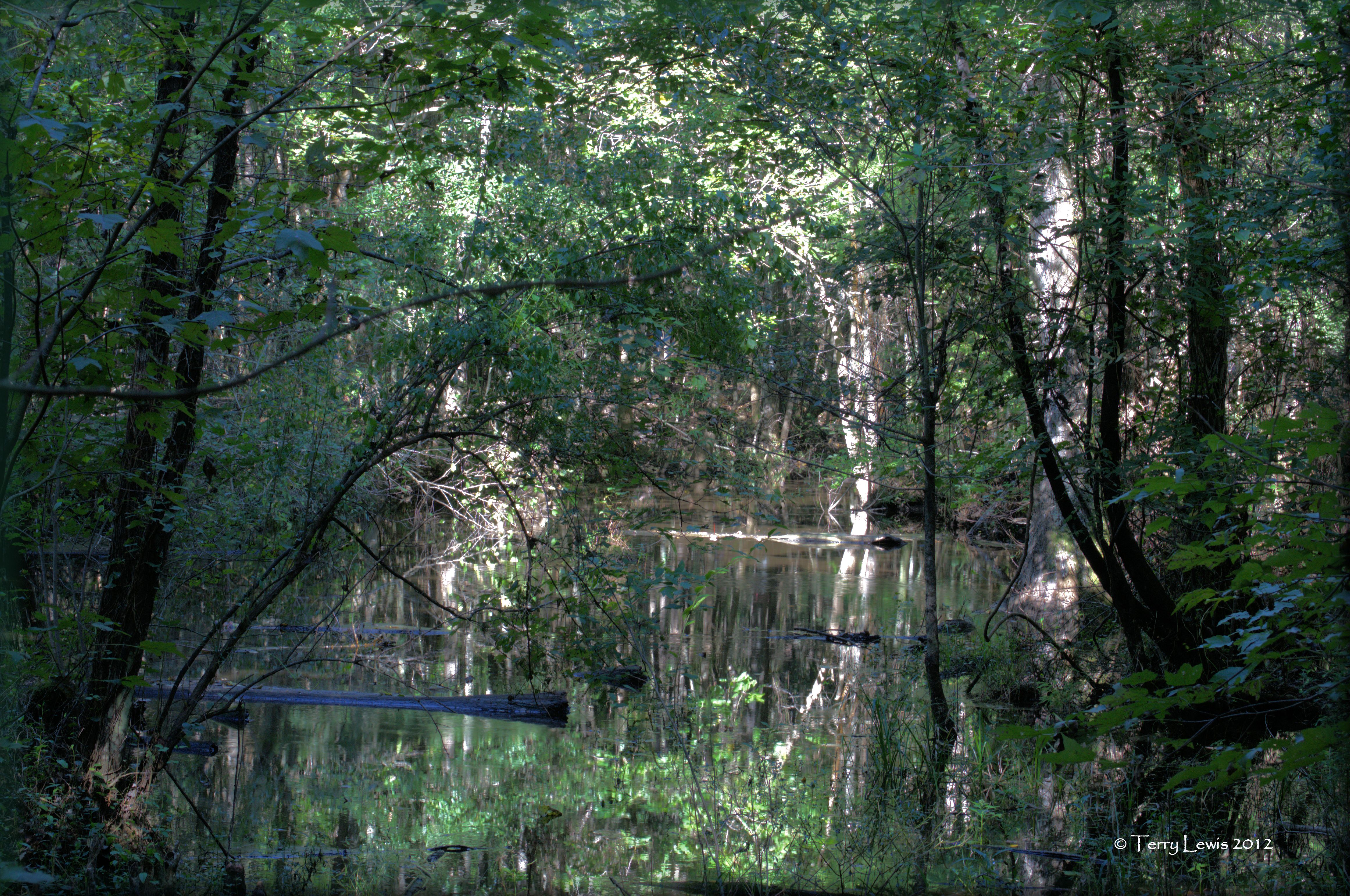
Swamp In Manning
2007-03-04_IMG_5872
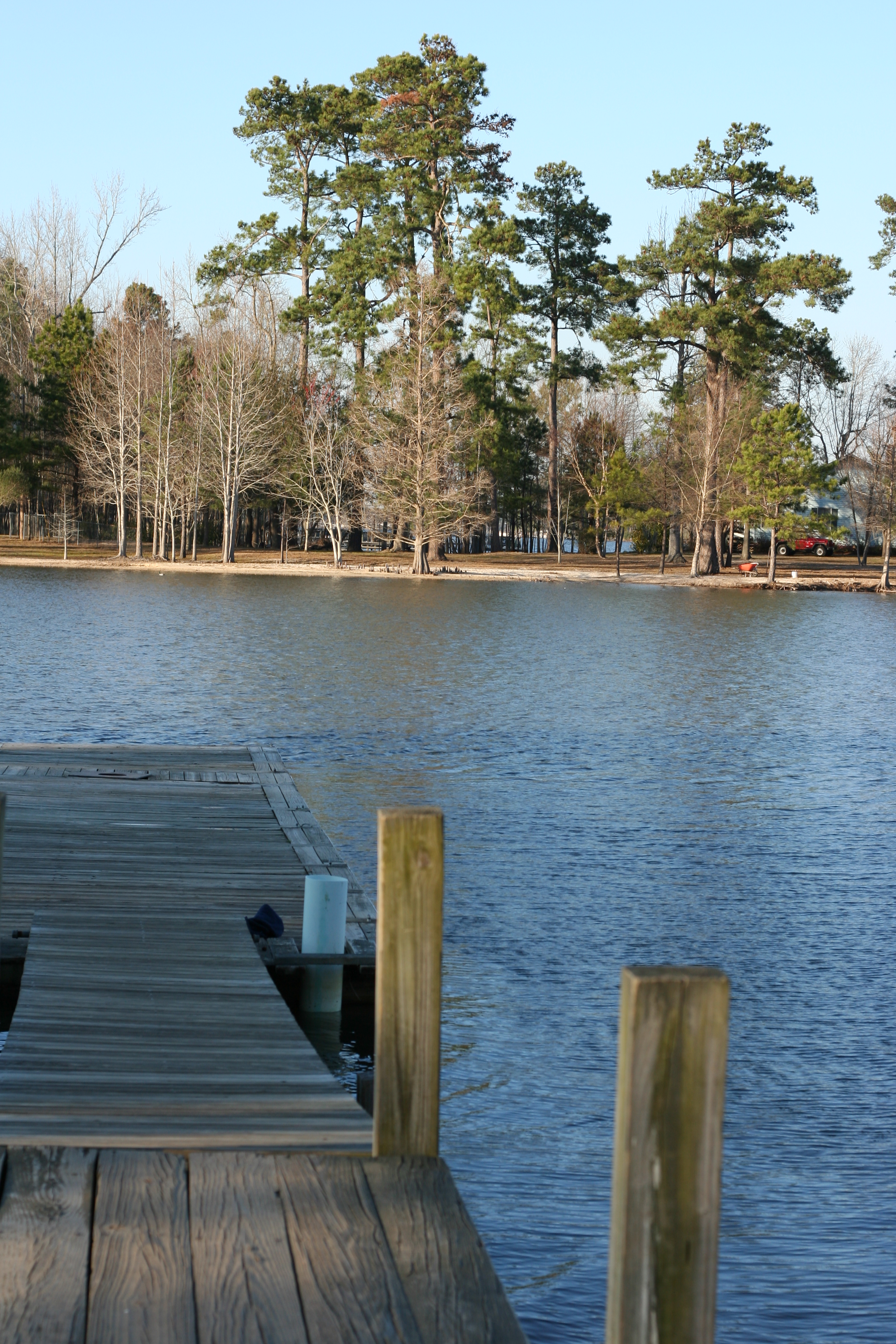
Meet Me On The Dock

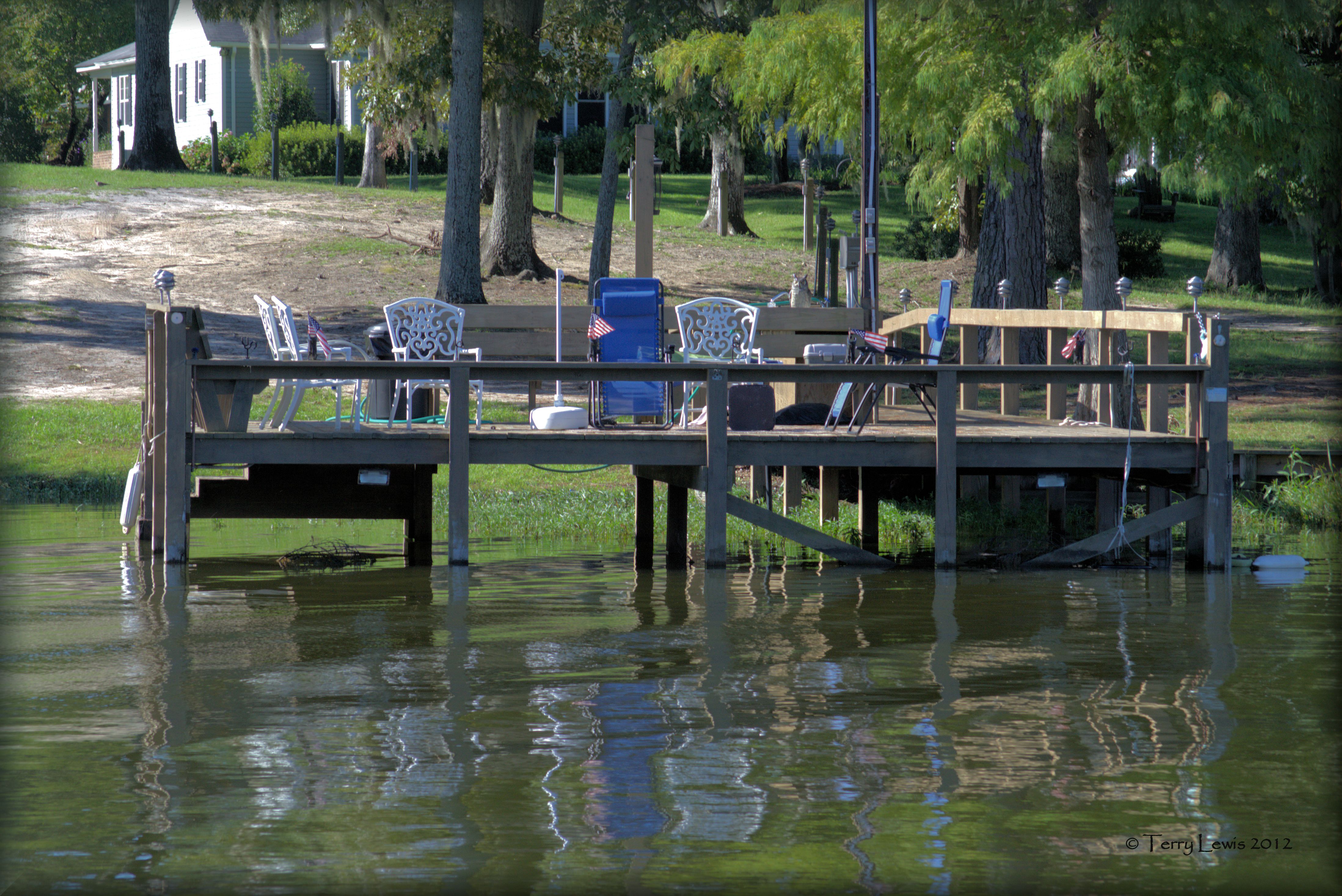
early morning on the water
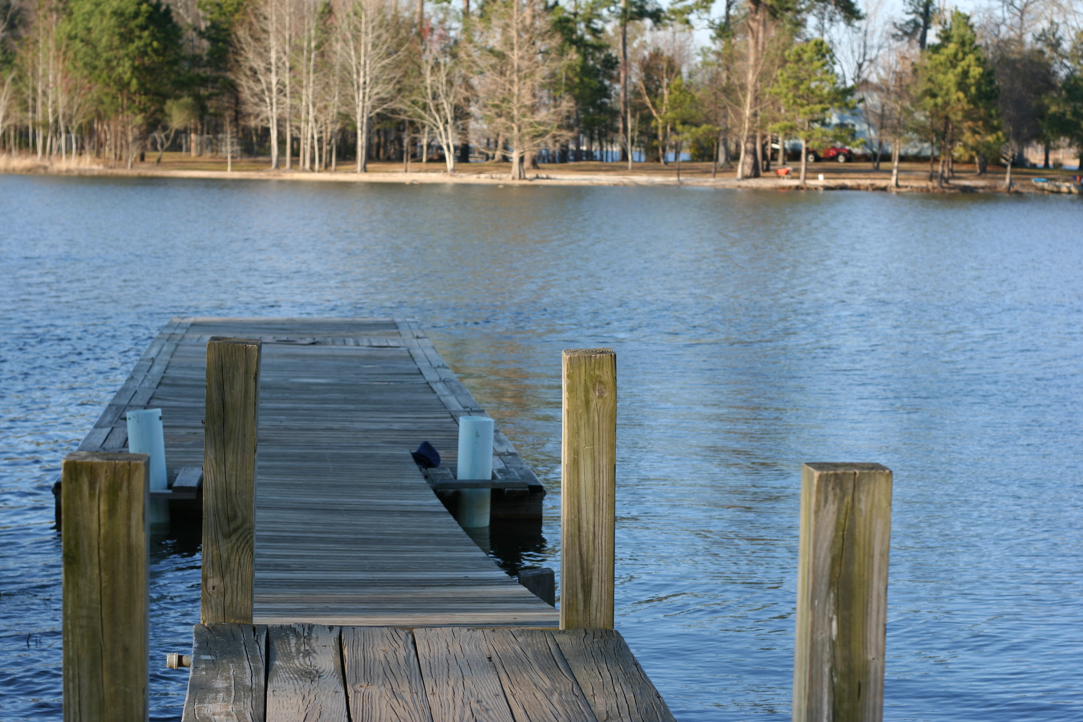
2007-03-04_IMG_5871

DSCF2459.jpg
Tobaco Trail-124
Topographic Map of Canterberry Drive, Canterberry Dr, Manning, SC, USA
Find elevation by address:

Places near Canterberry Drive, Canterberry Dr, Manning, SC, USA:
Clarendon County
Wisteria Way
Manning
8 N Brooks St, Manning, SC, USA
Harvin Clarendon County Library
Plummer Cir, Manning, SC, USA
112 Ridge Lake Dr
104 Plantation Dr
1036 Weiss Dr
2147 Olin Rd
1094 Whispering Wind Lane
State Rd S-14-, Manning, SC, USA
Summerton
Wash Davis Rd, Summerton, SC, USA
3361 Furse Rd
US-15, Summerton, SC, USA
Pinewood
161 Loch Dhu Ln
131 Madrid Ct
Haskwar Road
Recent Searches:
- Elevation of Corso Fratelli Cairoli, 35, Macerata MC, Italy
- Elevation of Tallevast Rd, Sarasota, FL, USA
- Elevation of 4th St E, Sonoma, CA, USA
- Elevation of Black Hollow Rd, Pennsdale, PA, USA
- Elevation of Oakland Ave, Williamsport, PA, USA
- Elevation of Pedrógão Grande, Portugal
- Elevation of Klee Dr, Martinsburg, WV, USA
- Elevation of Via Roma, Pieranica CR, Italy
- Elevation of Tavkvetili Mountain, Georgia
- Elevation of Hartfords Bluff Cir, Mt Pleasant, SC, USA