Elevation of Cansahcab Municipality, Yucatan, Mexico
Location: Mexico > Yucatan >
Longitude: -89.101214
Latitude: 21.1542312
Elevation: 11m / 36feet
Barometric Pressure: 101KPa
Elevation Map:
Satellite Map:
Related Photos:
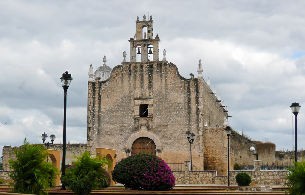
IMG_2029
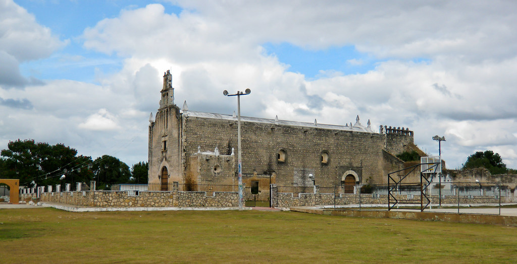
IMG_2028
Pure color!!

Pure color!!

Pure color!!

Pure color!!

Pure color!!
Hacienda agraria San Francisco Tzacalha, Dzidzantun, Yucatan, México
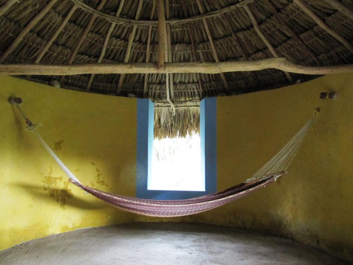
Hacienda agraria San Francisco Tzacalha, Dzidzantun, Yucatan, México
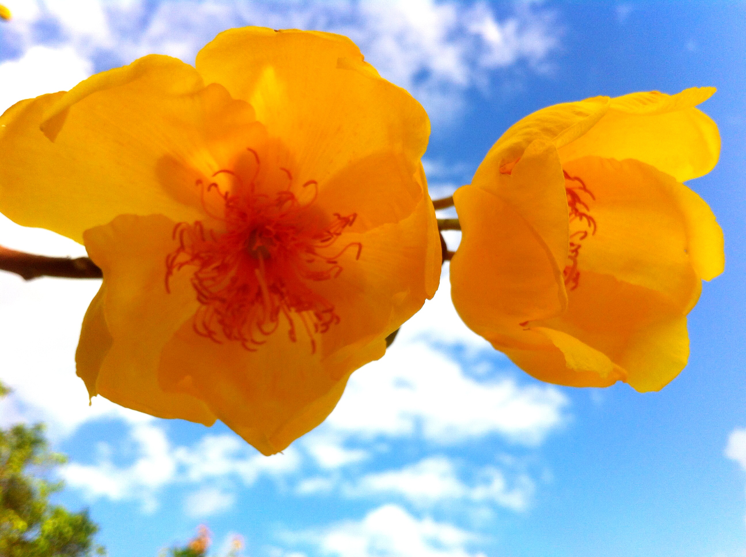
Clouds&flowers
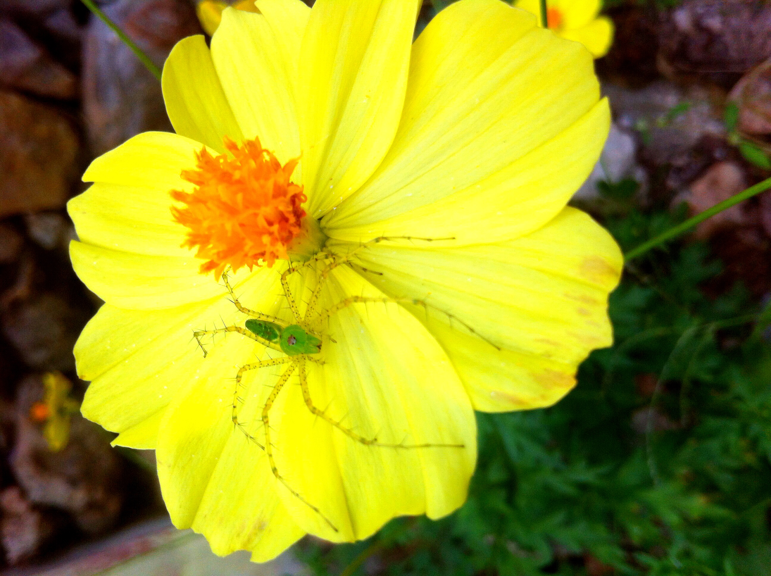
Spidey home!!!
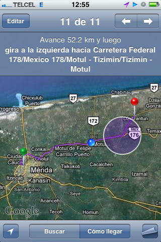
Merida-Dzidzantun
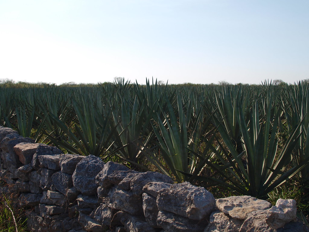
Agave field
Topographic Map of Cansahcab Municipality, Yucatan, Mexico
Find elevation by address:

Places in Cansahcab Municipality, Yucatan, Mexico:
Places near Cansahcab Municipality, Yucatan, Mexico:
Temax - Cansahcab 12, Yucatán, Mexico
Yobaín
Yobaín
100d
Yobaín
Dzidzantún
Calle 21 98, Sinanché, Sinanché, Yuc., Mexico
Telchac
Calle 21 88
Telchac Pueblo
Calle 20, Telchac, Yuc., Mexico
Telchac
Motul
Calle 21 99, Dzemul, Yuc., Mexico
Calle 14, Dzoncauich, Dzoncauich, Yuc., Mexico
YUC 27, Santa Clara, Yuc., Mexico
Santa Clara
Baca
Baca
160a
Recent Searches:
- Elevation of 15th Ave SE, St. Petersburg, FL, USA
- Elevation of Beall Road, Beall Rd, Florida, USA
- Elevation of Leguwa, Nepal
- Elevation of County Rd, Enterprise, AL, USA
- Elevation of Kolchuginsky District, Vladimir Oblast, Russia
- Elevation of Shustino, Vladimir Oblast, Russia
- Elevation of Lampiasi St, Sarasota, FL, USA
- Elevation of Elwyn Dr, Roanoke Rapids, NC, USA
- Elevation of Congressional Dr, Stevensville, MD, USA
- Elevation of Bellview Rd, McLean, VA, USA