Elevation of Cannon Trail, Franklin, NC, USA
Location: United States > North Carolina > Macon County > Cartoogechaye >
Longitude: -83.459675
Latitude: 35.144881
Elevation: 748m / 2454feet
Barometric Pressure: 93KPa
Elevation Map:
Satellite Map:
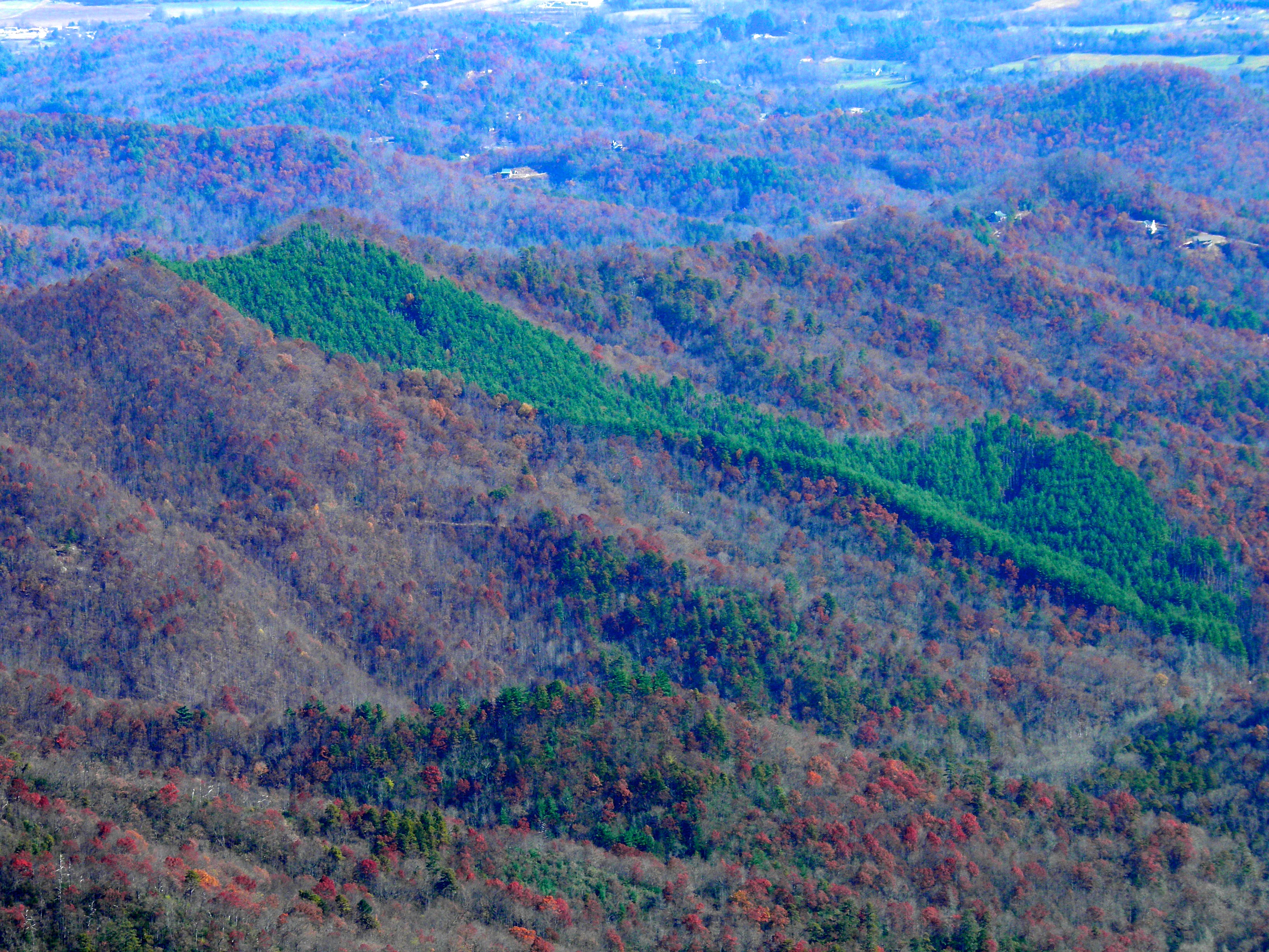
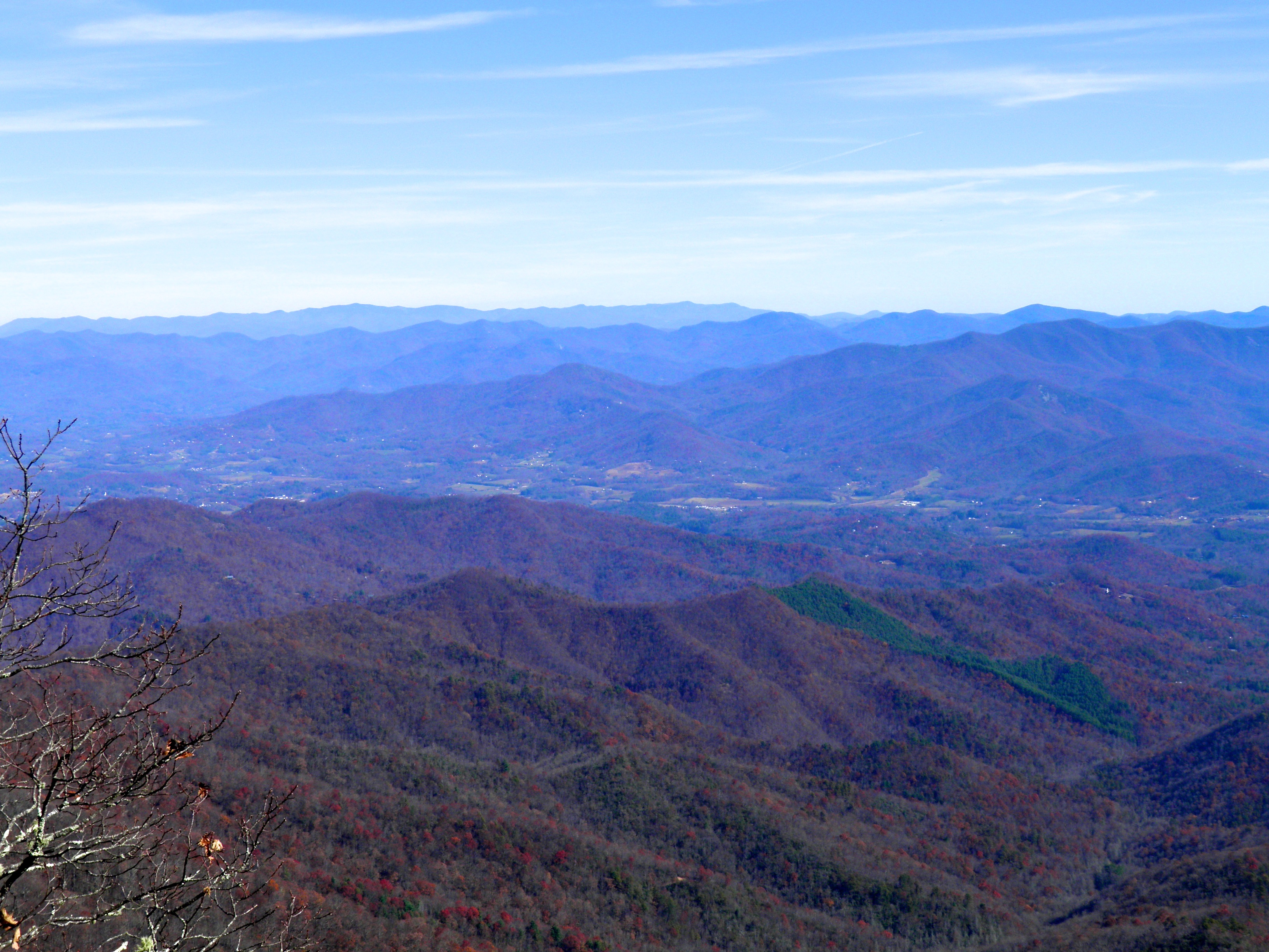
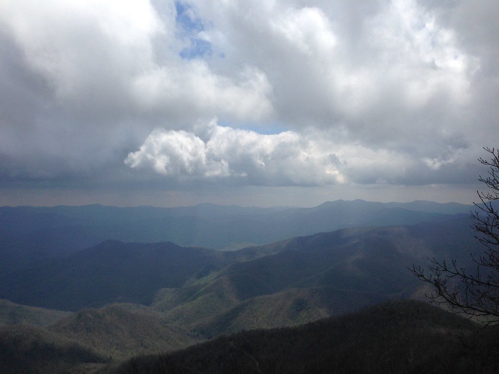
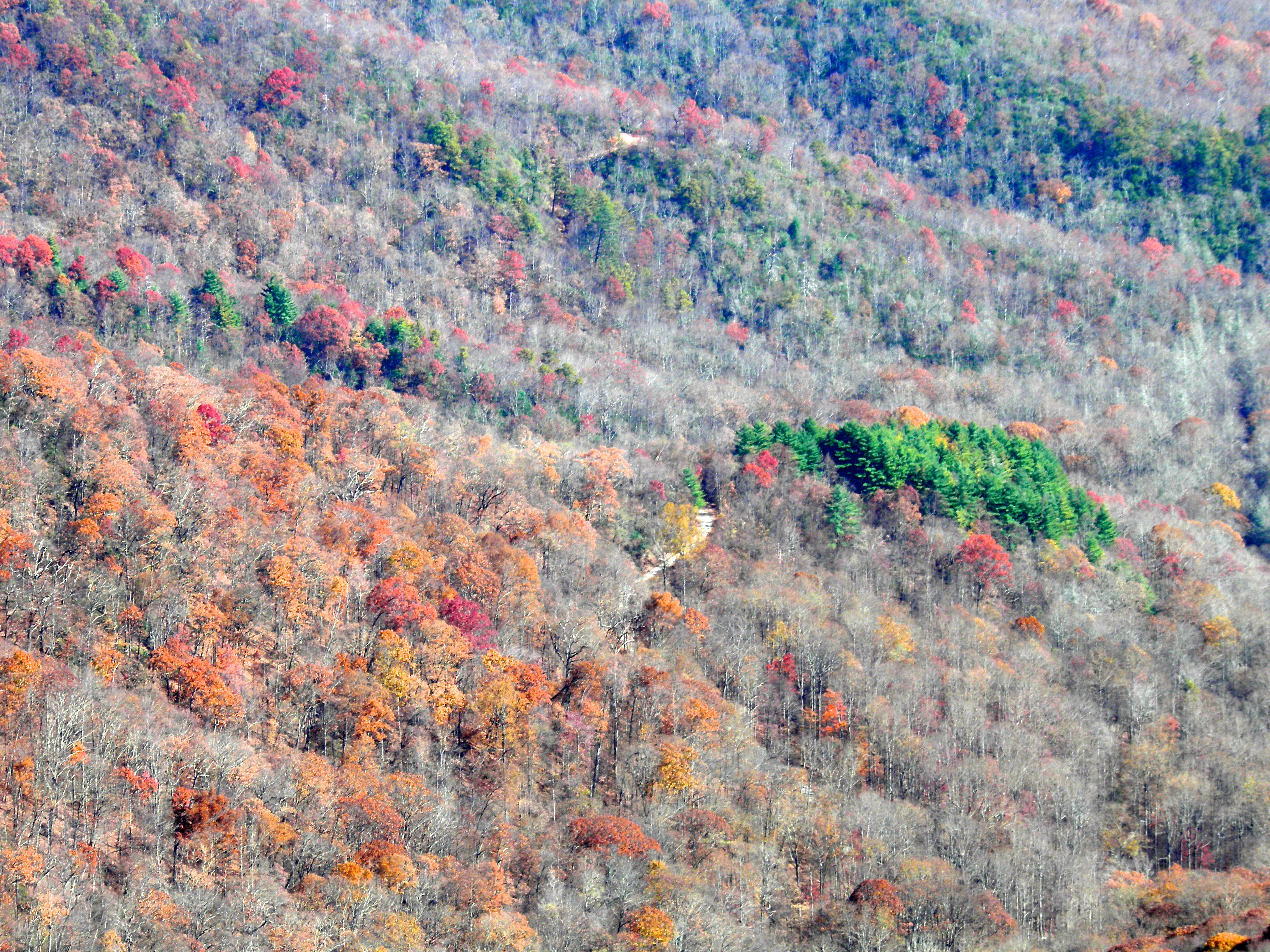
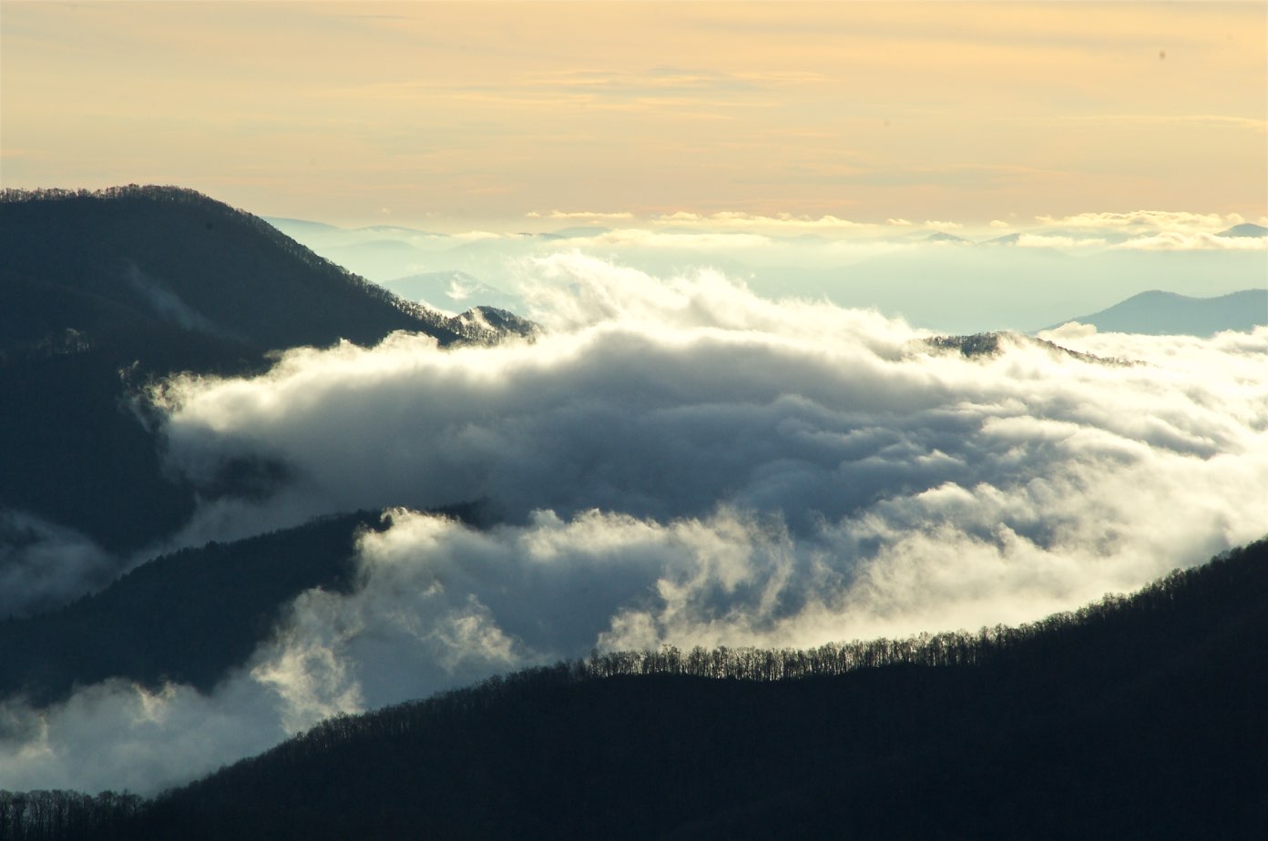
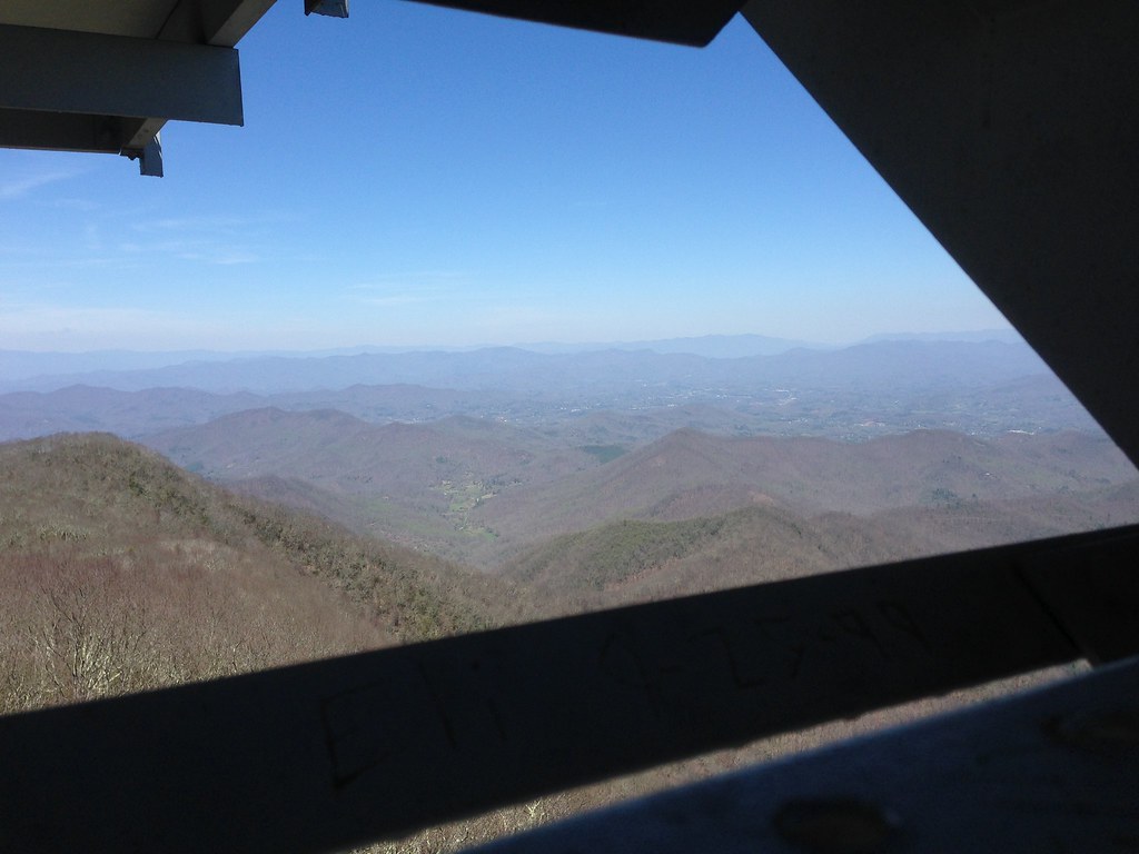
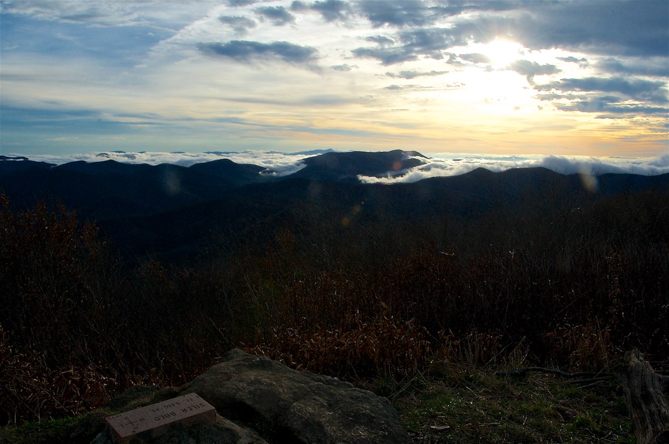
Related Photos:

Albert Mountain Fire Tower
Standing Indian Mountain
Standing Indian Mountain

Smoky Mountains on Fire (III)
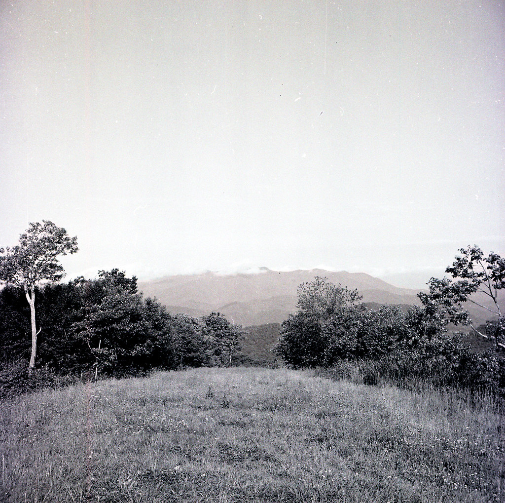
View from Silar Bald

Fringed Phacelia
82-140_View_from_Wayah_Bald_Nantahala_National_Forest_NC
Standing Indian22
Standing Indian24
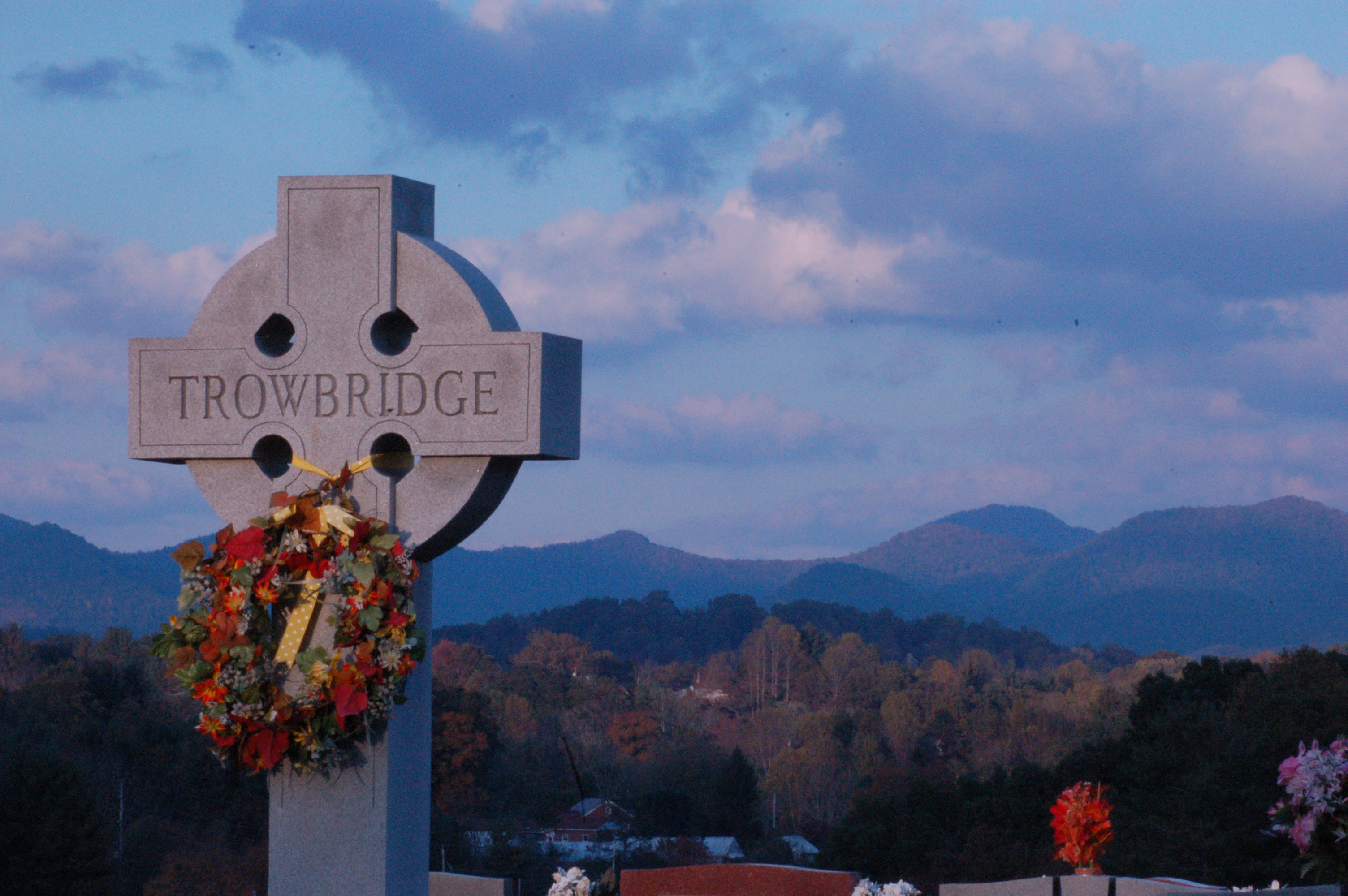
Cemetary View

W4C/WM-024 - Siler Bald View
View from Wayah Bald Tower
Standing Indian23

Wayah Bald Fire Tower - Franklin, North Carolina (HDR)

Fire Pink
W4C/WM-024 - Siler Bald View
View from Albert Mountain
W4C/WM-024 - Siler Bald View
img013_edited-1

K20D8831-3
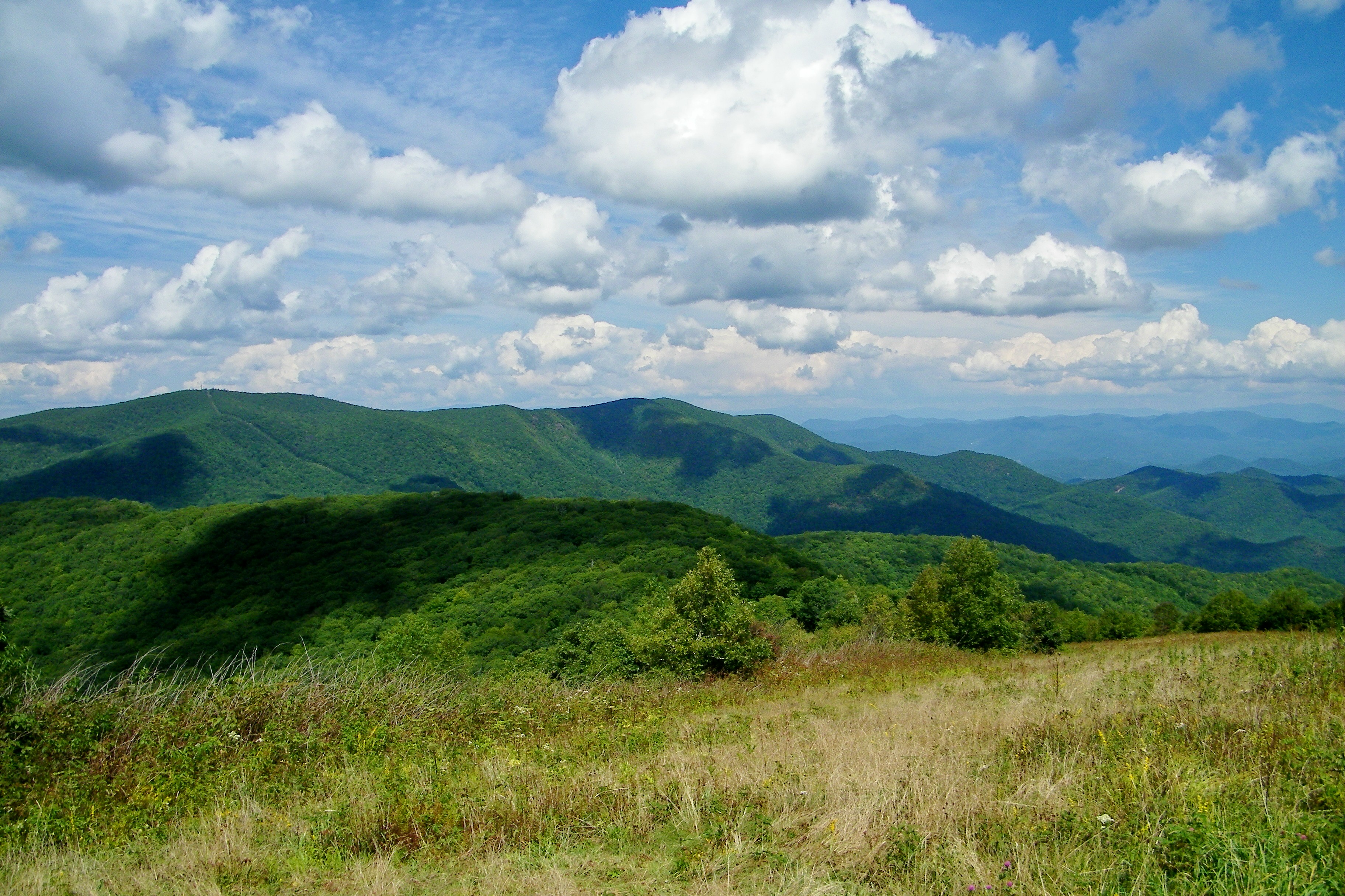
Silers Bald

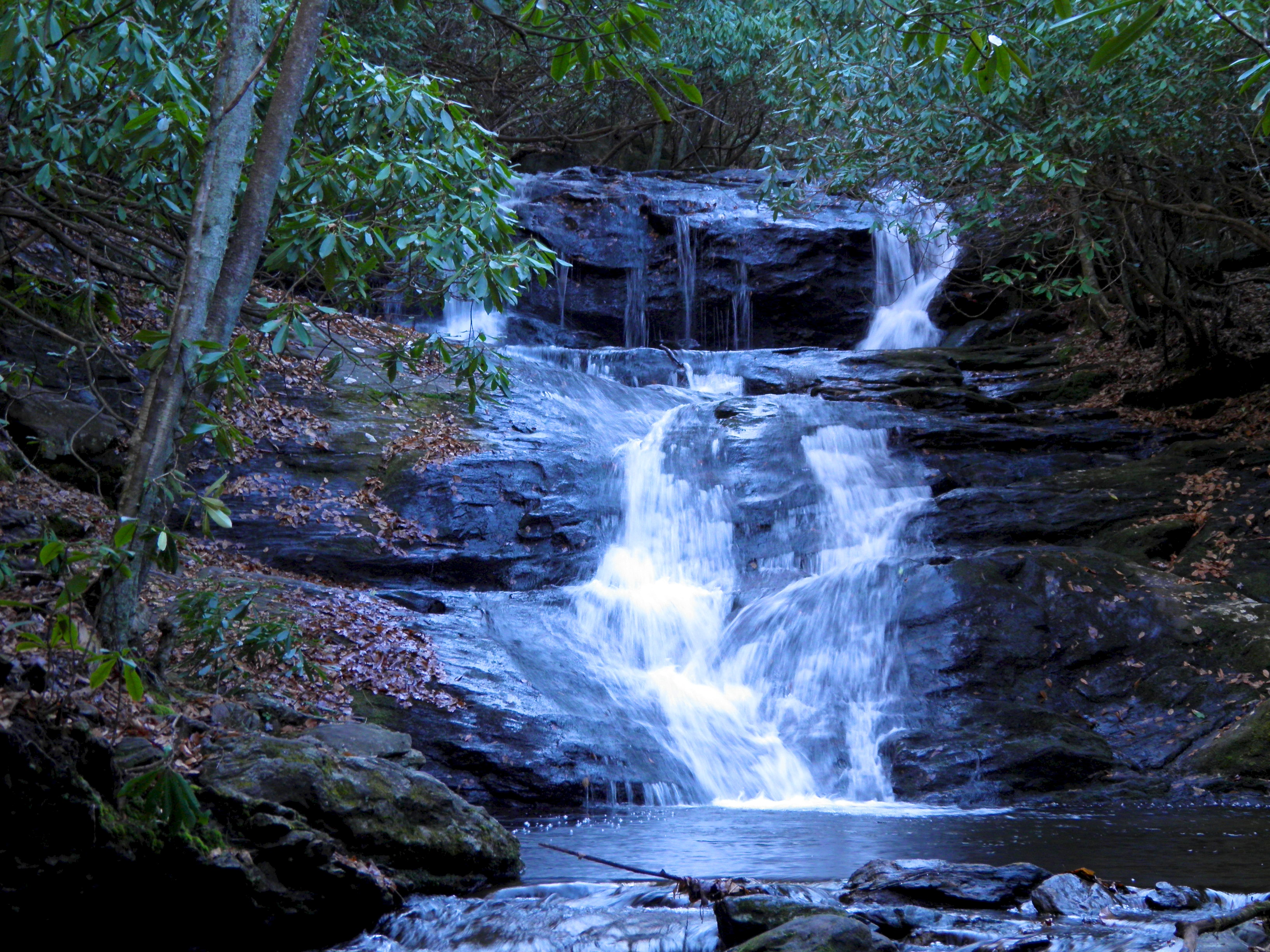
Big Laurel Falls #franklin #standingindian #appalachia #blueridgecountry #welovenc #we_see_wnc #wilderness_culture #biglaurelfalls #diamondbrand_outdoors #cmc100challenge #stream #falls #explore #westernnorthcarolina #landofwaterfalls
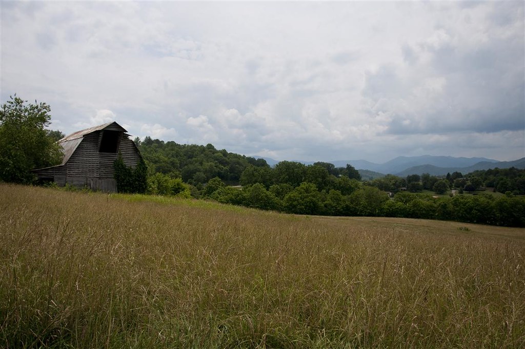
Fields of Gold | Franklin, NC

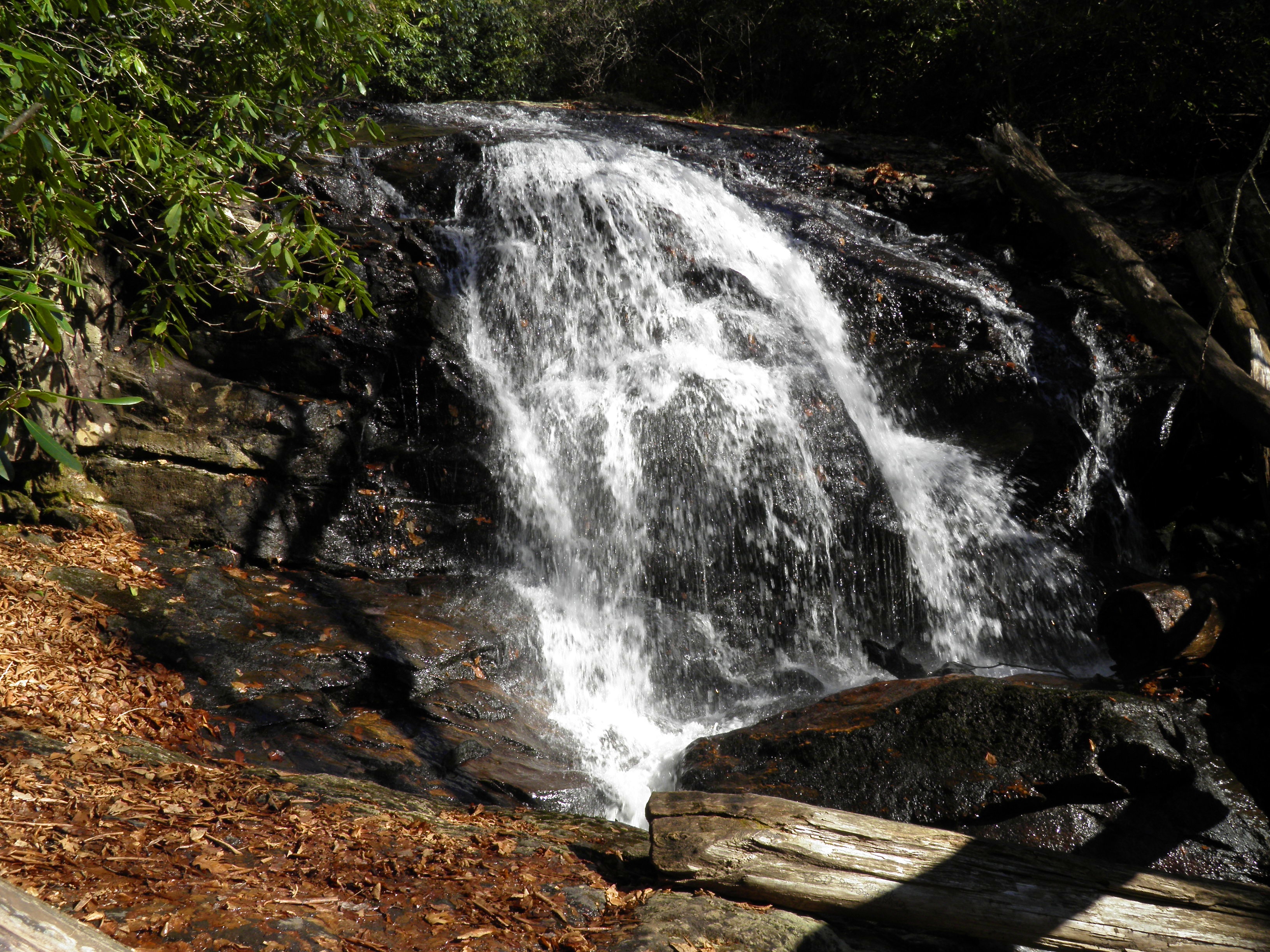
Rufus Morgan Falls
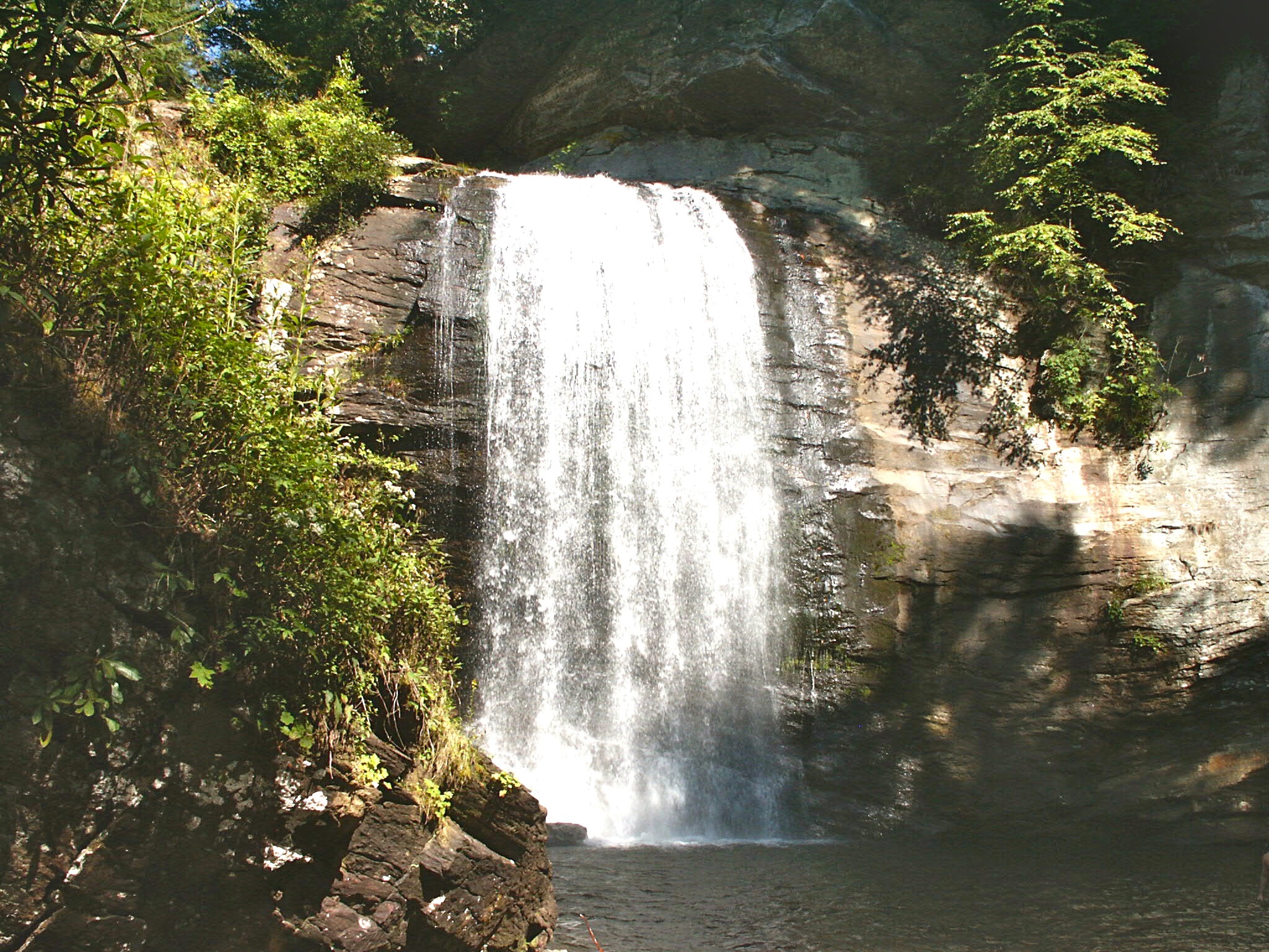
Looking Glass Falls, Pisgah National Forest, NC
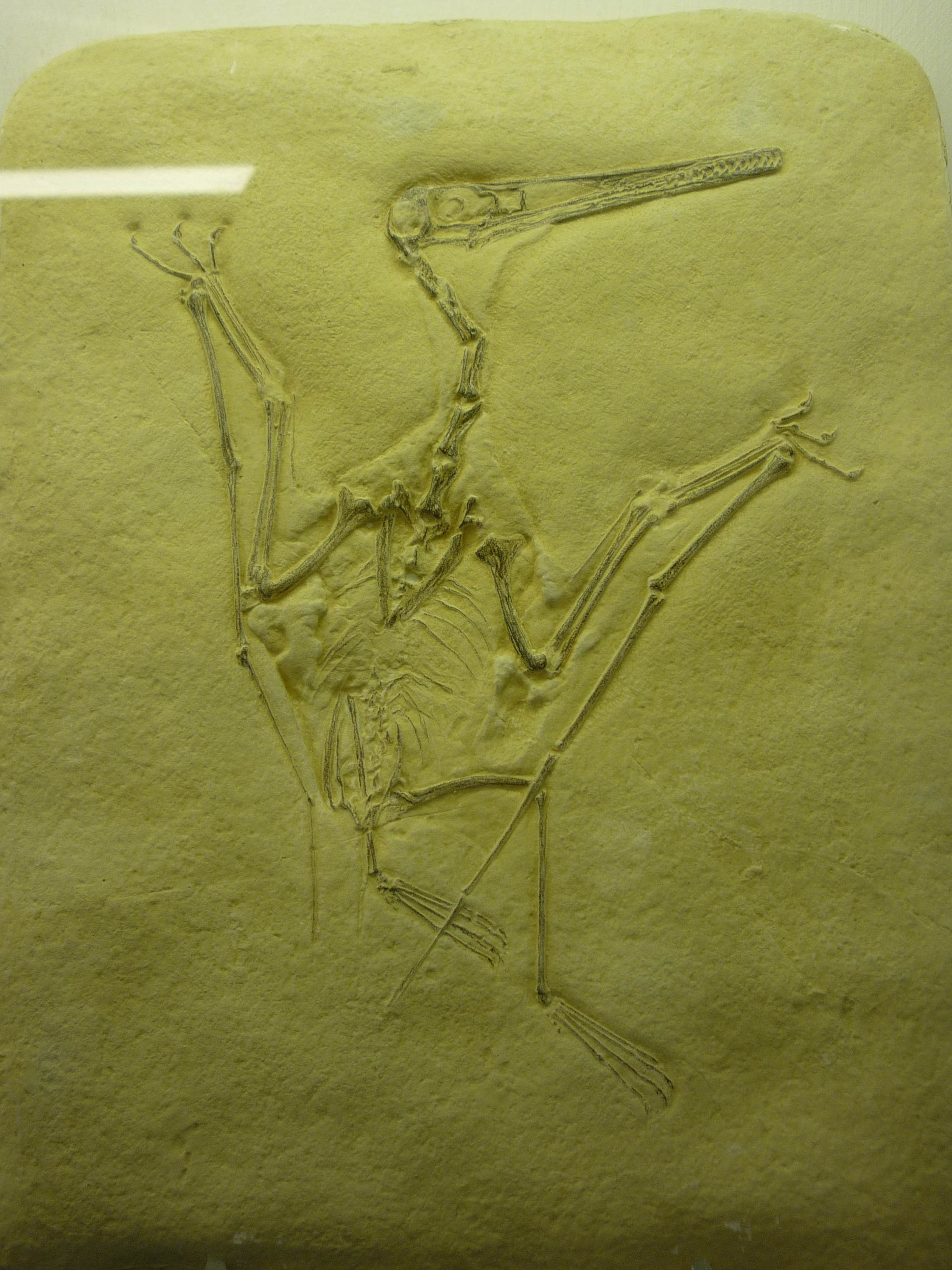
bird-like fossil
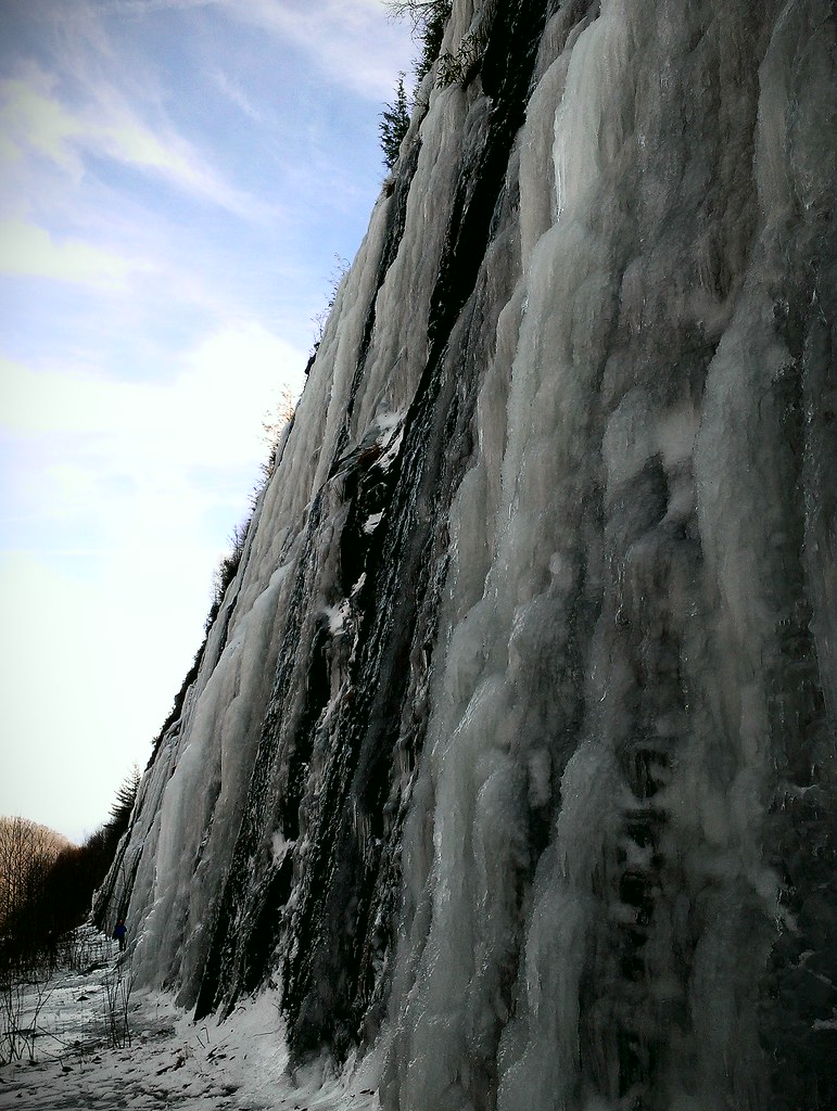
Interstate ice wall
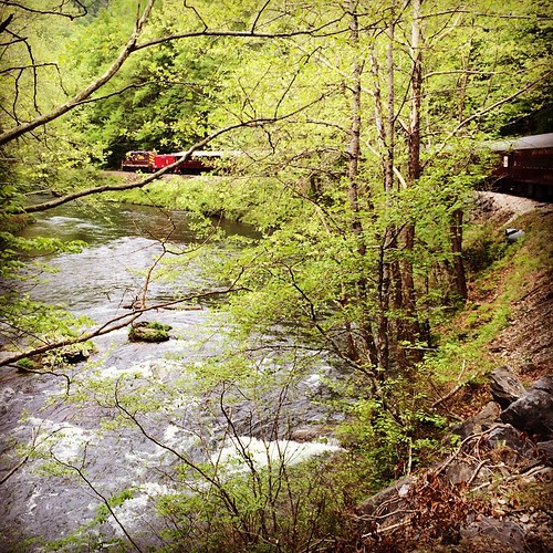
Train tour of the Great Smoky Mts
Standing Indian20

Low cloudbank descending over the Pinnacle from Albert Mountain summit, Nantahala National Forest

Standing Indian19

Rufus Morgan Trailhead-8426
Standing Indian9
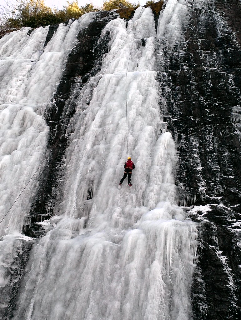
Interstate ice climbers
Standing Indian12
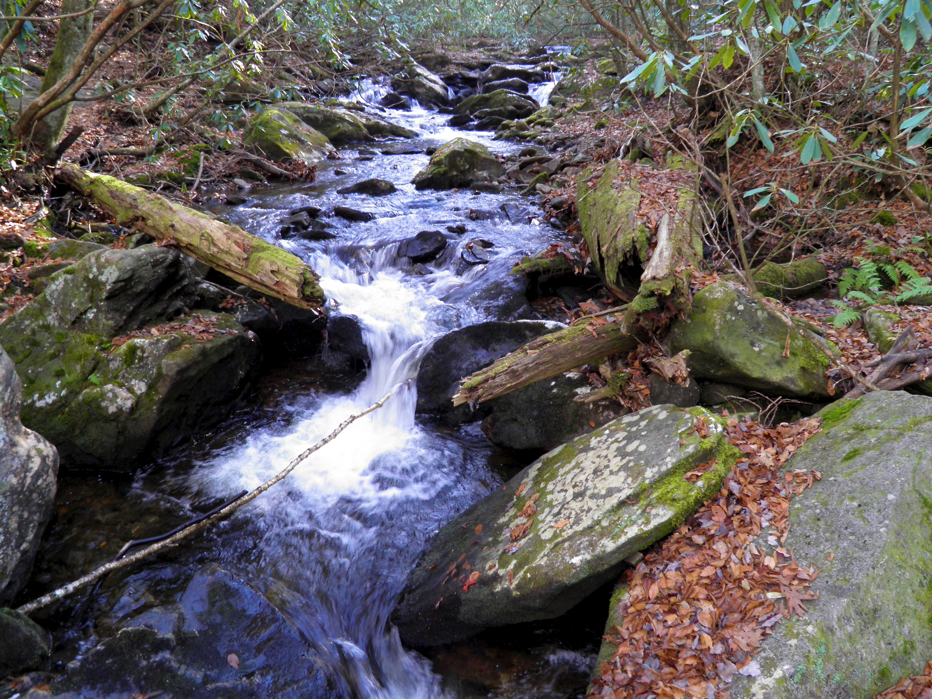
Mooney Creek

smoky vacation RAW 6-9-2013 298
Topographic Map of Cannon Trail, Franklin, NC, USA
Find elevation by address:

Places near Cannon Trail, Franklin, NC, USA:
400 Cannon Trail
373 Cannon Trail
304 Indian Trail
324 Wild Deer Trail
4724 Murphy Rd
98 Roylston Rd
98 Roylston Rd
98 Roylston Rd
98 Roylston Rd
277 Carl Slagle Rd
145 Old Printers Way
401 Dobson Mountain Rd
929 Blaine Mountain Estate Rd
1356 Blaine Mountain Estate Rd
888 W Old Murphy Rd
1470 W Old Murphy Rd
984 W Old Murphy Rd
139 Meadowview Rd
532 Meadowview Rd
105 Meadowview Rd
Recent Searches:
- Elevation of 1 Zion Park Blvd, Springdale, UT, USA
- Elevation of Ganderbal
- Elevation map of Konkan Division, Maharashtra, India
- Elevation of Netaji Nagar, Hallow Pul, Kurla, Mumbai, Maharashtra, India
- Elevation of Uralsk, Kazakhstan
- Elevation of 45- Kahana Dr, Honokaa, HI, USA
- Elevation of New Mexico 30, NM-30, Española, NM, USA
- Elevation of Santmyer Way, Charles Town, WV, USA
- Elevation of Riserva Naturale Lago di Montepulciano, Italy
- Elevation of Marjorie Lane, Marjorie Ln, Whitefield, NH, USA