Elevation of Cannon St, Georgetown, SC, USA
Location: United States > South Carolina > Georgetown County > Georgetown >
Longitude: -79.27566
Latitude: 33.3680423
Elevation: 4m / 13feet
Barometric Pressure: 101KPa
Elevation Map:
Satellite Map:
Related Photos:
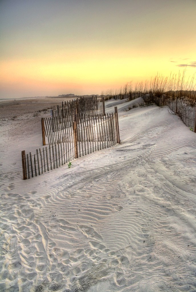
sand trap

View-A-20_Sarver_NIWBNERR
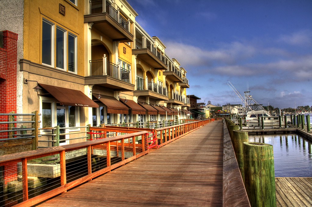
Shop, Dine or Sail?

Chapel View

setting sun

Video of waves and sun rising

Epic view from the bridge

sweet southern comfort

Sunrise Pawley's Island
pawleys island 1986 - port arthur long view
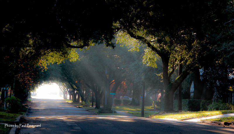
Sunrise on Meeting Street

Sunrise Pawley's Island
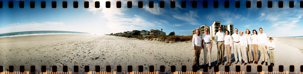
The Hunts, Polks and McLaurins Panorama
I've had worse hotel views.

2013.09.26 95K Views

Window view

View from the front

View from the back
21SEP11: Caledonia marsh

Video of Early morning beach waves and birds
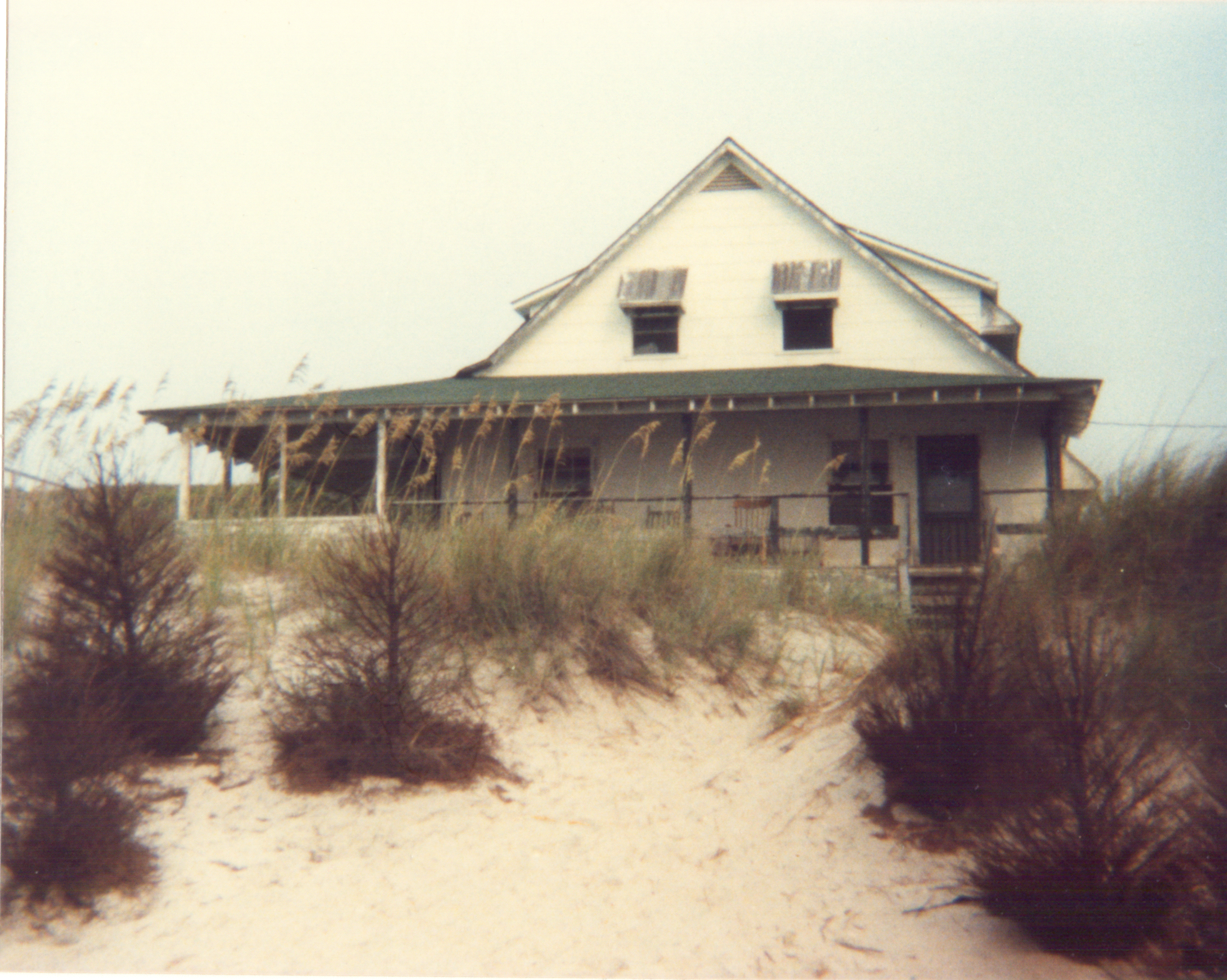
View from the Marsh, ca. 1980
Topographic Map of Cannon St, Georgetown, SC, USA
Find elevation by address:

Places near Cannon St, Georgetown, SC, USA:
407 Church St
402 Church St
527 Church St
Olives Tavern
315 Church St
419 Queen St
222 Duke St
401 Highmarket St
411 Highmarket St
214 Cannon St
401 Prince St
617 Highmarket St
411 Prince St
225 E Bay St
723 Highmarket St
422 Front St
129 E Bay St
500 Front St
600 Front St
19 Queen St
Recent Searches:
- Elevation of Kreuzburger Weg 13, Düsseldorf, Germany
- Elevation of Gateway Blvd SE, Canton, OH, USA
- Elevation of East W.T. Harris Boulevard, E W.T. Harris Blvd, Charlotte, NC, USA
- Elevation of West Sugar Creek, Charlotte, NC, USA
- Elevation of Wayland, NY, USA
- Elevation of Steadfast Ct, Daphne, AL, USA
- Elevation of Lagasgasan, X+CQH, Tiaong, Quezon, Philippines
- Elevation of Rojo Ct, Atascadero, CA, USA
- Elevation of Flagstaff Drive, Flagstaff Dr, North Carolina, USA
- Elevation of Avery Ln, Lakeland, FL, USA