Elevation of Candlewood Dr, El Dorado Hills, CA, USA
Location: United States > California > El Dorado County > El Dorado Hills >
Longitude: -121.04503
Latitude: 38.617274
Elevation: 208m / 682feet
Barometric Pressure: 99KPa
Elevation Map:
Satellite Map:
Related Photos:
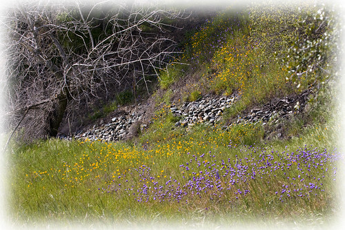
Spring Wildflowers 0026

Butterfly-7418

Folsom Lake Lupines
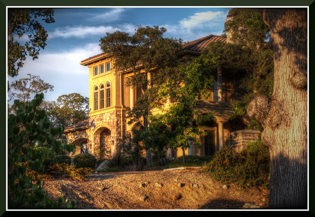
Day 987: ElDorado_1957d
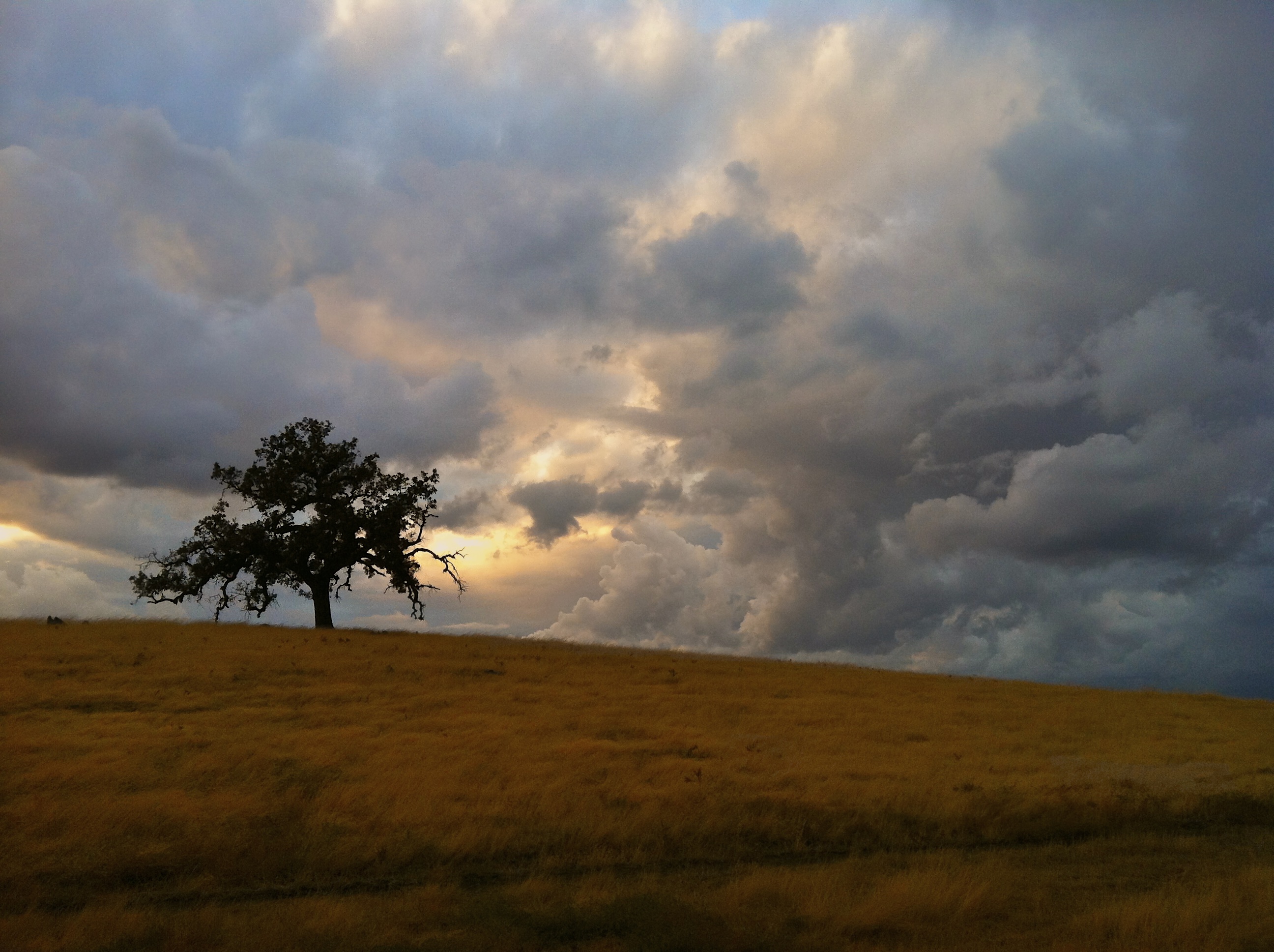
Prairie Storm

full moon at sunrise

Day 950: Car_0187d

Day 922: Truck_8983d

Day 988: Food_2037

Day 947: Jeep_0014

Day 897: Folsom_7912d

Rainbow Bridge
Topographic Map of Candlewood Dr, El Dorado Hills, CA, USA
Find elevation by address:

Places near Candlewood Dr, El Dorado Hills, CA, USA:
9039 Heritage Parkway
4009 San Andres Way
4861 Concordia Dr
4699 Monte Mar Dr
2100 Valley View Pkwy
3088 4 Seasons Dr
El Dorado Hills, CA, USA
205 Montrose Ct
Platt Cir, El Dorado Hills, CA, USA
4264 Crazy Horse Rd
1799 Toby Dr
Grazing Hill Road
300 Moon Cir
4698 Pavonia Ct
4701 Pavonia Ct
4699 Pavonia Ct
Carrillo Ct, Cameron Park, CA, USA
1973 Horseshoe Glen Cir
4589 Bocana Rd
Castana Drive
Recent Searches:
- Elevation of W Granada St, Tampa, FL, USA
- Elevation of Pykes Down, Ivybridge PL21 0BY, UK
- Elevation of Jalan Senandin, Lutong, Miri, Sarawak, Malaysia
- Elevation of Bilohirs'k
- Elevation of 30 Oak Lawn Dr, Barkhamsted, CT, USA
- Elevation of Luther Road, Luther Rd, Auburn, CA, USA
- Elevation of Unnamed Road, Respublika Severnaya Osetiya — Alaniya, Russia
- Elevation of Verkhny Fiagdon, North Ossetia–Alania Republic, Russia
- Elevation of F. Viola Hiway, San Rafael, Bulacan, Philippines
- Elevation of Herbage Dr, Gulfport, MS, USA