Elevation of Canal, Port Jefferson, OH, USA
Location: United States > Ohio > Shelby County > Salem Township > Port Jefferson >
Longitude: -84.092564
Latitude: 40.3285883
Elevation: 290m / 951feet
Barometric Pressure: 98KPa
Elevation Map:
Satellite Map:
Related Photos:

CSX Q008 in Sidney, Ohio

View of about one-quarter of the Airstreams at Alumapalooza

The view from 35 ft.

Courthouse - Shelby County, Ohio. Closer view.

Ohio sunrise 3

Ohio sunrise 4
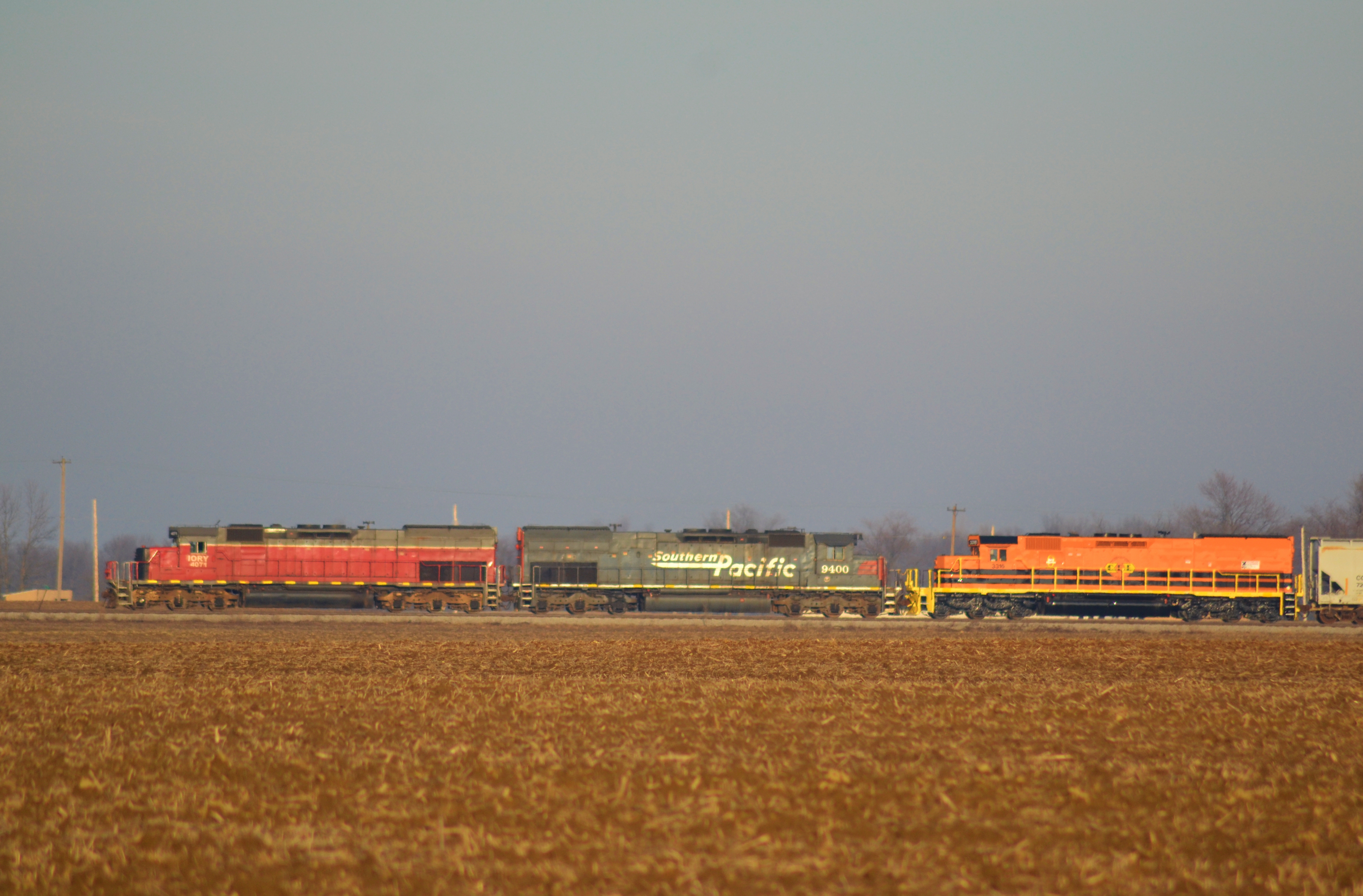
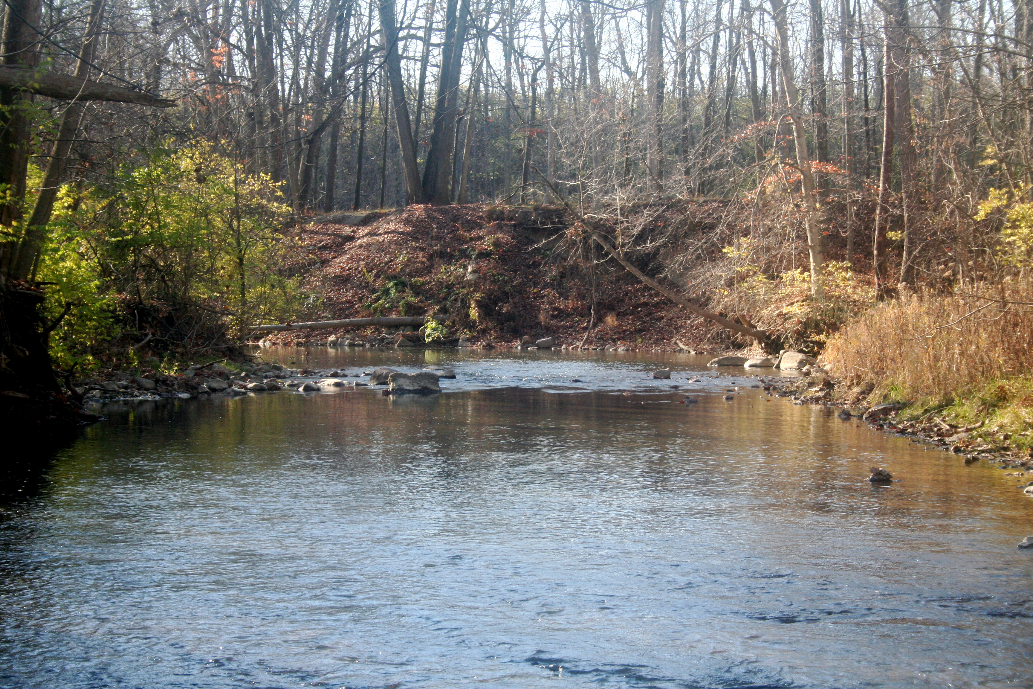
Tunnel motors and corn stubble

The Big Four Bridge
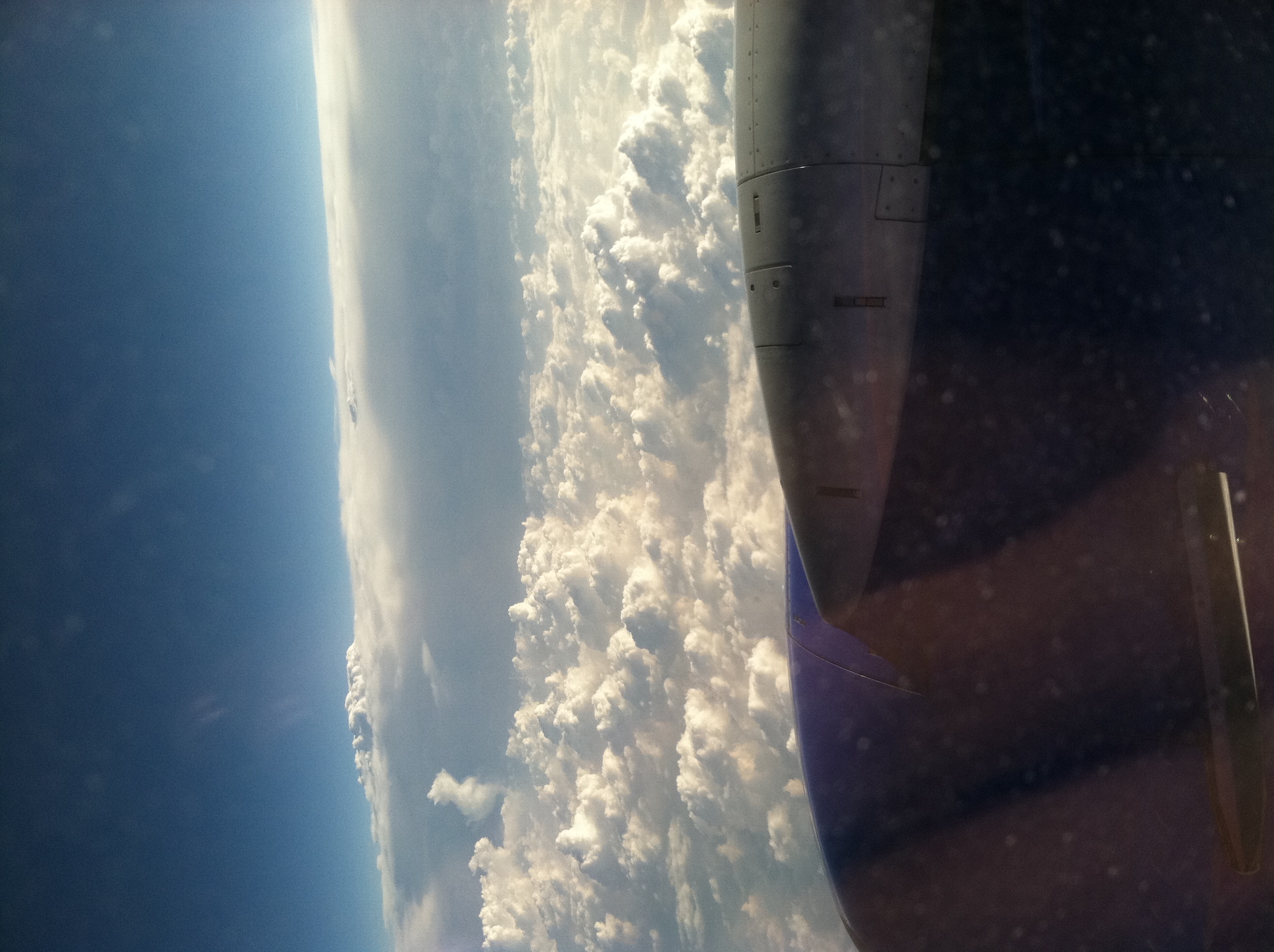
Thanks, Southwest!
Tawawa Civic Park

Amtrak Big Four

Old Wild Rock
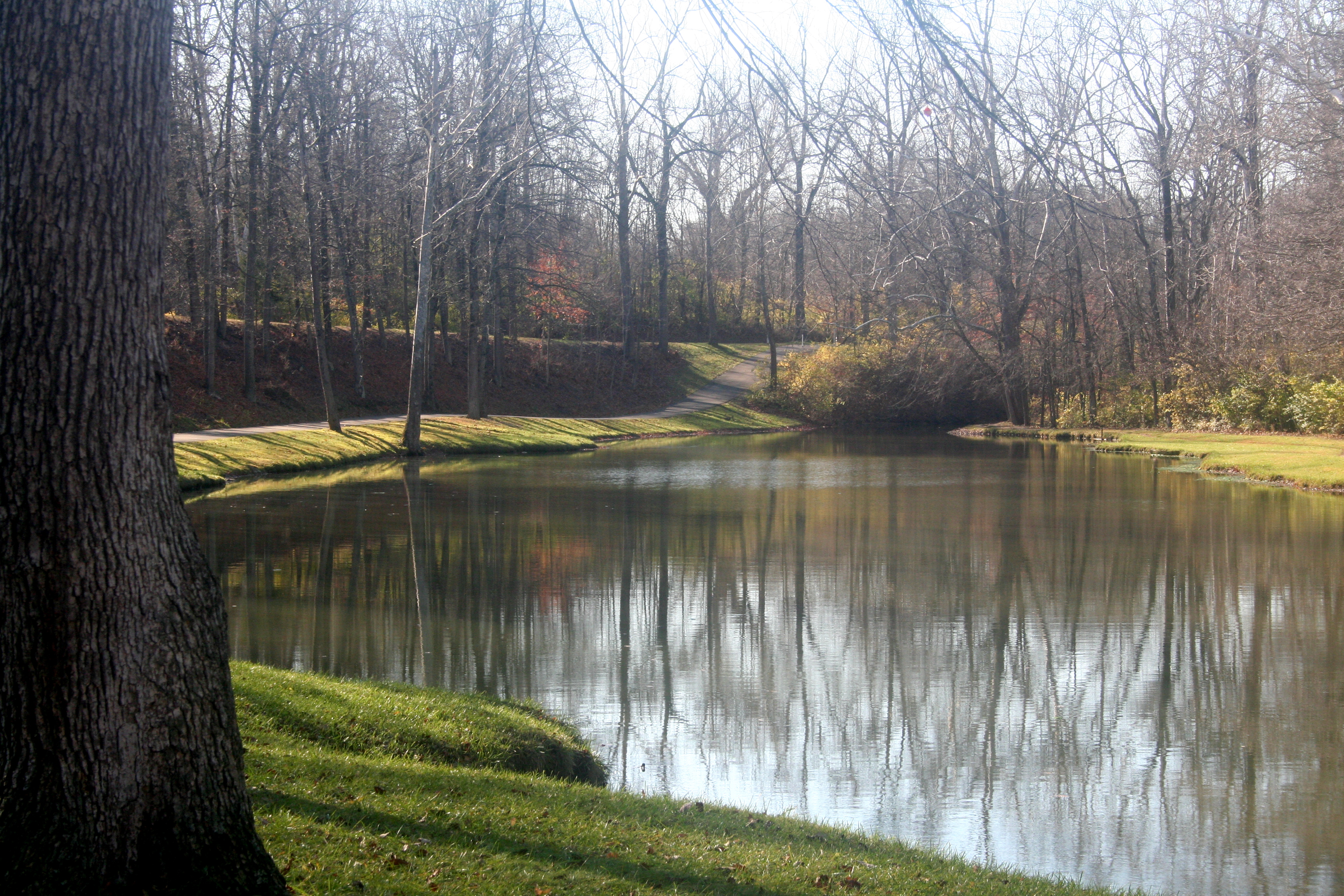
Fish Pond Tawawa Park

Pink and Green Spring

Tawawa Civic Park
Tawawa Civic Park
Silent Alone
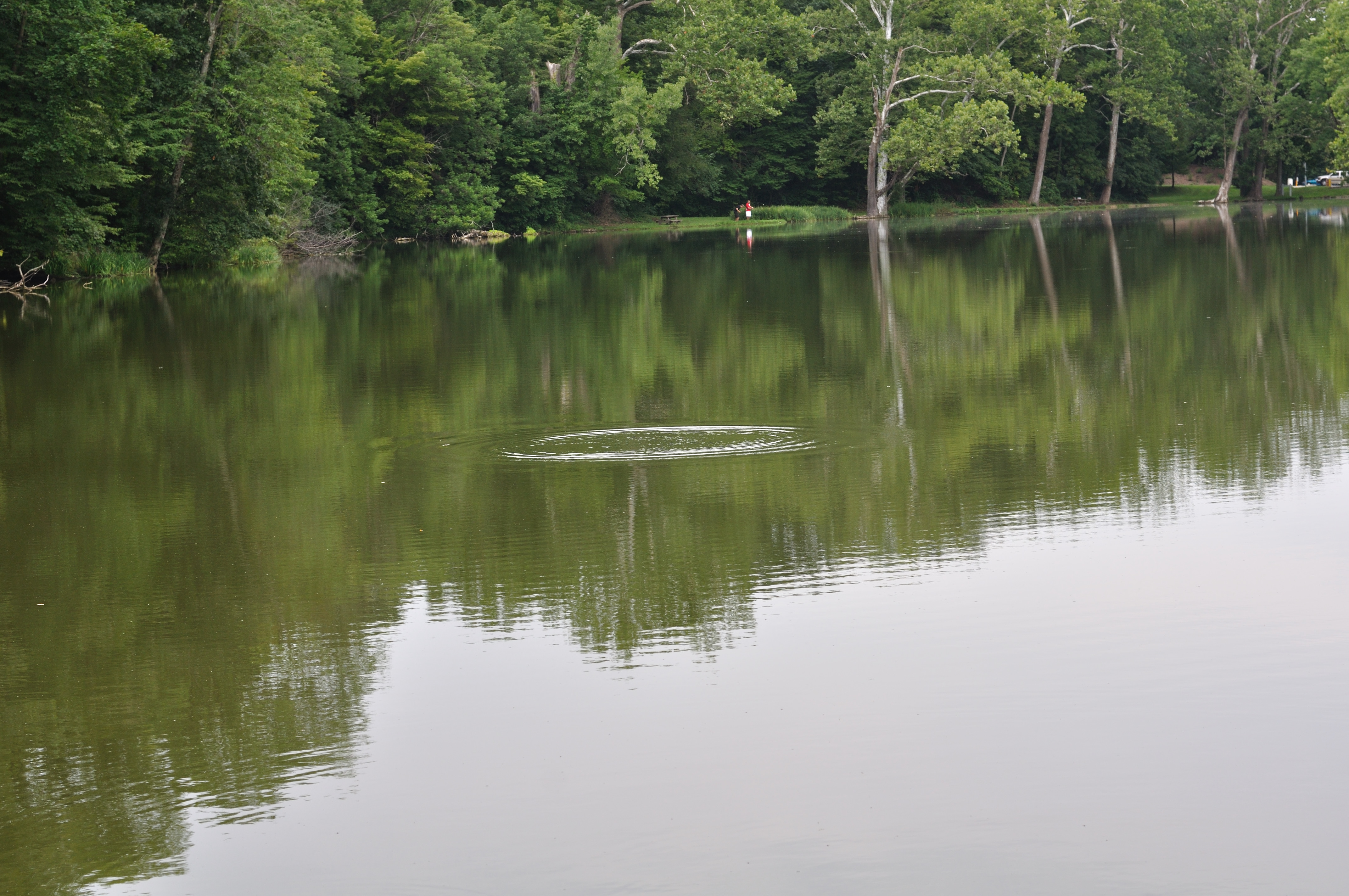
Tawawa Park Sidney, OH

Old Windmill
GreatStone Castle - Sidney, Ohio
Topographic Map of Canal, Port Jefferson, OH, USA
Find elevation by address:

Places near Canal, Port Jefferson, OH, USA:
Port Jefferson
Salem Township
1413 Langdon Rd
729 Arrowhead Dr
300 E Parkwood St
Palestine St, Pemberton, OH, USA
820 Doorley Rd
620 Fulton St
20909 Maplewood Rd
Franklin Township
19435 Oh-119
Sidney
Maplewood
915 W Michigan St
Clinton Township
E South St, Anna, OH, USA
Anna
Dinsmore Township
3155 Deer Path Way
Shelby County
Recent Searches:
- Elevation of W Granada St, Tampa, FL, USA
- Elevation of Pykes Down, Ivybridge PL21 0BY, UK
- Elevation of Jalan Senandin, Lutong, Miri, Sarawak, Malaysia
- Elevation of Bilohirs'k
- Elevation of 30 Oak Lawn Dr, Barkhamsted, CT, USA
- Elevation of Luther Road, Luther Rd, Auburn, CA, USA
- Elevation of Unnamed Road, Respublika Severnaya Osetiya — Alaniya, Russia
- Elevation of Verkhny Fiagdon, North Ossetia–Alania Republic, Russia
- Elevation of F. Viola Hiway, San Rafael, Bulacan, Philippines
- Elevation of Herbage Dr, Gulfport, MS, USA