Elevation of Campbell Township, IN, USA
Location: United States > Indiana > Jennings County >
Longitude: -85.499419
Latitude: 39.0469595
Elevation: 234m / 768feet
Barometric Pressure: 99KPa
Elevation Map:
Satellite Map:
Related Photos:
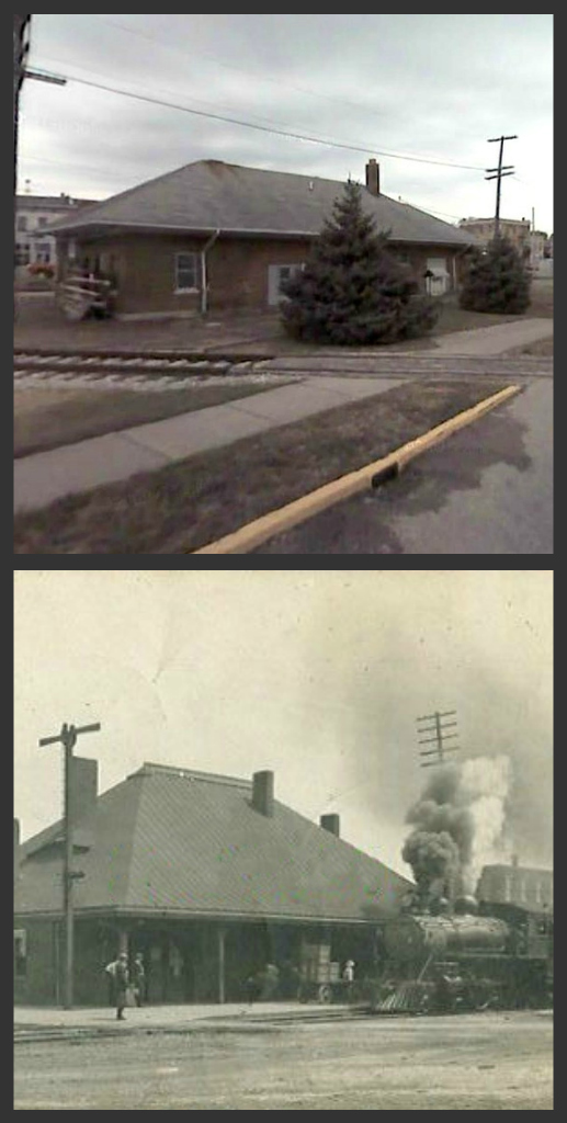
North Vernon, IN Depot, 2007 vs 1907
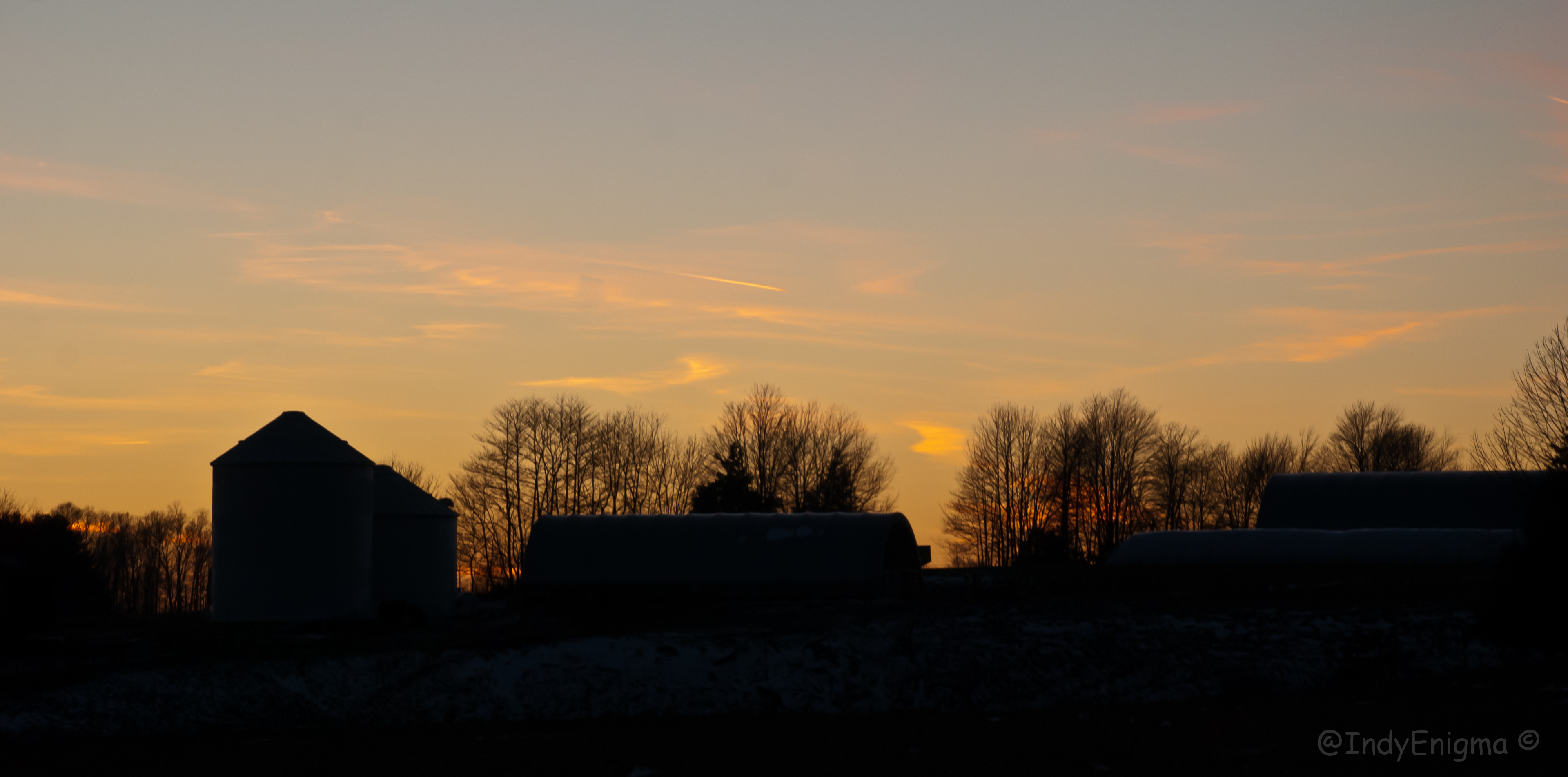
late sunset, looking east, foreground snow 2
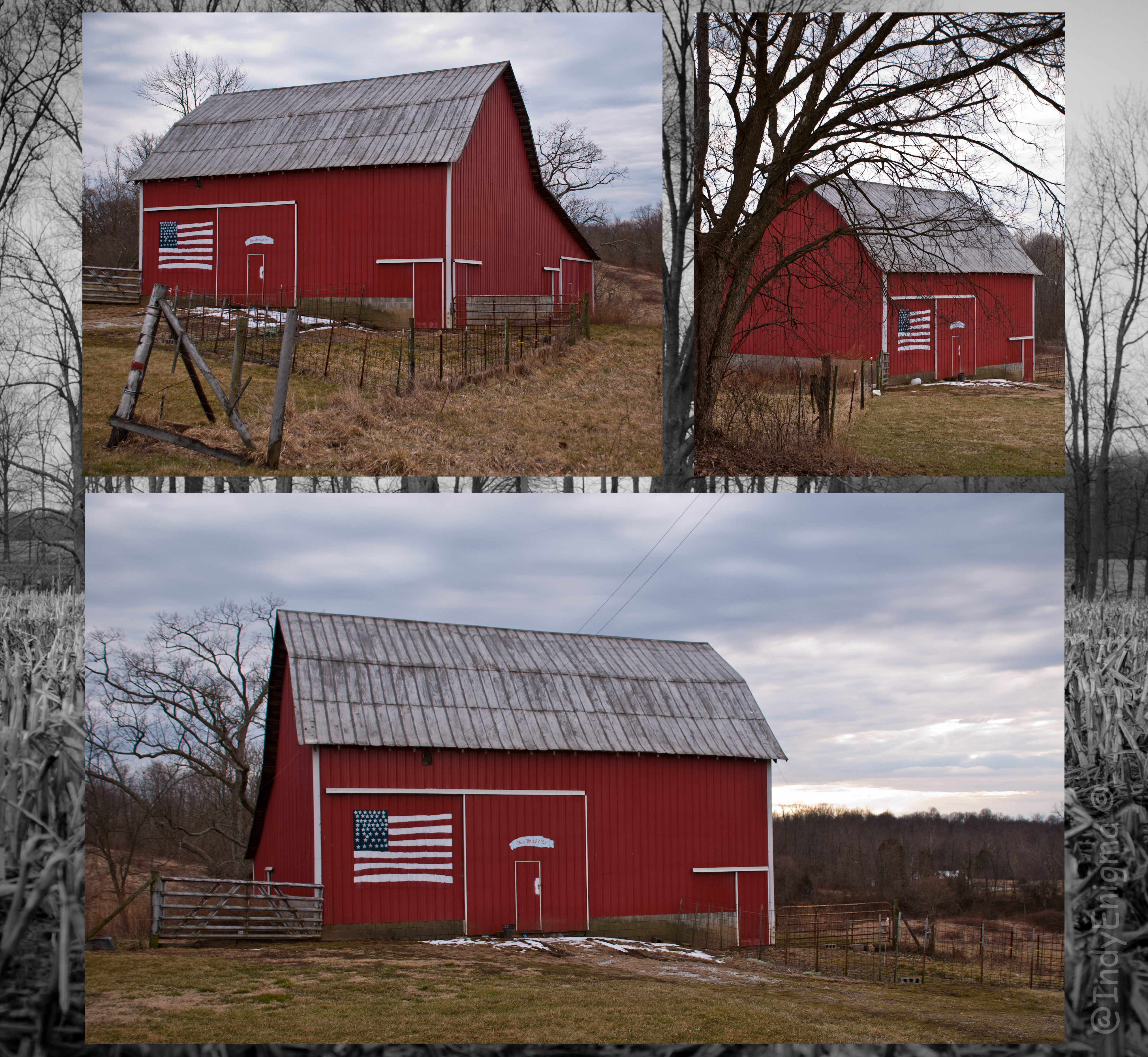
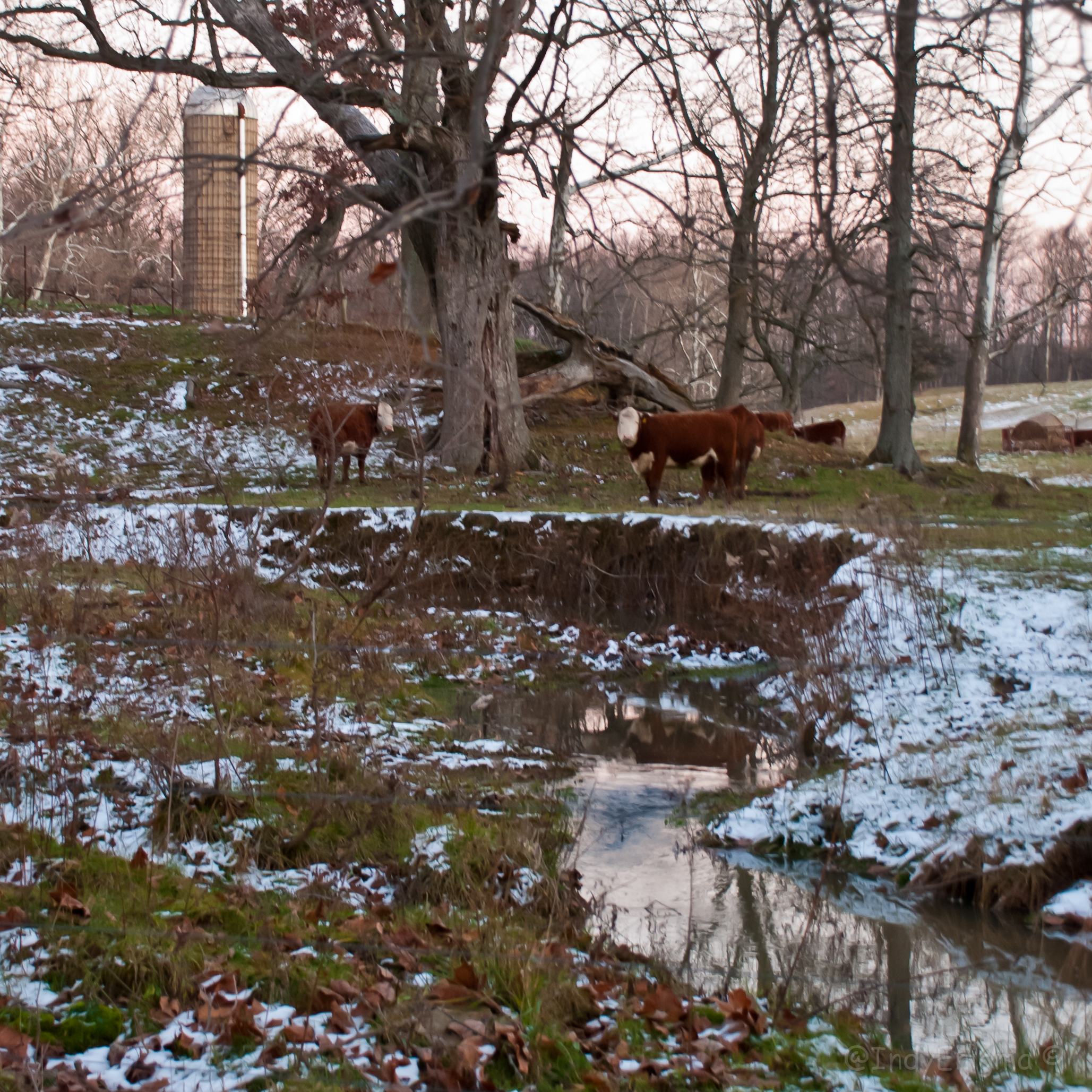
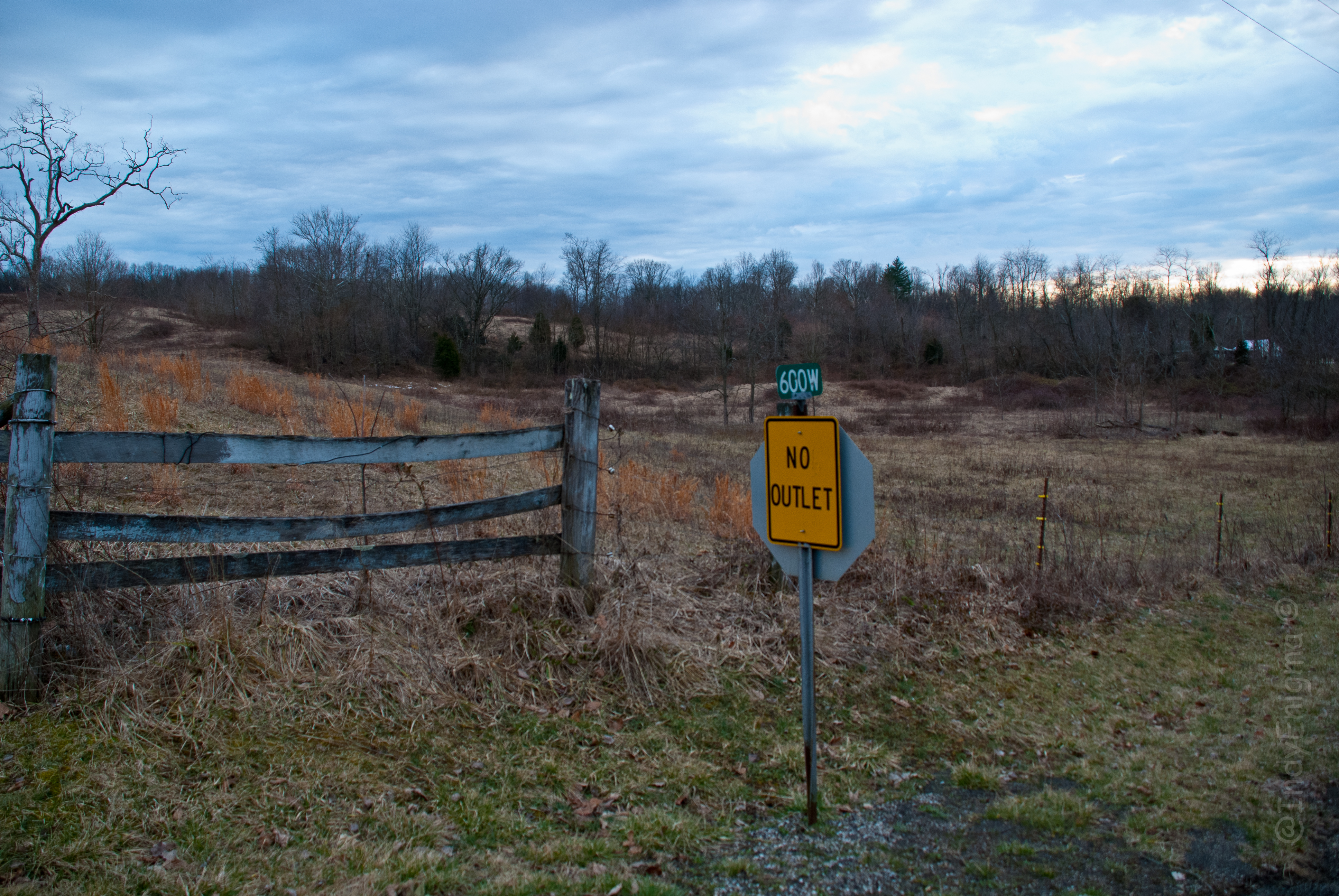
late sunset, farm on a hill
rediscovery...
late sunset, looking east, foreground snow 4
Hopewell Baptist Church original site
North Vernon City Park-1989
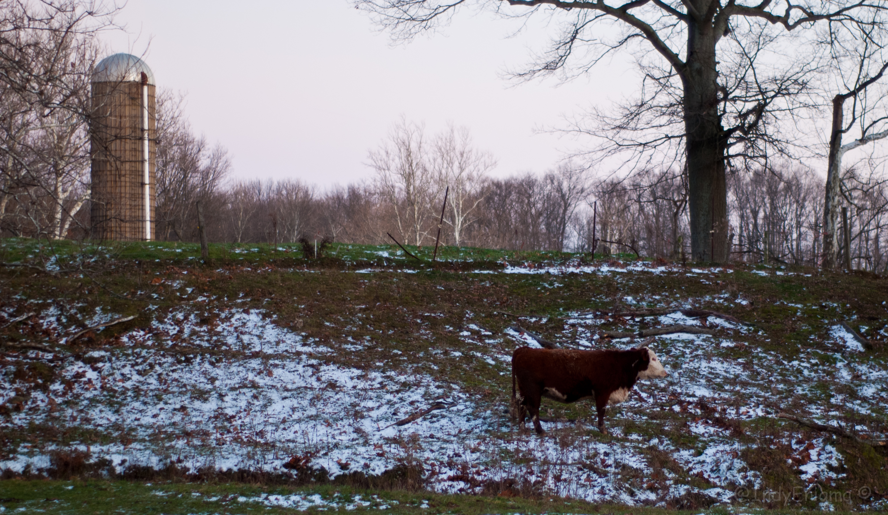
late sunset, looking east, foreground snow 1
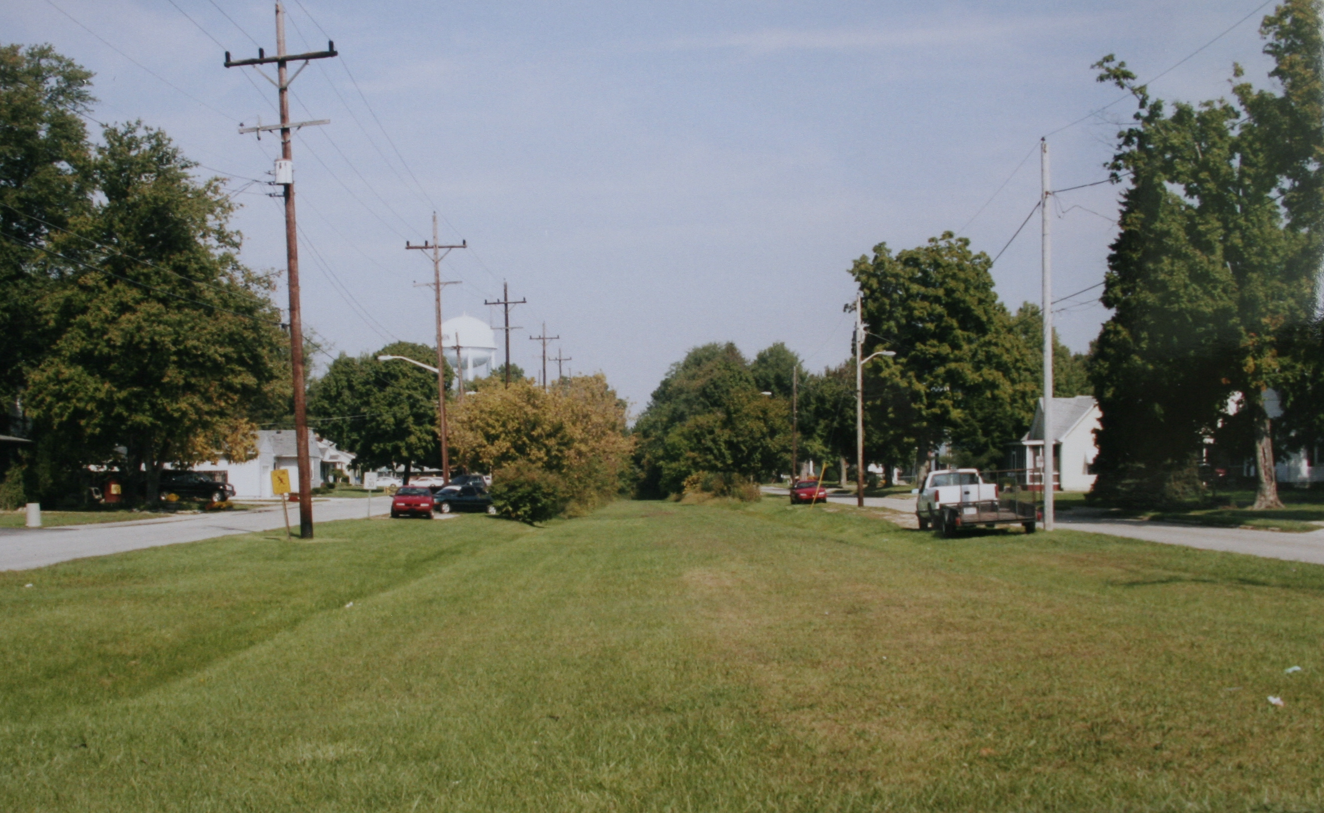
B&O Louisville Branch- North Vernon, Indiana
late sunset, looking east, foreground snow 3
My favorite point of view.
My view of the world
B&O Railroad Louisville Branch Walking trail- North Vernon, IN
A Window In Time
new bale of hay in the feeder...
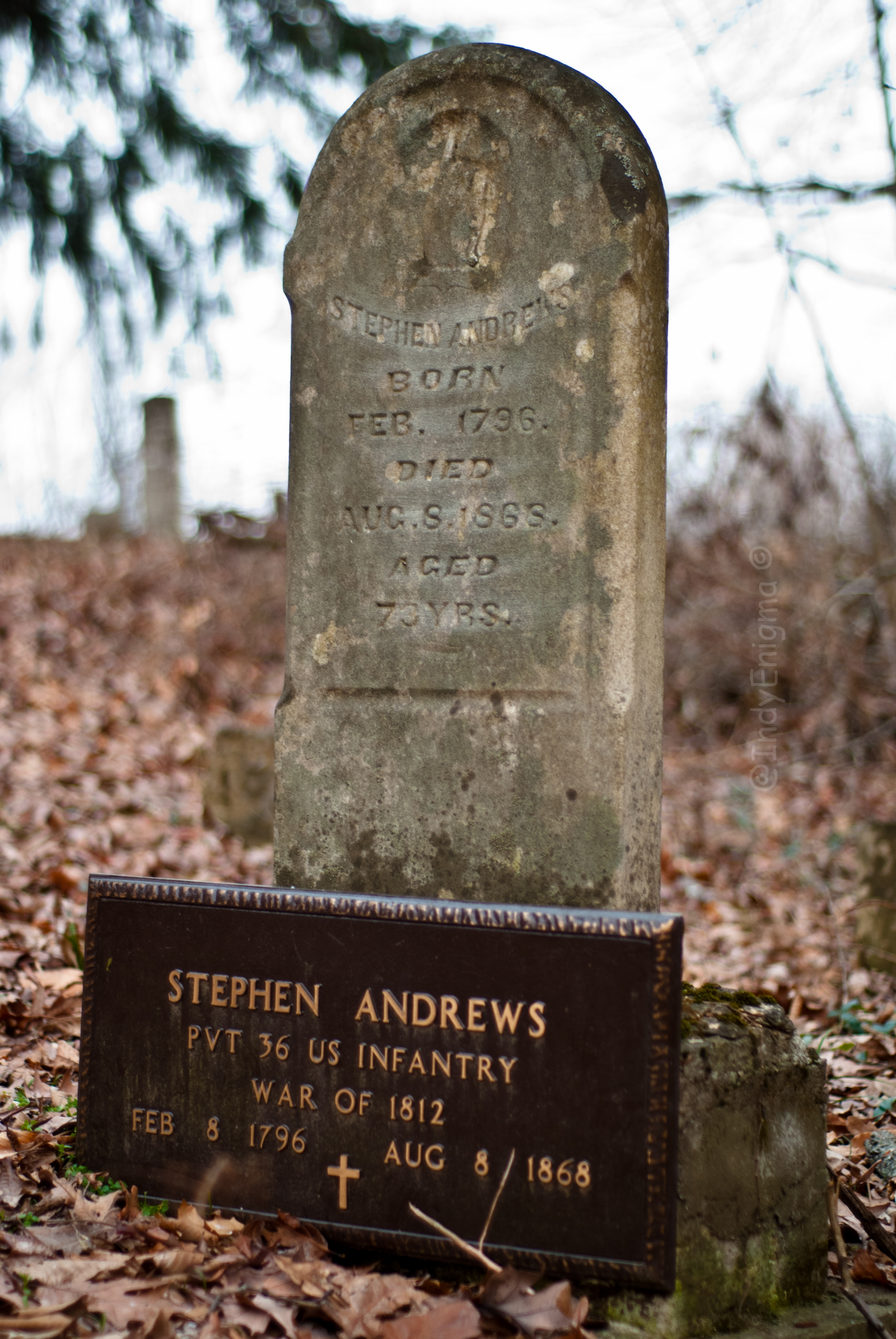
Stephen Andrews

Through the trees

swimming upstream
lessons learned...
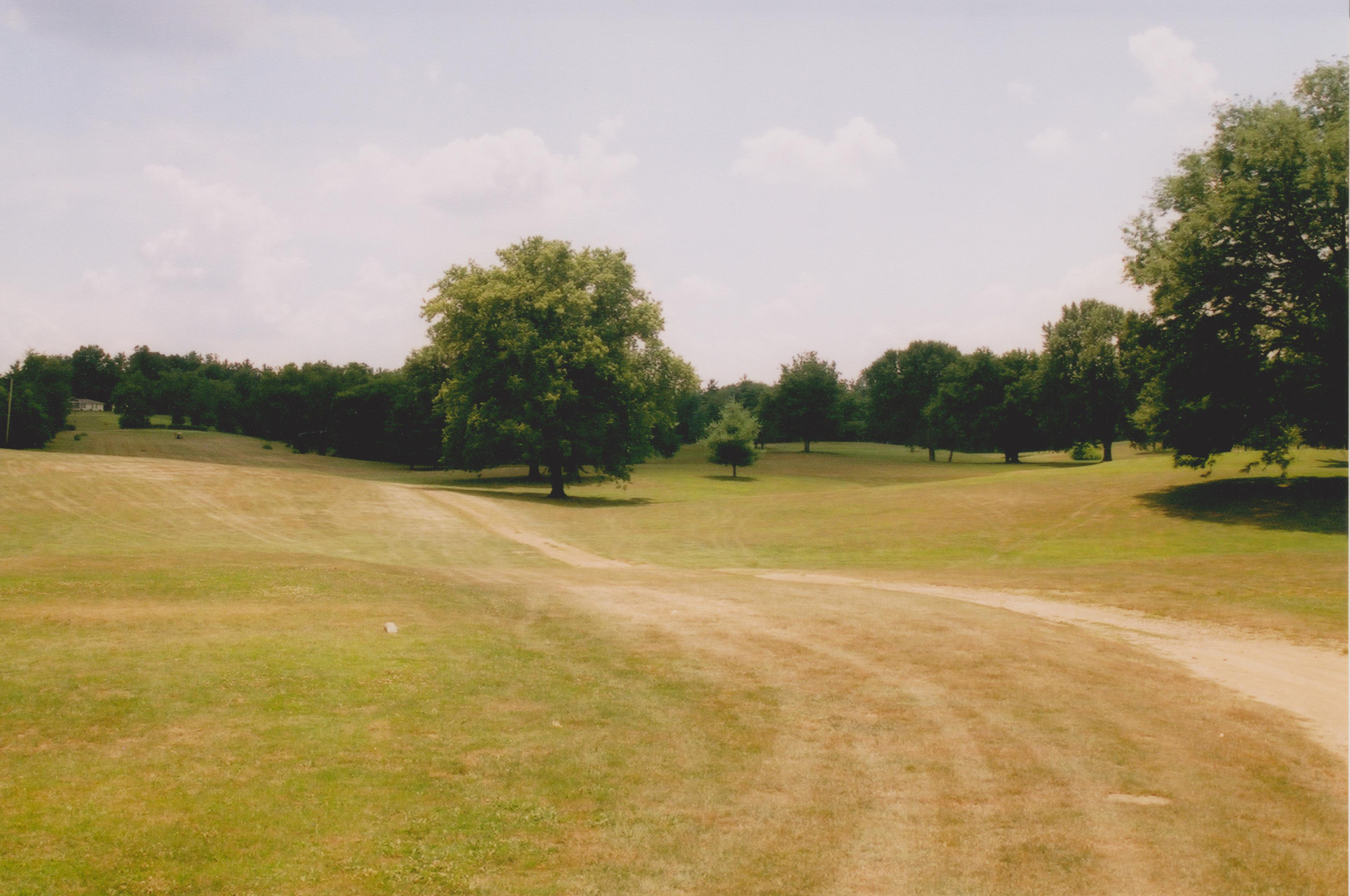
Ford's Crossing 3rd Tee- Par 5

Old 2nd tee

Tunnel Mill

Tunnel Mill

Tunnel Mill

Tunnel Mill
Topographic Map of Campbell Township, IN, USA
Find elevation by address:

Places in Campbell Township, IN, USA:
Places near Campbell Township, IN, USA:
N Main St, Butlerville, IN, USA
Butlerville
E County Rd N, Butlerville, IN, USA
US-50, Butlerville, IN, USA
Holton
Market St, North Vernon, IN, USA
Otter Creek Township
North Vernon
E Walnut St, North Vernon, IN, USA
Sand Creek Township
Center Township
Big Oaks National Wildlife Refuge
Main St, Versailles, IN, USA
Westport
287 Oakridge Dr
S Co Rd W, Westport, IN, USA
Shelby Township
N Reynolds Rd, Dupont, IN, USA
Dupont
Old Michigan Rd, Holton, IN, USA
Recent Searches:
- Elevation of Elwyn Dr, Roanoke Rapids, NC, USA
- Elevation of Congressional Dr, Stevensville, MD, USA
- Elevation of Bellview Rd, McLean, VA, USA
- Elevation of Stage Island Rd, Chatham, MA, USA
- Elevation of Shibuya Scramble Crossing, 21 Udagawacho, Shibuya City, Tokyo -, Japan
- Elevation of Jadagoniai, Kaunas District Municipality, Lithuania
- Elevation of Pagonija rock, Kranto 7-oji g. 8"N, Kaunas, Lithuania
- Elevation of Co Rd 87, Jamestown, CO, USA
- Elevation of Tenjo, Cundinamarca, Colombia
- Elevation of Côte-des-Neiges, Montreal, QC H4A 3J6, Canada