Elevation of Campbell Rd, Century, FL, USA
Location: United States > Florida > Escambia County > Century >
Longitude: -87.247467
Latitude: 30.981342
Elevation: 21m / 69feet
Barometric Pressure: 101KPa
Elevation Map:
Satellite Map:
Related Photos:

L180 Wawbeek Alabama

Duck Sunset
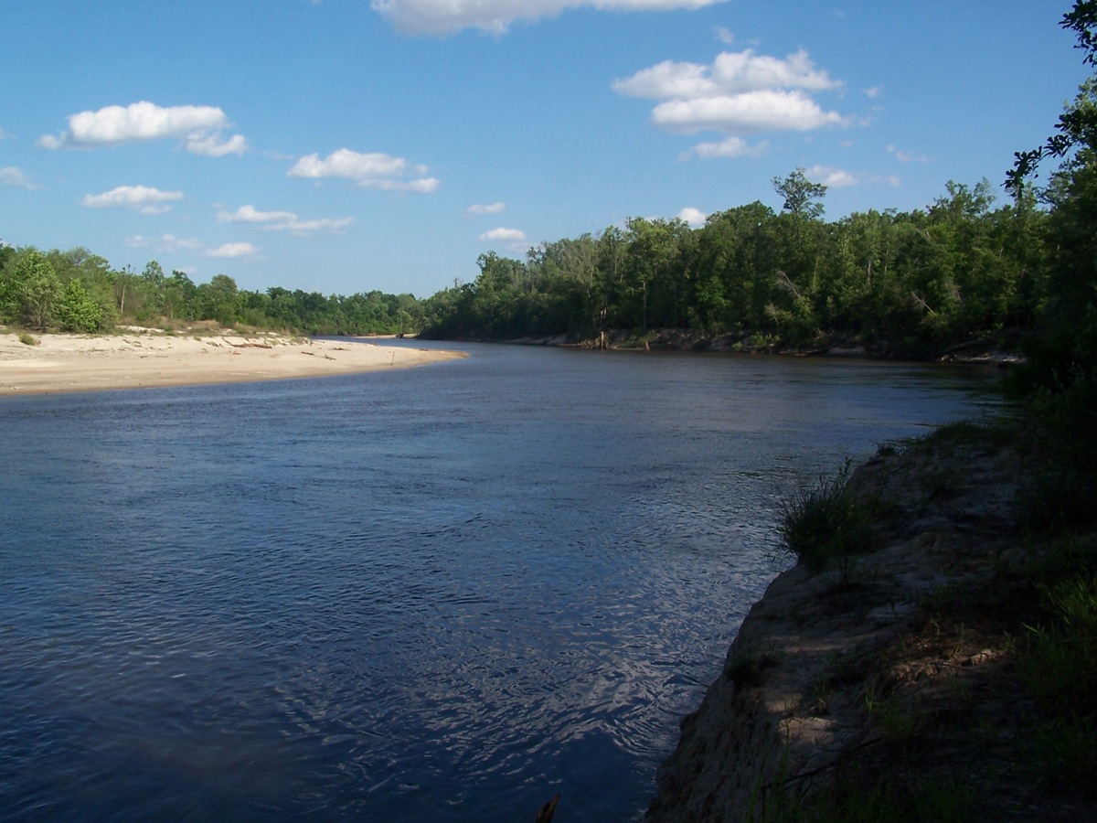
Escambia River

#sunrise #alabama

Wawbeek Al, Pusher, 5mph

Bluff Springs Beaver Dam

Escambia River
_DSC0058.jpg

_DSC0046.jpg
DSC_1187.jpg
Topographic Map of Campbell Rd, Century, FL, USA
Find elevation by address:

Places near Campbell Rd, Century, FL, USA:
Century
Houston St, Flomaton, AL, USA
Flomaton
121 2nd St
1002 Palafox St
Welka Rd, Flomaton, AL, USA
241 Bridlepath Ln
345 Bridlepath Ln
48 Sam Jones Rd, Atmore, AL, USA
7599 N Pine Barren Rd
US-31, Atmore, AL, USA
County Rd 99, Century, FL, USA
Robinsonville Rd, Atmore, AL, USA
Old Bratt Rd, Atmore, AL, USA
2211 Old Bratt Rd
1587 Airport Rd
Medical Park Dr, Atmore, AL, USA
Atmore
AL-21, Atmore, AL, USA
4121 Rockaway Creek Rd
Recent Searches:
- Elevation of Hickory Blvd, Bonita Springs, FL, USA
- Elevation of Lalagbene, Bayelsa, Nigeria
- Elevation of Ogbosuware Health Centre, 2WWJ+4PJ, Lalagbene, Bayelsa, Nigeria
- Elevation of Duckhorn Ct, Las Vegas, NV, USA
- Elevation of Garretts Run Rd, Ford City, PA, USA
- Elevation of N WI-55, Freedom, WI, USA
- Elevation map of Hadiya, Ethiopia
- Elevation of Hosaina, Ethiopia
- Elevation of Verde Terrace, North Port, FL, USA
- Elevation of US-, Leesburg, FL, USA