Elevation of Camp Creek Road, Camp Creek Rd, Saluda, NC, USA
Location: United States > North Carolina > Polk County > Saluda > Saluda >
Longitude: -82.367325
Latitude: 35.2426268
Elevation: 588m / 1929feet
Barometric Pressure: 94KPa
Elevation Map:
Satellite Map:
Related Photos:

Hendersonville Bears 13 - Into The Wild

PEARSON'S FALLS BLUE RIDGE MOUNTAINS ~ N.C.

Poinsett Bridge near Highland, SC

Pearson's Falls

Flat Rock Village Hall

Pearson's Falls-through the Trees

Sugarloaf Elementary School, Hendersonville, NC

90/365 ~ Saluda Cottages, Flat Rock, NC

Downtown Hendersonville, North Carolina

Coca-Cola Relieves Fatigue and Exhaustion

Big Bradley Falls

Saluda Grade
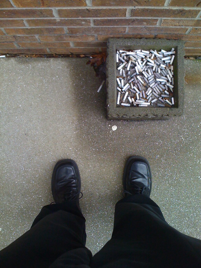
A Nasty Habit

View from Carl Sandburg House

Saluda runaway track

Log Bench

Orange Peppers

In a Hurry

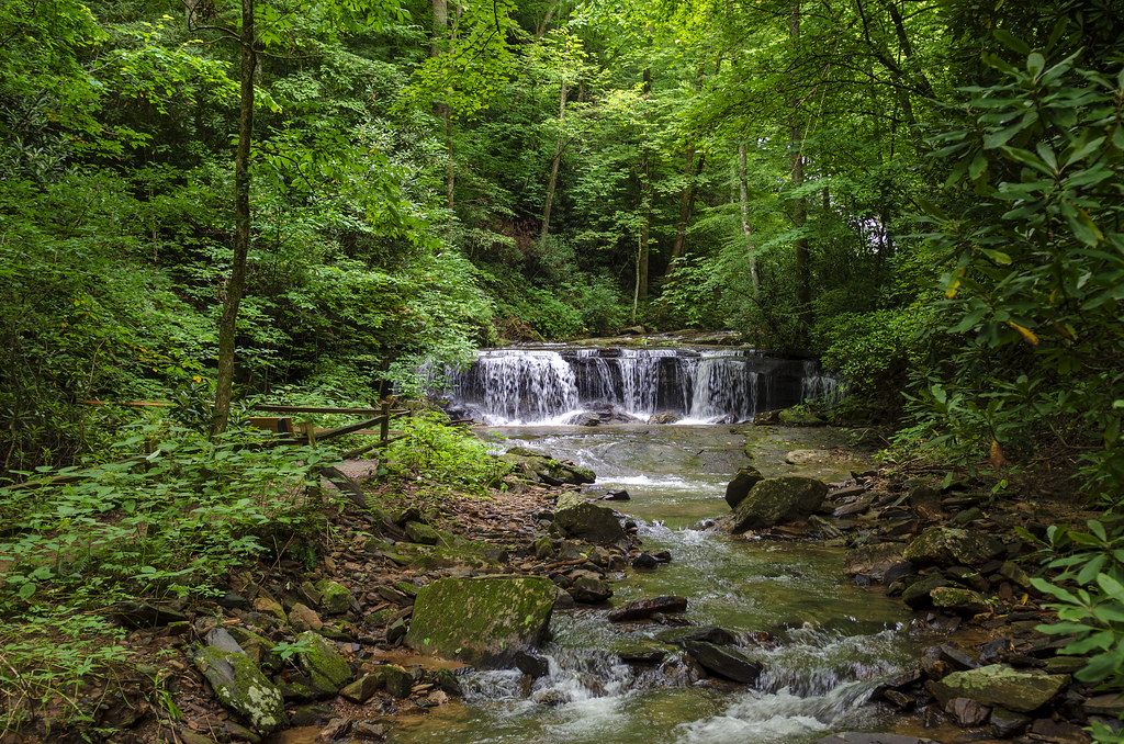
Cascading Water

Pearson Lower New Trail - Read Description

PV McCain Traffic Lights
Peaceful Trail
Gentle Falls on the North Pacolet River

Falls Along the Pacolet

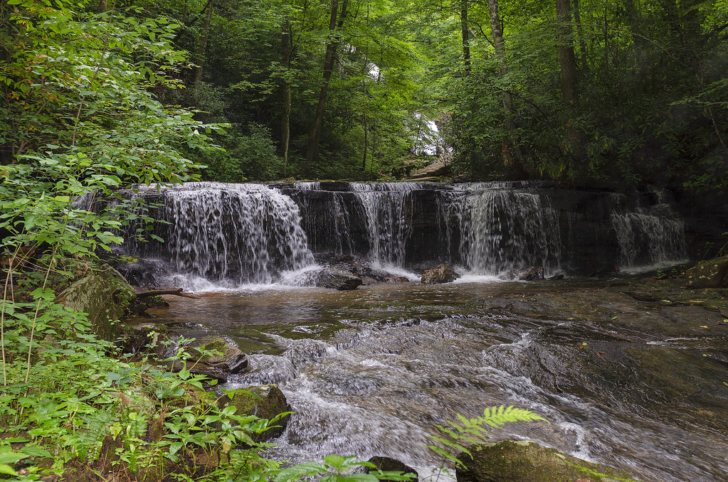
Water Dancing on the Rocks

Pearson Falls

Gentle North Pacolet

North Pacolet River

North Pacolet River II

Pearson Falls - BW

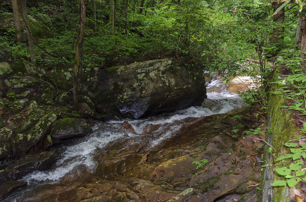
Moss on River Rock

Little Bradley Falls (Saluda, North Carolina)

Sunrise Tryon
North Pacolet River III

Low Key

Pearson Falls II

Mountain Magenta

The Park At Flat Rock (Flat Rock, North Carolina)

Pearson's Trail

Road to Nowhere

First light
Topographic Map of Camp Creek Road, Camp Creek Rd, Saluda, NC, USA
Find elevation by address:

Places near Camp Creek Road, Camp Creek Rd, Saluda, NC, USA:
Dun Roamin Drive
1072 Corsica Ln
Corsica Lane
247 Big Raven Ln
97 Orchard Hill
142 Heatherly Heights Rd
151 Heatherly Heights Rd
7337 Spartanburg Hwy
58 Pot Shoals Rd
35 Walking Stick Way
187 N Lakeview Dr
155 N Lakeview Dr
108 Never Blue Rd
103 S Alta Vista Dr
571 Heatherly Heights Rd
268 S Crescent Dr
268 S Crescent Dr
268 S Crescent Dr
Heatherly Heights Road
2430 Mountain Page Rd
Recent Searches:
- Elevation of Crocker Dr, Vacaville, CA, USA
- Elevation of Pu Ngaol Community Meeting Hall, HWHM+3X7, Krong Saen Monourom, Cambodia
- Elevation of Royal Ontario Museum, Queens Park, Toronto, ON M5S 2C6, Canada
- Elevation of Groblershoop, South Africa
- Elevation of Power Generation Enterprises | Industrial Diesel Generators, Oak Ave, Canyon Country, CA, USA
- Elevation of Chesaw Rd, Oroville, WA, USA
- Elevation of N, Mt Pleasant, UT, USA
- Elevation of 6 Rue Jules Ferry, Beausoleil, France
- Elevation of Sattva Horizon, 4JC6+G9P, Vinayak Nagar, Kattigenahalli, Bengaluru, Karnataka, India
- Elevation of Great Brook Sports, Gold Star Hwy, Groton, CT, USA