Elevation of Camotlán de Miraflores, Col., Mexico
Location: Mexico > Colima >
Longitude: -104.23562
Latitude: 19.2223273
Elevation: 366m / 1201feet
Barometric Pressure: 97KPa
Elevation Map:
Satellite Map:
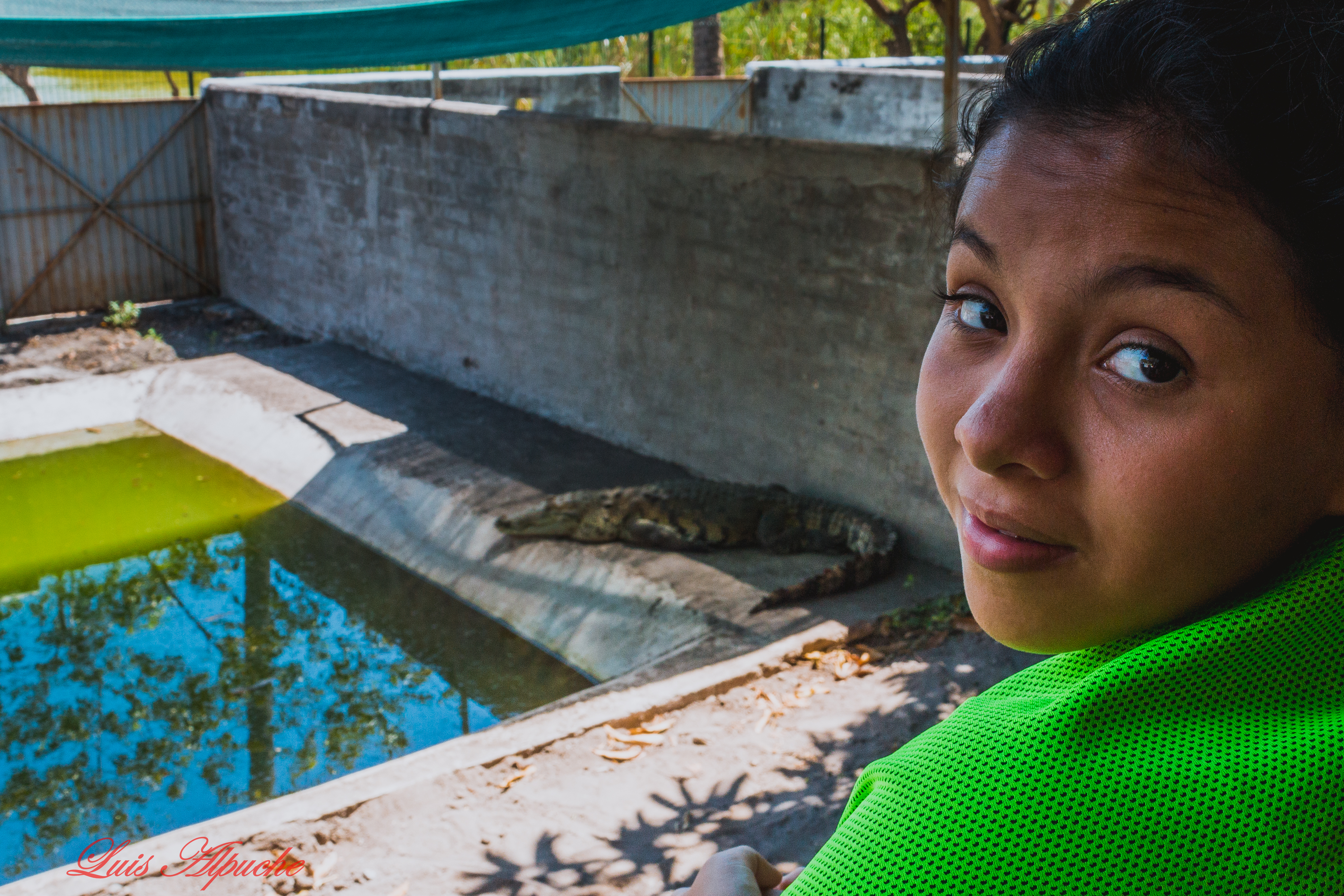
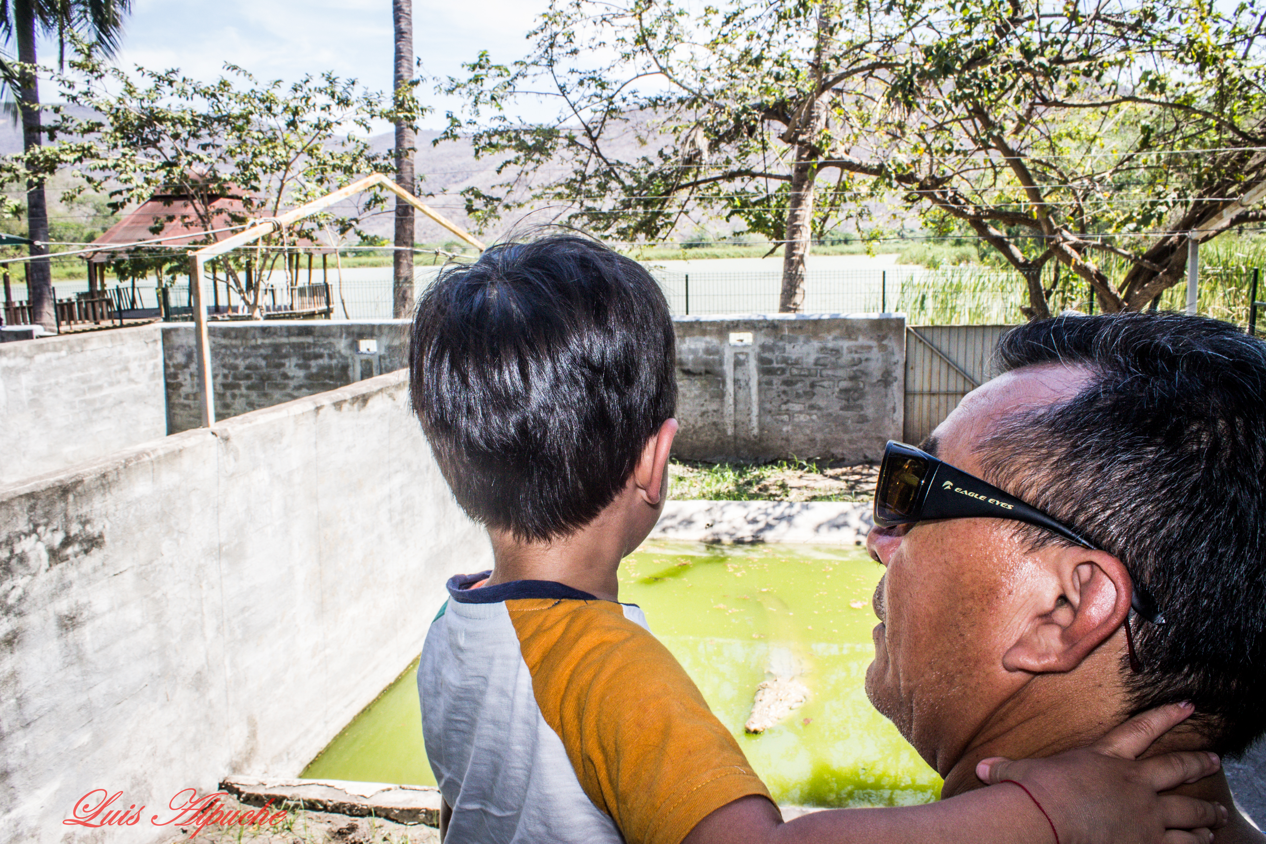
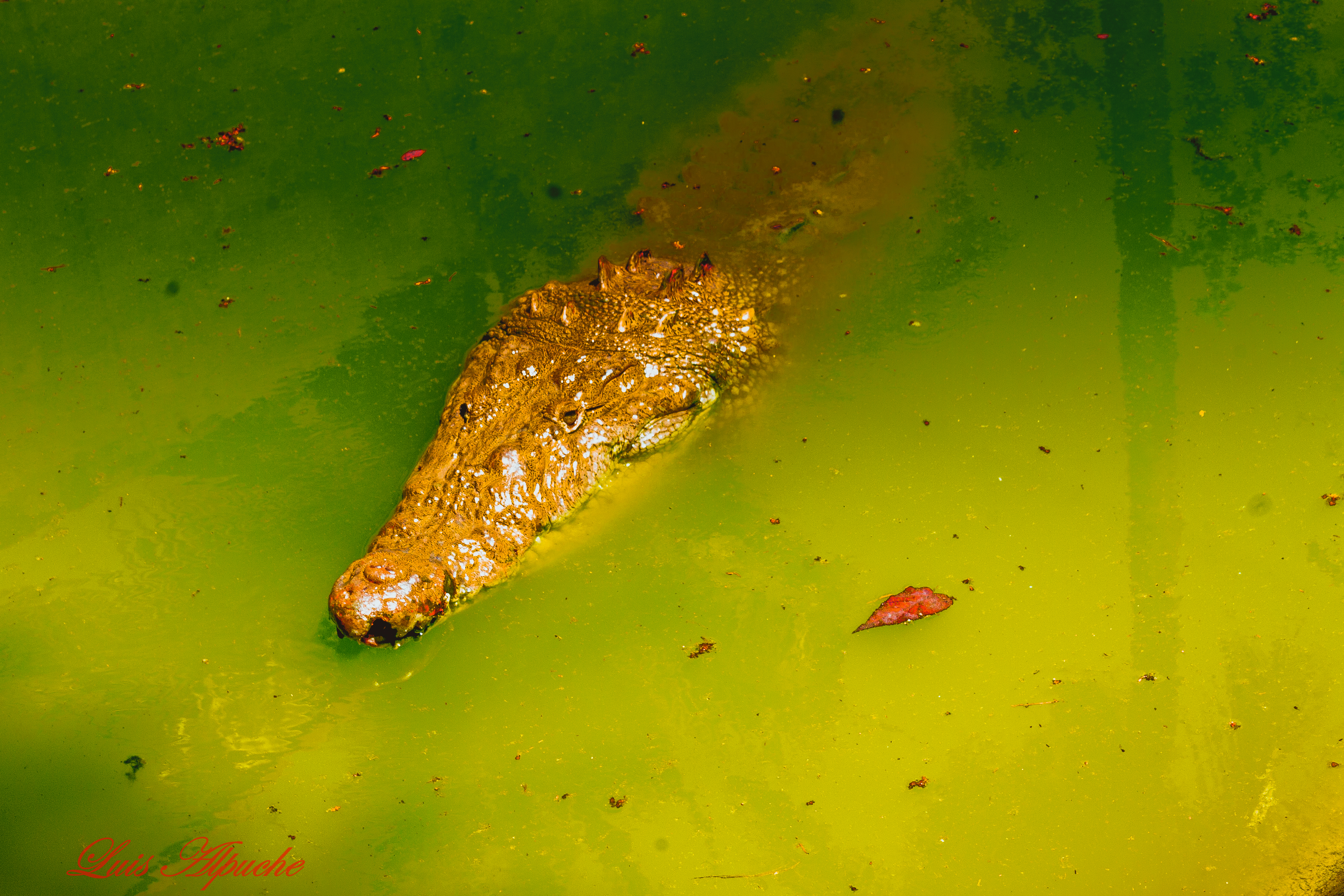
Related Photos:
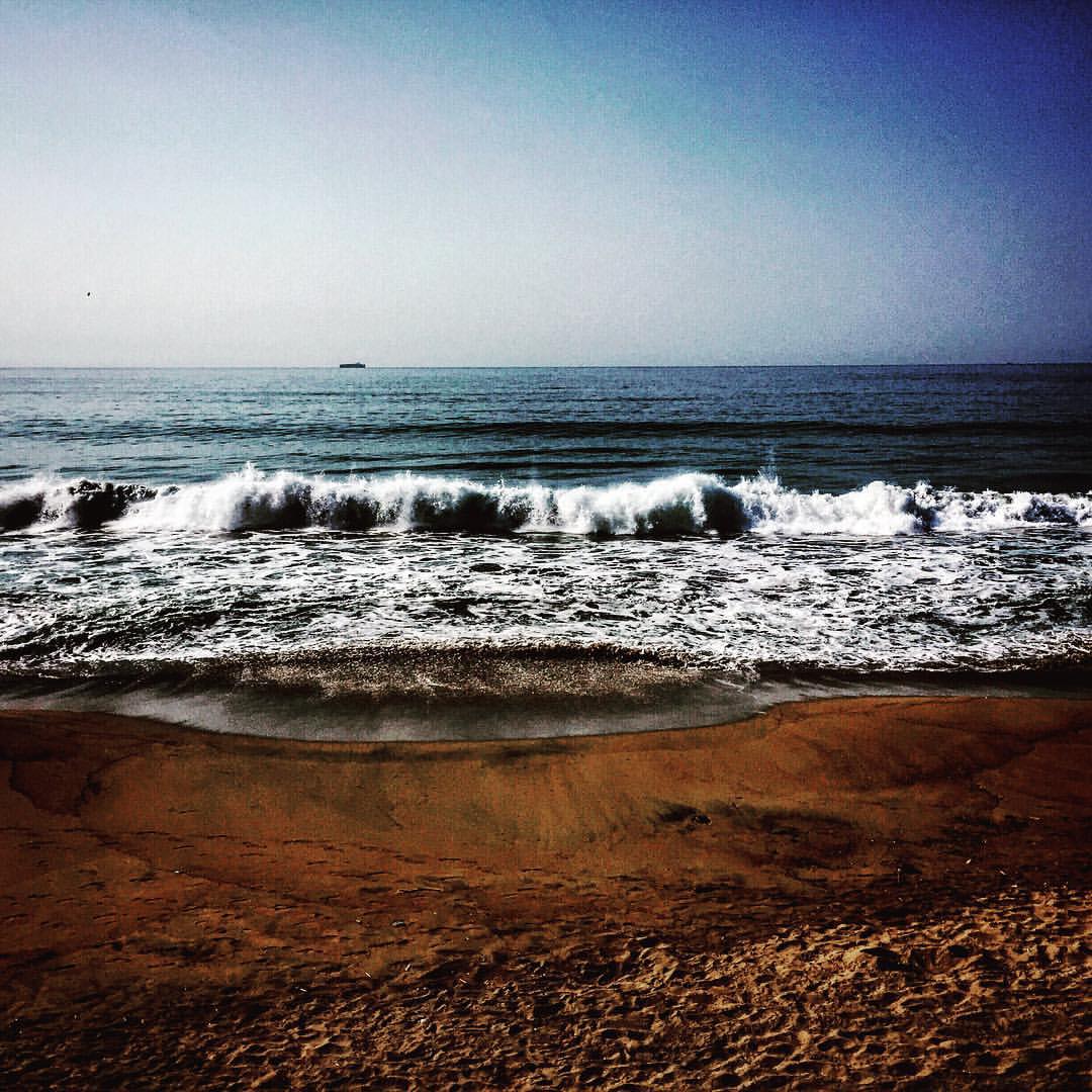
#sea #Manzanillo #work #travel #Mexico #mextagram #wanderlust #ocean

IMG_1678

IMG_1680

IMG_1668

IMG_1672

IMG_1673
IMG_1675
IMG_1676
IMG_1681
IMG_1683

IMG_1682

IMG_1685
IMG_1686

IMG_1687
IMG_1688

IMG_1690

IMG_1693

IMG_1692

IMG_1694

IMG_1702

IMG_1697

IMG_1703
Topographic Map of Camotlán de Miraflores, Col., Mexico
Find elevation by address:

Places near Camotlán de Miraflores, Col., Mexico:
Punta De Agua De Camotlán
Manzanillo
Marimar
Manzanillo
Nepal
El Rocío
Cuautitlán De García Barragán
Calle Miguel Hidalgo 74, Centro, Ejido del Centro, Jal., Mexico
Centro
Av. 8 de Enero 9, Río Marabasco, Col., Mexico
Río Marabasco
Cihuatlán
Centro
Manuel M. Dieguez 40, Centro, La Resolana, Jal., Mexico
Casimiro Castillo
La Resolana
Barra De Navidad
San Patricio
Centro
Roble 12, Centro, San Patricio, Jal., Mexico
Recent Searches:
- Elevation of Unnamed Road, Respublika Severnaya Osetiya — Alaniya, Russia
- Elevation of Verkhny Fiagdon, North Ossetia–Alania Republic, Russia
- Elevation of F. Viola Hiway, San Rafael, Bulacan, Philippines
- Elevation of Herbage Dr, Gulfport, MS, USA
- Elevation of Lilac Cir, Haldimand, ON N3W 2G9, Canada
- Elevation of Harrod Branch Road, Harrod Branch Rd, Kentucky, USA
- Elevation of Wyndham Grand Barbados Sam Lords Castle All Inclusive Resort, End of Belair Road, Long Bay, Bridgetown Barbados
- Elevation of Iga Trl, Maggie Valley, NC, USA
- Elevation of N Co Rd 31D, Loveland, CO, USA
- Elevation of Lindever Ln, Palmetto, FL, USA