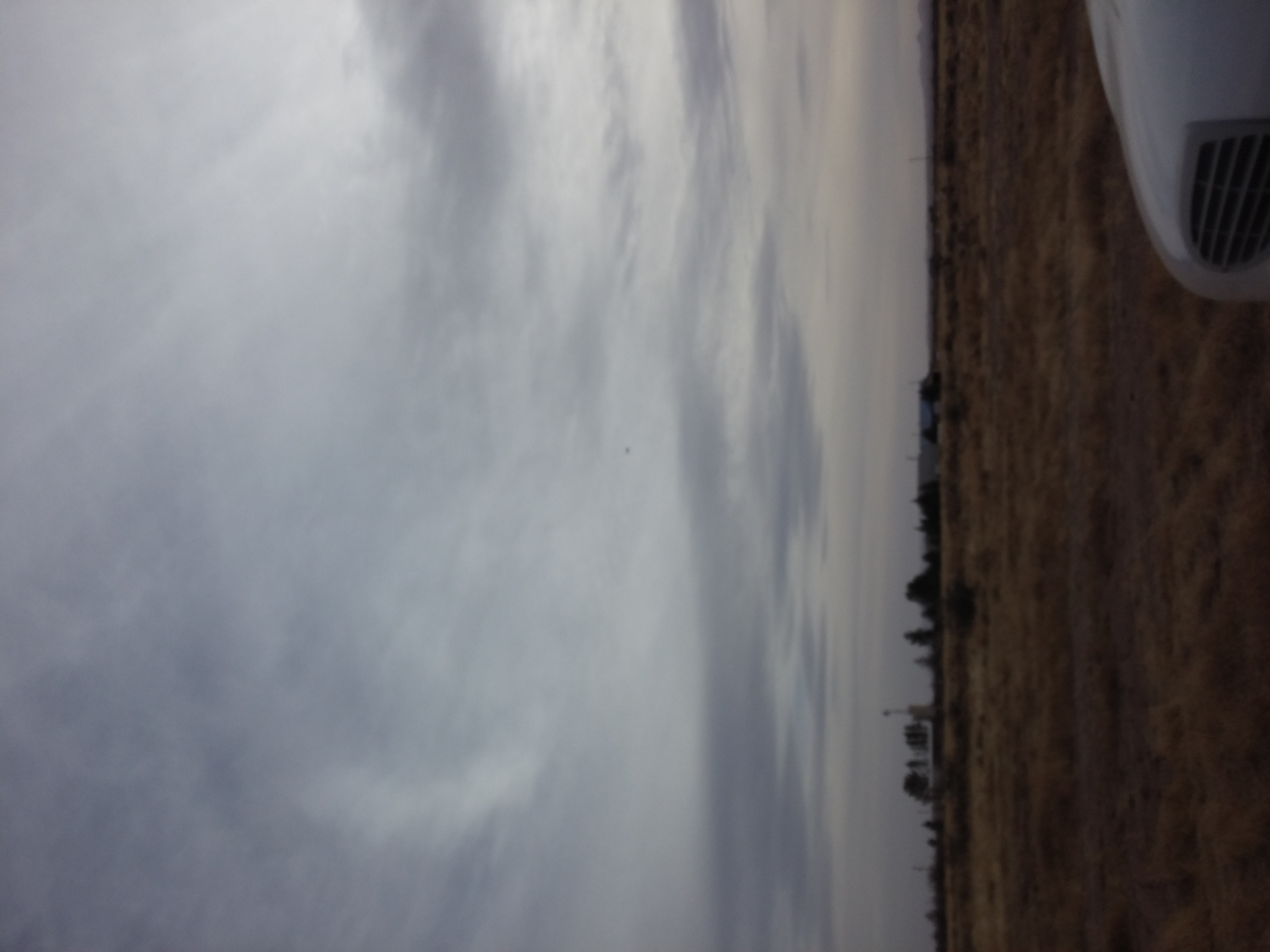
Elevation of Camino Doce SW, Deming, NM, USA
Location: United States > New Mexico > Luna County > Deming >
Longitude: -107.79491
Latitude: 32.1064135
Elevation: 1293m / 4242feet
Barometric Pressure: 87KPa
Elevation Map:
Satellite Map:
Related Photos:
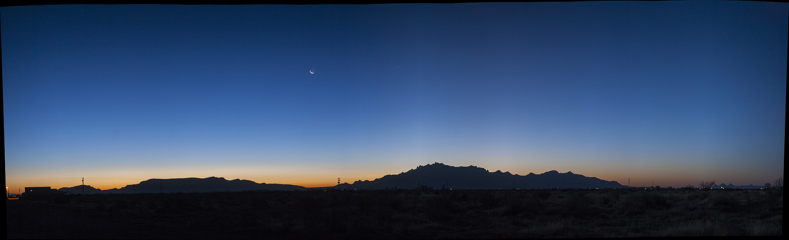
_MG_2689___MG_2698_P_s1024
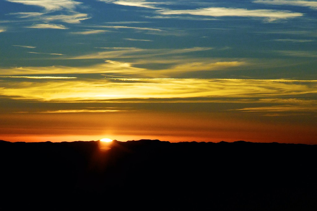
Colorful sunset
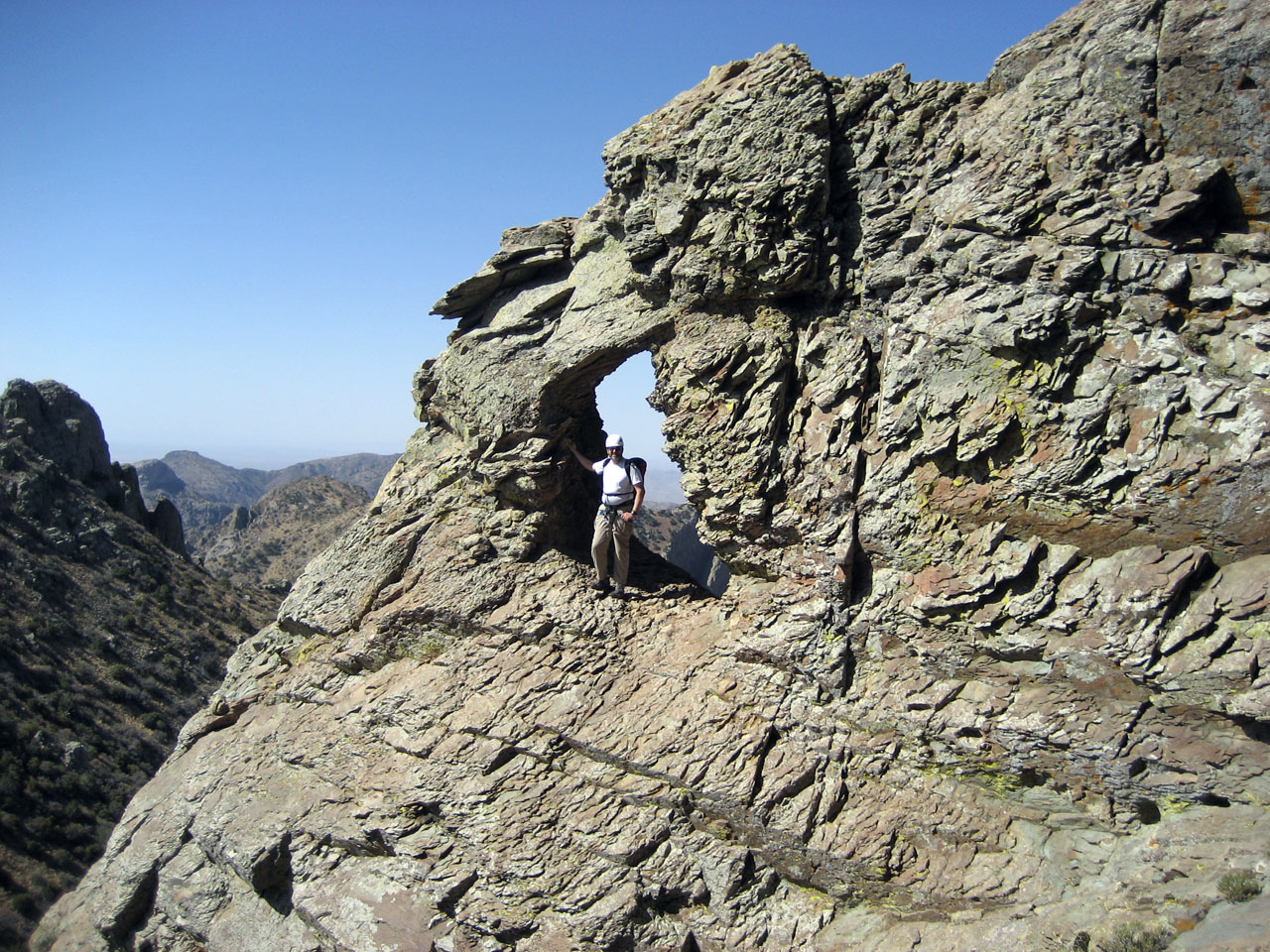
Ken and the Florida Keyhole
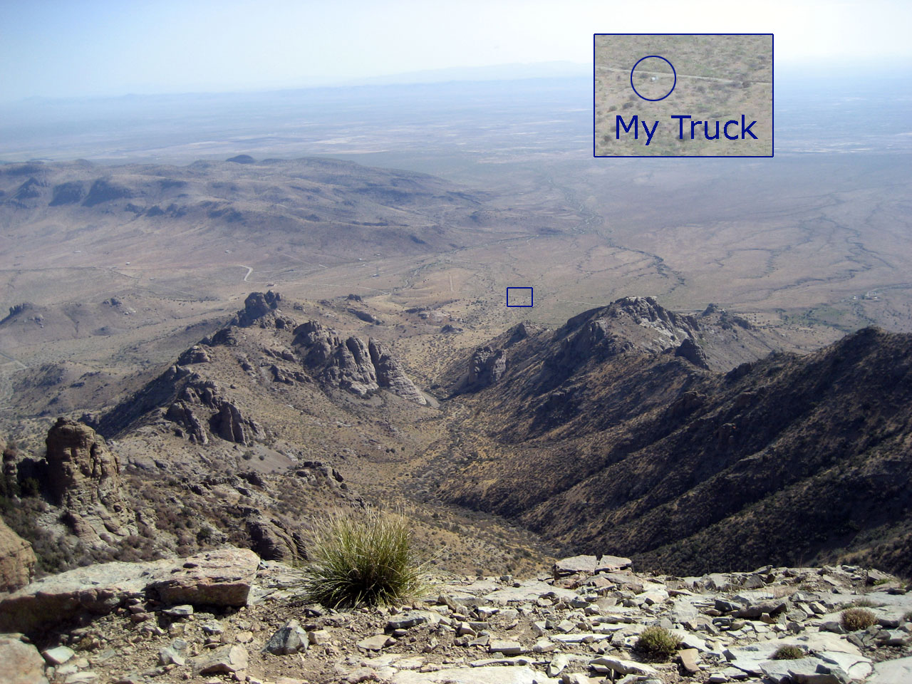
An Exercise in Telephoto
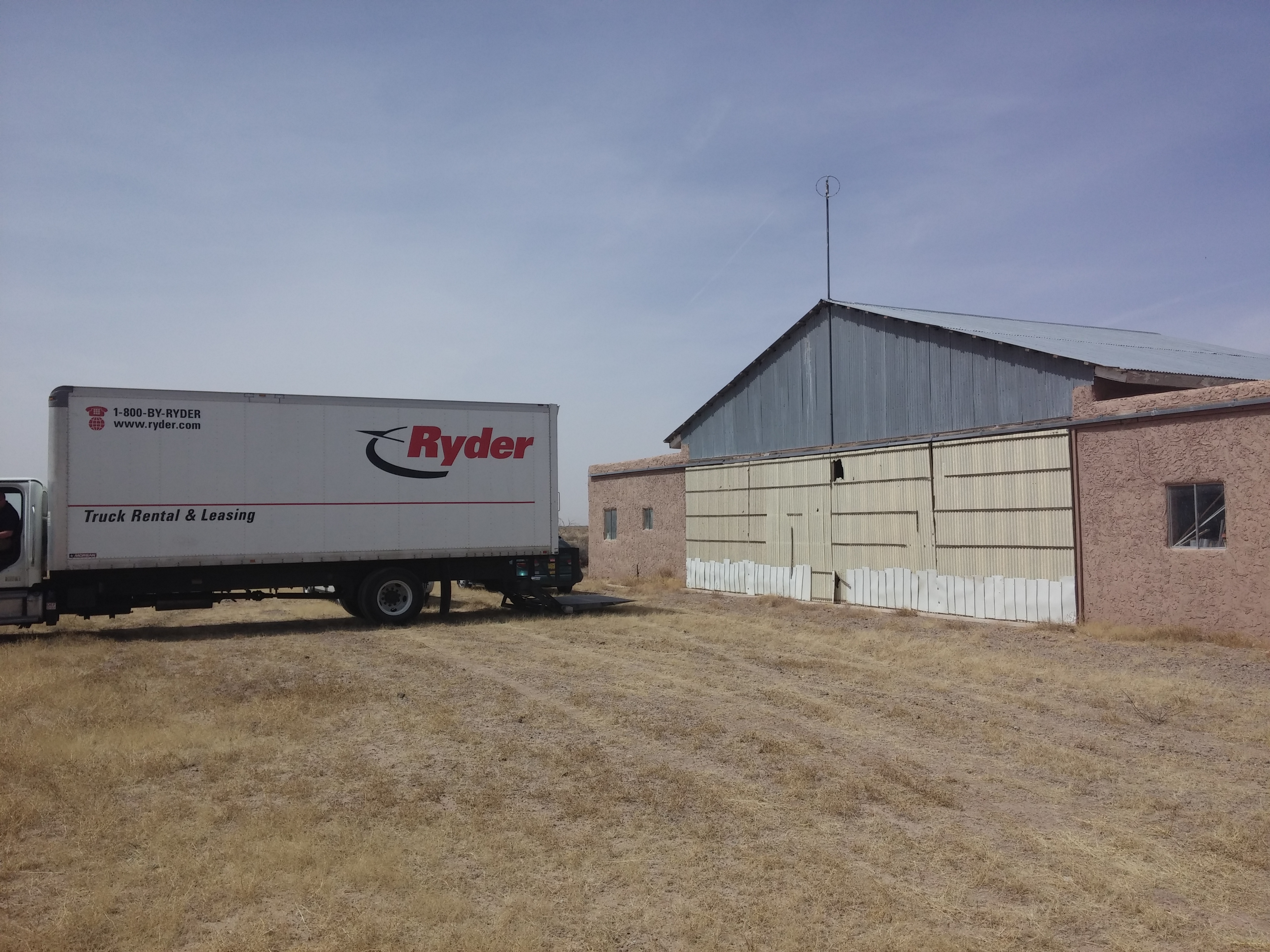
CAM00432.jpg
CAM00431.jpg

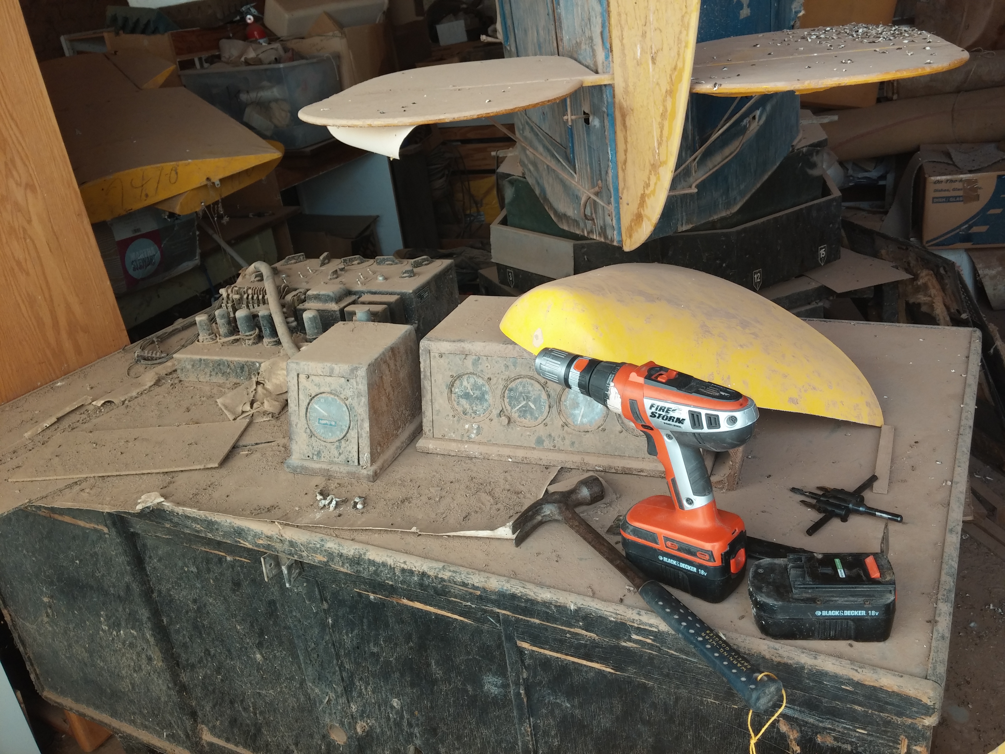
CAM00430.jpg
CAM00427.jpg
CAM00422.jpg
CAM00421.jpg
CAM00420.jpg
CAM00418.jpg
CAM00417.jpg
CAM00416.jpg
CAM00415.jpg

CAM00414.jpg

CAM00413.jpg
CAM00419.jpg

CAM00421.jpg

Cake Or Death?

Airborne wired radar
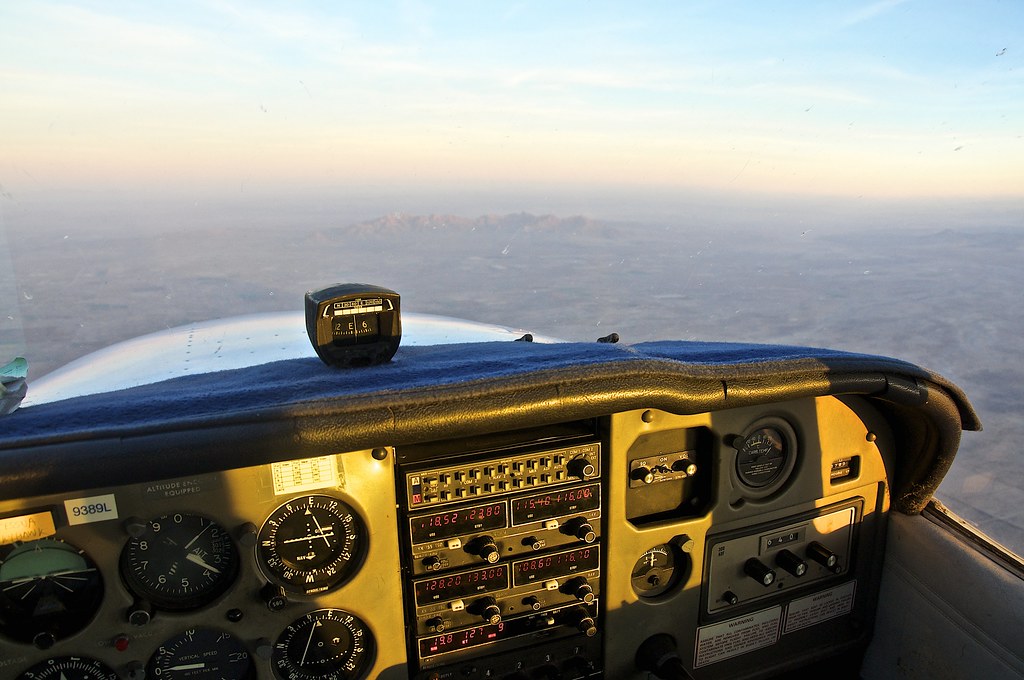
Flying really high
Topographic Map of Camino Doce SW, Deming, NM, USA
Find elevation by address:

Places near Camino Doce SW, Deming, NM, USA:
17665 Montezuma Rd Se
3014 S Belen St
12330 Dwyer Rd
Deming
La Vega Road Southeast & Coyote Road Southeast
421 S Gold Ave
Big Pocket-florida Mountains Area
Bandido Road Northwest
8045 Gap Rd
10050 Gap Rd Se
5025 Racetrack Rd
Deming
Luna County
Geronio Road & Hondale Road
Lewis Flats
Cangion Road
Interstate 10
Interstate 10
Afton
Zia Boulevard
Recent Searches:
- Elevation of Chesaw Rd, Oroville, WA, USA
- Elevation of N, Mt Pleasant, UT, USA
- Elevation of 6 Rue Jules Ferry, Beausoleil, France
- Elevation of Sattva Horizon, 4JC6+G9P, Vinayak Nagar, Kattigenahalli, Bengaluru, Karnataka, India
- Elevation of Great Brook Sports, Gold Star Hwy, Groton, CT, USA
- Elevation of 10 Mountain Laurels Dr, Nashua, NH, USA
- Elevation of 16 Gilboa Ln, Nashua, NH, USA
- Elevation of Laurel Rd, Townsend, TN, USA
- Elevation of 3 Nestling Wood Dr, Long Valley, NJ, USA
- Elevation of Ilungu, Tanzania