Elevation of Camino De La Cruz, Cave Creek, AZ, USA
Location: United States > Arizona > Maricopa County > Cave Creek >
Longitude: -111.95448
Latitude: 33.8657318
Elevation: 676m / 2218feet
Barometric Pressure: 93KPa
Elevation Map:
Satellite Map:
Related Photos:
371. View from atop Quien Sabe summit centered on Black Mountain in the distance

Pink Snow Cactus

Zebra-tailed Lizard

The evening view from Black Mountain.

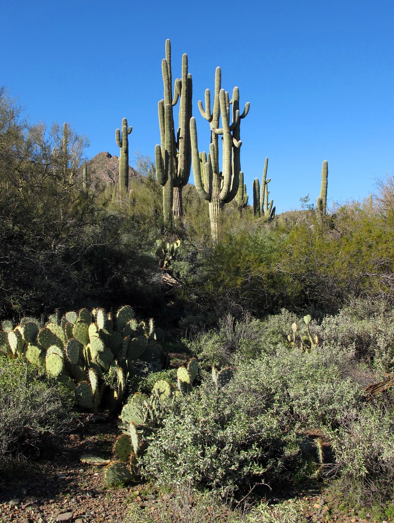
Land of the Giants

Cool Retro Diner Arrow Sign: Big Earl's Greasy Eats, Cave Creek, Close-up, West View

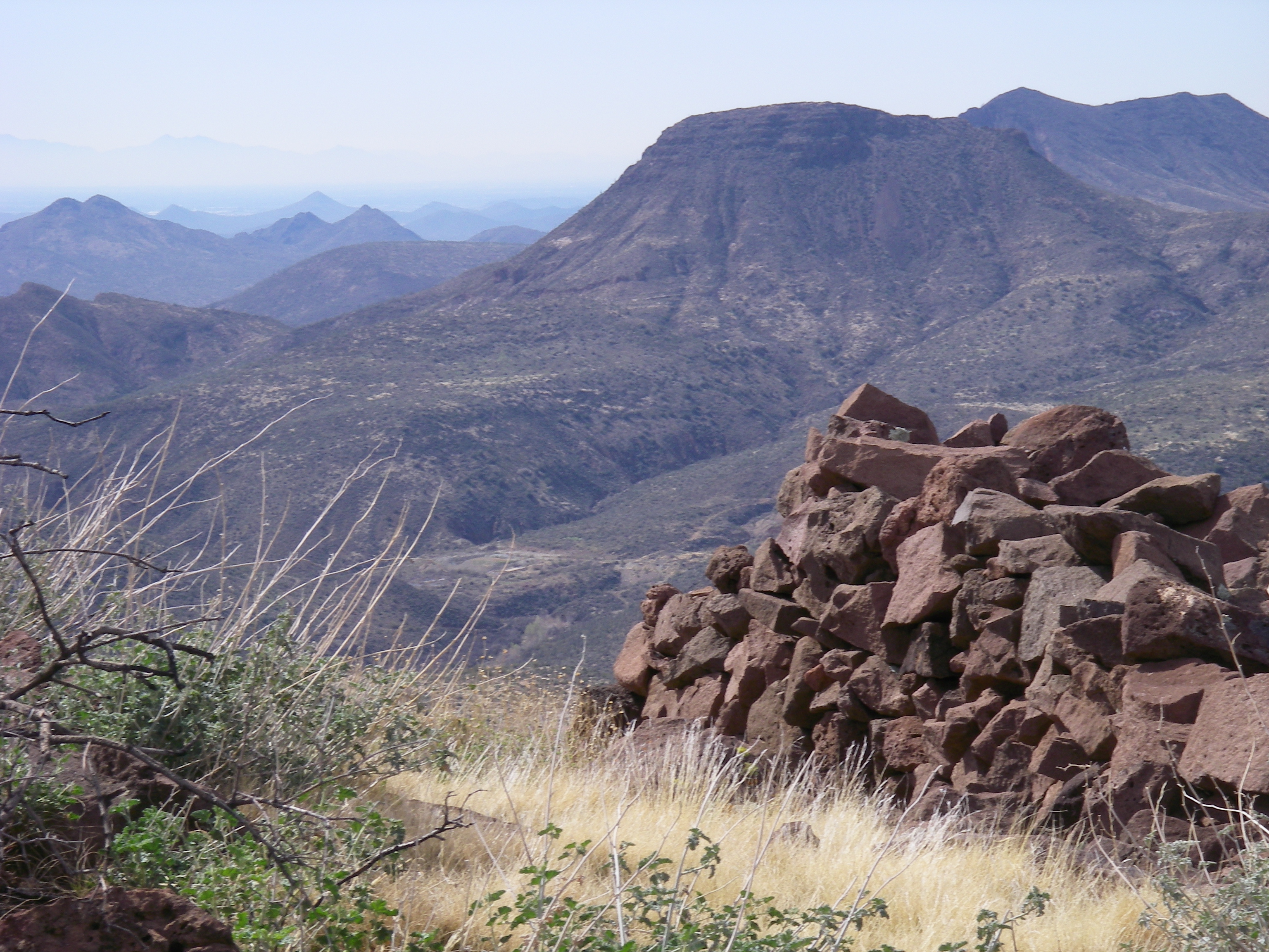
470. Panoramic view from hilltop west of old stone ruin along FR 468
Desert Horizons

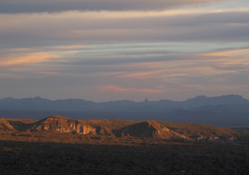
Elephant Mountain Sunrise

View to southwest approaching Black Mesa - Spur Cross
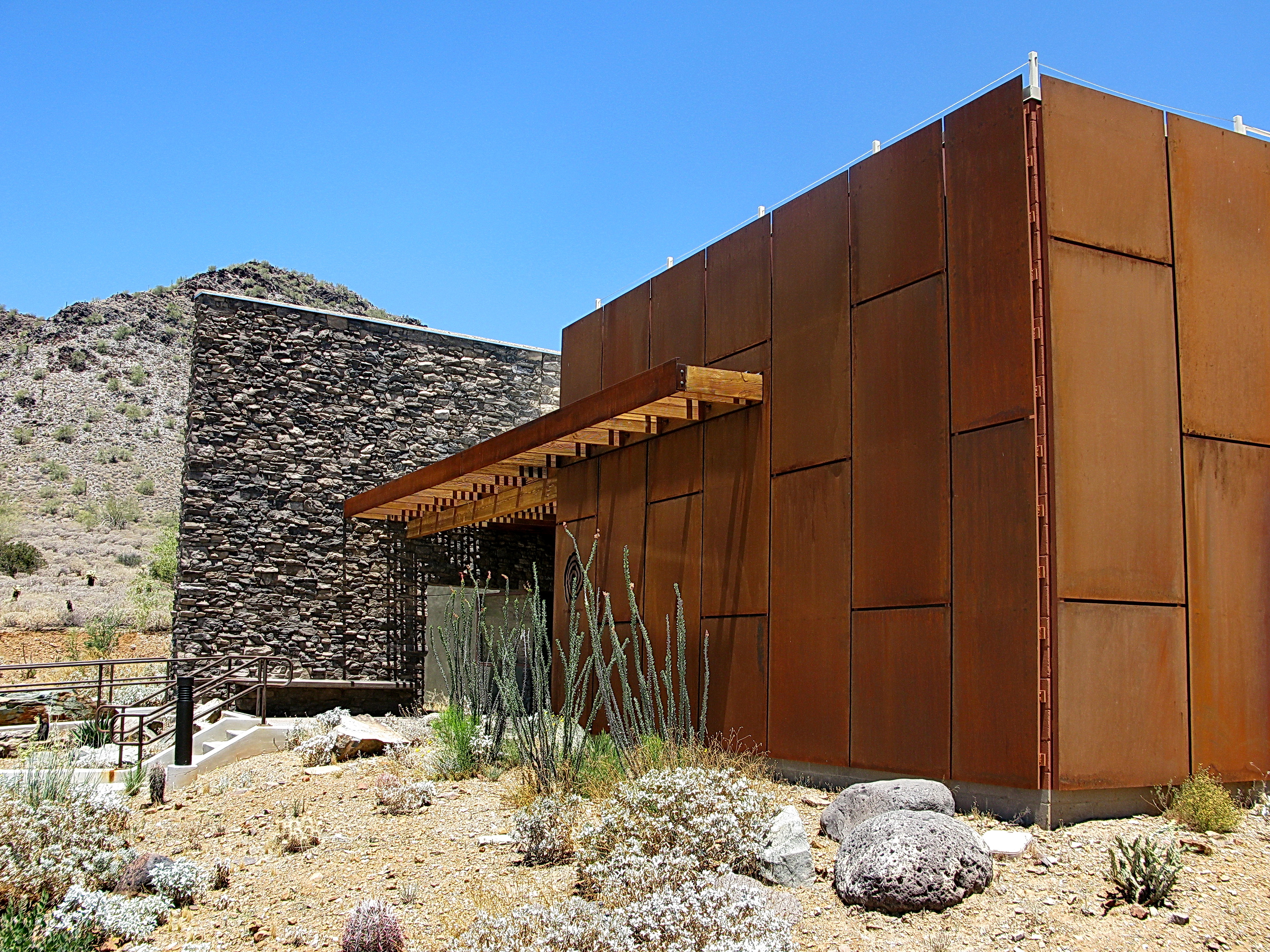
Cave Creek Recreation Area Nature Center

Cool Retro AZ Diner Sign: Big Earl's Greasy Eats, Cave Creek, View to the East
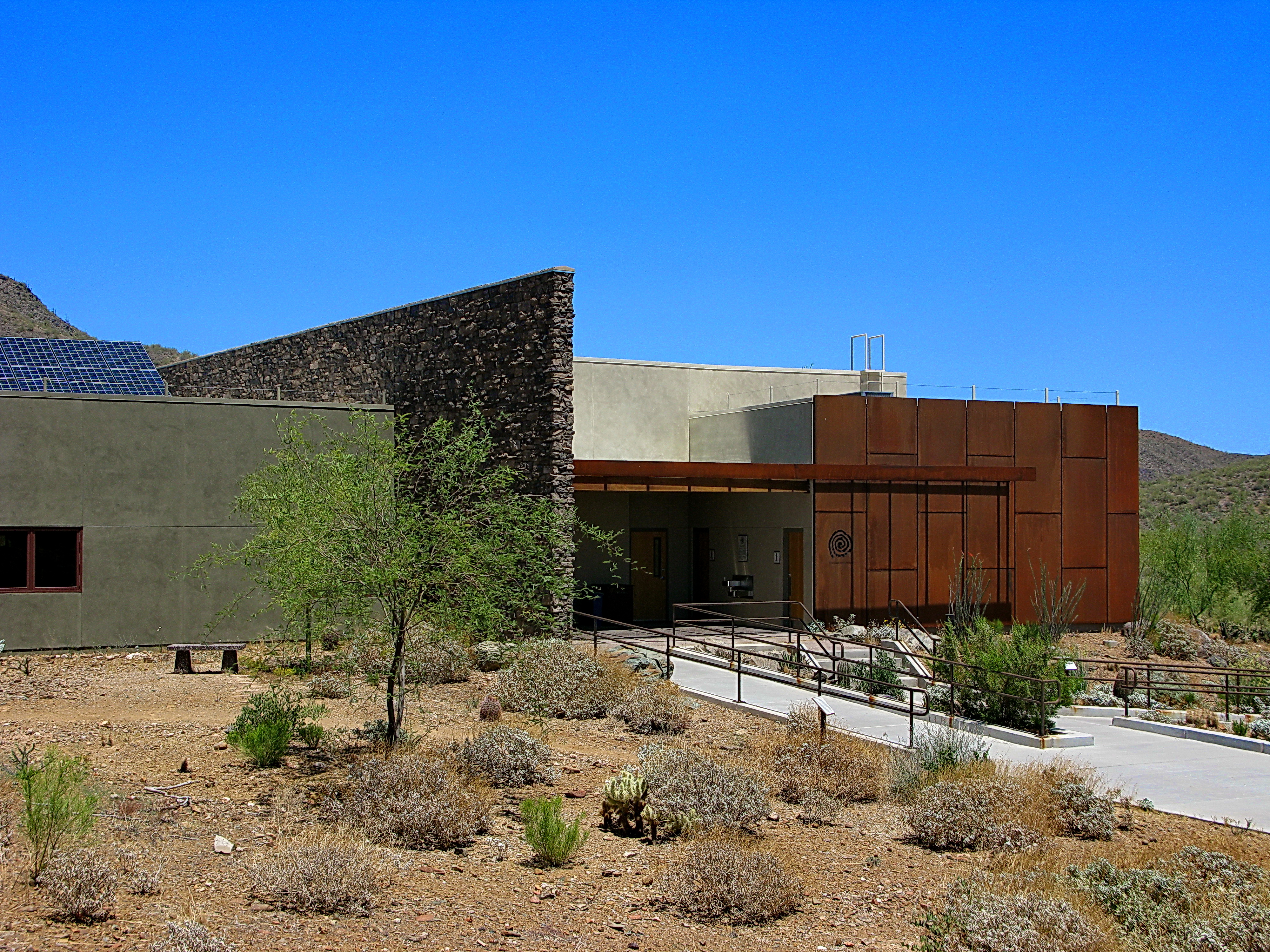
Cave Creek Recreation Area Nature Center

36. View toward McDowell Mountains from Double D Ranch Mine
Desert Green Scene

Harmony Hollow Ranch - whimsical fence - Cave Creek
View from the Skull Mesa Fort

Sugarloaf Mountain and Skull Mesa from Black Mesa Trail - Spur Cross

Concorso Arizona 2009
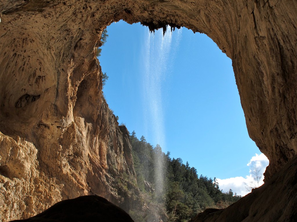
39. A landscape view looking south from underneath the Tonto Natural Bridge

Sears-Kay Ruins - Tonto National Forest
Welcome to Arizona. Here's a (tone)Map of the Area!

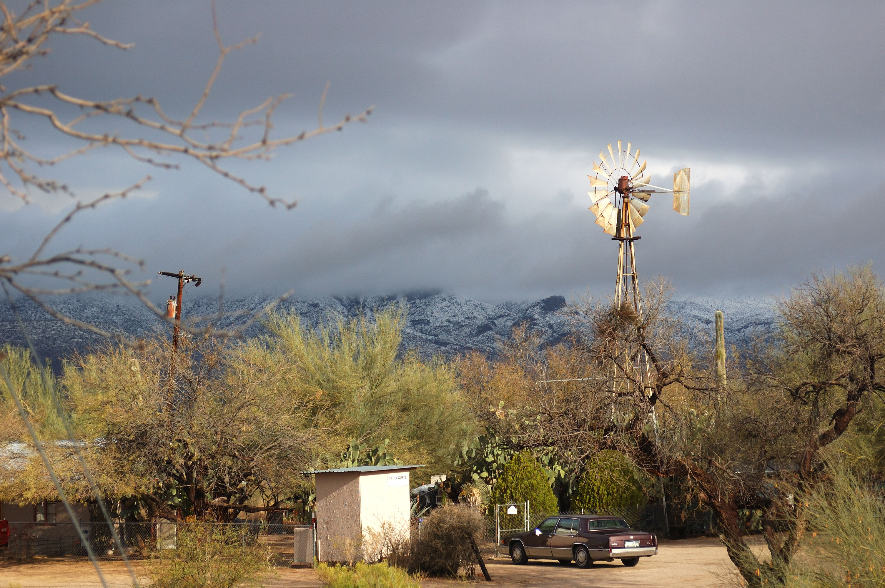
Arizona snow

Sunset 4.7.13
Geronimo Golf
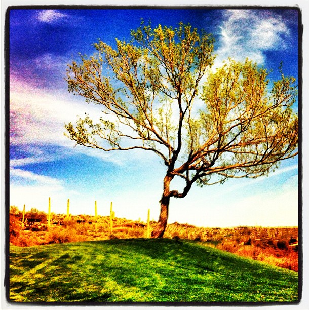
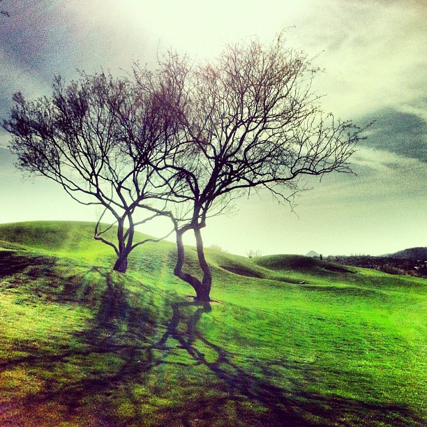
Tree on Geronimo

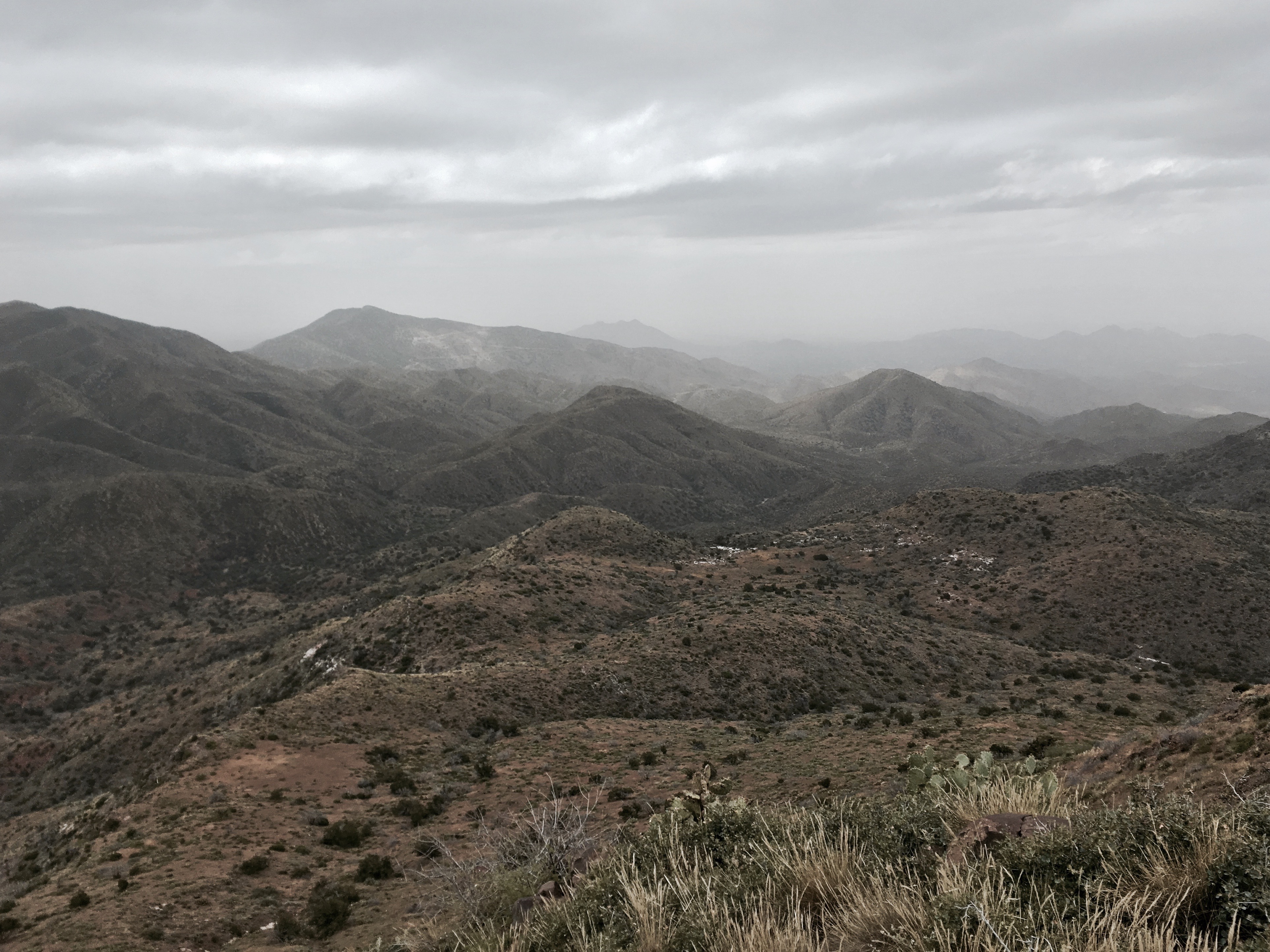
372. Panorama of distant mountaintop landmarks as seen from summit of Quien Sabe
farewell cave creek
411. New River Mountains and Grapevine Mesa as seen from south of FR 3193
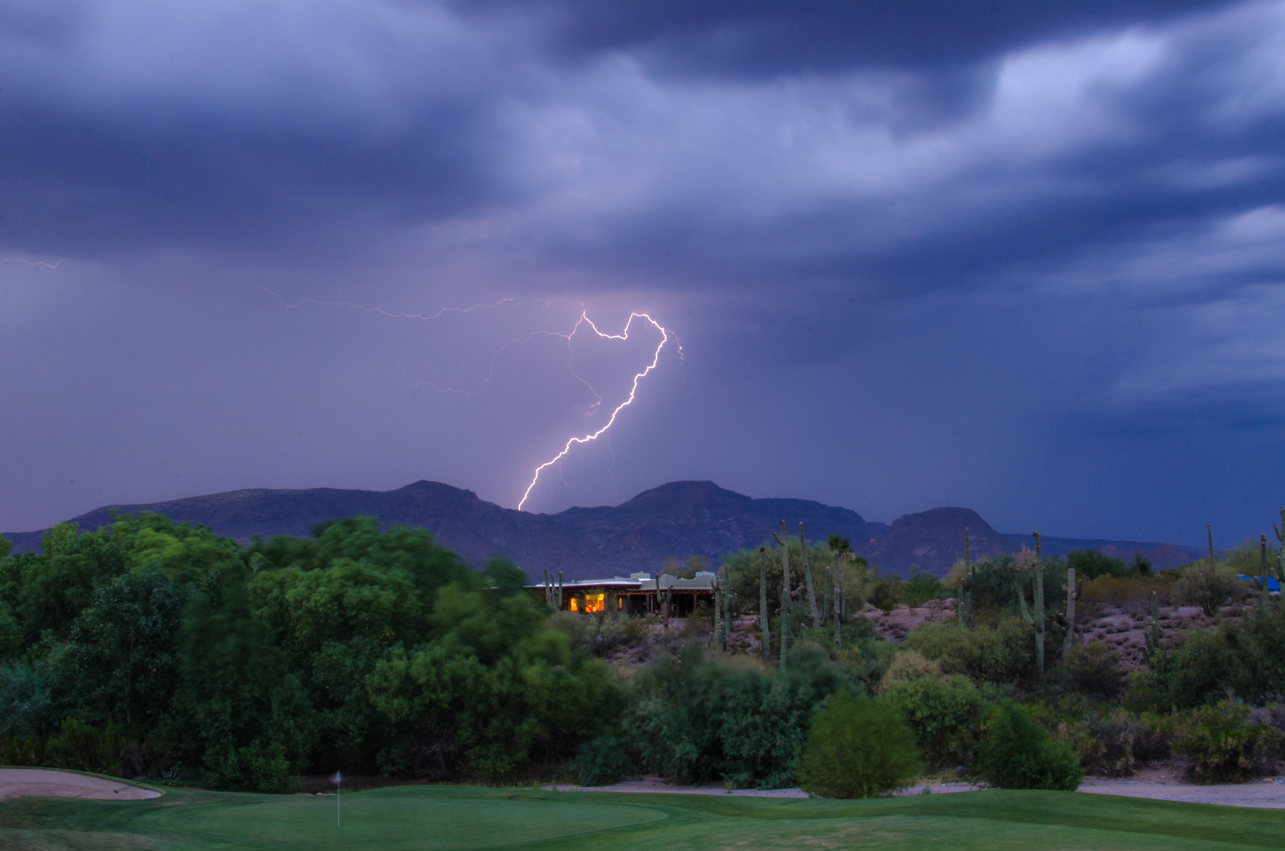
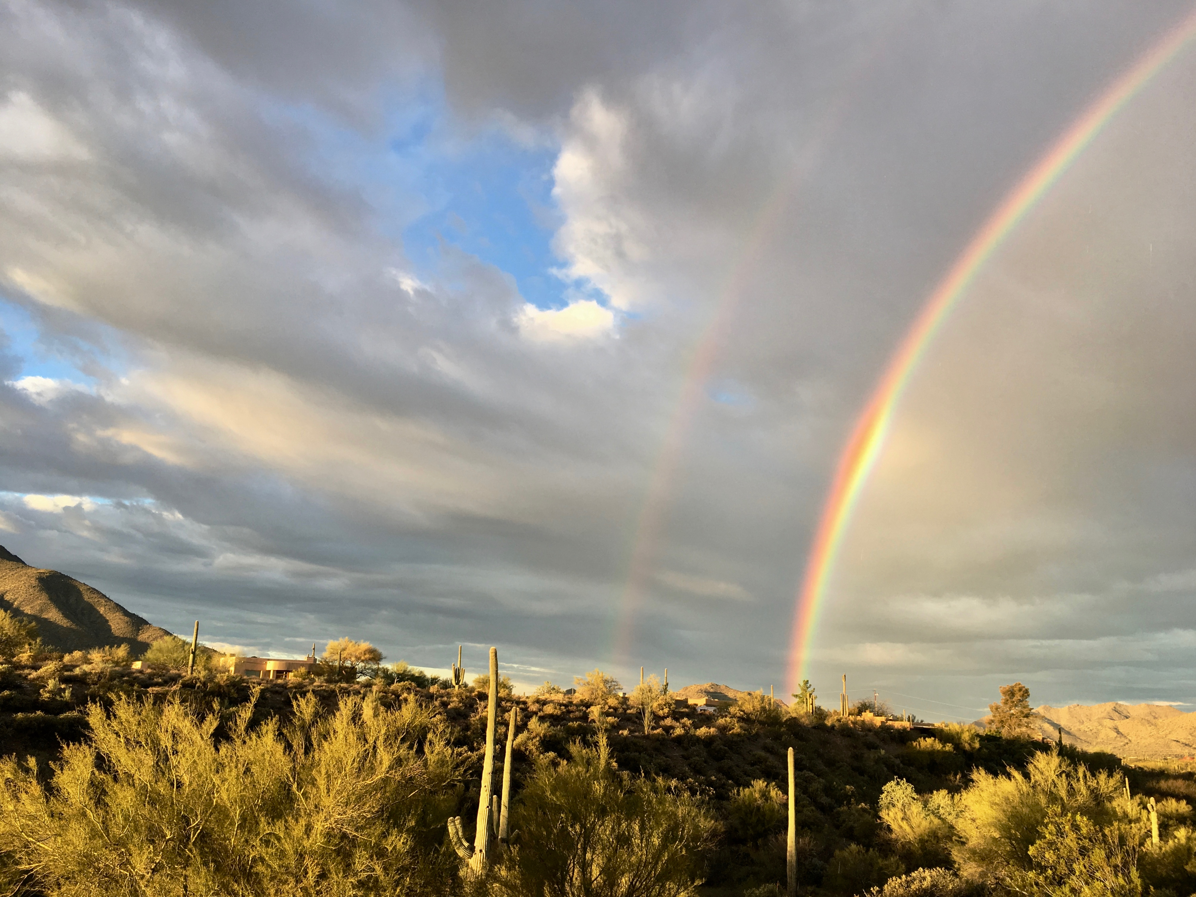
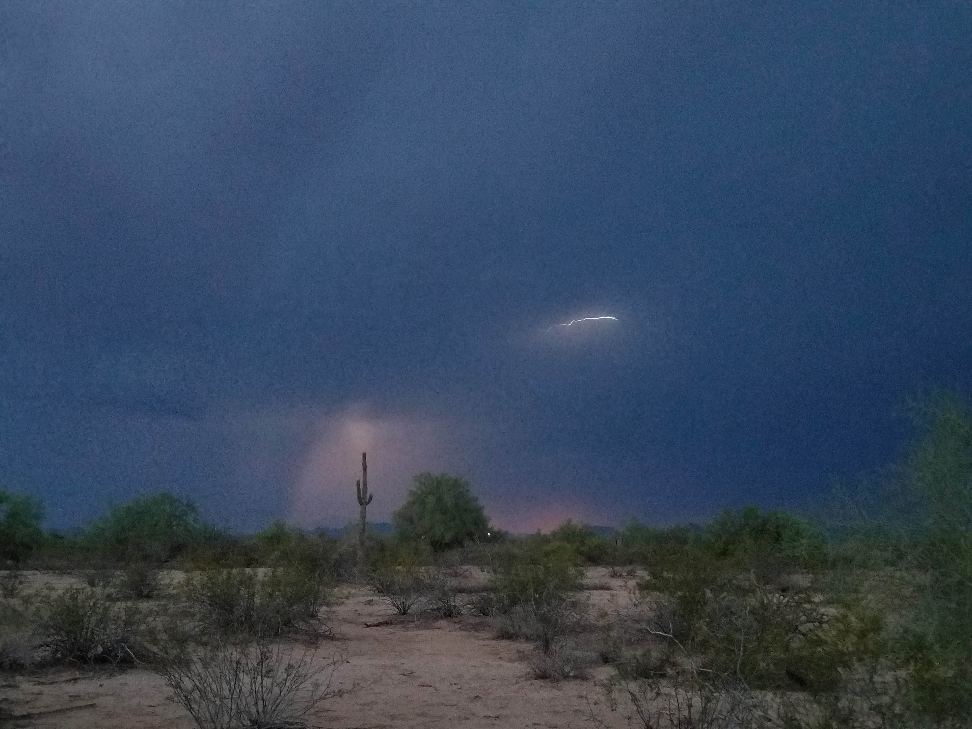
Lightning from Cave Creek
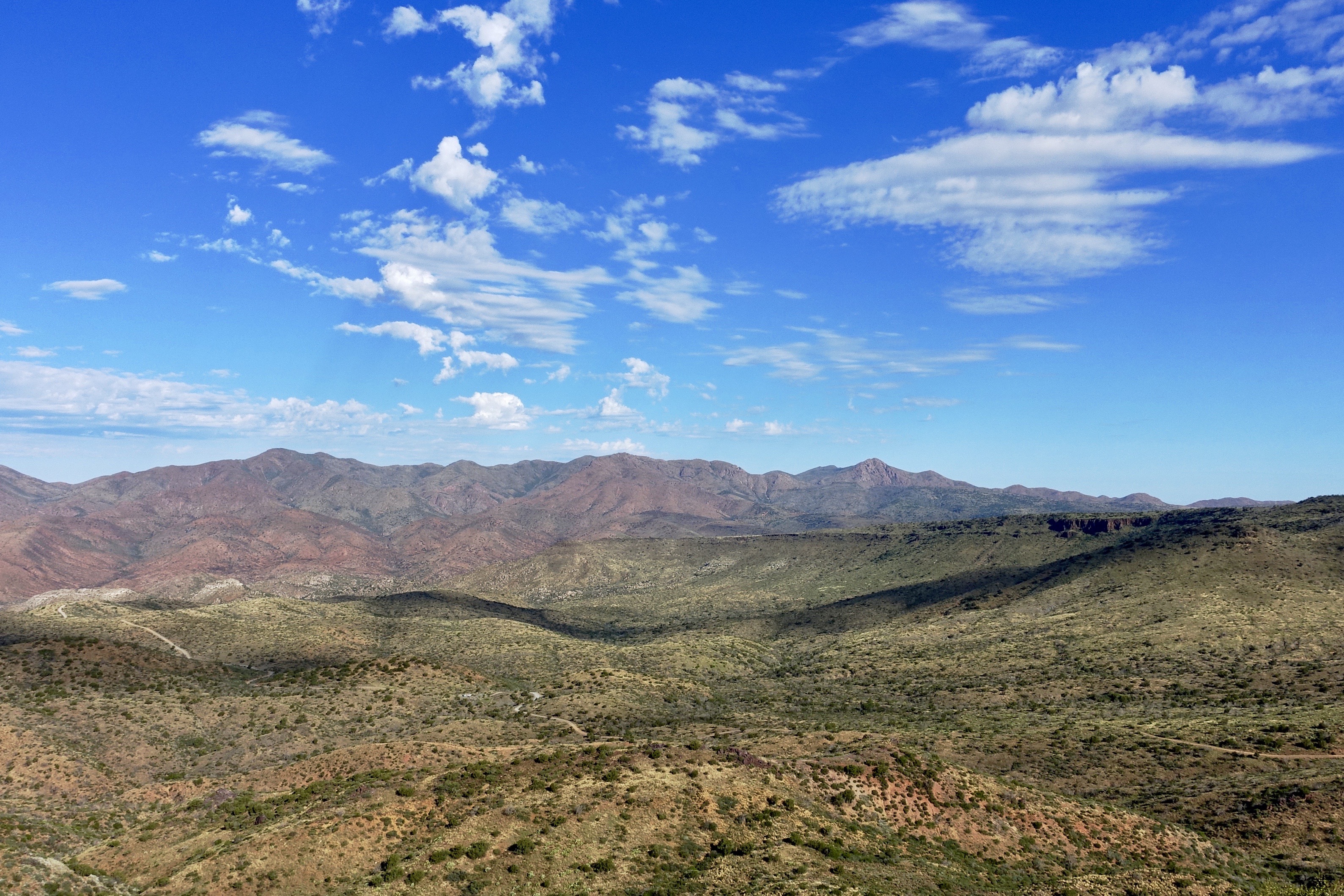
Arizona country scene

Sunrise from Lone Mountain
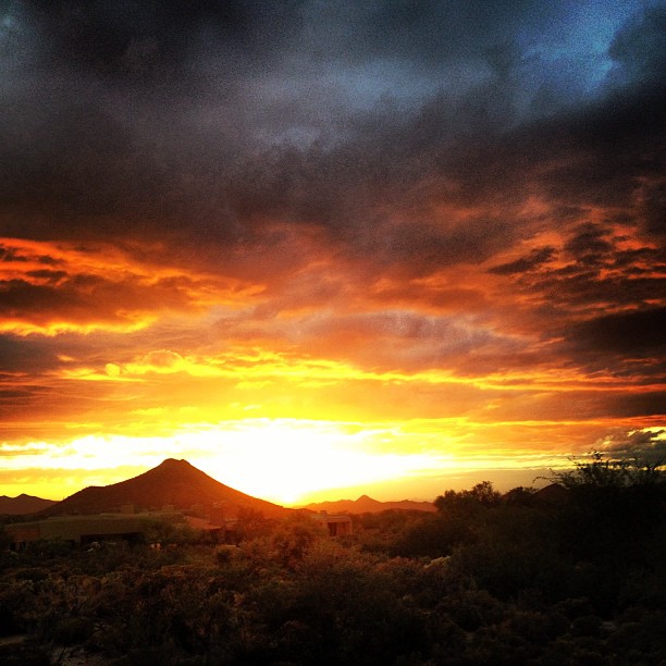
Sky on fire.
2018-07-28_08-12-47
413. Heading up to the unnamed local peak south of FR 3193

476. Skull Mesa - Sugarloaf Mountain - Elephant Mountain - Black Mesa
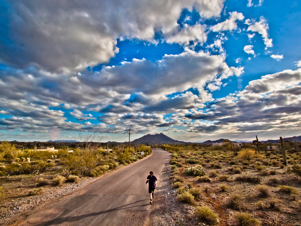
following the path
Topographic Map of Camino De La Cruz, Cave Creek, AZ, USA
Find elevation by address:

Places near Camino De La Cruz, Cave Creek, AZ, USA:
5853 E Mountain Reserve Dr
5925 E Hidden Springs Rd
41840 N Spur Cross Rd
Red Dog Ranch
North Spur Cross Road
North Spur Cross Road
North Desert Winds Drive
5425 E Morning Star Rd
5180 E Rockaway Hills Dr
Mesquite Ranch
North 50th Street
North Schoolhouse Road
42402 N Fleming Springs Rd
5670 E Ocotillo Rd
Cave Creek, AZ, USA
44200 N Cottonwood Canyon Rd
East Cahava Ranch Road
38446 N Spur Cross Rd
44404 N Spur Cross Rd
Mountain View
Recent Searches:
- Elevation of Rojo Ct, Atascadero, CA, USA
- Elevation of Flagstaff Drive, Flagstaff Dr, North Carolina, USA
- Elevation of Avery Ln, Lakeland, FL, USA
- Elevation of Woolwine, VA, USA
- Elevation of Lumagwas Diversified Farmers Multi-Purpose Cooperative, Lumagwas, Adtuyon, RV32+MH7, Pangantucan, Bukidnon, Philippines
- Elevation of Homestead Ridge, New Braunfels, TX, USA
- Elevation of Orchard Road, Orchard Rd, Marlborough, NY, USA
- Elevation of 12 Hutchinson Woods Dr, Fletcher, NC, USA
- Elevation of Holloway Ave, San Francisco, CA, USA
- Elevation of Norfolk, NY, USA