Elevation of Calumet Industries, Rte 66, Calumet, OK, USA
Location: United States > Oklahoma > Canadian County > Calumet >
Longitude: -98.107795
Latitude: 35.5359917
Elevation: 454m / 1489feet
Barometric Pressure: 96KPa
Elevation Map:
Satellite Map:
Related Photos:
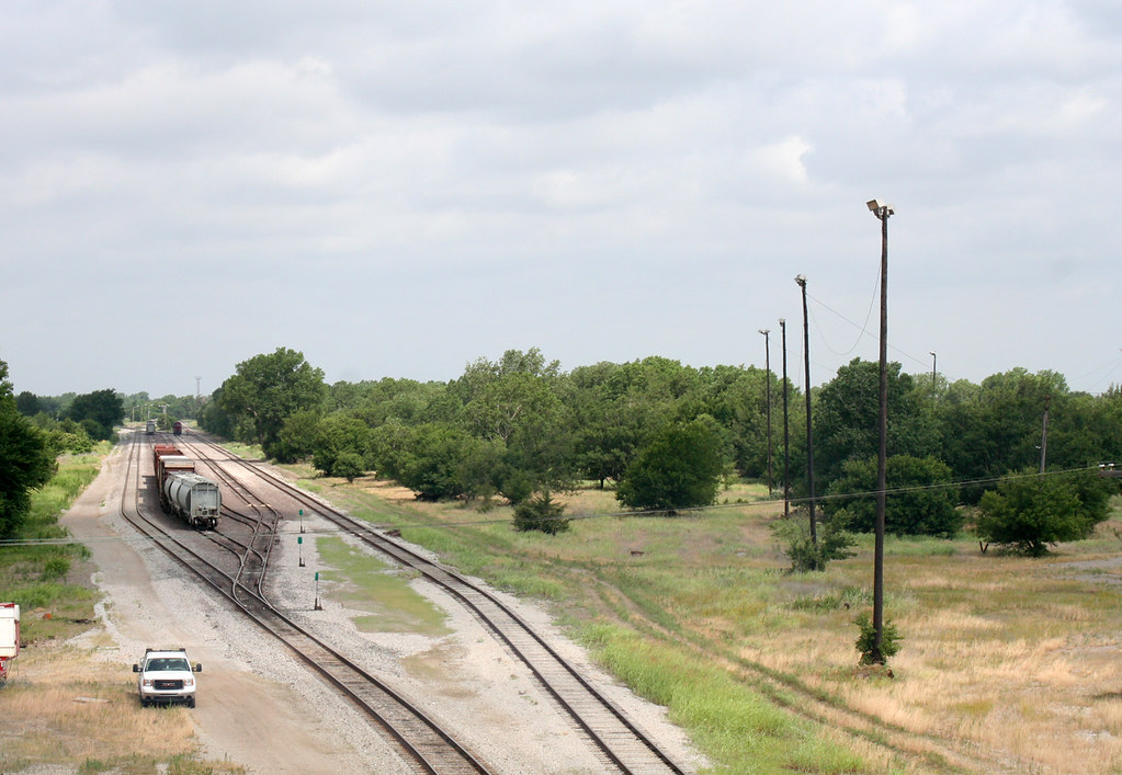
ABANDONED ROCK ISLAND YARD, EL RENO, OK 2010
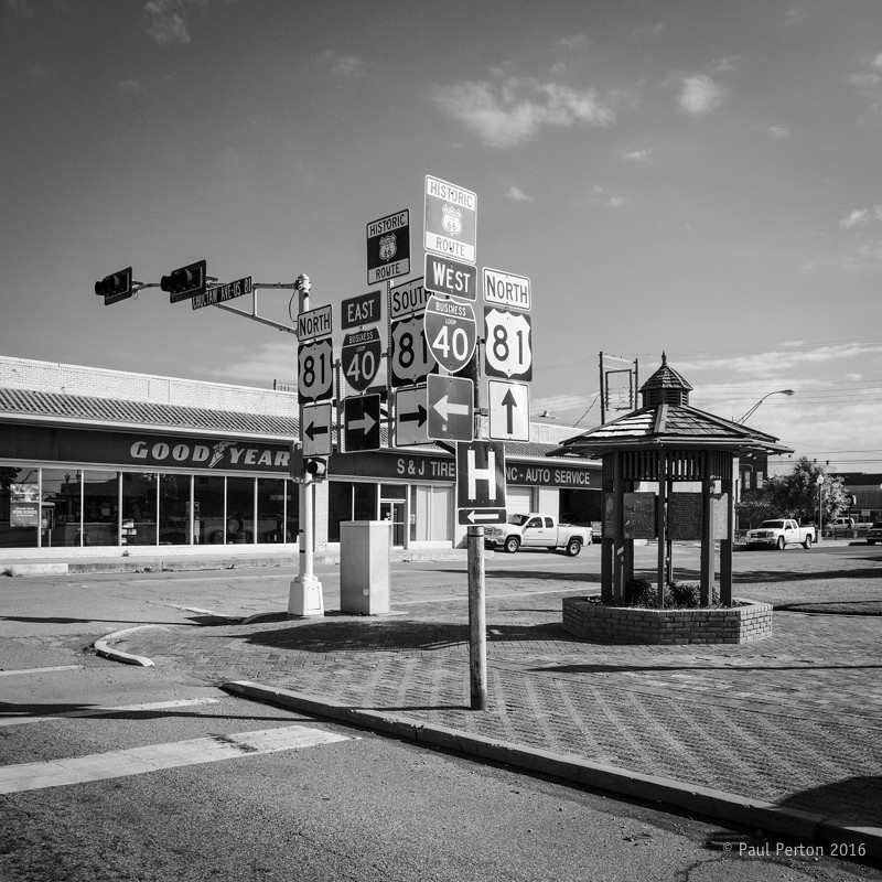
You can get there from here, El Reno OK

The Colorful Door_MG_3969

Major General Jesse Lee Reno

Major General Jesse Lee Reno

View From "The Pool"
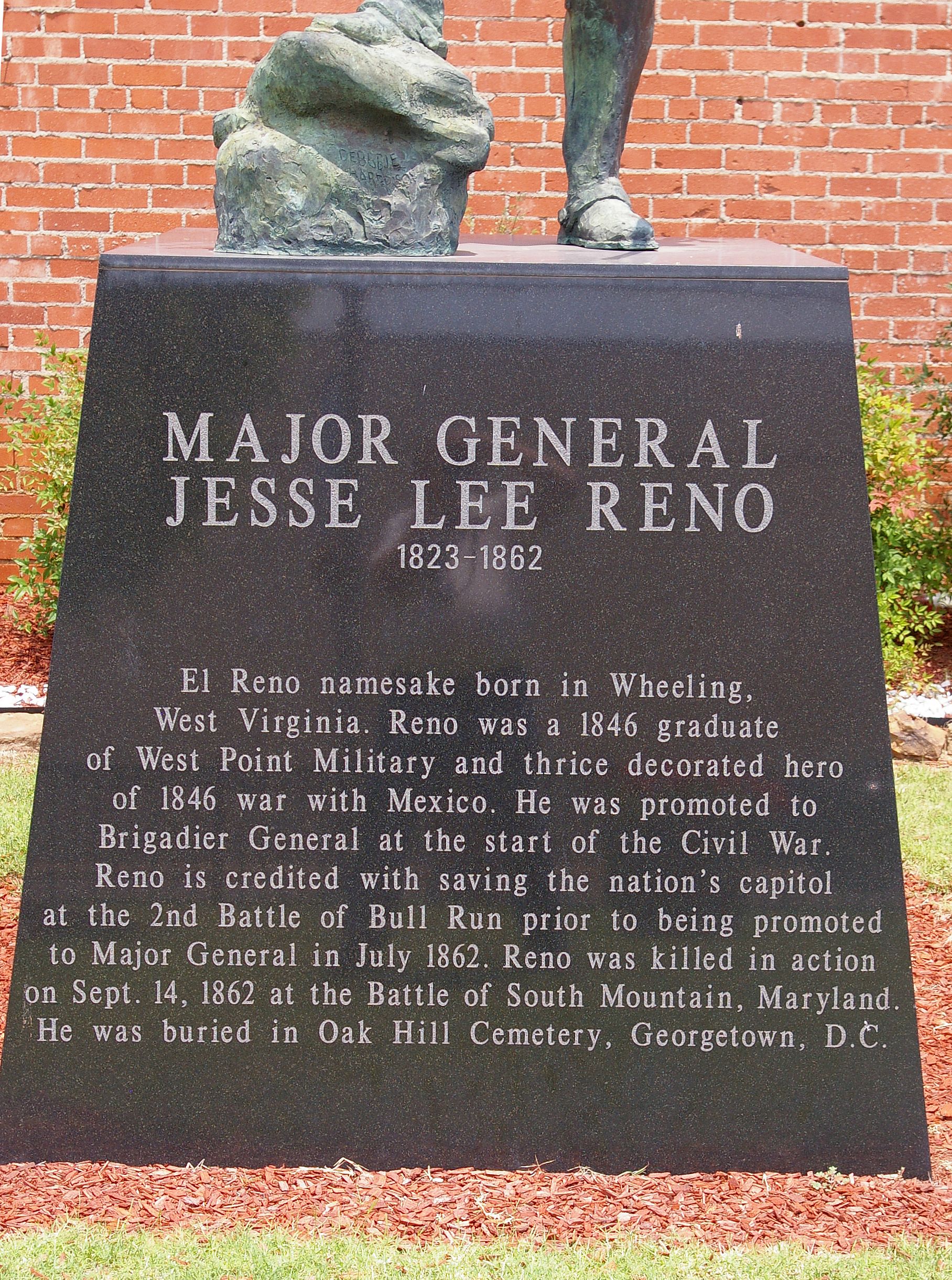
Major General Jesse Lee Reno

Steve & Connie Ostten

Austin, Todd and Ladd
IMG_2504.jpg
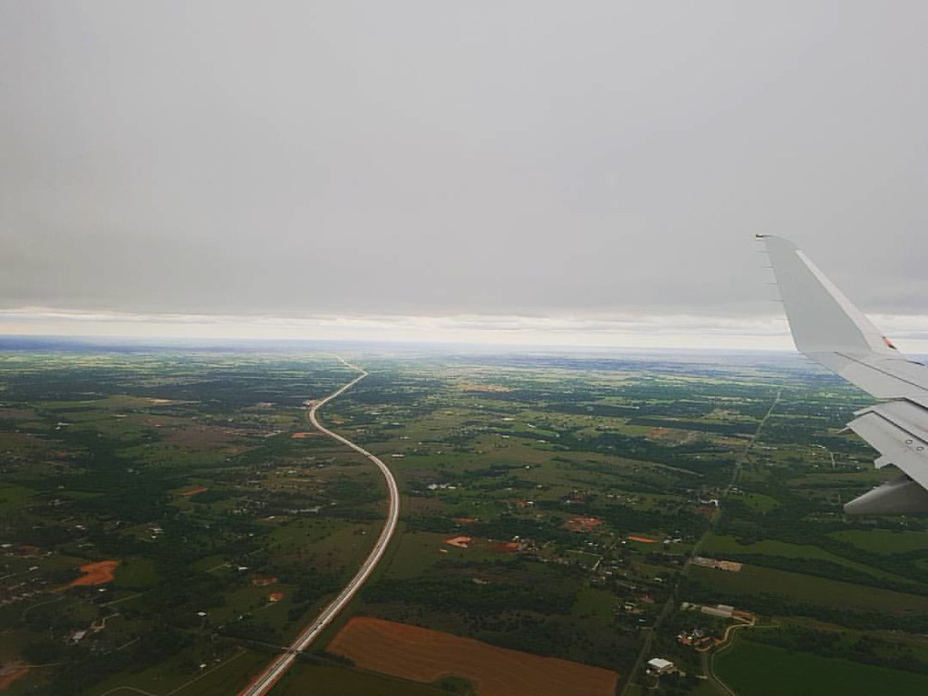
Flying into Oklahoma city under a thick cloud of grey. I noticed the green trees straight away. Unlike the smoggy landscape I had just come from in LA.
IMG_2510.jpg
IMG_2501.jpg

IMG_2485.jpg
Trees on a wide open Oklahoma plain

Head n home. Got off I-40 for the sun set and enjoyed the historic #route66 #OK #oklahoma #roadtrip #backroads #homefortheholidays

Icy Pond
Chisholm Trail Path

Steaming Out of El Reno
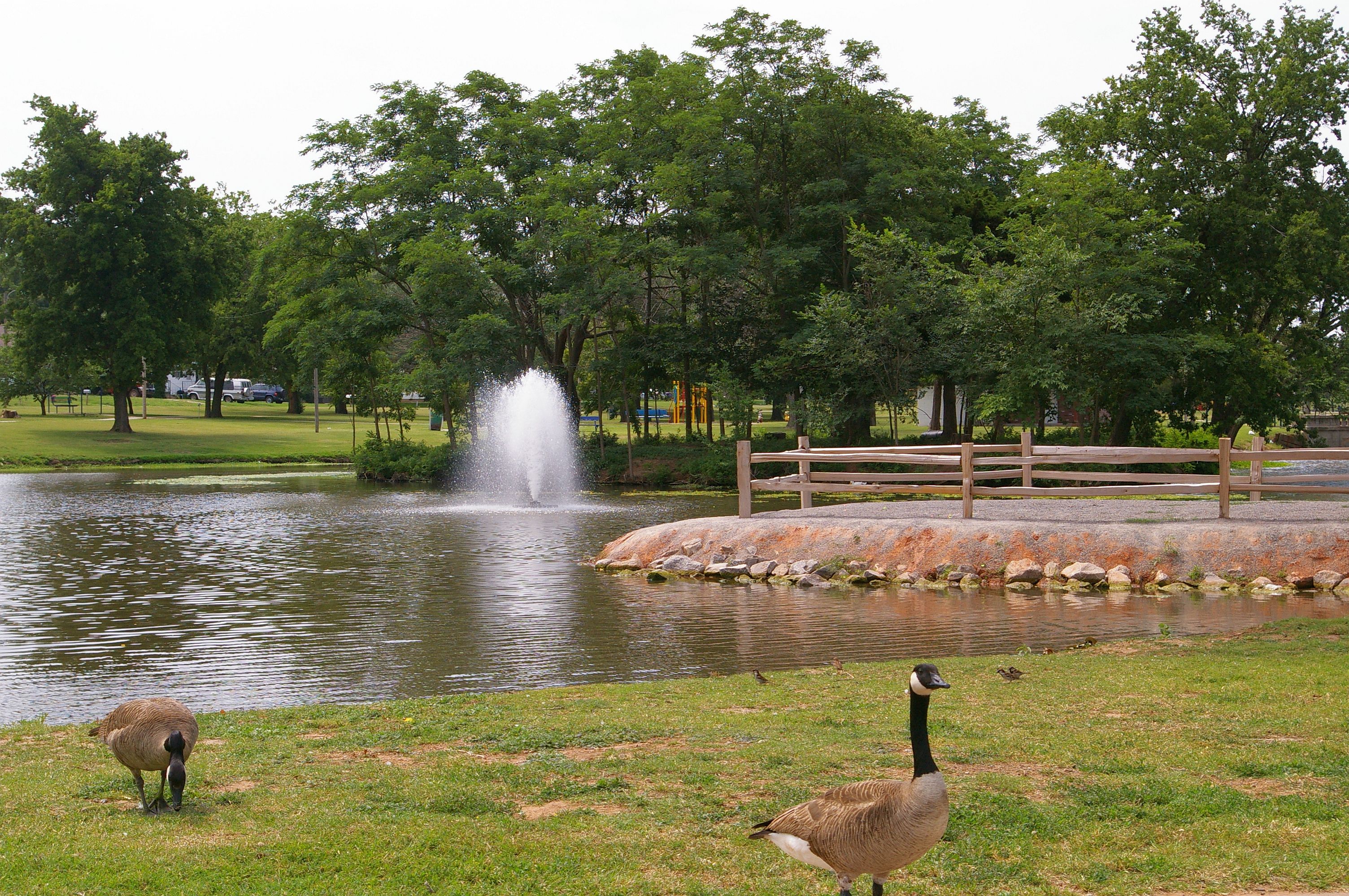
El Reno Legion Park Fountains

Run Down Barn
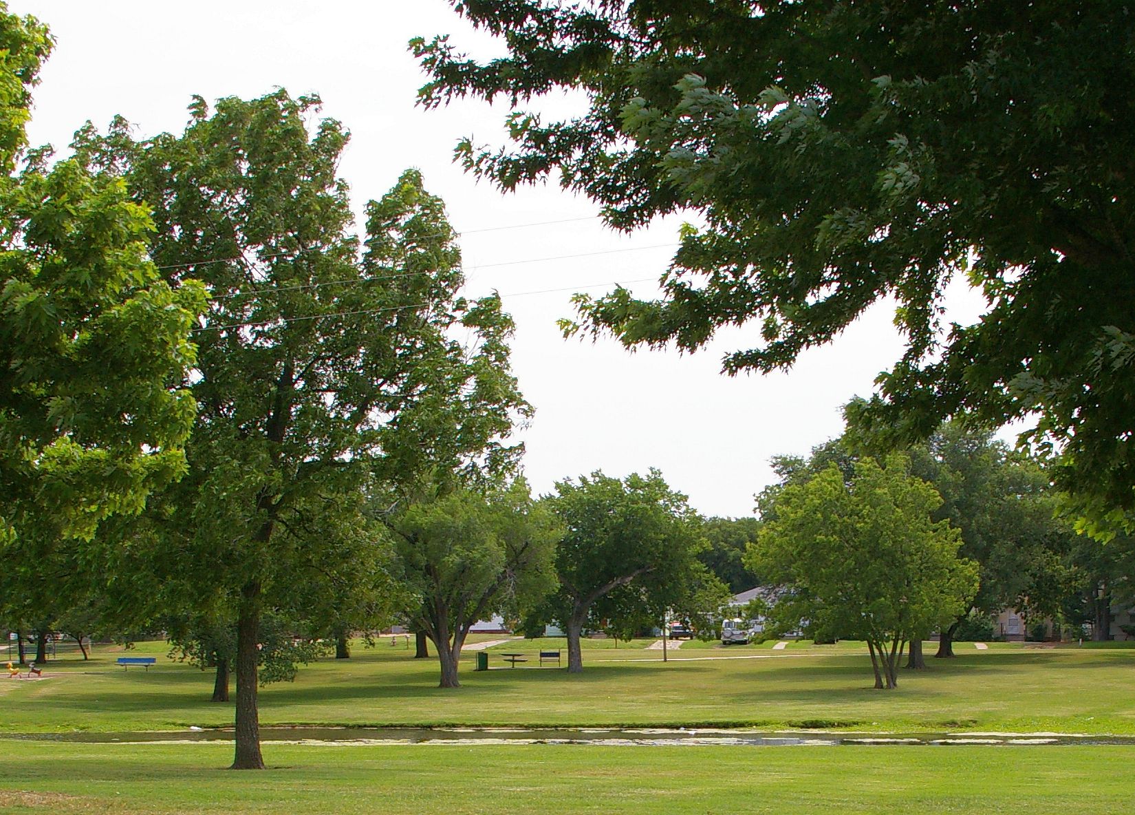
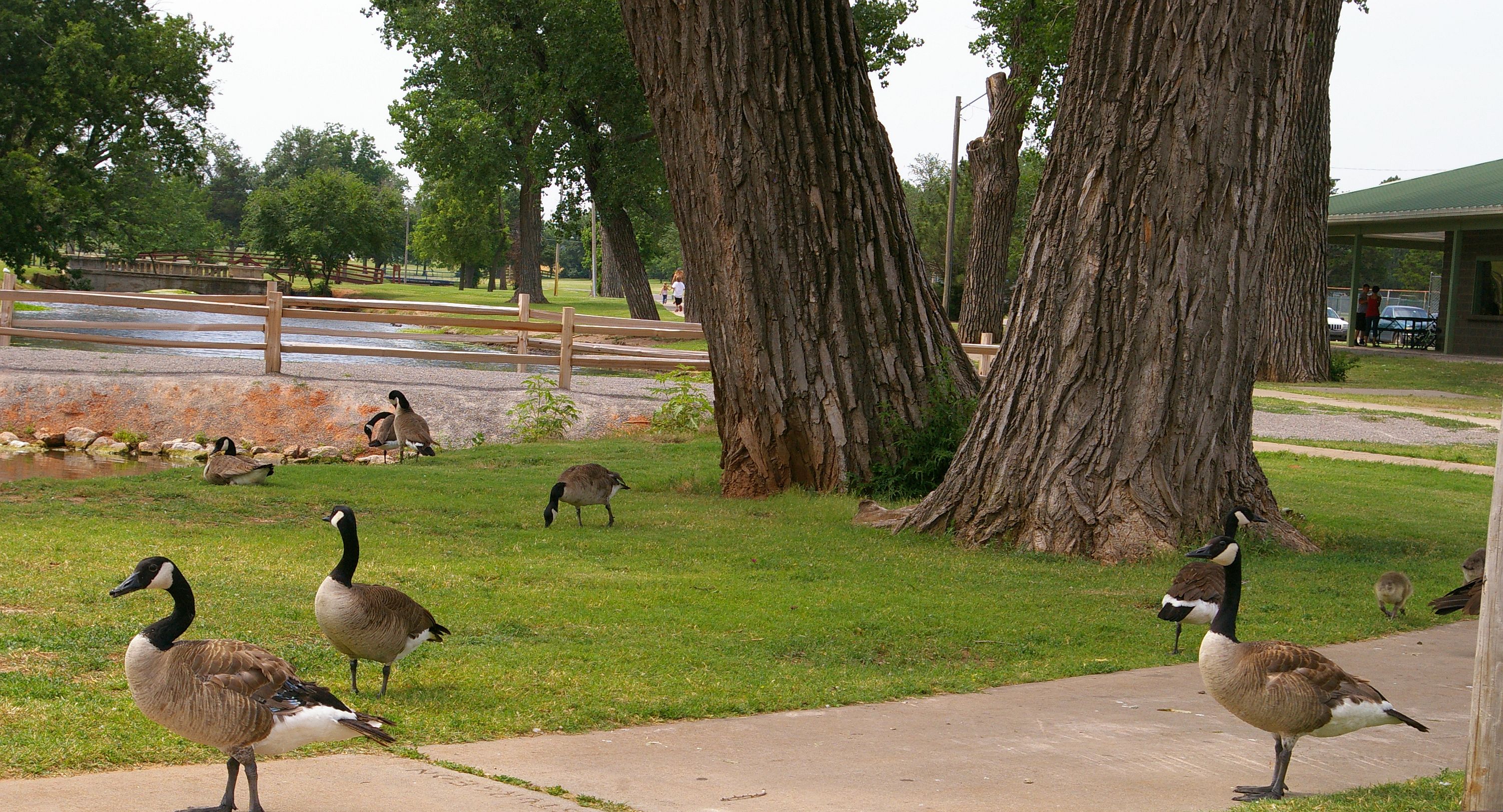
El Reno Legion Park
Spring In El Reno

El Reno, Oklahoma; LCU00079
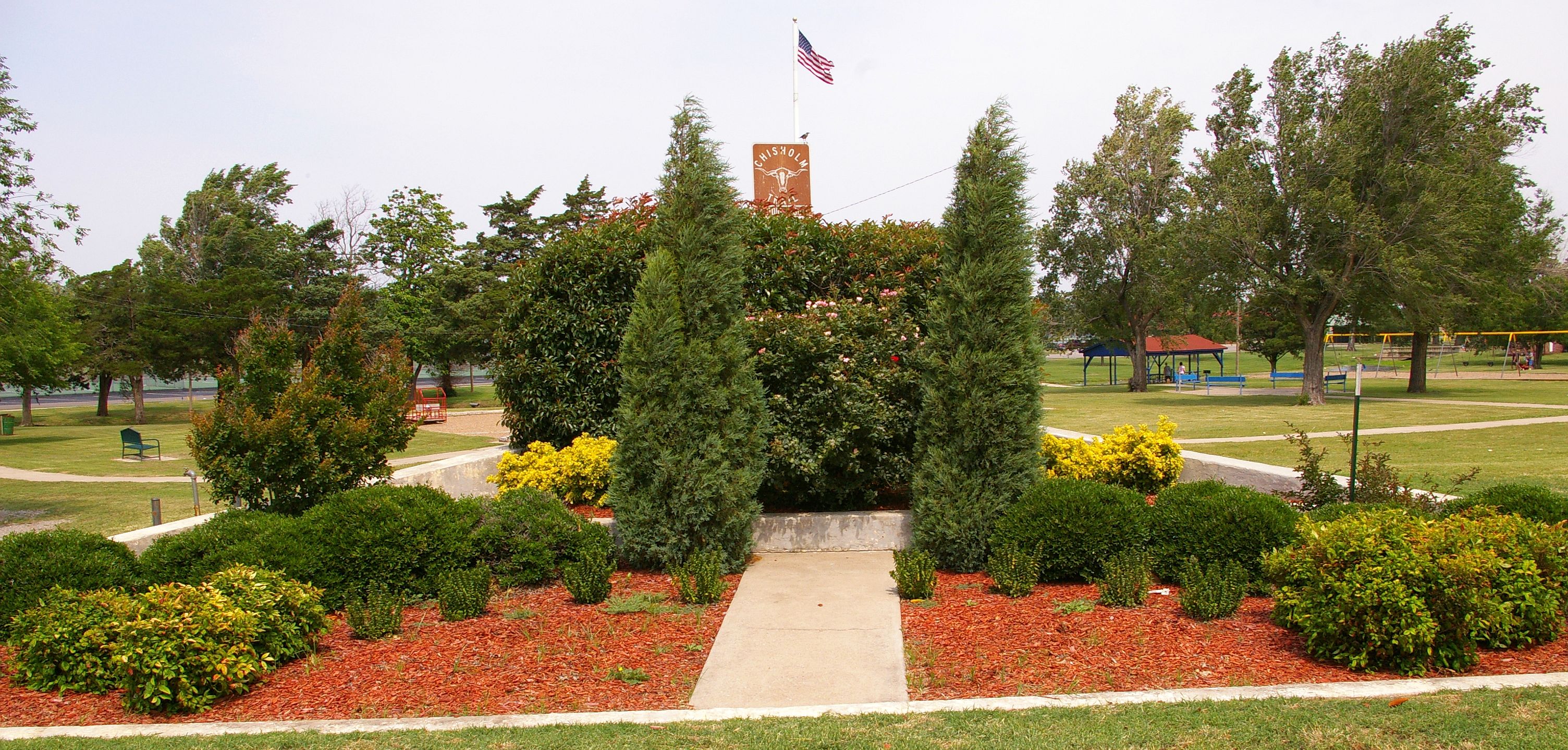
Chisholm Trail Monument
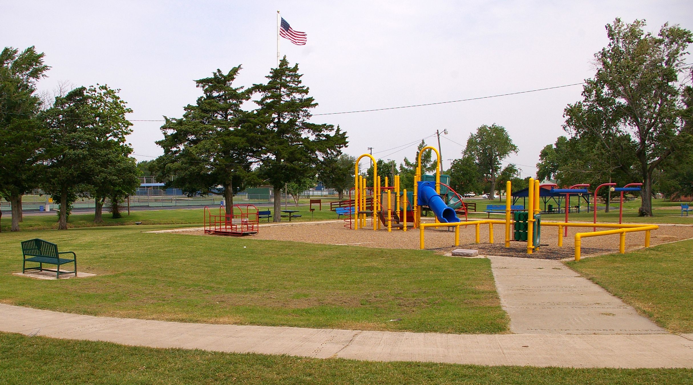
El Reno Legion Park Playground
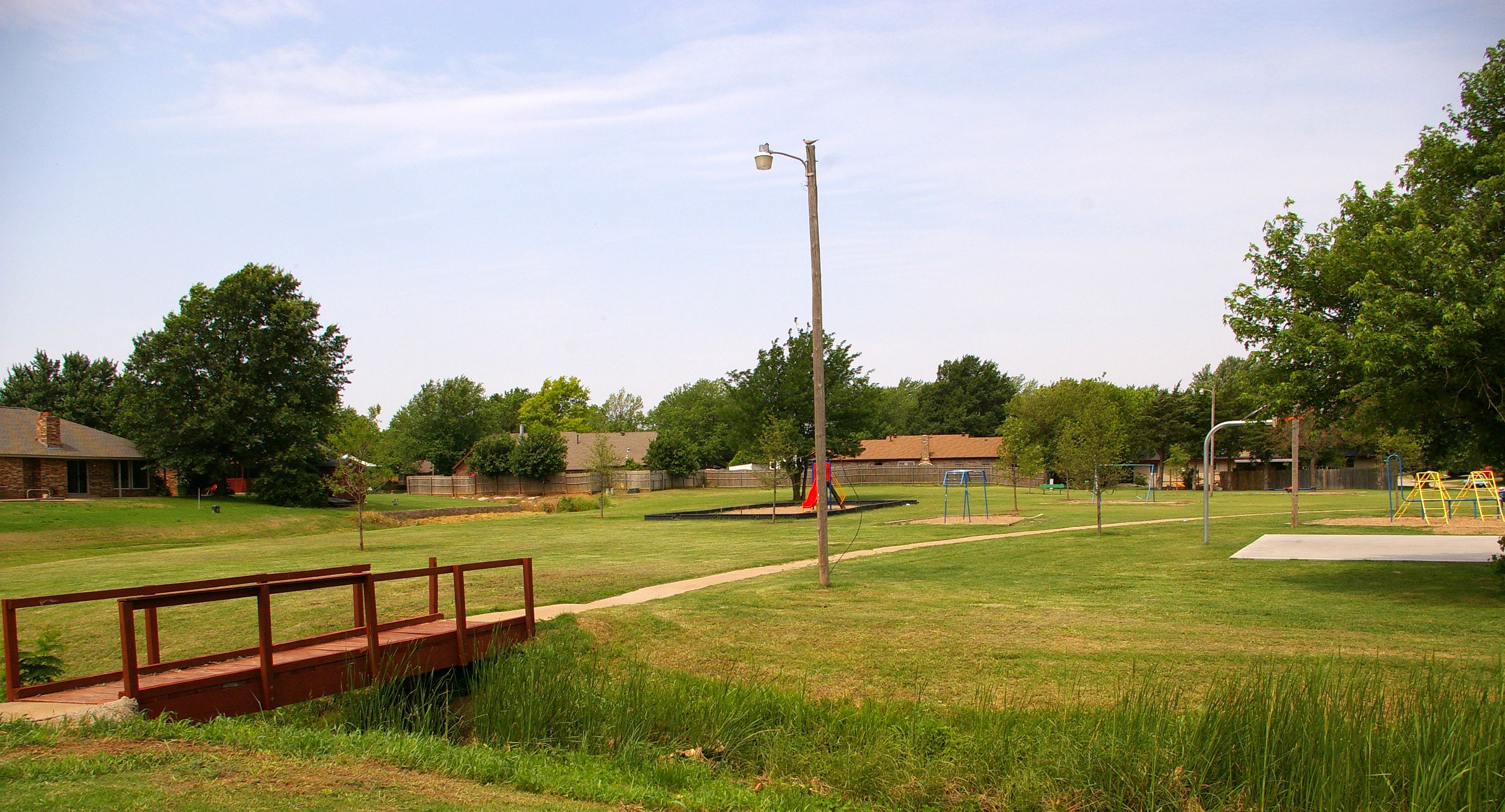
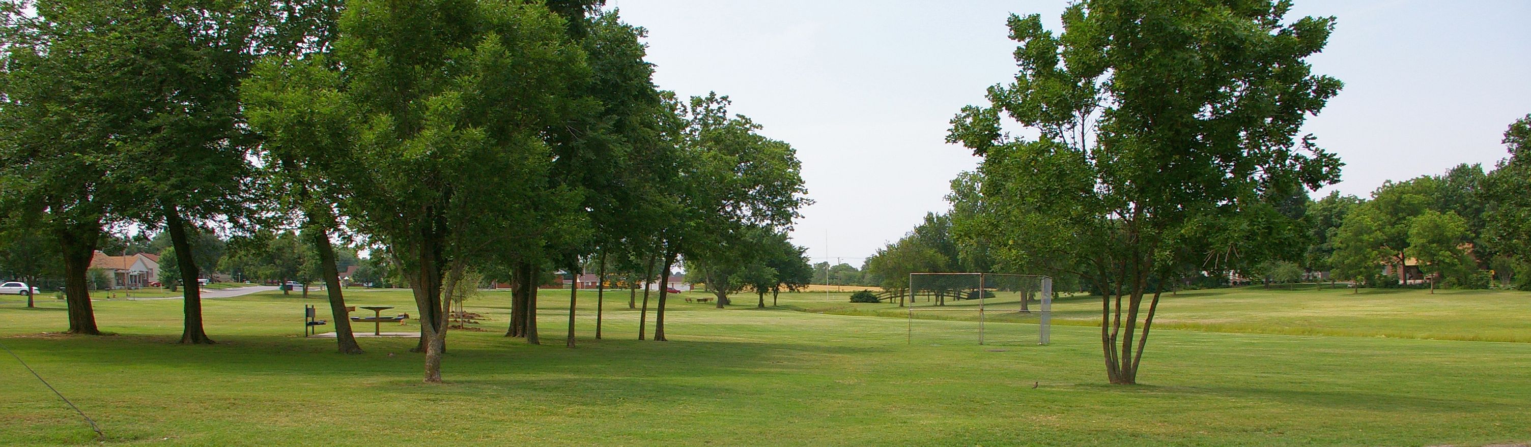
Gadberry Park, El Reno, Oklahoma

Summer Day
Topographic Map of Calumet Industries, Rte 66, Calumet, OK, USA
Find elevation by address:

Places near Calumet Industries, Rte 66, Calumet, OK, USA:
Canadian County
Canadian County
Canadian County
Canadian County
Canadian County
Canadian County
Canadian County
Canadian County
Canadian County
Canadian County
Canadian County
Canadian County
Canadian County
Canadian County
Canadian County
Canadian County
Calumet
El Reno
192nd Street Northwest
Union City
Recent Searches:
- Elevation of State St, Zanesville, OH, USA
- Elevation of Austin Stone Dr, Haslet, TX, USA
- Elevation of Bydgoszcz, Poland
- Elevation of Bydgoszcz, Poland
- Elevation of Calais Dr, Del Mar, CA, USA
- Elevation of Placer Mine Ln, West Jordan, UT, USA
- Elevation of E 63rd St, New York, NY, USA
- Elevation of Elk City, OK, USA
- Elevation of Erika Dr, Windsor, CA, USA
- Elevation of Village Ln, Finleyville, PA, USA