Elevation of Calle Quinta, 7, Castillejo, Salamanca, Spain
Location: Spain > Castile And León > Salamanca > Pedrosillo De Los Aires > Castillejo >
Longitude: -5.6535082
Latitude: 40.6829136
Elevation: 879m / 2884feet
Barometric Pressure: 91KPa
Elevation Map:
Satellite Map:
Related Photos:

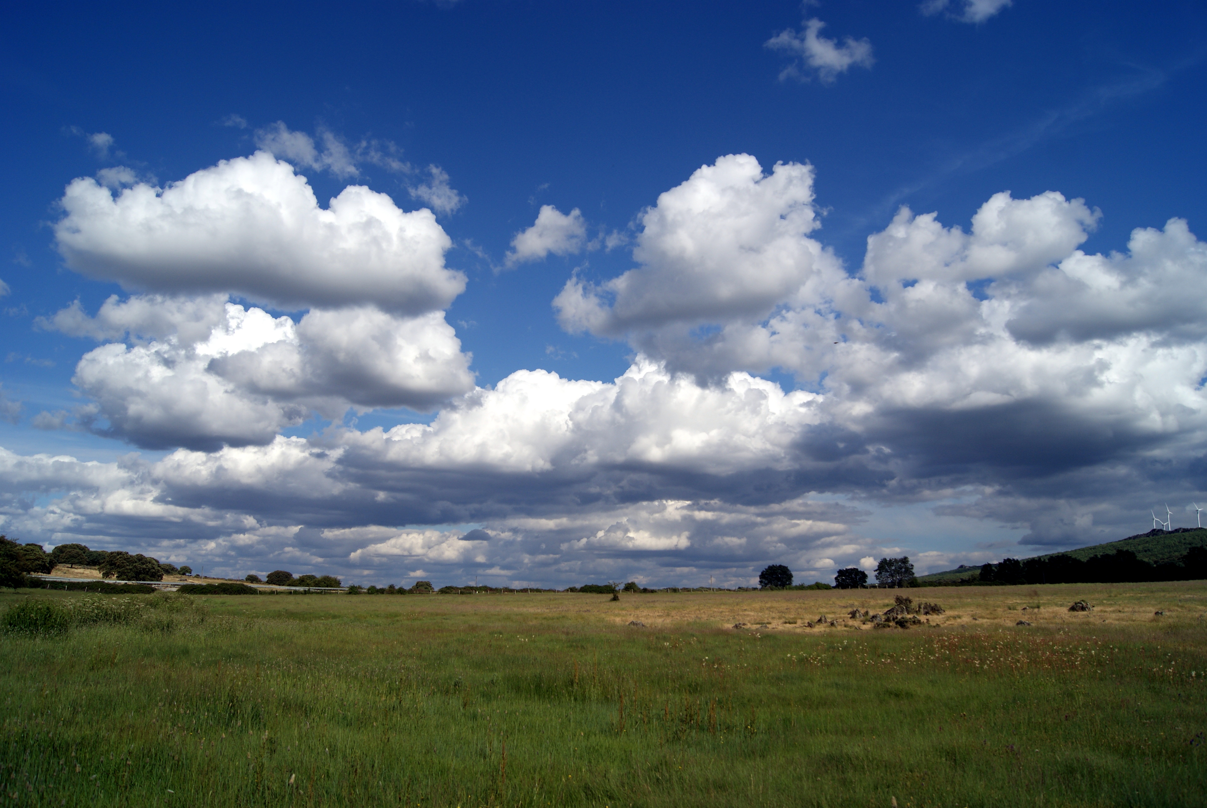
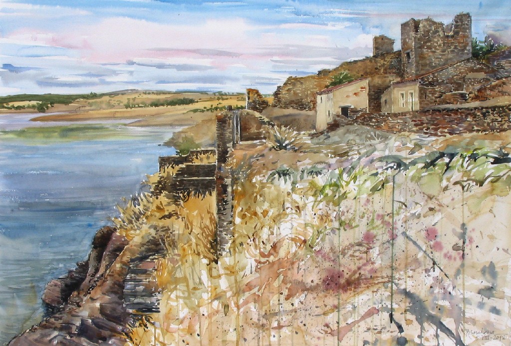
Small Immensity
Landscape Charro

Inland Sea

Esta mañana en Morille
Esta mañana en Morille.
Paseo matinal 2
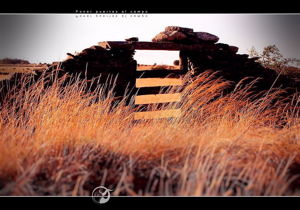
Poner puertas al campo
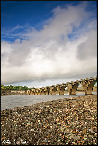
Bridge in Guijuelo
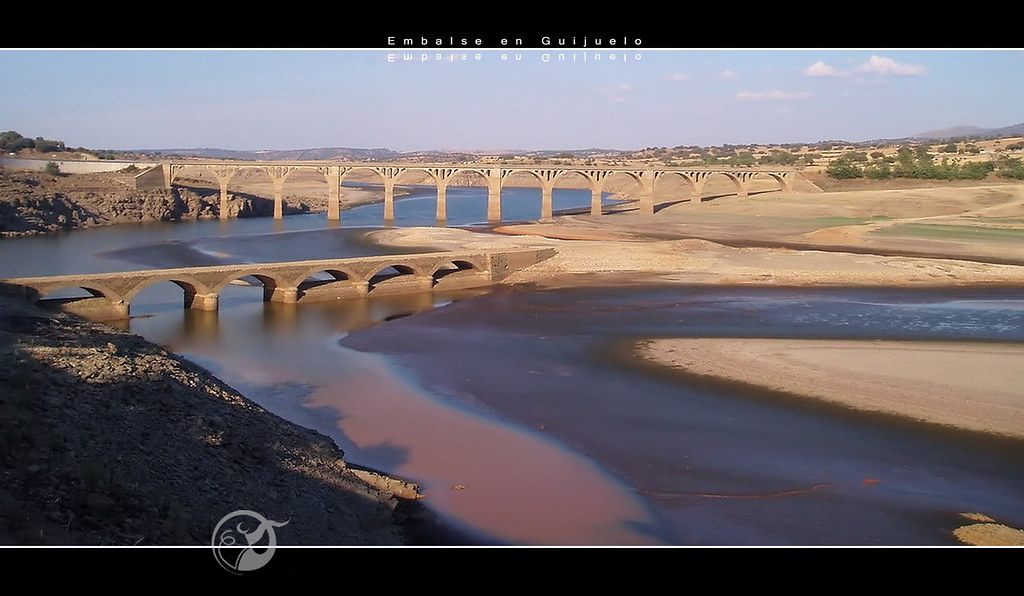
Embalse en Guijuelo
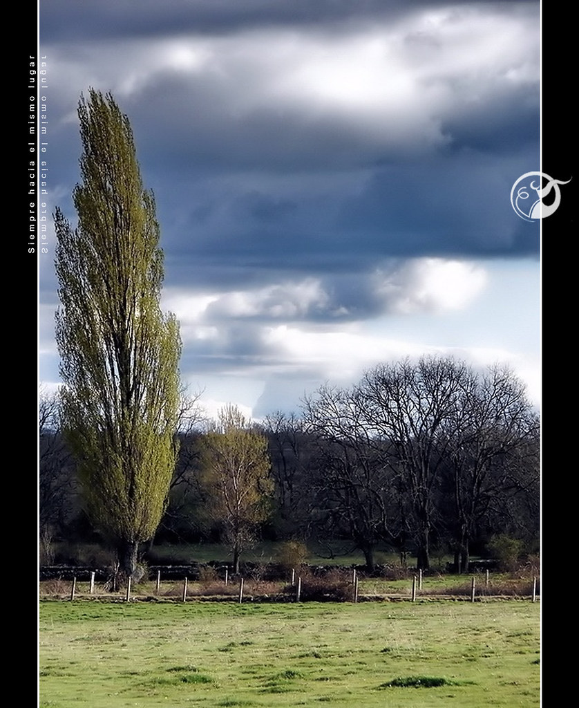
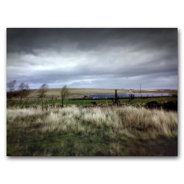
Siempre hacia el mismo lugar

Cuanto mas se aleja....

En el día de hoy en Morille.
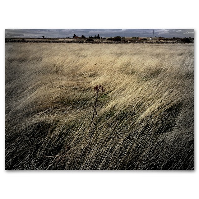
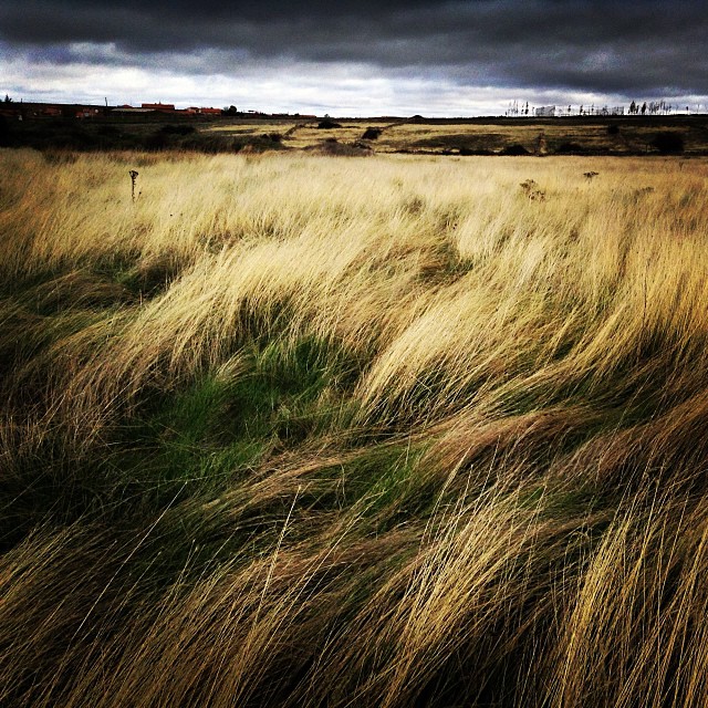
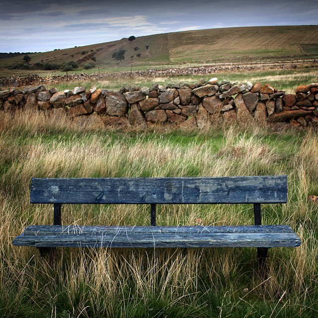
Hierbas otoñales.

El viento que peina las hierbas secas del Páramo.

Piedra molida en las canteras de Los Santos.
Salvatierra 2012

Afternoon Spring
En una tarde de otoño-12

46/365
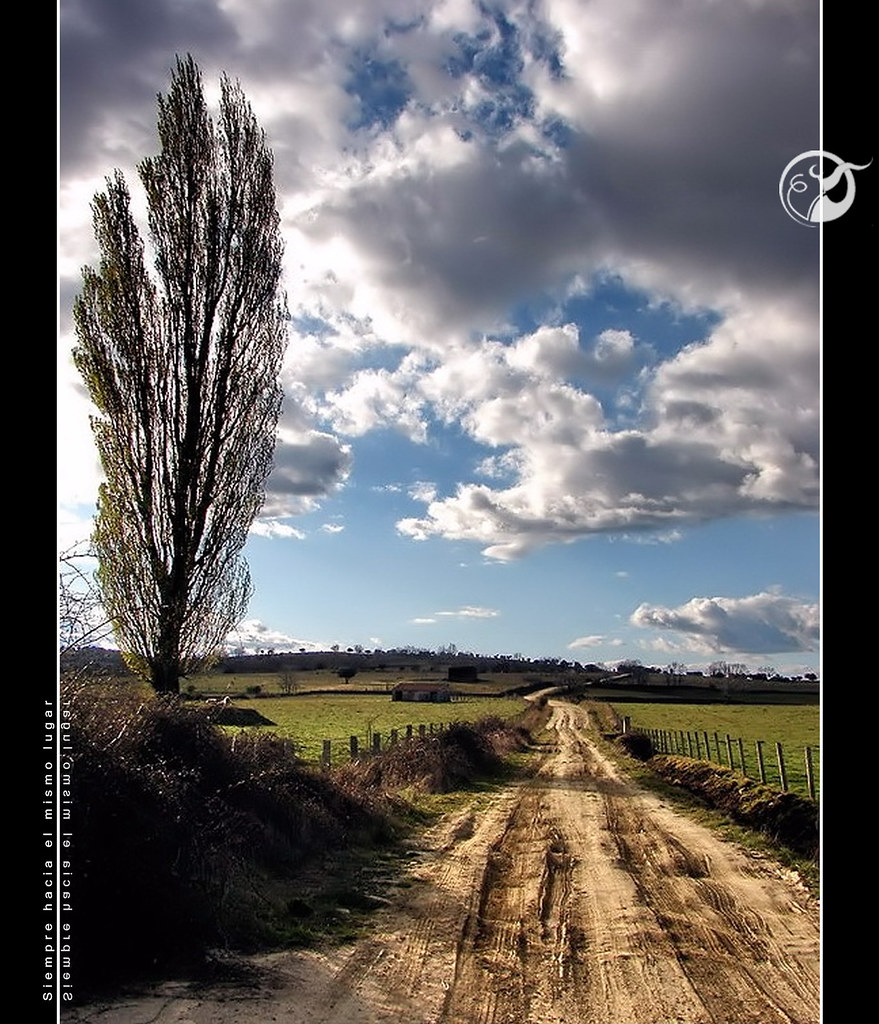
Siempre hacia el mismo lugar
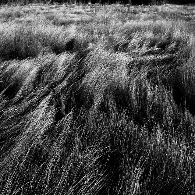
Hierbas peinadas por el viento en Los Santos.
Topographic Map of Calle Quinta, 7, Castillejo, Salamanca, Spain
Find elevation by address:

Places near Calle Quinta, 7, Castillejo, Salamanca, Spain:
Castillejo
Pedrosillo De Los Aires
Calle Constitución Española, 18, Palacios de Salvatierra, Salamanca, Spain
Palacios De Salvatierra
Guijuelo
Guijuelo
Club Deportivo Guijuelo
Calle Extrarradio, 1, Guijuelo, Salamanca, Spain
La Cabeza De Béjar
Calle Imperial, 15, La Cabeza de Béjar, Salamanca, Spain
La Cabeza De Béjar
Calle Carretera, 5, La Sierpe, Salamanca, Spain
La Sierpe
Valdelacasa
Herguijuela Del Campo
Calle de la Alegria, 1, Herguijuela del Campo, Salamanca, Spain
Monleón
Calle Marcos, 4, Monleón, Salamanca, Spain
Monleón
Herguijuela Del Campo
Recent Searches:
- Elevation of Crystal Cir, Birmingham, AL, USA
- Elevation of N Railroad Ave, West Palm Beach, FL, USA
- Elevation of 55 Cassick Valley Rd, Wellfleet, MA, USA
- Elevation of Ironwood Dr, Minden, NV, USA
- Elevation of 高尾山口駅, Takaomachi, Hachioji, Tokyo -, Japan
- Elevation of 15 Victory Ave, Greenville, SC, USA
- Elevation of Kota Ternate Utara, Ternate City, North Maluku, Indonesia
- Elevation of Allon St, Oceanside, NY, USA
- Elevation of Carroll Creek Rd, Custer, SD, USA
- Elevation of Lust Road, Lust Rd, Florida, USA