Elevation of Calle Pilar, 30, Cabezarrubias del Puerto, Cdad. Real, Spain
Location: Spain > Castile-la Mancha > Ciudad Real > Cabezarrubias Del Puerto >
Longitude: -4.1842884
Latitude: 38.6177679
Elevation: 726m / 2382feet
Barometric Pressure: 93KPa
Elevation Map:
Satellite Map:
Related Photos:
α Planum Porti c, Gratia Prime
Emma y Elorza
α Planum Porti b, El Planeta de los Clones.
View from Train

Don Quijote
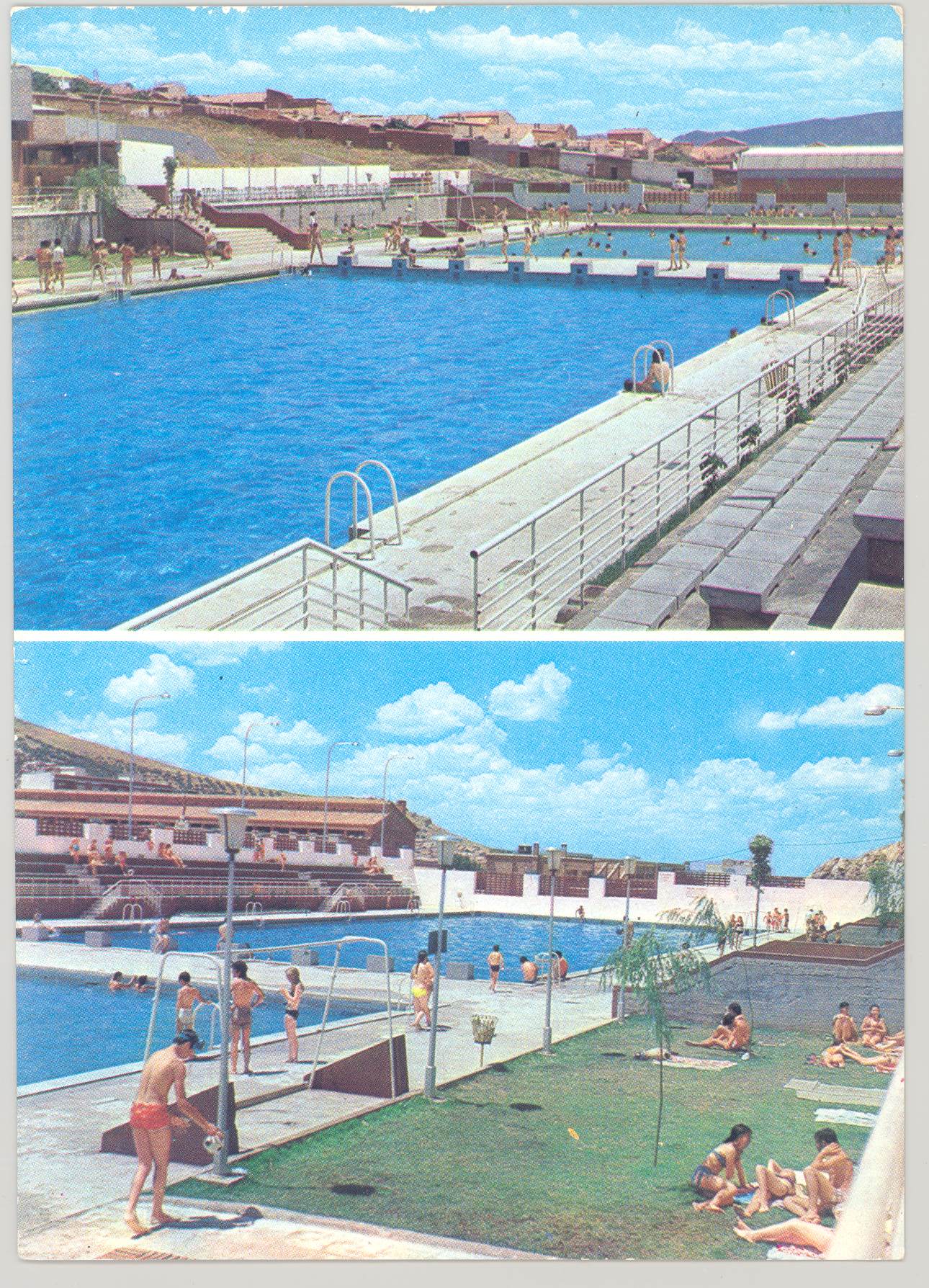
Puertollano: piscina municipal
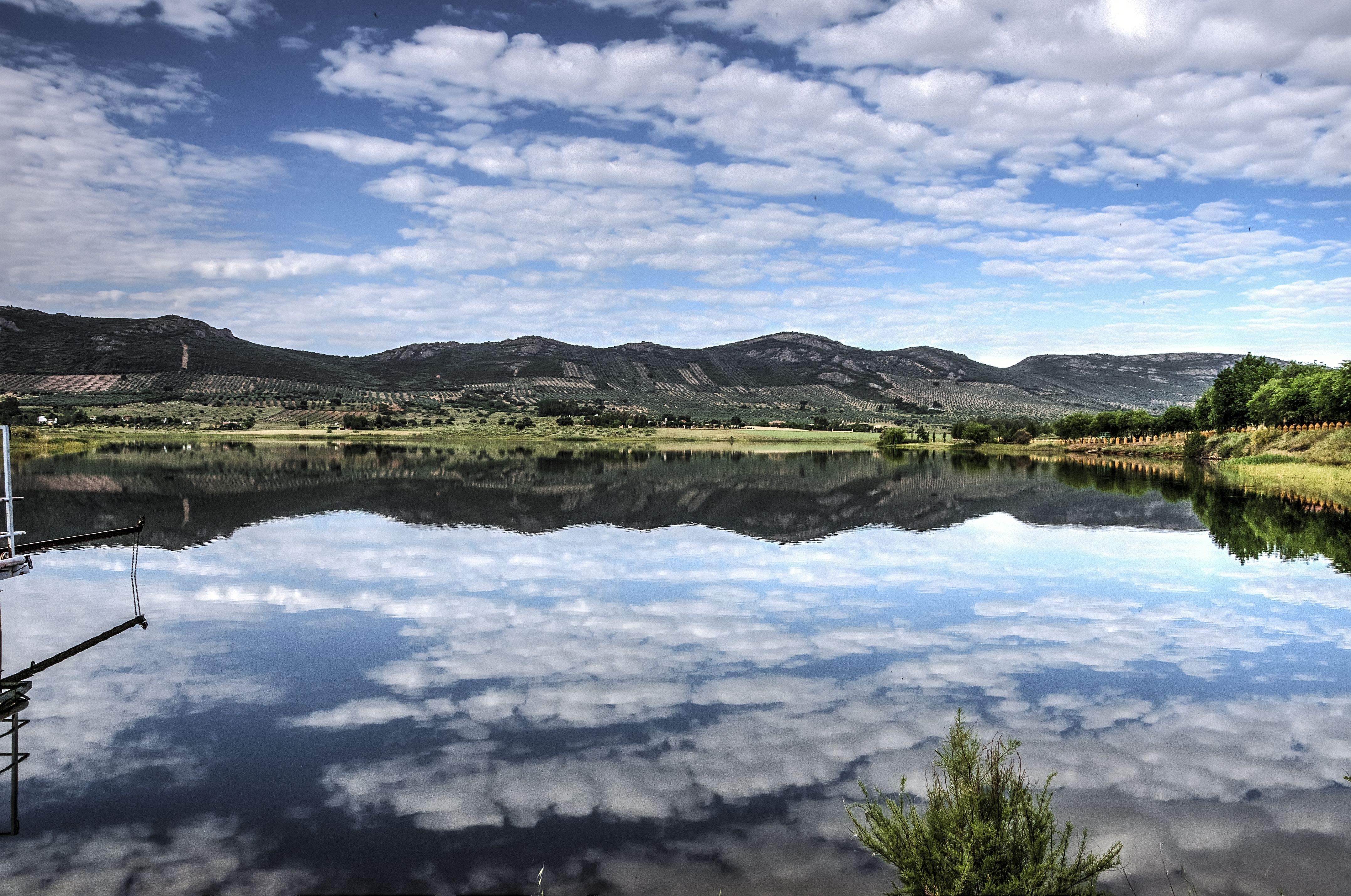
Pantanillo Brazatortas

Puertollano.
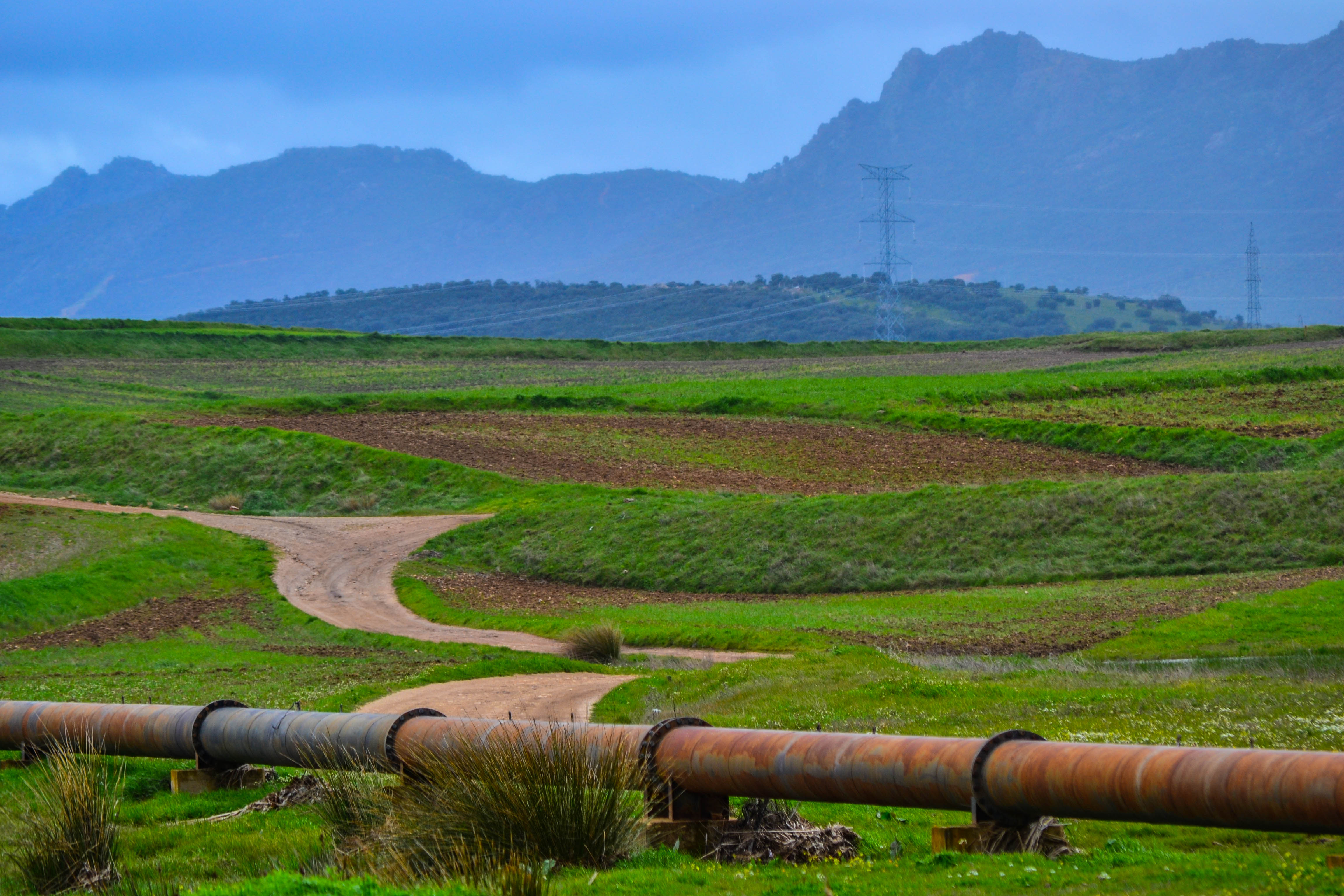
Camino al monte
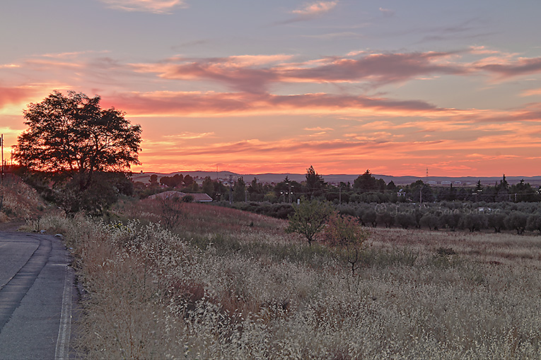
Al lado de mi casa
El Terri
Topographic Map of Calle Pilar, 30, Cabezarrubias del Puerto, Cdad. Real, Spain
Find elevation by address:

Places near Calle Pilar, 30, Cabezarrubias del Puerto, Cdad. Real, Spain:
Cabezarrubias Del Puerto
Hinojosas De Calatrava
Calle Mestanza, 43, Hinojosas de Calatrava, Cdad. Real, Spain
Calle Noruega, 24, Cdad. Real, Spain
Almodóvar Del Campo
CM-, Almodóvar del Campo, Cdad. Real, Spain
Calle Enrique Ferrándiz, 7, Argamasilla de Calatrava, Cdad. Real, Spain
Argamasilla De Calatrava
Paseo Polideportivo, 1, Villamayor de Calatrava, Cdad. Real, Spain
Villamayor De Calatrava
Camino del Molino, 7, Villamayor de Calatrava, Cdad. Real, Spain
Plaza de la Constitucion, 3, Los Pozuelos de Calatrava, Cdad. Real, Spain
Los Pozuelos De Calatrava
Los Pozuelos De Calatrava
Plaza de la Inmaculada, 1, Cañada de Calatrava, Cdad. Real, Spain
Cañada De Calatrava
Ciudad Real
Plaza del Reloj, 16, Alcolea de Calatrava, Cdad. Real, Spain
Alcolea De Calatrava
Paseo los Álamos, 3, Ciudad Real, Cdad. Real, Spain
Recent Searches:
- Elevation of Cavendish Rd, Harringay Ladder, London N4 1RR, UK
- Elevation of 1 Zion Park Blvd, Springdale, UT, USA
- Elevation of Ganderbal
- Elevation map of Konkan Division, Maharashtra, India
- Elevation of Netaji Nagar, Hallow Pul, Kurla, Mumbai, Maharashtra, India
- Elevation of Uralsk, Kazakhstan
- Elevation of 45- Kahana Dr, Honokaa, HI, USA
- Elevation of New Mexico 30, NM-30, Española, NM, USA
- Elevation of Santmyer Way, Charles Town, WV, USA
- Elevation of Riserva Naturale Lago di Montepulciano, Italy