Elevation of Calle 5 de Mayo, San Pedro Comitancillo, Oax., Mexico
Location: Mexico > Oaxaca > San Pedro Comitancillo > San Pedro Comitancillo >
Longitude: -95.159431
Latitude: 16.4899966
Elevation: 71m / 233feet
Barometric Pressure: 100KPa
Elevation Map:
Satellite Map:
Related Photos:

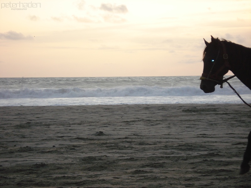
untitled 23
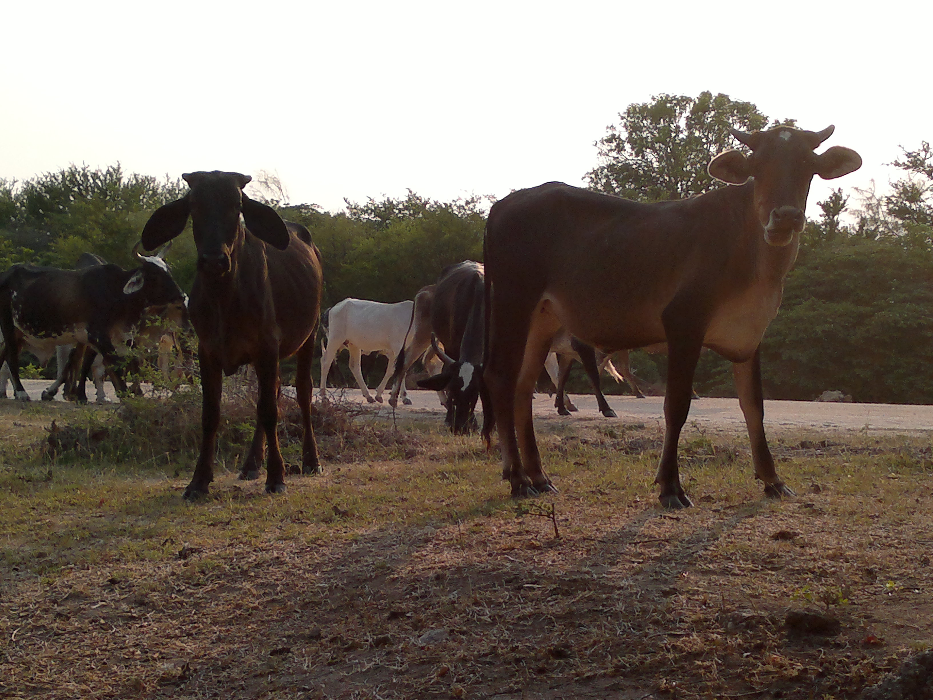
Vacas del Rancho
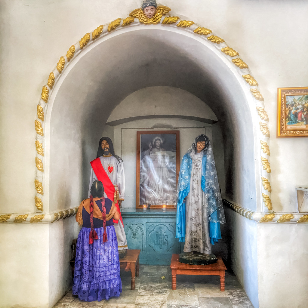
Praying (Juchitán, Oaxaca. Gustavo Thomas © 2016)
2008.07.31-16962 - Version 2
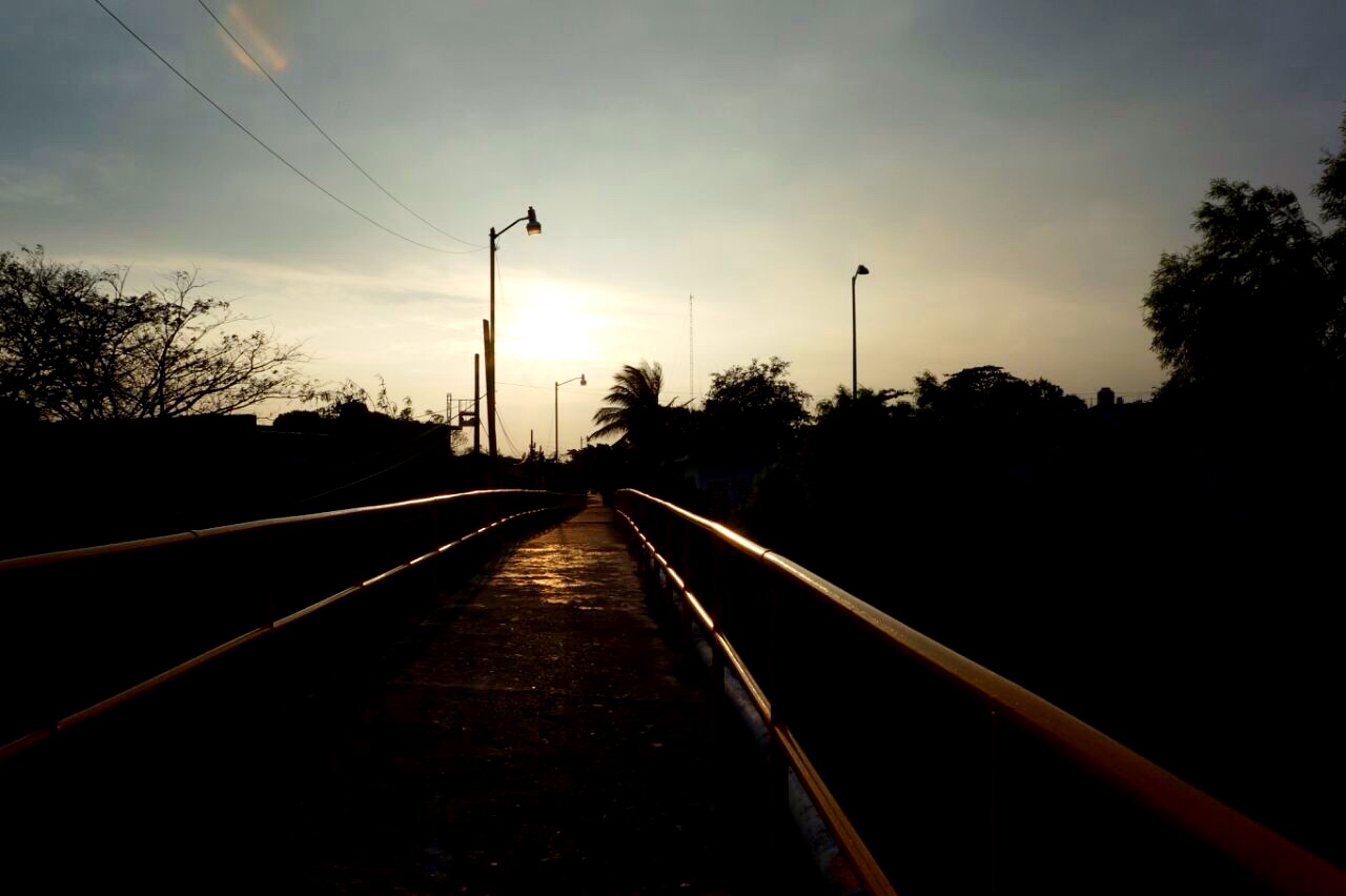
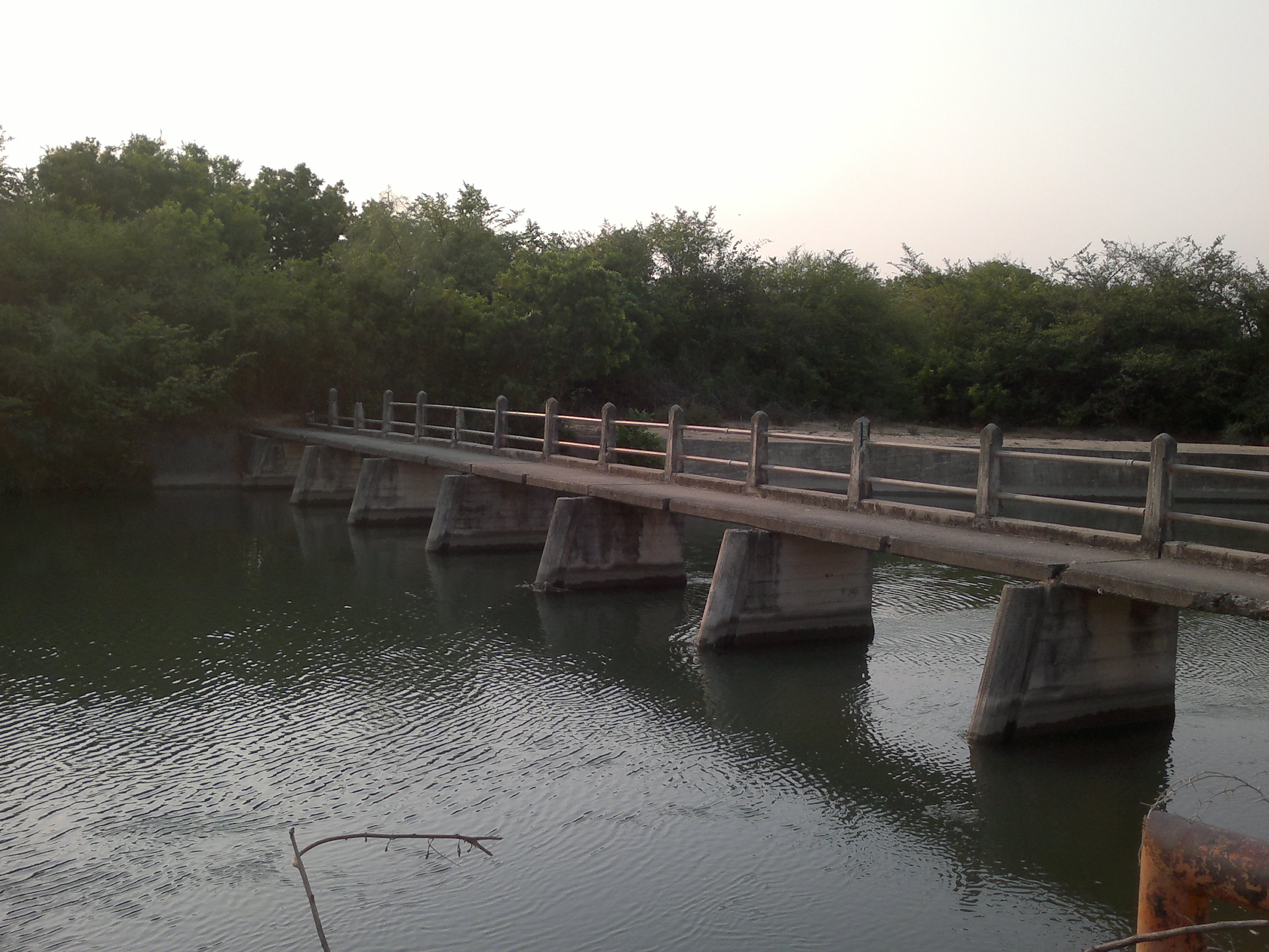
Puente "Los Perros"

Miércoles Santo

San Vicente Ferrer

Regiduría de Agazajos y Regocijos. #Juchitán #Oaxaca
... & water

Vendedora de Huipil

Parada obligada en la #Michemóvil
2014 spring road trip Mexico and Guatemala 289
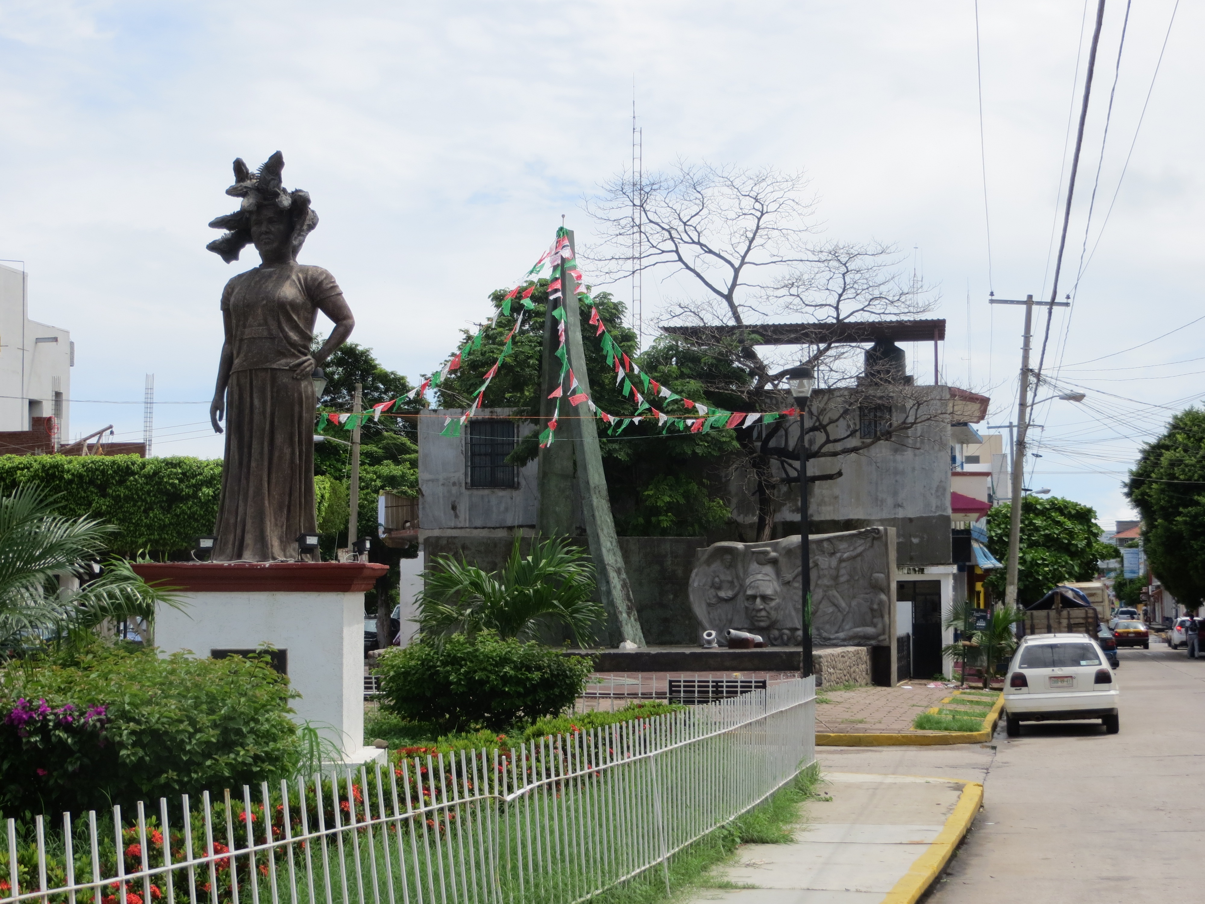
IMG_0660 Juchitán, Ehrendankmal an die Frau

Mueran de envidia. #Hamaca

Psychedelic taxi
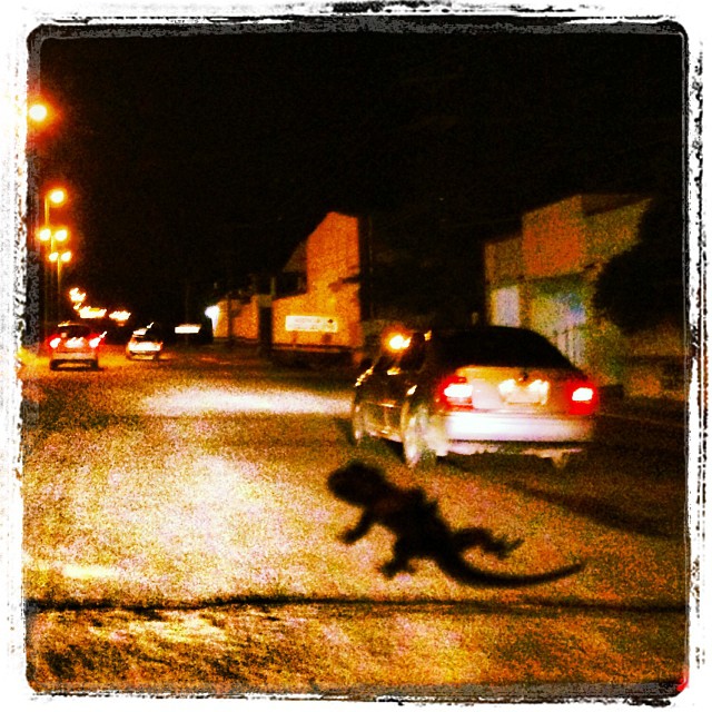
A gecko on the windscreen!
Río
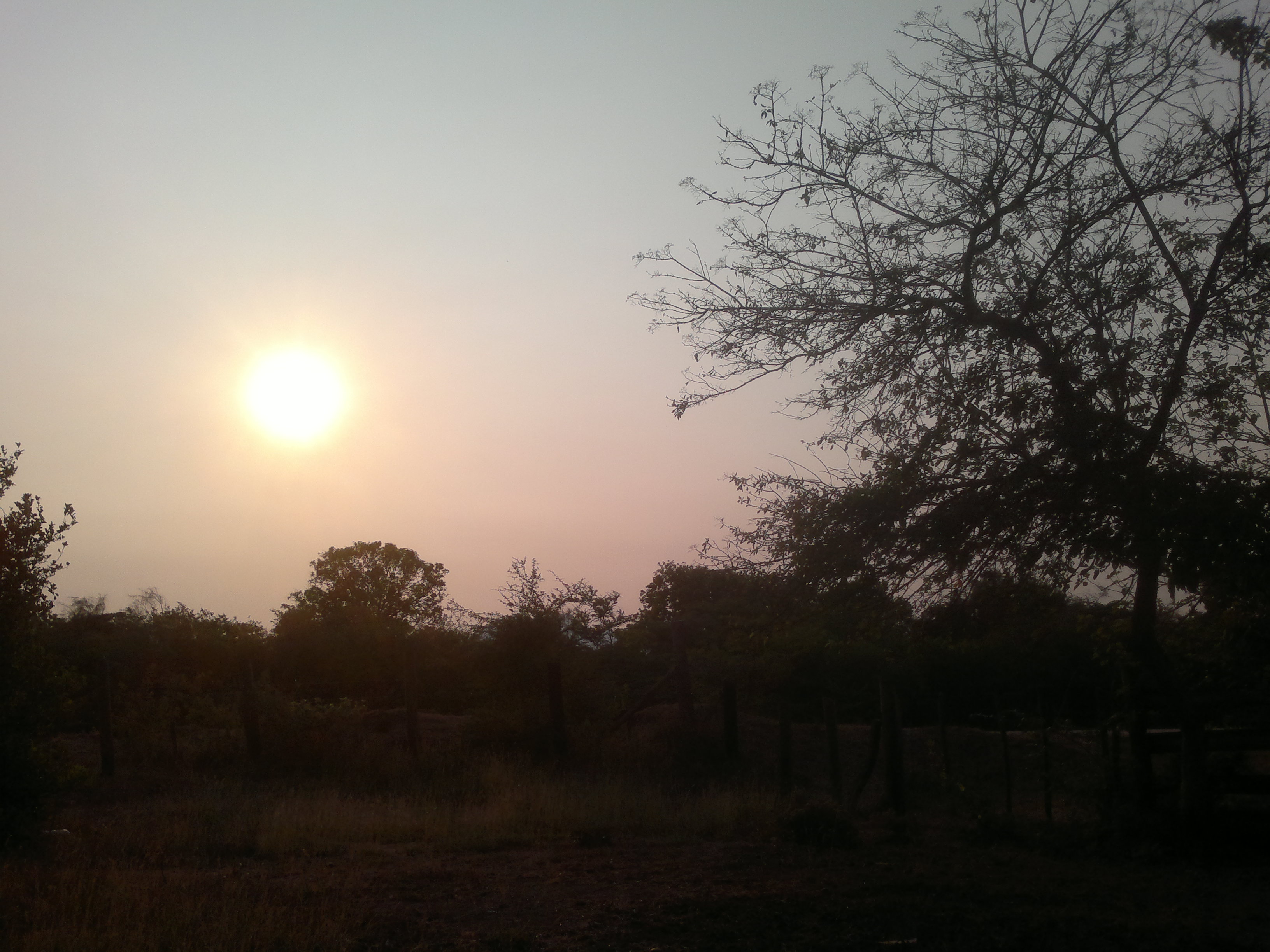
Sol en el Rancho

Tlacotepec.
Topographic Map of Calle 5 de Mayo, San Pedro Comitancillo, Oax., Mexico
Find elevation by address:

Places near Calle 5 de Mayo, San Pedro Comitancillo, Oax., Mexico:
San Pedro Comitancillo
San Pedro Comitancillo
Ixtepec
Ixtepec
Aldama 19
4ta
El Espinal
Juchitán De Zaragoza
Las Delicias 95, 4ta., Juchitán de Zaragoza, Oax., Mexico
4ta.
Juchitán De Zaragoza
Porfirio Díaz, Santa Rosa, Oax., Mexico
Calle Josefa Ortiz, Centro, Ejido del Centro, Oax., Mexico
México , Niza Conejo, Oax., Mexico
Santa María Petapa
Santiago Niltepec
Av. Porfirio Díaz 5, Santiago Niltepec, Oax., Mexico
Santiago Niltepec
San Francisco Del Mar
San Francisco Del Mar
Recent Searches:
- Elevation of Congressional Dr, Stevensville, MD, USA
- Elevation of Bellview Rd, McLean, VA, USA
- Elevation of Stage Island Rd, Chatham, MA, USA
- Elevation of Shibuya Scramble Crossing, 21 Udagawacho, Shibuya City, Tokyo -, Japan
- Elevation of Jadagoniai, Kaunas District Municipality, Lithuania
- Elevation of Pagonija rock, Kranto 7-oji g. 8"N, Kaunas, Lithuania
- Elevation of Co Rd 87, Jamestown, CO, USA
- Elevation of Tenjo, Cundinamarca, Colombia
- Elevation of Côte-des-Neiges, Montreal, QC H4A 3J6, Canada
- Elevation of Bobcat Dr, Helena, MT, USA