Elevation of Calle 21, Tahmek, Tahmek, Yuc., Mexico
Location: Mexico > Yucatan > Tahmek > Tahmek > Tahmek >
Longitude: -89.264414
Latitude: 20.8755261
Elevation: 13m / 43feet
Barometric Pressure: 101KPa
Elevation Map:
Satellite Map:
Related Photos:
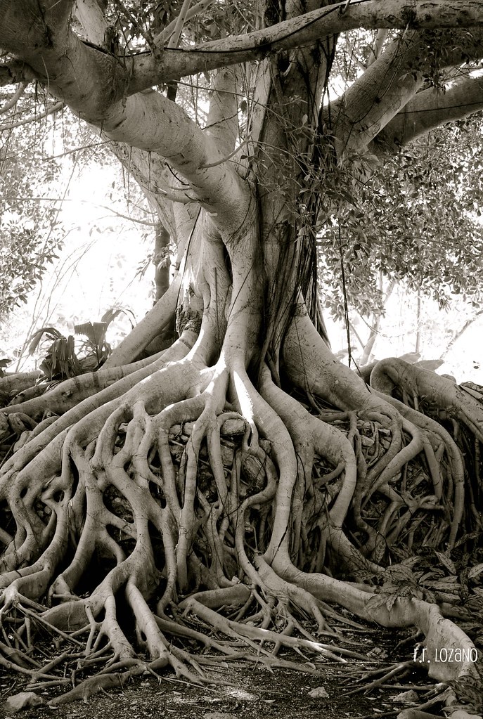
The big tree (EXPLORED)

...y te soñé, una vez más

View From Cenote, Cuzamá, Yucatán, Mexico, 2010
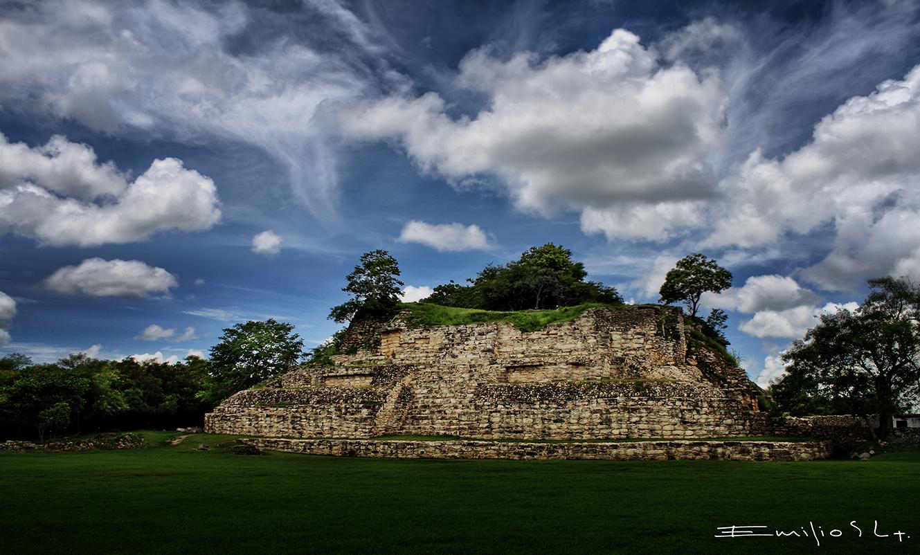
Ake 7443 CH
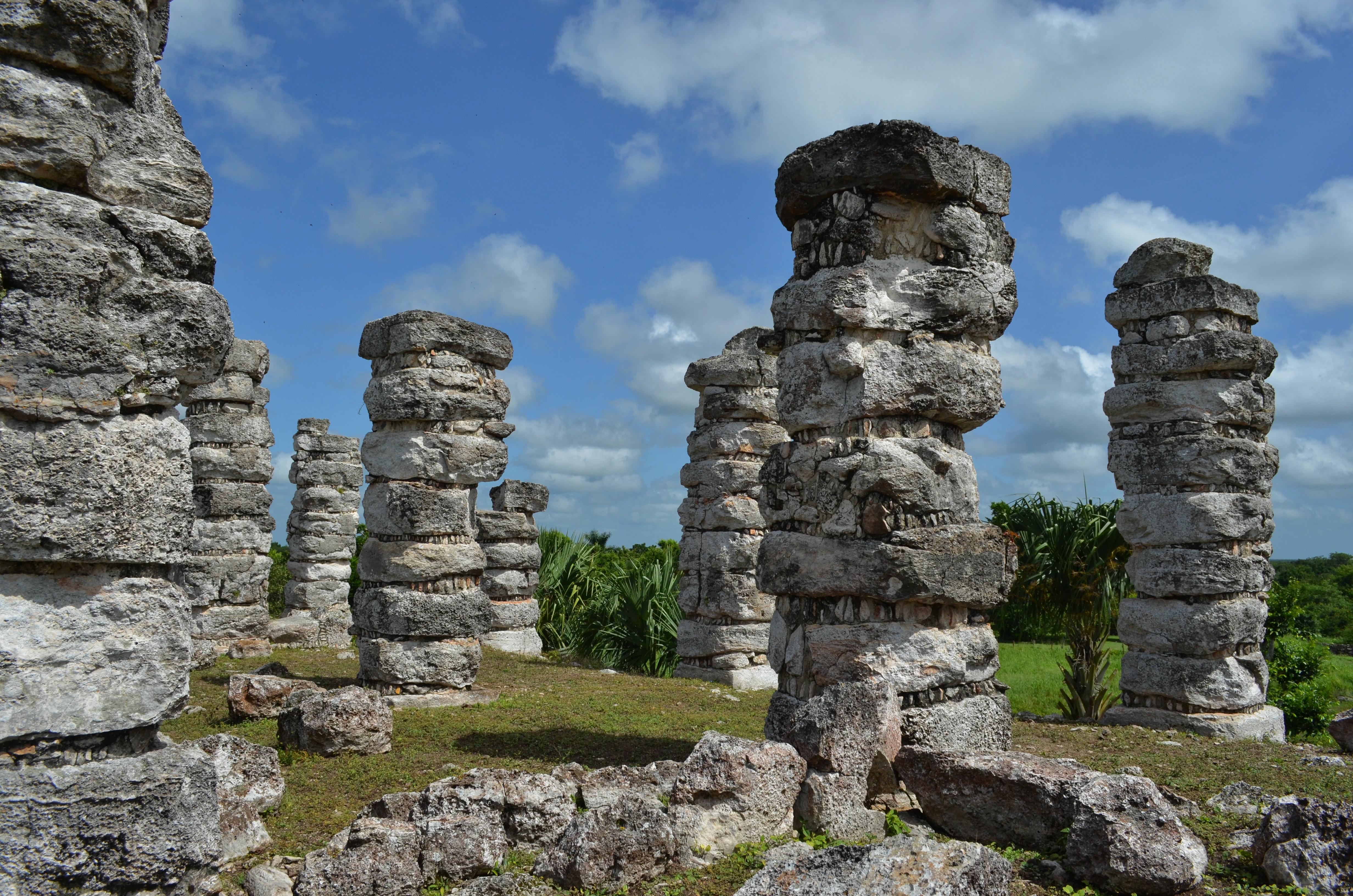
México - Yucatán / Aké

Playa<3

Cenote Tour

Cenote Tour

Cenote Tour

Cenote Tour
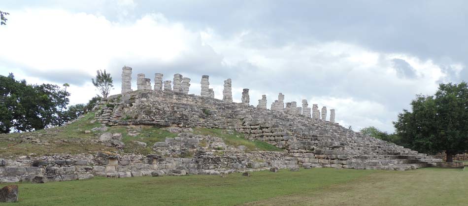
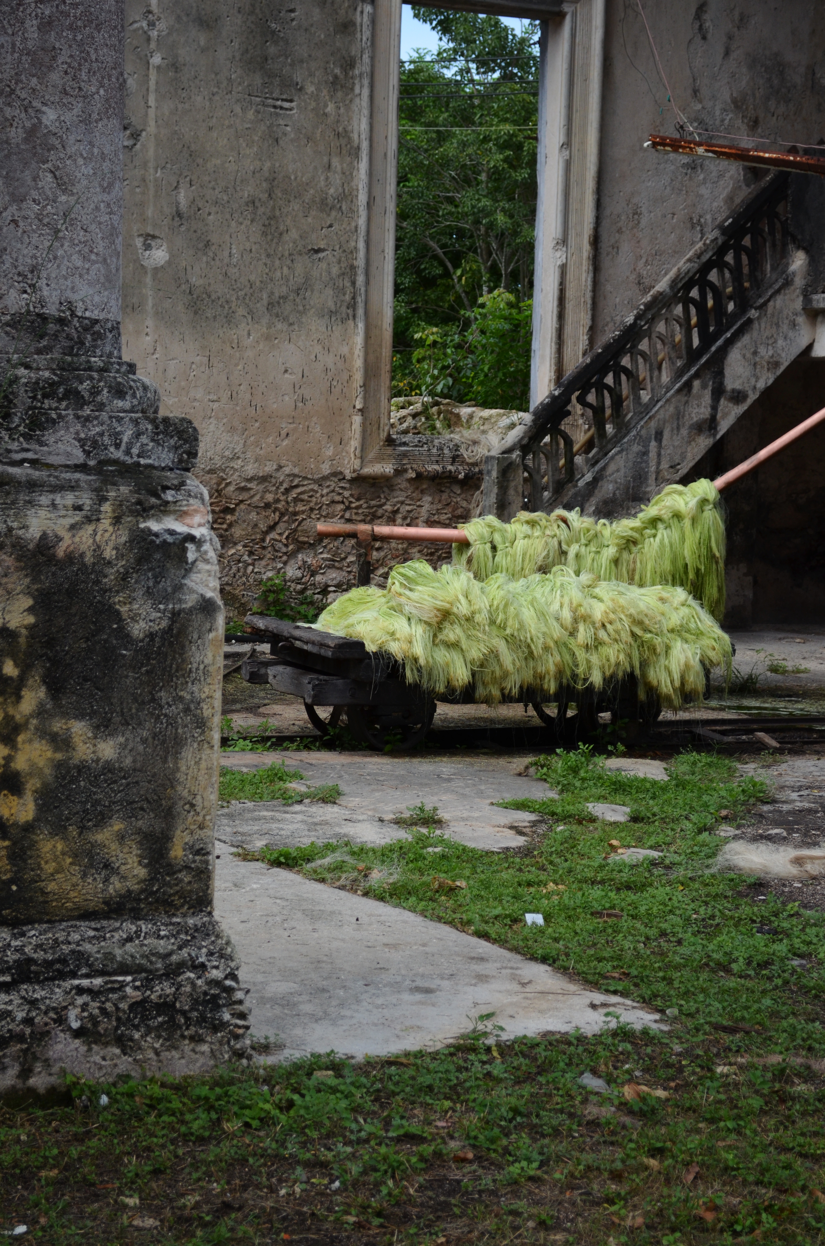
Aké Yucatán

Cenote Tour

Cenote Tour

Hacienda San Jose—Palm trees
Hacienda San Lorenzo Aké Yucatán

Cenote Tour
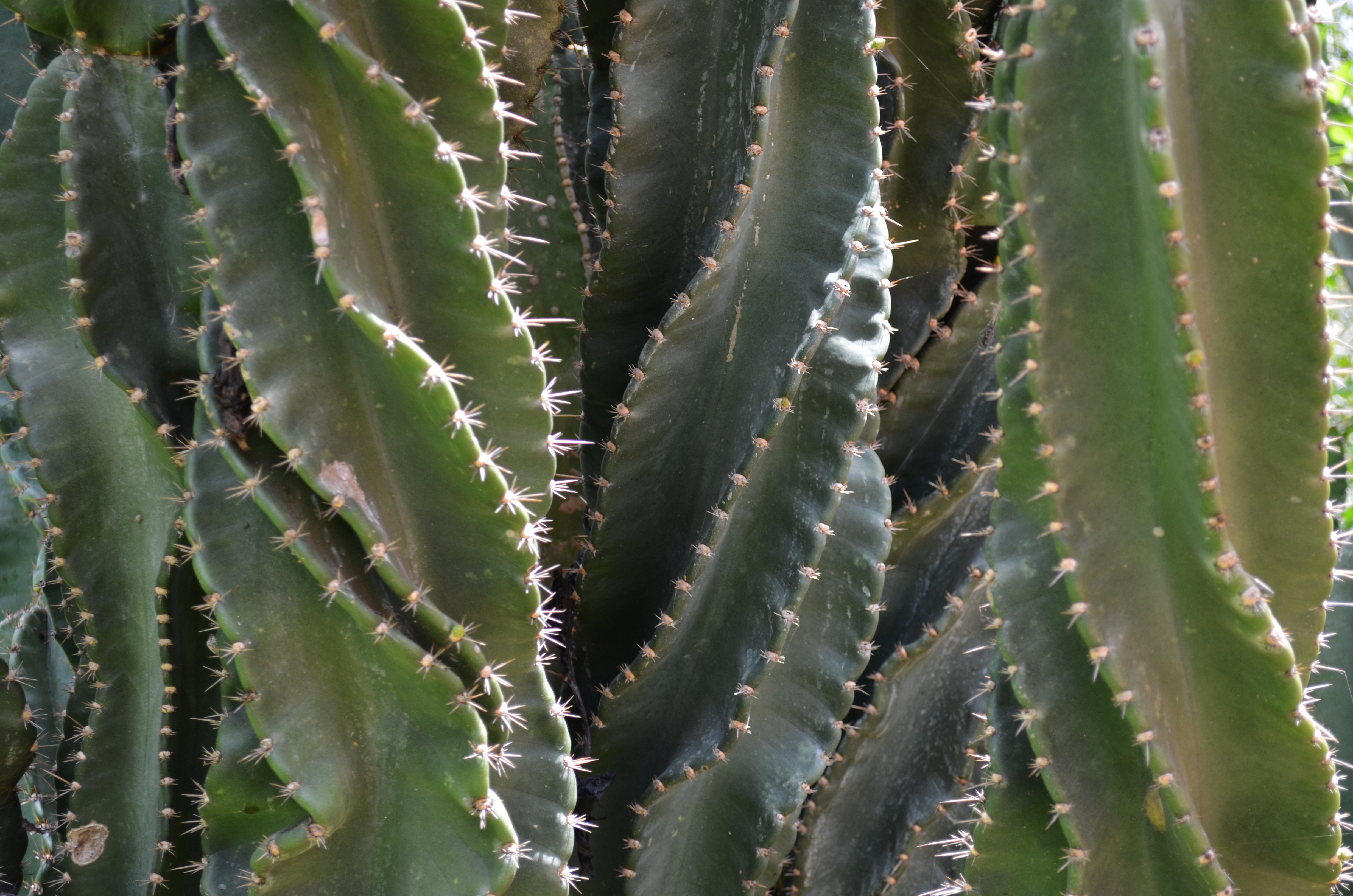
Cactácea

Cenote Tour
Topographic Map of Calle 21, Tahmek, Tahmek, Yuc., Mexico
Find elevation by address:

Places near Calle 21, Tahmek, Tahmek, Yuc., Mexico:
Tahmek
Calle 22 87, Tahmek, Yuc., Mexico
Tahmek
Tahmek
84a
Sanahcat
Calle 20 49, Sanahcat, Sanahcat, Yuc., Mexico
Sanahcat
Euán
Yucatán Tixkokob-Izamal, Euán, Yuc., Mexico
18 64, Kimbilá, Kimbilá, Yuc., Mexico
Kimbilá
Kimbilá
104b
Tixkokob
Tixkokob
Calle 37, Yucatán, Mexico
Tixkokob Municipality
Acanceh
Acanceh
Recent Searches:
- Elevation of Corso Fratelli Cairoli, 35, Macerata MC, Italy
- Elevation of Tallevast Rd, Sarasota, FL, USA
- Elevation of 4th St E, Sonoma, CA, USA
- Elevation of Black Hollow Rd, Pennsdale, PA, USA
- Elevation of Oakland Ave, Williamsport, PA, USA
- Elevation of Pedrógão Grande, Portugal
- Elevation of Klee Dr, Martinsburg, WV, USA
- Elevation of Via Roma, Pieranica CR, Italy
- Elevation of Tavkvetili Mountain, Georgia
- Elevation of Hartfords Bluff Cir, Mt Pleasant, SC, USA