Elevation of Calhoun County, SC, USA
Location: United States > South Carolina >
Longitude: -80.765780
Latitude: 33.6738638
Elevation: 82m / 269feet
Barometric Pressure: 100KPa
Elevation Map:
Satellite Map:
Related Photos:

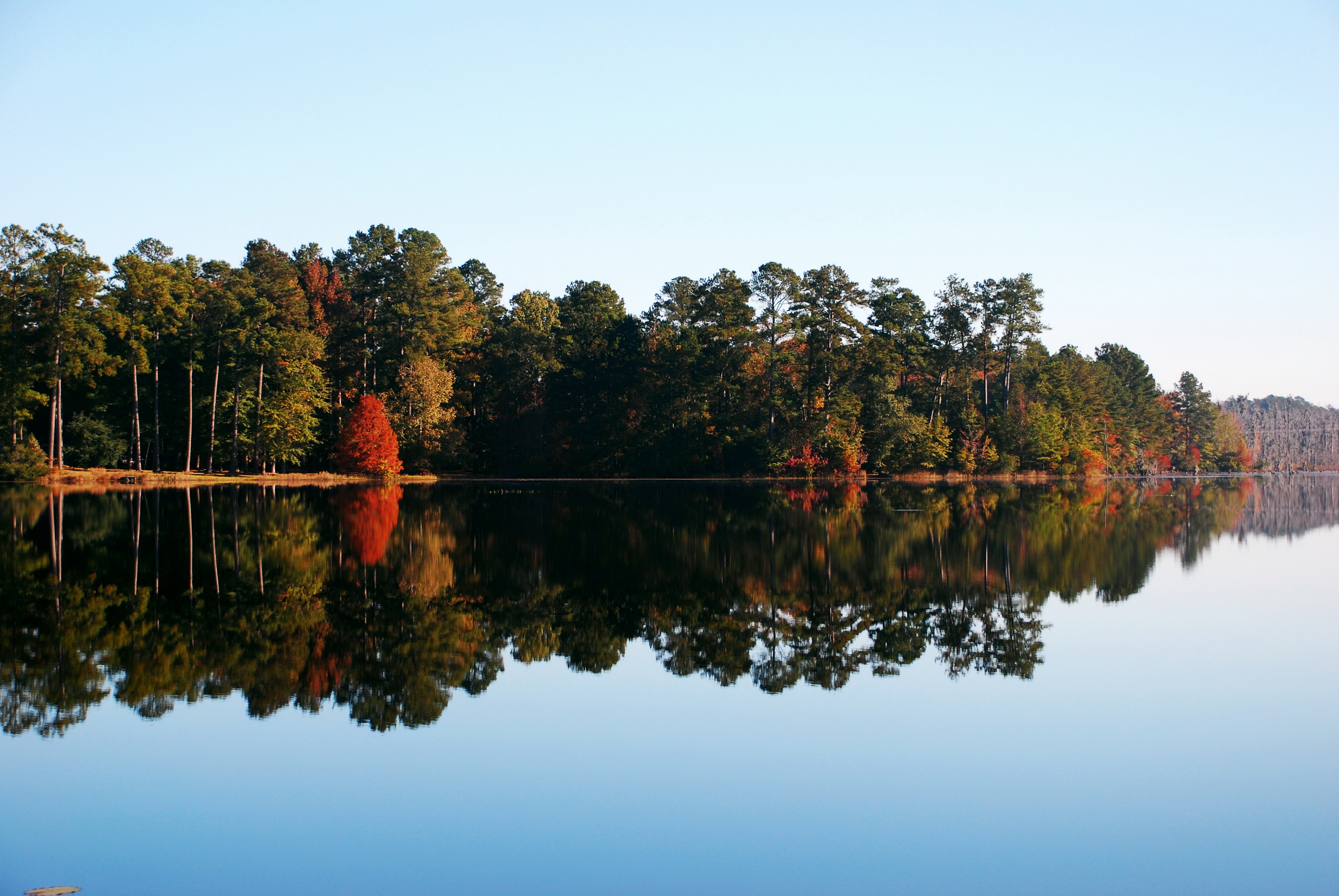
Congaree Bluffs
Congaree National Park 1

Congaree National Park 3
Congaree National Park - Dead River Lake (180 x 360 degree panorama)
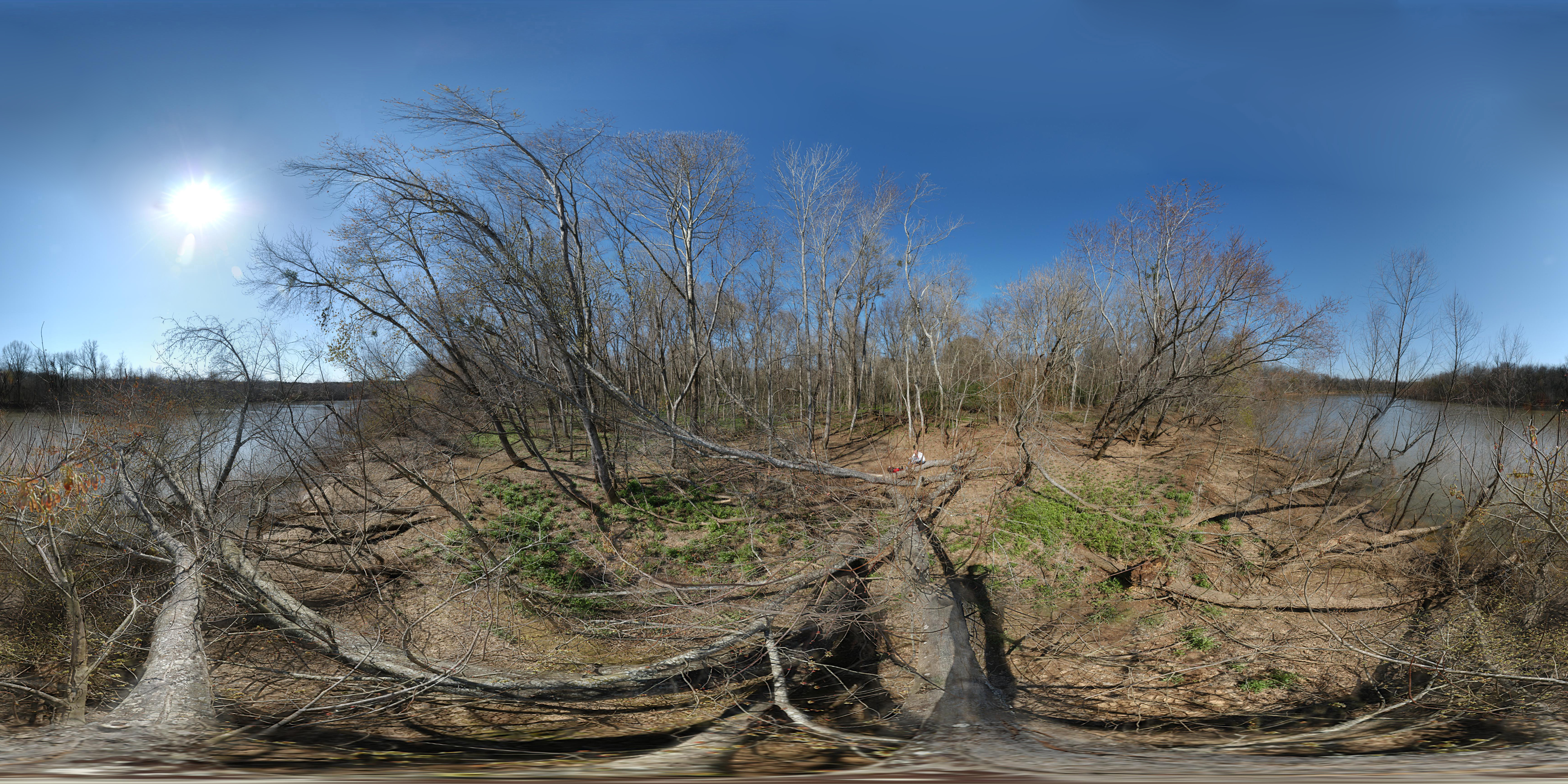
Congaree River (180 x 360 degree panorama)

Congaree National Park - Dead River Lake (360 Panorama)
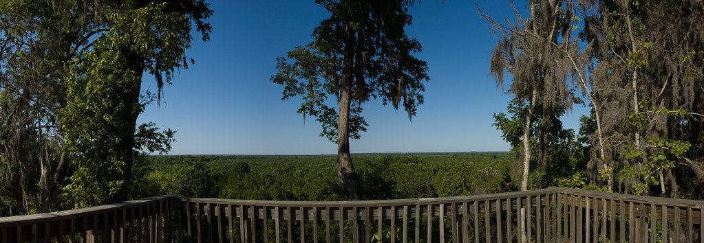
Panorama of the Bluffs
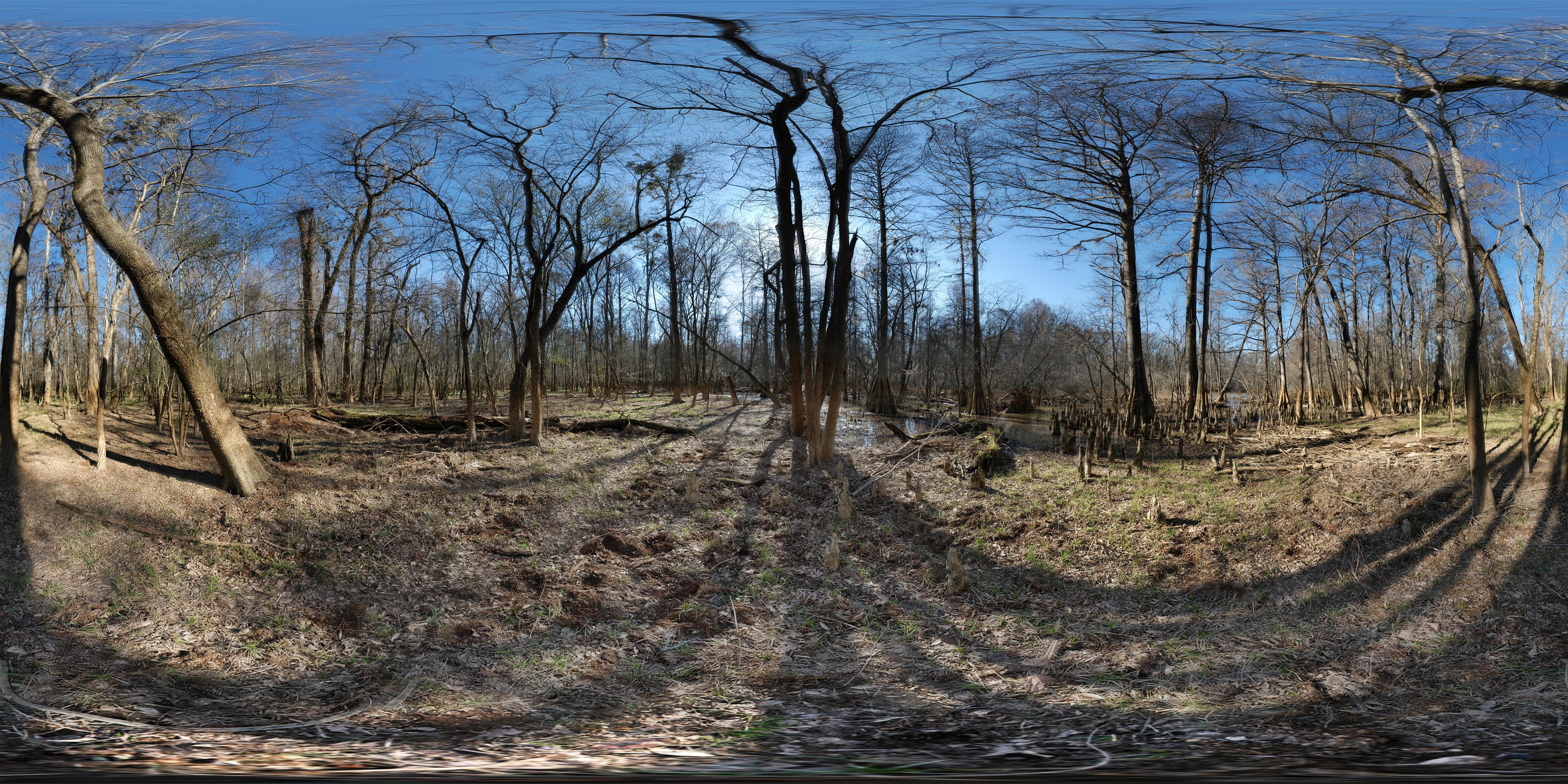
Congaree National Park - Dead River Gut (360 degree panorama)
Congaree National Park 2

Over the rail
Congaree view
2006-02-26 Congaree NP - Dead River Metal Tree
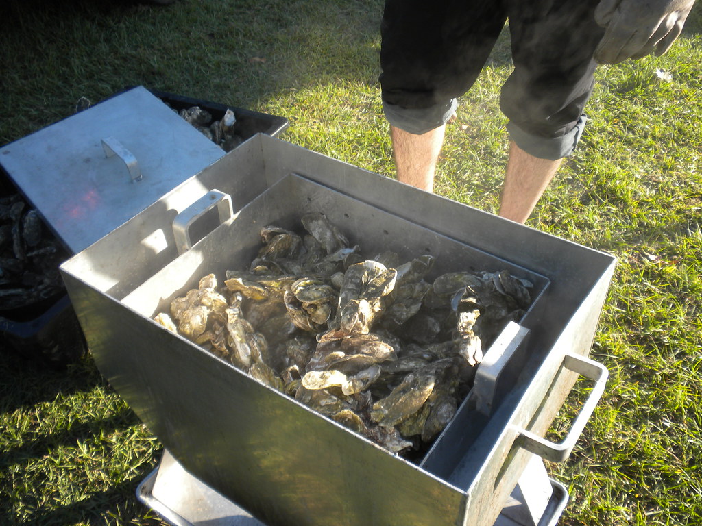
roasted oysters
At the education center
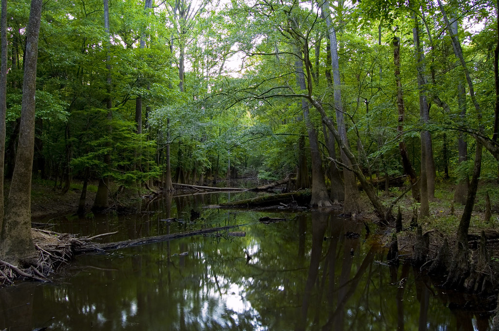
Congaree River
MVC-013F.JPG

Hornets (Congaree River)
MVC-010F.JPG
Congaree bluff view
Oakridge Trail-Congaree National Park

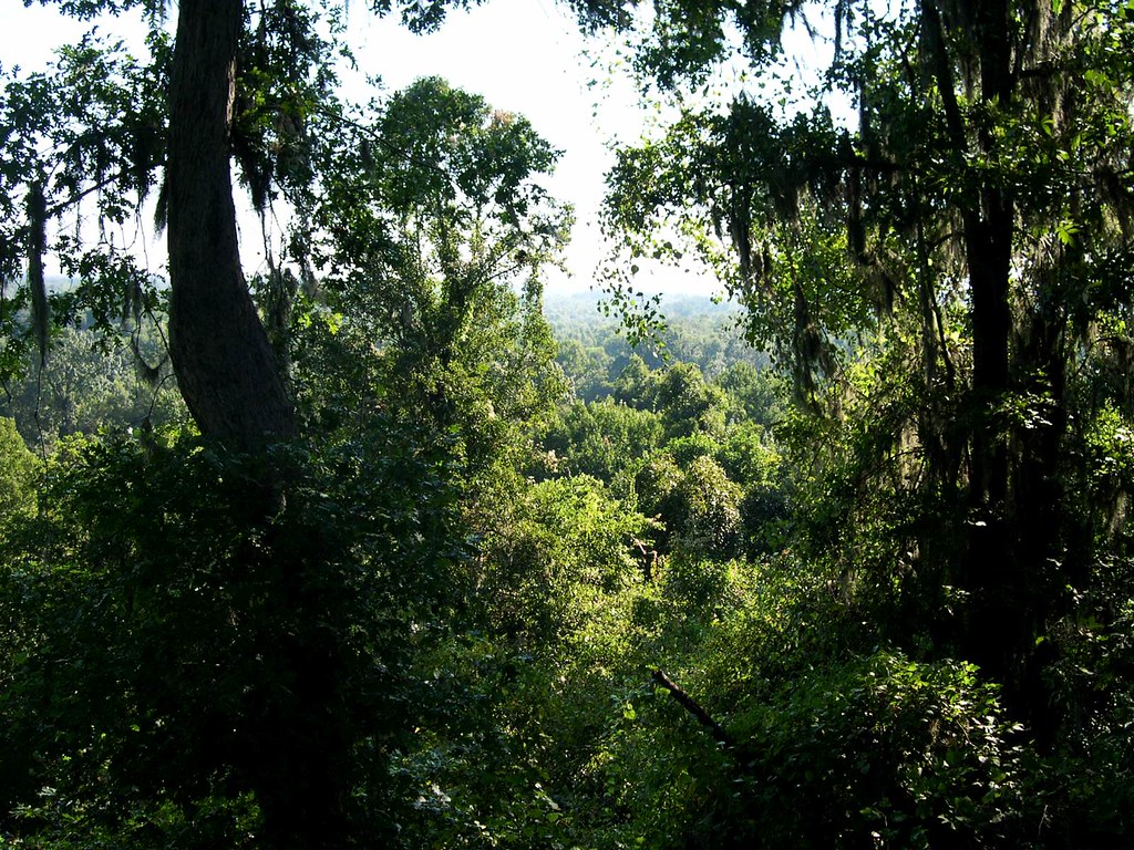
A view of Columbia, from 22 miles away.

Calhoun County Cotton Field

Congaree National Park 119
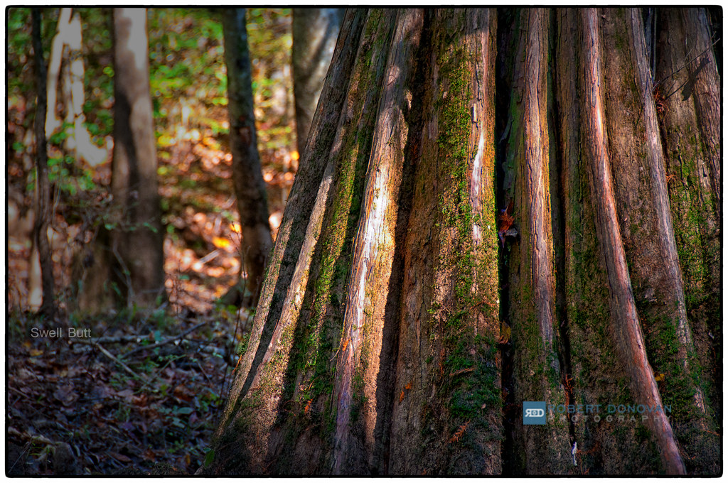
Swell Butt

Rainbow over Calhoun County Farm

Congaree National Park 46

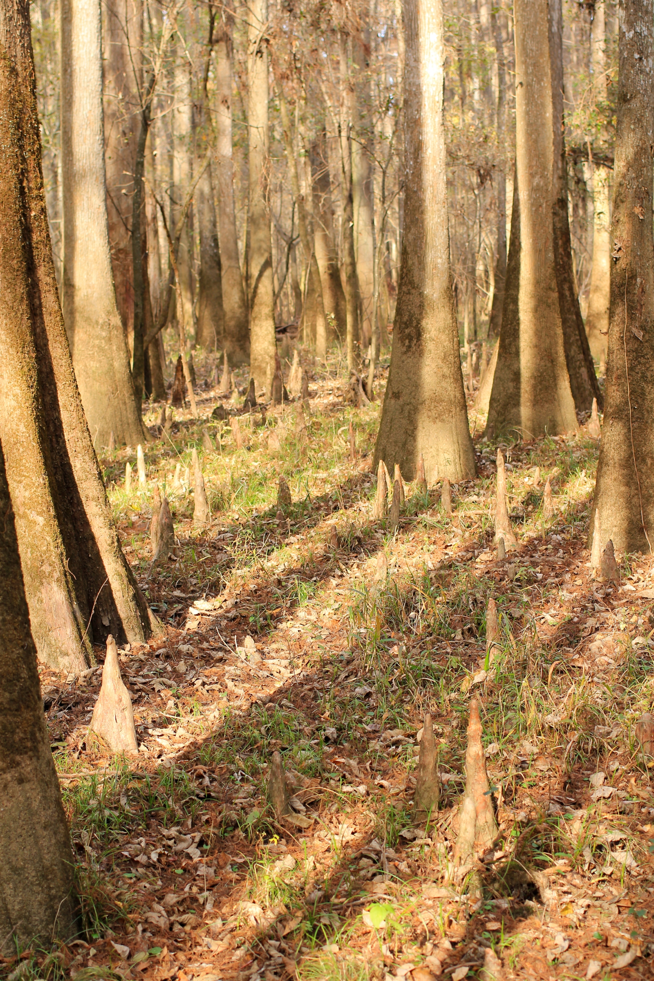
Cypress Knees

River of Copper
Cypress Knees

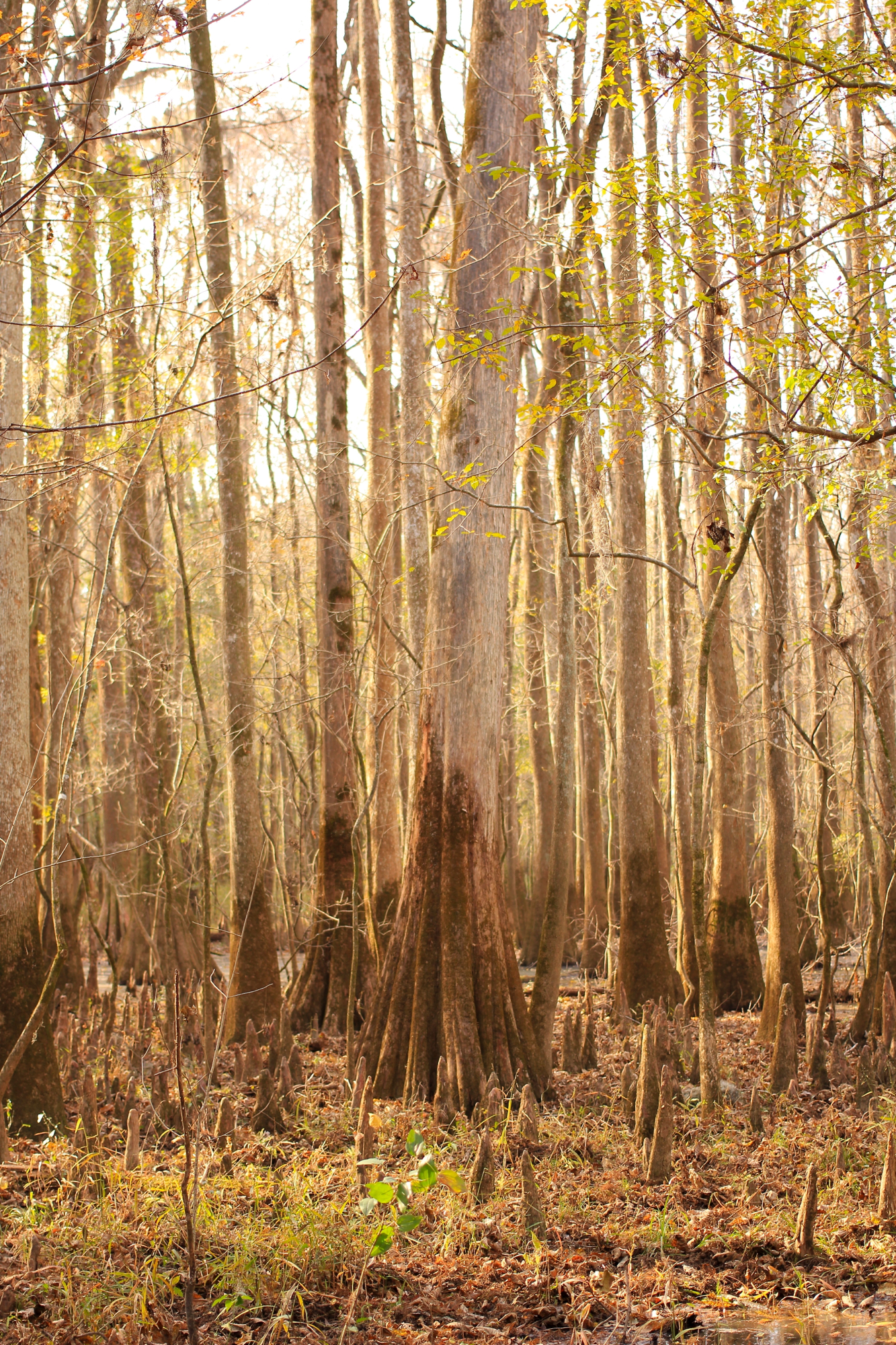
Congaree National Park 79

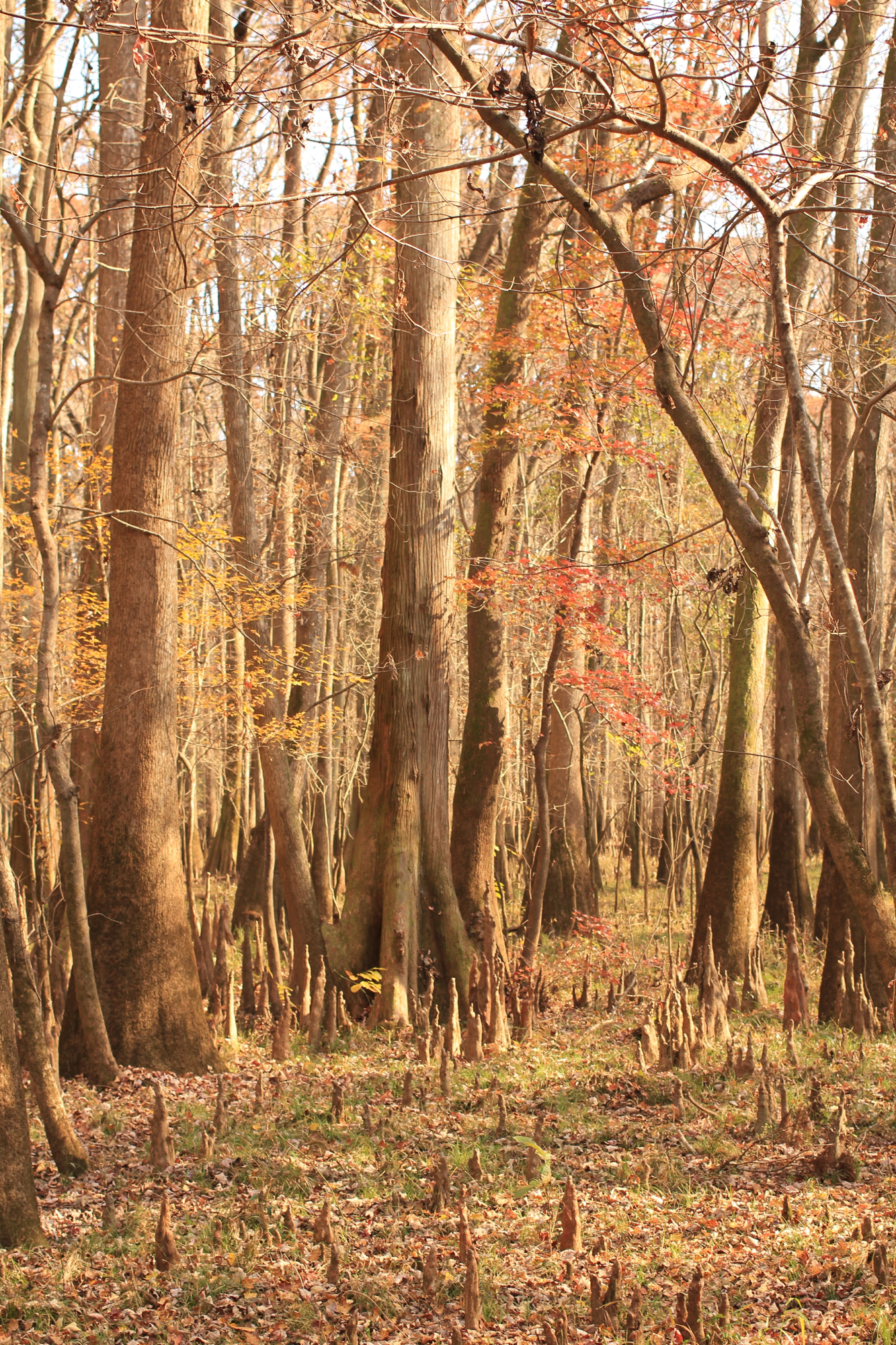
Congaree National Park 86

Rainbow over Hayfield in Calhoun County

Path Through the Swamp

Congaree National Park 138

Congaree National Park 141
Cypress Knees

Congaree National Park 109

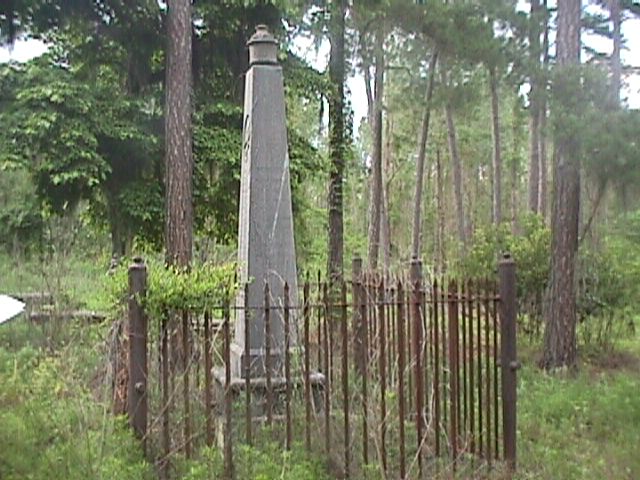
St. Matthew's Lutheran Church
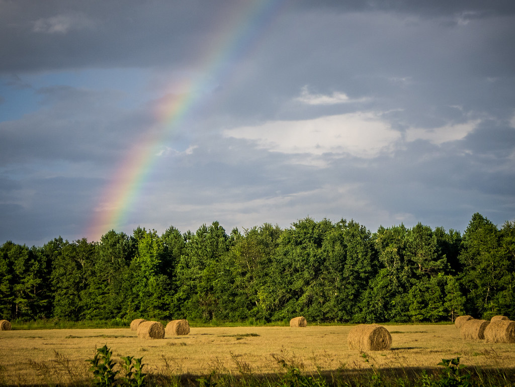
Rainbow over Hayfield in Calhoun County

Congaree National Park 81
Cypress Shadows
Topographic Map of Calhoun County, SC, USA
Find elevation by address:

Places in Calhoun County, SC, USA:
Places near Calhoun County, SC, USA:
State Rd S-9-46, St Matthews, SC, USA
301 Dantzler St
Saint Matthews
210 Calhoun Rd
Town Square St, St Matthews, SC, USA
460 Langley Rd
Orangeburg County Landfill
Cameron
307 Winding Brook Dr
Rosehaven Ln, Orangeburg, SC, USA
Greenwood Ave NE, Orangeburg, SC, USA
Landing Way
1 Oc, Orangeburg, SC, USA
364 Good Hope Rd
South Carolina State University
Midway Rd, Elloree, SC, USA
Orangeburg
Wisteria Dr, Orangeburg, SC, USA
255 Foster Rd
Broad Street
Recent Searches:
- Elevation of Corso Fratelli Cairoli, 35, Macerata MC, Italy
- Elevation of Tallevast Rd, Sarasota, FL, USA
- Elevation of 4th St E, Sonoma, CA, USA
- Elevation of Black Hollow Rd, Pennsdale, PA, USA
- Elevation of Oakland Ave, Williamsport, PA, USA
- Elevation of Pedrógão Grande, Portugal
- Elevation of Klee Dr, Martinsburg, WV, USA
- Elevation of Via Roma, Pieranica CR, Italy
- Elevation of Tavkvetili Mountain, Georgia
- Elevation of Hartfords Bluff Cir, Mt Pleasant, SC, USA