Elevation of Caledonia Rd, Landrum, SC, USA
Location: United States > South Carolina > Spartanburg County > Landrum >
Longitude: -82.241412
Latitude: 35.1953985
Elevation: 358m / 1175feet
Barometric Pressure: 97KPa
Elevation Map:
Satellite Map:
Related Photos:
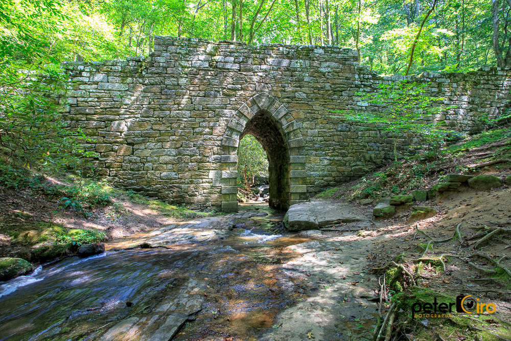
Poinsett Bridge near Highland, SC
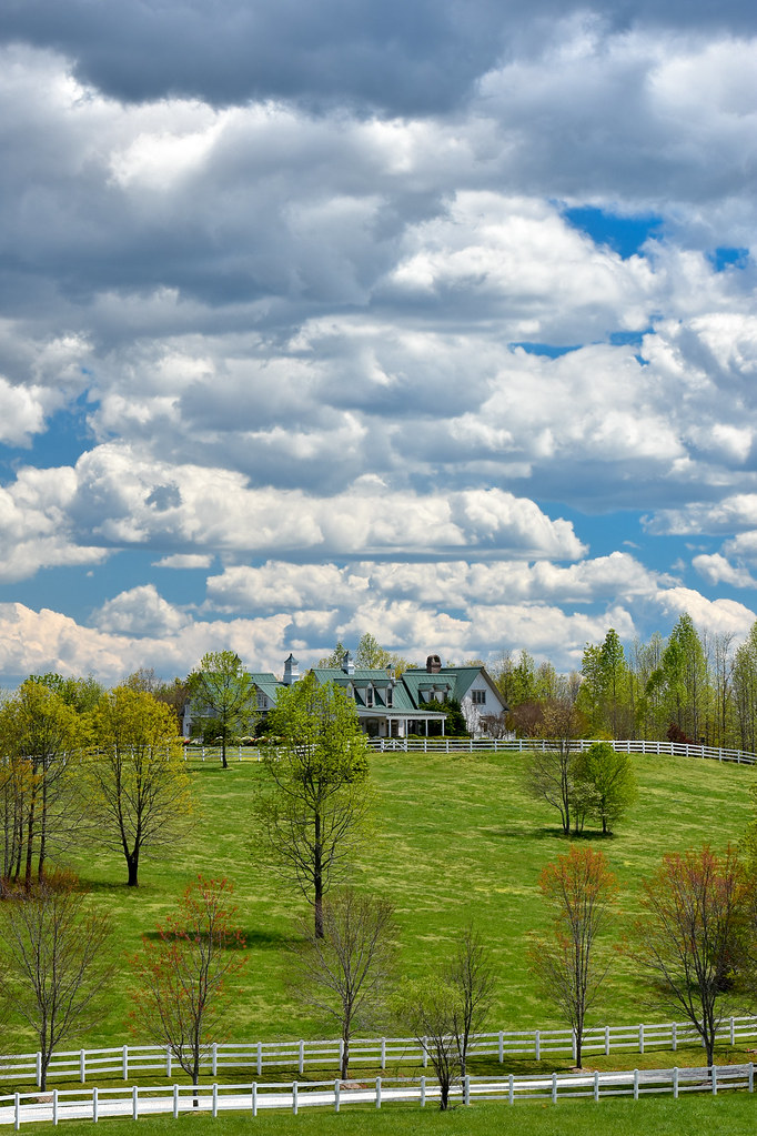
Main Inn View
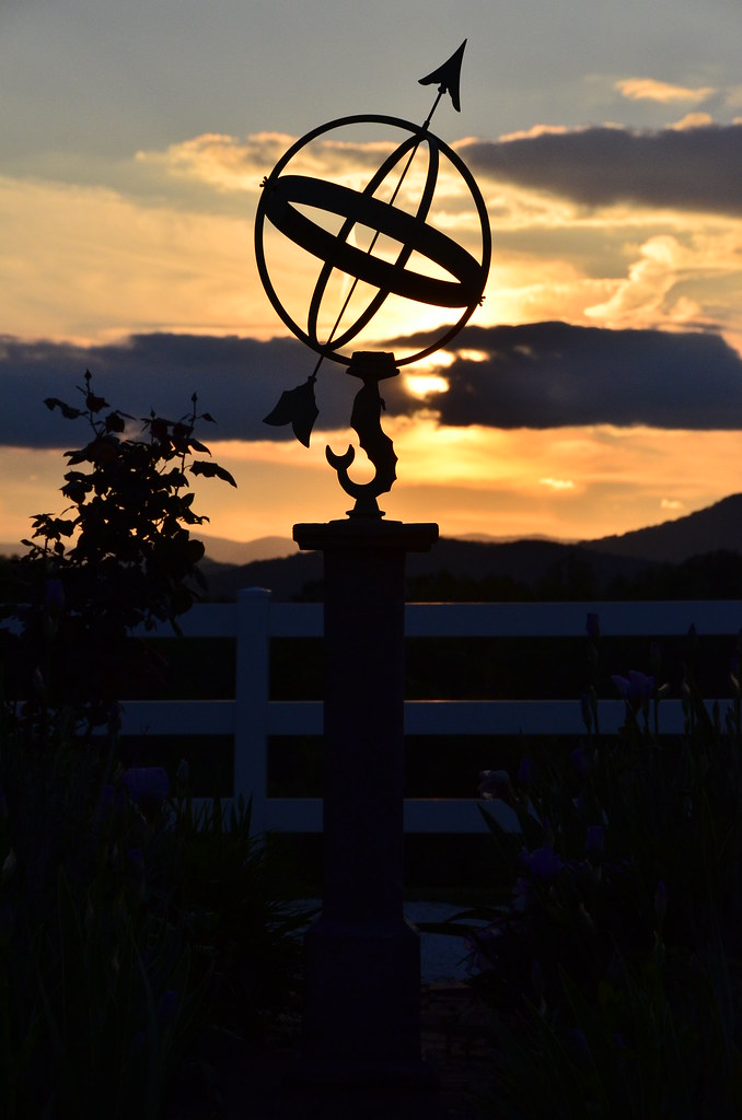
Sundial at Sunset

Autumn Mnt View with Glasses

sunset sundial

View of the drained Swimming Lake from the Boating Lake dam.

Tree with Mushrooms in Landrum, SC
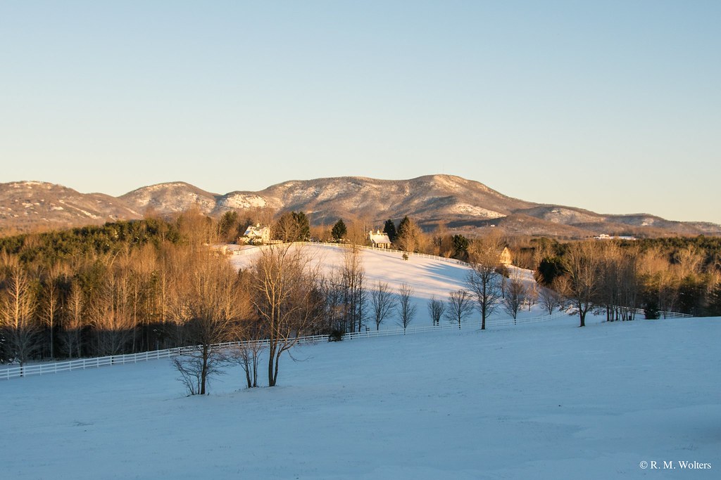
RHI Snow Day
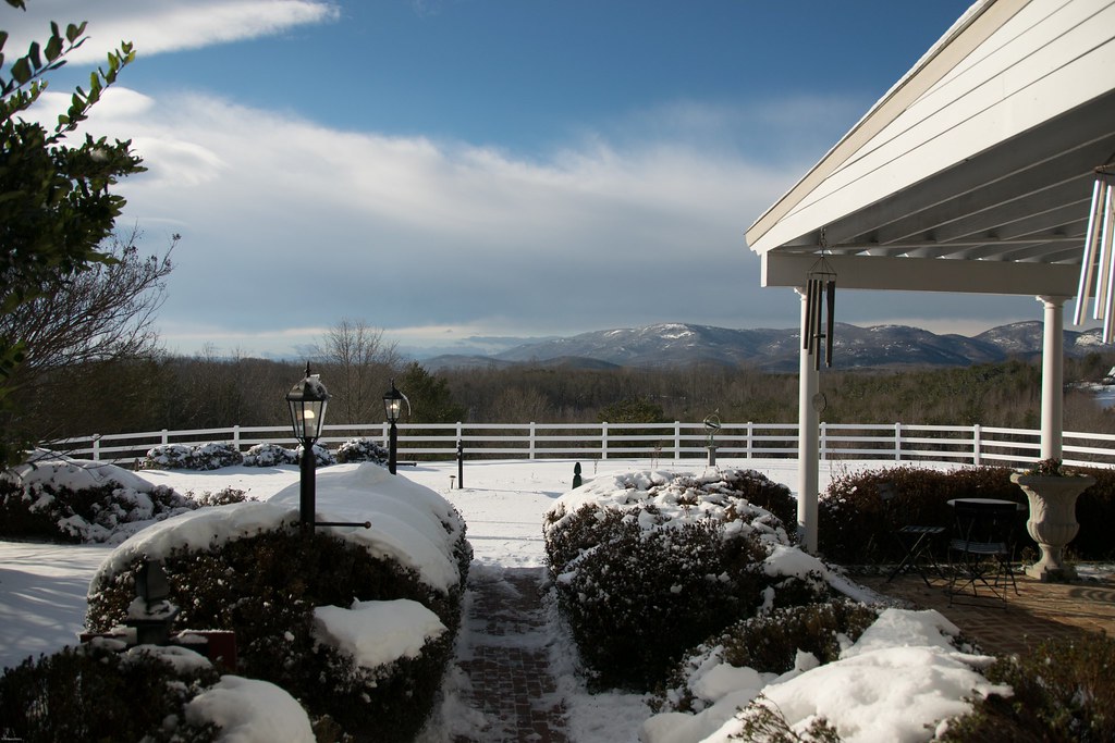
Snowy Day
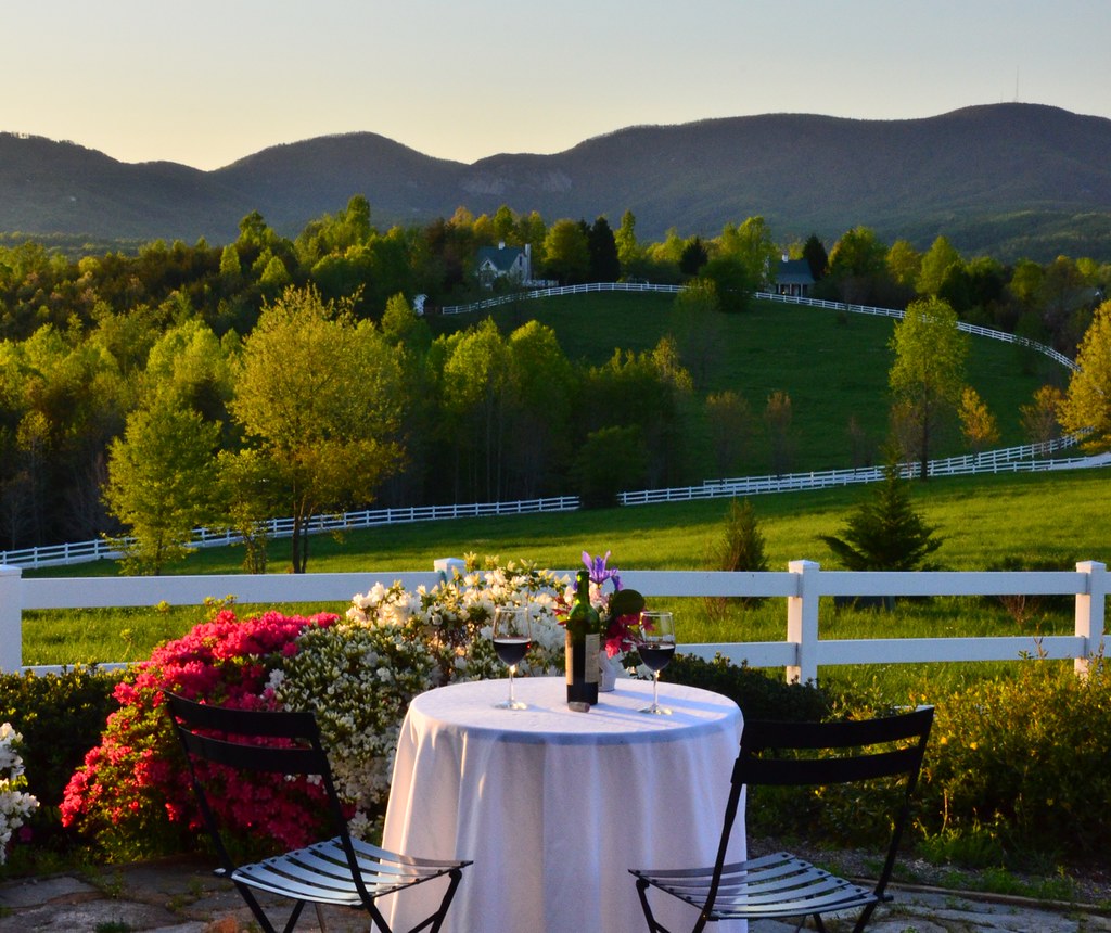
Wine Glass Table Moutains

september evening hayloft with mountain
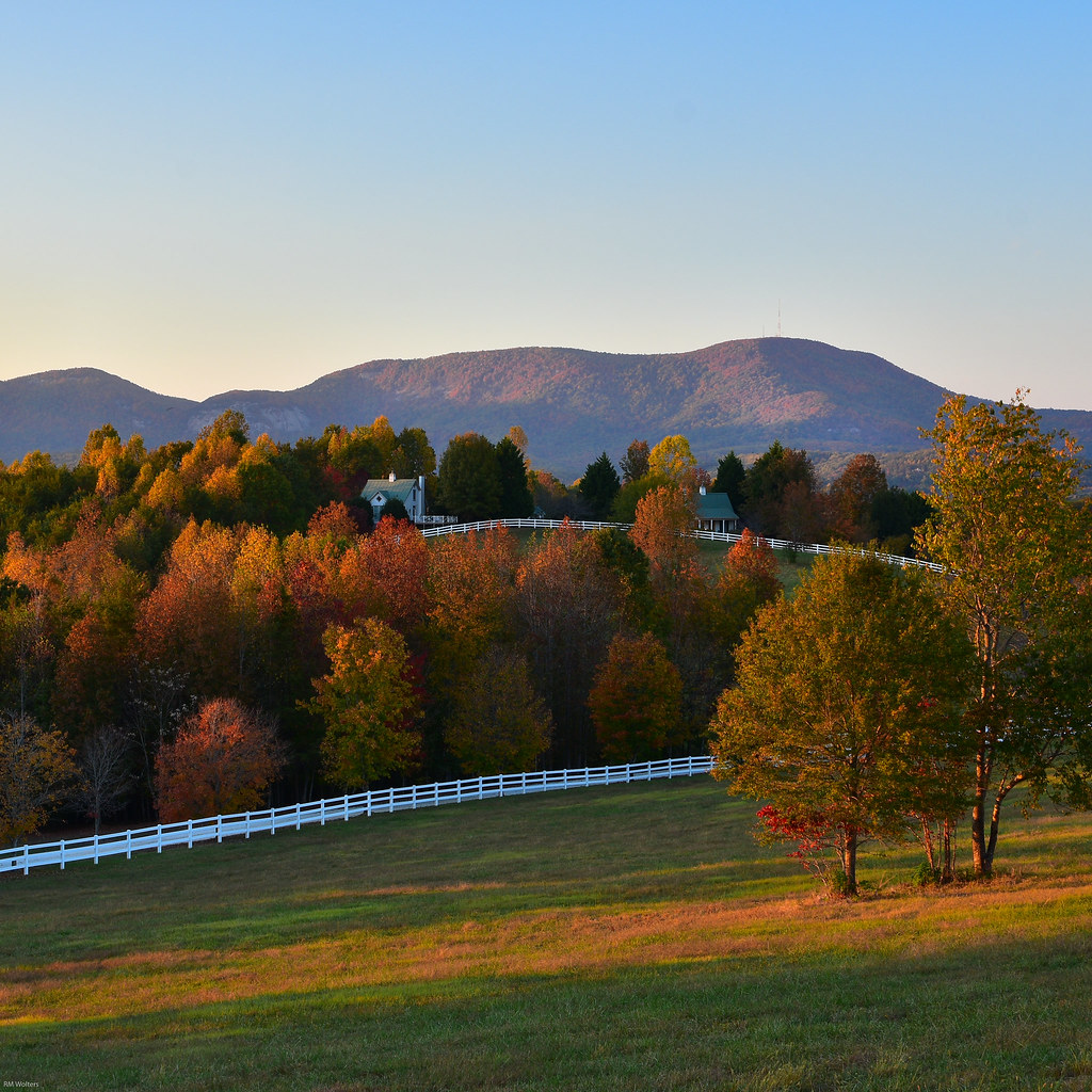
Fall Pasture

Federal Sign & Signal Model 5T - Campobello, SC

PEARSON'S FALLS BLUE RIDGE MOUNTAINS ~ N.C.

Pearson Lower New Trail - Read Description
In a Hurry
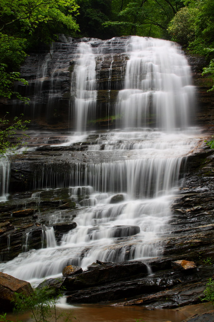
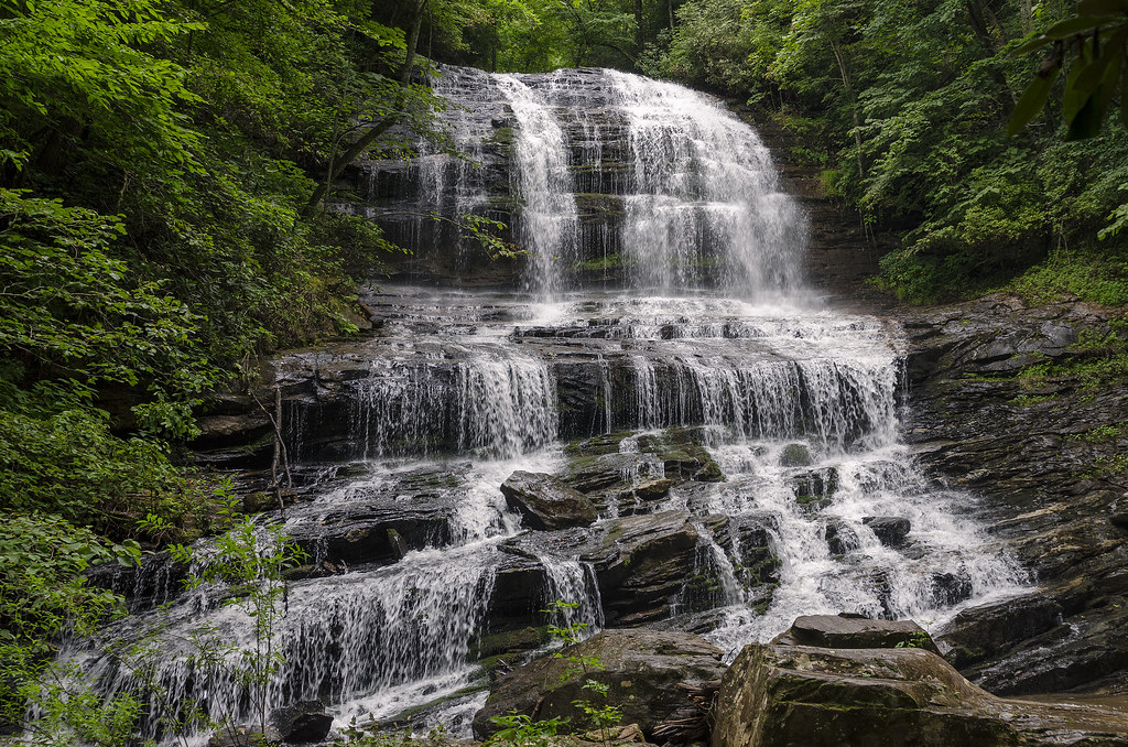
Pearson's Falls

The Hayloft Cottage
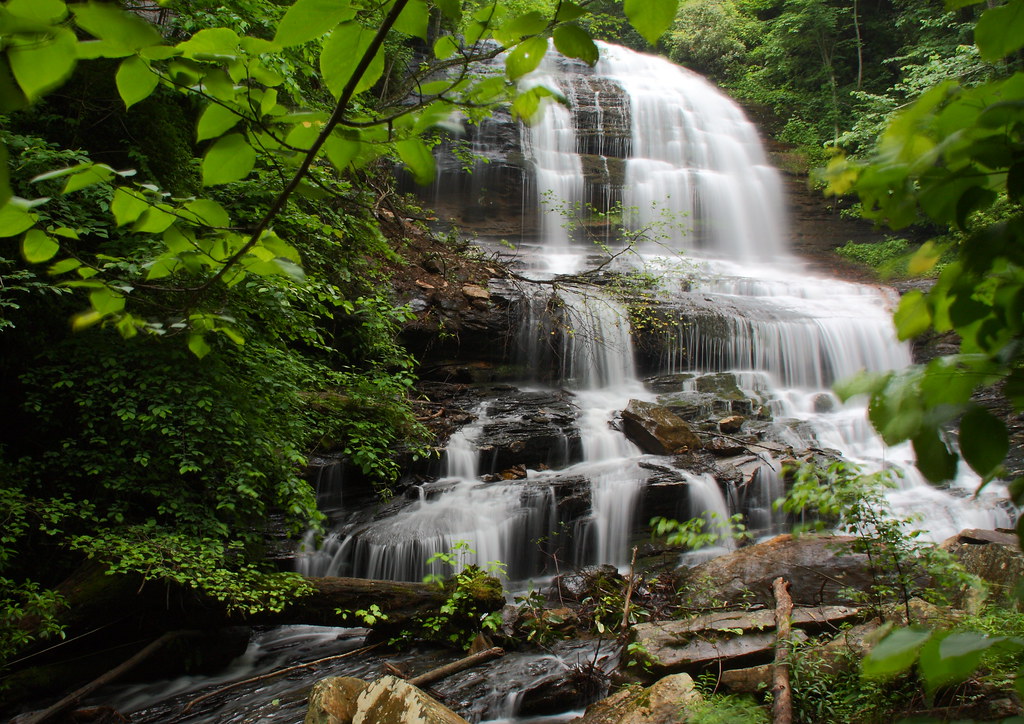
Pearson's Falls-through the Trees

Crape Myrtle

The Grainary Cottage
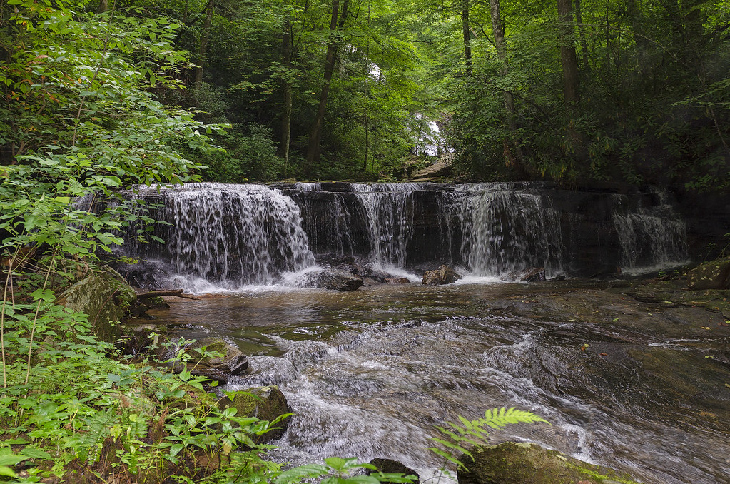
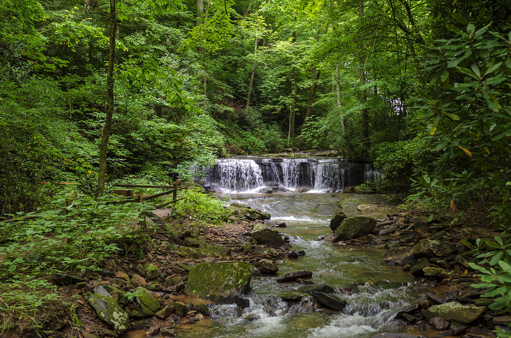
Gentle Falls on the North Pacolet River
Falls Along the Pacolet
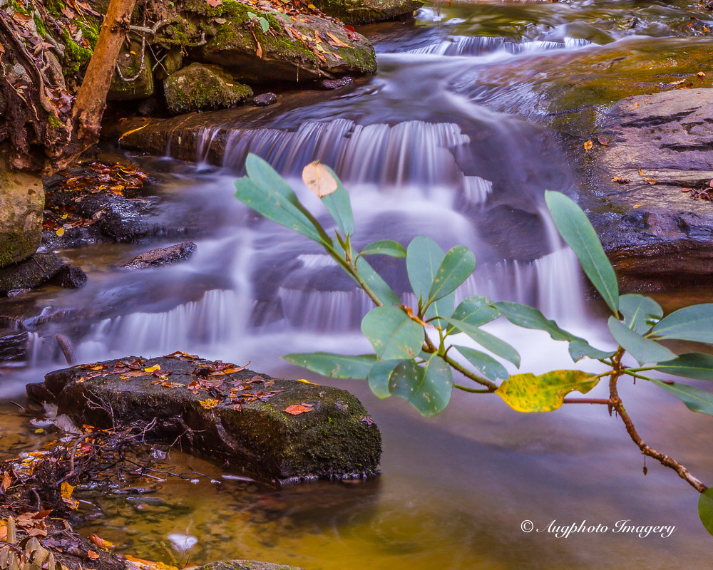
Poinsett Cascade

Poinsett Flow
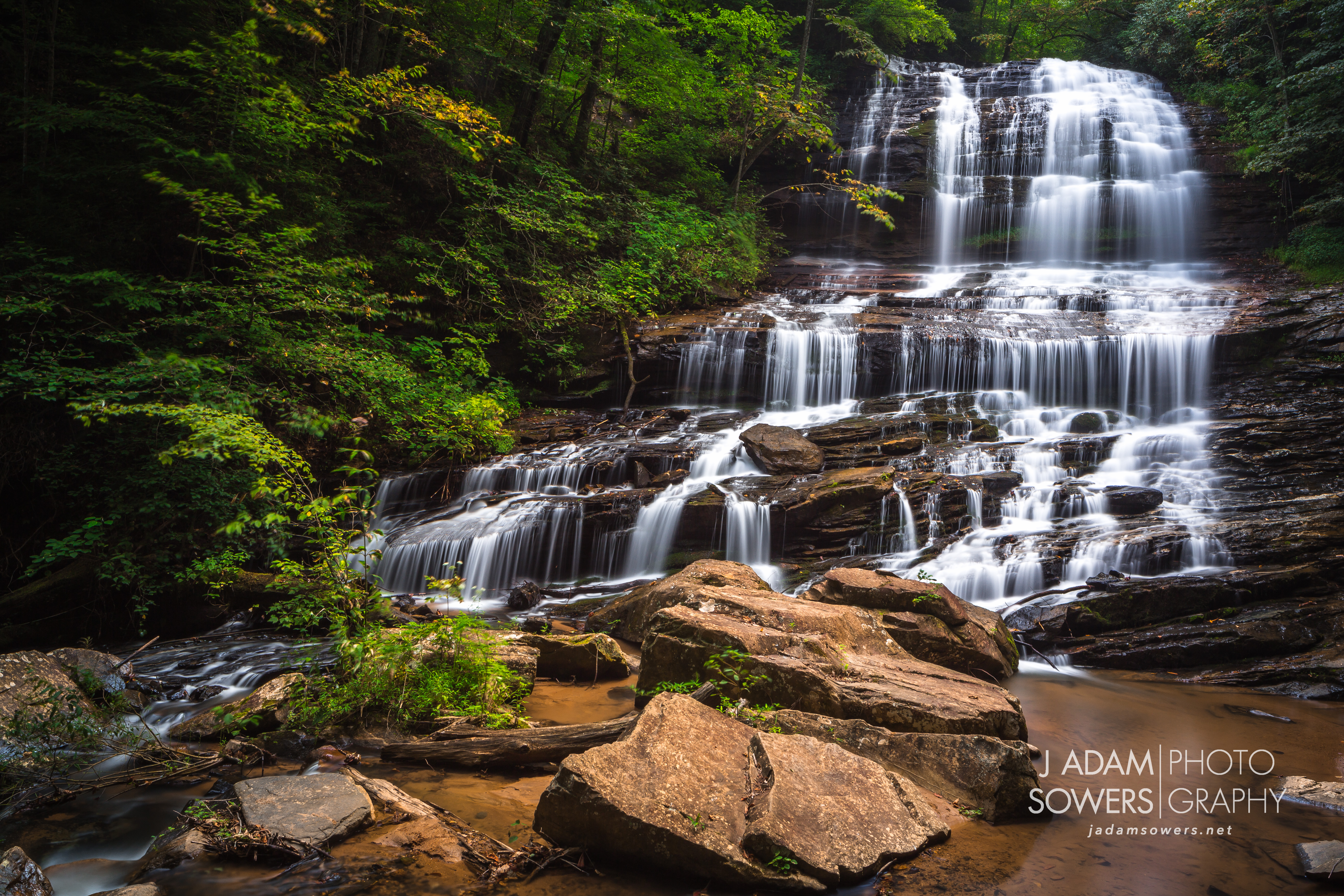
Pearson's Falls

Early morning at DuPont Forest
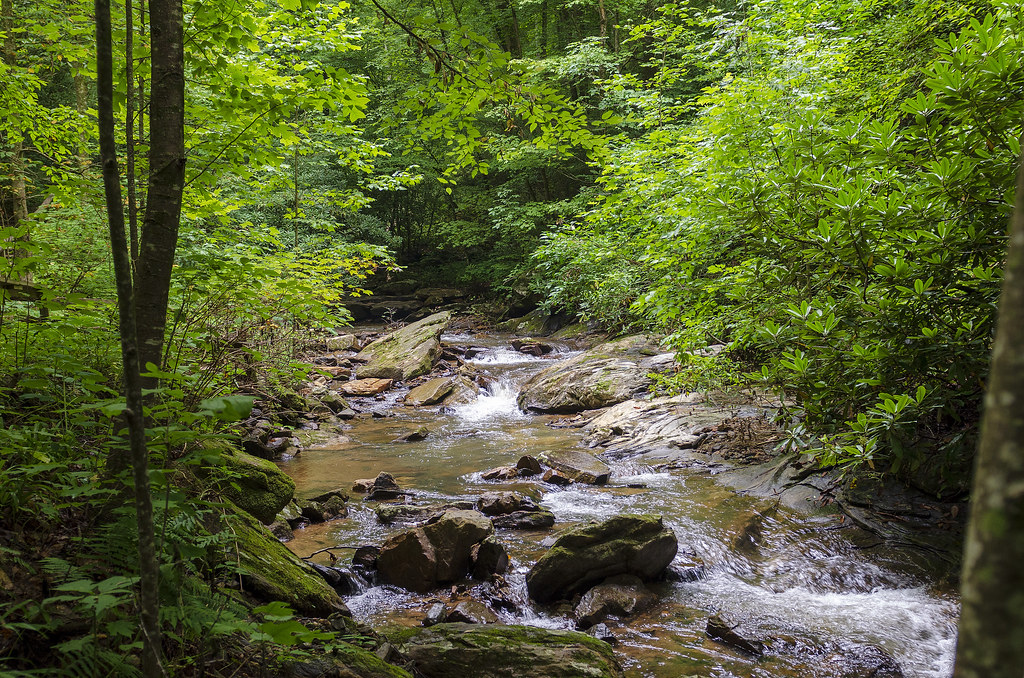
Gentle North Pacolet
North Pacolet River II

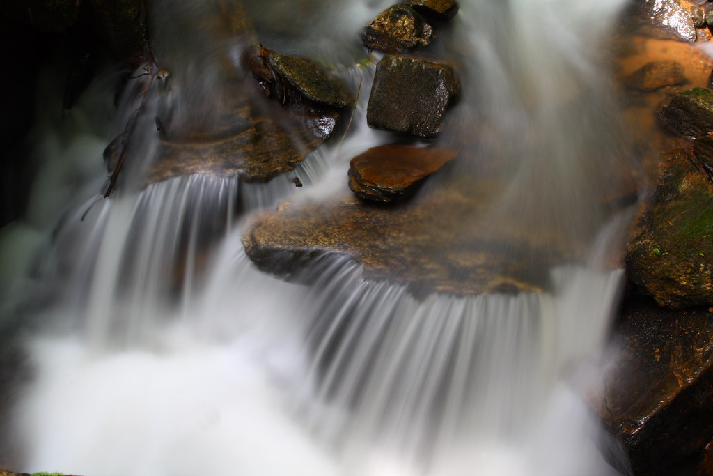
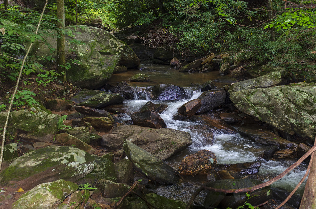
Water Dancing on the Rocks

Pearsons Falls
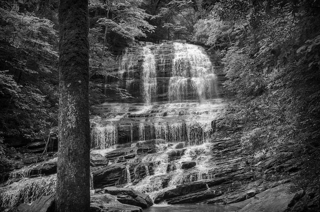
Pearson Falls - BW
Peaceful Trail

Small Waterfall at Pearson's Falls

Bradley Falls creek

North Saluda Reservoir
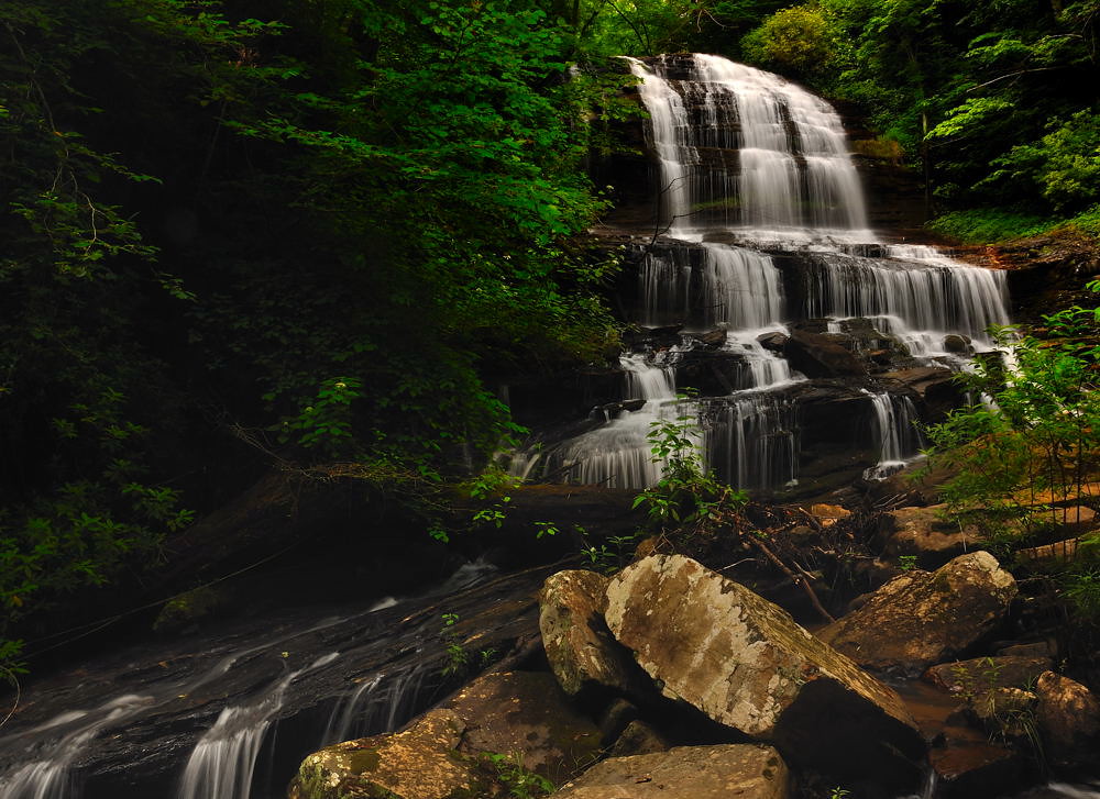
Pearson's Falls, N.C.
Topographic Map of Caledonia Rd, Landrum, SC, USA
Find elevation by address:

Places near Caledonia Rd, Landrum, SC, USA:
177 Caledonia Rd
100 Glenwalden Cir
275 Glenwalden Cir
811 Carolina Dr
592 Braewick Rd
44 Jervey Rd
1235 Braewick Rd
766 Carolina Dr
1901 W Lakeshore Dr
726 E Lakeshore Dr
1885 W Lakeshore Dr
120 Thousand Pines Ln
Laurel Way
Lake Lanier
215 S Trade St
430 Glenolden Dr
335 Melrose Ave
364 Melrose Ave
336 Melrose Ave
312 Dug Hill Rd
Recent Searches:
- Elevation of Kambingan Sa Pansol Atbp., Purok 7 Pansol, Candaba, Pampanga, Philippines
- Elevation of Pinewood Dr, New Bern, NC, USA
- Elevation of Mountain View, CA, USA
- Elevation of Foligno, Province of Perugia, Italy
- Elevation of Blauwestad, Netherlands
- Elevation of Bella Terra Blvd, Estero, FL, USA
- Elevation of Estates Loop, Priest River, ID, USA
- Elevation of Woodland Oak Pl, Thousand Oaks, CA, USA
- Elevation of Brownsdale Rd, Renfrew, PA, USA
- Elevation of Corcoran Ln, Suffolk, VA, USA