Elevation of CA-, Somis, CA, USA
Location: United States > California > Ventura County > Somis >
Longitude: -119.08111
Latitude: 34.2636699
Elevation: 86m / 282feet
Barometric Pressure: 100KPa
Elevation Map:
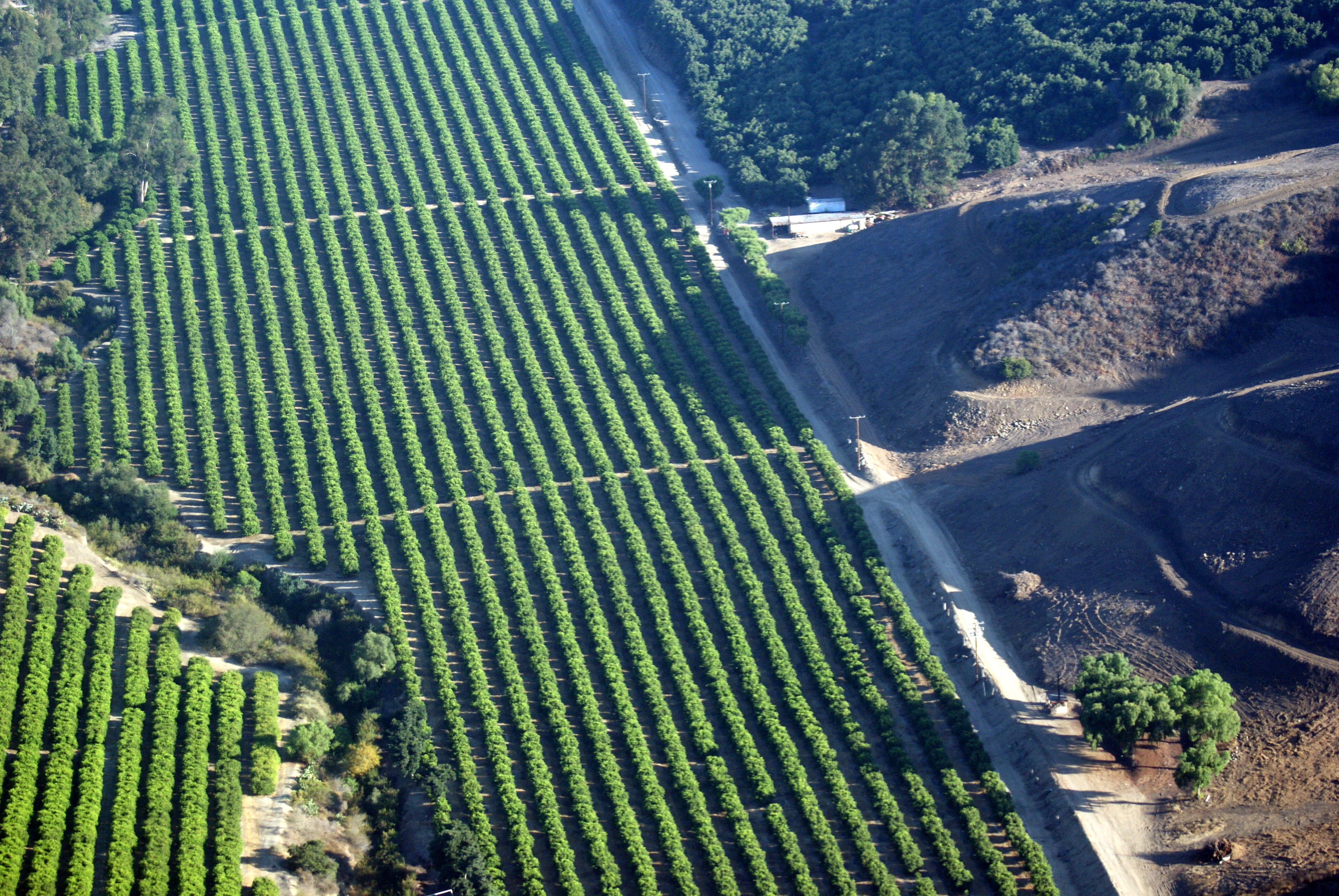
Satellite Map:
Related Photos:
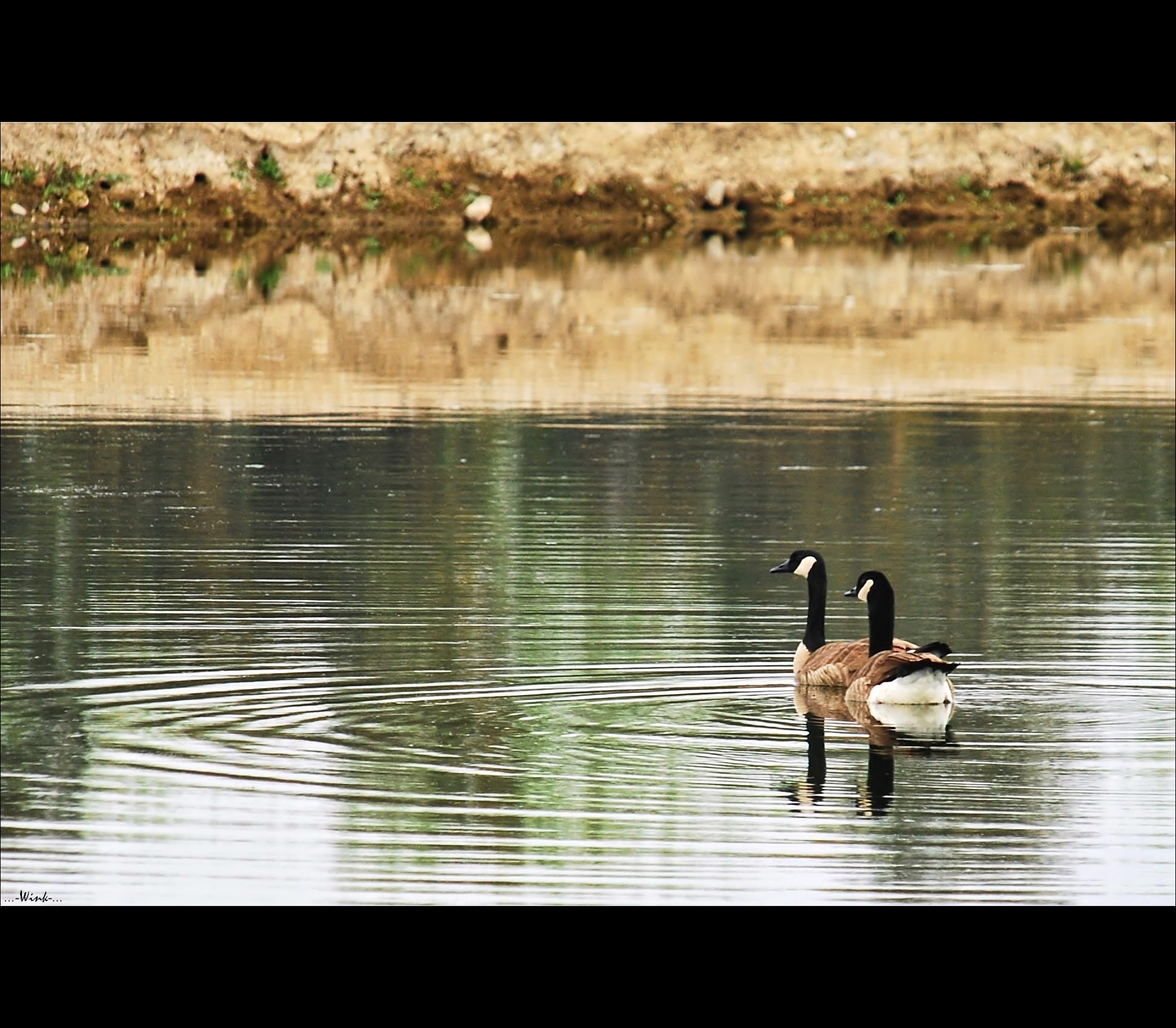
Goose me

PBJ...another view

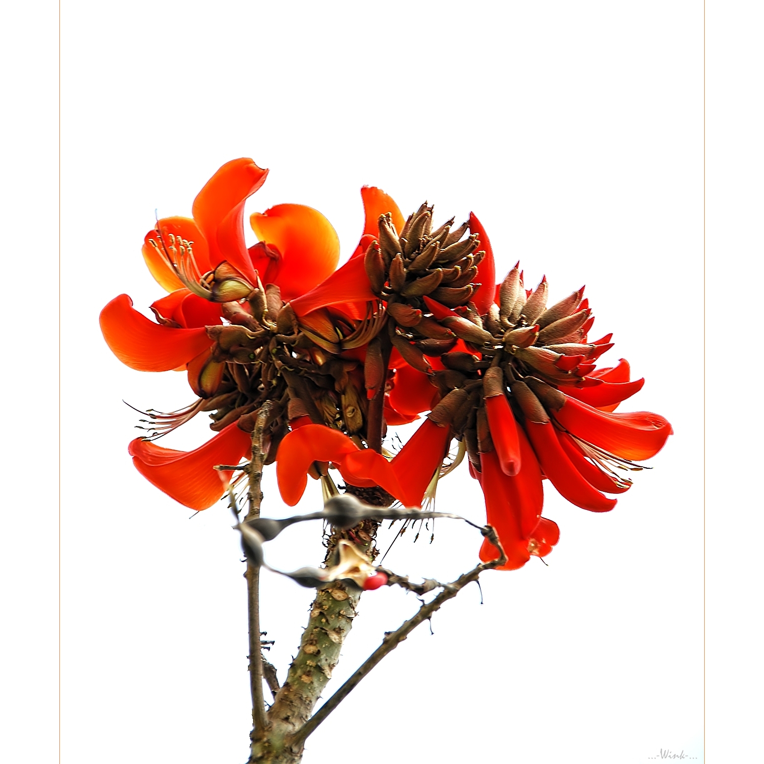
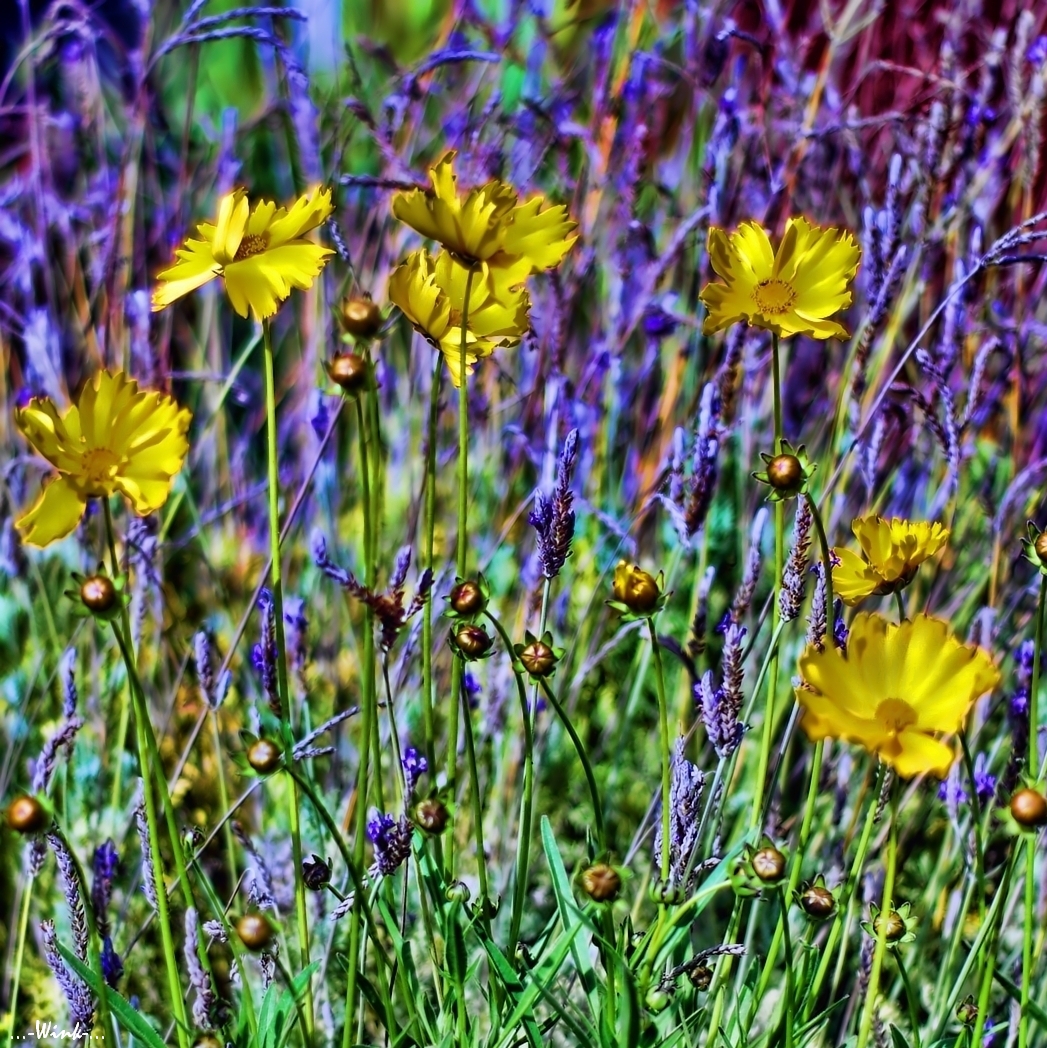
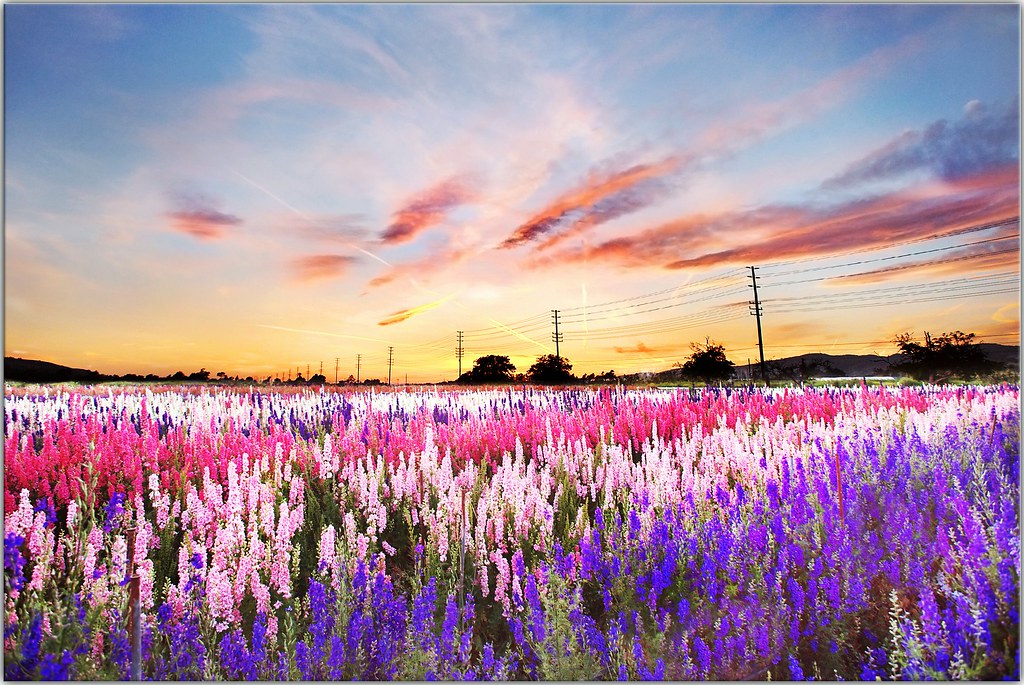
Frame full of Flowers

Throwdown Response

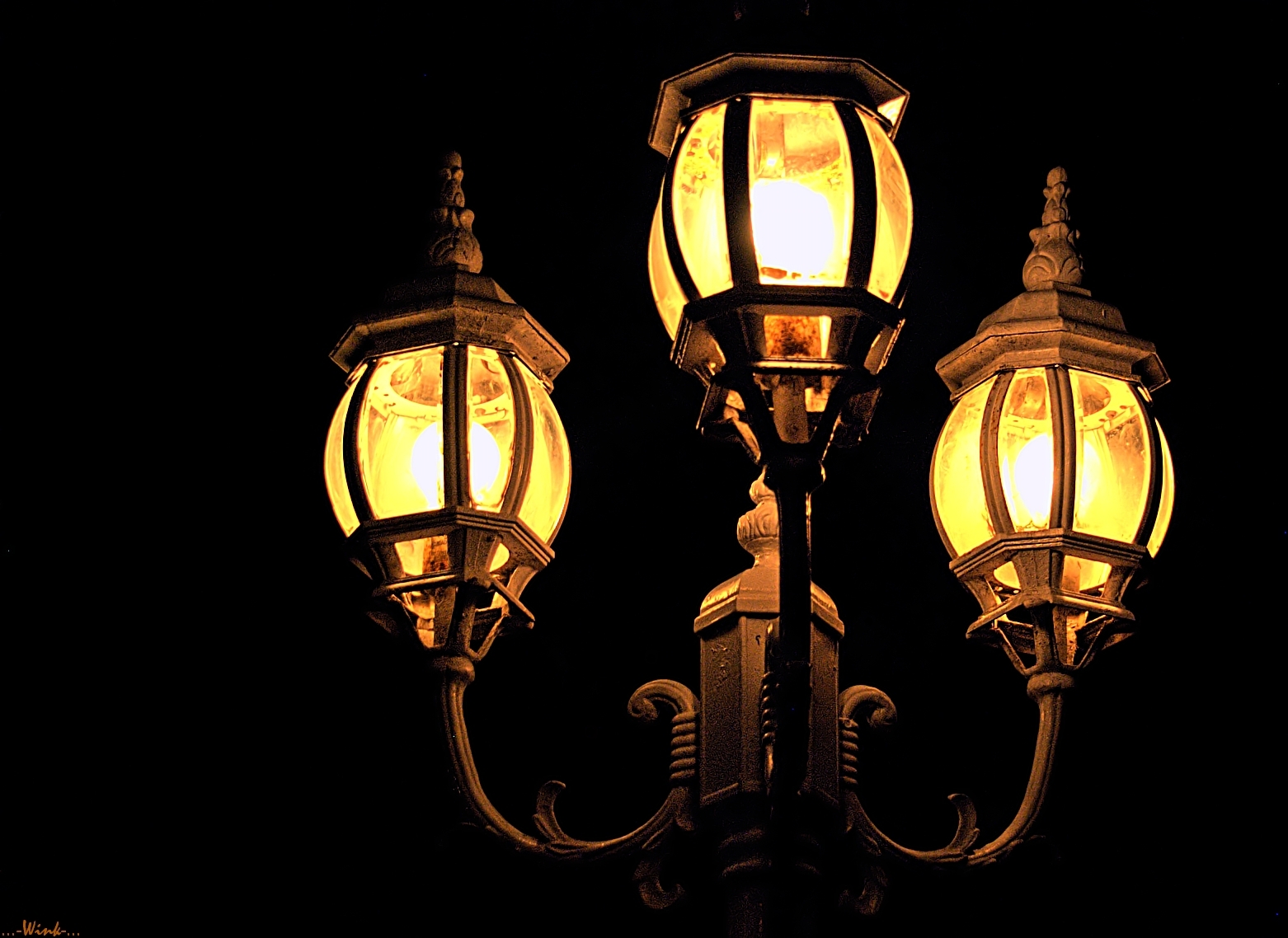
bright night blues
On White
On Black

my favorite color, cherry red

P-51 front view
Spring Incident
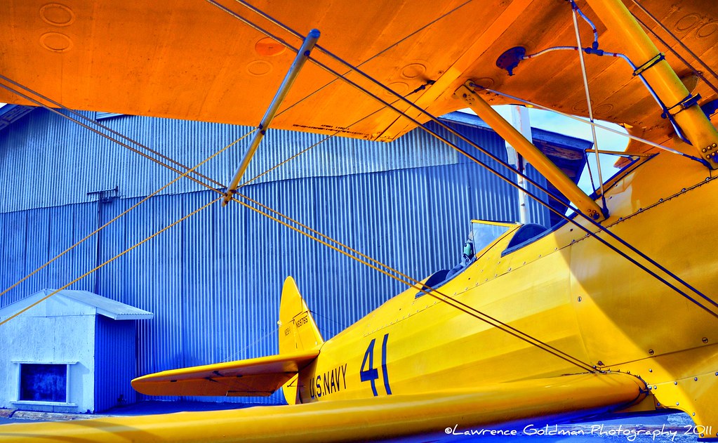
Under the Top Wing of a Yellow Stearman Bi-Plane hdr
The Gang
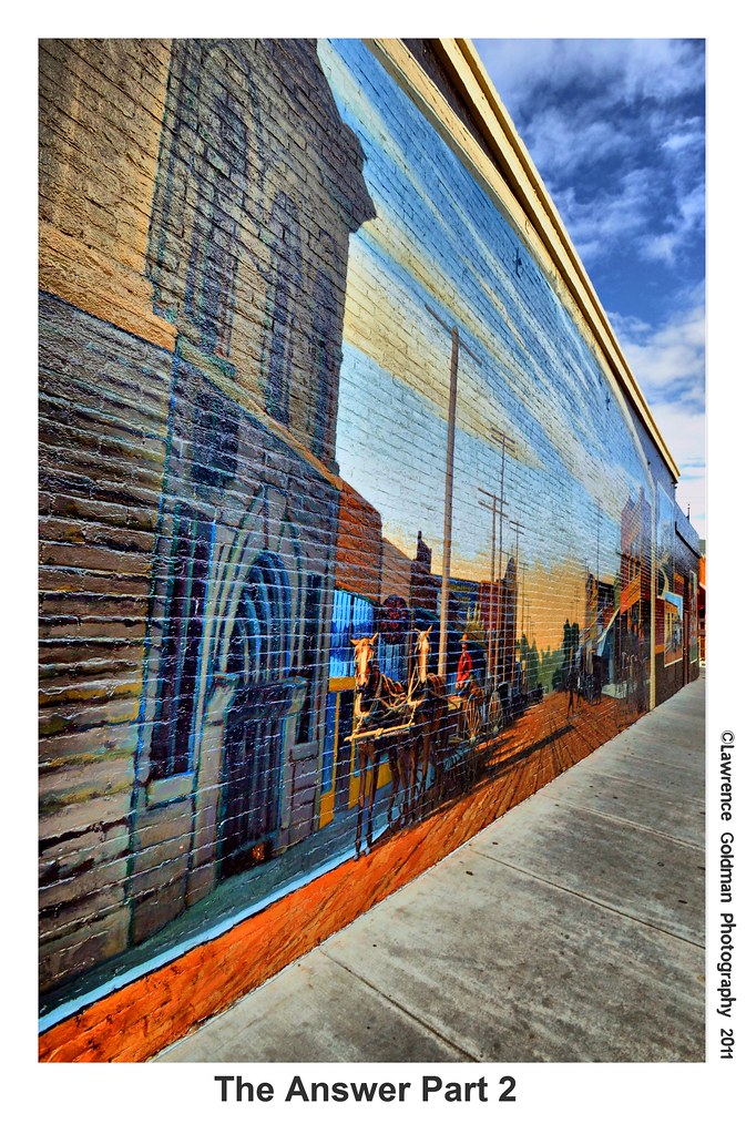
The Answer Part 2 hdr

Aerial Views - Oxnard and Ventura at Dusk
a pleading look, like an old dog at the pound
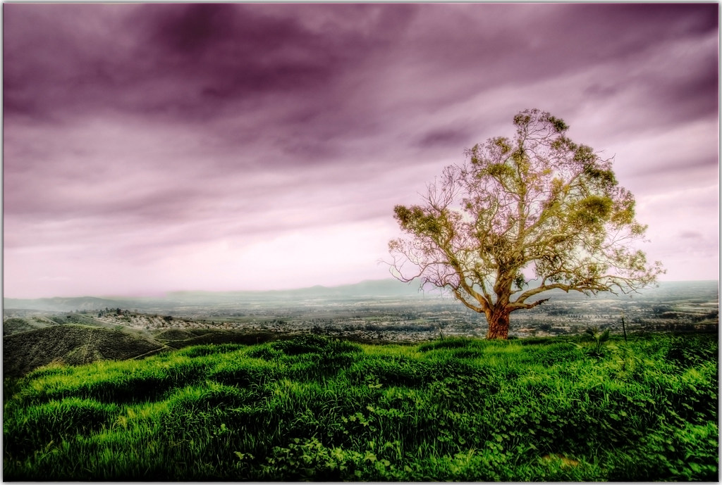
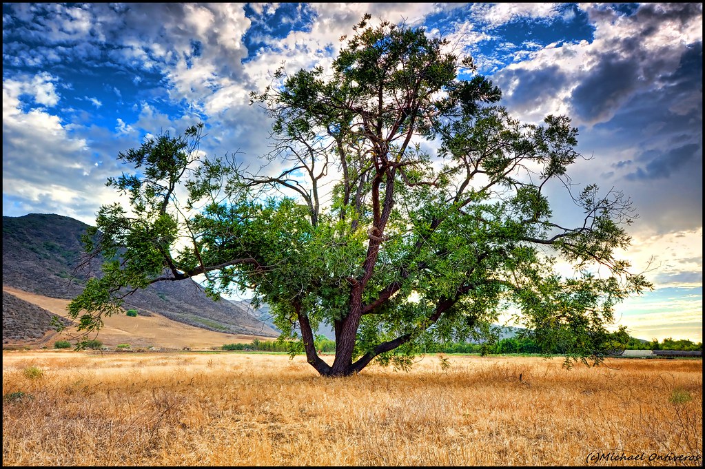
Just One Tree
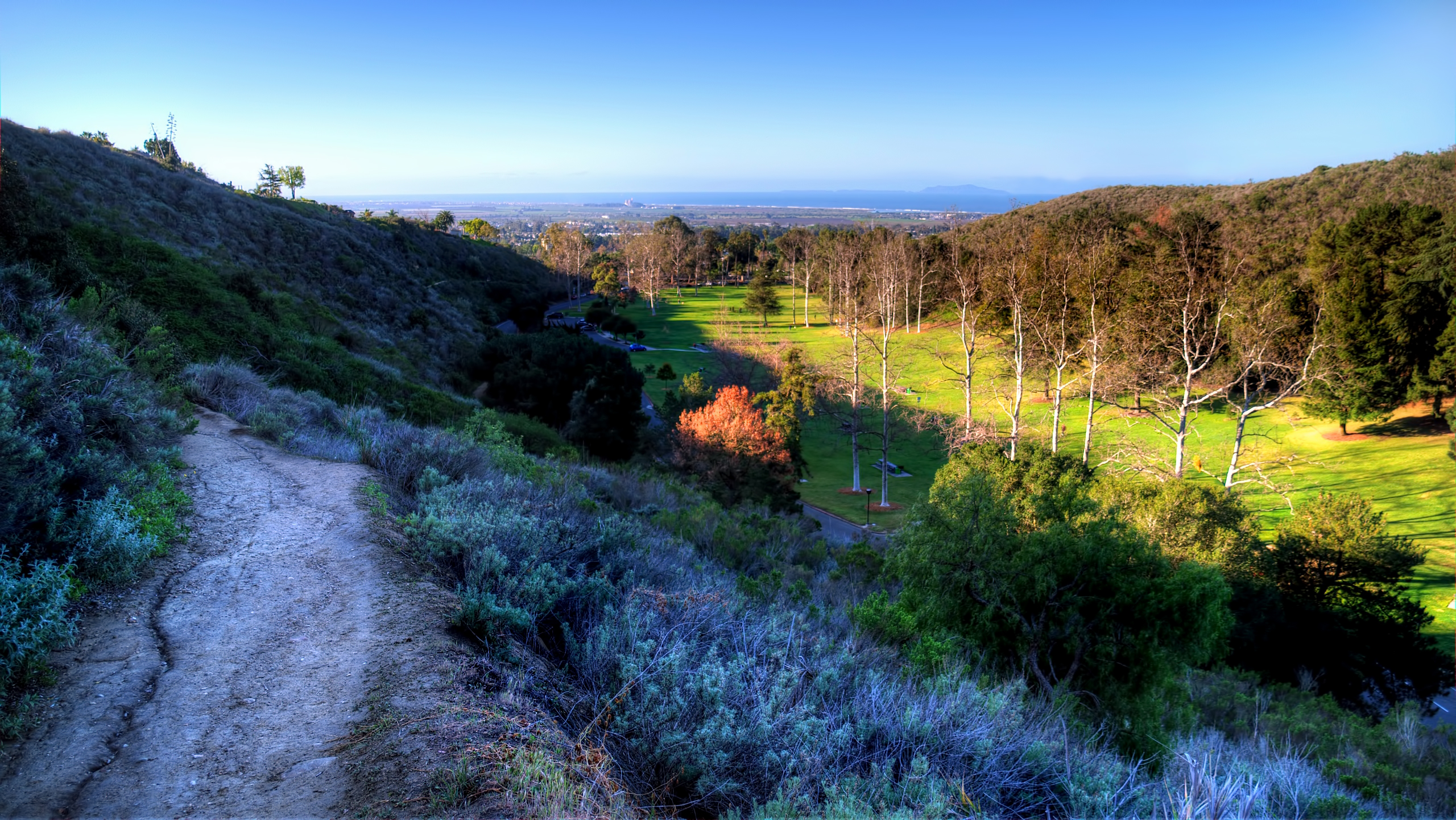
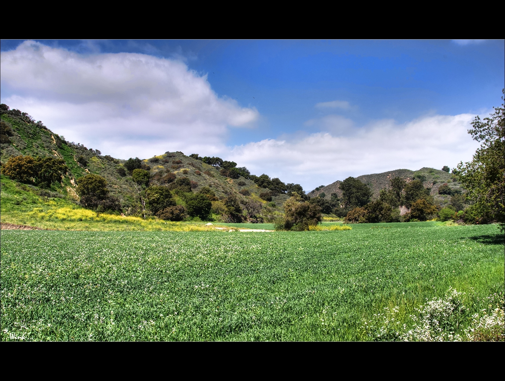
Arroyo Verde Park, three
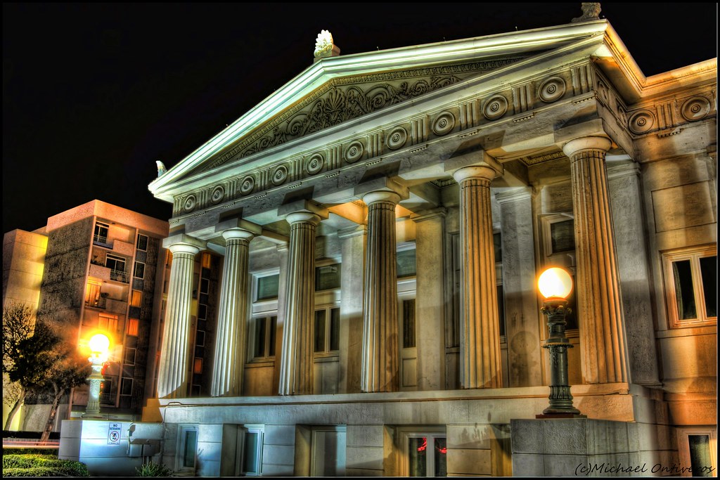
HDR - Musuem
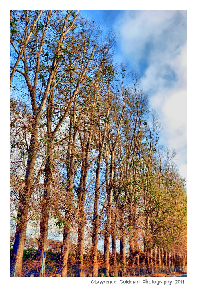
Tree Line hdr

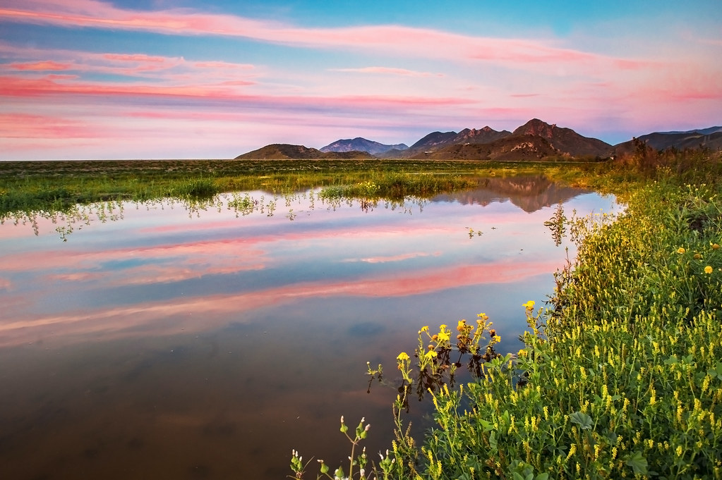
summer sunset greetings from Ventura

"I'm Defying Gravity"
Sick of the Weekend
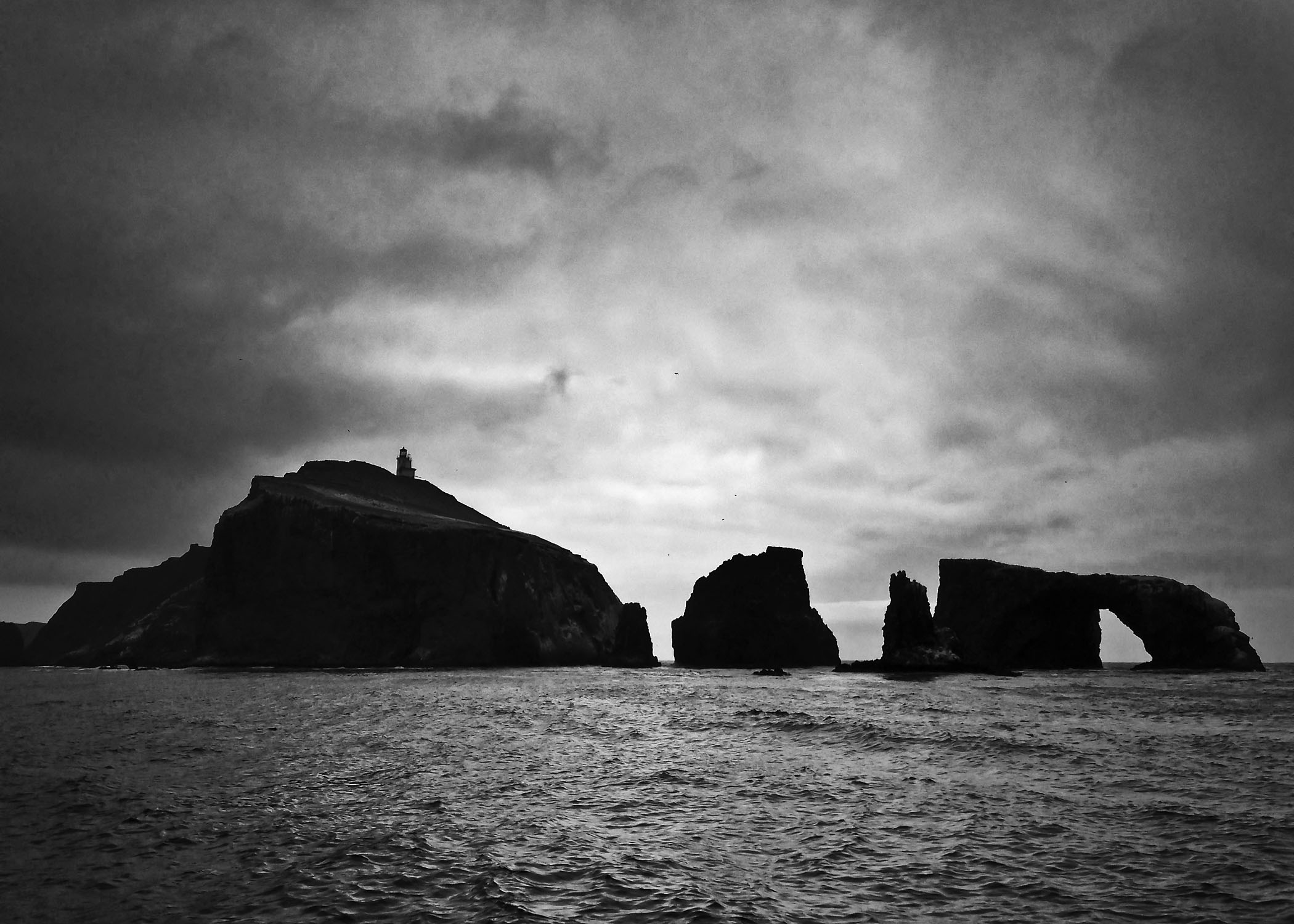
Anacapa Island
Does this sunset make you thorny?

IMG_6149.JPG
After the Storm
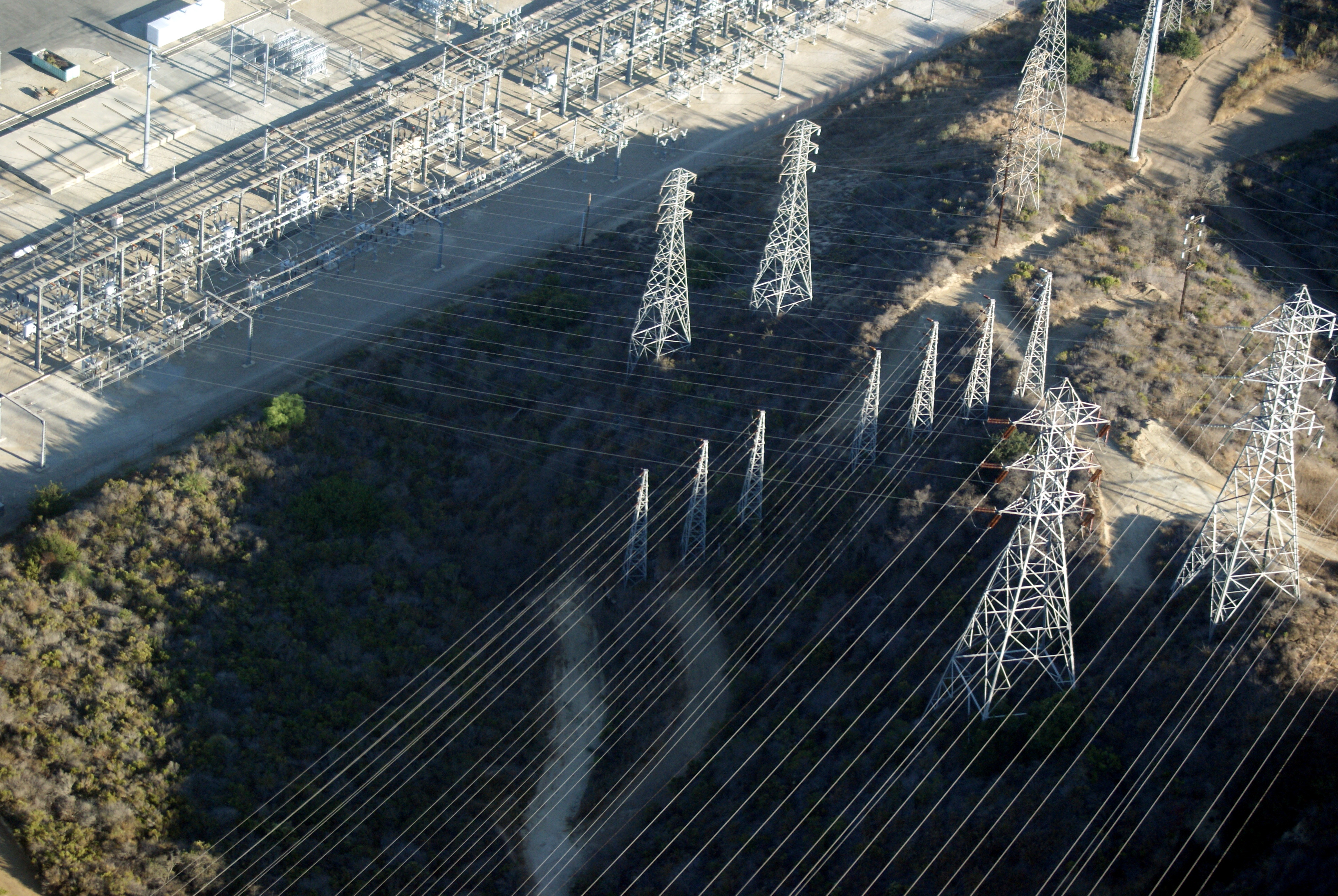
All lined up

Red Weekend
My Day Off

IMAGE_216B9041-96C5-4BD5-8180-91E33004C216
Santa Rosa Tree
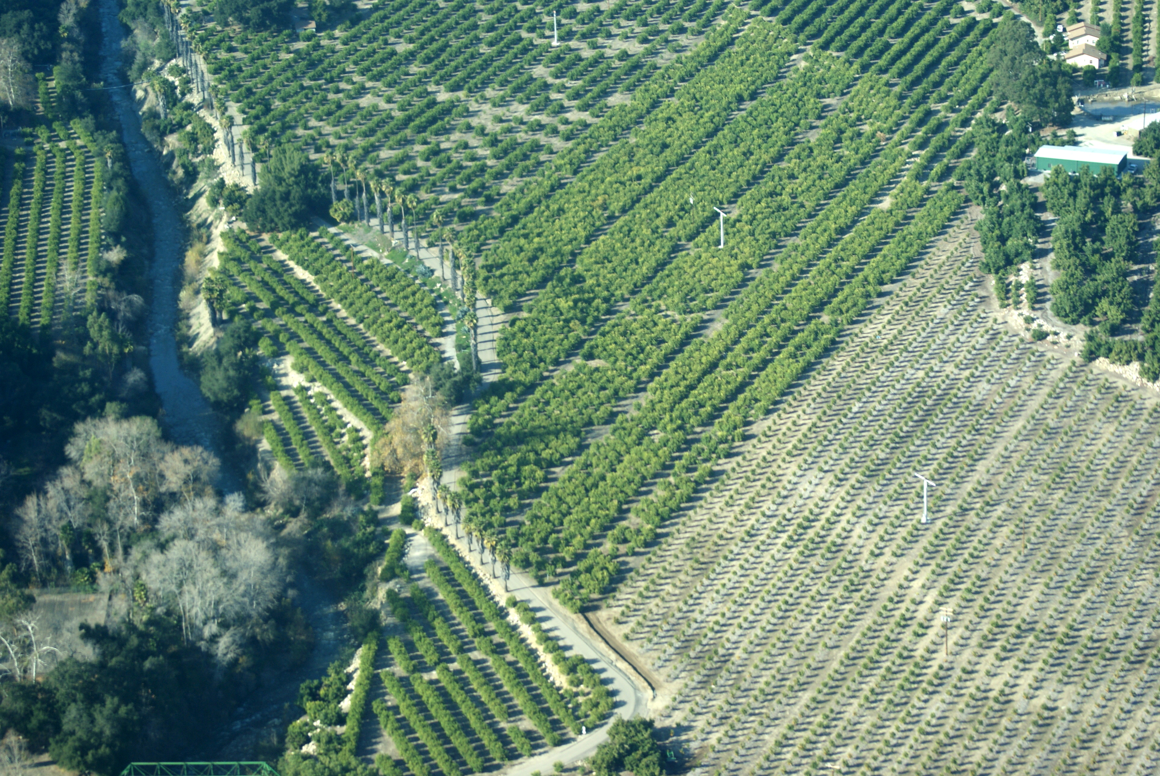
Aerial Flight with Mark
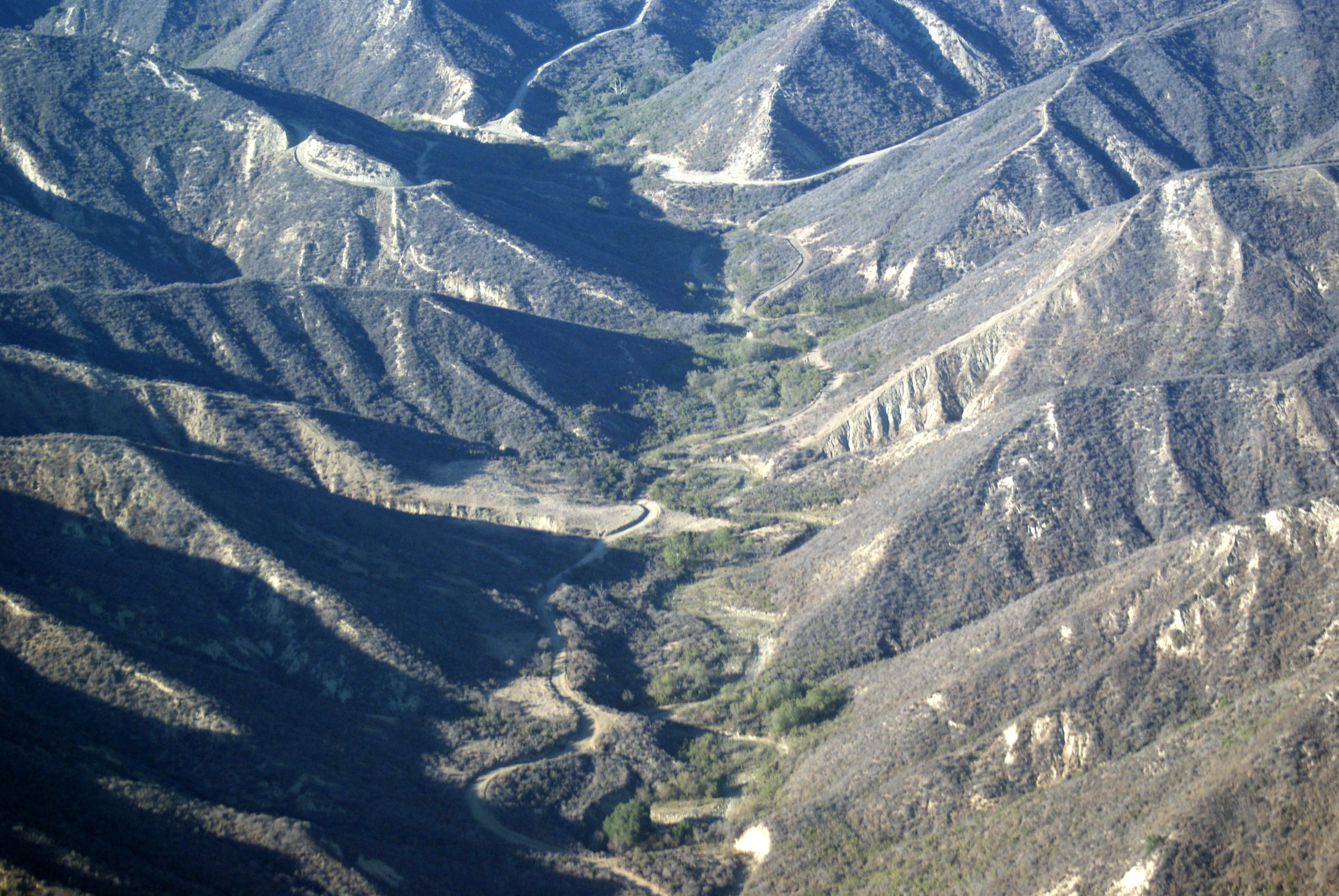
Aerial Flight with Mark
20171229_170930-01
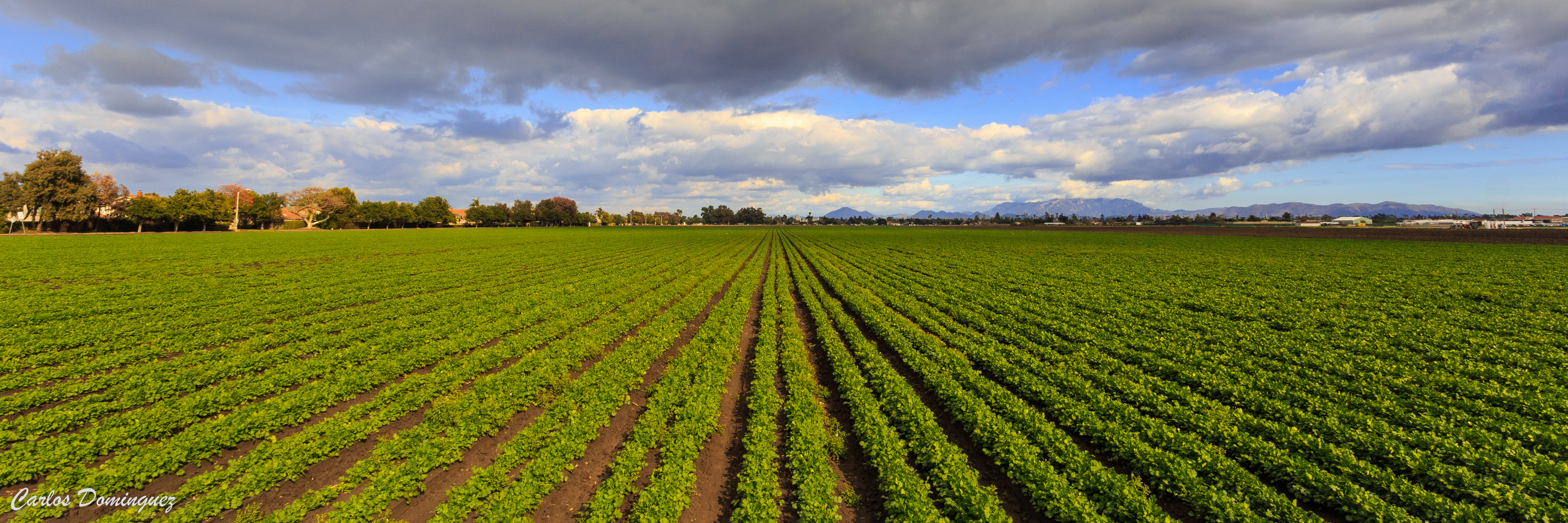
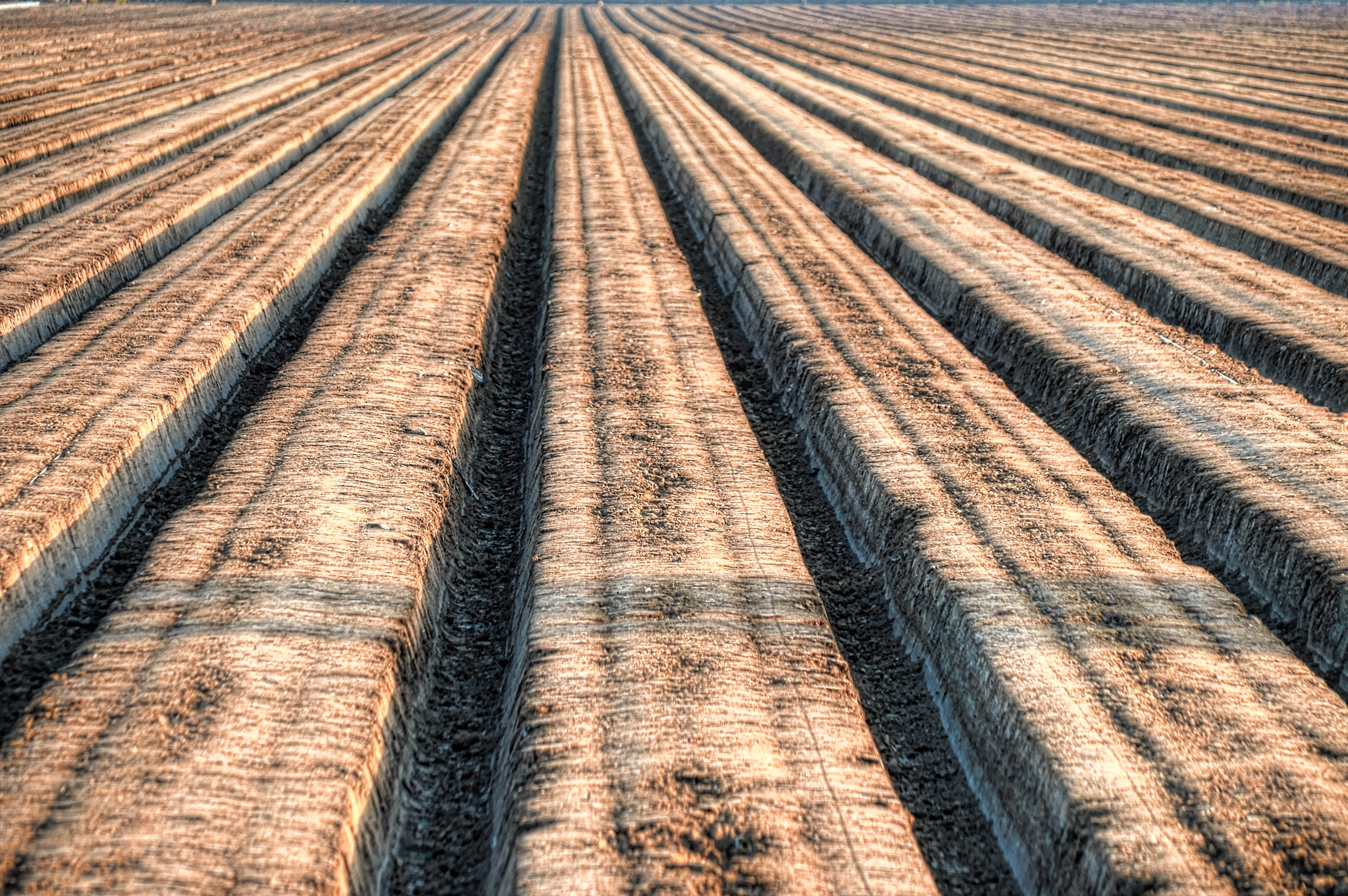
New Crop After the Storm
Picnic Anyone?
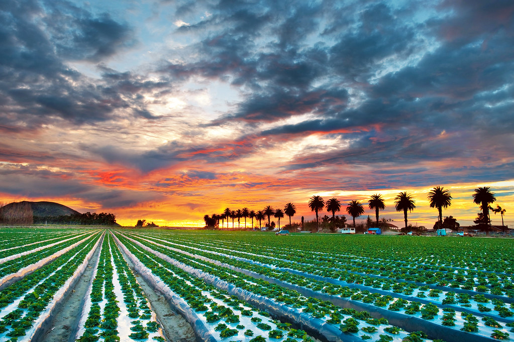
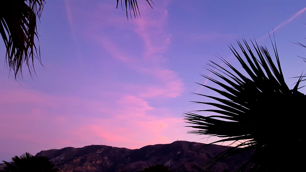
Palm Sunset
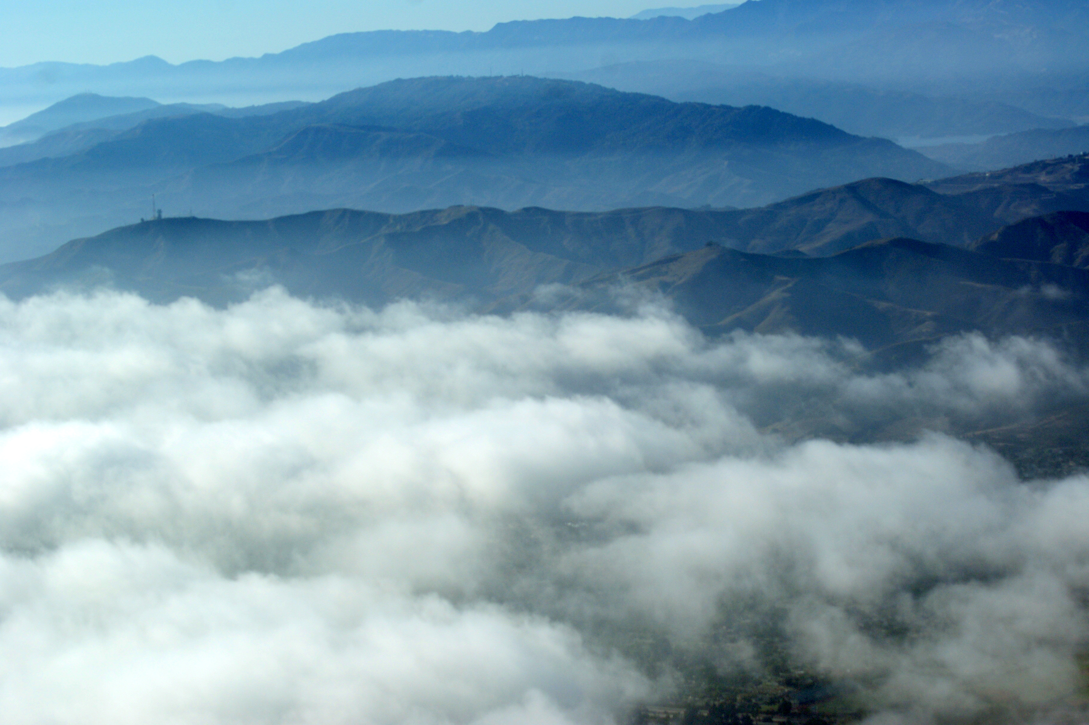
Los Padres Flight
Aerial Flight with Mark

Scary Dairy Lupine
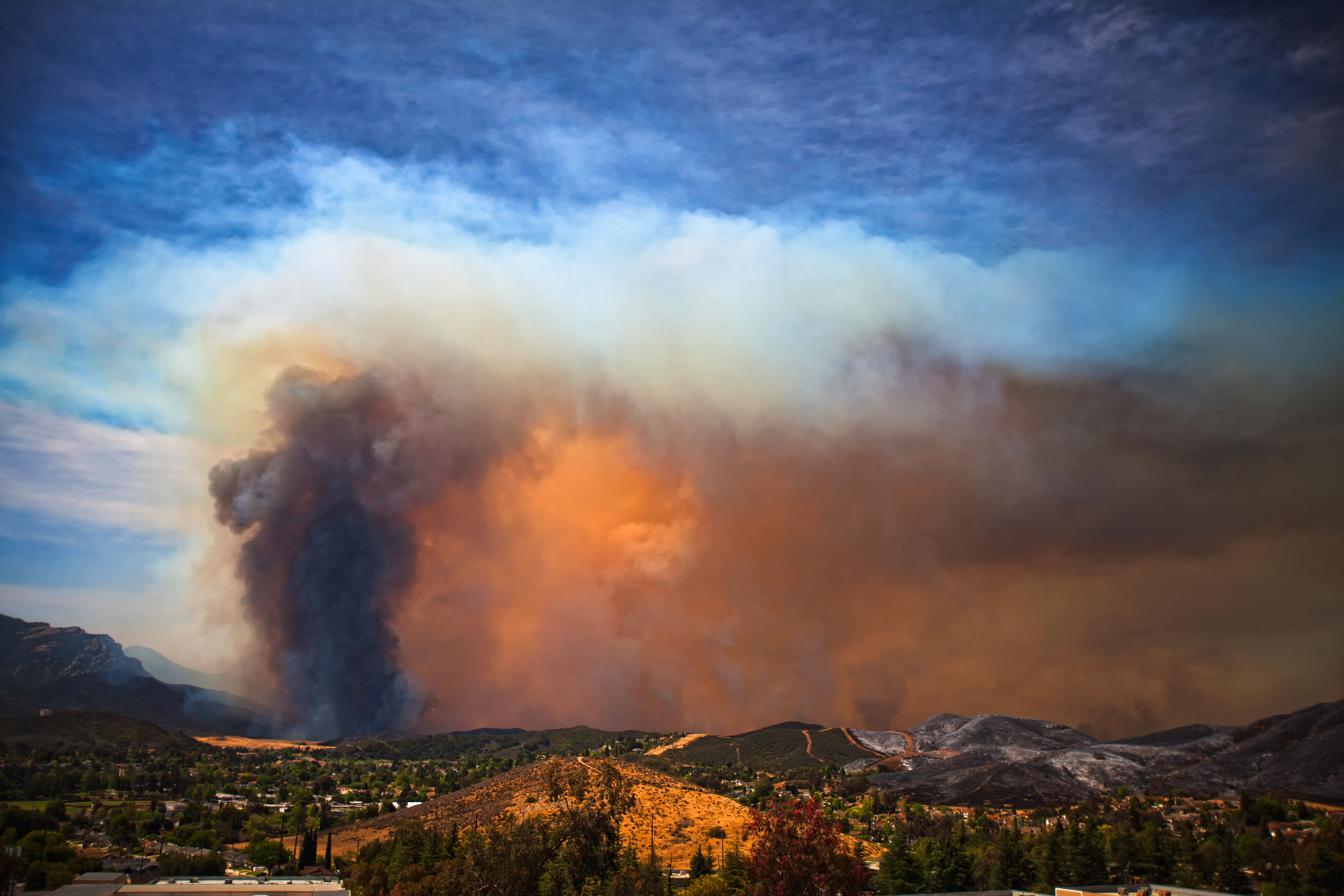
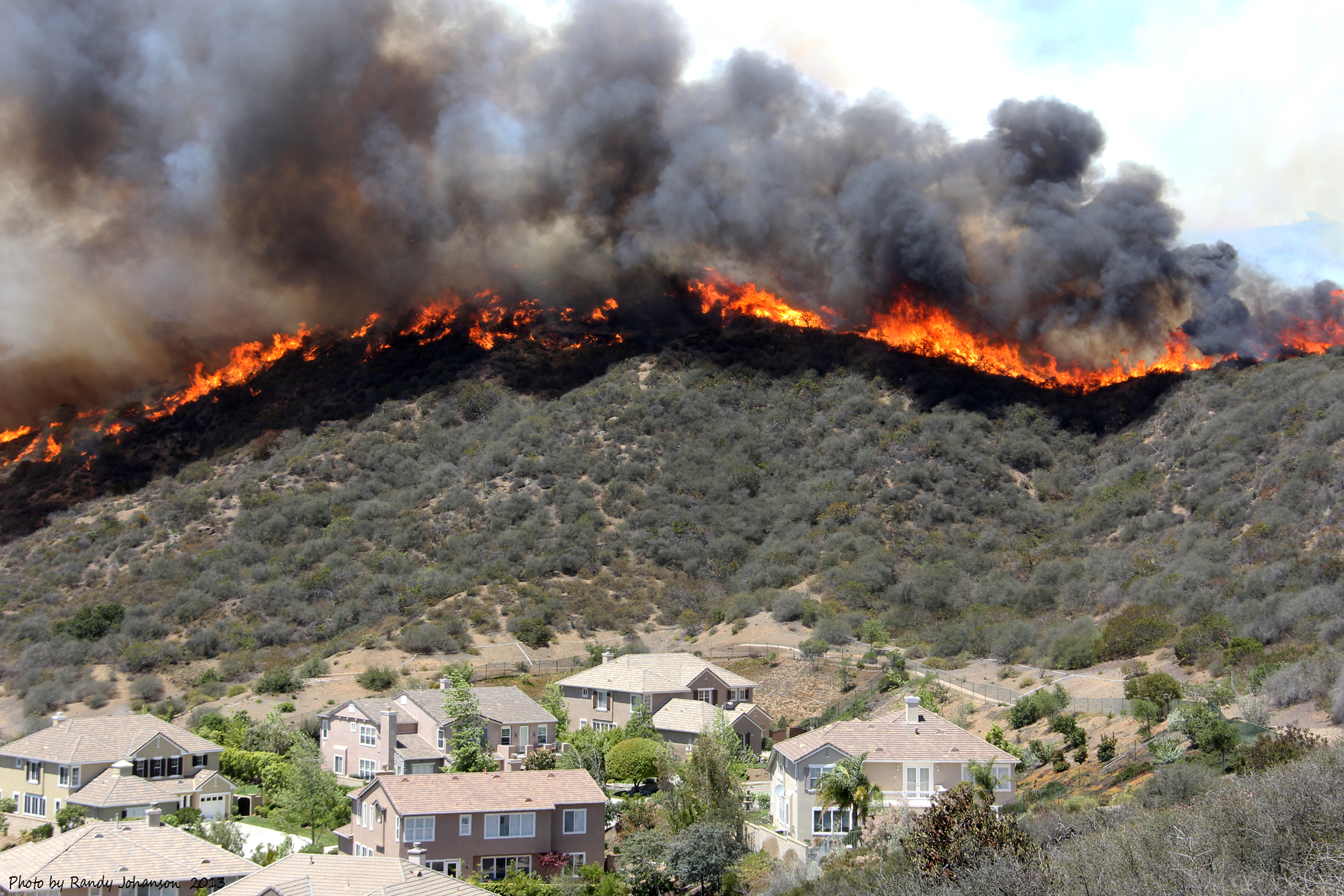
The Springs Fire
Aerial Flight with Mark
Topographic Map of CA-, Somis, CA, USA
Find elevation by address:

Places near CA-, Somis, CA, USA:
65 Los Angeles Ave
755 E Center Rd
289 E Los Angeles Ave
420 Valley Vista Dr
2768 La Plata Dr
Central Ave, Camarillo, CA, USA
Las Posas Road
1675 Edgewater Ln
425 Loma Dr
2553 Bogart St
Strickland
Camarillo
Eucalyptus Dr, Oxnard, CA, USA
Nyeland Acres
Perry Way, Oxnard, CA, USA
4008 Parron St
25 Si Se Puede, Ventura, CA, USA
Cabrillo Village
Calle Fronte, Camarillo, CA, USA
300 Lambert St
Recent Searches:
- Elevation of Unnamed Road, Respublika Severnaya Osetiya — Alaniya, Russia
- Elevation of Verkhny Fiagdon, North Ossetia–Alania Republic, Russia
- Elevation of F. Viola Hiway, San Rafael, Bulacan, Philippines
- Elevation of Herbage Dr, Gulfport, MS, USA
- Elevation of Lilac Cir, Haldimand, ON N3W 2G9, Canada
- Elevation of Harrod Branch Road, Harrod Branch Rd, Kentucky, USA
- Elevation of Wyndham Grand Barbados Sam Lords Castle All Inclusive Resort, End of Belair Road, Long Bay, Bridgetown Barbados
- Elevation of Iga Trl, Maggie Valley, NC, USA
- Elevation of N Co Rd 31D, Loveland, CO, USA
- Elevation of Lindever Ln, Palmetto, FL, USA