Elevation of CA-, Round Mountain, CA, USA
Location: United States > California > Shasta County > Round Mountain >
Longitude: -121.97905
Latitude: 40.779249
Elevation: 500m / 1640feet
Barometric Pressure: 95KPa
Elevation Map:
Satellite Map:
Related Photos:

snowy mountains
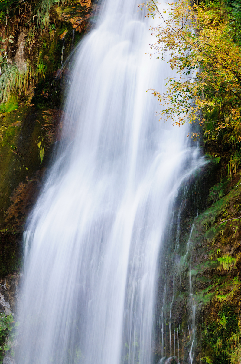
Sleep Walk
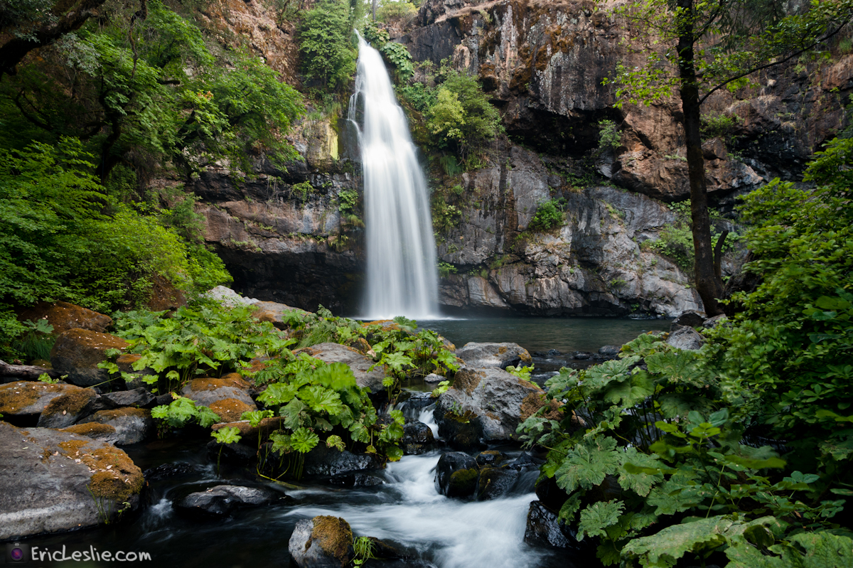
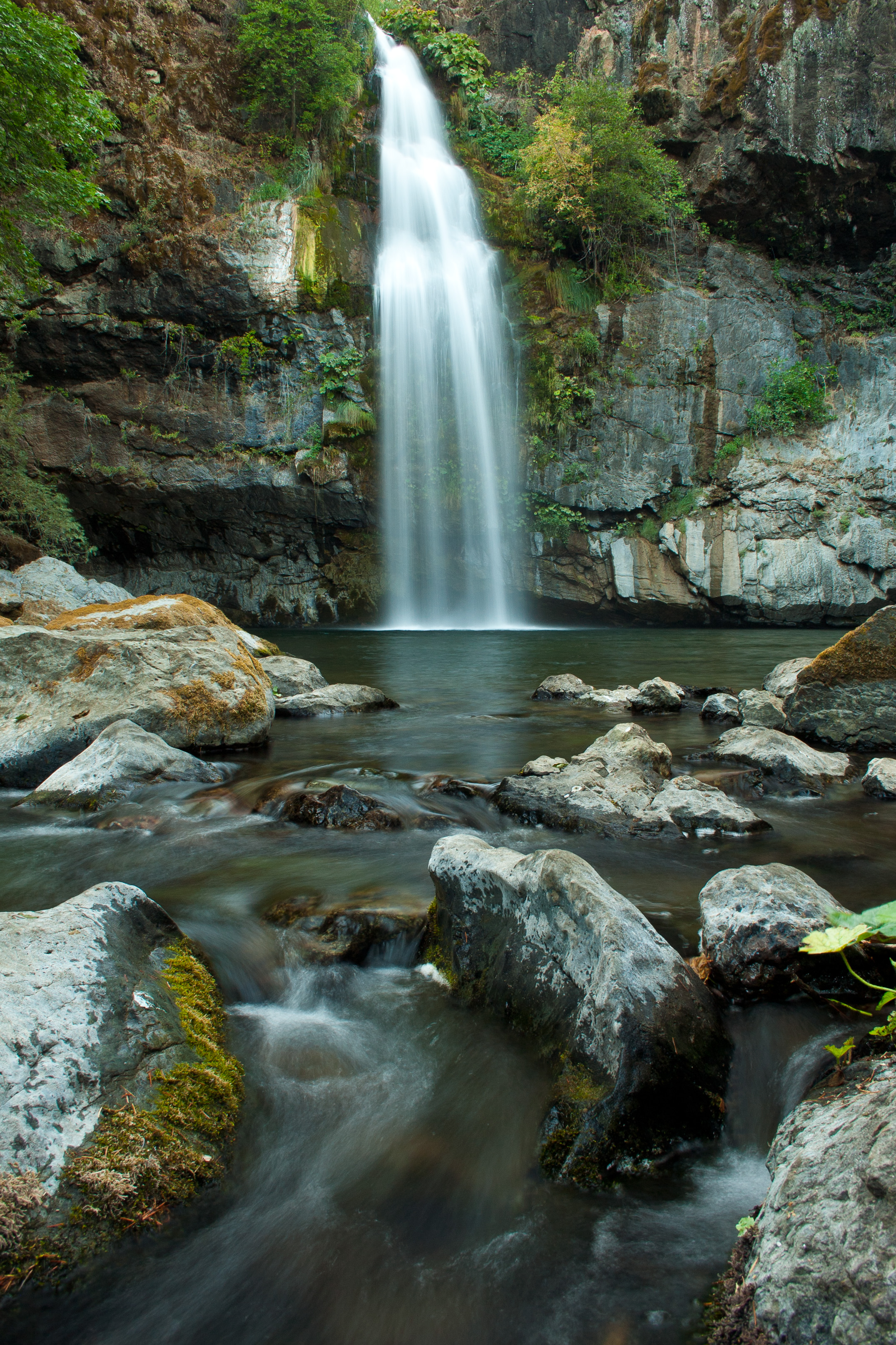
Potem Dream

Fountain Fire Vista Point [03.30.13]
Ingot's Afterthought Mine [03.30.13]

Fairytale Land [03.30.13]
Don't Fence Me In
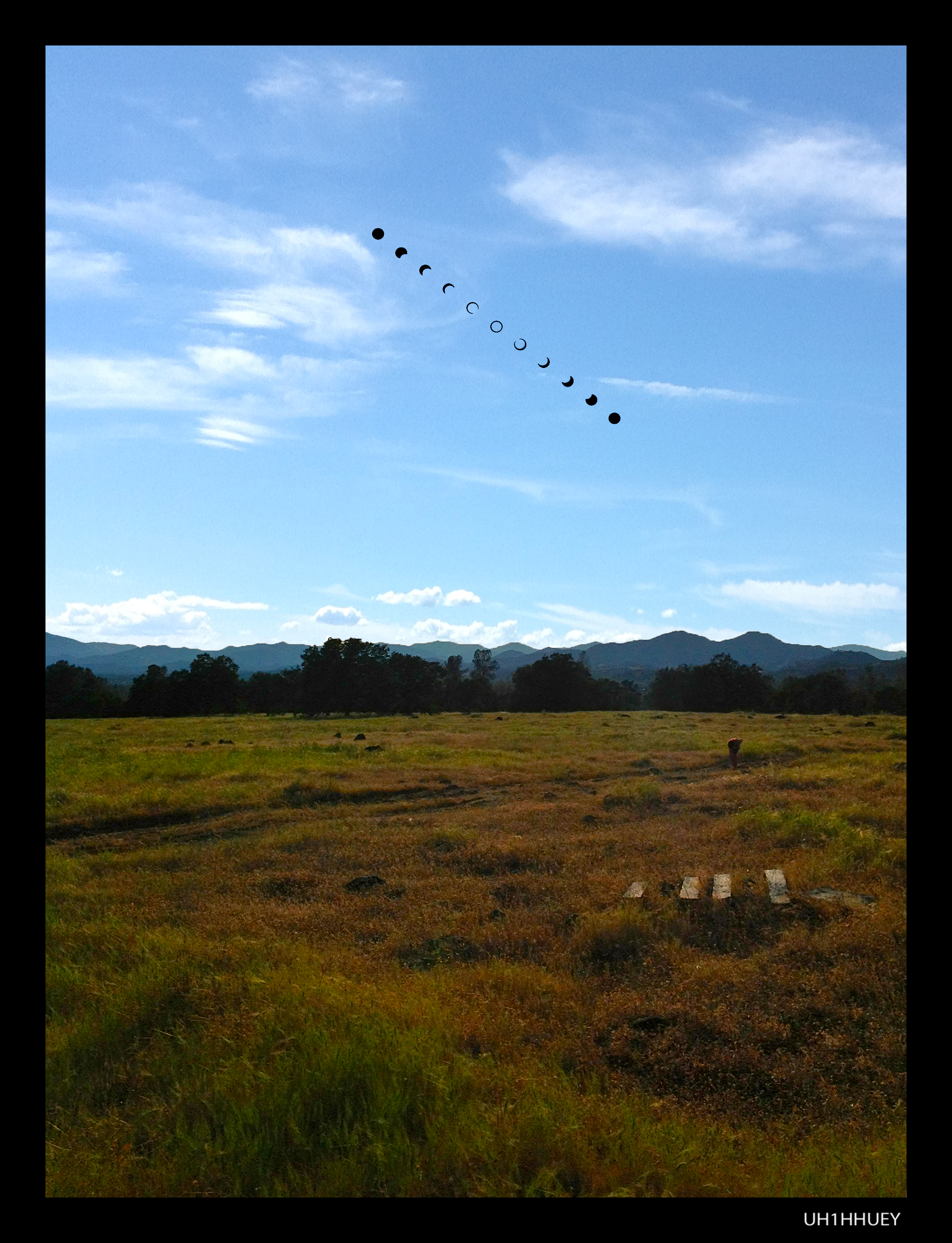
Annular Solar Eclipse May 20, 2012 (Campsite)

Kilarc Reservoir

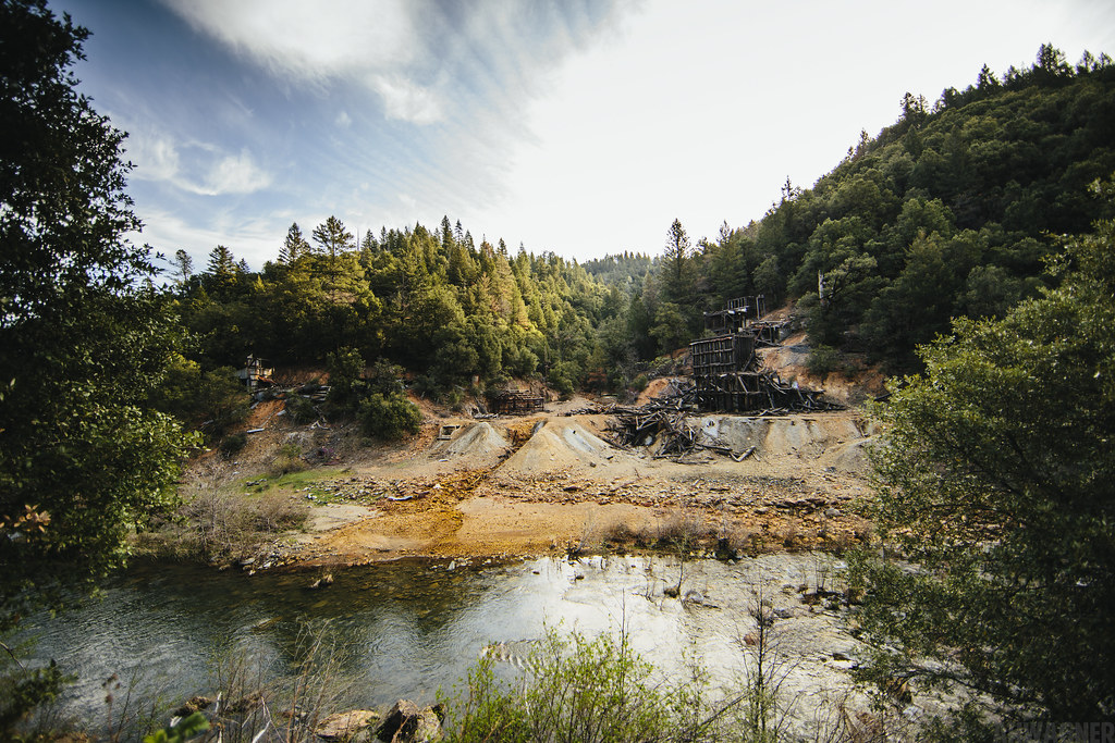
Remnants of the Past: A California Mining Historical Piece (Part 6)
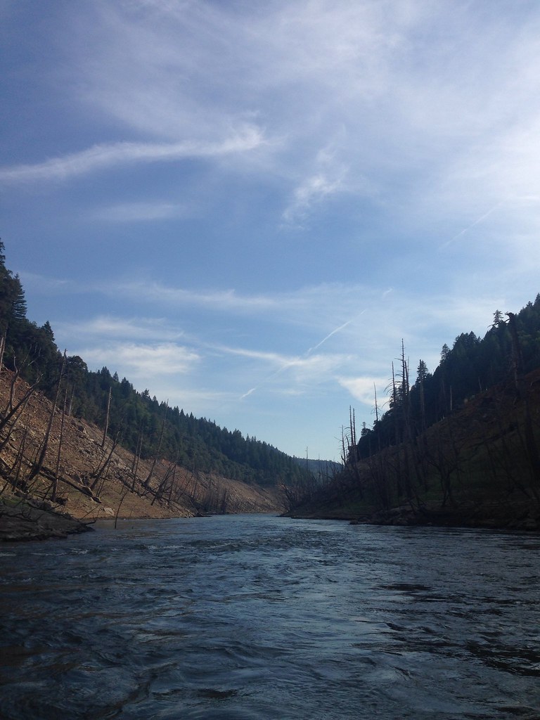
Took the boat up the river! So much fun! We spent 4 days on the boat and it was a blast. Back to work in a couple days...

_8210034.NEF

_9080256.NEF
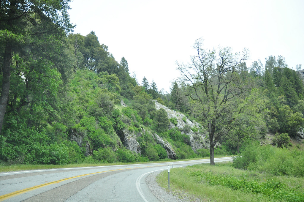
Route 299

Secret Turkey Spot- decoy in place

Pit Rivet Arm of Lake Shasta
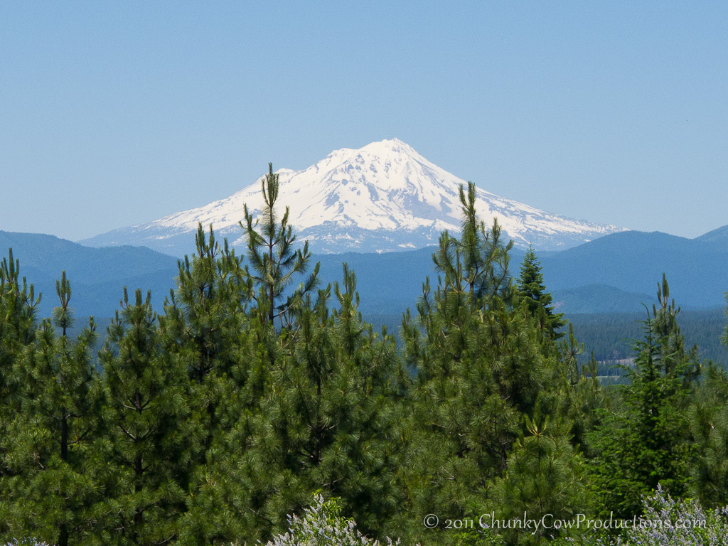
Mount Shasta
Topographic Map of CA-, Round Mountain, CA, USA
Find elevation by address:

Places near CA-, Round Mountain, CA, USA:
16211 Buzzard Roost Rd
17167 Phillips Rd
15130 Sherwood Forest Rd
15130 Sherwood Forest Rd
15130 Sherwood Forest Rd
15130 Sherwood Forrest Rd
15130 Sherwood Forrest Rd
15130 Sherwood Forrest Rd
30303 Fremont Way
30303 Fremont Way
14788 Phillips Rd
30057 Smith Logging Rd
30057 Smith Logging Rd
30057 Smith Logging Rd
30057 Rl Smith Logging Rd
14681 Fern Rd E
12847 Fern Rd
13353 Fern Rd
11710 Notta Rd
12855 Fern Rd
Recent Searches:
- Elevation of Pykes Down, Ivybridge PL21 0BY, UK
- Elevation of Jalan Senandin, Lutong, Miri, Sarawak, Malaysia
- Elevation of Bilohirs'k
- Elevation of 30 Oak Lawn Dr, Barkhamsted, CT, USA
- Elevation of Luther Road, Luther Rd, Auburn, CA, USA
- Elevation of Unnamed Road, Respublika Severnaya Osetiya — Alaniya, Russia
- Elevation of Verkhny Fiagdon, North Ossetia–Alania Republic, Russia
- Elevation of F. Viola Hiway, San Rafael, Bulacan, Philippines
- Elevation of Herbage Dr, Gulfport, MS, USA
- Elevation of Lilac Cir, Haldimand, ON N3W 2G9, Canada