Elevation of CA-79, Warner Springs, CA, USA
Location: United States > California > San Diego County > Warner Springs >
Longitude: -116.72249
Latitude: 33.3481118
Elevation: 1039m / 3409feet
Barometric Pressure: 89KPa
Elevation Map:
Satellite Map:
Related Photos:

Palomar Mountain Sunset Timelapse
Rock Hoist

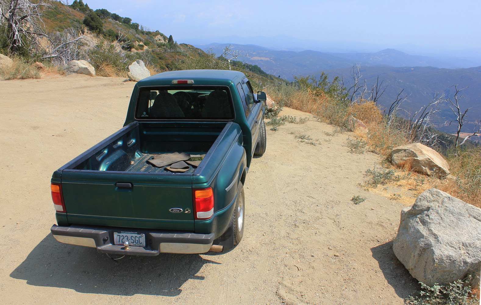
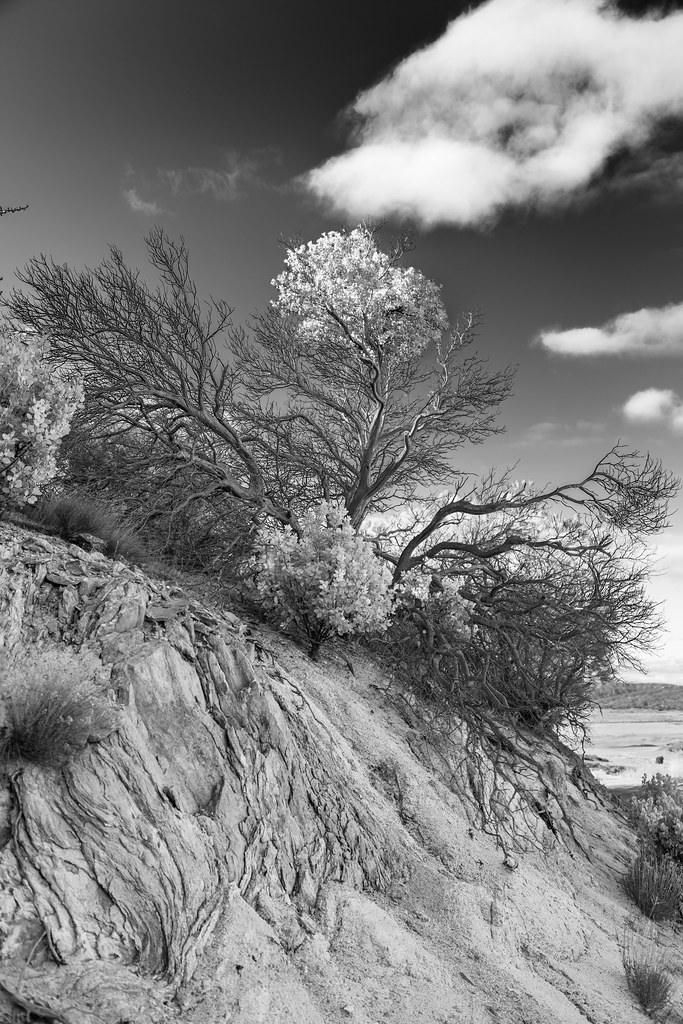
Moonscape from Moutaintop
"Live in the Light"
Big dome
Twilight view of northern San Diego County from Palomar Mountain

View at the end of a perfect day
Palomar View
Mirror image

View to the south
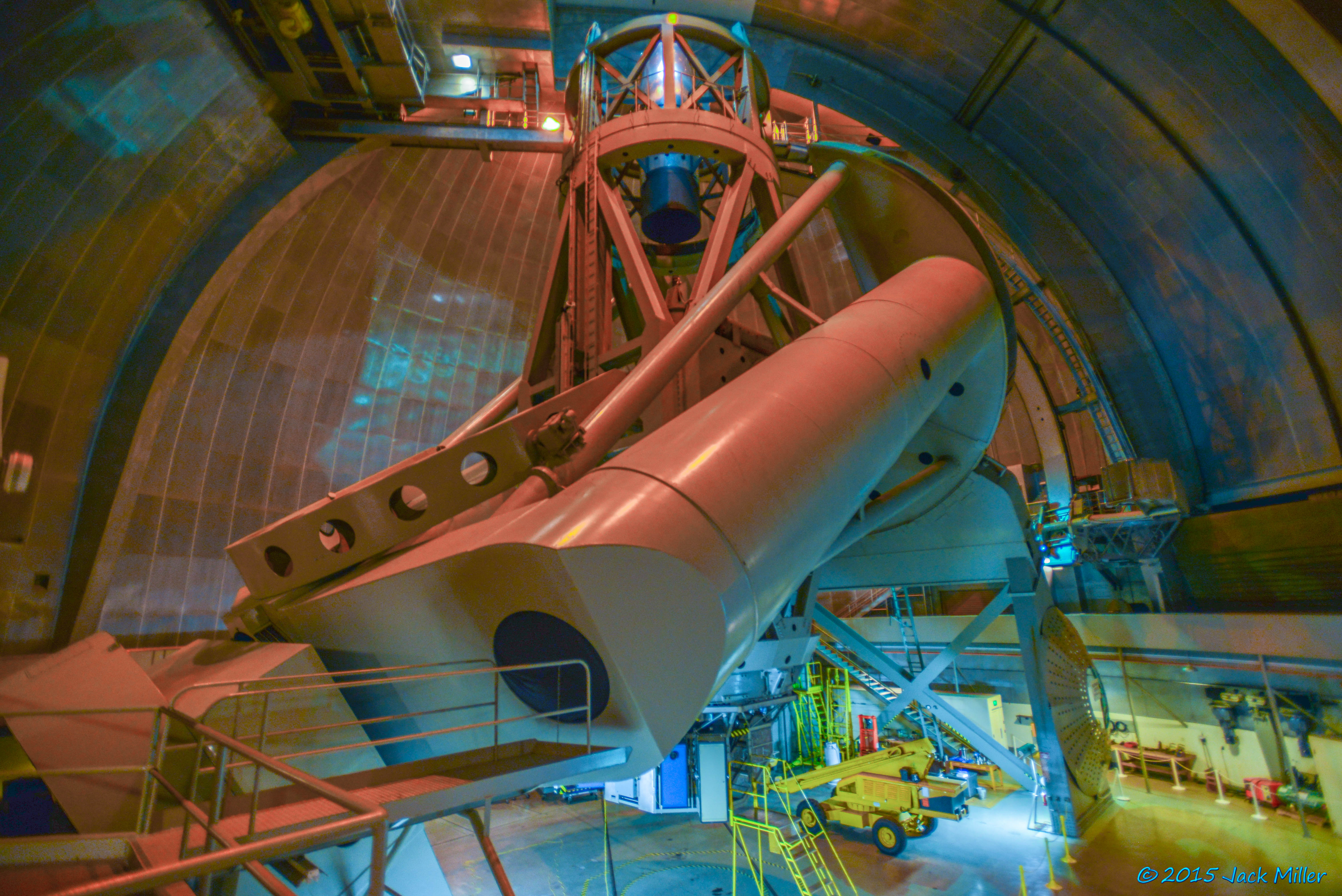
Palomar Observatory
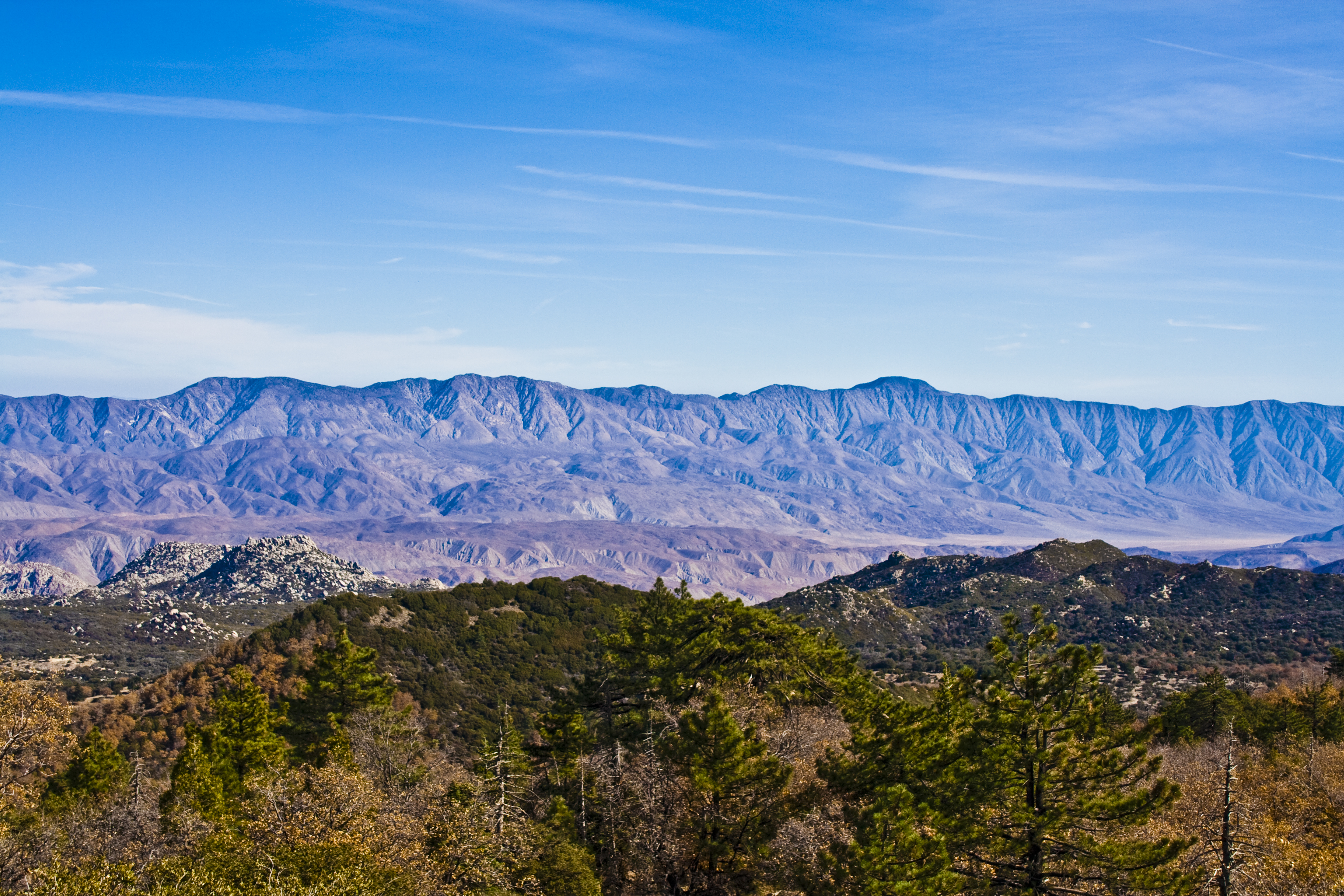
Santa Rosa Mtns from Hot Springs Mountain

View from Palomar
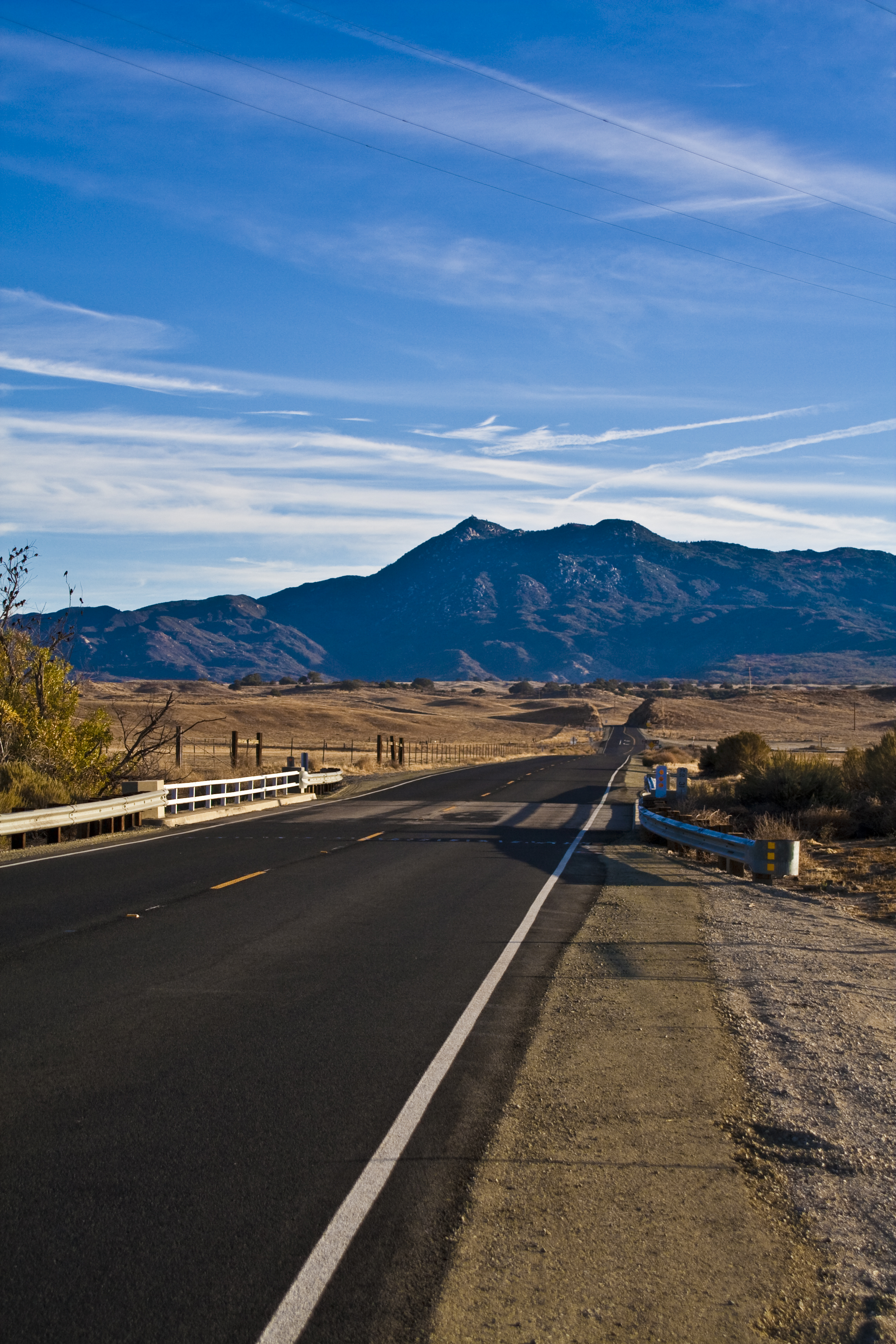
Hot Springs Mountain from 79
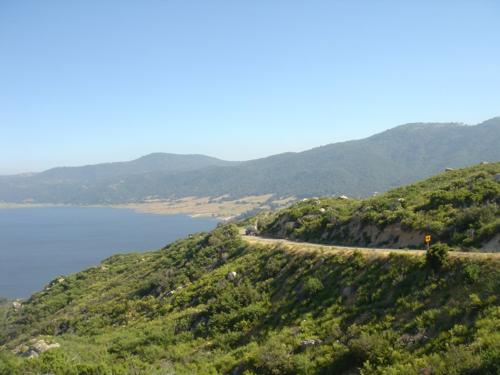
Palomar Mountain - Lake to the East
Warner Springs Ranch, Warner Springs, California

View south from Combs Peak
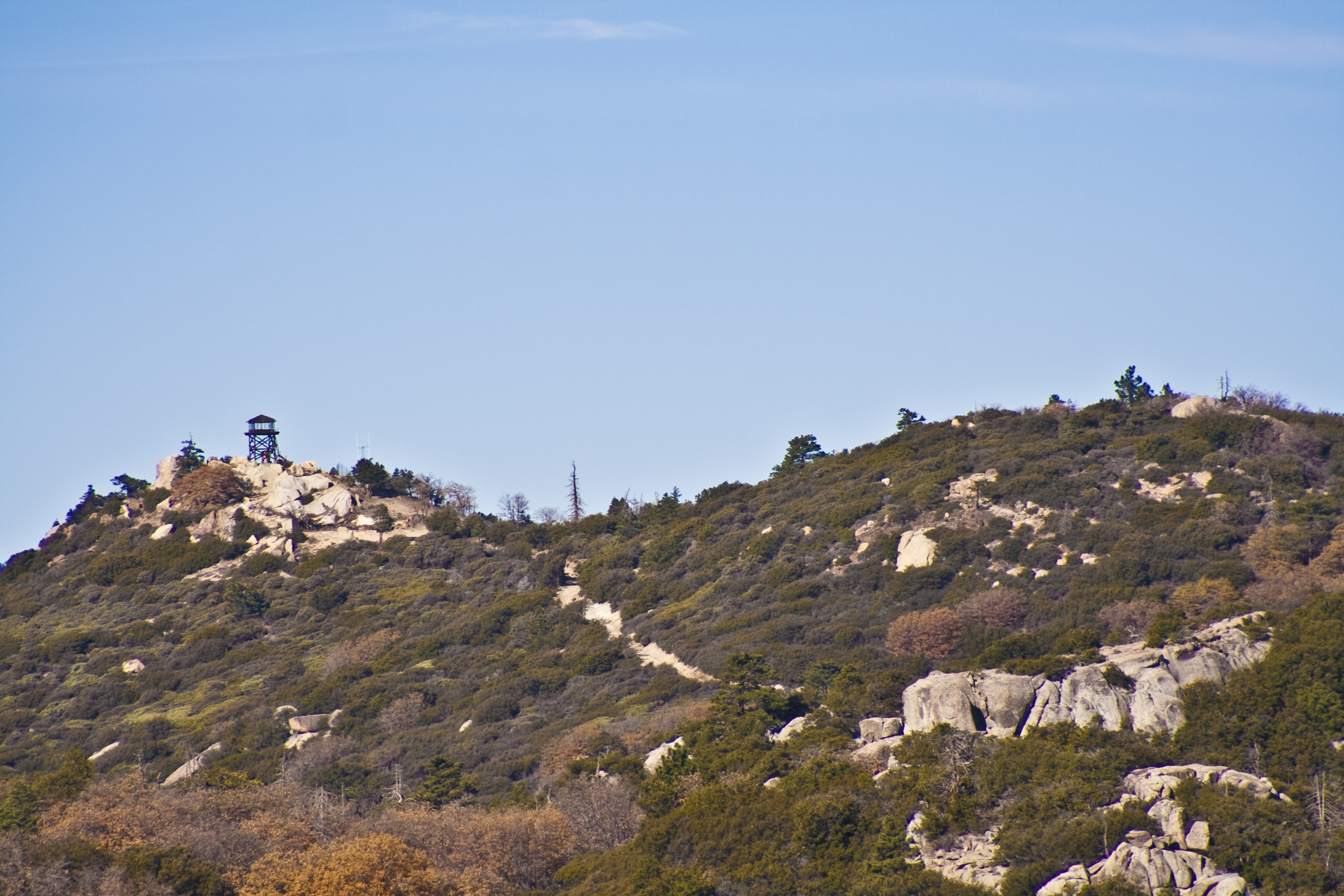
Fire Lookout Tower Hot Springs Mountain

0452 View north toward Combs Peak and Lost Valley Road as we head north on the PCT near mile 125
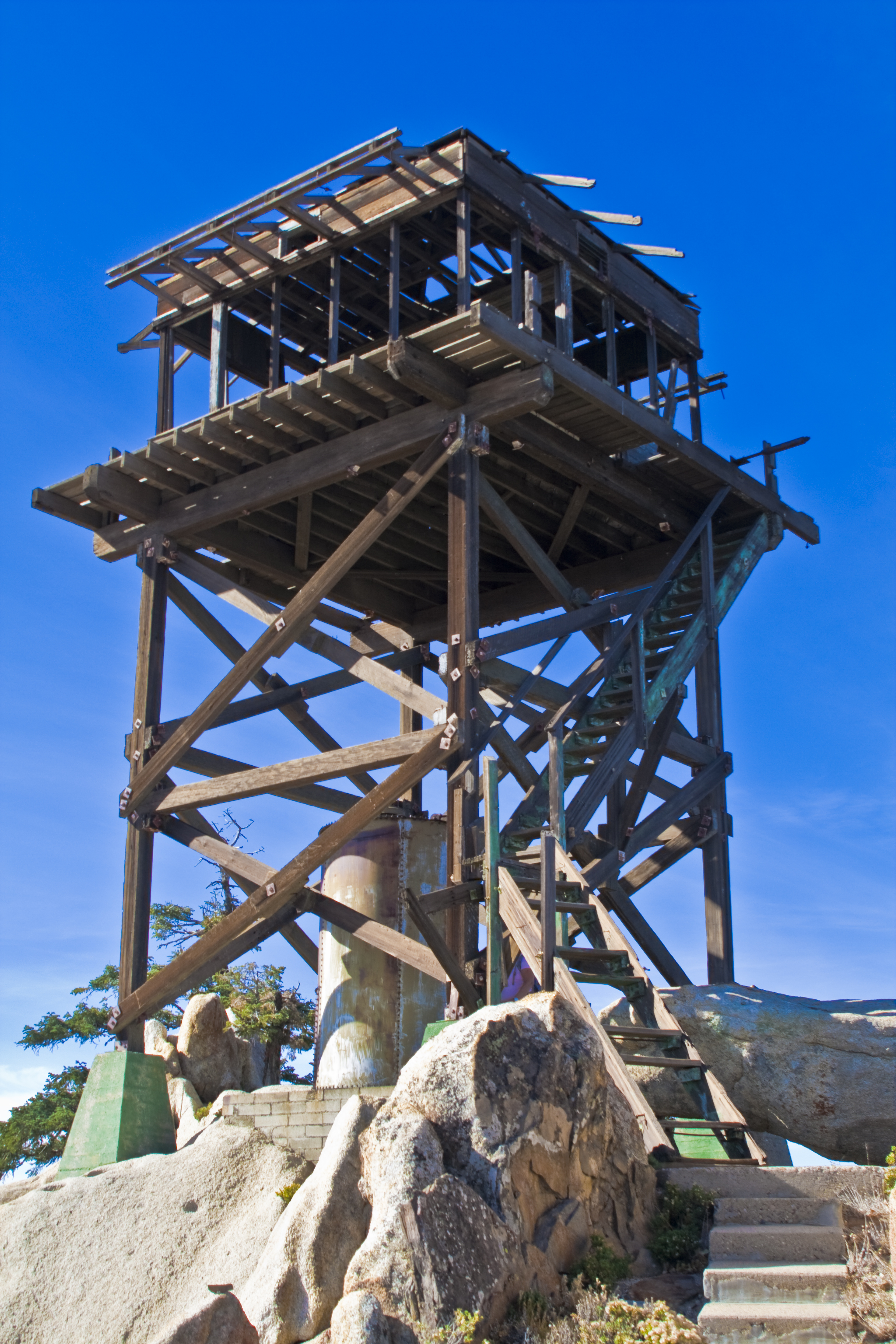
Fire Lookout Tower Hot Springs Mountain

0224 Zoomed-in view of Beauty Peak (5545 ft) from the PCT near Lost Valley Road
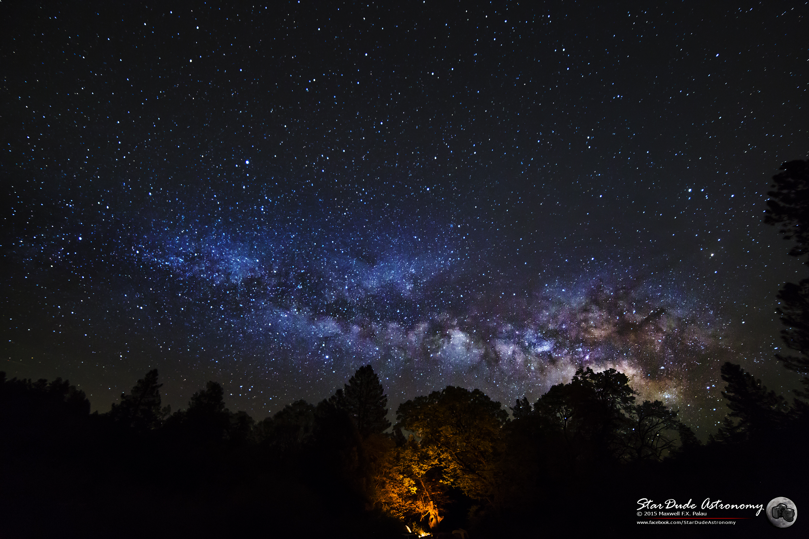
Fire in the Sky

Milky Clouds
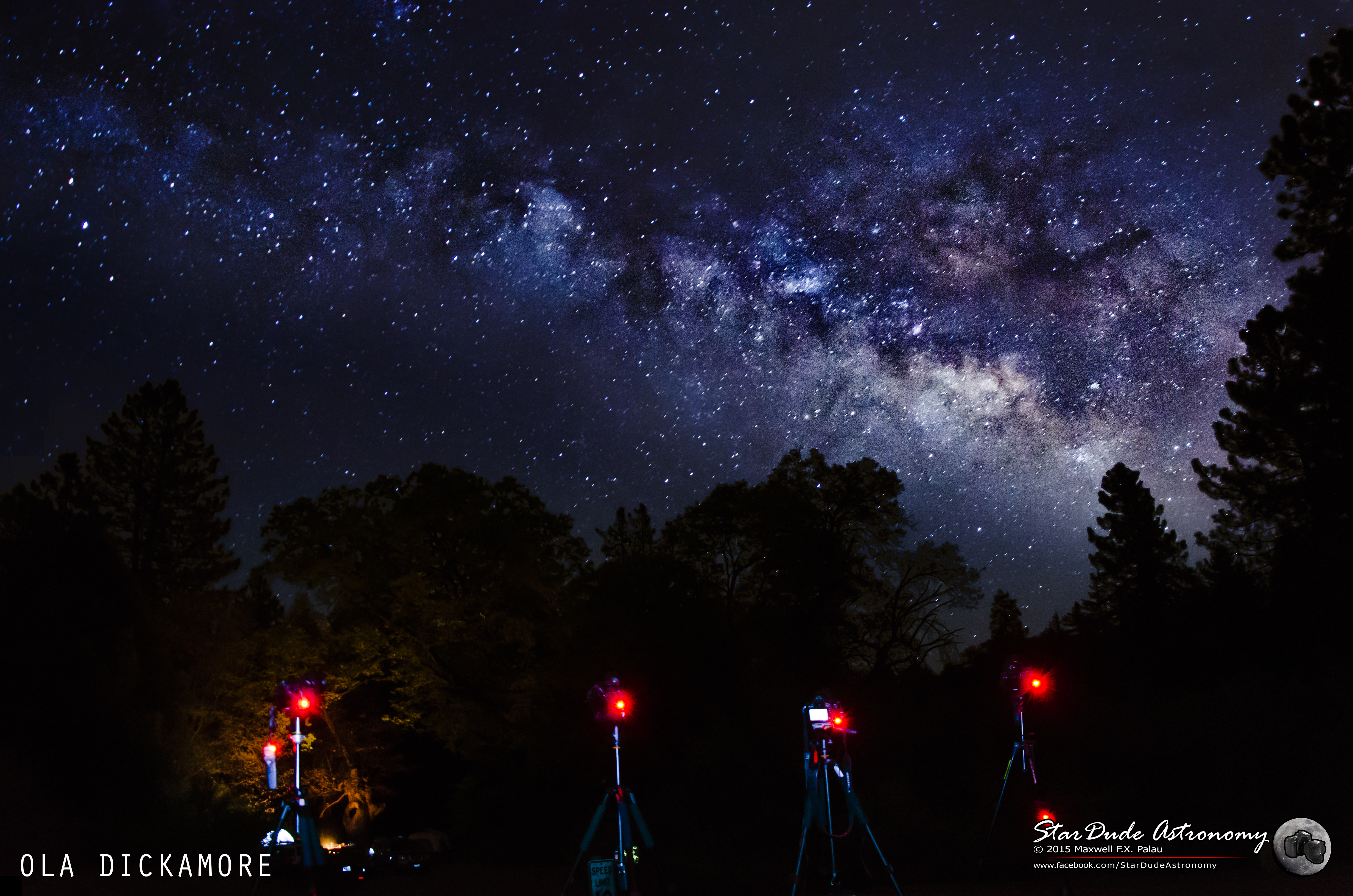
Milky Way Robots
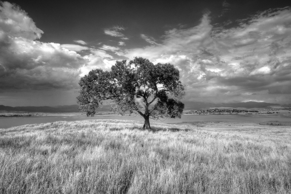
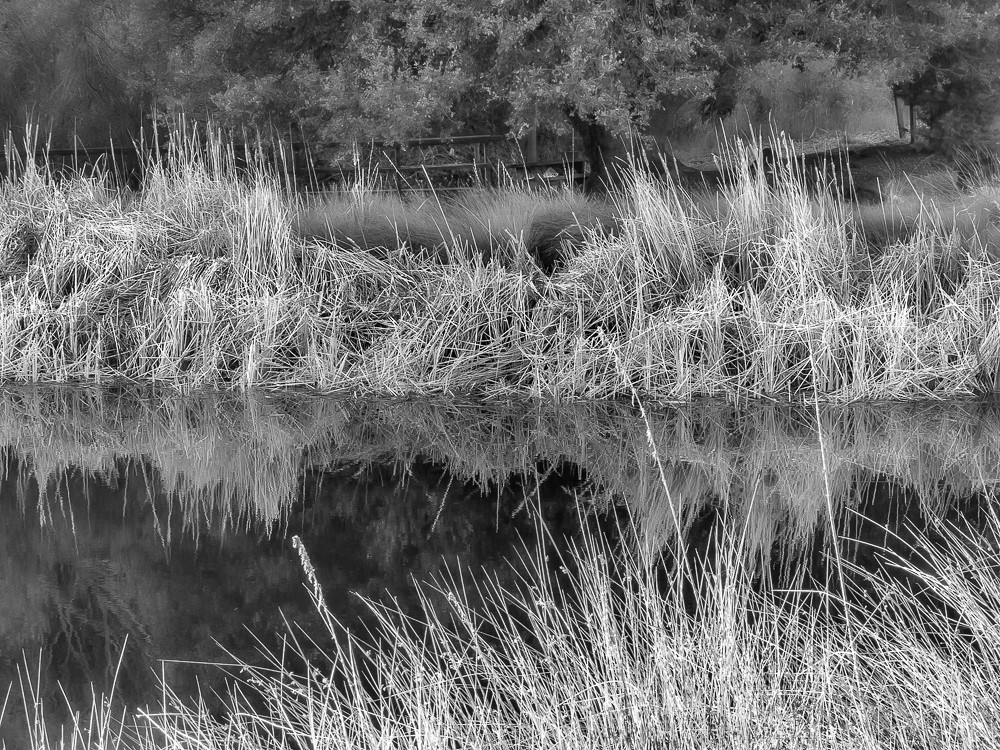
Lone Tree at Lake Henshaw

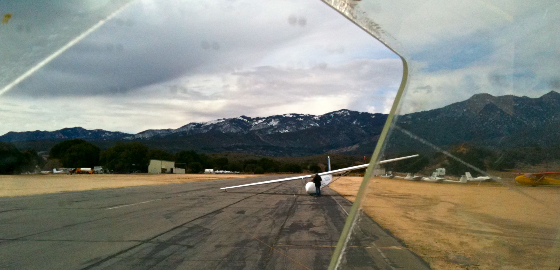
Pacific Crest Trail, 2018
Palomar 221
Branches Like Lightning
Cañada Buena Vista

Pacific Crest Trail, 2018

L7240022.NEF

Love Valley Barn

Sunday Morning! #instagram #iphone #instatags4likes #iphonephotography #mobilephotography #nature #landscape #afterlight #California
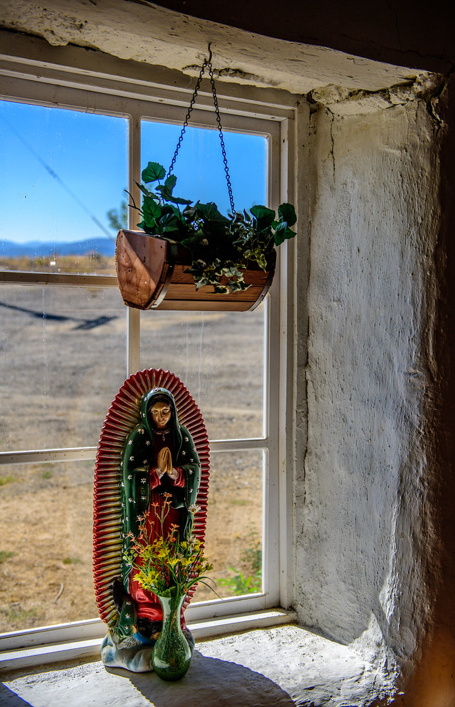
Chapel of St. Francis of Assisi-0032

Palomar Observatory-0014
Palomar Observatory-0028

Snapseed-54

Lake Henshaw

Pacific Crest Trail, 2018

Snow and rain on Palomar Mountain

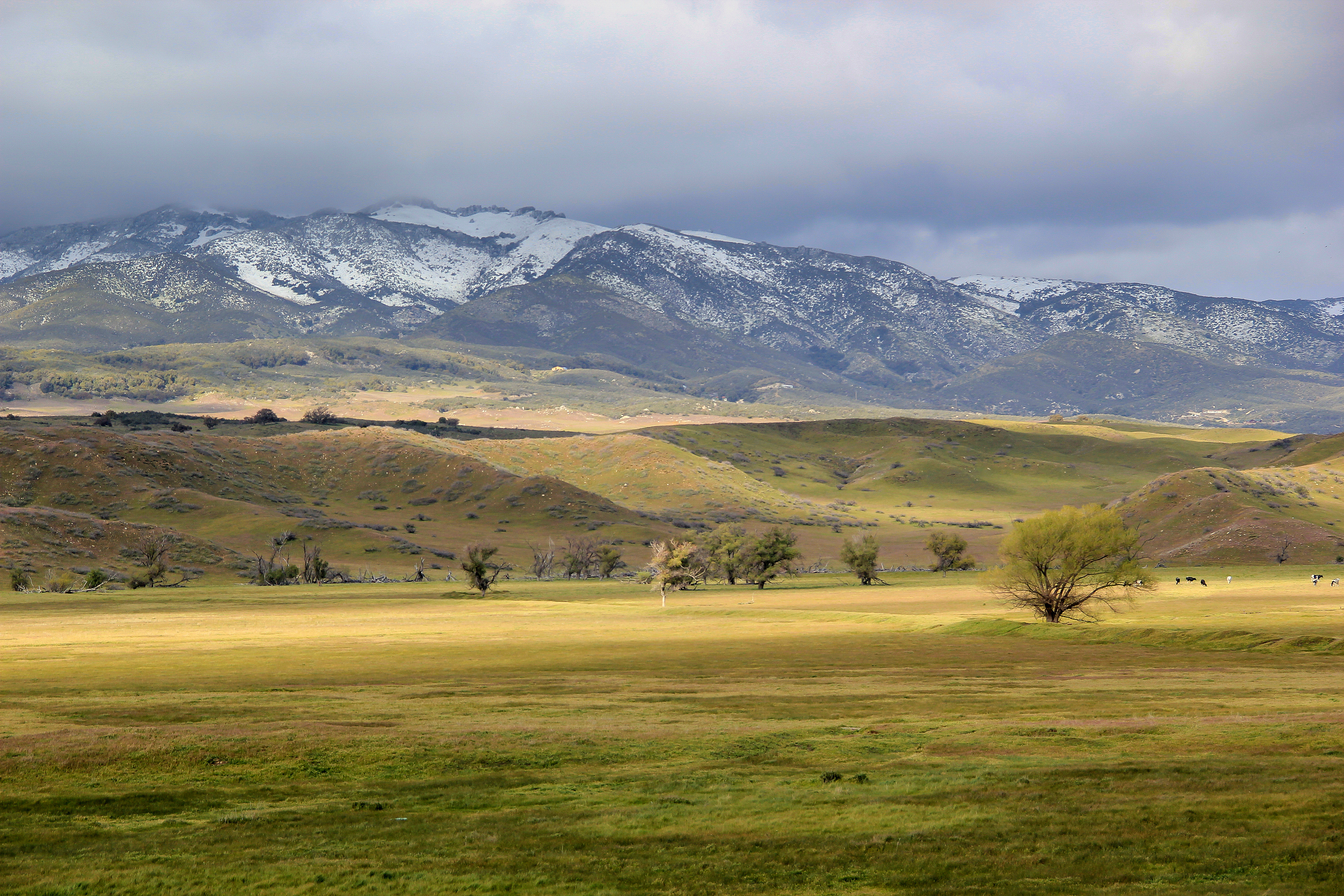
9507 green hills
Topographic Map of CA-79, Warner Springs, CA, USA
Find elevation by address:

Places near CA-79, Warner Springs, CA, USA:
Palomar Mountain
22196 Crestline Rd
22110 Crestline Rd
21742 Crestline Rd
21813 Crestline Rd
Palomar Observatory
21642 Crestline Rd
32763 S Grade Rd
Church Rd, Pauma Valley, CA, USA
21145 State Park Rd
Palomar Mountain
Palomar Mountain
31718 S Grade Rd
Palomar Mountain State Park
18279 Quail Dr
32833 Rincon Ranch Rd
Deacon Drive
17711 S Mesa Dr
Rincon Springs Road
777 S Resort Dr
Recent Searches:
- Elevation of Thorpe Cir, Thousand Oaks, CA, USA
- Elevation of Eldorado do Sul - RS, Brazil
- Elevation of Eldorado do Sul - Parque Eldorado, Eldorado do Sul - RS, -, Brazil
- Elevation of 35 Governors Ln, Hilton Head Island, SC, USA
- Elevation of Orangevale, CA, USA
- Elevation of Doe Cir, Clinton, OH, USA
- Elevation of Narhe, Pune, Maharashtra, India
- Elevation of Martins Mill Ct, Eagle Rock, NC, USA
- Elevation of Kippen, Stirling FK8, UK
- Elevation of Sieveringer Straße, Sieveringer Str., Wien, Austria