Elevation of CA-36, Bridgeville, CA, USA
Location: United States > California > Mad River >
Longitude: -123.76610
Latitude: 40.4875445
Elevation: 461m / 1512feet
Barometric Pressure: 96KPa
Elevation Map:
Satellite Map:
Related Photos:
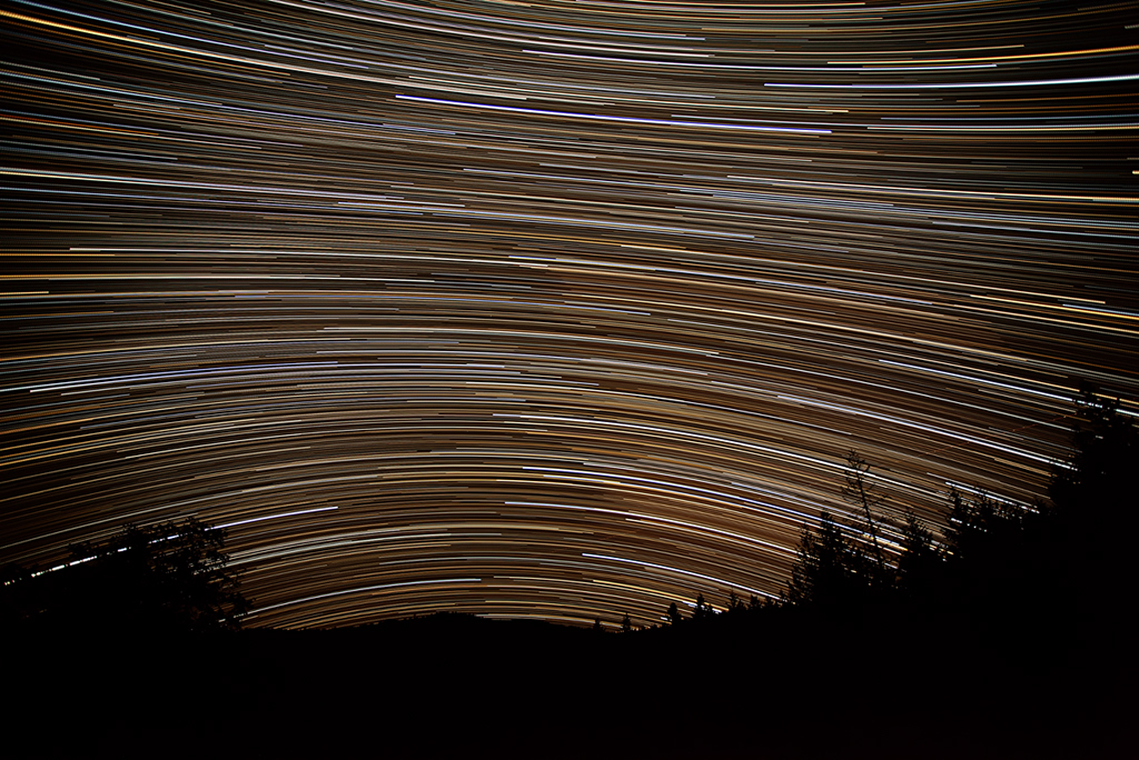
Milky Way Lounge: Humboldt County, CA
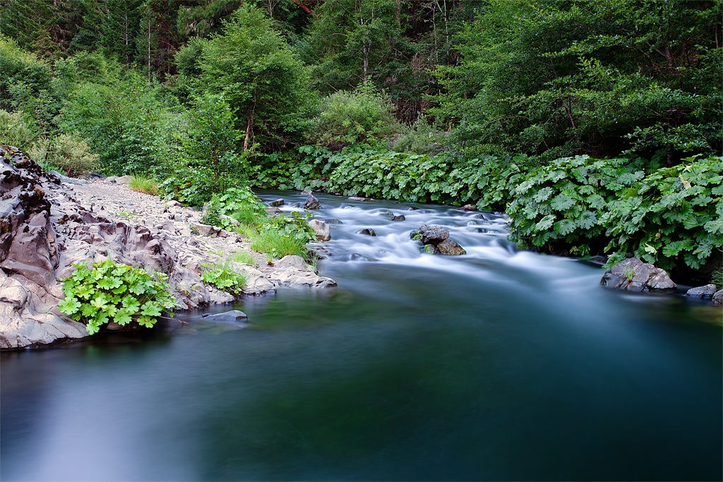
The Fishing Hole: Mad River, California

vanduzen valley sunset
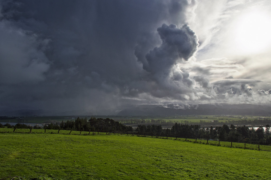
incoming storm
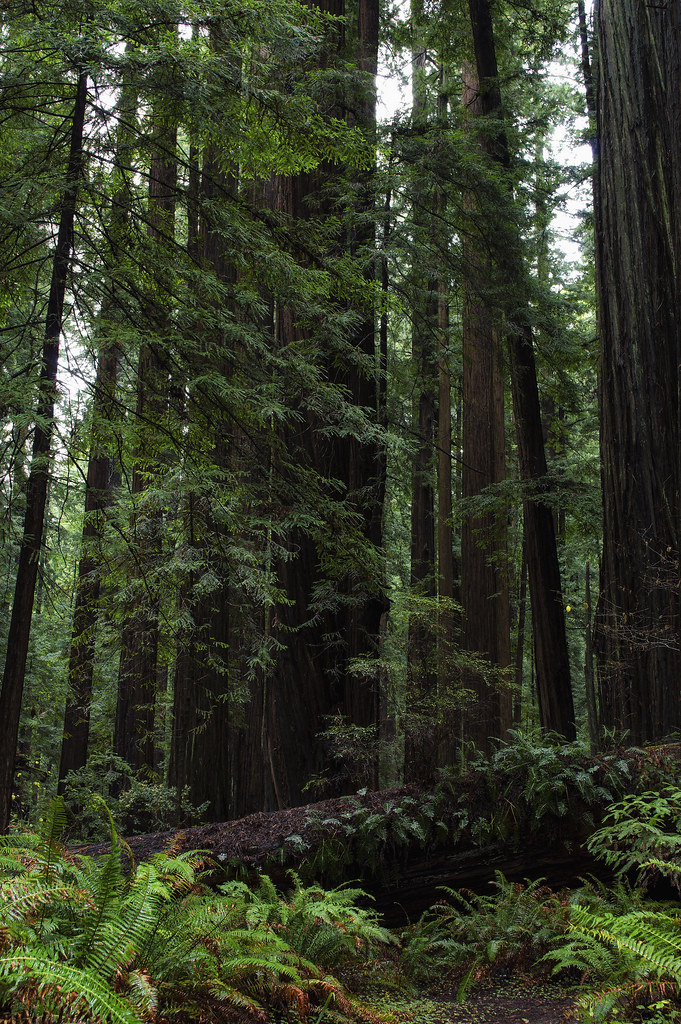
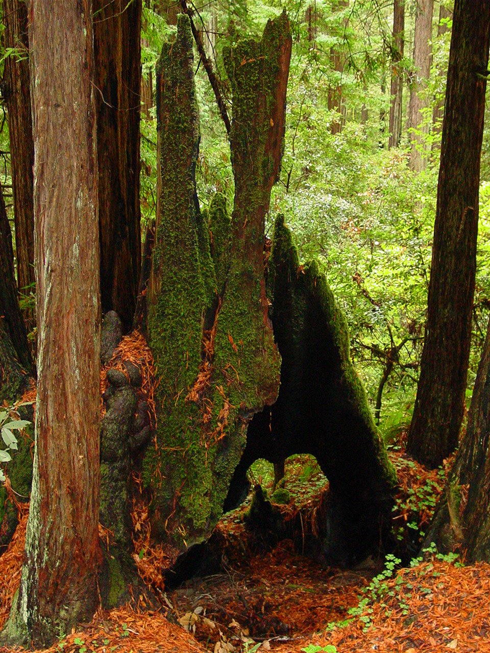
ewok forest

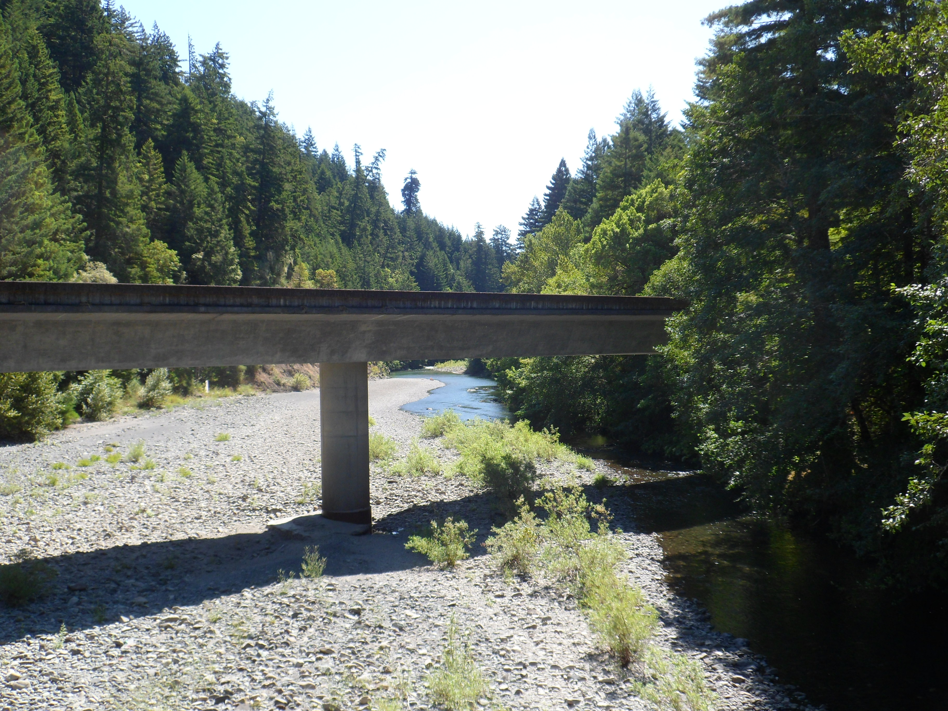
Owen R. Cheatham Grove & Van Duzen River

Owen R. Cheatham Grove & Van Duzen River

Owen R. Cheatham Grove & Van Duzen River

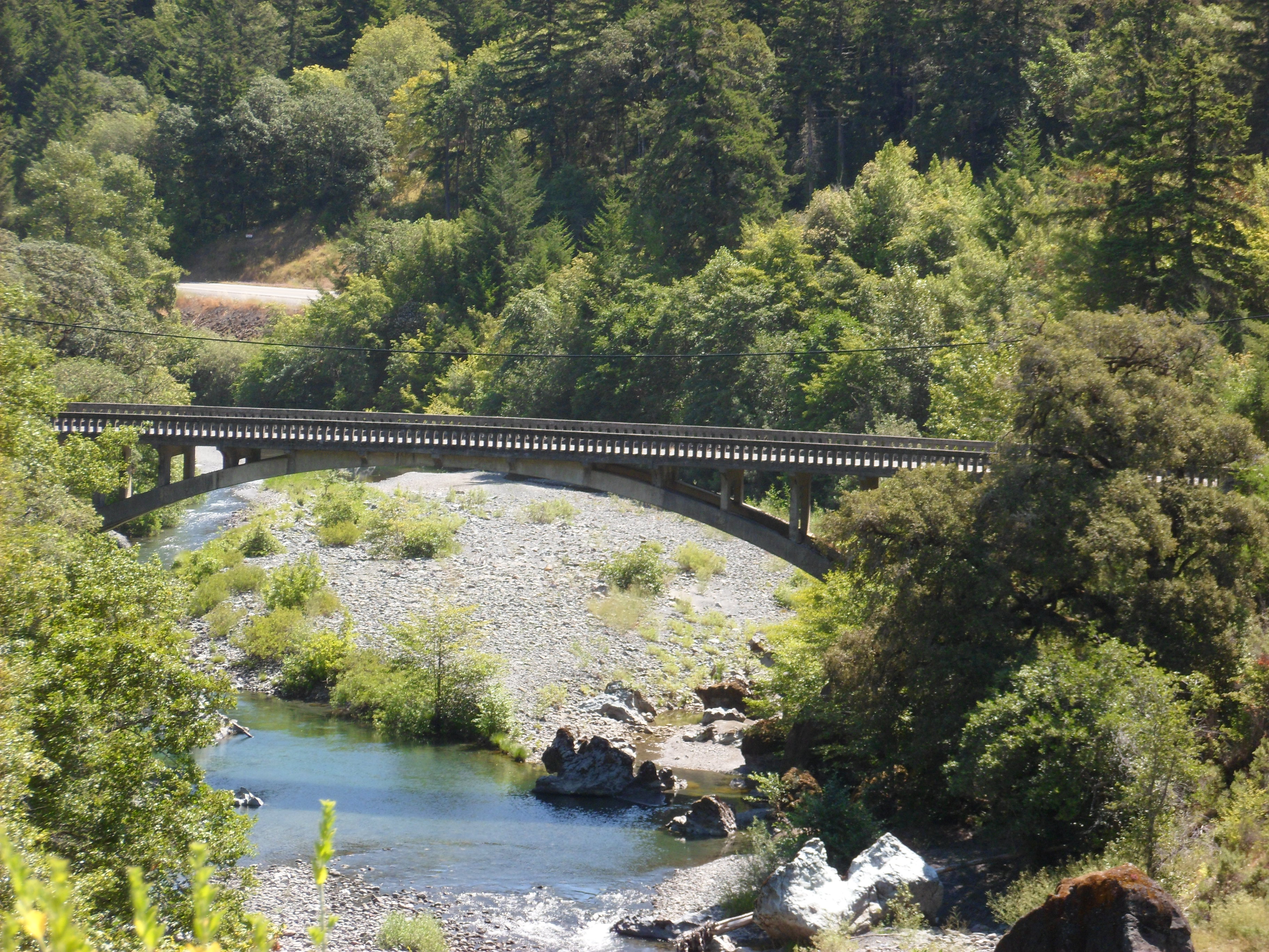
Grizzly Creek, Redwoods, California
More Coastal Redwoods

Owen R. Cheatham Grove & Van Duzen River
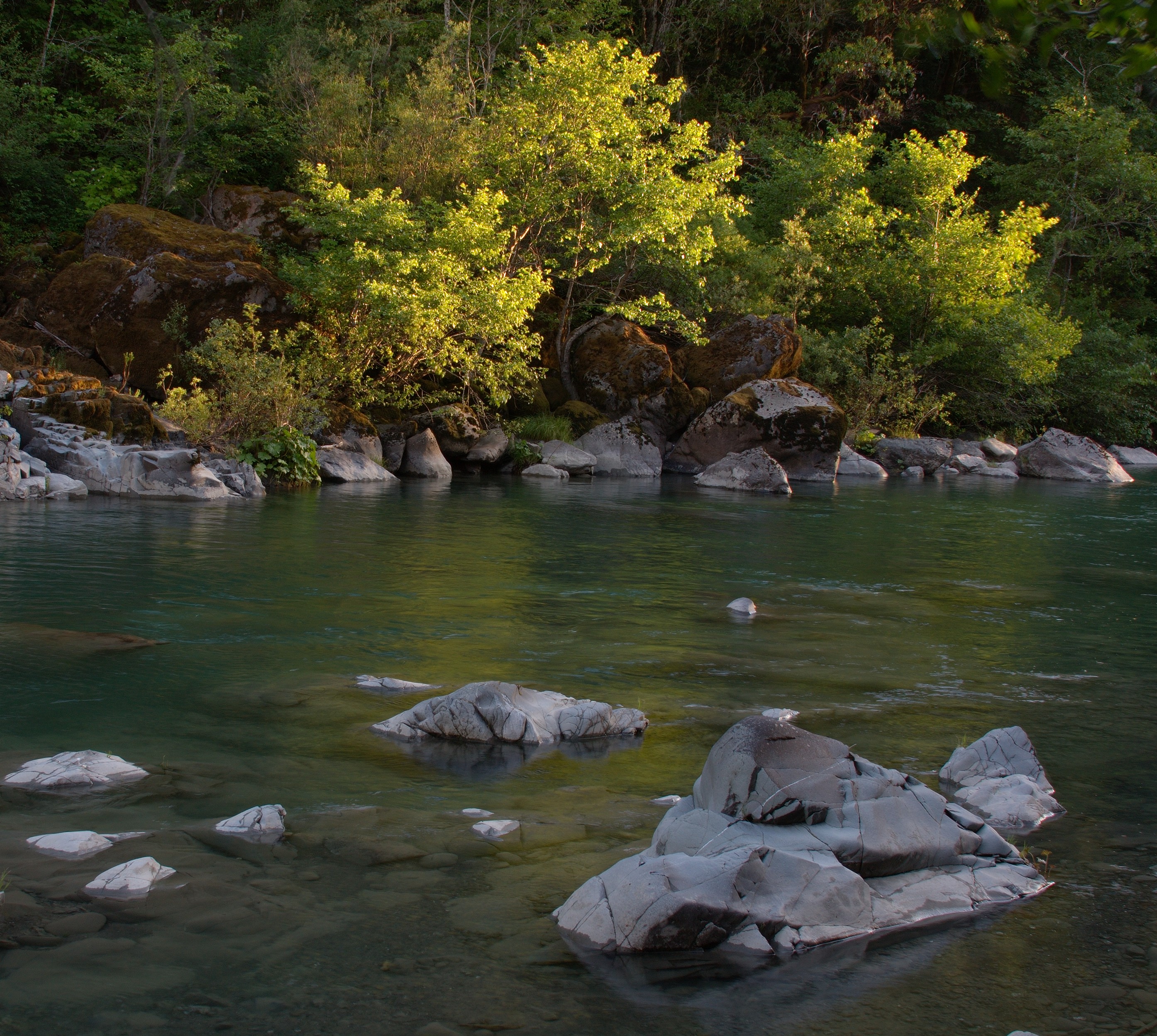
Last Light

Owen R. Cheatham Grove & Van Duzen River
Hwy. 36 overlook

Grizzly Creek, Redwoods, California
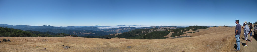
Soldier’s Grove Panorama
Hwy. 36 overlook
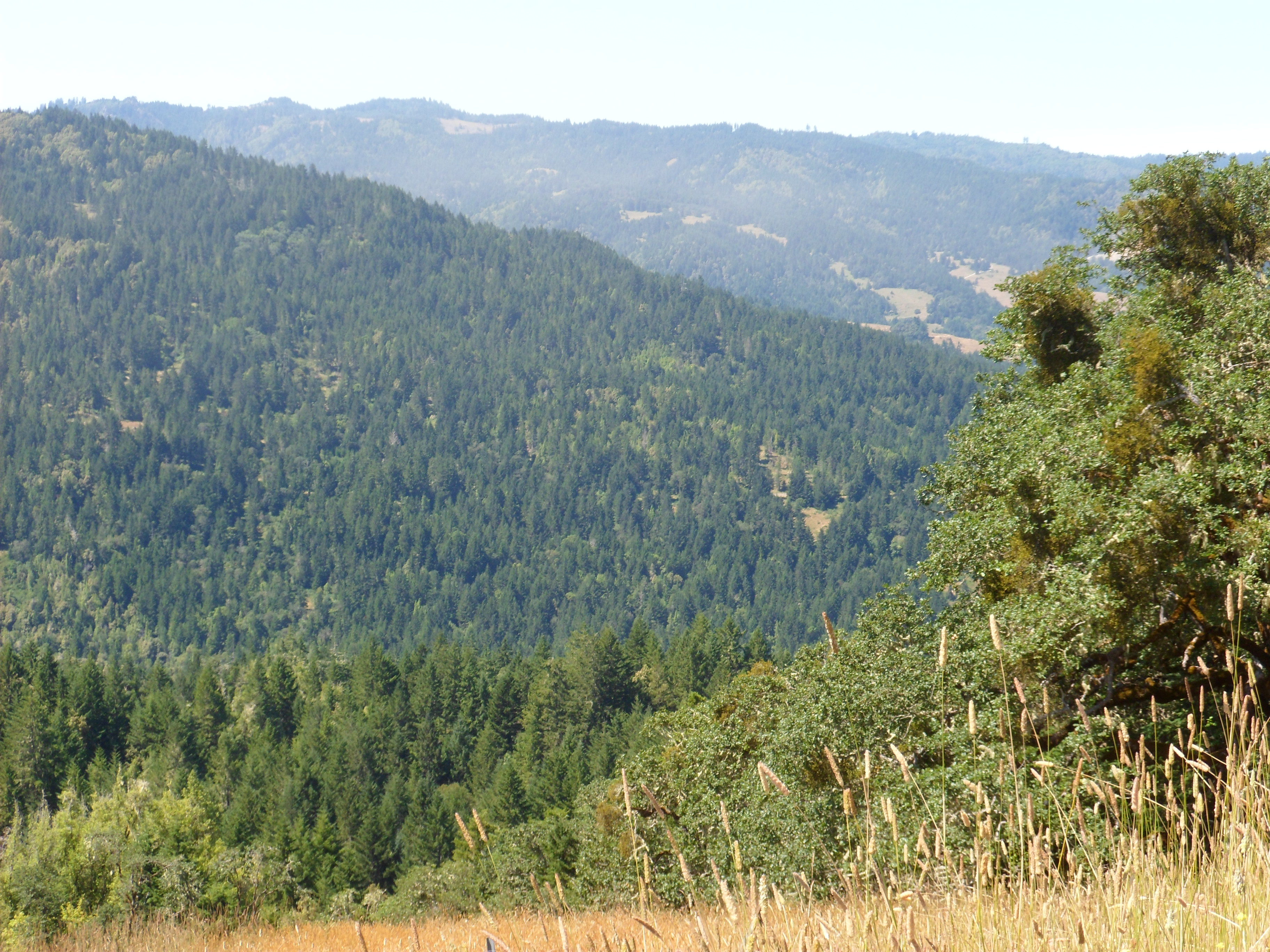
Hwy. 36 overlook

Owen R. Cheatham Grove & Van Duzen River
Hwy. 36 overlook

Grizzly Creek, Redwoods, California
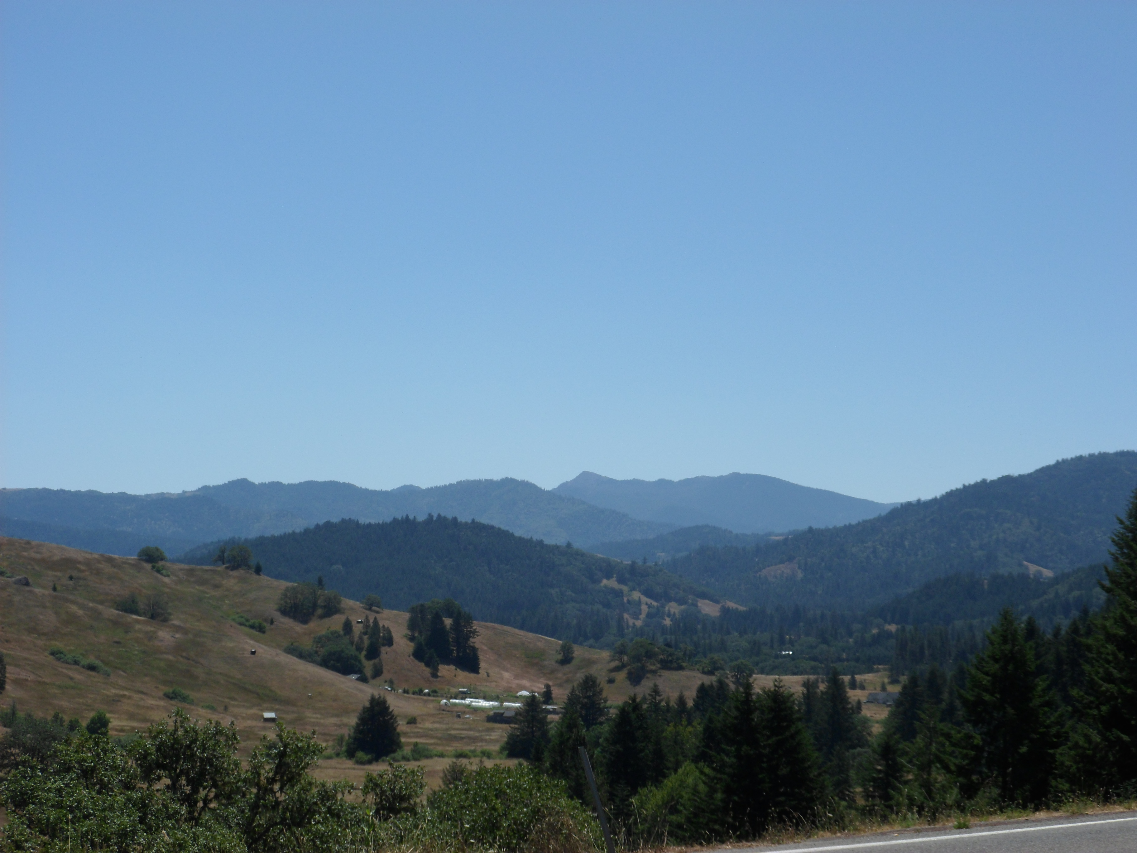
The hills of Northern California
Topographic Map of CA-36, Bridgeville, CA, USA
Find elevation by address:

Places near CA-36, Bridgeville, CA, USA:
Bridgeville
Dyerville Loop Rd, Myers Flat, CA, USA
Holmes Flat Rd, Redcrest, CA, USA
CA-, Redcrest, CA, USA
Elk Creek Rd, Myers Flat, CA, USA
Redcrest
Dyerville Giant
41 Railroad Ave, Scotia, CA, USA
473 Madrone Rd
801 Riverside Park Rd
Sewell Blvd, Weott, CA, USA
Riverside Park Rd, Carlotta, CA, USA
Weott
CA-, Scotia, CA, USA
Avenue Of The Giants
7840 Mountain View Rd
Myers Flat
100 Felt Rd
Woodside Road
Humboldt County
Recent Searches:
- Elevation of Corso Fratelli Cairoli, 35, Macerata MC, Italy
- Elevation of Tallevast Rd, Sarasota, FL, USA
- Elevation of 4th St E, Sonoma, CA, USA
- Elevation of Black Hollow Rd, Pennsdale, PA, USA
- Elevation of Oakland Ave, Williamsport, PA, USA
- Elevation of Pedrógão Grande, Portugal
- Elevation of Klee Dr, Martinsburg, WV, USA
- Elevation of Via Roma, Pieranica CR, Italy
- Elevation of Tavkvetili Mountain, Georgia
- Elevation of Hartfords Bluff Cir, Mt Pleasant, SC, USA