Elevation of CA-18, Running Springs, CA, USA
Location: United States > California > San Bernardino County > Running Springs >
Longitude: -117.13313
Latitude: 34.2256521
Elevation: 1916m / 6286feet
Barometric Pressure: 80KPa
Elevation Map:
Satellite Map:
Related Photos:

prcssd. combat camera. san bernardino, ca. 2011.
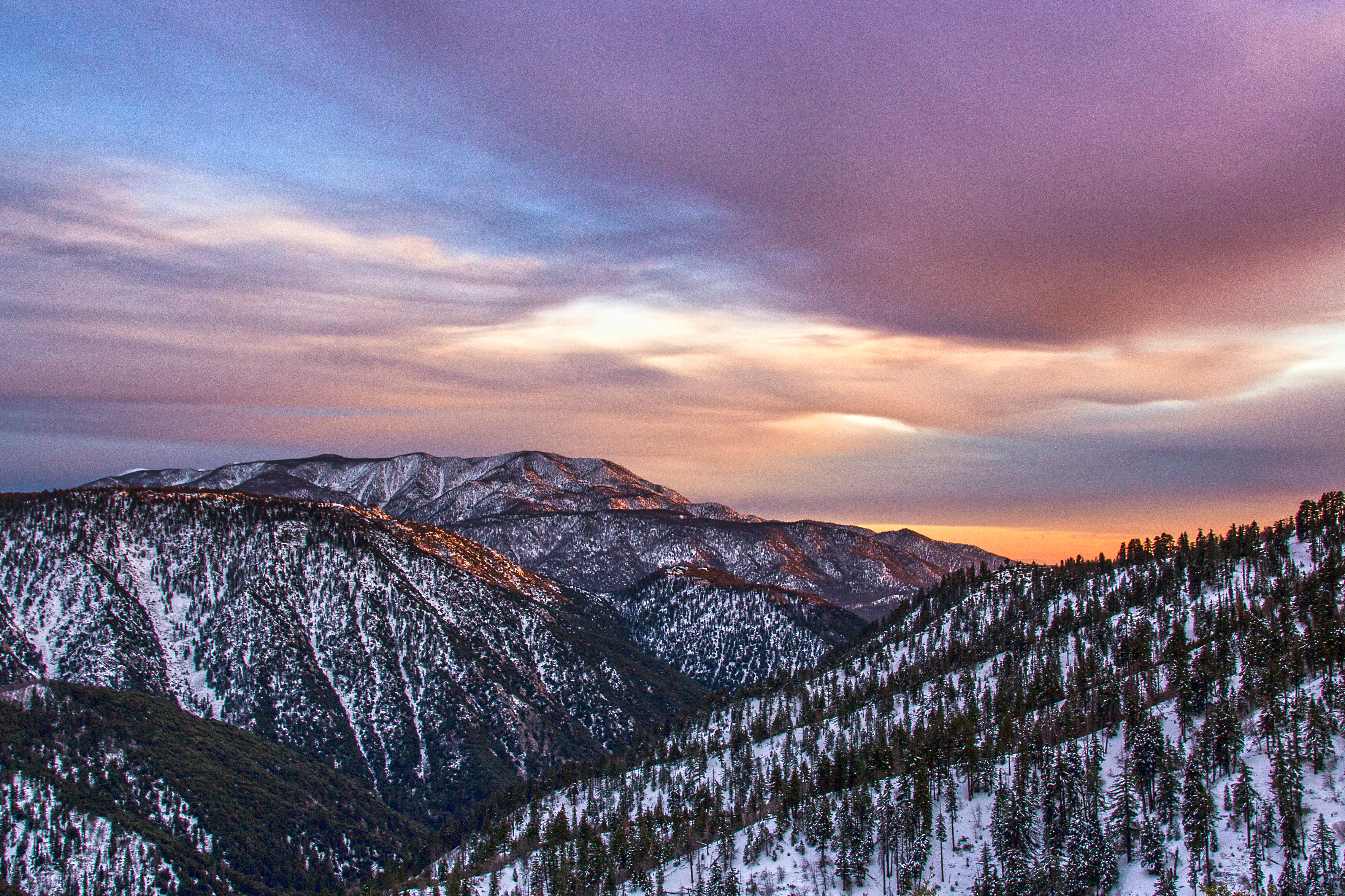
Winter Sky, San Bernardino Mountains [Explored]

Islands in the Mist

Turn of the Seasons
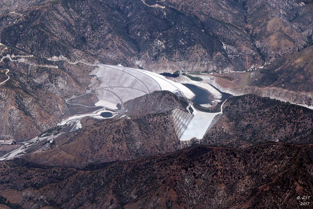
7 Oaks Dam

A Mixture of Fog and Clouds
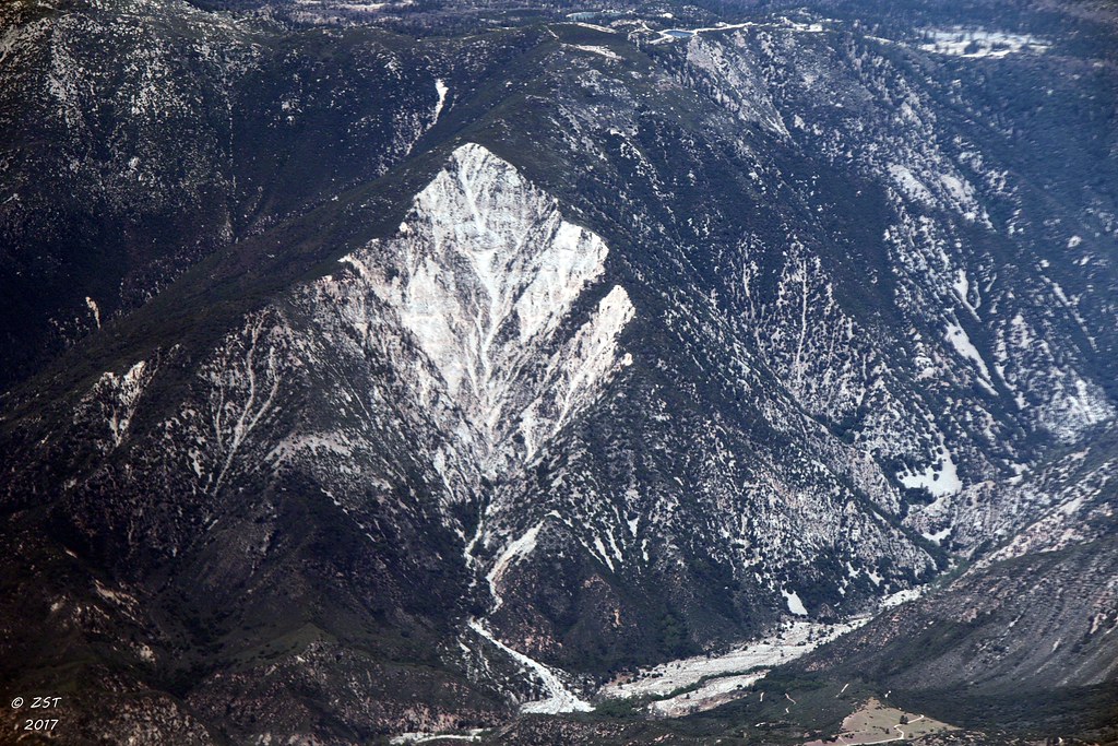
Erosion Scar [EXPLORED 5/26/17 - highest position #327]

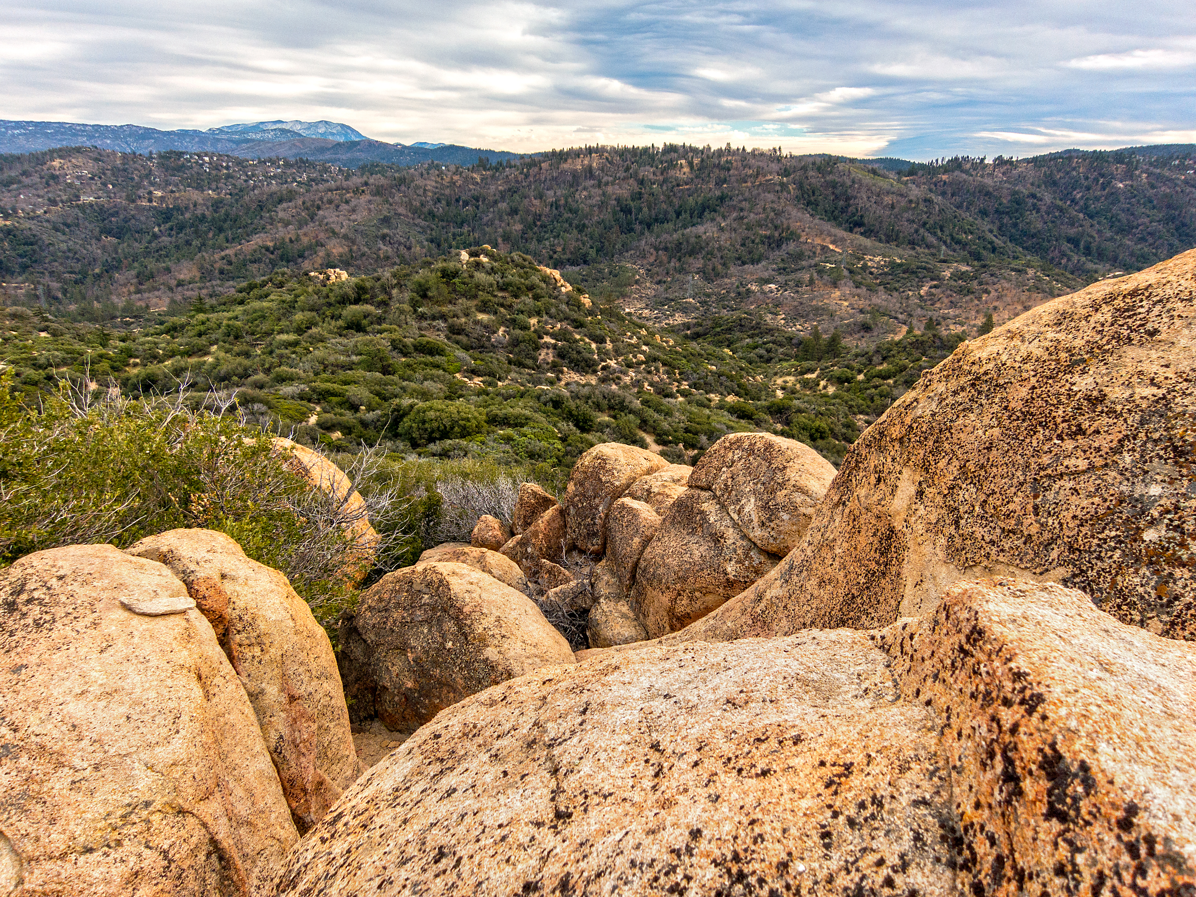
Overlooking the Inland Empire

Santa Ana River Valley
South from Marie Louise

Thanksgiving Sunset HDR

Seven Oaks Dam

The IE from the Mountains Above

May your day be blessed and full of strippers and burritos or pizza Birds ???? eye ???? view #330

A Winter Day-Big Bear Lake, California

The Inland Empire Lights

San Bernardino Valley
View From Work

Above the Clouds
View from the ladder

View from a chairlift
To the Woods

#GreenValleyLake

San Bernardino city and National Forest
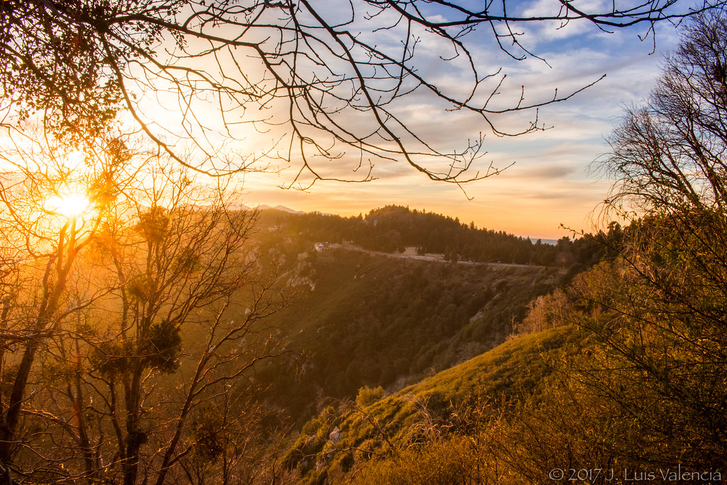
On the Rim of the World
Sunset at Rim of the World

Bridge at Sunset

Rim of the World Highway

Sunset at Rim of the World

#sanbernardinomountains #mountains #runningsprings #hwy18

Above it all

110-365 Fishing Reconnaissance
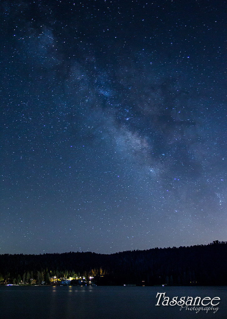
Milky Way over Big Bear

Mountain Creek
Topographic Map of CA-18, Running Springs, CA, USA
Find elevation by address:

Places near CA-18, Running Springs, CA, USA:
Pali Institute
Pali Adventures Summer Camp
1891 Nob Hill Dr
1957 Willow Dr
30903 Live Oak Dr
30901 Live Oak Dr
30922 Summit Dr
Live Oak Drive
2484 Spring Oak Dr
30489 Live Oak Dr
31496 Circle View Dr
43 Panorama Rd, Running Springs, CA, USA
31677 Panorama Dr
Running Springs
Mistletoe Dr, Running Springs, CA, USA
Farmers Insurance - Eric Price
Skypark At Santa's Village
28950 Ca-18
Cedar Glen
Craghill Dr, Cedar Glen, CA, USA
Recent Searches:
- Elevation of W Granada St, Tampa, FL, USA
- Elevation of Pykes Down, Ivybridge PL21 0BY, UK
- Elevation of Jalan Senandin, Lutong, Miri, Sarawak, Malaysia
- Elevation of Bilohirs'k
- Elevation of 30 Oak Lawn Dr, Barkhamsted, CT, USA
- Elevation of Luther Road, Luther Rd, Auburn, CA, USA
- Elevation of Unnamed Road, Respublika Severnaya Osetiya — Alaniya, Russia
- Elevation of Verkhny Fiagdon, North Ossetia–Alania Republic, Russia
- Elevation of F. Viola Hiway, San Rafael, Bulacan, Philippines
- Elevation of Herbage Dr, Gulfport, MS, USA