Elevation of C Rte, Saint-Vianney, QC G0J 3J0, Canada
Location: Canada > Québec > La Matapédia Regional County Municipality >
Longitude: -67.411096
Latitude: 48.615852
Elevation: 242m / 794feet
Barometric Pressure: 98KPa
Elevation Map:
Satellite Map:
Related Photos:
0149-IMG_5_0287p

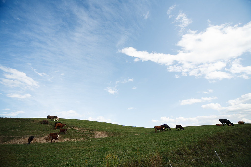
Près de Amqui, Québec
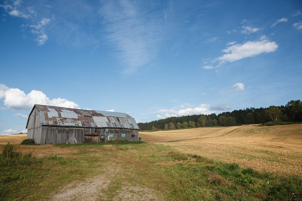
Vieille grange près de Amqui
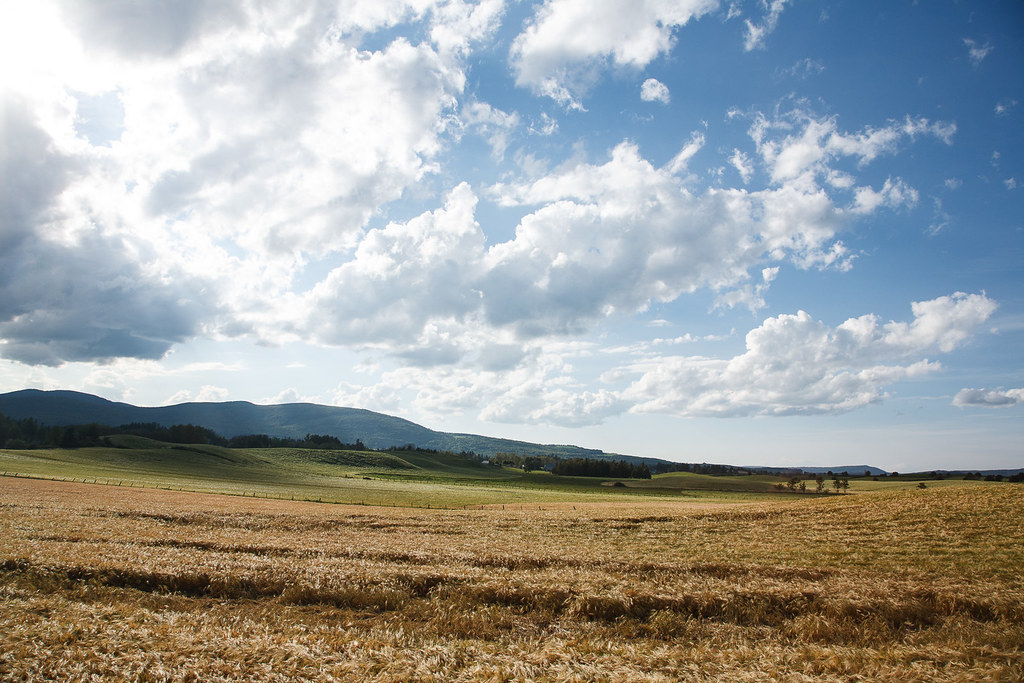
Vallée de la Matapédia, Québec

0143-IMG_5_0181p
Rundreise USA-Canada 17-15-47 Uhr 24. September 2009.jpg
DSC_0633 St.-Rene-De-Matane, Québec, Canada
Brun / Noir
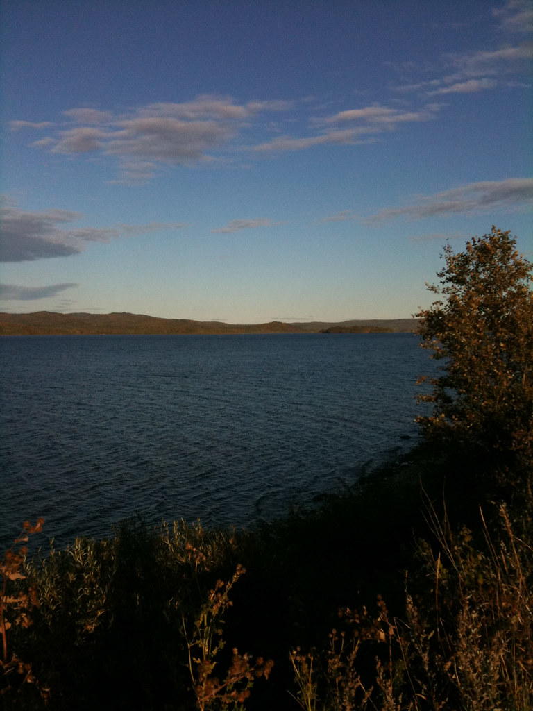
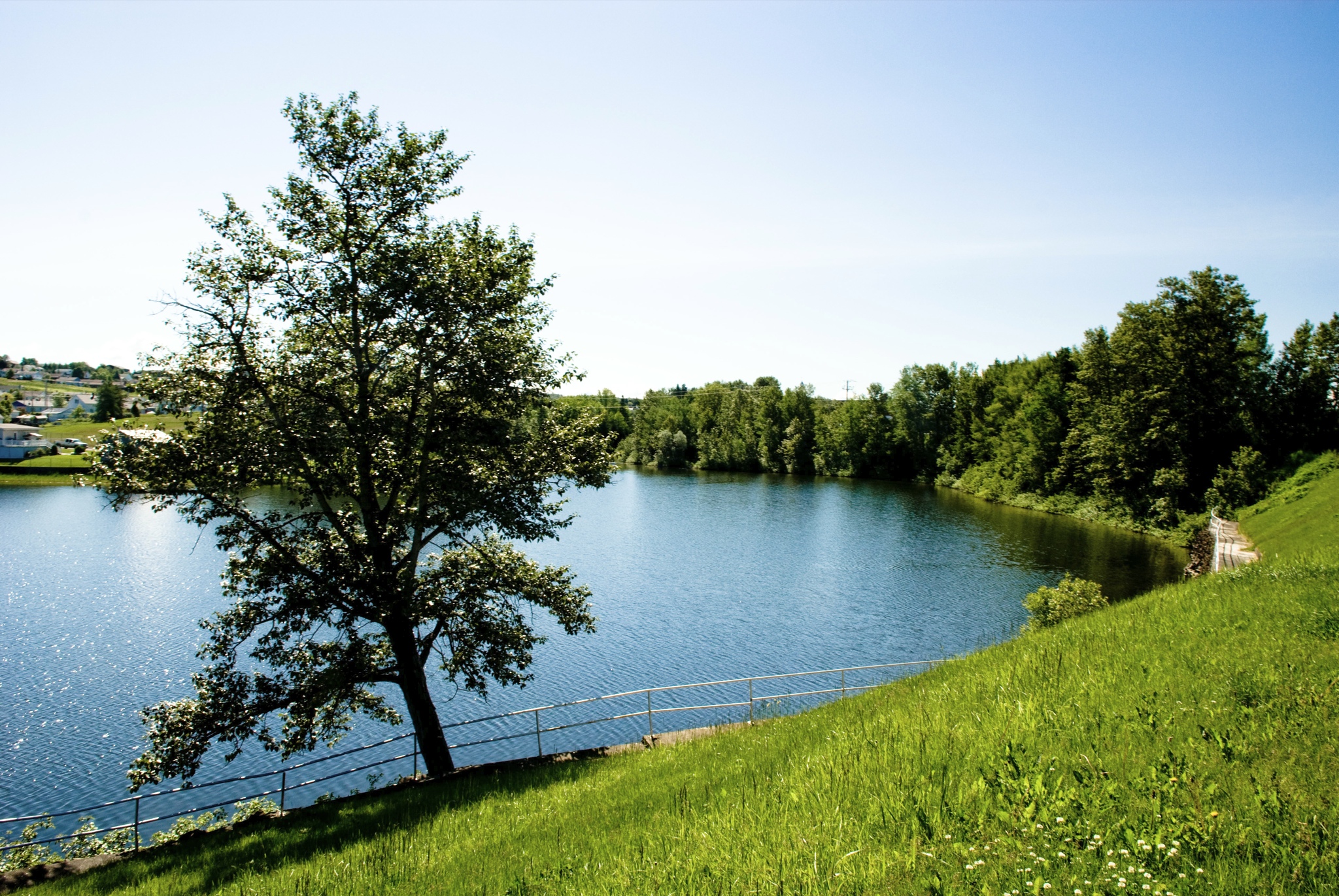
Lake Matapedia
DSC_0631 St.-Rene-De-Matane, Québec, Canada
Gaspésie

Going far far away.
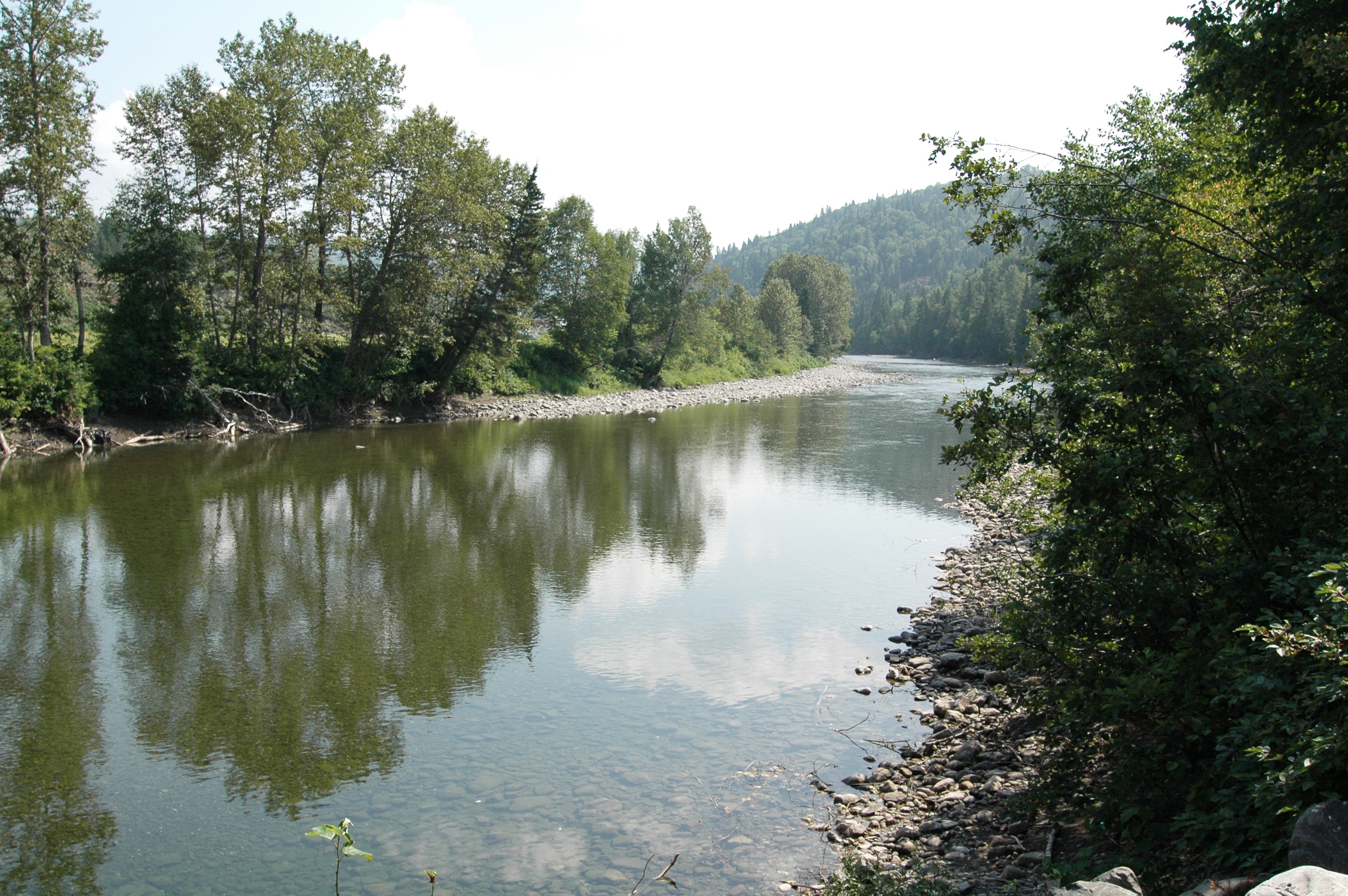
rivière Matane

Lake Matapedia

Lake Matapedia
Topographic Map of C Rte, Saint-Vianney, QC G0J 3J0, Canada
Find elevation by address:

Places near C Rte, Saint-Vianney, QC G0J 3J0, Canada:
Saint-rené-de-matane
4 Rue Martel, Saint-René-de-Matane, QC G0J 3E0, Canada
Amqui
Saint-rené-de-matane
28 3e Rang
1 Rue Noël, Matane, QC G4W 9G5, Canada
Saint-luc-de-matane
Causapscal
10e Rang
La Matanie Regional County Municipality
Rue Saint Augustin, Causapscal, QC G0J 1J0, Canada
La Matapédia Regional County Municipality
1 Rue de l'Église, Sainte-Marguerite-Marie, QC G0J 2Y0, Canada
Sainte-marguerite-marie
Sainte-marguerite
Les Méchins
Les Méchins
Route Bellevue E, Les Méchins, QC G0J 1T0, Canada
L'ascension-de-patapédia
Route du Village, Capucins, QC G0J 1H0, Canada
Recent Searches:
- Elevation of 62 Abbey St, Marshfield, MA, USA
- Elevation of Fernwood, Bradenton, FL, USA
- Elevation of Felindre, Swansea SA5 7LU, UK
- Elevation of Leyte Industrial Development Estate, Isabel, Leyte, Philippines
- Elevation of W Granada St, Tampa, FL, USA
- Elevation of Pykes Down, Ivybridge PL21 0BY, UK
- Elevation of Jalan Senandin, Lutong, Miri, Sarawak, Malaysia
- Elevation of Bilohirs'k
- Elevation of 30 Oak Lawn Dr, Barkhamsted, CT, USA
- Elevation of Luther Road, Luther Rd, Auburn, CA, USA