Elevation of Córrego Danta - State of Minas Gerais, Brazil
Location: Brazil > State Of Minas Gerais >
Longitude: -46.018188
Latitude: -19.784486
Elevation: 817m / 2680feet
Barometric Pressure: 92KPa
Elevation Map:
Satellite Map:
Related Photos:

Começa um novo dia
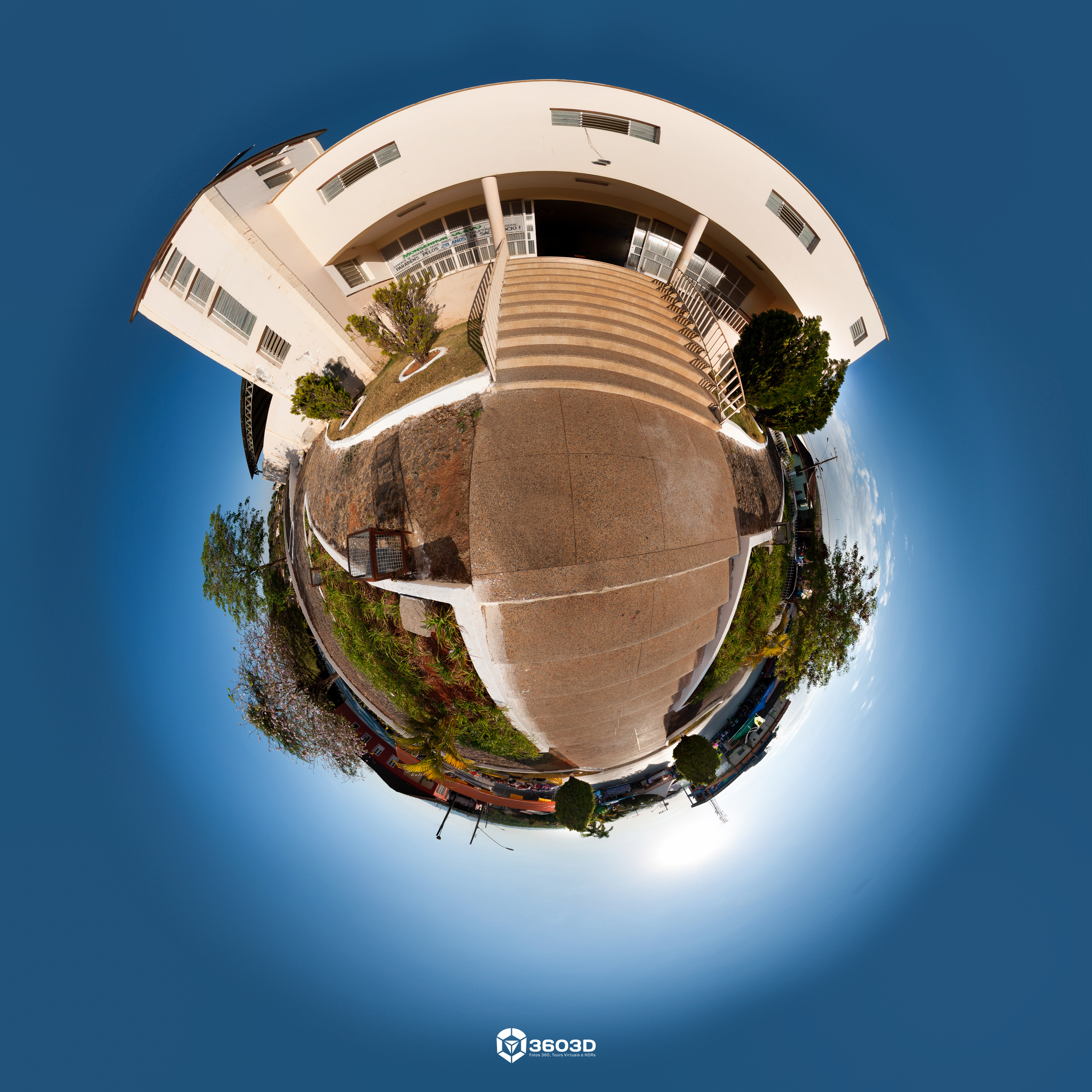
Fachada da Igreja Matriz de Córrego Danta

Lateral da Igreja Matriz de Córrego Danta

Reis e Rainhas da Festa do Rosário
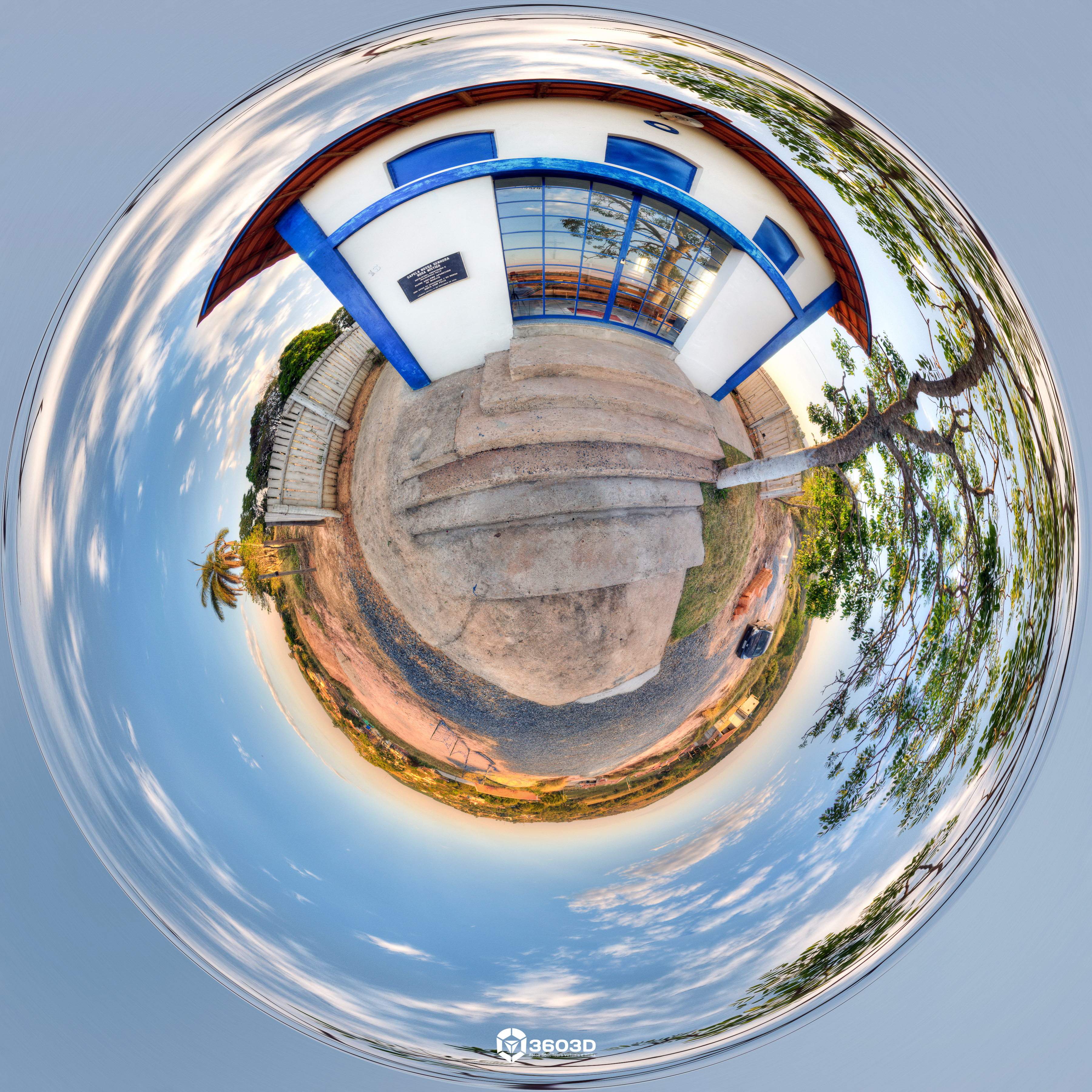
Igreja de Nossa Senhora Rosa Mística

#amora

.#Deboa

Mycteria americana

Web Target

Cyanocorax cristatellus
Topographic Map of Córrego Danta - State of Minas Gerais, Brazil
Find elevation by address:

Places in Córrego Danta - State of Minas Gerais, Brazil:
Places near Córrego Danta - State of Minas Gerais, Brazil:
BR-, Córrego Danta - MG, -, Brazil
Luz
BR-, 14, Luz - MG, -, Brazil
Southeast Region
Rod. José Roberto Pena, Bom Despacho - MG, -, Brazil
Bom Despacho
R. Lulú Malaquias, Bom Despacho - MG, -, Brazil
216-246
Capitólio
Rod. Sebastião Alves do Nascimento, Candeias - MG, -, Brazil
R. José Bernardino, Santana do Jacaré - MG, -, Brazil
Santana Do Jacaré
236-256
Recent Searches:
- Elevation of Yellow Springs Road, Yellow Springs Rd, Chester Springs, PA, USA
- Elevation of Rēzekne Municipality, Latvia
- Elevation of Plikpūrmaļi, Vērēmi Parish, Rēzekne Municipality, LV-, Latvia
- Elevation of 2 Henschke Ct, Caboolture QLD, Australia
- Elevation of Redondo Ave, Long Beach, CA, USA
- Elevation of Sadovaya Ulitsa, 20, Rezh, Sverdlovskaya oblast', Russia
- Elevation of Ulitsa Kalinina, 79, Rezh, Sverdlovskaya oblast', Russia
- Elevation of 72-31 Metropolitan Ave, Middle Village, NY, USA
- Elevation of 76 Metropolitan Ave, Brooklyn, NY, USA
- Elevation of Alisal Rd, Solvang, CA, USA