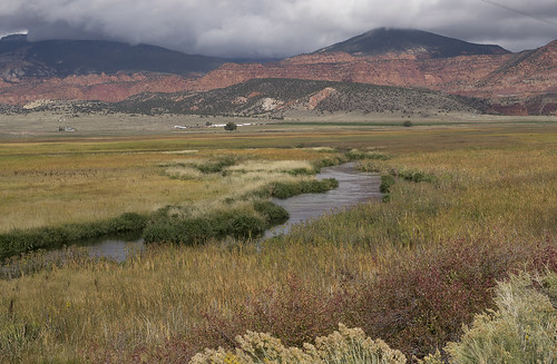
Elevation of C+G2, Loa, UT, USA

Location: United States > Utah > Wayne County >

Longitude: -111.64243

Latitude: 38.4013125

Elevation: 2152m / 7060feet

Barometric Pressure: 78KPa

Elevation Map:

elevation map of C+G2, Loa, UT, USA

Satellite Map:

Satellite map of C+G2, Loa, UT, USA

Related Photos:

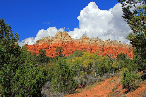
red usa southwest rock 1025fav 510fav landscape utah sandstone day cloudy 100v10f polarizer sandcreek waynecounty 100vistas instantfave ashotadayorso orig:file=20120601eos30d190901000
Cliffs Above Sand Creek
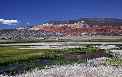
15fav usa southwest water utah waynecounty 100vistas instantfave fremontriver betterthangood ashotadayorso ut24 nopin bicknellbottoms thousandlakesmountain orig:file=20110622eos30d13200
Bicknell Bottoms and Cliffs
15fav usa landscape utah nationalpark calendar capitolreef wonderland 2008 100vistas instantfave shutterbox ashotadayorso track:views=on nopin
Velvet Ridge, Torrey
morman utah rockymtns ranch cattle sheep coyotes lion blueskies
Ranch Country of Central Utah
The Intermountain West
Utah Ranch Country....... Explore April 19
nationalparks utha usa landscape cliff rock canyon redplanet mars mountainside valley outdoor nikon nikond7000
Capitol Reef National Park - Red Planet in Earth
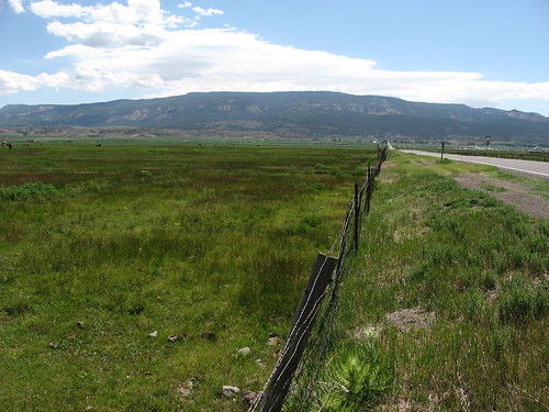
utah wayne
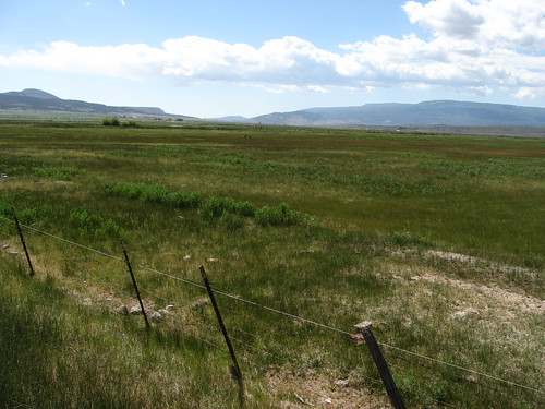
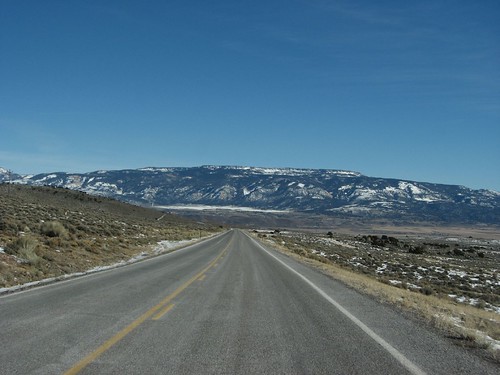
S.R. 24 Between Loa and Lyman, Utah Looking South Towards Boulder Mountain
winter 15fav usa snow utah waynecounty club100 instantfave weatherphotography nopin orig:file=20120214elph310hs06551000
Red Canyon Draw in Snow
southwest west america utah wayne capitolreef capitolreefnp redrock capitolreefnationalpark
Dropping into Loa, Utah
southwest west america utah wayne capitolreef capitolreefnp redrock capitolreefnationalpark
Dropping into Rabbit Valley near Loa, Utah
15fav usa 510fav landscape utah sandstone waynecounty greatwesterntrail fishlakenationalforest 100vistas instantfave ashotadayorso orig:file=20130916eos60d11604
Great Western Trail, 16 September 2013 (1)
Planted a whole metric shload of apple trees today with @anntorrence and @robertmarc60
utah fishlake doctorcreekcampground lakesidenationalrecreationtrail lakesidenrt doctorcreek panorama pano summer2018
Lakeside NRT
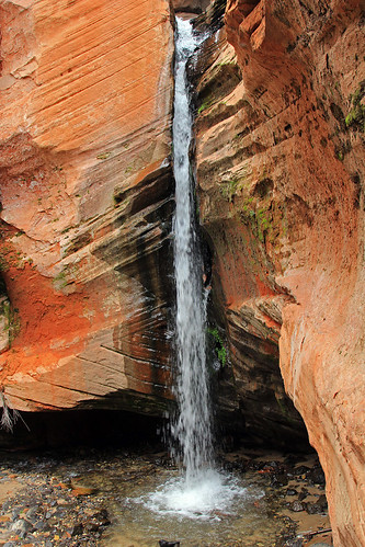
15fav usa water utah waterfall sandstone sandcreek waynecounty fishlakenationalforest 100vistas instantfave ashotadayorso orig:file=20130916eos60d11828800
Waterfall, Sand Creek, 16 September 2013 (4)
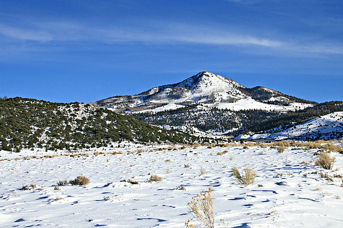
winter 15fav usa mountain snow cold utah seviercounty 100vistas instantfave weatherphotography ut72 nopin
Hen Hole Peak, Utah
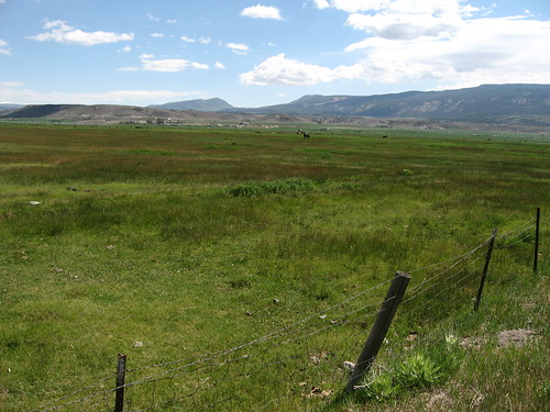
utah wayne
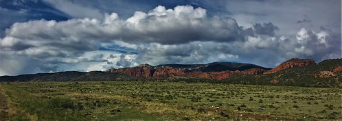
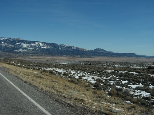
S.R. 24 Between Loa and Lyman, Utah, Looking Towards Thousand Lake Mountain
utah wayne
S.R. 24 Between Loa and Lyman, Utah, Looking North Towards Fremont, Utah
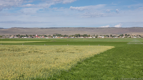
lyman utah unitedstates us roadtrip road pov trip travel canon 5div geo landscape lrcc vacation topography
20170728 5DIV Utah 56
sunglo coloradoplateau bicknellutah
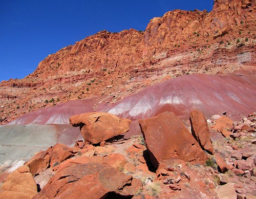
Sunglo Canyon near Bicknell, Utah
thousandlakemountain bicknellbottoms southernutah
Fremont River runs through Bicknell Bottoms beneath Thousand Lake Mountain