Elevation of Butts Rd, Steelville, MO, USA
Location: United States > Missouri > Crawford County > Courtois Township >
Longitude: -91.175341
Latitude: 37.9924437
Elevation: 210m / 689feet
Barometric Pressure: 99KPa
Elevation Map:
Satellite Map:
Related Photos:
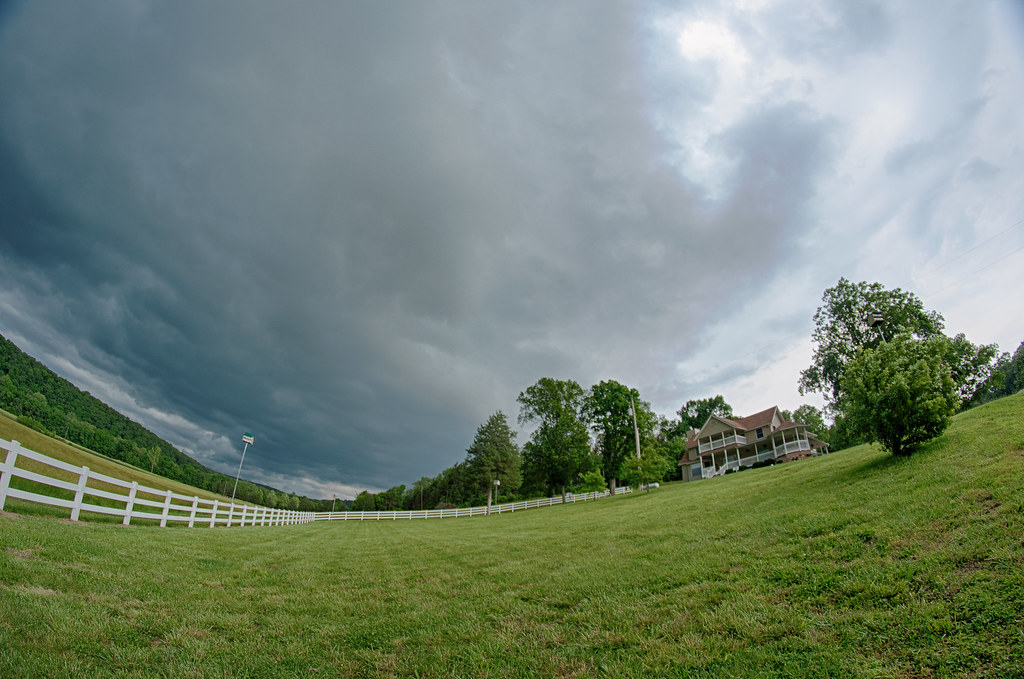
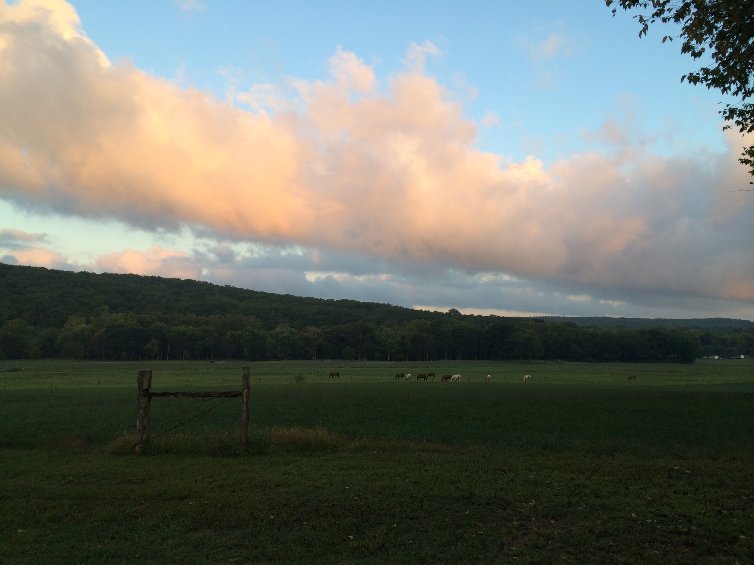
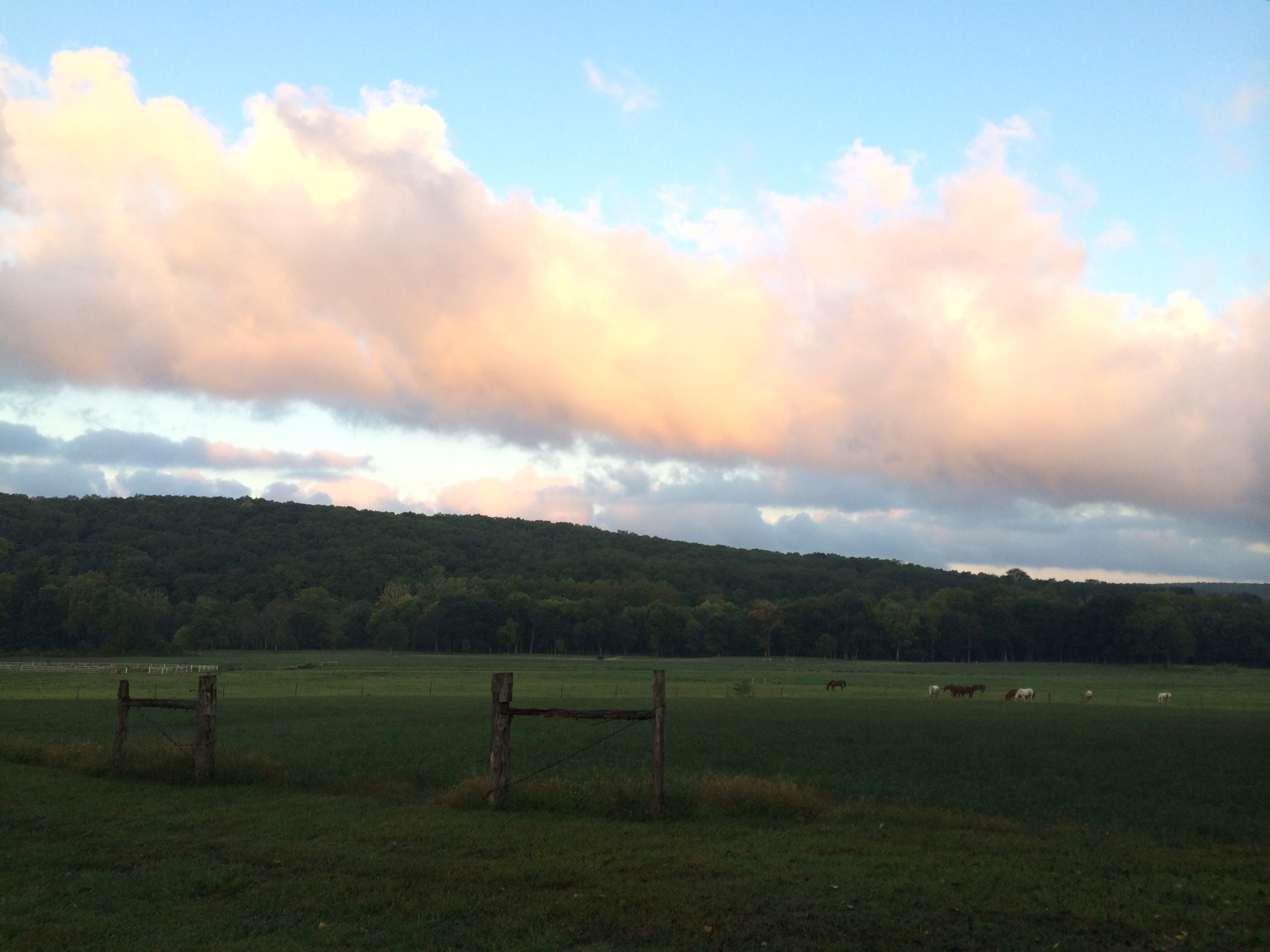
Storm Rolling In Over Devil's Rope Ranch
Camping at Berryman Trail & Camp
Vilander Bluffs
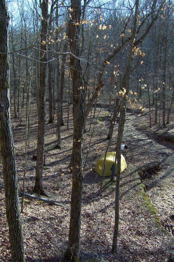
Our campsite in Smith Mill Hollow
14 Rally
Steelville, MO area
HV sunrise 9-14
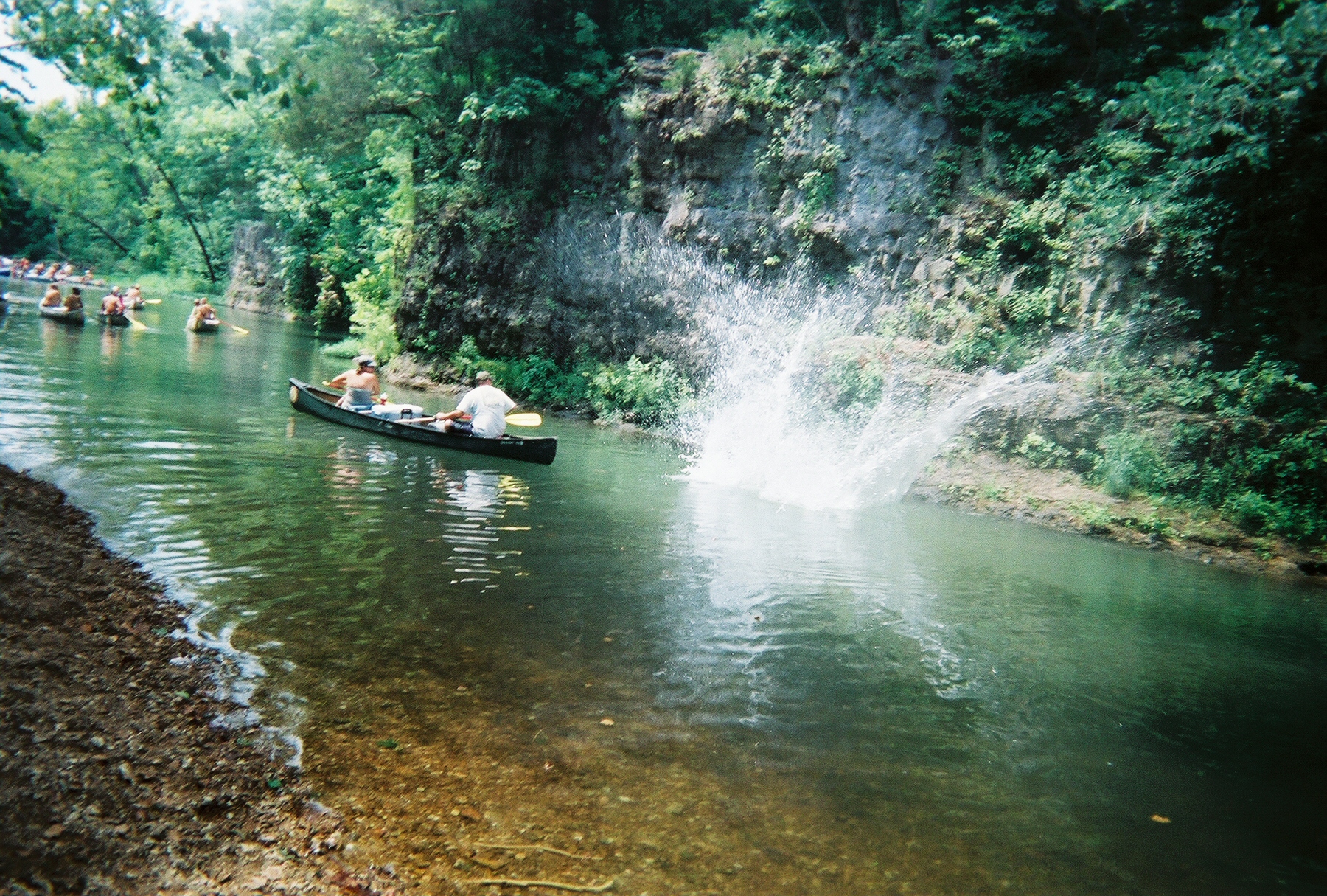
William's first float trip 7/17/08
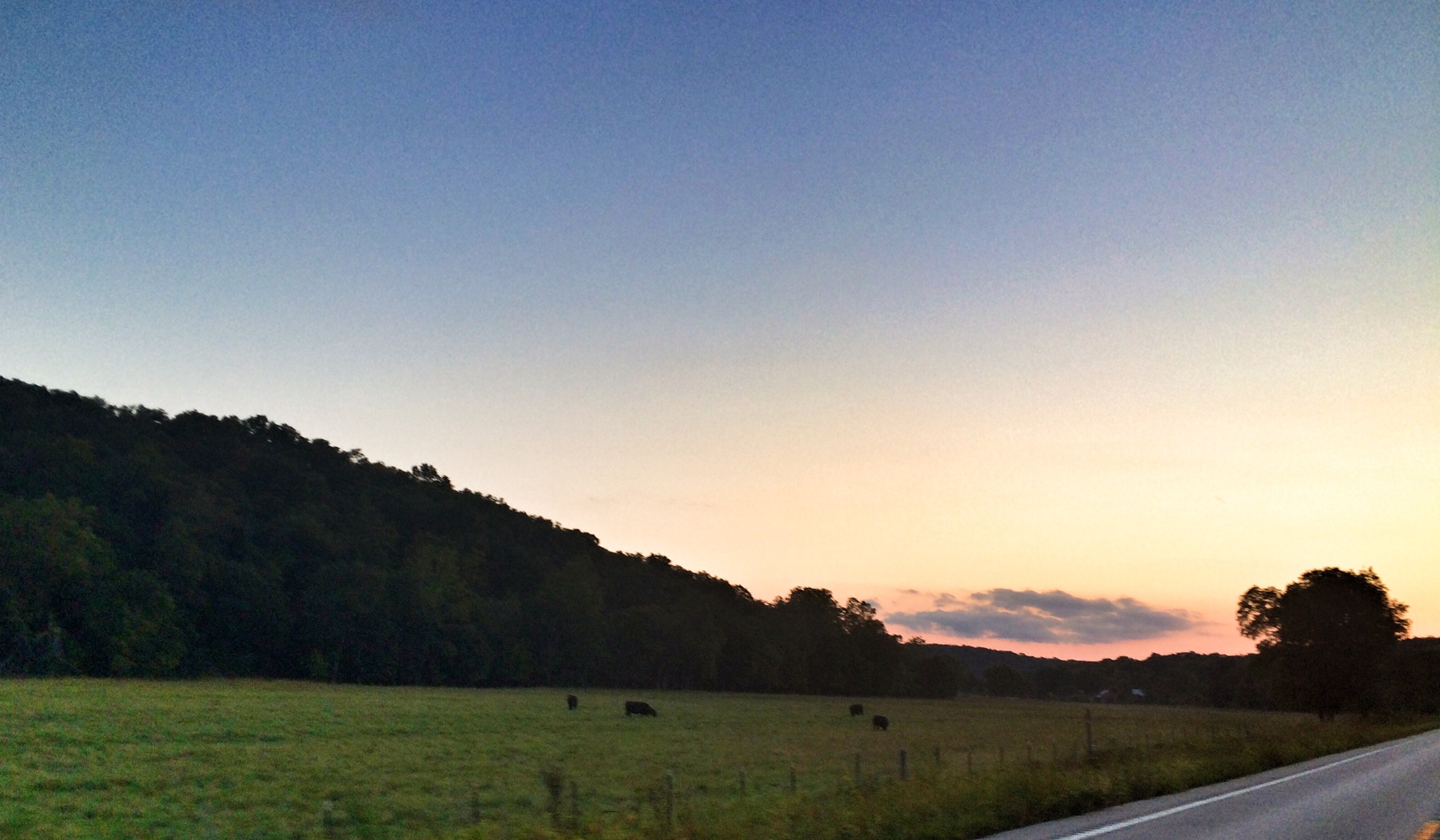
HV sunrise 9-14

Calming Campsite
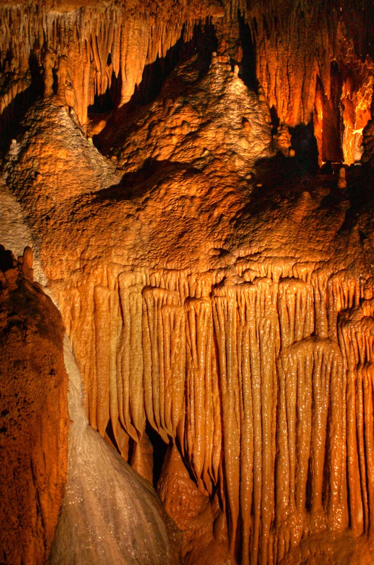
Onondaga cave
IMG_0269.jpg
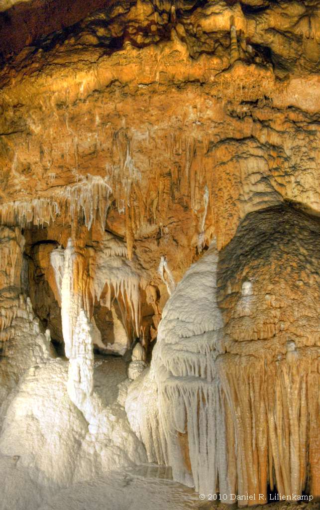
Onondaga Cave 18

Onondaga Cave 06
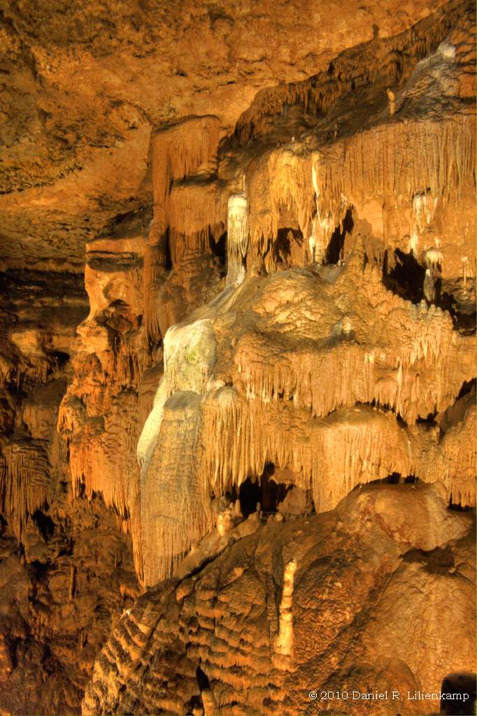
Onondaga Cave 07
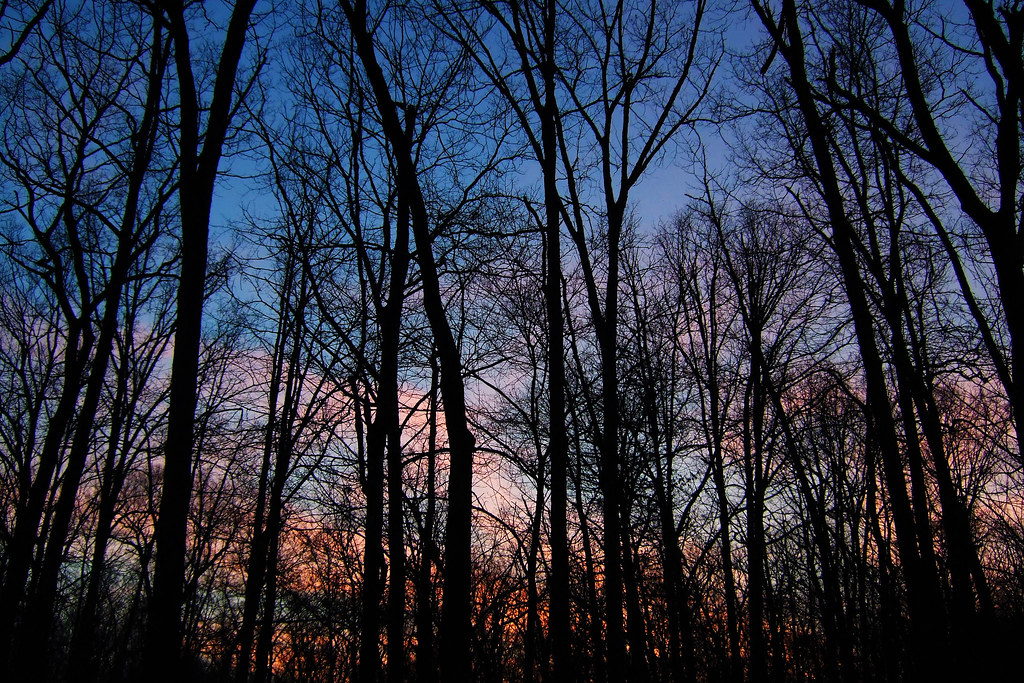
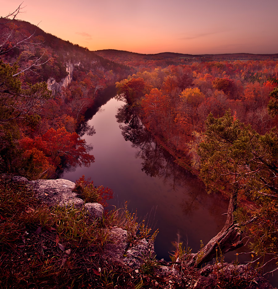
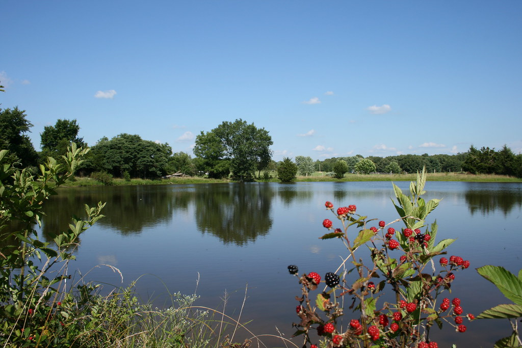
Sundown at Little Brazil Creek, Missouri
Topographic Map of Butts Rd, Steelville, MO, USA
Find elevation by address:

Places near Butts Rd, Steelville, MO, USA:
698 Owls Hollow Rd
Liberty Township
State Hwy N, Bourbon, MO, USA
Blue Springs Ranch
10081 Anthonies Mill Rd
Crawford County
216 W Hickory Ridge Rd
Boone Township
631 Frisco St
Bourbon
Saint Cloud
Johnson Township
North Service Rd W, Bourbon, MO, USA
North Hobby Hut Road
Meramec Township
Sullivan
36 Taylor St, Sullivan, MO, USA
Benton Township
MO-, Sullivan, MO, USA
Cuba
Recent Searches:
- Elevation of Bernina Dr, Lake Arrowhead, CA, USA
- Elevation of N 82nd Pl, Mesa, AZ, USA
- Elevation of Snake Hill Rd, North Scituate, RI, USA
- Elevation of Lake Shore Dr, Warwick, RI, USA
- Elevation of E Brightview Ave, Pittsburgh, PA, USA
- Elevation of Cavendish Rd, Harringay Ladder, London N4 1RR, UK
- Elevation of 1 Zion Park Blvd, Springdale, UT, USA
- Elevation of Ganderbal
- Elevation map of Konkan Division, Maharashtra, India
- Elevation of Netaji Nagar, Hallow Pul, Kurla, Mumbai, Maharashtra, India