Elevation of Buttermilk Rd W, Kingston, TN, USA
Location: United States > Tennessee > Roane County > Kingston >
Longitude: -84.390458
Latitude: 35.8700662
Elevation: 258m / 846feet
Barometric Pressure: 98KPa
Elevation Map:
Satellite Map:
Related Photos:

The movie murals of the Lyric Theater
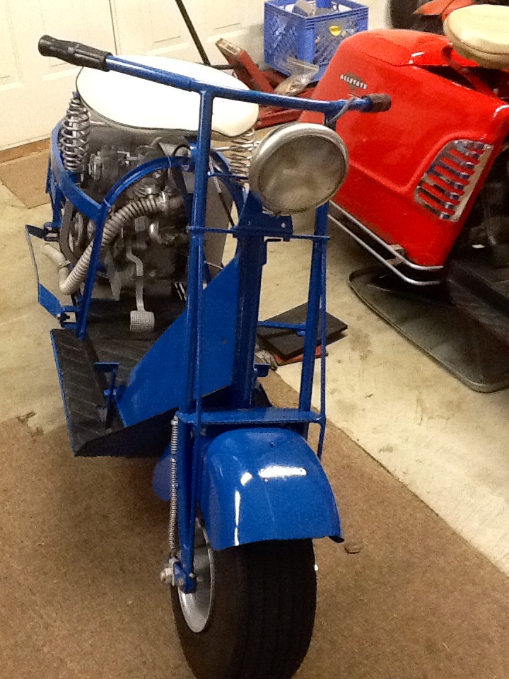
Front view of Cushman model 53A
Sharp View

Sharp Lot 7 View
Sharp View

Rear view

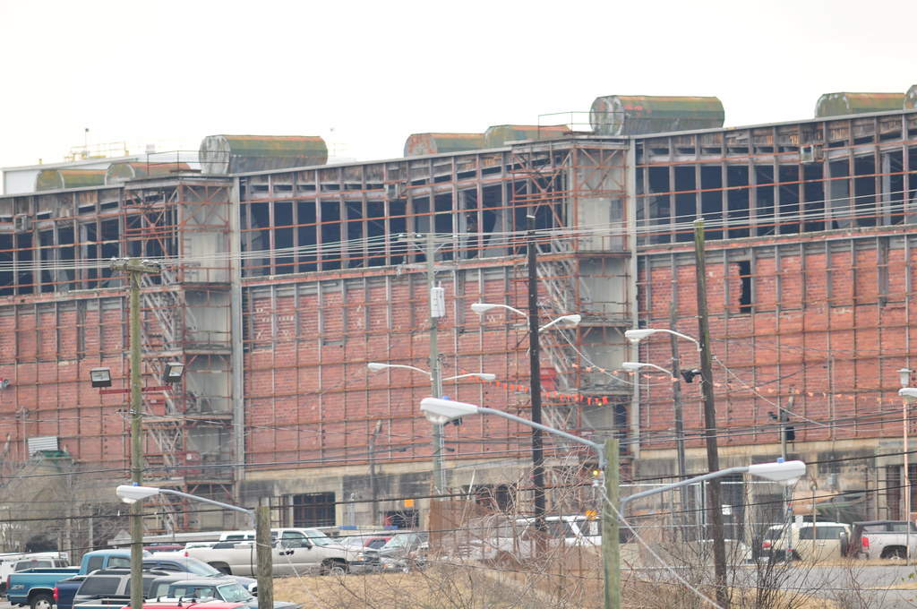
Old Miller & Brewer Company

Old Miller & Brewer Company
K-33

Old Miller & Brewer Company

K-31

First Christian Church Harriman
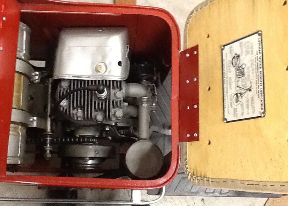
Inside views of 1947 Cushman model 52.
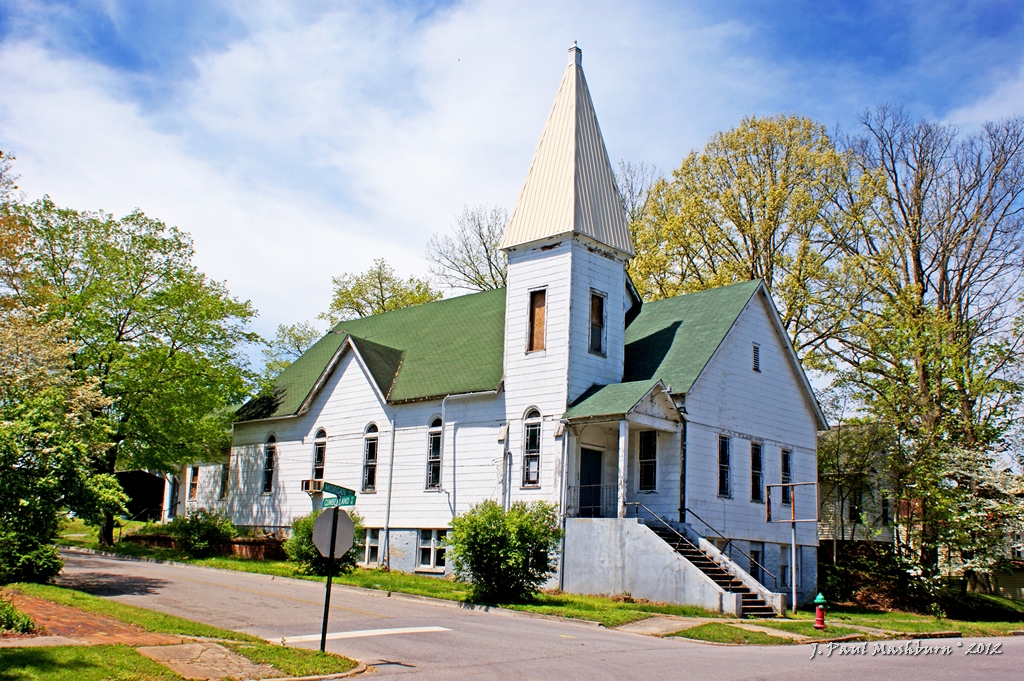
First Christian Church Harriman 2
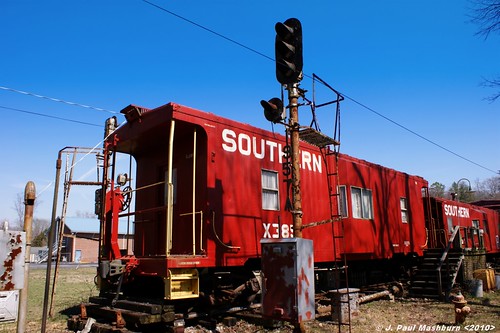
Joe Davis' Railroad Collection
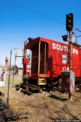
Joe Davis' Railroad Collection
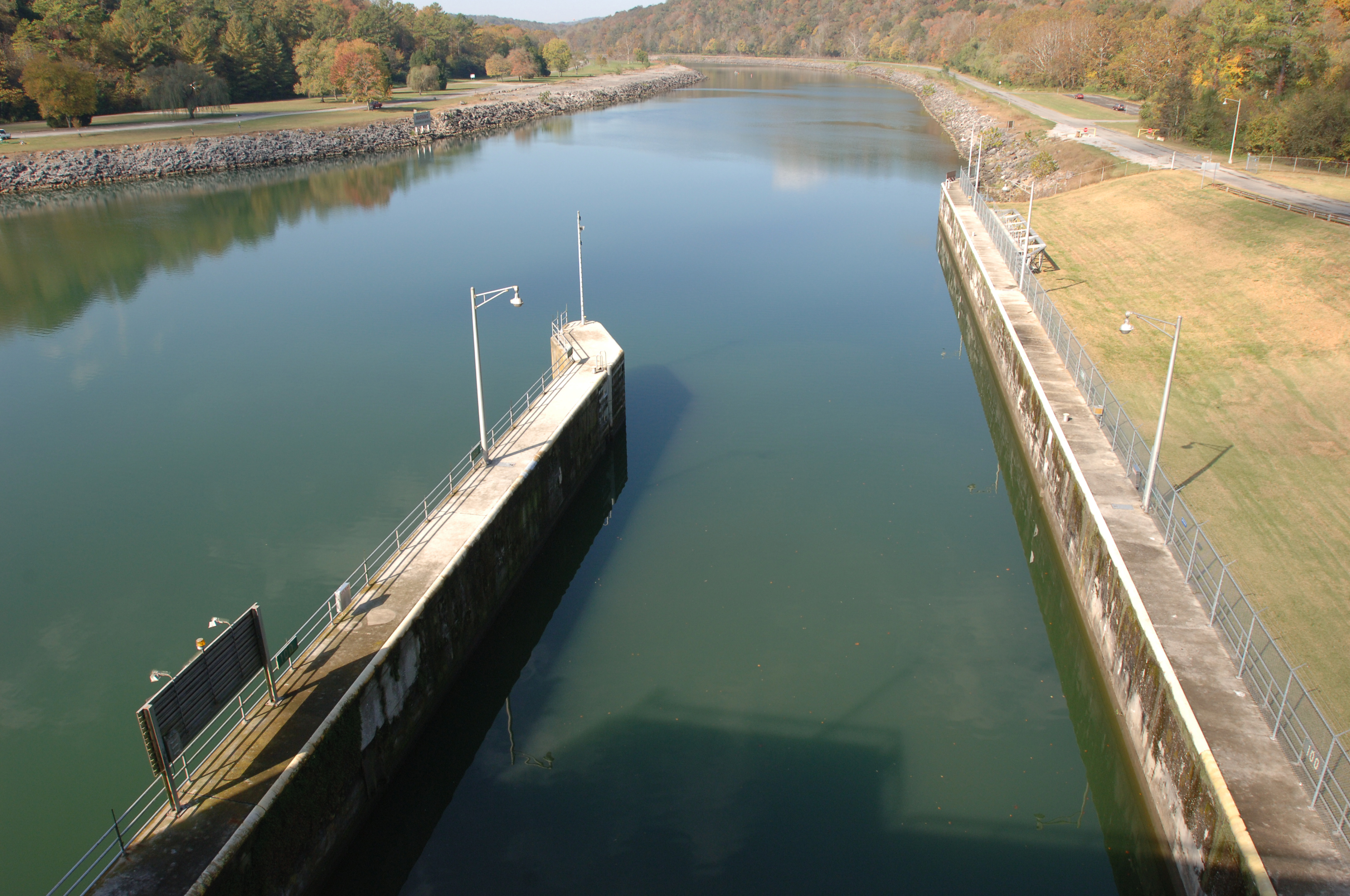
Melton Hill Lock
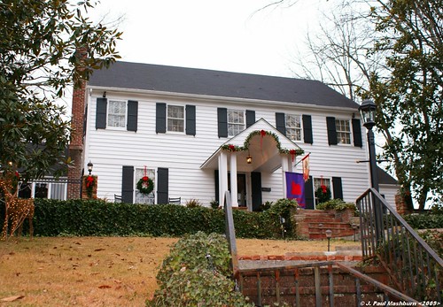
Tarwater-Knoblock Residence

Kingston Fossil Plant

THE 2011 SUPER MOON
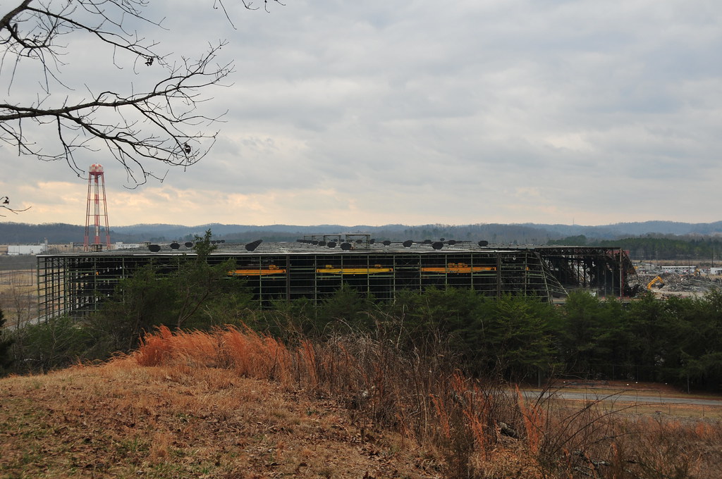
K-25 east wing
Sharp Lot 1b

Sharp Lot 10d
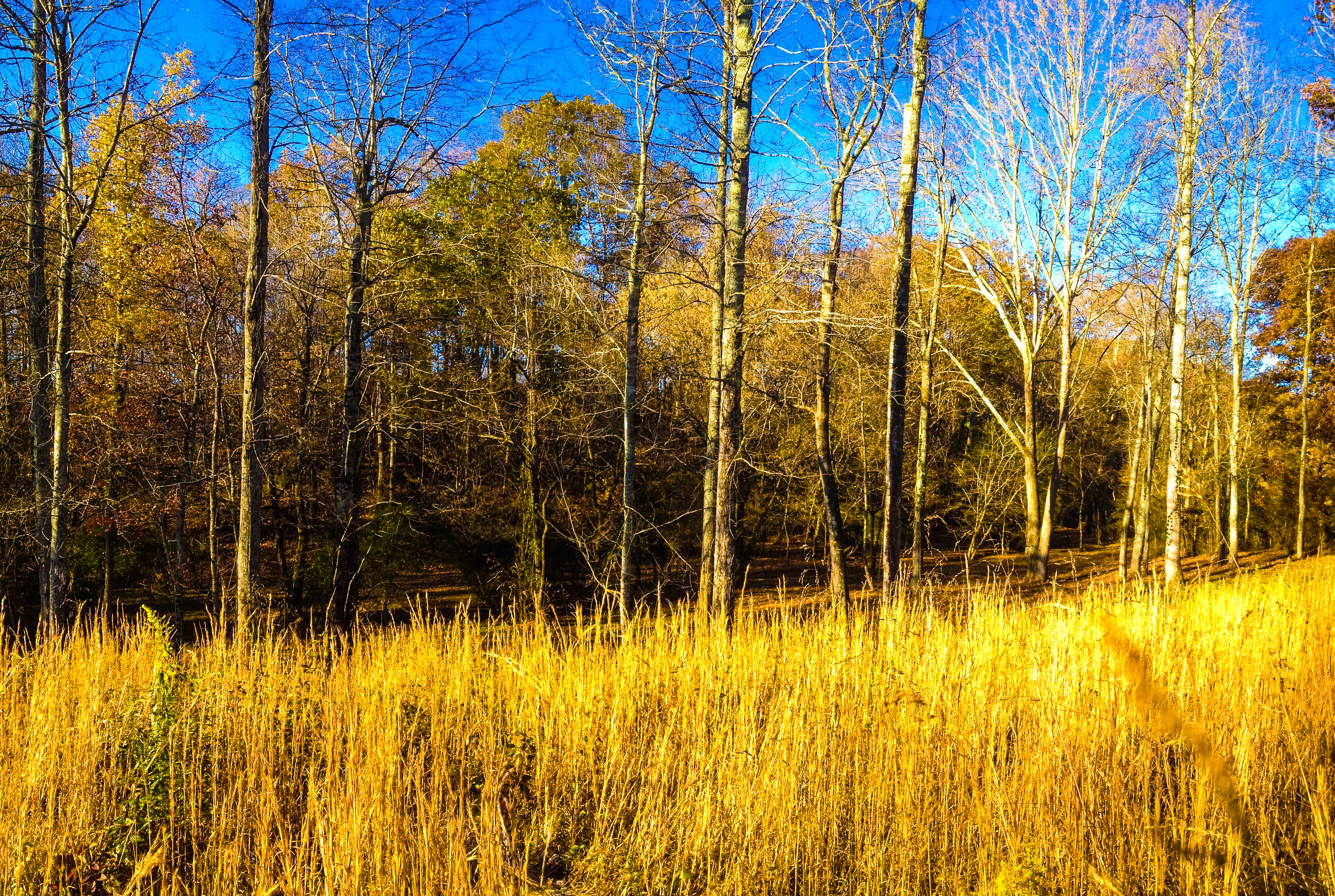
Sharp Lot 10d

Sharp Lot 1b
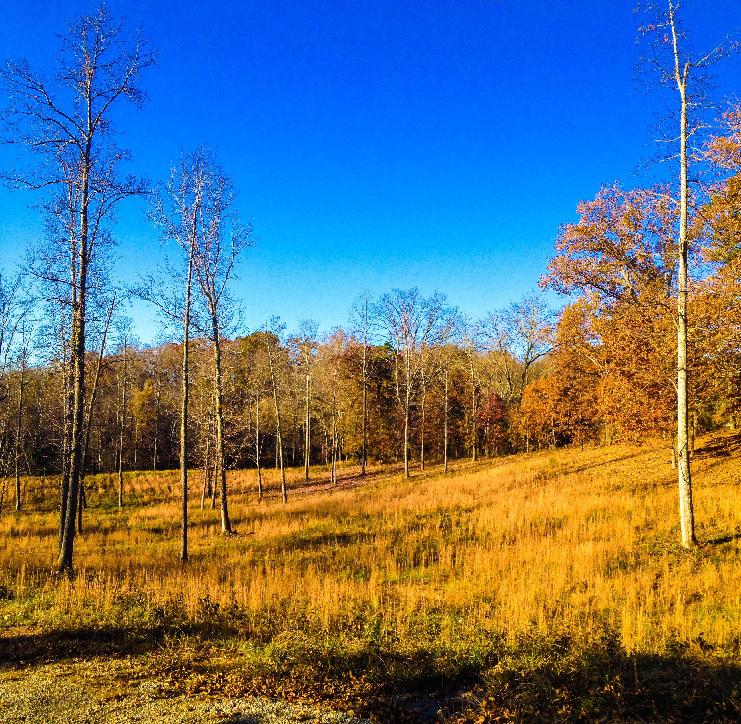
Sharp Lot 10c
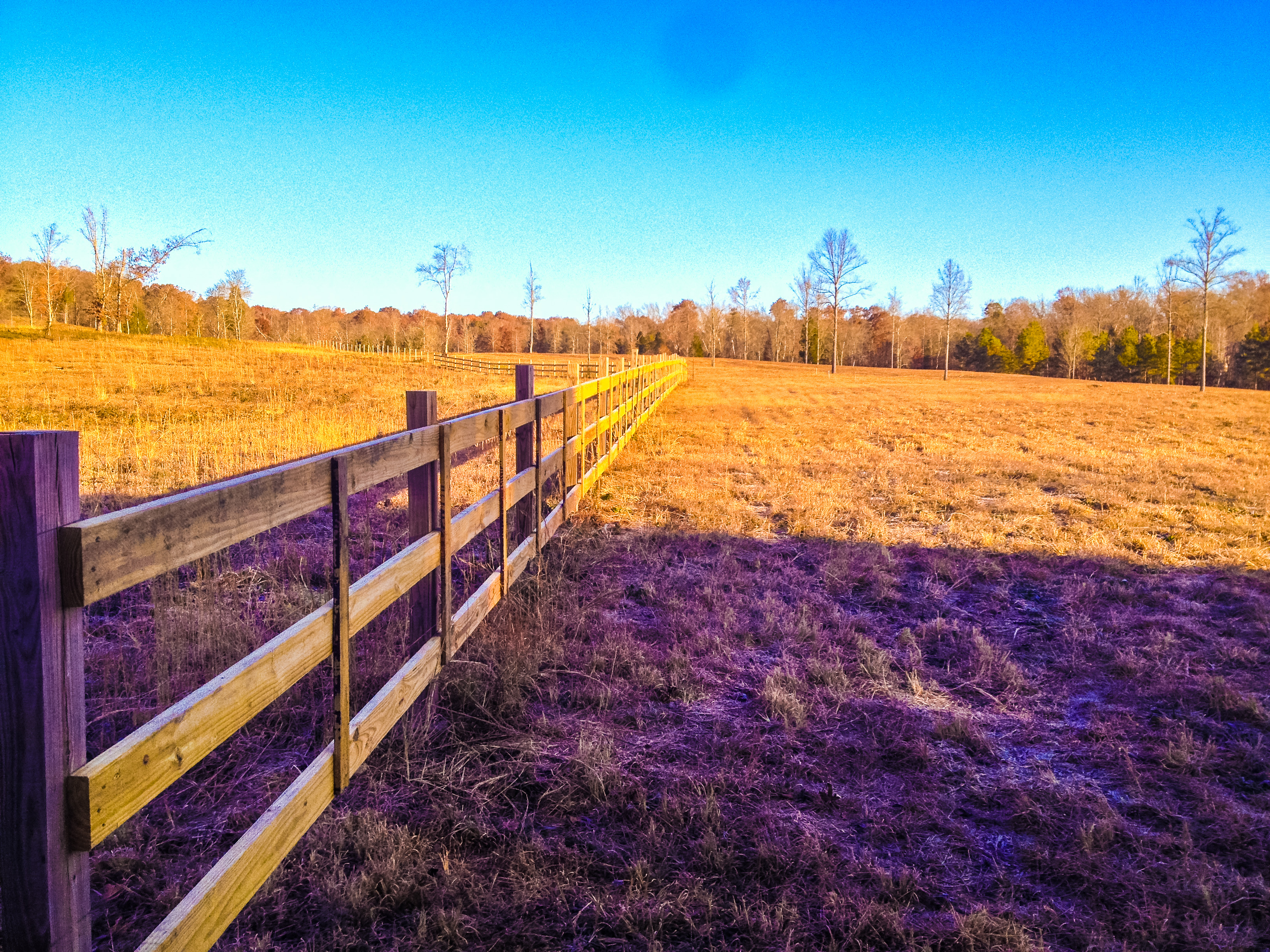
Sharp Lot 1d
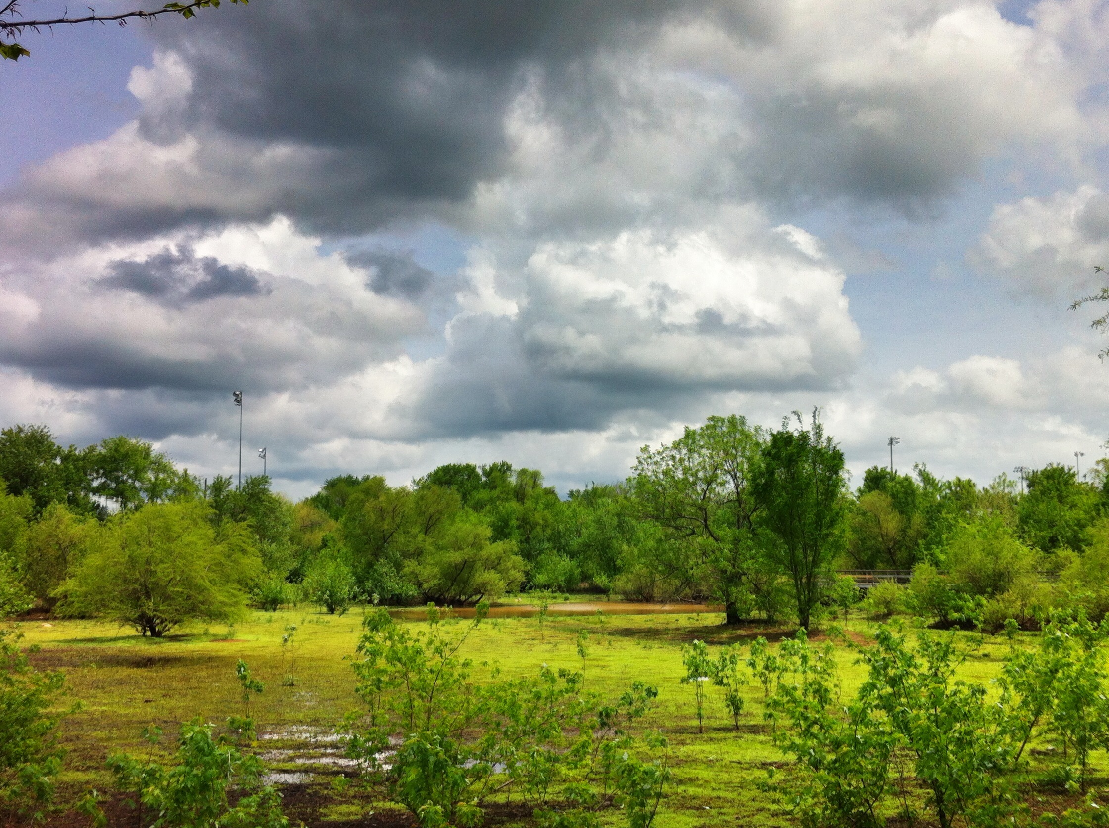
HDR Nature Vomit

Sharp Lot 1d

Sharp Lot 10b

Sharp Lot 10b

lakeside sunset
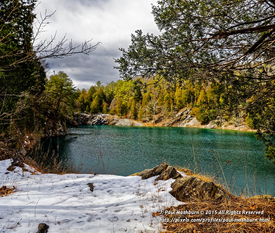
East Quarry
East Quarry

East Quarry
Sharp Lot 10e

Clinch river at Melton Hill Dam. #tnlakes #clinchriver #meltonhilldam #clouds #weather #clearingstorm #iphone
Quarry Road Trail

Sharp Lot 10e

#Tennessee #roadtrip

2012-05-24 21.03.56
Topographic Map of Buttermilk Rd W, Kingston, TN, USA
Find elevation by address:

Places near Buttermilk Rd W, Kingston, TN, USA:
Pineberry East Rd, Oak Ridge, TN, USA
103 Merriwater Way
161 Youngs Creek Way
Picket Place By D.r. Horton America's Builder
429 High St
504 Kings Cl
1007 Northbridge Cl
Kingston
Alice St, Harriman, TN, USA
1016 Swan Pond Cir Rd
Rock Bridge Rd, Harriman, TN, USA
Vann Rd, Harriman, TN, USA
Clinch River
132 Mountain View Rd
115 Old Rockwood Hwy
175 Rebel Rd
Rebel Road
Fairview Rd, Oliver Springs, TN, USA
Coalfield
653 Hassler Mill Rd
Recent Searches:
- Elevation of Leyte Industrial Development Estate, Isabel, Leyte, Philippines
- Elevation of W Granada St, Tampa, FL, USA
- Elevation of Pykes Down, Ivybridge PL21 0BY, UK
- Elevation of Jalan Senandin, Lutong, Miri, Sarawak, Malaysia
- Elevation of Bilohirs'k
- Elevation of 30 Oak Lawn Dr, Barkhamsted, CT, USA
- Elevation of Luther Road, Luther Rd, Auburn, CA, USA
- Elevation of Unnamed Road, Respublika Severnaya Osetiya — Alaniya, Russia
- Elevation of Verkhny Fiagdon, North Ossetia–Alania Republic, Russia
- Elevation of F. Viola Hiway, San Rafael, Bulacan, Philippines