Elevation of Butterfield St, Loma Linda, CA, USA
Location: United States > California > San Bernardino County > Loma Linda >
Longitude: -117.23669
Latitude: 34.0422152
Elevation: 380m / 1247feet
Barometric Pressure: 97KPa
Elevation Map:
Satellite Map:
Related Photos:
Mount Rubidoux with wildflowers

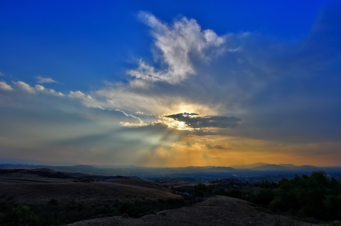
Sunset Valley I

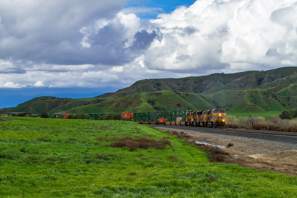
ATK 714E @ El Casco

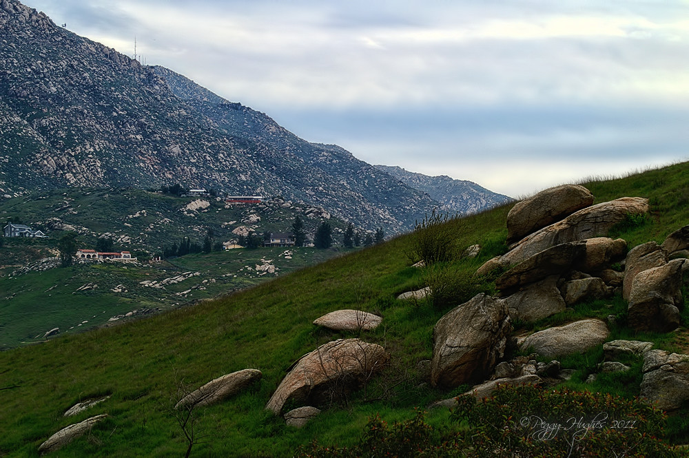
Valley View

the view from here [7:52]
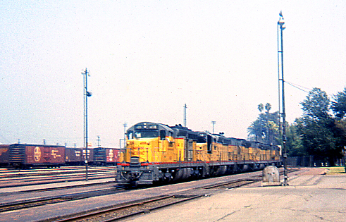
UP Westbound @ San Bernardino

Back From the Desert

Not Too Shabby

sunny rear view

Original to these lands.

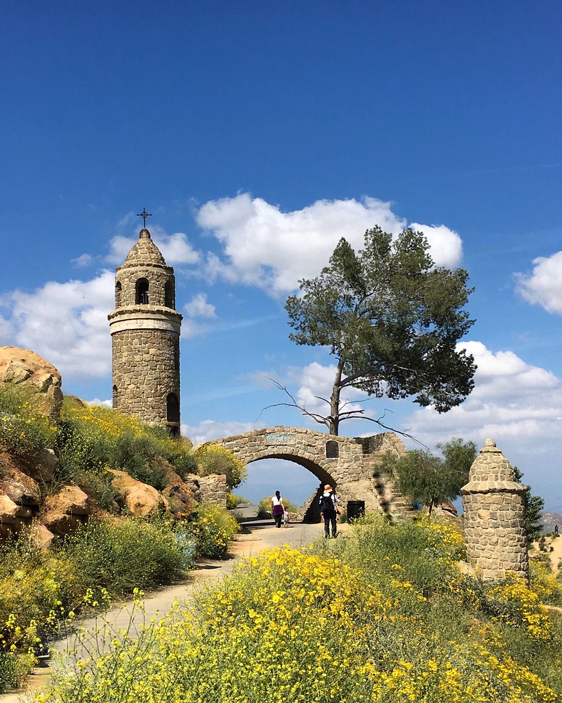
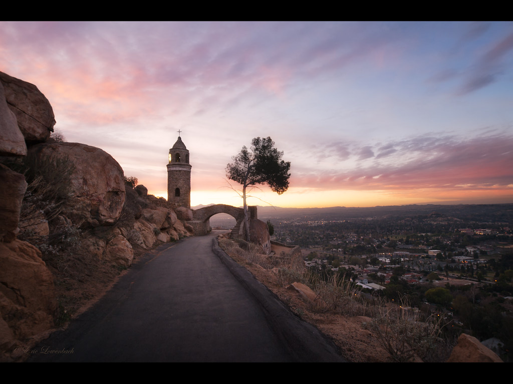
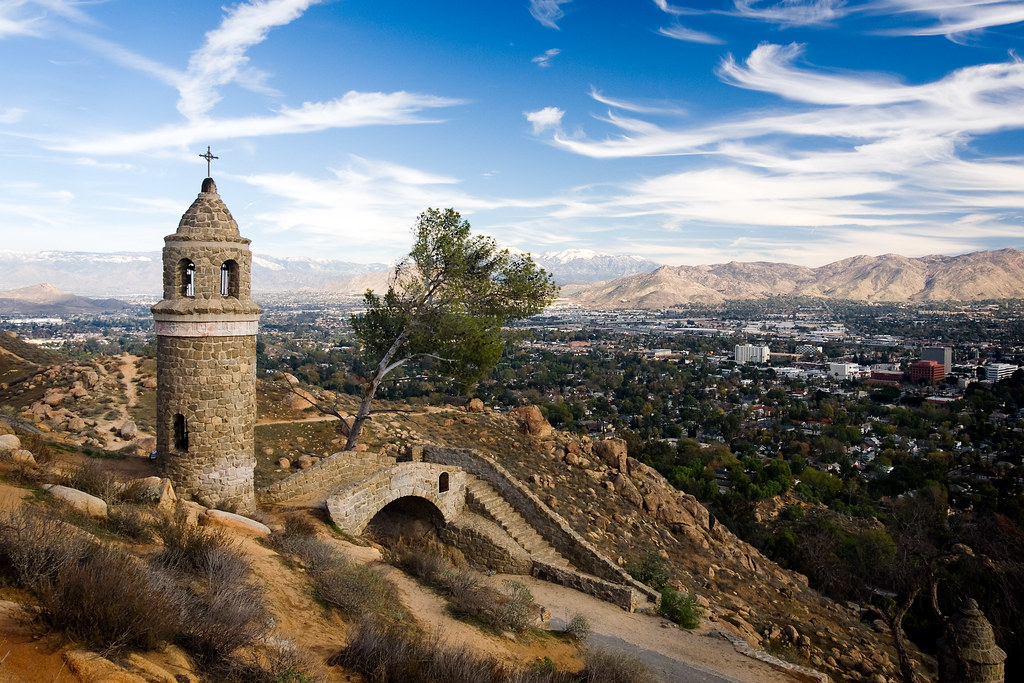
golden dome 4

Live Oak Farms, Wagon 12-9-12
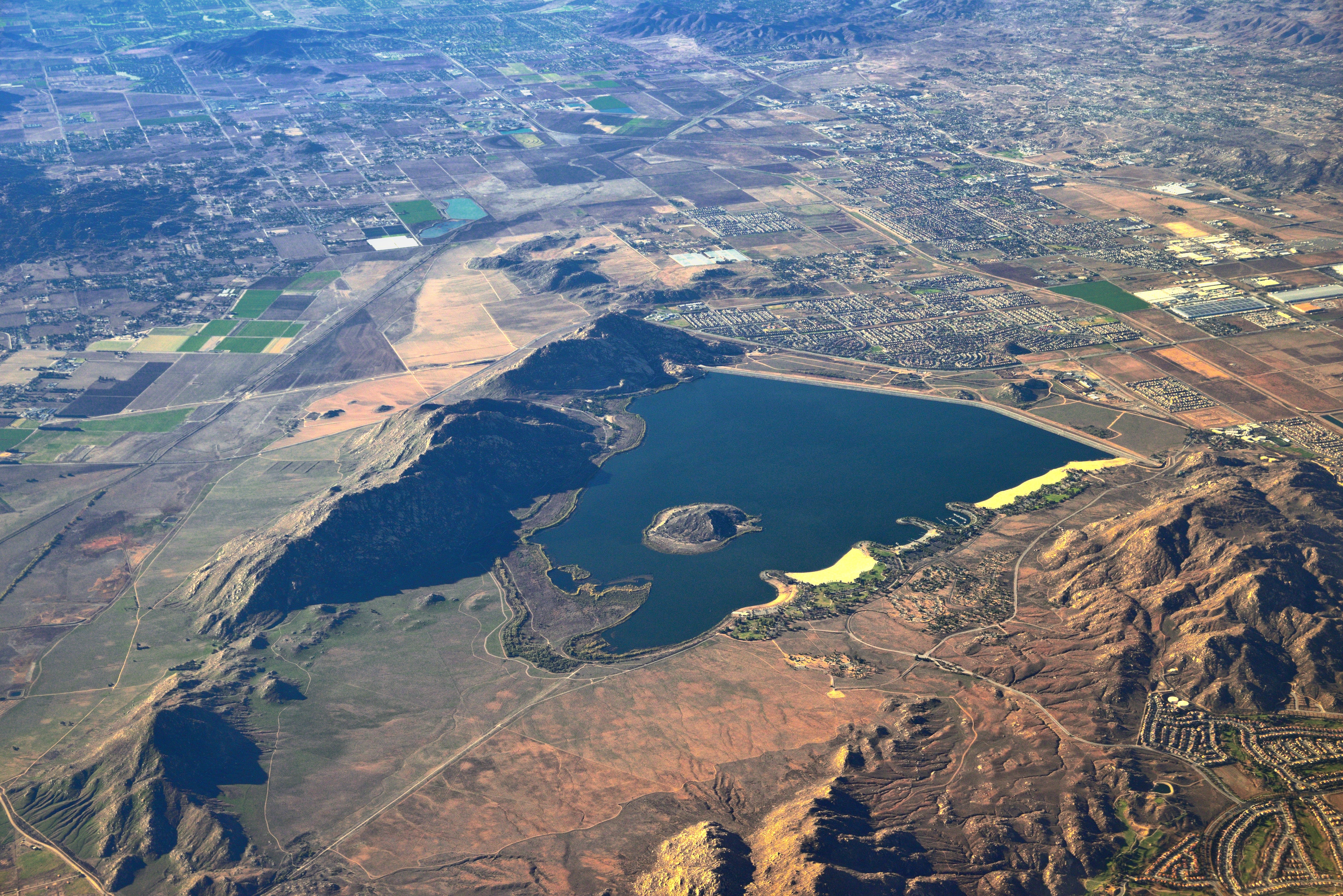
Lake Perris, Surrounded by Hills and Mountains

A Face Only UP Could Love
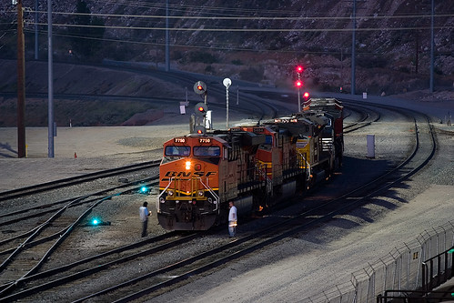
BNSF 7750 under the lights
When You Sleep
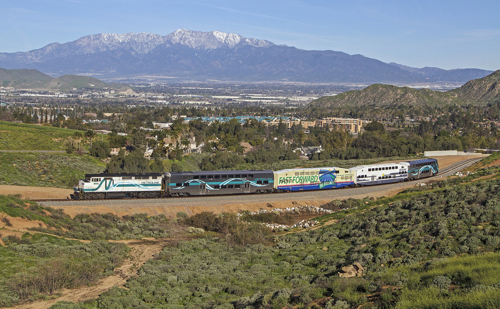
Metrolink in the Mountains
Better Blue Than Yellow Bonnet
Thanks a Million
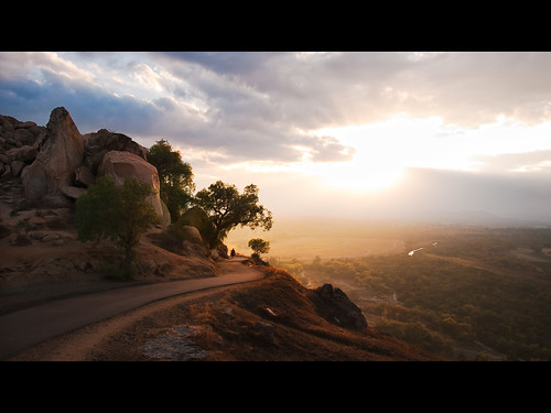
another view...
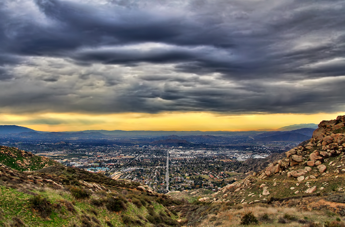
Storm over the Inland Empire
Afternoon Clouds
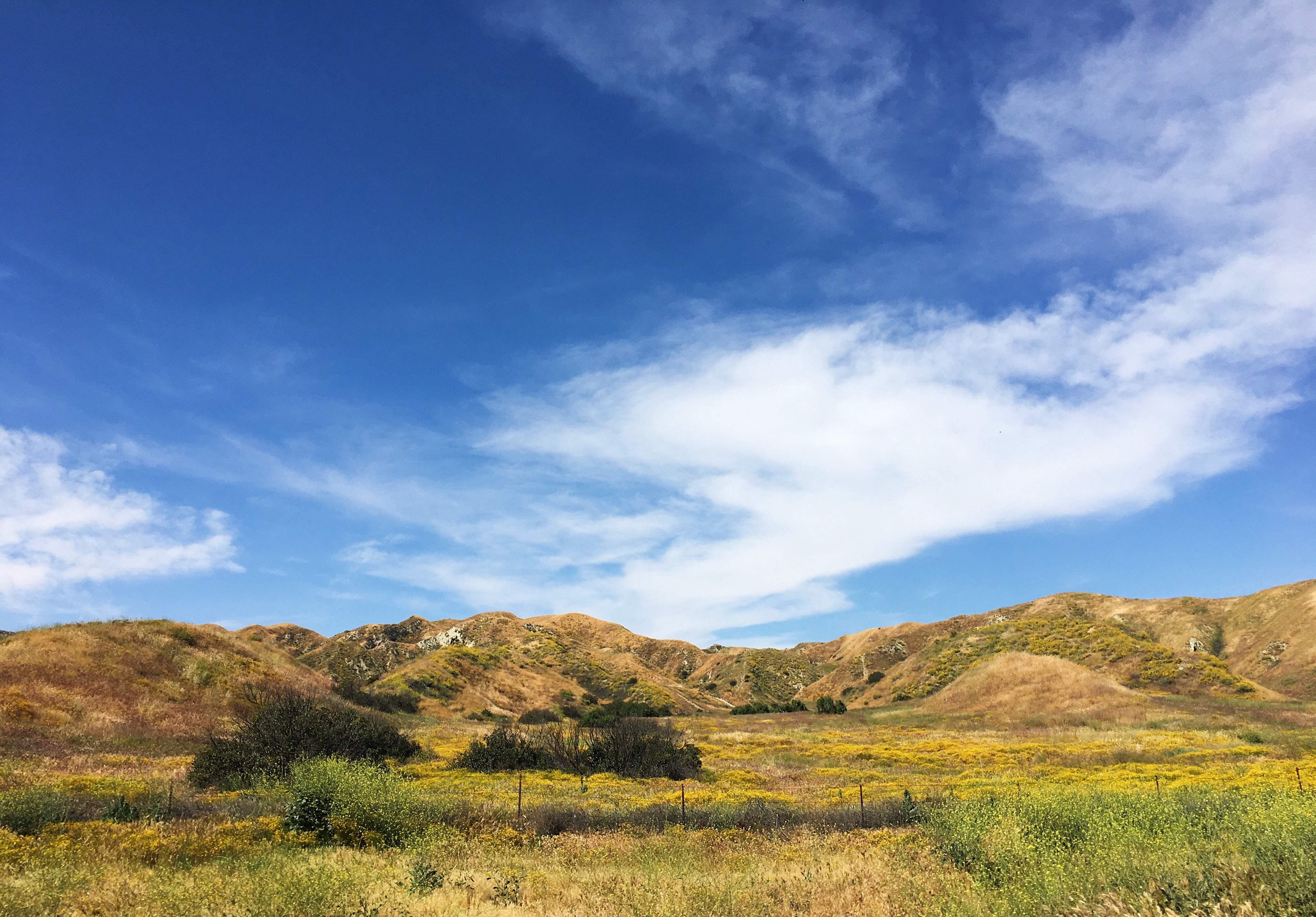
Lush Hills

palm trees. north redlands, ca. 2011.

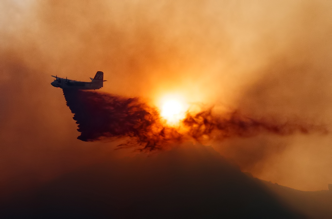
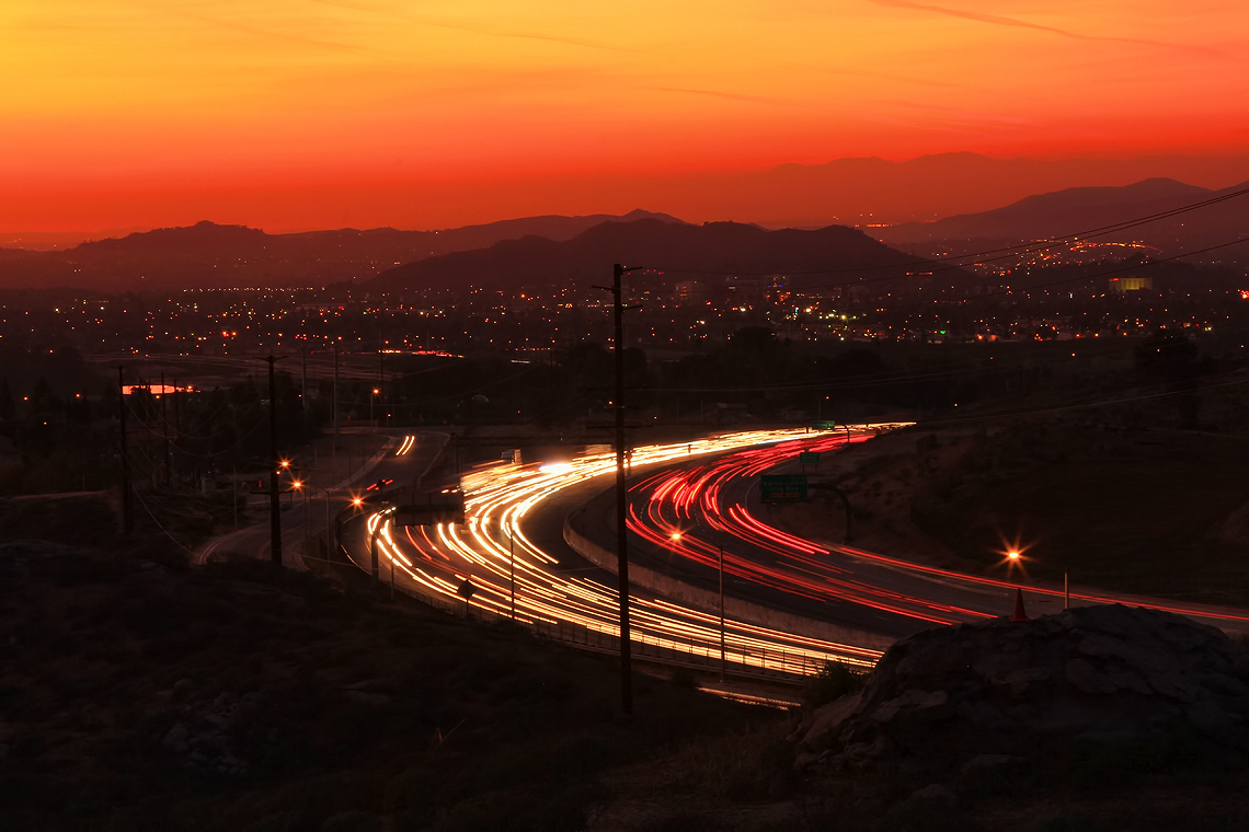
Coming in Hard

UP 7492
Last Drop
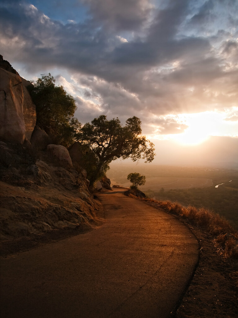
The Road

UP 7939

Spring Valley
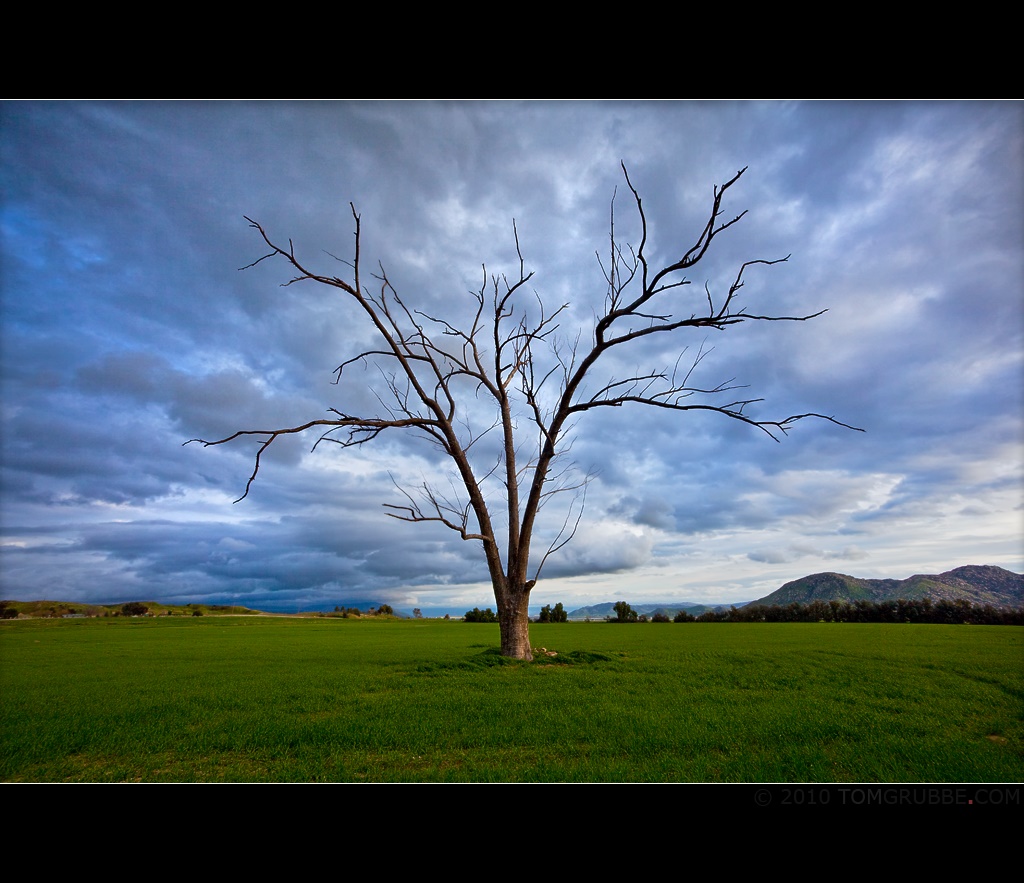
Tree and Field

Storm over GATX in Colton
Palm Springs - 2017
Riverside with Cirrus

Sunset Valley II
Let's Go Home
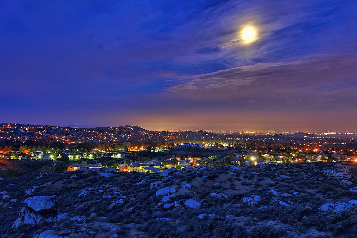
A Full Moon over Riverside
The Road (vertical)
Topographic Map of Butterfield St, Loma Linda, CA, USA
Find elevation by address:

Places near Butterfield St, Loma Linda, CA, USA:
26284 Cresthaven Ct
Hulda Crooks Park
Santa Andrea St, Loma Linda, CA, USA
10921 Ragsdale Rd
11201 Benton St
25494 Van Leuven St
11585 Poplar St
10650 Mountain View Ave
1905 Orange Ave
25715 Redlands Blvd
2038 W Park Ave
Loma Linda
11370 Anderson St B100
Stewart St, Loma Linda, CA, USA
1847 S Lilac Ct
Nevada St, Redlands, CA, USA
Pilgrim Road
1647 W Redlands Blvd
West Redlands
E Gould St, San Bernardino, CA, USA
Recent Searches:
- Elevation of Yellow Springs Road, Yellow Springs Rd, Chester Springs, PA, USA
- Elevation of Rēzekne Municipality, Latvia
- Elevation of Plikpūrmaļi, Vērēmi Parish, Rēzekne Municipality, LV-, Latvia
- Elevation of 2 Henschke Ct, Caboolture QLD, Australia
- Elevation of Redondo Ave, Long Beach, CA, USA
- Elevation of Sadovaya Ulitsa, 20, Rezh, Sverdlovskaya oblast', Russia
- Elevation of Ulitsa Kalinina, 79, Rezh, Sverdlovskaya oblast', Russia
- Elevation of 72-31 Metropolitan Ave, Middle Village, NY, USA
- Elevation of 76 Metropolitan Ave, Brooklyn, NY, USA
- Elevation of Alisal Rd, Solvang, CA, USA