Elevation of Butcher Knife Hill Rd, Pleasantville, PA, USA
Location: United States > Pennsylvania > Venango County > Allegheny Township > Pleasantville >
Longitude: -79.459114
Latitude: 41.6167437
Elevation: 403m / 1322feet
Barometric Pressure: 97KPa
Elevation Map:
Satellite Map:
Related Photos:

Scenic View

Allegheny River near Tidioute - PA - Oct 2007

11-18-2012_02_Tionesta_Lake

11-18-2012_15_Tionesta_Lake

Tionesta Dam Landscaping (1N-RS, D700)
Oil Creek

Fording Oil Creek

Trail Sign

Ghost Town - Pithole, PA
11-18-2012_08_Tionesta_Lake

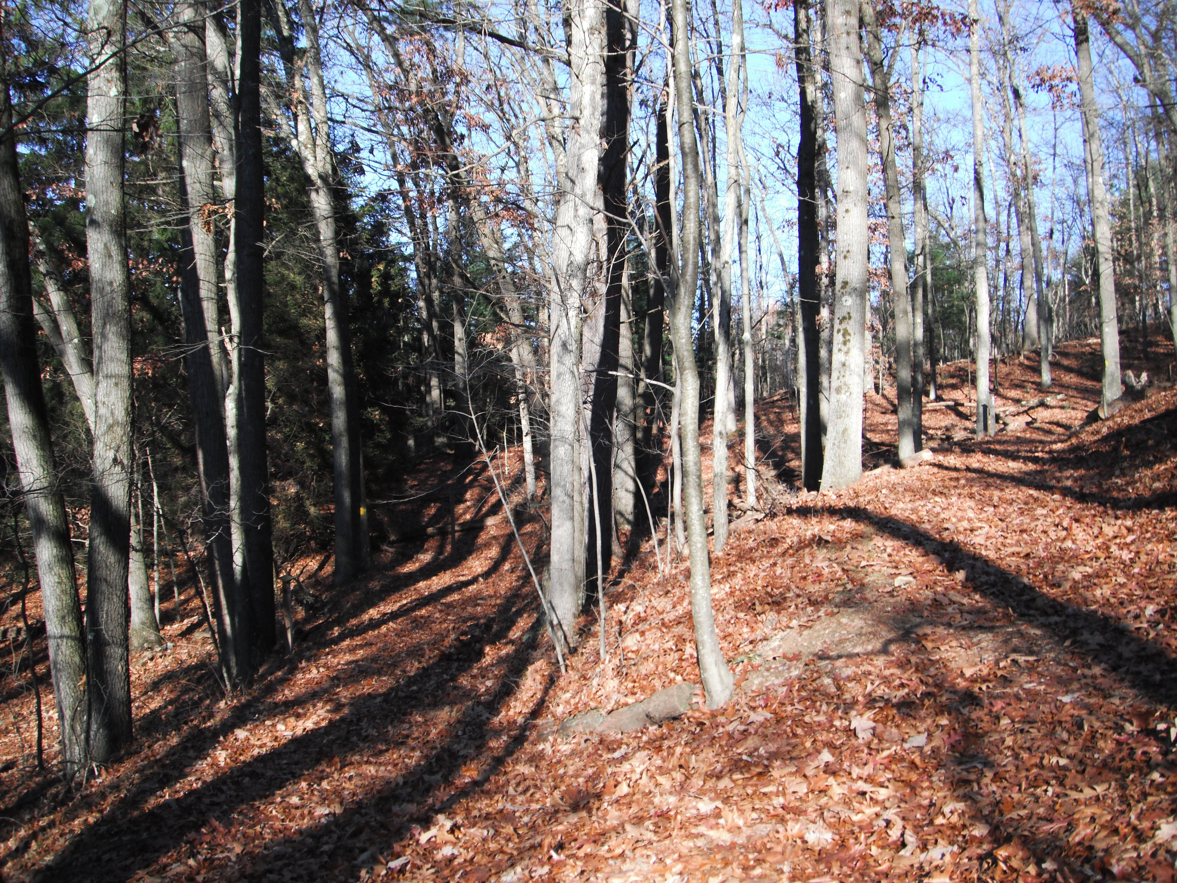
Hickory Creek Wilderness

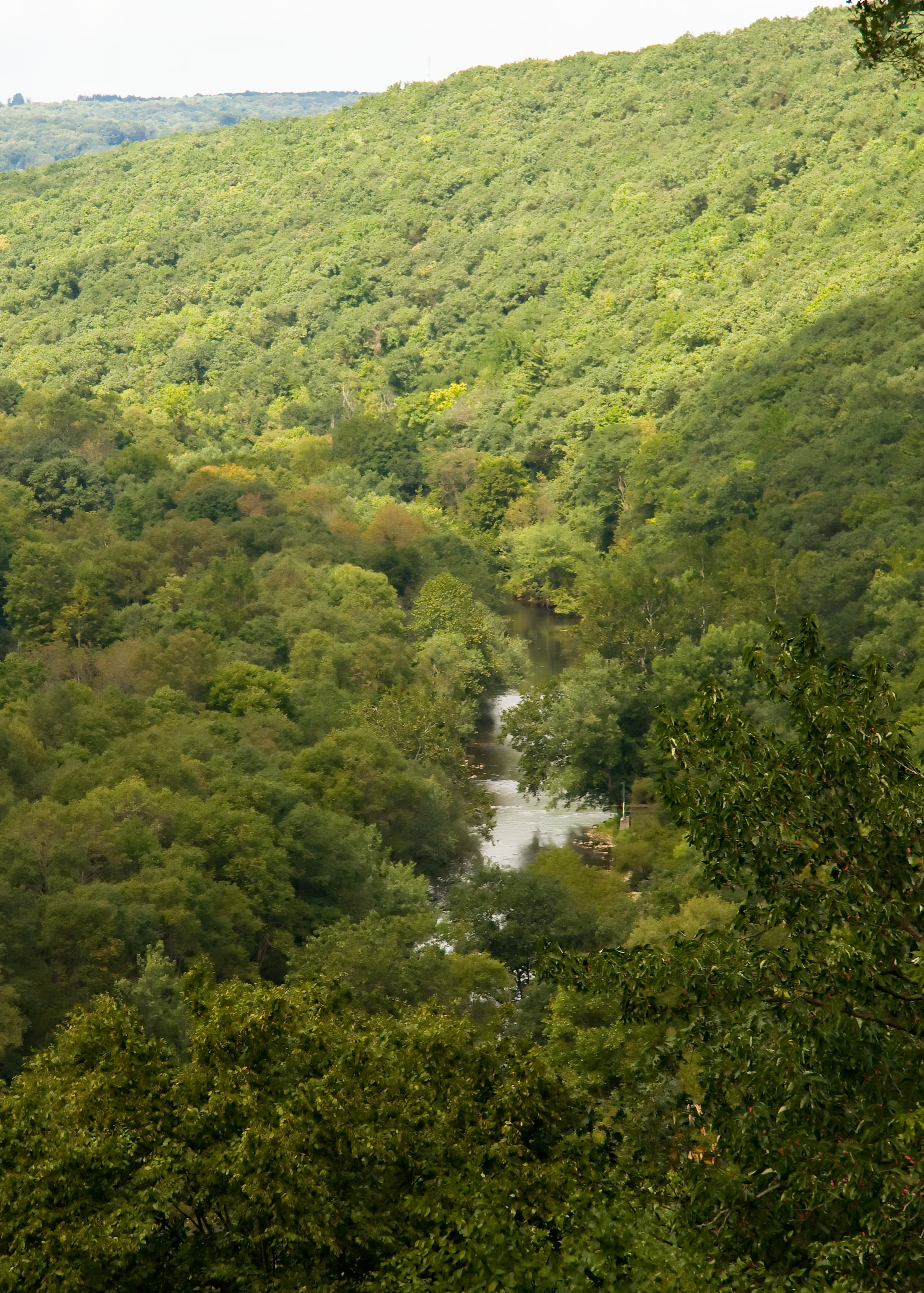
A River Runs Through

Allegheny National Forest

Oil Creek from Above

Tionesta Lake

Tionesta Lake

Tionesta Lake

Tionesta Dam

From the 7th Tee at Hunter's Station

Tionesta Light House

Tionesta Lake

Oil Creek
Topographic Map of Butcher Knife Hill Rd, Pleasantville, PA, USA
Find elevation by address:

Places near Butcher Knife Hill Rd, Pleasantville, PA, USA:
Harmony Township
Neiltown Rd, Pleasantville, PA, USA
20933 Neiltown Rd
20998 Neiltown Rd
Allegheny Township
Pleasantville, PA, USA
Southwest Township
240 Maple St
Tionesta
Pleasantville
341 N Main St
Emick Road
23199 Titusville Rd
Oilcreek Township
820 Rockwood Dr
Cornplanter Township
14567 State Rte 2033
Drake St, Titusville, PA, USA
Dutch Hill Road
Titusville
Recent Searches:
- Elevation of 7 Waterfall Way, Tomball, TX, USA
- Elevation of SW 57th Ave, Portland, OR, USA
- Elevation of Crocker Dr, Vacaville, CA, USA
- Elevation of Pu Ngaol Community Meeting Hall, HWHM+3X7, Krong Saen Monourom, Cambodia
- Elevation of Royal Ontario Museum, Queens Park, Toronto, ON M5S 2C6, Canada
- Elevation of Groblershoop, South Africa
- Elevation of Power Generation Enterprises | Industrial Diesel Generators, Oak Ave, Canyon Country, CA, USA
- Elevation of Chesaw Rd, Oroville, WA, USA
- Elevation of N, Mt Pleasant, UT, USA
- Elevation of 6 Rue Jules Ferry, Beausoleil, France