Elevation of Burrville, TN, USA
Location: United States > Tennessee > Morgan County >
Longitude: -84.751612
Latitude: 36.2939634
Elevation: 479m / 1572feet
Barometric Pressure: 96KPa
Elevation Map:
Satellite Map:
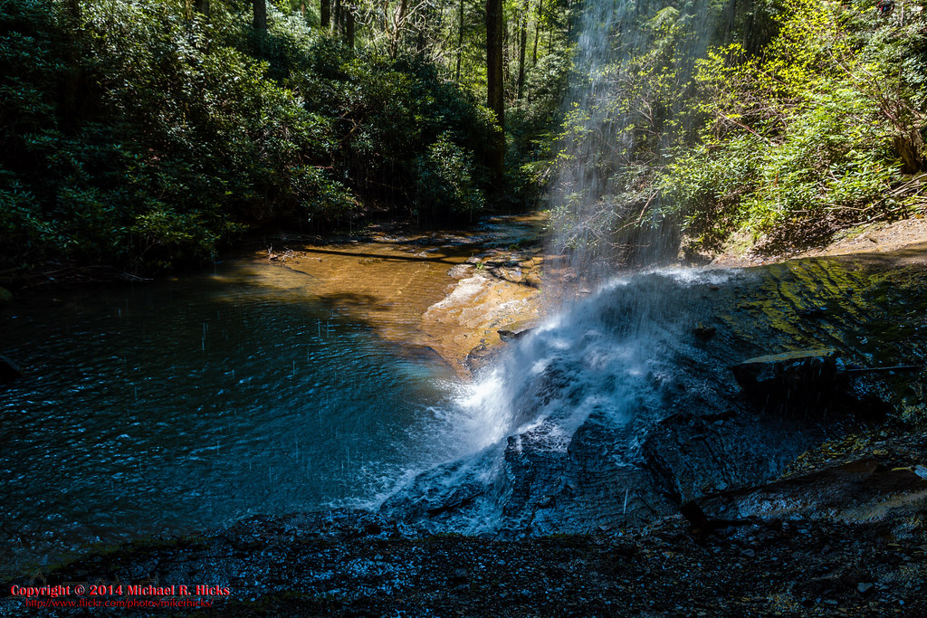
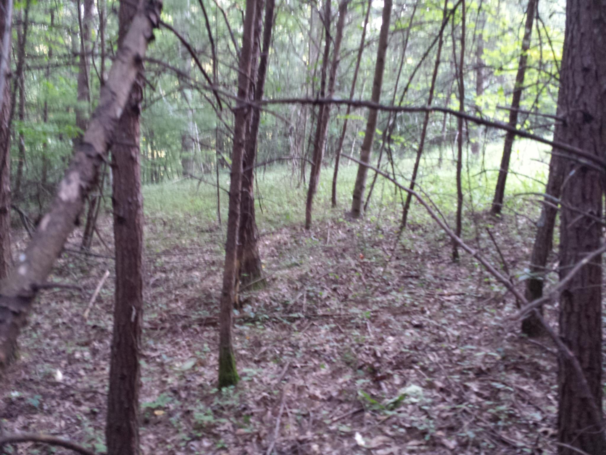
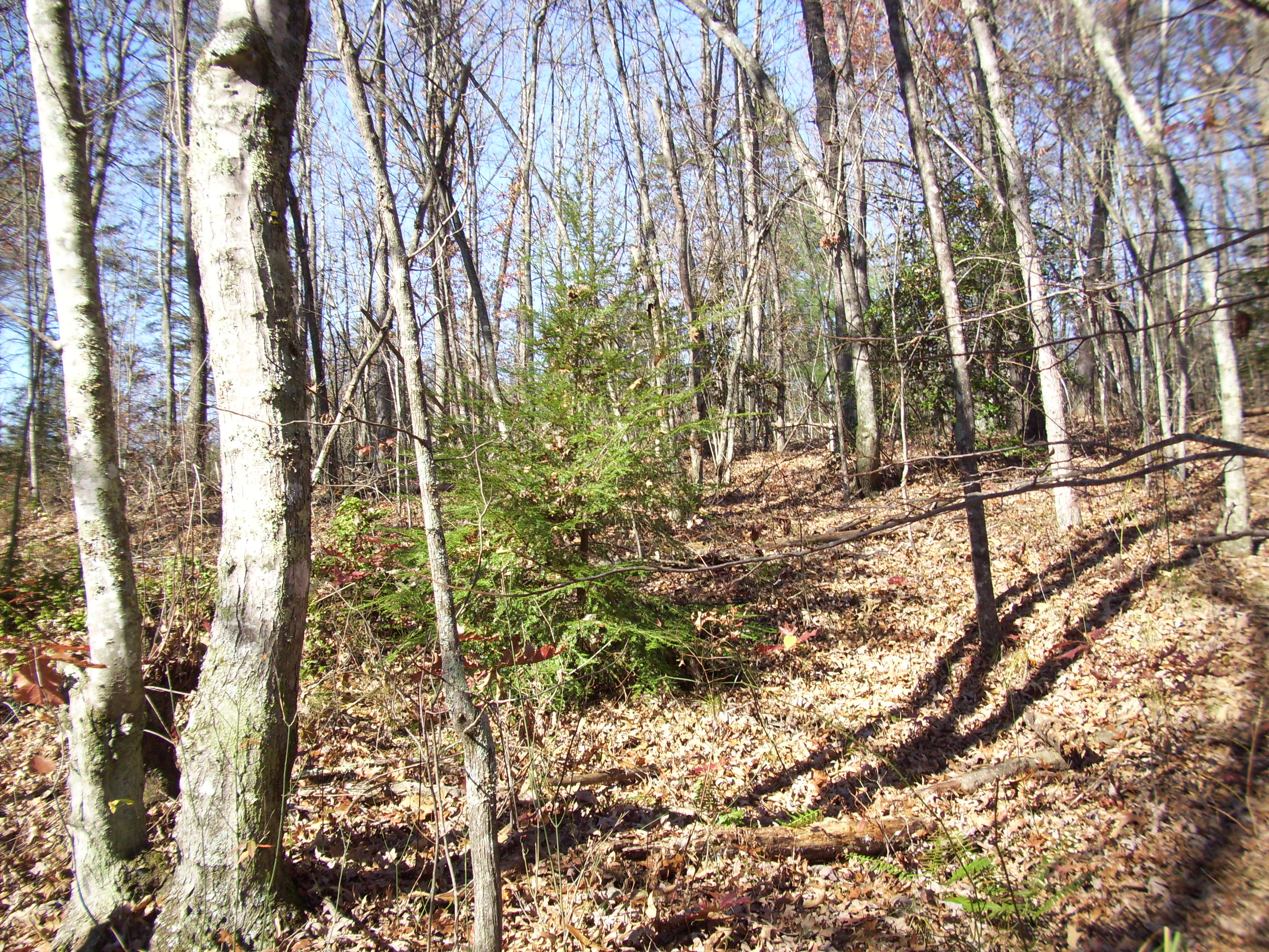
Related Photos:
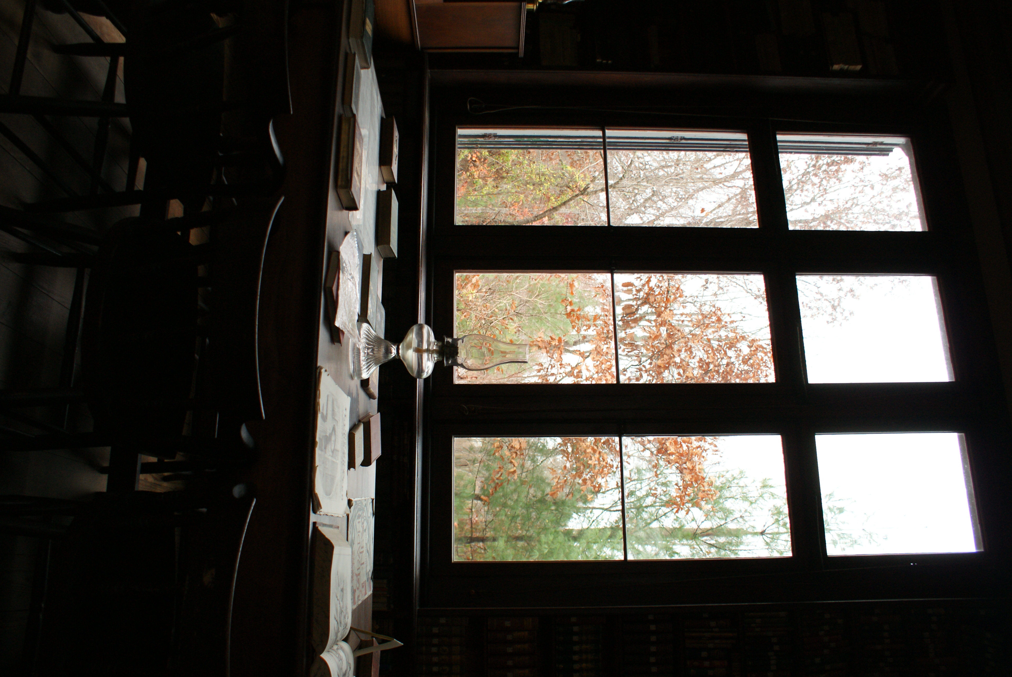
Library in Rugby Tennessee
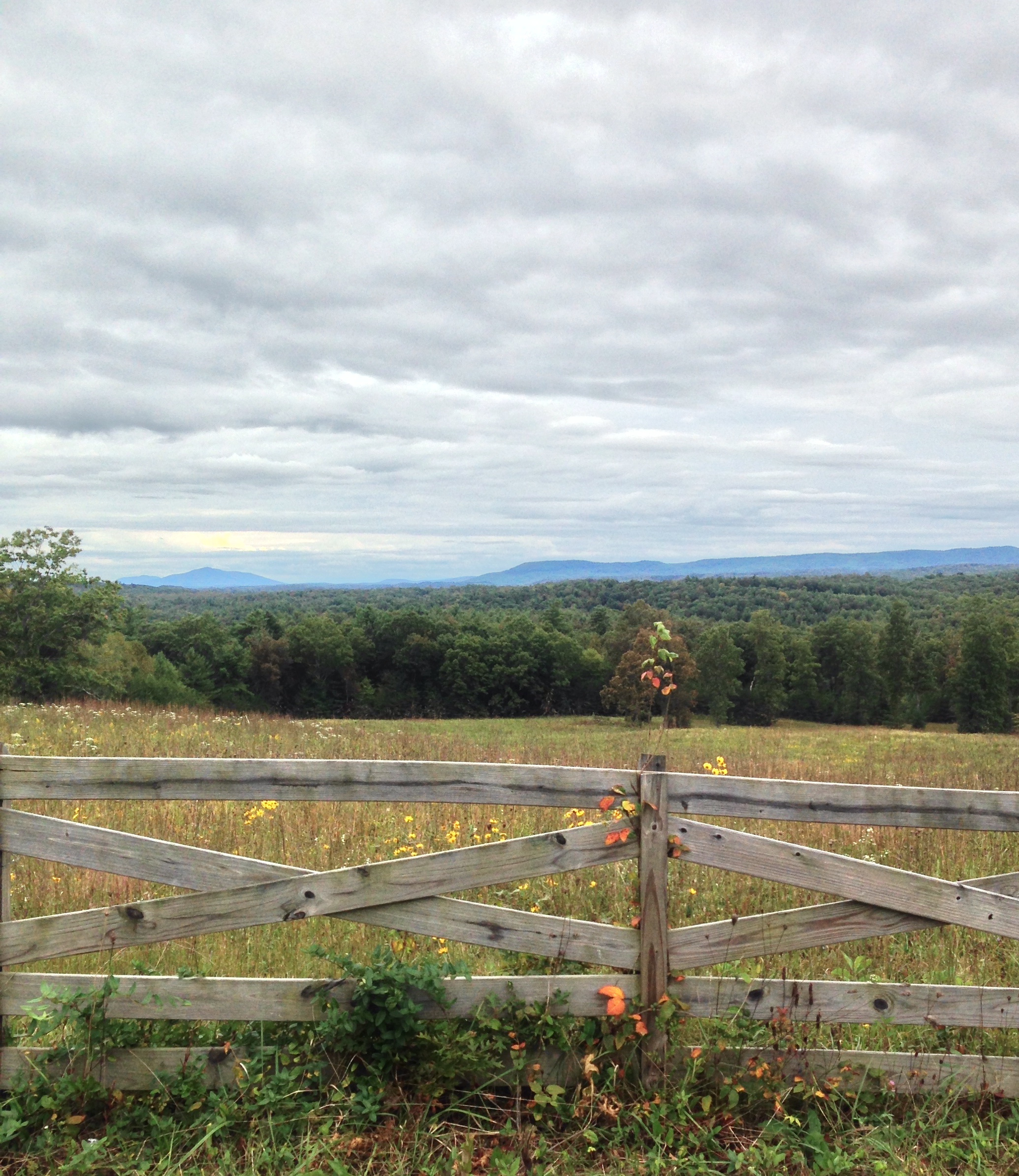
Cloudy day view near Deer Lodge TN
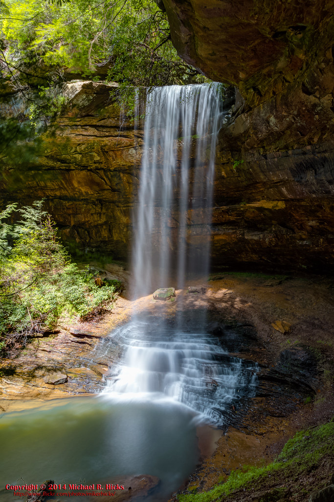
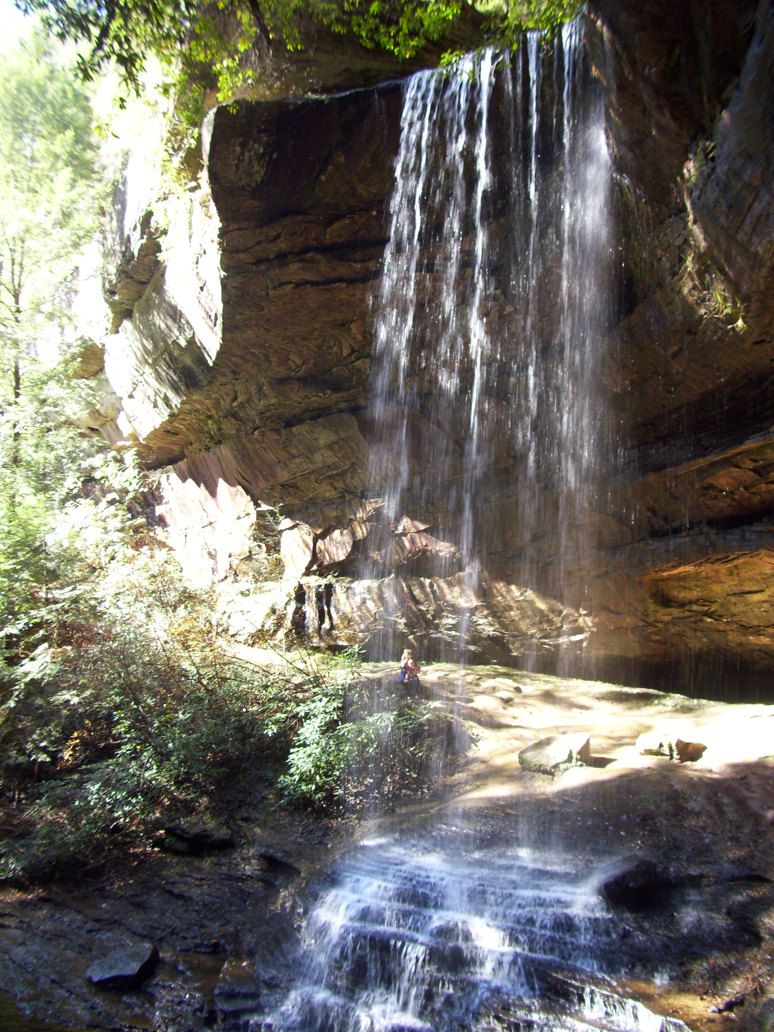
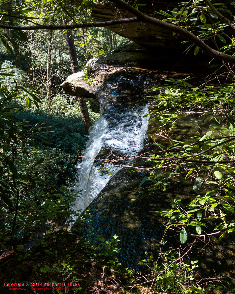
Northrup Falls - Colditz Cove SNA - May 3, 2014
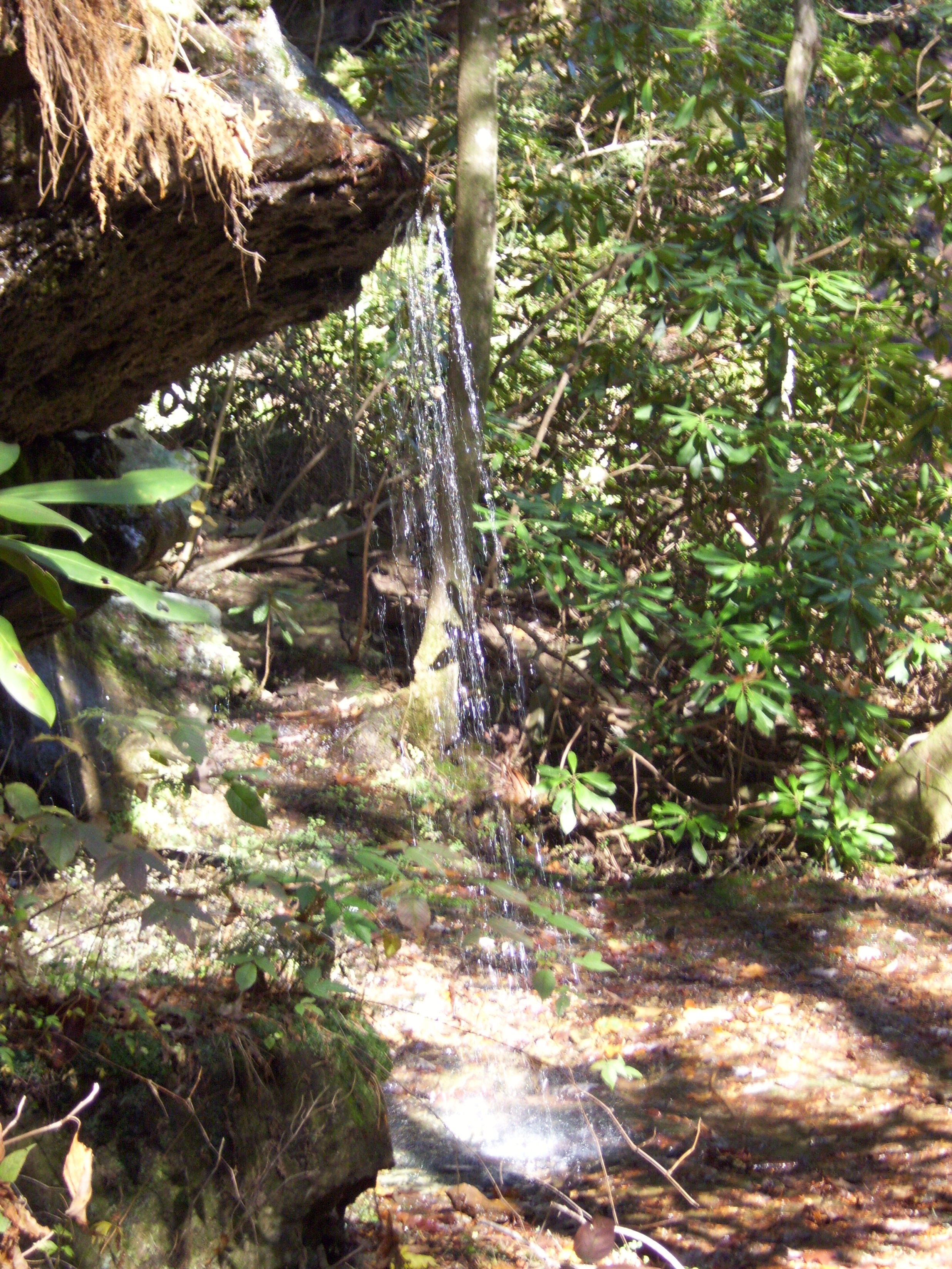
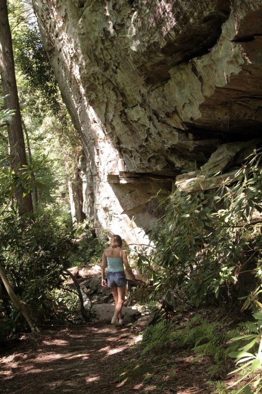
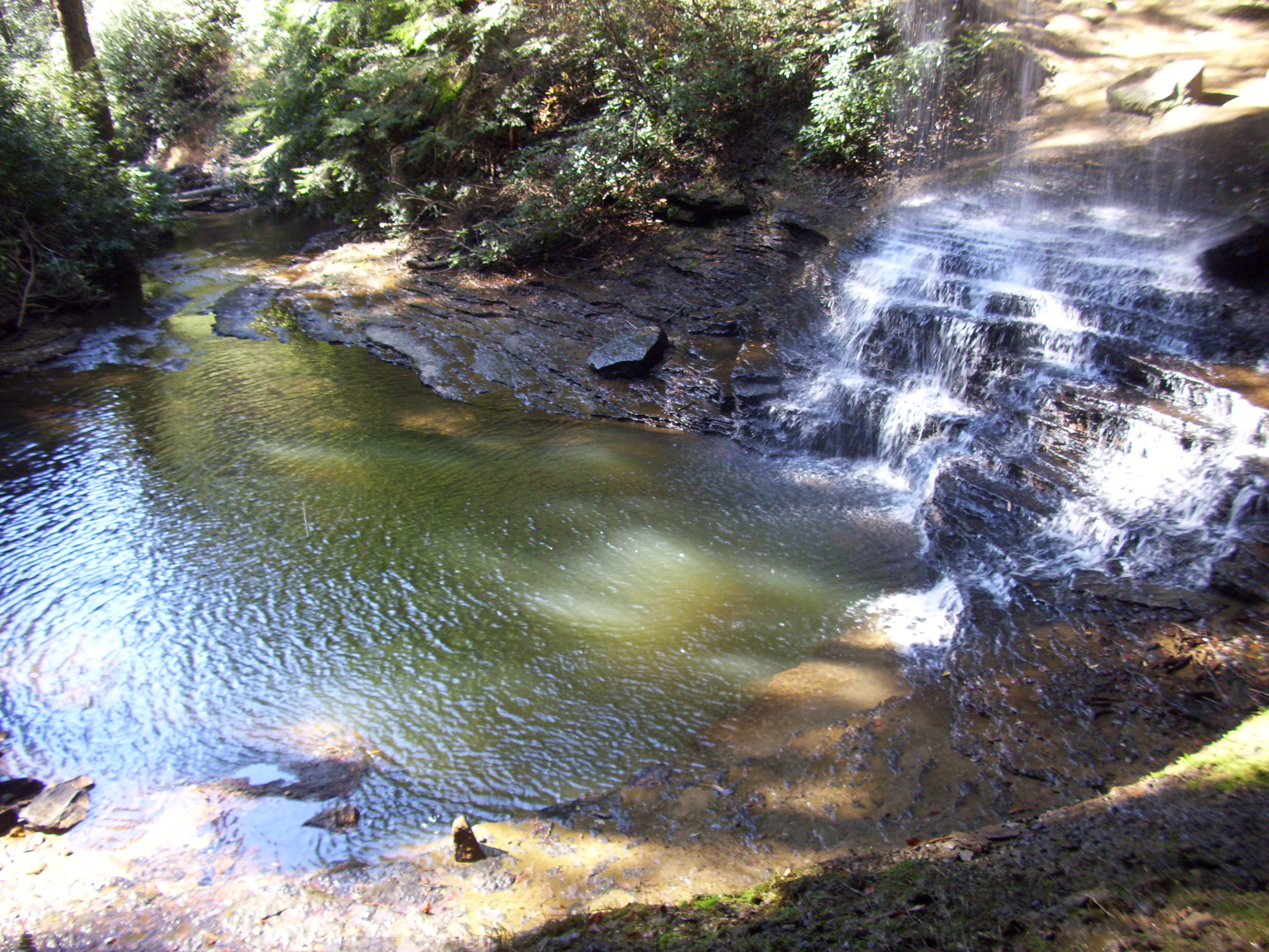
Northrup Falls, Tennessee
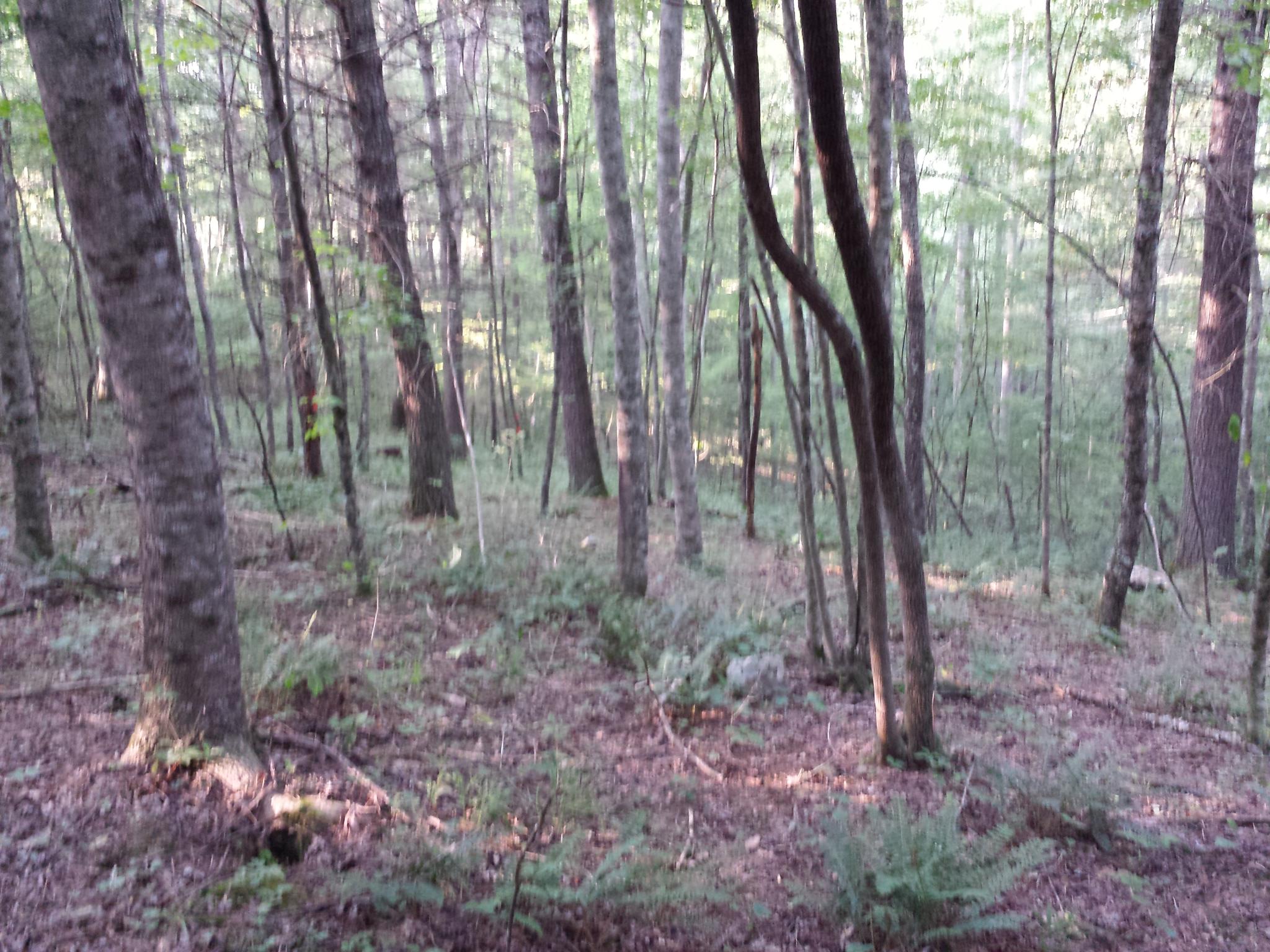
bur-053
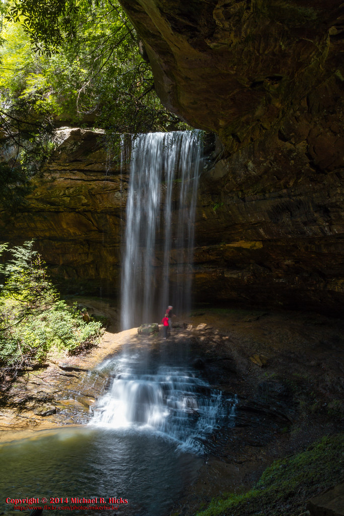
Northrup Falls - Colditz Cove SNA - May 3, 2014
Northrup Falls - Colditz Cove SNA - May 3, 2014
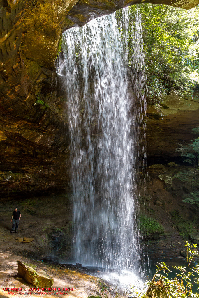
Northrup Falls - Colditz Cove SNA - May 3, 2014
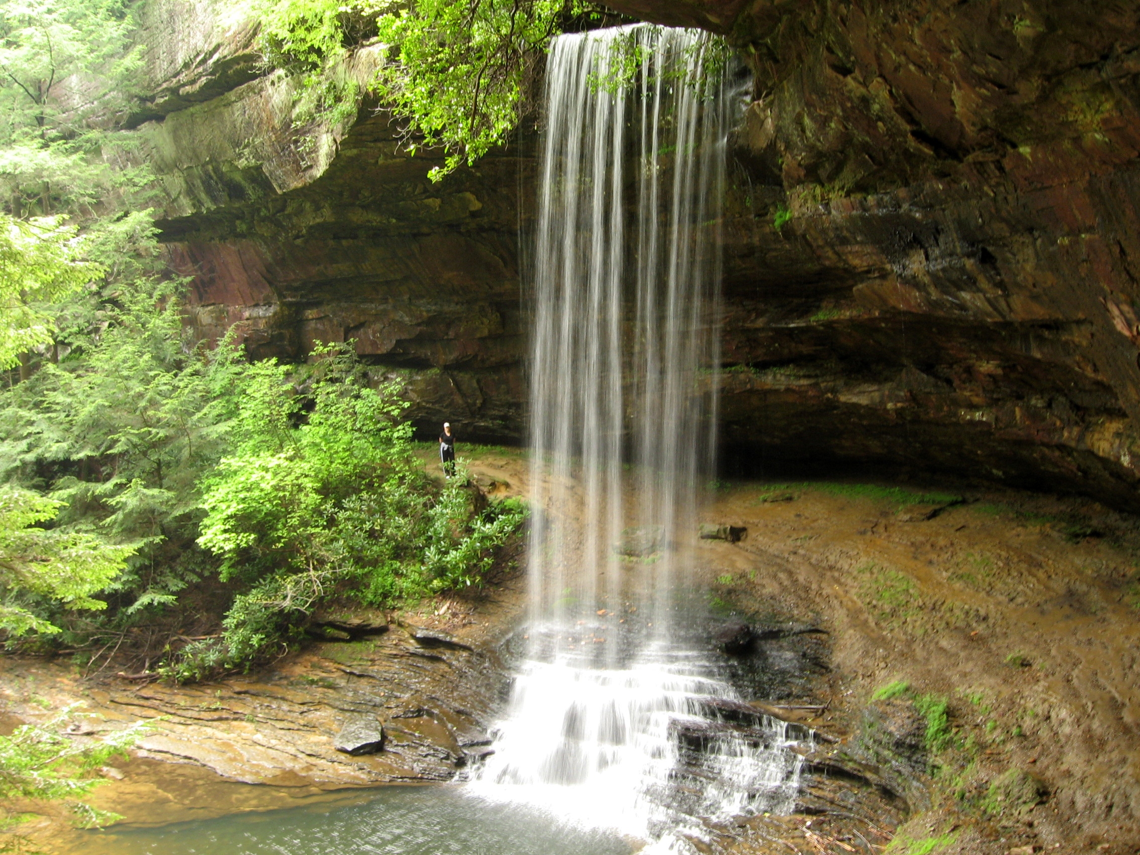
Colditz Cove State Natural Area 110809 072
Colditz Cove State Natural Area 110809 095
Colditz Cove- May 3, 2014
bur-039
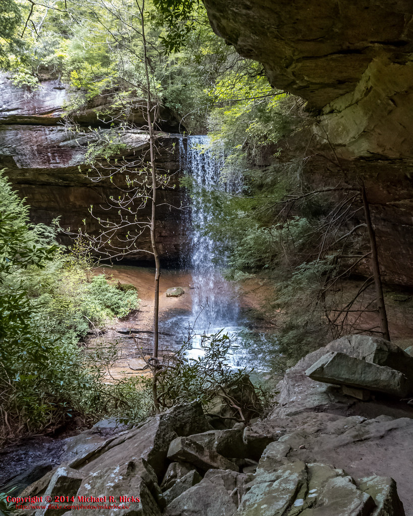
Northrop Falls 072
Colditz Cove- May 3, 2014
Colditz Cove State Natural Area 110809 086
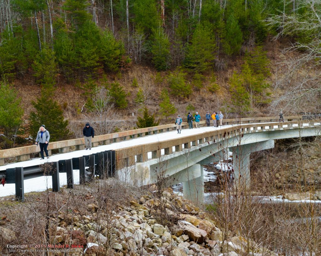
The unplanned warm up hike to Burnt Mill Bridge
bur-067
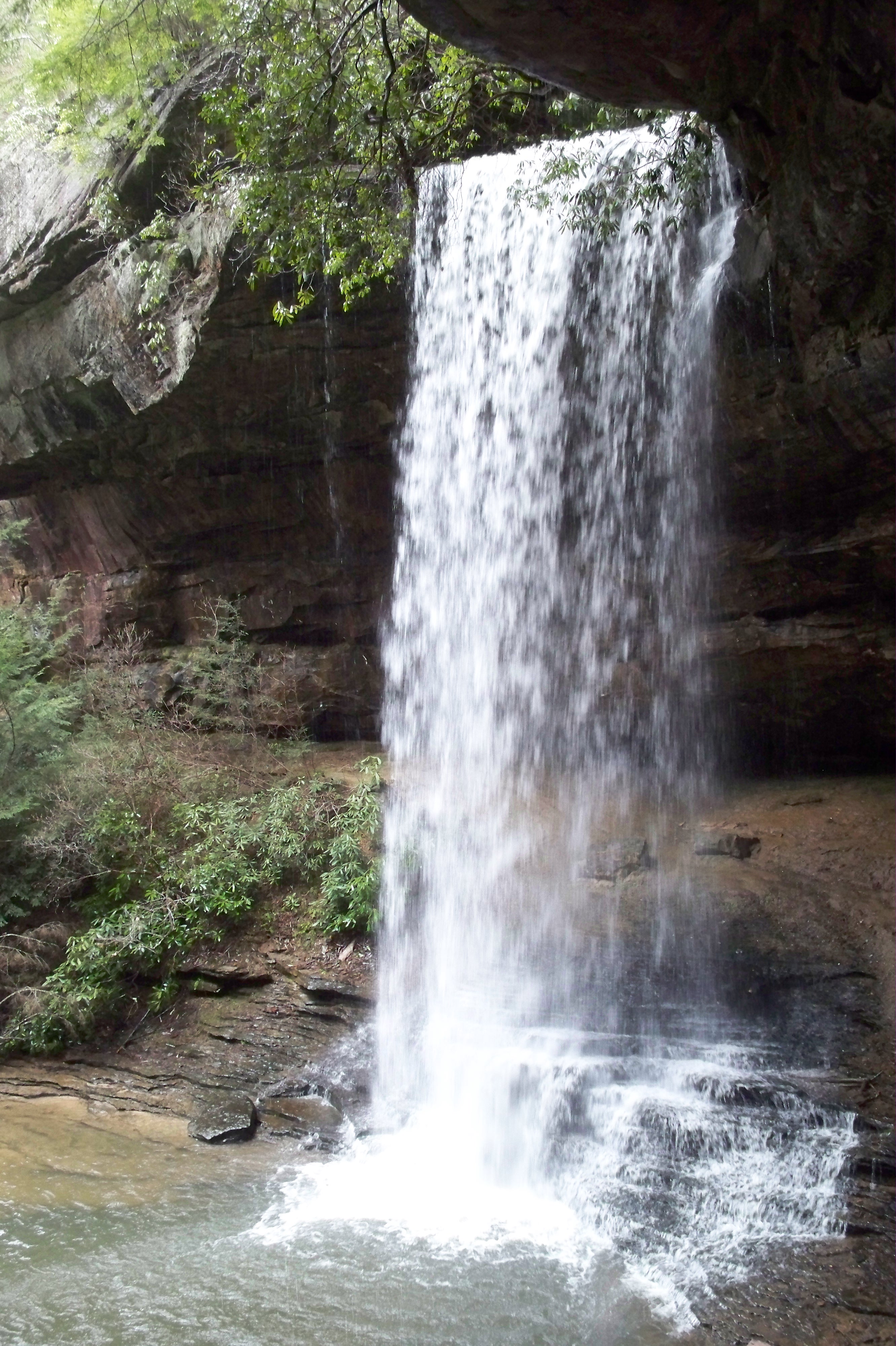
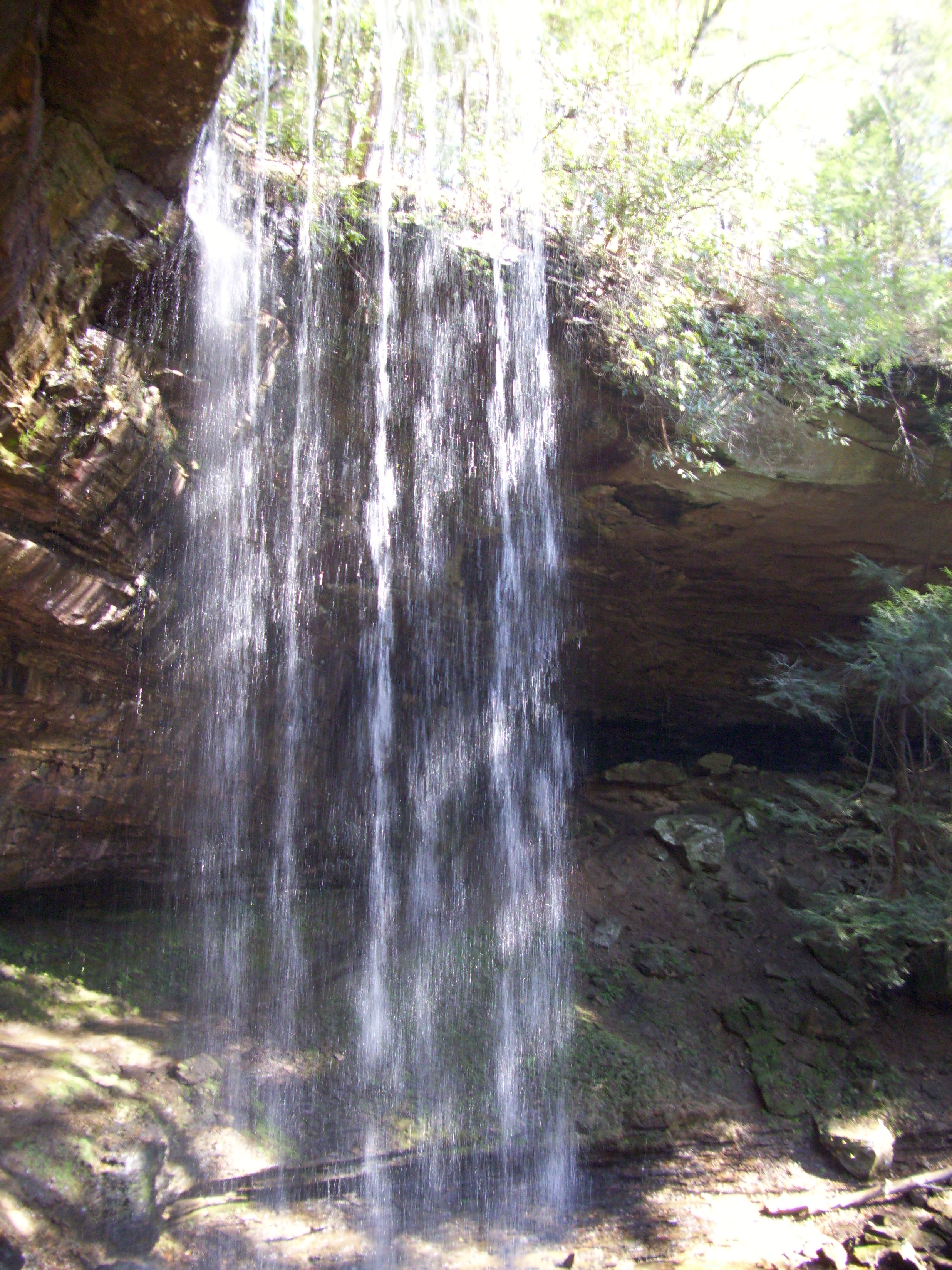
Northrup Falls
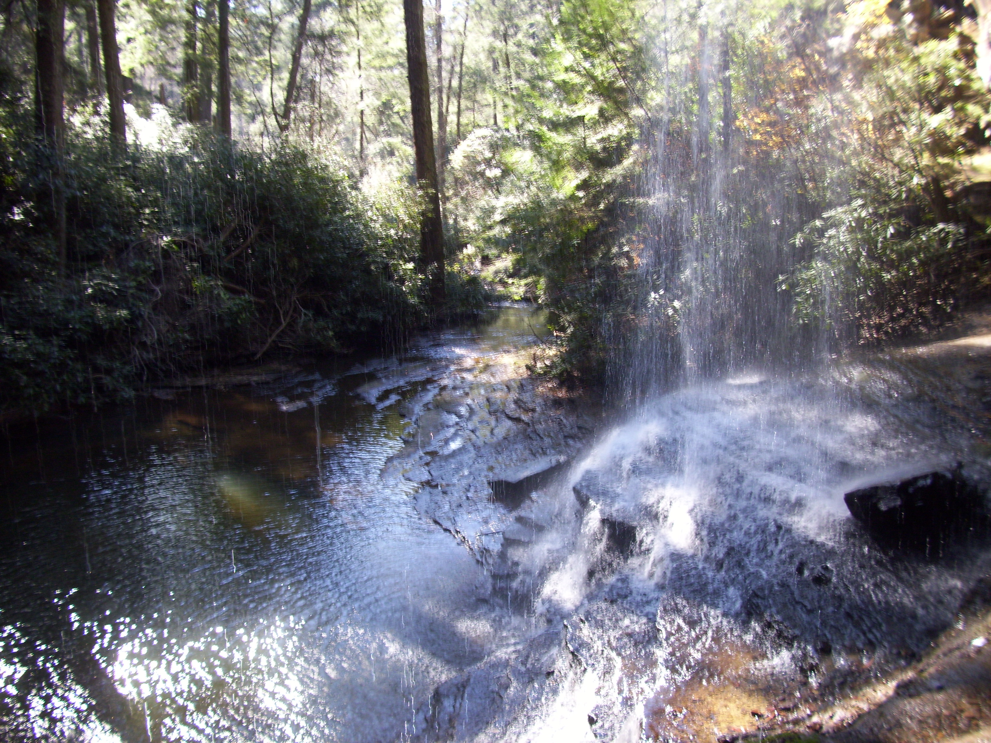
Colditz Cove State Natural Area 110809 094
Colditz Cove State Natural Area 110809 007
Colditz Cove State Natural Area 110809 096
Topographic Map of Burrville, TN, USA
Find elevation by address:

Places near Burrville, TN, USA:
479 Hannah Davidson Rd
394 Kendall Rd
769 Christenson Rd
141 Collins Tpke
175 Collins Turnpike
Peters Ford Road
Rugby Pike, Allardt, TN, USA
Meister Hills Rd, Deer Lodge, TN, USA
186 Perkins Trail
322 Perkins Trail
Peters Ford Court
Robert Beaty Road
69 Robert Beaty Rd
1465 Les Franklin Rd N
309 Kelly Ln
Allardt
108 Standing Rock Rd
4939 Standing Rock Rd
150 Pine Bluff Ln
4349 Standing Rock Rd
Recent Searches:
- Elevation of 2 Henschke Ct, Caboolture QLD, Australia
- Elevation of Redondo Ave, Long Beach, CA, USA
- Elevation of Sadovaya Ulitsa, 20, Rezh, Sverdlovskaya oblast', Russia
- Elevation of Ulitsa Kalinina, 79, Rezh, Sverdlovskaya oblast', Russia
- Elevation of 72-31 Metropolitan Ave, Middle Village, NY, USA
- Elevation of 76 Metropolitan Ave, Brooklyn, NY, USA
- Elevation of Alisal Rd, Solvang, CA, USA
- Elevation of Vista Blvd, Sparks, NV, USA
- Elevation of 15th Ave SE, St. Petersburg, FL, USA
- Elevation of Beall Road, Beall Rd, Florida, USA