Elevation of Burrton, KS, USA
Location: United States > Kansas > Harvey County >
Longitude: -97.633113
Latitude: 38.0477178
Elevation: 442m / 1450feet
Barometric Pressure: 96KPa
Elevation Map:
Satellite Map:
Related Photos:
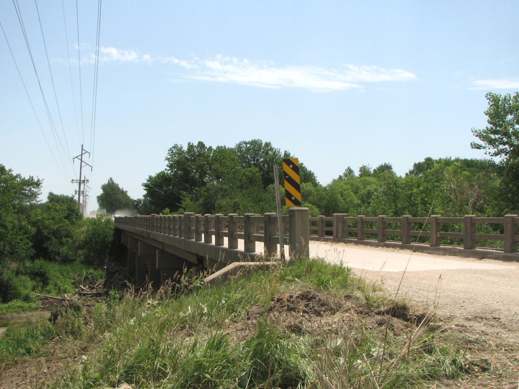
Side View: Little Arkansas River Bridge
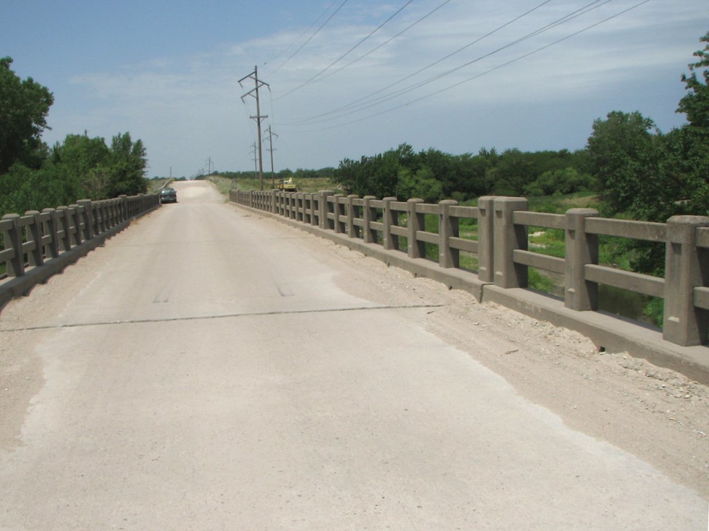
Deck View: Little Arkansas River
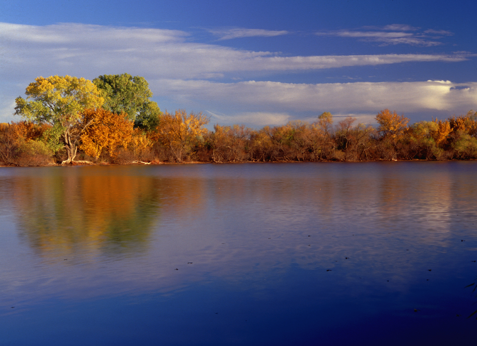
Fall Color 3

Evening Sky

Kansas Sunset

Kansas sunset

backlit grasses
Masters of the Plains
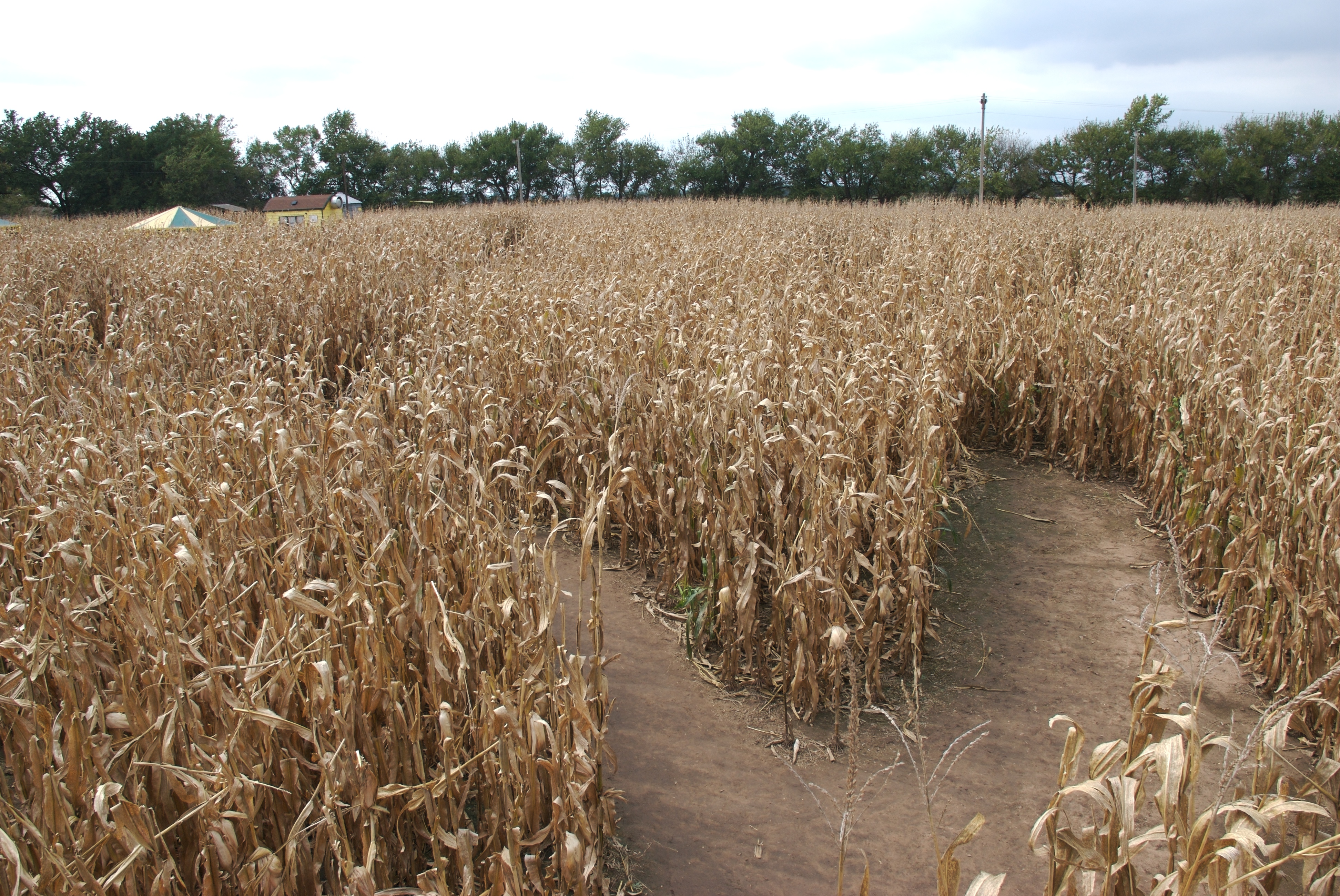
Corn maze from bridge
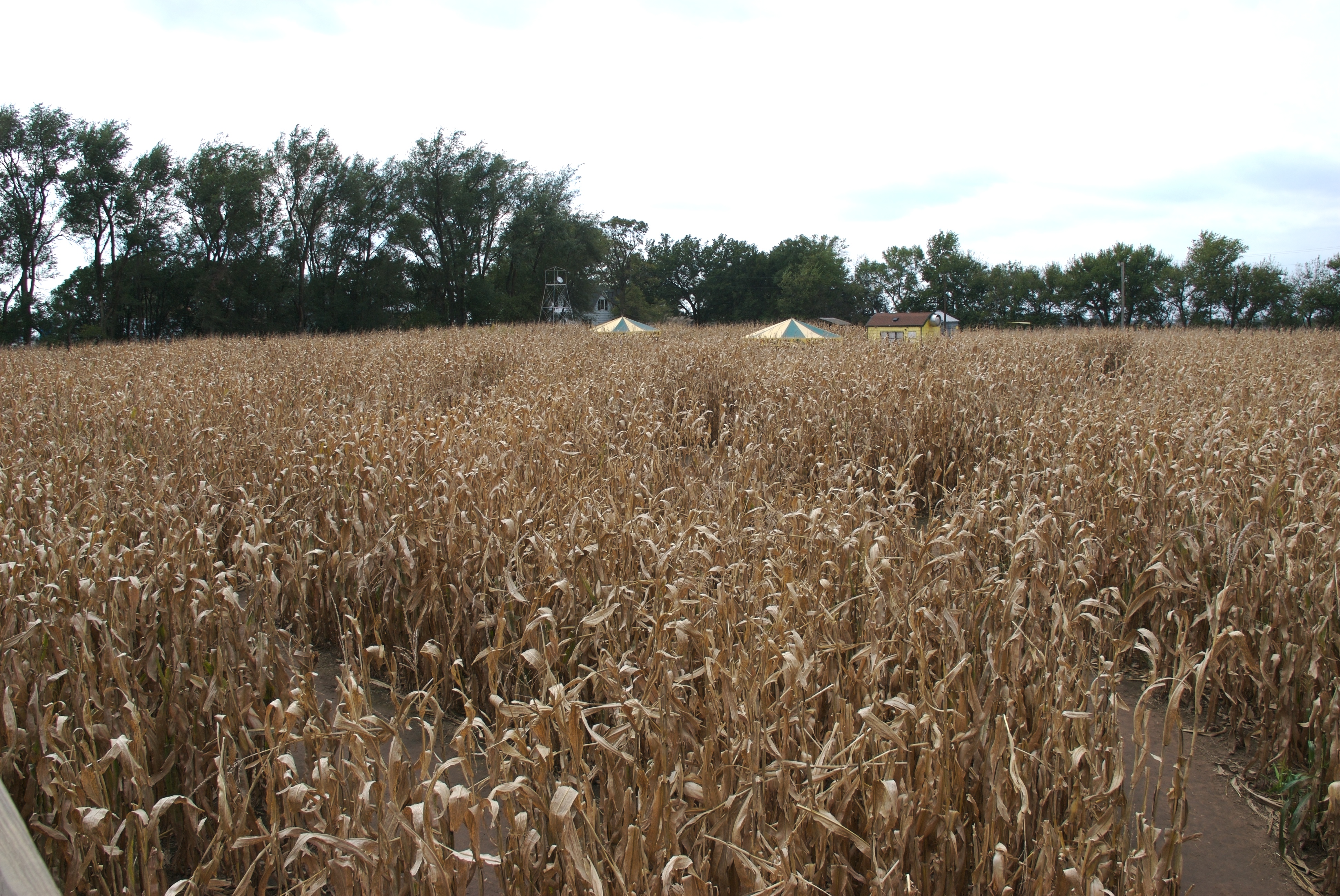
A look at the start

a "lake" at the campground
Google Burrton, Kansas.

Sunset reflection at the lake at Harvey County West Park. This is one of the first images I captured when I got my first DSLR back in 2008. #reflection #lake #sky #colors #blue #harveycountywestpark

Trappers Rendezvous at Harvey County Park West
Topographic Map of Burrton, KS, USA
Find elevation by address:

Places in Burrton, KS, USA:
Places near Burrton, KS, USA:
N Sedgwick Ave, Burrton, KS, USA
Burrton
4026 N River Park Rd
Alta
Halstead
420 College St
Apache Road
Halstead
1303 Redbud Ct
907 Main St
415 Walnut St
Little River
Buhler
Moundridge
Cole St, Moundridge, KS, USA
Mound
US-50, Newton, KS, USA
Macon
Hesston
Sandhills State Park
Recent Searches:
- Elevation of 6 Rue Jules Ferry, Beausoleil, France
- Elevation of Sattva Horizon, 4JC6+G9P, Vinayak Nagar, Kattigenahalli, Bengaluru, Karnataka, India
- Elevation of Great Brook Sports, Gold Star Hwy, Groton, CT, USA
- Elevation of 10 Mountain Laurels Dr, Nashua, NH, USA
- Elevation of 16 Gilboa Ln, Nashua, NH, USA
- Elevation of Laurel Rd, Townsend, TN, USA
- Elevation of 3 Nestling Wood Dr, Long Valley, NJ, USA
- Elevation of Ilungu, Tanzania
- Elevation of Yellow Springs Road, Yellow Springs Rd, Chester Springs, PA, USA
- Elevation of Rēzekne Municipality, Latvia