Elevation of Burrington Hill Rd, Whitingham, VT, USA
Location: United States > Vermont > Windham County > Whitingham >
Longitude: -72.861272
Latitude: 42.7680456
Elevation: 601m / 1972feet
Barometric Pressure: 94KPa
Elevation Map:
Satellite Map:
Related Photos:

Berkshire Blues
View from Hogback Mountain, Marlboro, Vermont

More Than a View

15 Hogback Mountain 100 Mile View - dining room Skyline Restaurant

Hogback Mountain - 100 Mile View
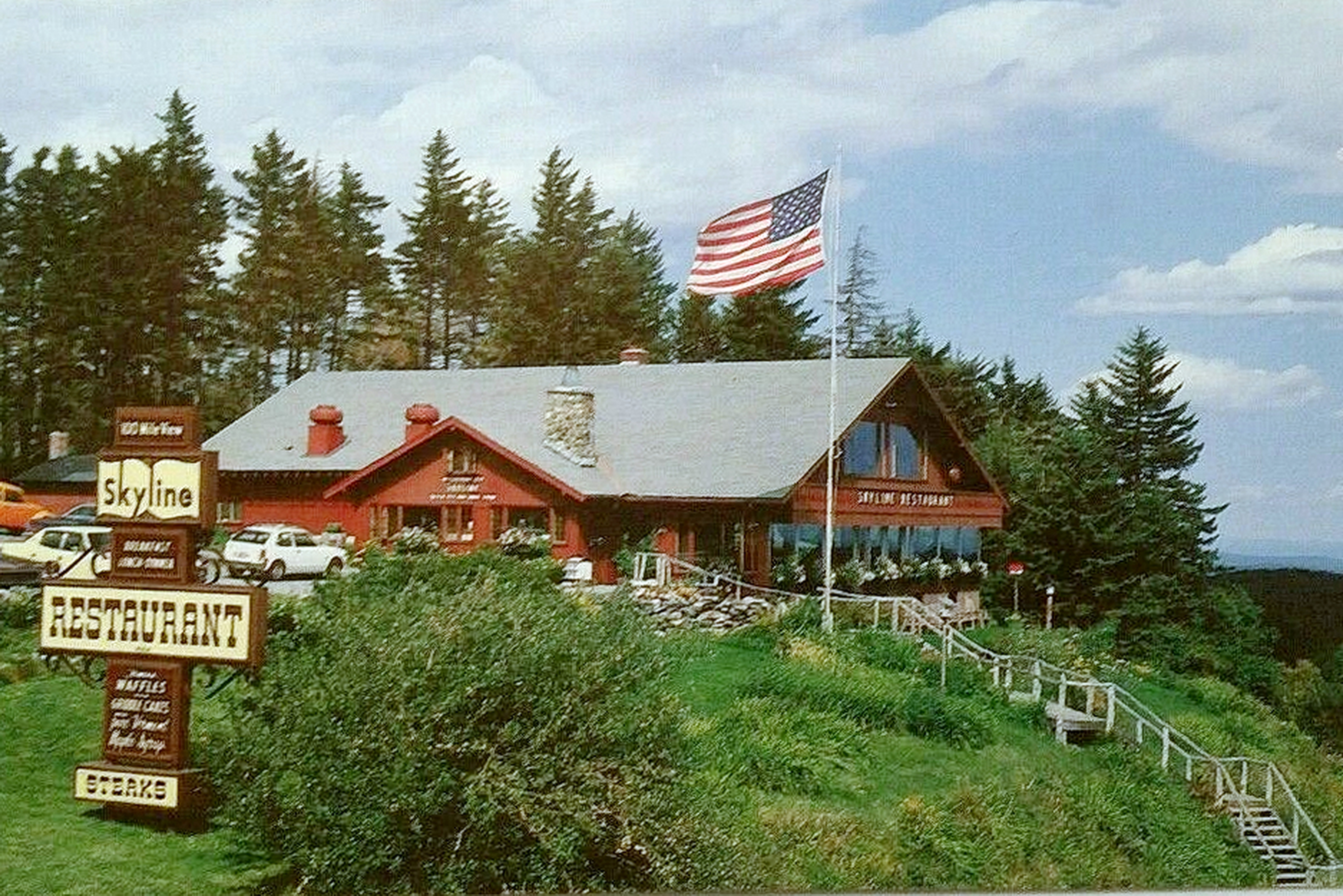
14 Hogback Mountain 100 Mile View - Skyline Restaurant

snowy start

Hogback Mountain overlook, Vermont

Berkshire Highlands Pentathlon 2012

Berkshire Highlands Pentathlon 1

Berkshire Highlands Pentathlon 3

01 Hogback Mountain 100 Mile View

Morning View

MAP - Hogback Mountain Conservation Area

Water Lillies

Twin Cascade #4

Twin Cascade 1

A Place to Sit
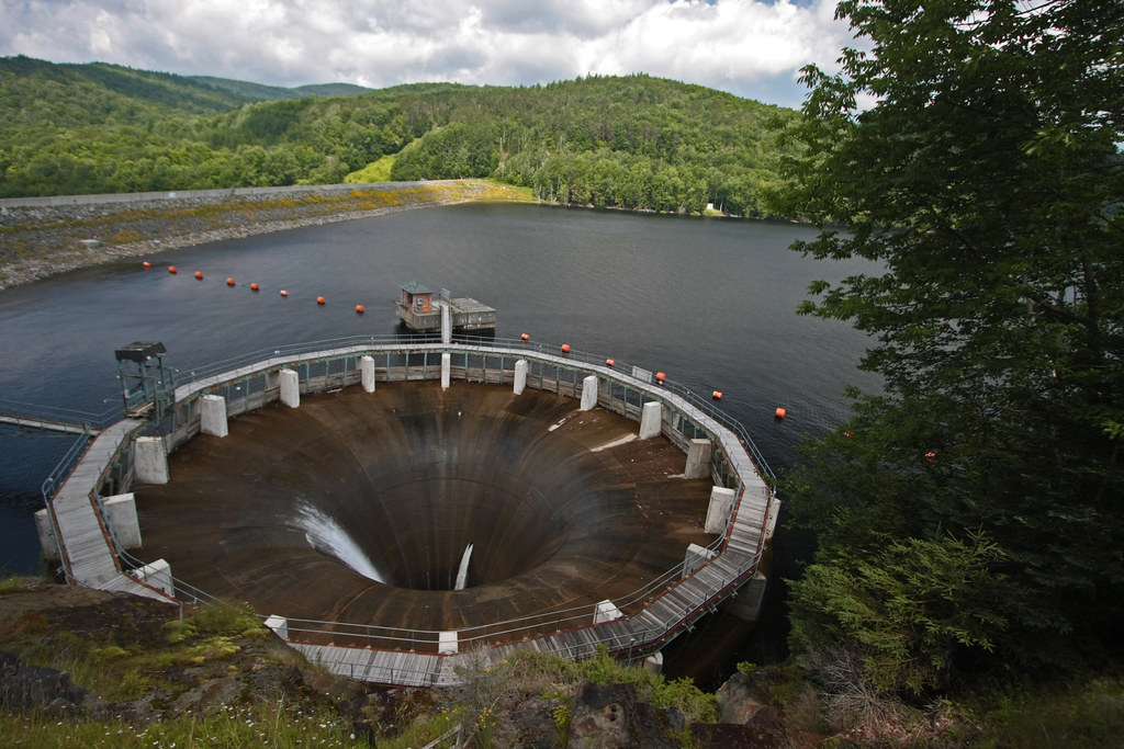
The Glory Hole ~ Harriman Reservoir

Hogback Mountain overlook, Vermont

Hogback Mountain - The Pull Over

Vermont Back Road

Western Mass Field & Wind Mills

Rocks at Halifax

Harriman Reservoir

In Search of a Cool Breeze
09 Hogback Mountain 100 Mile View - Overview three: Green Mountain Panarama

time lies

Whitcomb Summit View

13 Hogback Mountain 100 Mile View - Satalitte View of Area

04 Hogback Mountain 100 Mile View - Overview two

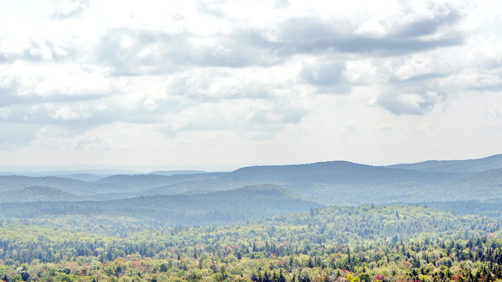
Green Mountains

Whitcomb Summit

Lake Raponda, VT

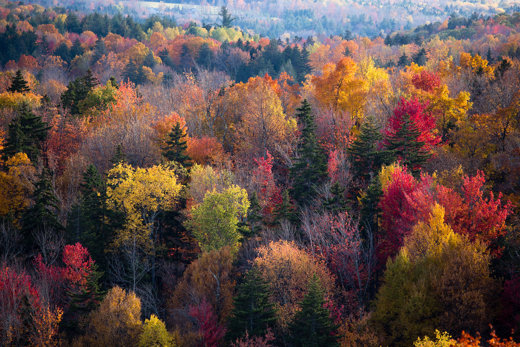
Vermont fall
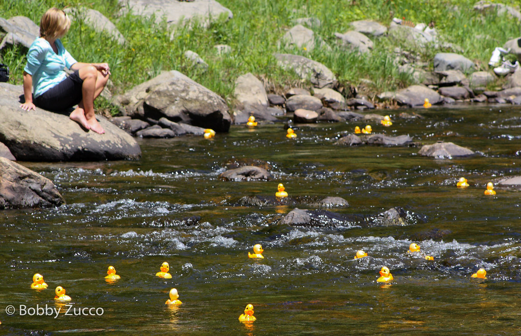
Duck race
North Branch Deerfield River

Constant II. 1/4 second @f/22 #waterfall #waterflow #vermontshots #70d #10to18mm review is now available. @jicebee you are right, better with rock cropped.
Topographic Map of Burrington Hill Rd, Whitingham, VT, USA
Find elevation by address:

Places near Burrington Hill Rd, Whitingham, VT, USA:
1100 Streeter Hill Rd
664 Sadawga Lake Rd
184 Corse Rd
1084 Cyrus Rd
1448 Cyrus Rd
195 Stimpson Hill Rd
9 School St
Whitingham
756 Wilmington Cross Rd
Nate Flynn Road
2039 Maple Hill Ln
2039 Maple Hill Ln
1000 E Rd
341 Chapel Hill Rd
East Road
290 Vt-112
Jacksonville
200 E Rd
577 Bernard Rd
2939 Vt-100
Recent Searches:
- Elevation of Crystal Cir, Birmingham, AL, USA
- Elevation of N Railroad Ave, West Palm Beach, FL, USA
- Elevation of 55 Cassick Valley Rd, Wellfleet, MA, USA
- Elevation of Ironwood Dr, Minden, NV, USA
- Elevation of 高尾山口駅, Takaomachi, Hachioji, Tokyo -, Japan
- Elevation of 15 Victory Ave, Greenville, SC, USA
- Elevation of Kota Ternate Utara, Ternate City, North Maluku, Indonesia
- Elevation of Allon St, Oceanside, NY, USA
- Elevation of Carroll Creek Rd, Custer, SD, USA
- Elevation of Lust Road, Lust Rd, Florida, USA