Elevation of Burraga NSW, Australia
Location: Australia > New South Wales > Oberon Council >
Longitude: 149.513710
Latitude: -33.897384
Elevation: 952m / 3123feet
Barometric Pressure: 90KPa
Elevation Map:
Satellite Map:
Related Photos:
Not for those with a fear of heights

View into the Canyon

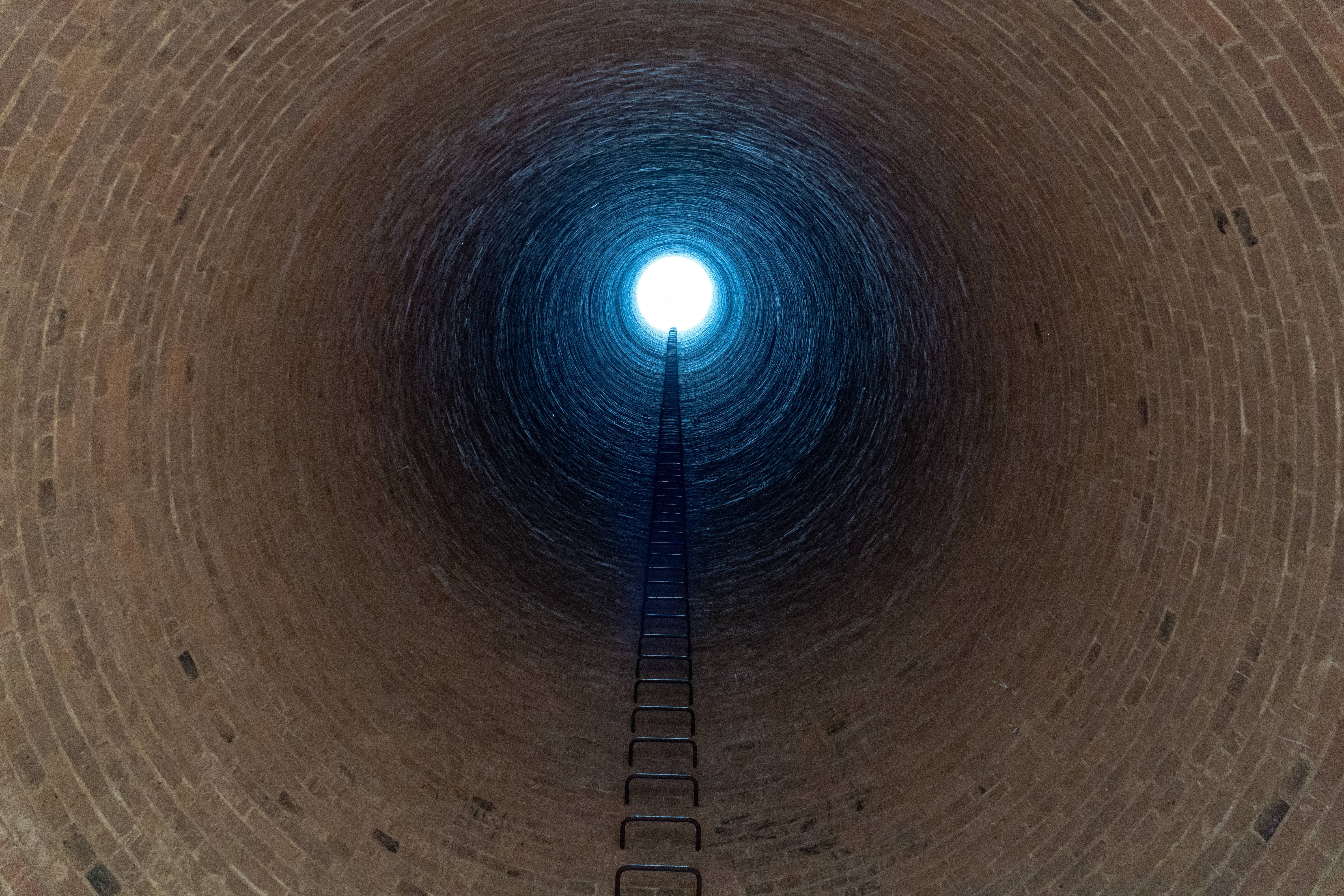
Burraga Mine Chimney

Abercrombie Caves

HDRi Abercrombie Creek
Abercrombie Caves

Abercrombie Caves

River Walk to the Arch

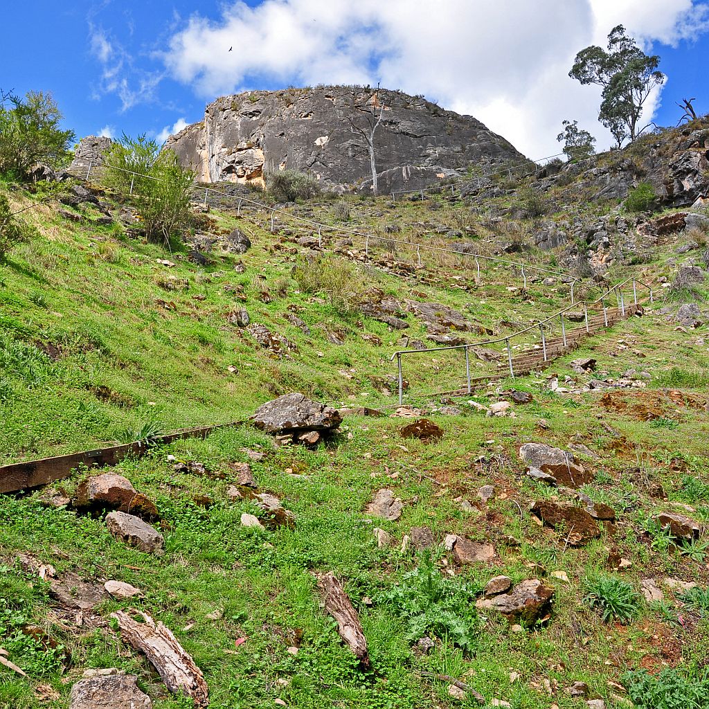
Its all up hill from here

Blacksprings, NSW

Grove Creek

Into the forrest

DSC_0022 - Version 2
Topographic Map of Burraga NSW, Australia
Find elevation by address:

Places near Burraga NSW, Australia:
7 Church St
Trunkey Creek
Black Springs
Tuena
Oberon Council
Monterey
Norway
334 Sloggetts Rd
Shooters Hill
Westrel
Jaunter Road
Jaunter
Bimbimbie
Chatham Valley
Woolbrook
3446 Golspie Rd
Laggan
2663 Laggan-taralga Rd
Jenolan Caves
2996 Laggan Rd
Recent Searches:
- Elevation of Crystal Cir, Birmingham, AL, USA
- Elevation of N Railroad Ave, West Palm Beach, FL, USA
- Elevation of 55 Cassick Valley Rd, Wellfleet, MA, USA
- Elevation of Ironwood Dr, Minden, NV, USA
- Elevation of 高尾山口駅, Takaomachi, Hachioji, Tokyo -, Japan
- Elevation of 15 Victory Ave, Greenville, SC, USA
- Elevation of Kota Ternate Utara, Ternate City, North Maluku, Indonesia
- Elevation of Allon St, Oceanside, NY, USA
- Elevation of Carroll Creek Rd, Custer, SD, USA
- Elevation of Lust Road, Lust Rd, Florida, USA