Elevation of Burr Oak Rd, Glouster, OH, USA
Location: United States > Ohio > Athens County > Trimble Township > Glouster >
Longitude: -82.06309
Latitude: 39.551409
Elevation: 227m / 745feet
Barometric Pressure: 99KPa
Elevation Map:
Satellite Map:
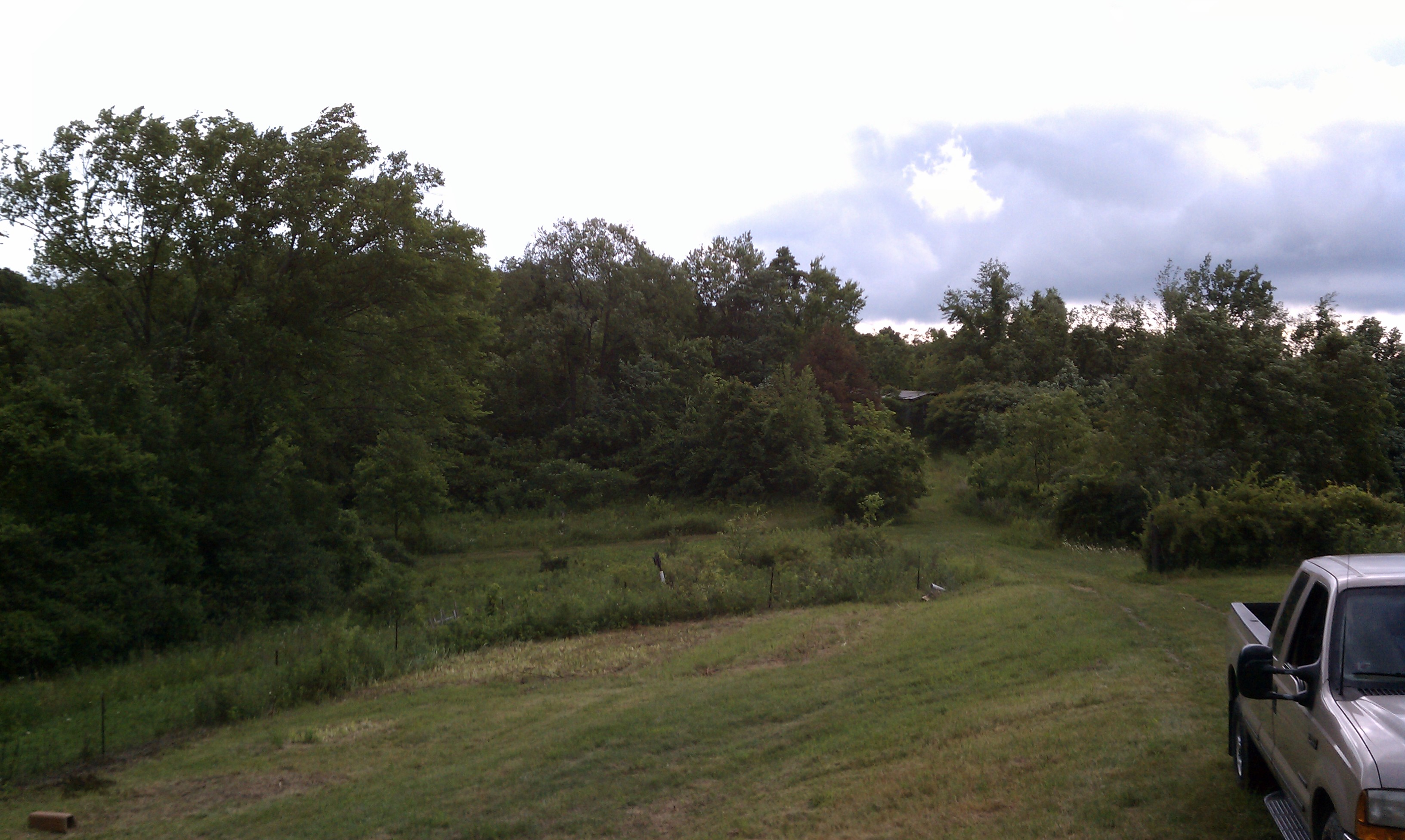
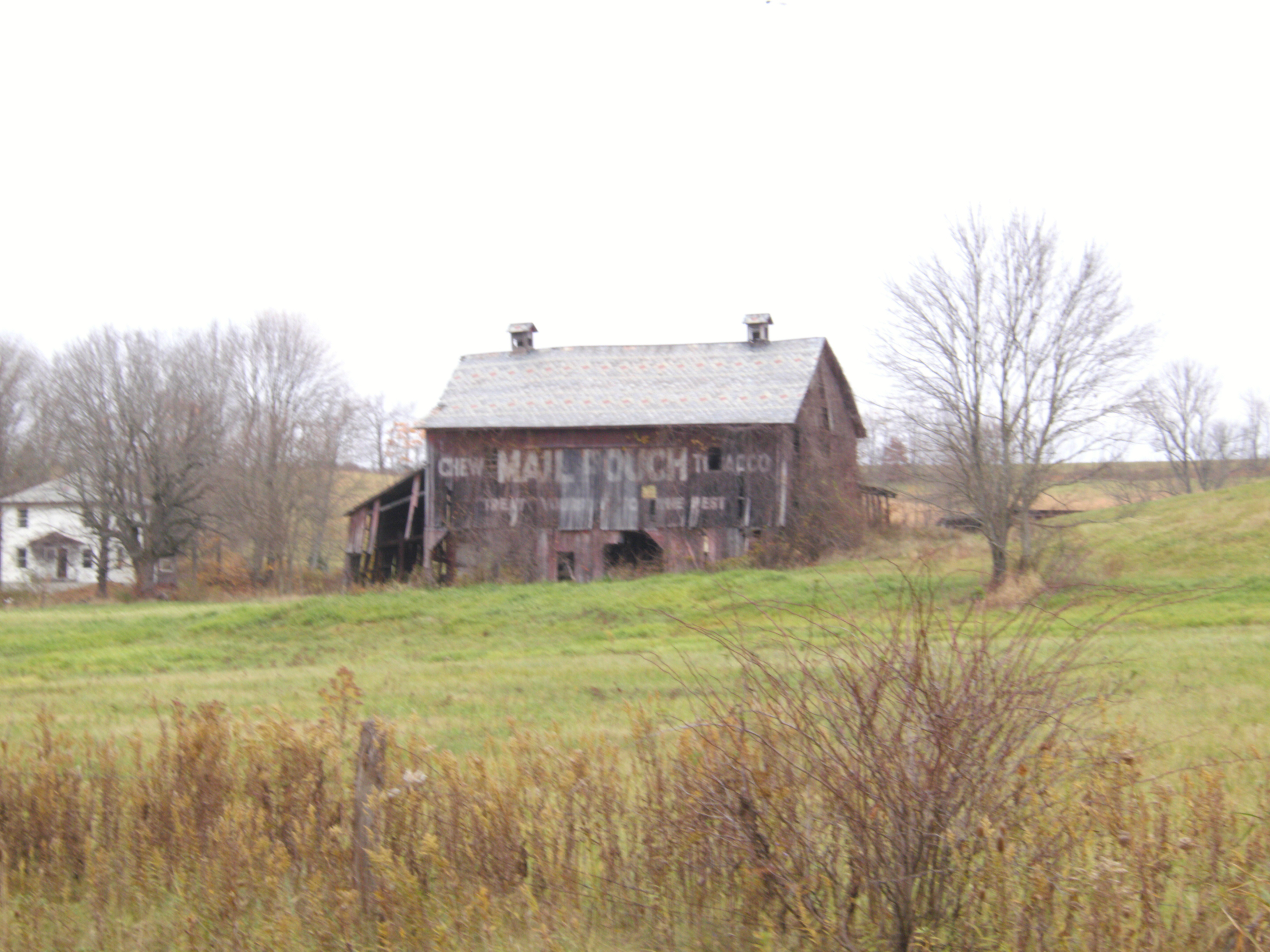
Related Photos:
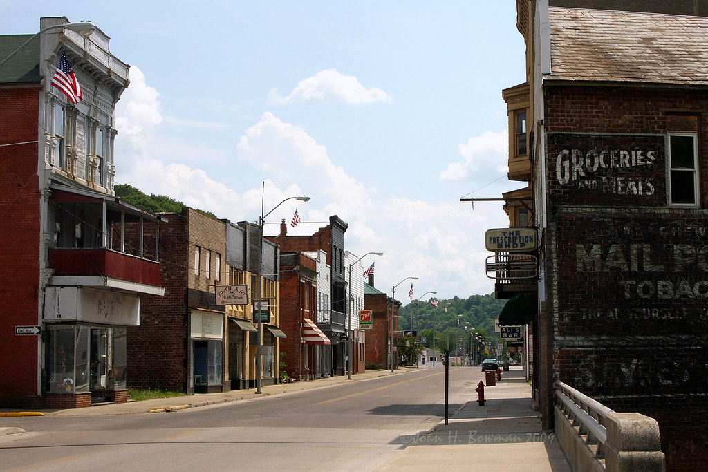
Glory days gone

Recalling earlier times
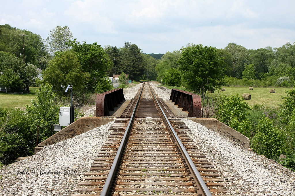
Railroad at Palos Bridge

Puncheon Floor
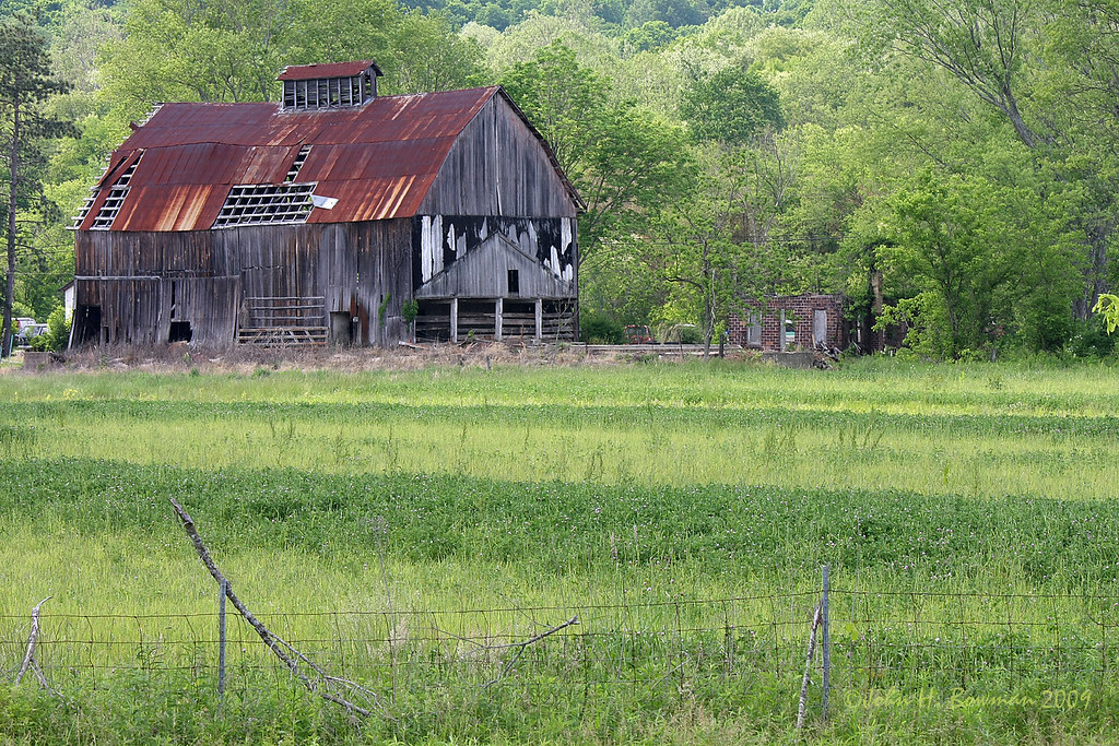
Ohio barn
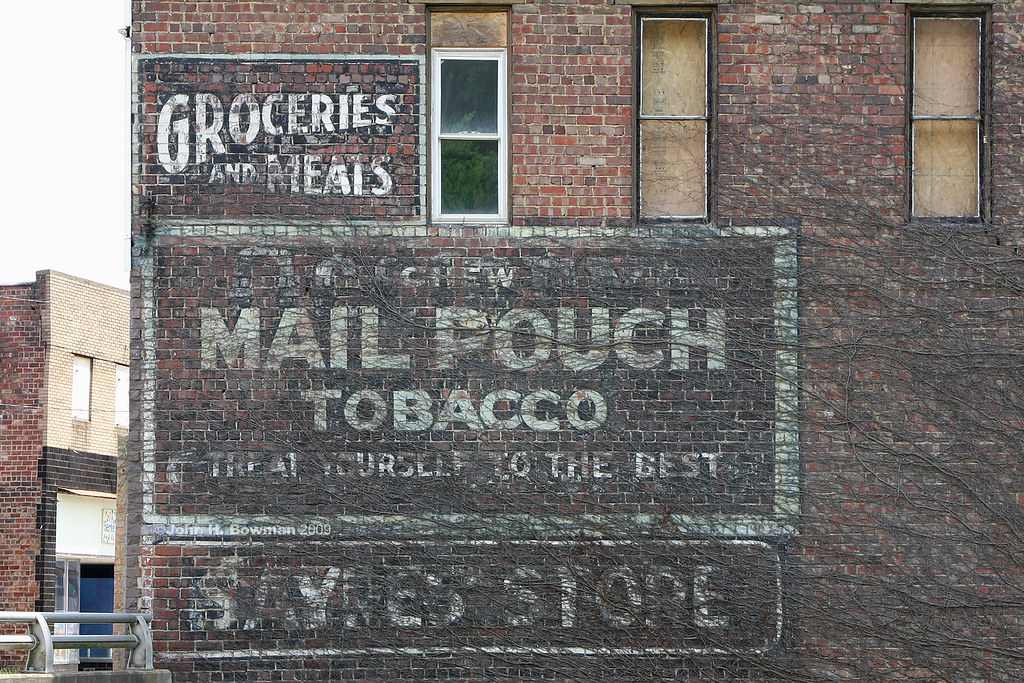
Faded sign & ghosts of signs past
View from side porch
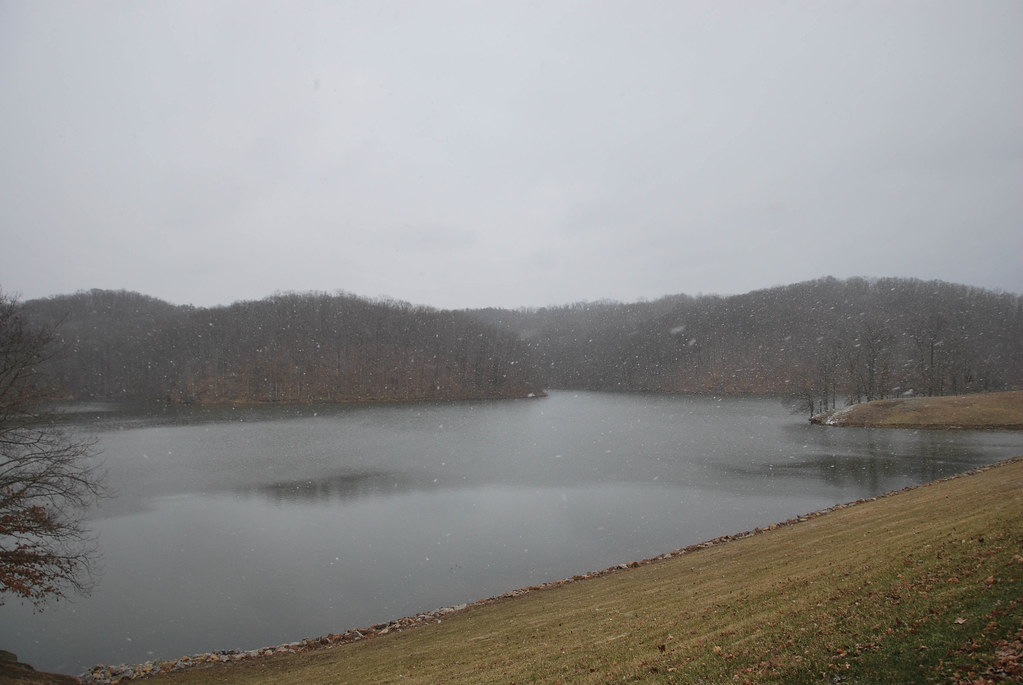
Burr Oak Lake

My World
MPB 35-64-03 Perry County, Ohio

MPB 35-64-03 Perry County, Ohio

Burr Oak State Park
Topographic Map of Burr Oak Rd, Glouster, OH, USA
Find elevation by address:

Places near Burr Oak Rd, Glouster, OH, USA:
Monroe Township
8255 Scenic Rd Se
1505 Oh-78 Scenic
11549 Township Rd 326 Se
Irish Ridge Rd SE, Corning, OH, USA
11549 Township Rd 326 Se
740 Pascal Rd
Union Township
OH-, Malta, OH, USA
2755 Stoney Point Rd
OH-37, Corning, OH, USA
Morganville
Brandeberry Rd, Malta, OH, USA
Bearfield Township
Salt Lick Township
Tatmans Rd NE, Crooksville, OH, USA
3233 N Finley Rd
Shawnee
Deerfield Township
New Straitsville
Recent Searches:
- Elevation of Corso Fratelli Cairoli, 35, Macerata MC, Italy
- Elevation of Tallevast Rd, Sarasota, FL, USA
- Elevation of 4th St E, Sonoma, CA, USA
- Elevation of Black Hollow Rd, Pennsdale, PA, USA
- Elevation of Oakland Ave, Williamsport, PA, USA
- Elevation of Pedrógão Grande, Portugal
- Elevation of Klee Dr, Martinsburg, WV, USA
- Elevation of Via Roma, Pieranica CR, Italy
- Elevation of Tavkvetili Mountain, Georgia
- Elevation of Hartfords Bluff Cir, Mt Pleasant, SC, USA