Elevation of Burnside, IA, USA
Location: United States > Iowa > Webster County >
Longitude: -94.130906
Latitude: 42.3392939
Elevation: 349m / 1145feet
Barometric Pressure: 97KPa
Elevation Map:
Satellite Map:
Related Photos:
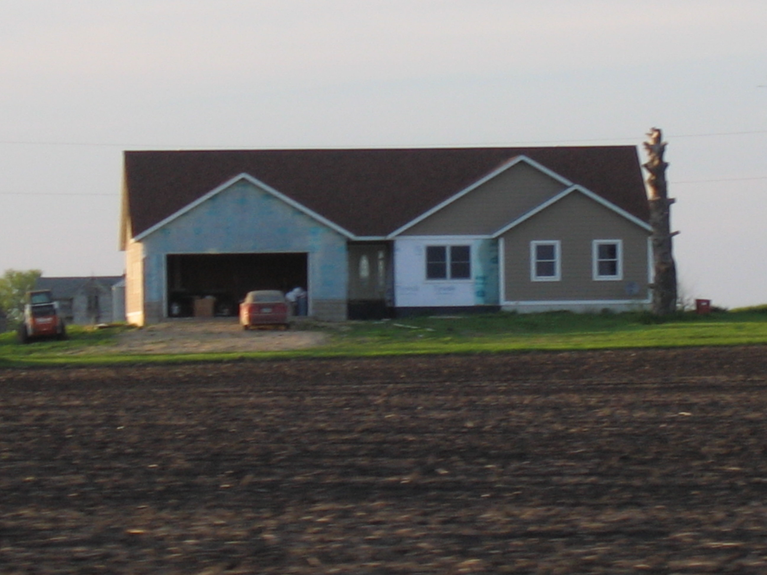
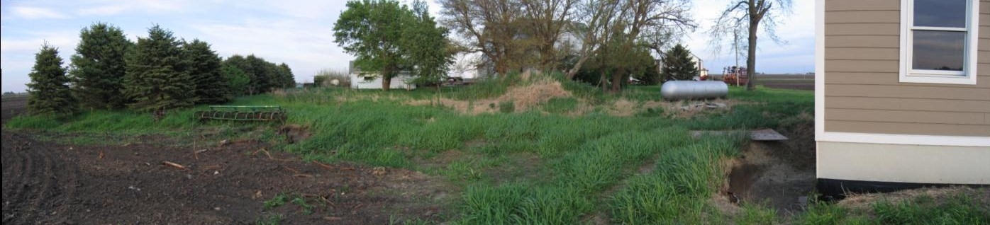
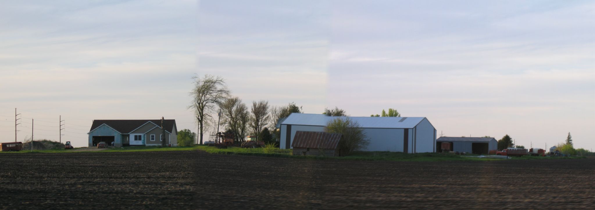
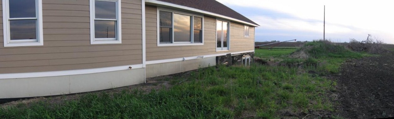
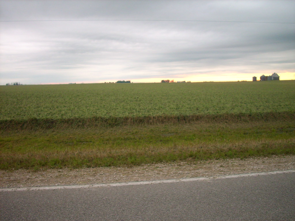
House Across Field
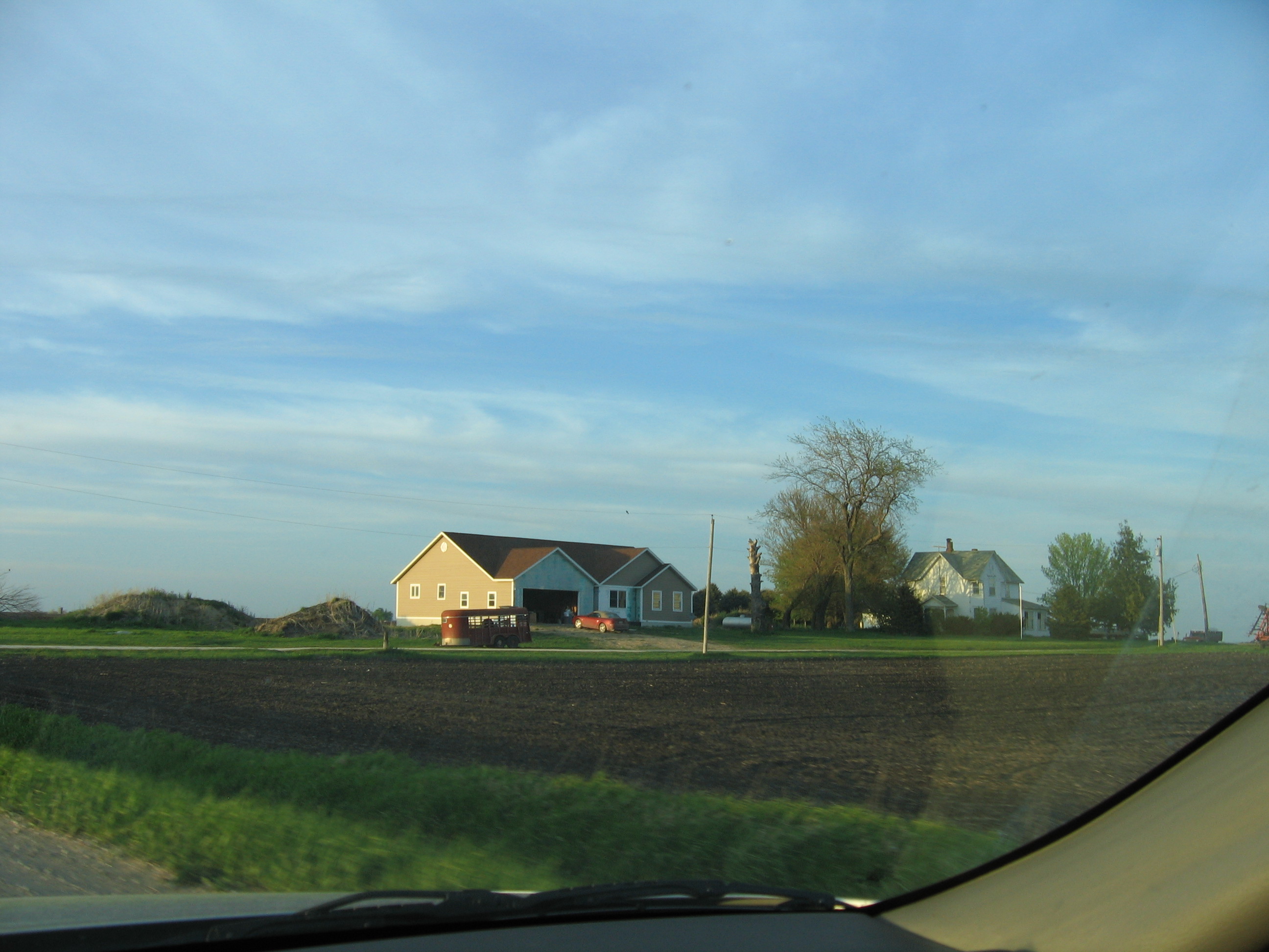
House Across Field 3

Water Spray in the Town of Dayton, Iowa. RAGBRAI XL.
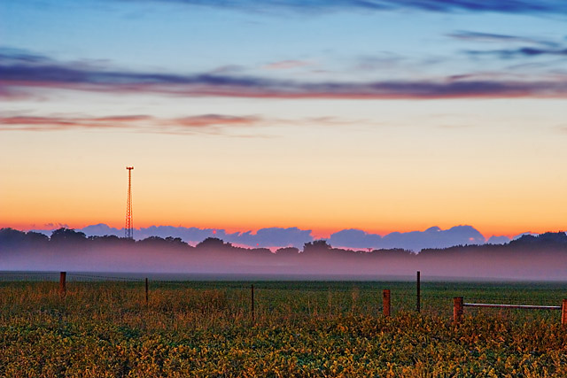
Day 161: Freak Fog
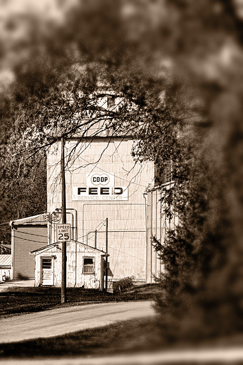
Day 1022: COOP

A Random Road in Iowa

Day 1676: Barnyard
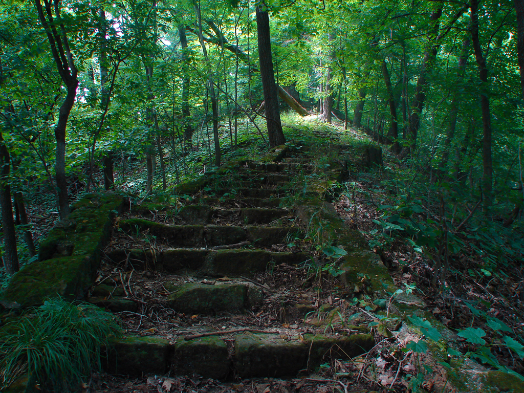
Stone Stairs
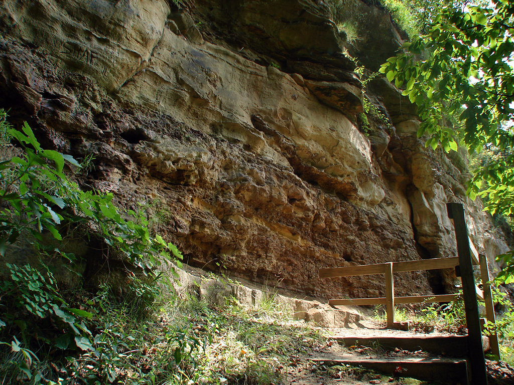
Copperas Beds
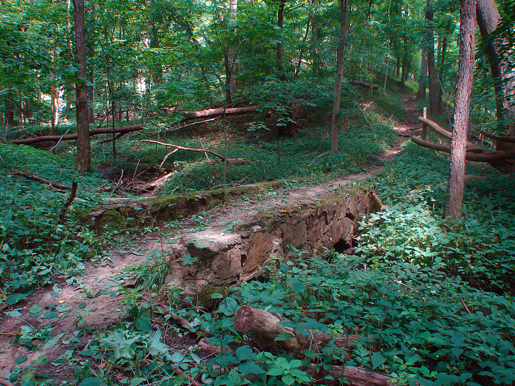
Trail Bridge
Pano Northside Short 1
Pan South Side Front

Boneyard Hollow 5
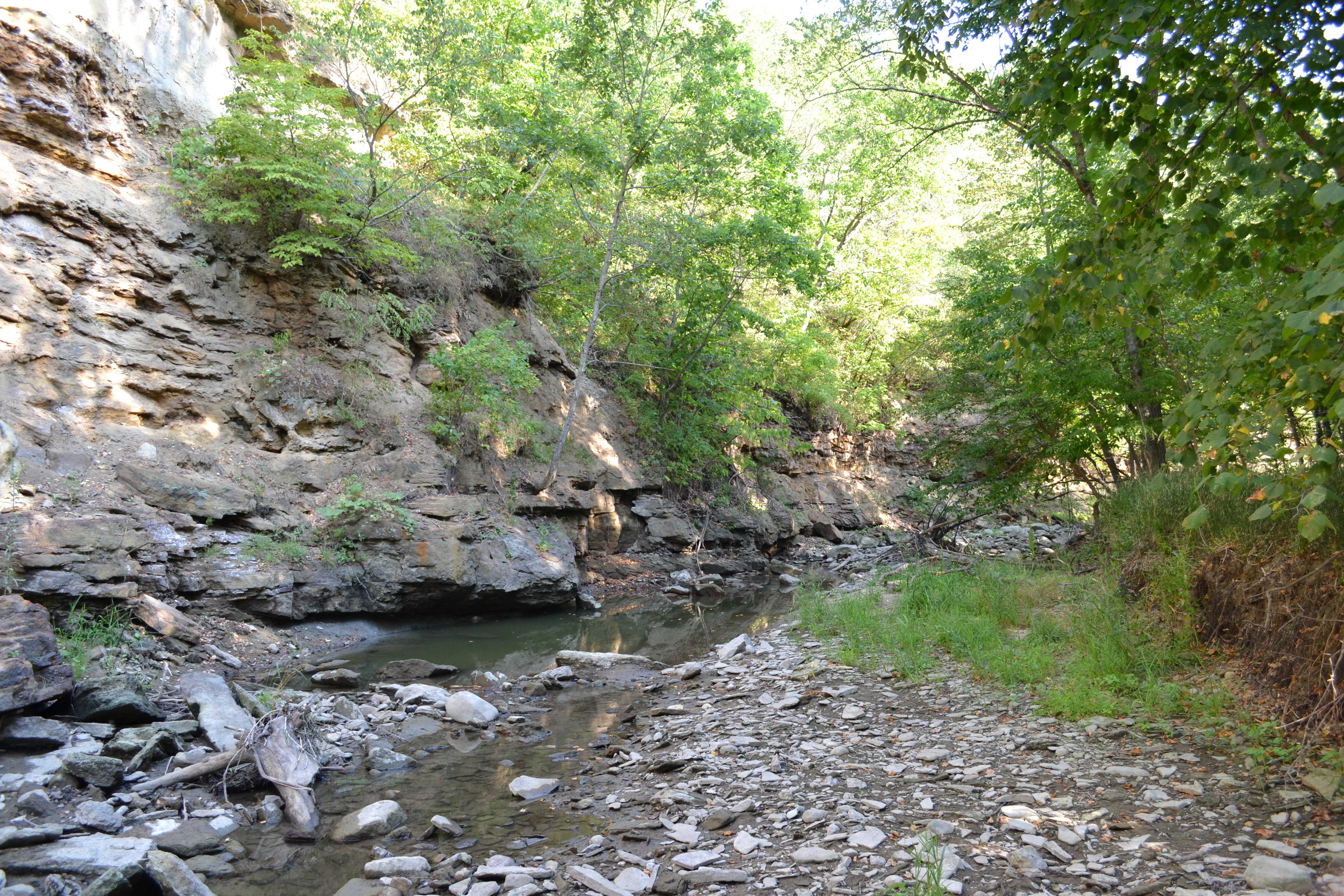
Copperas Beds 2
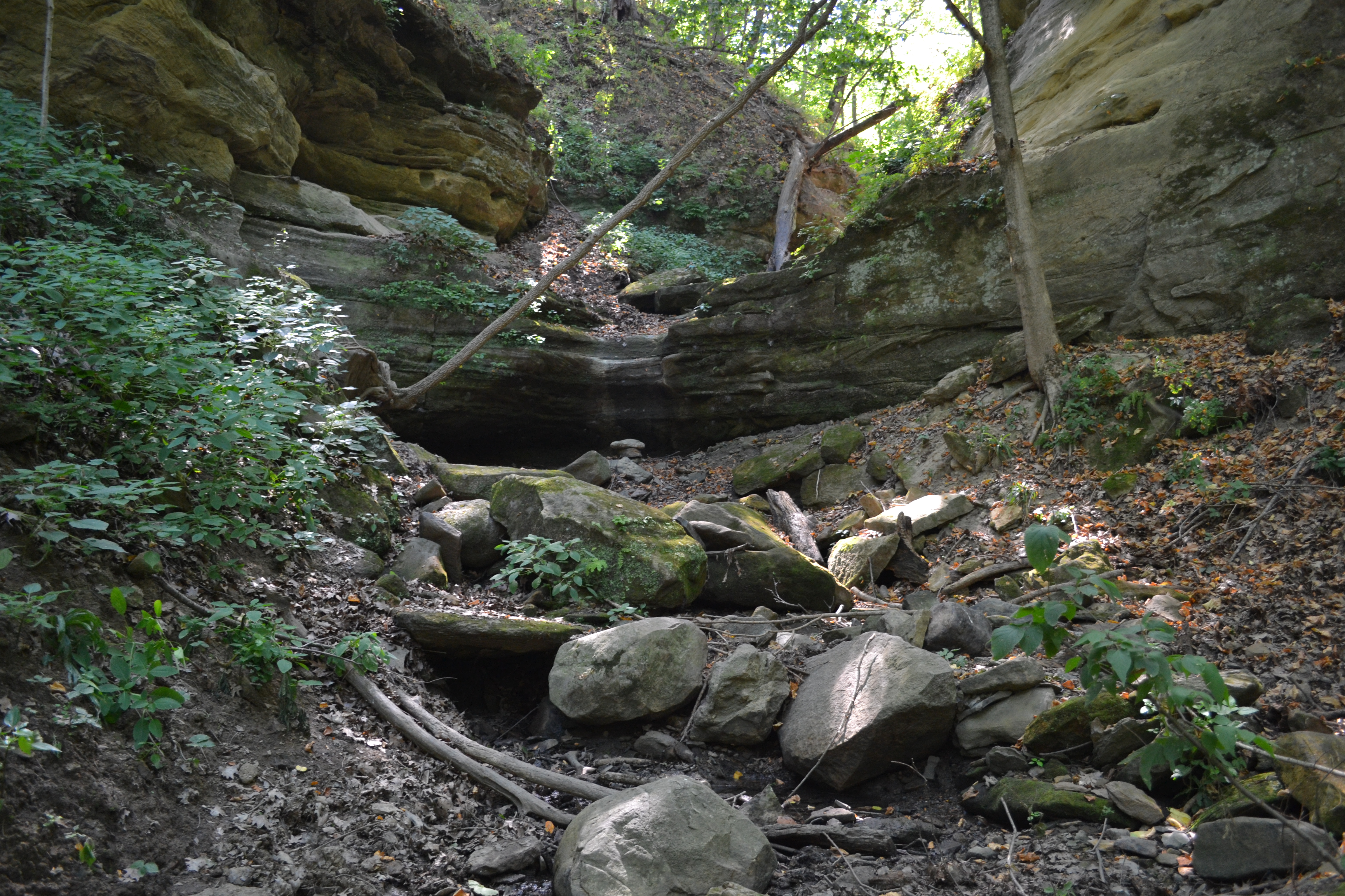
Boneyard Hollow 3
Pano Northside Short 2
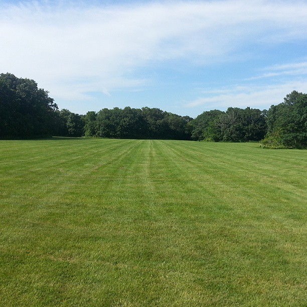
Bean field
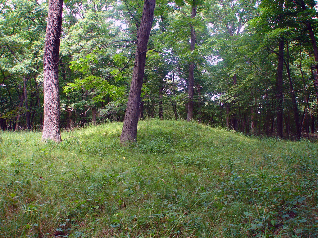
Indian Burial Mounds

Syncronized running

Pan East Side
#nature #TagsForLikes #sky #sun #summer #beach #beautiful #pretty #sunset #sunrise #blue #flowers #night #tree #twilight #clouds #beauty #light #cloudporn #photooftheday #love #green #skylovers #nofilter #weather #day #red #iphonesia #mothernature
Topographic Map of Burnside, IA, USA
Find elevation by address:

Places in Burnside, IA, USA:
Places near Burnside, IA, USA:
Burnside
Paragon Ave, Burnside, IA, USA
th St, Fort Dodge, IA, USA
Webster County
Nelson Avenue
Otho
Clay
Dayton
Otho
Co Hwy D33, Otho, IA, USA
Harcourt
th St, Otho, IA, USA
Dayton
22 S Main St, Dayton, IA, USA
Coalville
Nelson Ave, Fort Dodge, IA, USA
Elkhorn
2340 Riverside Trail
Pleasant Valley
Lost Grove
Recent Searches:
- Elevation of Pykes Down, Ivybridge PL21 0BY, UK
- Elevation of Jalan Senandin, Lutong, Miri, Sarawak, Malaysia
- Elevation of Bilohirs'k
- Elevation of 30 Oak Lawn Dr, Barkhamsted, CT, USA
- Elevation of Luther Road, Luther Rd, Auburn, CA, USA
- Elevation of Unnamed Road, Respublika Severnaya Osetiya — Alaniya, Russia
- Elevation of Verkhny Fiagdon, North Ossetia–Alania Republic, Russia
- Elevation of F. Viola Hiway, San Rafael, Bulacan, Philippines
- Elevation of Herbage Dr, Gulfport, MS, USA
- Elevation of Lilac Cir, Haldimand, ON N3W 2G9, Canada