Elevation of Burkburnett, TX, USA
Location: United States > Texas > Wichita County >
Longitude: -98.570613
Latitude: 34.0978711
Elevation: 323m / 1060feet
Barometric Pressure: 98KPa
Elevation Map:
Satellite Map:
Related Photos:
over the river to texas
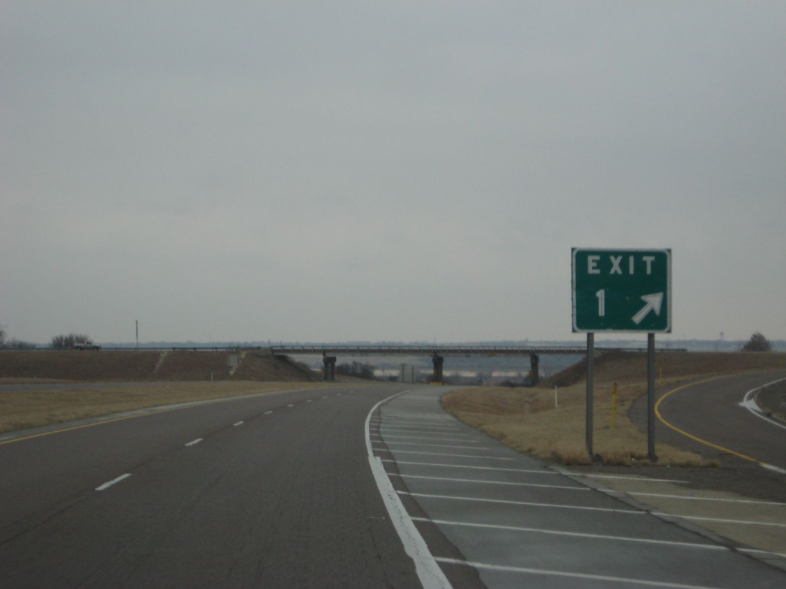
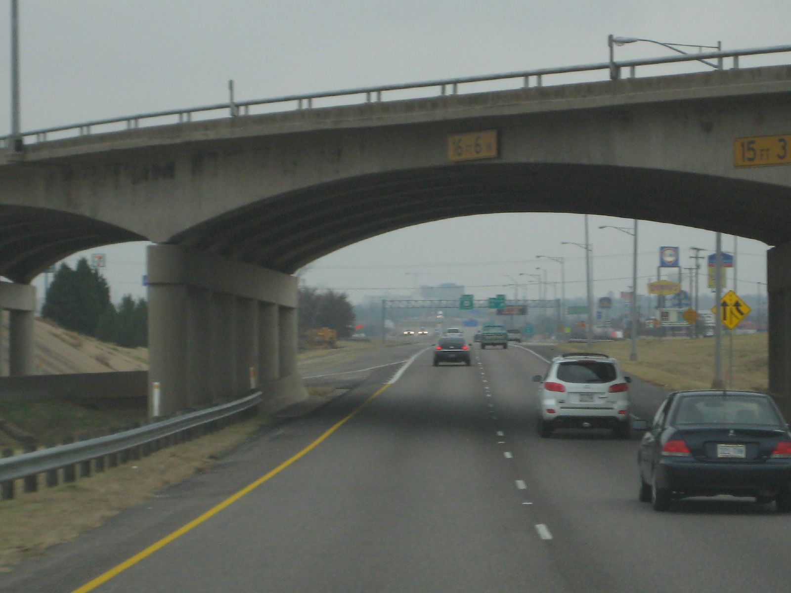
exit 1 in texas
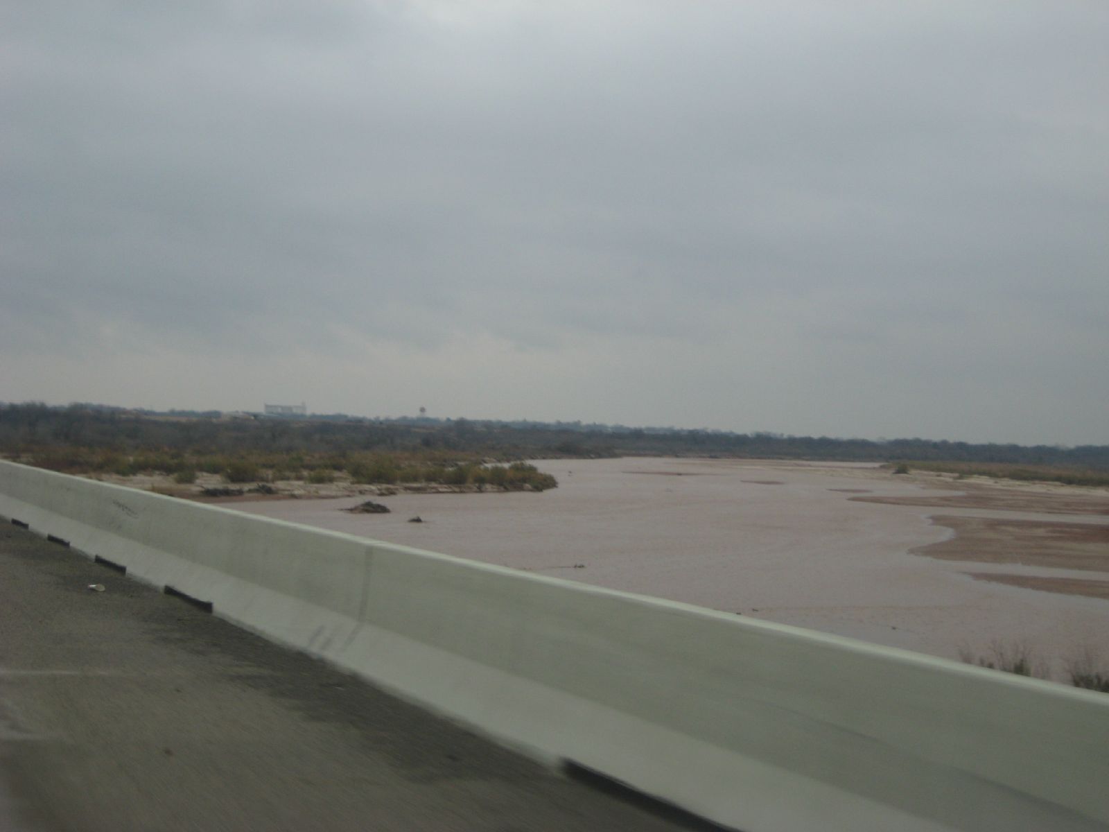
the red river flowing
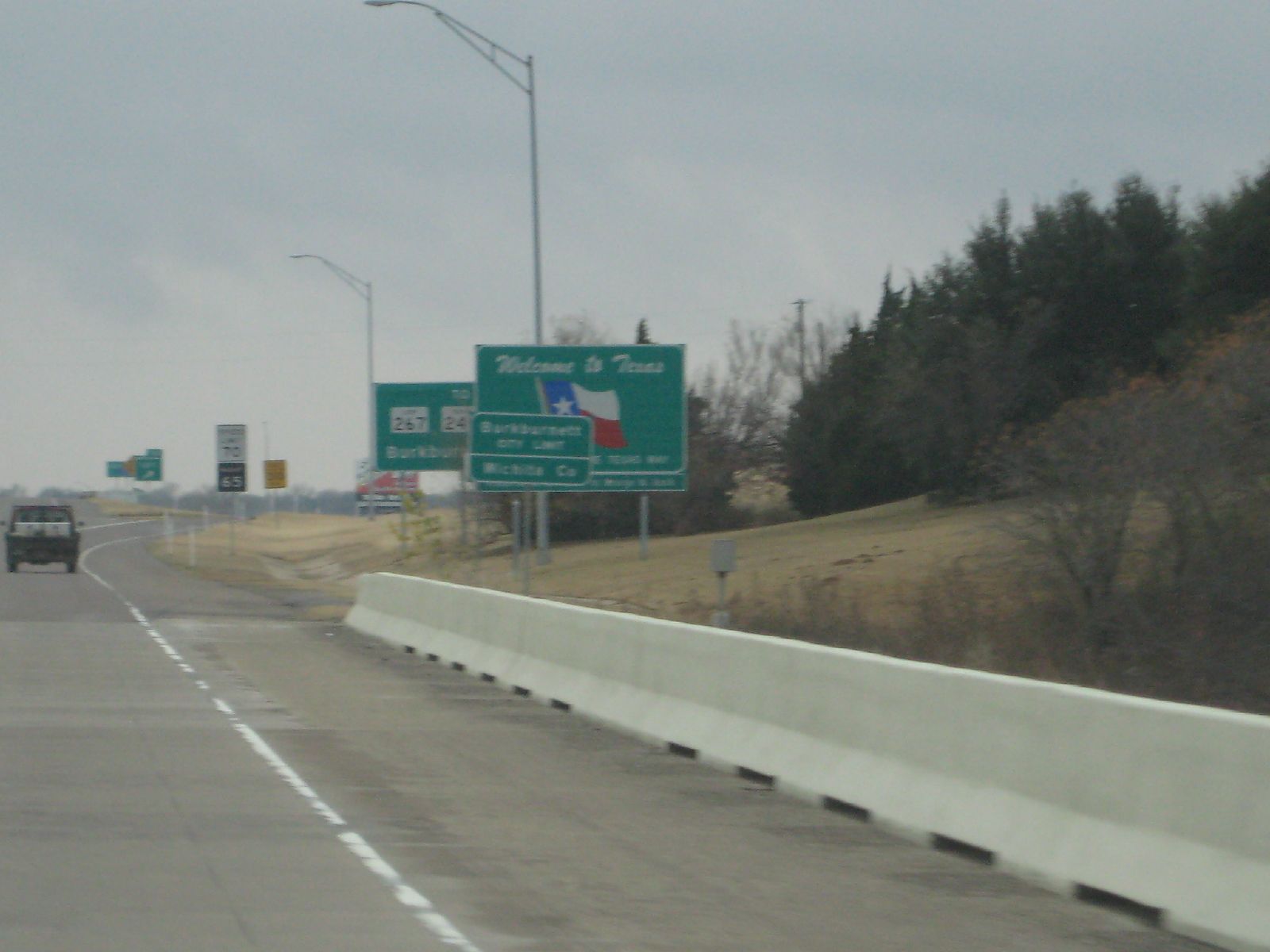
texas border

drvfrmOK 021
whichita falls in distance
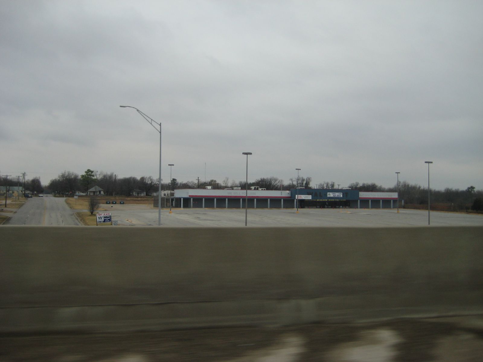
defunct wal-mart

Front door view

Fixer-upper west of Burkburnett TX

Wild Goose Island Overlook
Randlett_10-11-16
Randlett, OK_10-3-16

Old barn on the Texas plain, barbed wire

"Indian Paintbrush"
Topographic Map of Burkburnett, TX, USA
Find elevation by address:

Places in Burkburnett, TX, USA:
Places near Burkburnett, TX, USA:
914 Mohawk Dr
Burkburnett, TX, USA
Perkins Rd, Wichita Falls, TX, USA
FM, Iowa Park, TX, USA
Sheppard Air Force Base
Sheppard Air Force Base
Oyo Hotel Wichita Falls - Maurine St.
Iowa Park
Lucy Park
Wichita Falls
1414 Tilden St
1304 Kell W Blvd
3400 Nottinghill Ln
4301 Dehaven Dr
Parker Ranch Road
Wichita County
6200 Talon Trail
5423 Carlson St
Royal Rd, Wichita Falls, TX, USA
West Cache Creek
Recent Searches:
- Elevation of Unnamed Road, Respublika Severnaya Osetiya — Alaniya, Russia
- Elevation of Verkhny Fiagdon, North Ossetia–Alania Republic, Russia
- Elevation of F. Viola Hiway, San Rafael, Bulacan, Philippines
- Elevation of Herbage Dr, Gulfport, MS, USA
- Elevation of Lilac Cir, Haldimand, ON N3W 2G9, Canada
- Elevation of Harrod Branch Road, Harrod Branch Rd, Kentucky, USA
- Elevation of Wyndham Grand Barbados Sam Lords Castle All Inclusive Resort, End of Belair Road, Long Bay, Bridgetown Barbados
- Elevation of Iga Trl, Maggie Valley, NC, USA
- Elevation of N Co Rd 31D, Loveland, CO, USA
- Elevation of Lindever Ln, Palmetto, FL, USA