Elevation map of Burdekin Shire, Burdekin, QLD, Australia
Location: Australia > Queensland >
Longitude: 147.462725
Latitude: -19.522715
Elevation: 7m / 23feet
Barometric Pressure: 101KPa
Elevation Map:
Satellite Map:
Related Photos:
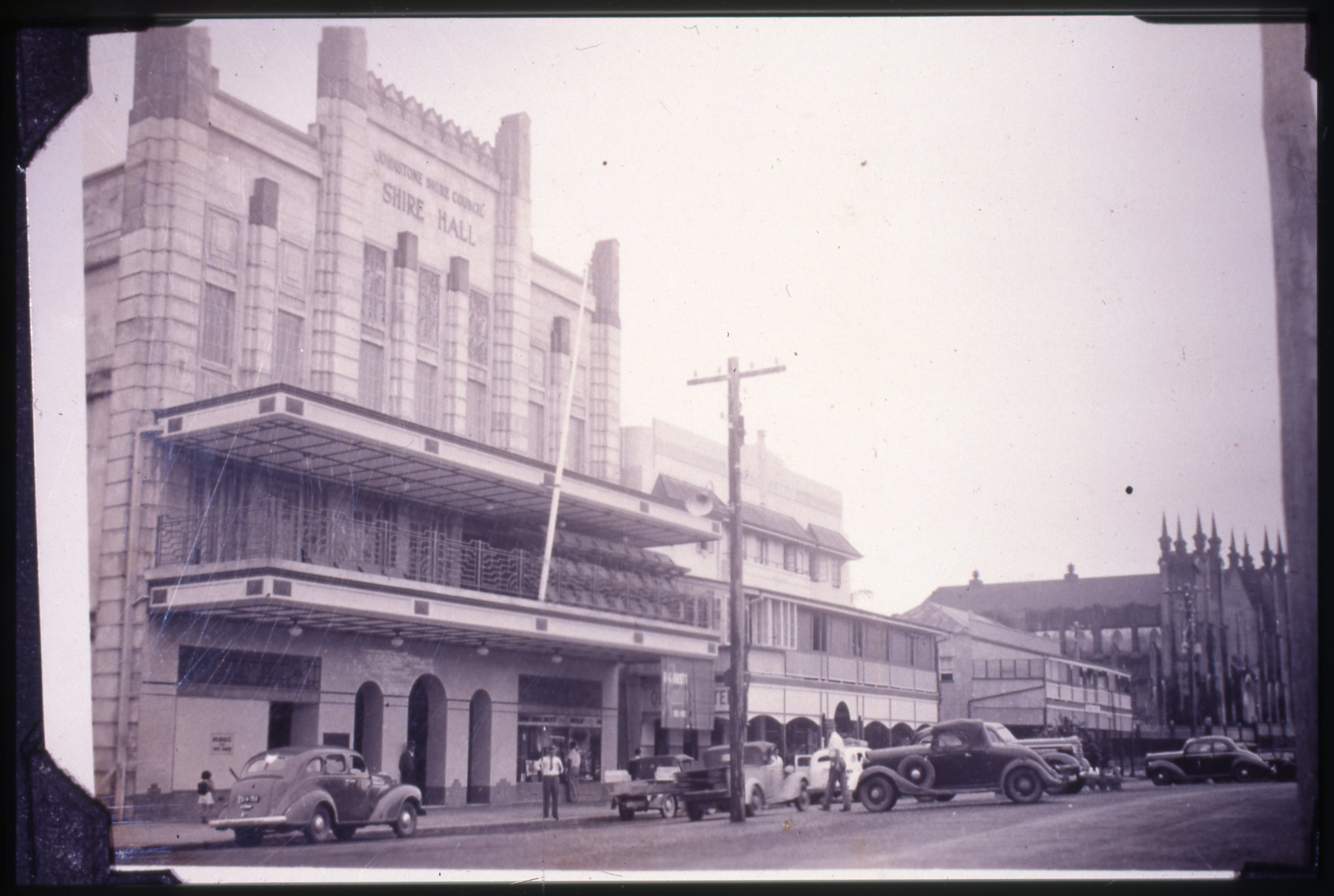
Johnstone Shire Hall

Celebrating the end of World War I with a peace procession, Home Hill, 1919

Colourful Cane
Topographic Map of Burdekin Shire, Burdekin, QLD, Australia
Find elevation by address:

Places in Burdekin Shire, Burdekin, QLD, Australia:
Places near Burdekin Shire, Burdekin, QLD, Australia:
Ayr
Majors Creek
Wulguru
13 Broadwater Terrace
74 Twinview Terrace
3 Twinview Terrace
9 Sovereign Terrace
3 Waterdale Pocket
24 Westbrook Dr
4 Brookside Cl
20 Florey St
Idalia
68 Petrie Way
30 Northshore Cct
Railway Estate
First Street
Townsville
5 Kulwin Ct
Rosslea
50 Mayneside Cct
Recent Searches:
- Elevation of Scenic Shore Dr, Kingwood Area, TX, USA
- Elevation of W Prive Cir, Delray Beach, FL, USA
- Elevation of S Layton Cir W, Layton, UT, USA
- Elevation of F36W+3M, Mussoorie, Uttarakhand, India
- Elevation of Fairland Ave, Fairhope, AL, USA
- Elevation of Sunset Dr, Richmond, VA, USA
- Elevation of Grodna District, Hrodna Region, Belarus
- Elevation of Hrodna, Hrodna Region, Belarus
- Elevation of Sandia Derby Estates, Tijeras, NM, USA
- Elevation of 23 Sunrise View Ct, Tijeras, NM, USA