Elevation of Bungtang healthpost, Bungtang, Nepal
Location: Nepal > Central Region > Bagmati > Bungtang >
Longitude: 85.1002063
Latitude: 27.9915682
Elevation: 1554m / 5098feet
Barometric Pressure: 84KPa
Elevation Map:
Satellite Map:
Related Photos:

The historic town of Nuwakot early in the morning

Sunset from Nuwakot

View from top of the Nuwakot palace.

Kid enjoing view from top of the palace
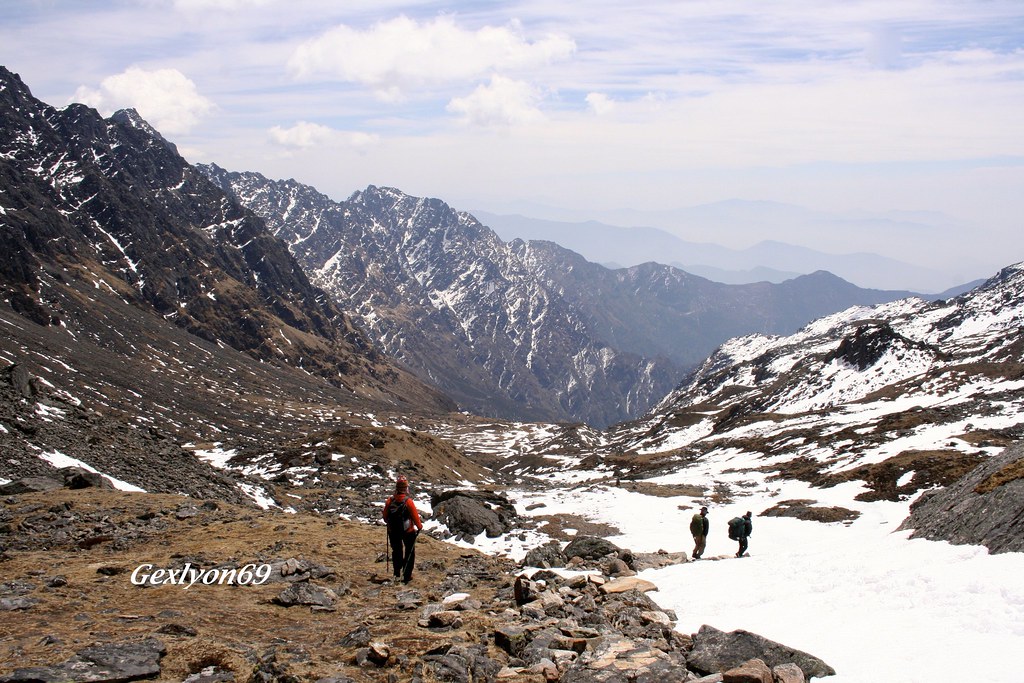
IMG_8614 - Trek au Népal

Nepal_1994_047 Misty valleys and morning light over the foothills (CE-11)
Somewhere at Nepal

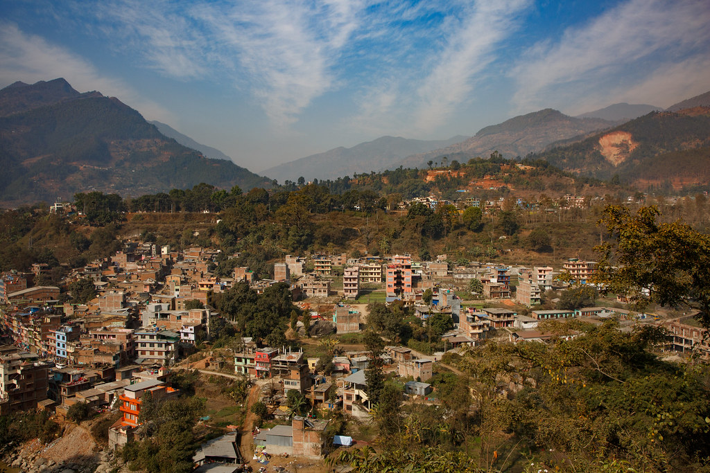
Kerung To Kathmandu
Trisuli Bazar, Nepal 26 januari 2017

Ramche, Langtang National Park, Nepal 26 januari 2017

Good morning #Nuwakot #awesomenepal #ethanloveschips #dontforgetnepal #photochallenge #michaelallangrant

Nuwakot Palace with Trishuli river and valley in background
IMG_1747.jpg

IMG_1746.jpg

IMG_1748.jpg

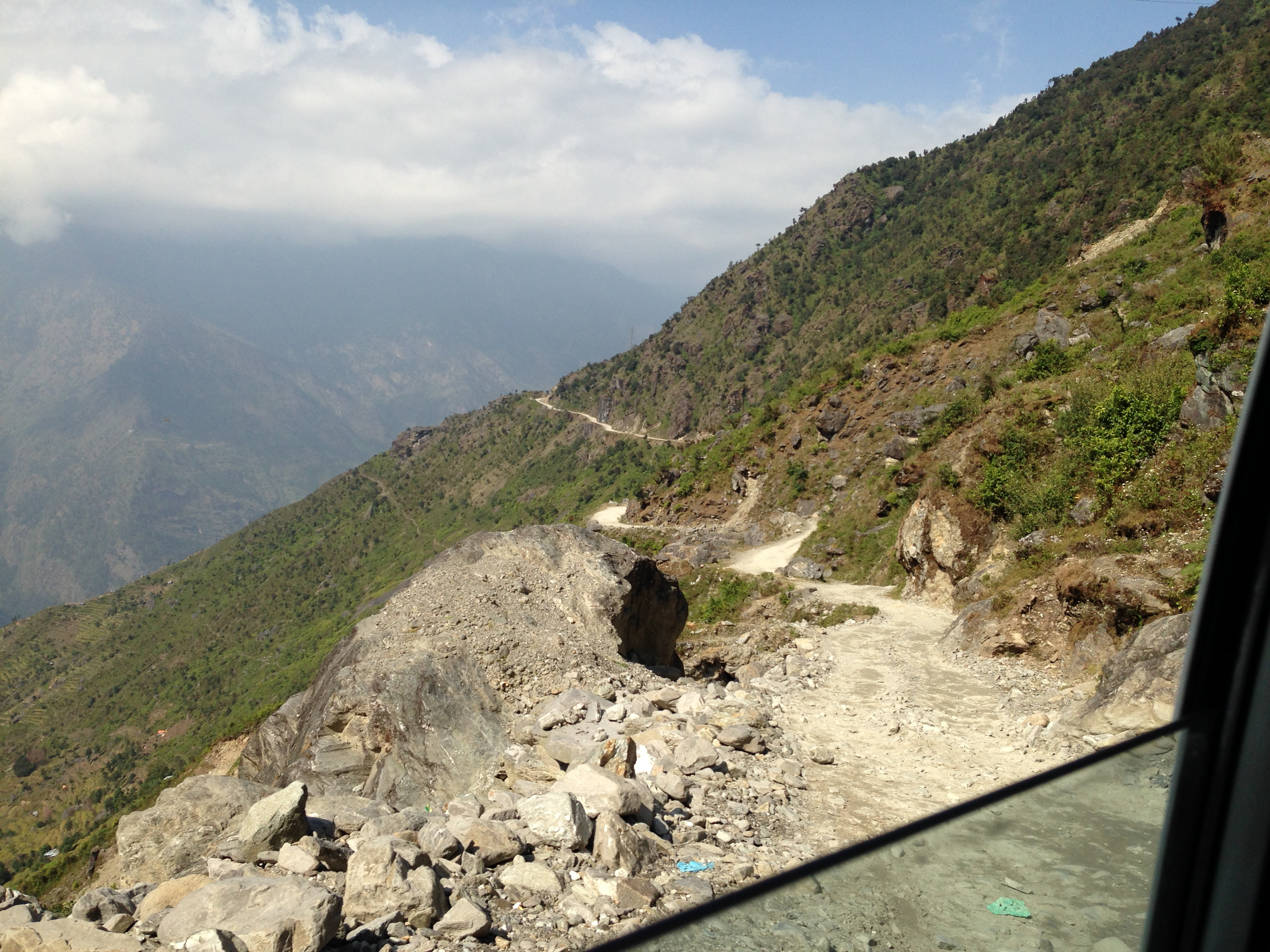
Road to Dunche, Langtang National Park, Nepal 5 februari 2017

2000-10-07 L01-23 Xav Route

IMG_1749.jpg

Kerung To Kathmandu

Nepal-30
Topographic Map of Bungtang healthpost, Bungtang, Nepal
Find elevation by address:

Places near Bungtang healthpost, Bungtang, Nepal:
Bungtang
Manakamana
The Famous Farm, Nuwakot
Bidur
Dangsing
Nuwakot
Majhitar
Chaughada
थानसिंग
Dhading
Nilkantha
Galchhi Bagar Resort
Salyankot
Goganpani
Galchhi Hospital
Kakani
Thansing, Chhahare, Narayan Bogati's Farm
Dhading Besi
Sunaula Bazar
Dhunche
Recent Searches:
- Elevation of W Granada St, Tampa, FL, USA
- Elevation of Pykes Down, Ivybridge PL21 0BY, UK
- Elevation of Jalan Senandin, Lutong, Miri, Sarawak, Malaysia
- Elevation of Bilohirs'k
- Elevation of 30 Oak Lawn Dr, Barkhamsted, CT, USA
- Elevation of Luther Road, Luther Rd, Auburn, CA, USA
- Elevation of Unnamed Road, Respublika Severnaya Osetiya — Alaniya, Russia
- Elevation of Verkhny Fiagdon, North Ossetia–Alania Republic, Russia
- Elevation of F. Viola Hiway, San Rafael, Bulacan, Philippines
- Elevation of Herbage Dr, Gulfport, MS, USA