Elevation of Bungoma, Kenya
Location: Kenya > Bungoma County >
Longitude: 34.5583766
Latitude: 0.5695252
Elevation: 1441m / 4728feet
Barometric Pressure: 85KPa
Elevation Map:
Satellite Map:
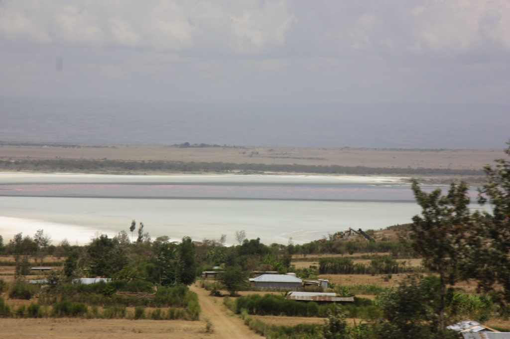
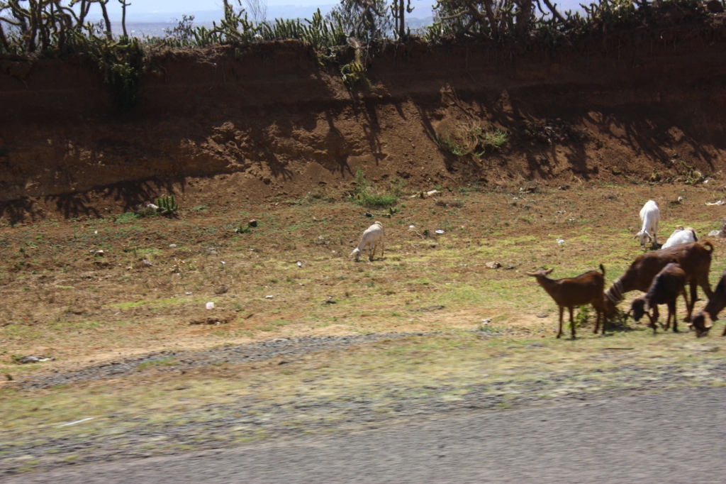
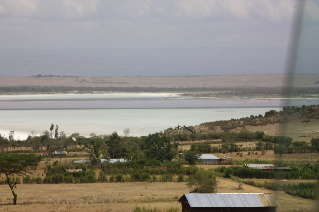
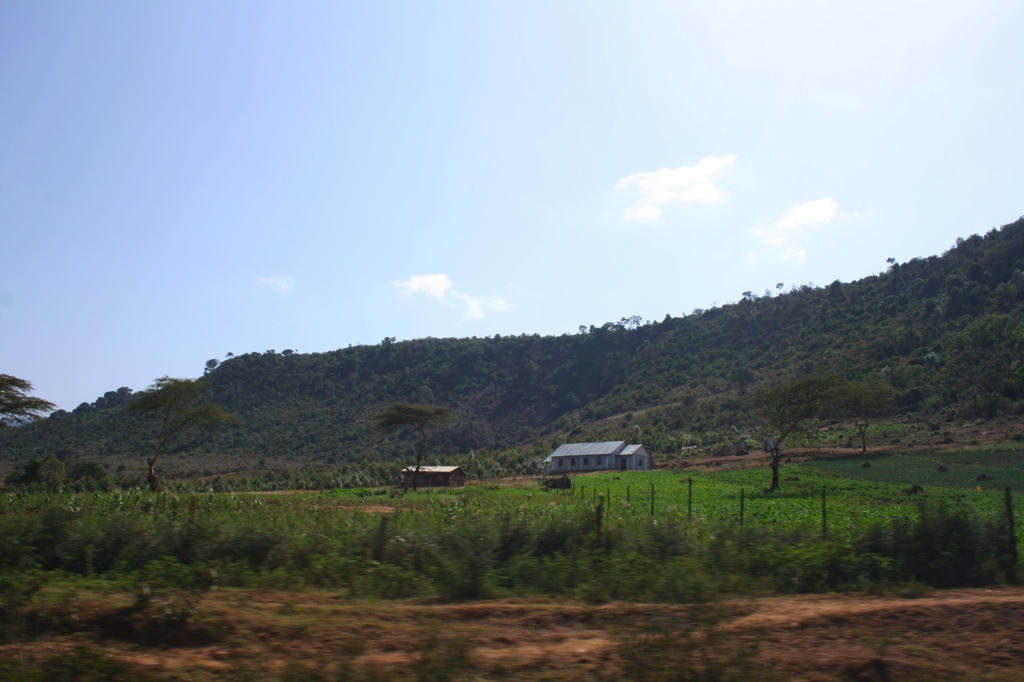
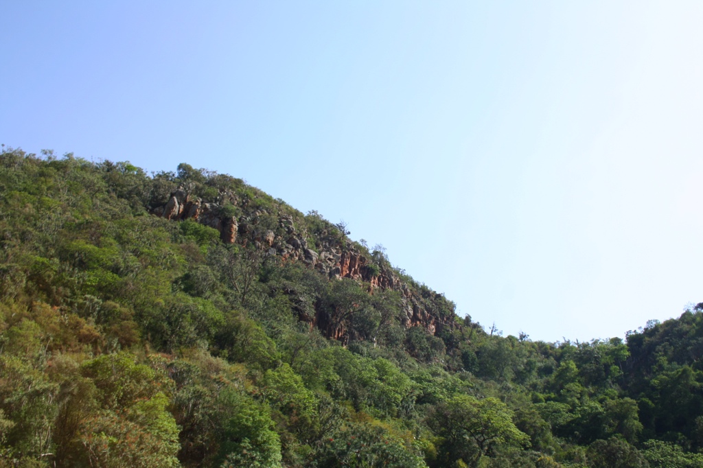
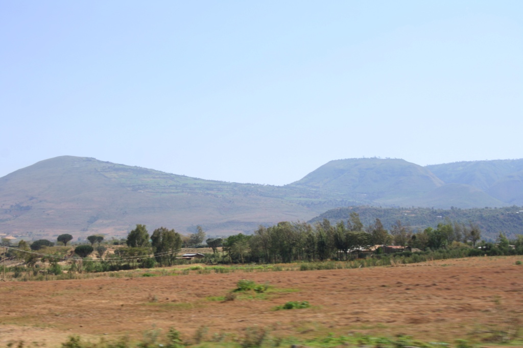
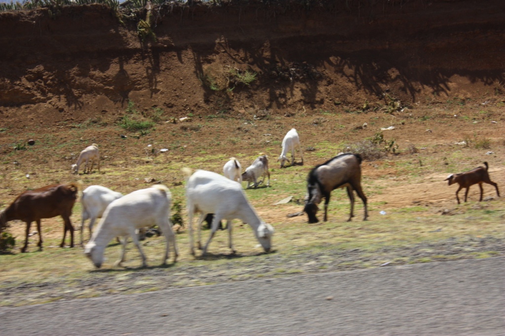
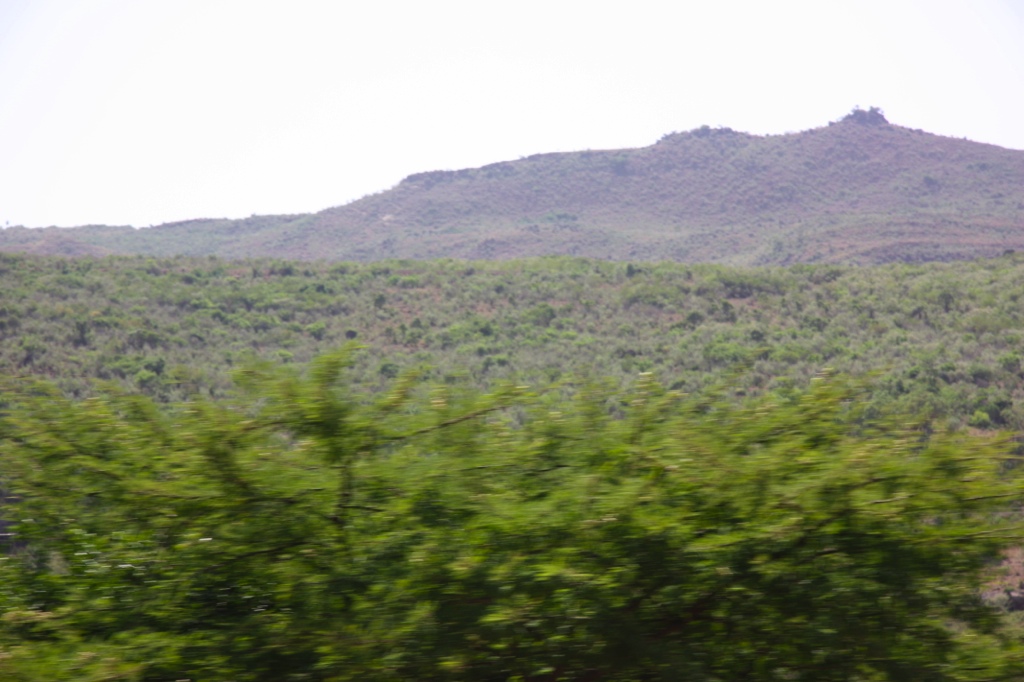
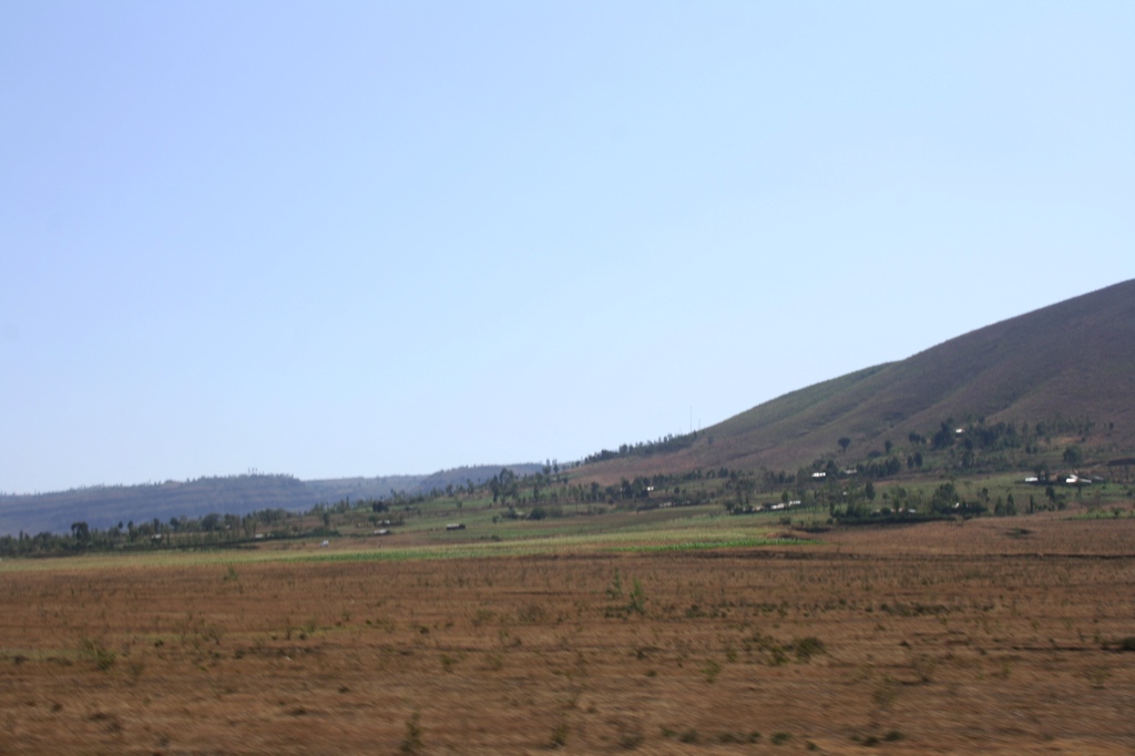
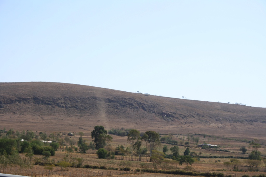
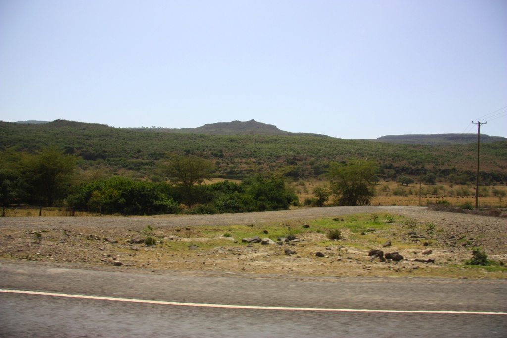
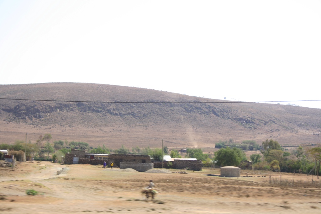
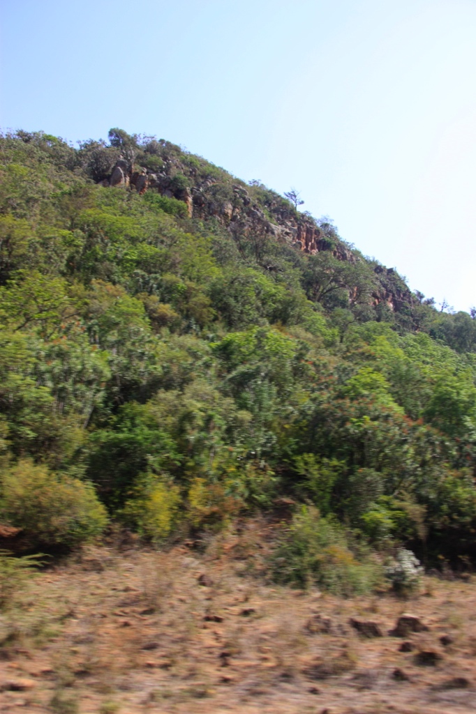
Related Photos:

Homa Bay

IMG_8430.JPG
IMG_0890.JPG
IMG_0885.JPG
IMG_0889.JPG
IMG_8397.JPG
IMG_8400.JPG
IMG_8399.JPG
IMG_8409.JPG
IMG_0884.JPG
IMG_0896.JPG
IMG_8410.JPG
IMG_8411.JPG
IMG_0895.JPG
IMG_8412.JPG

IMG_8398.JPG
IMG_0871.jpg
Topographic Map of Bungoma, Kenya
Find elevation by address:

Places near Bungoma, Kenya:
Chwele
Webuye
Bungoma County
Adanya
Konna
Cheptais Town Centre
St. Mary Immaculate Shihome Primary School
Shianda
Lugulu
Lunza
Lunza Primary School
Busia County
Kakamega Town
Kakamega County
Kakamega
Igula Dispensary
Bubulo
Igula Deb Primary School
Bumala
Busekere Church Of Uganda
Recent Searches:
- Elevation of Tenjo, Cundinamarca, Colombia
- Elevation of Côte-des-Neiges, Montreal, QC H4A 3J6, Canada
- Elevation of Bobcat Dr, Helena, MT, USA
- Elevation of Zu den Ihlowbergen, Althüttendorf, Germany
- Elevation of Badaber, Peshawar, Khyber Pakhtunkhwa, Pakistan
- Elevation of SE Heron Loop, Lincoln City, OR, USA
- Elevation of Slanický ostrov, 01 Námestovo, Slovakia
- Elevation of Spaceport America, Co Rd A, Truth or Consequences, NM, USA
- Elevation of Warwick, RI, USA
- Elevation of Fern Rd, Whitmore, CA, USA