Elevation of BUNGE ANNEX, 64 Fårösund, Sweden
Location: Sweden > Gotland County > Gotland N >
Longitude: 19.0268888
Latitude: 57.8539535
Elevation: 28m / 92feet
Barometric Pressure: 101KPa
Elevation Map:
Satellite Map:
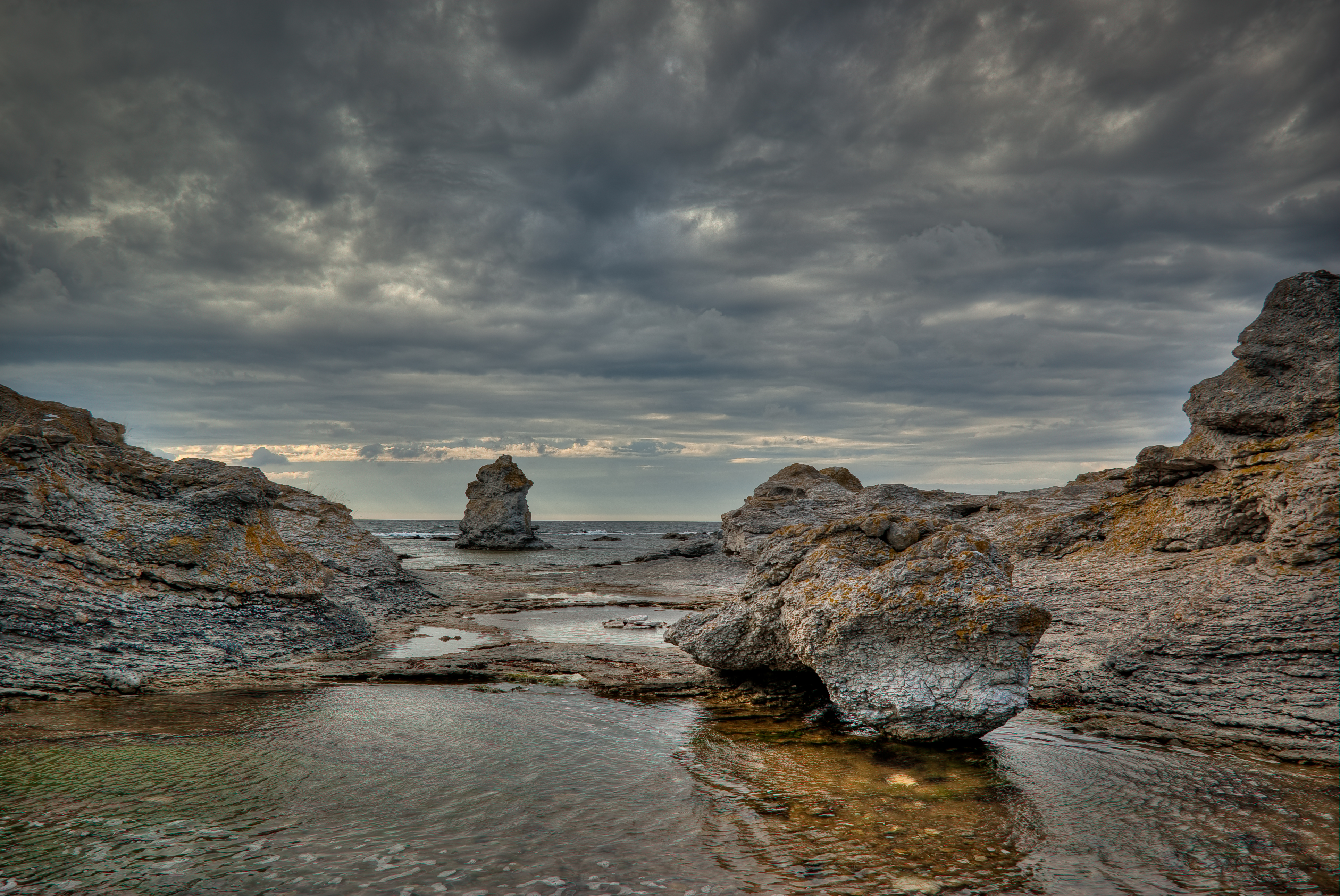
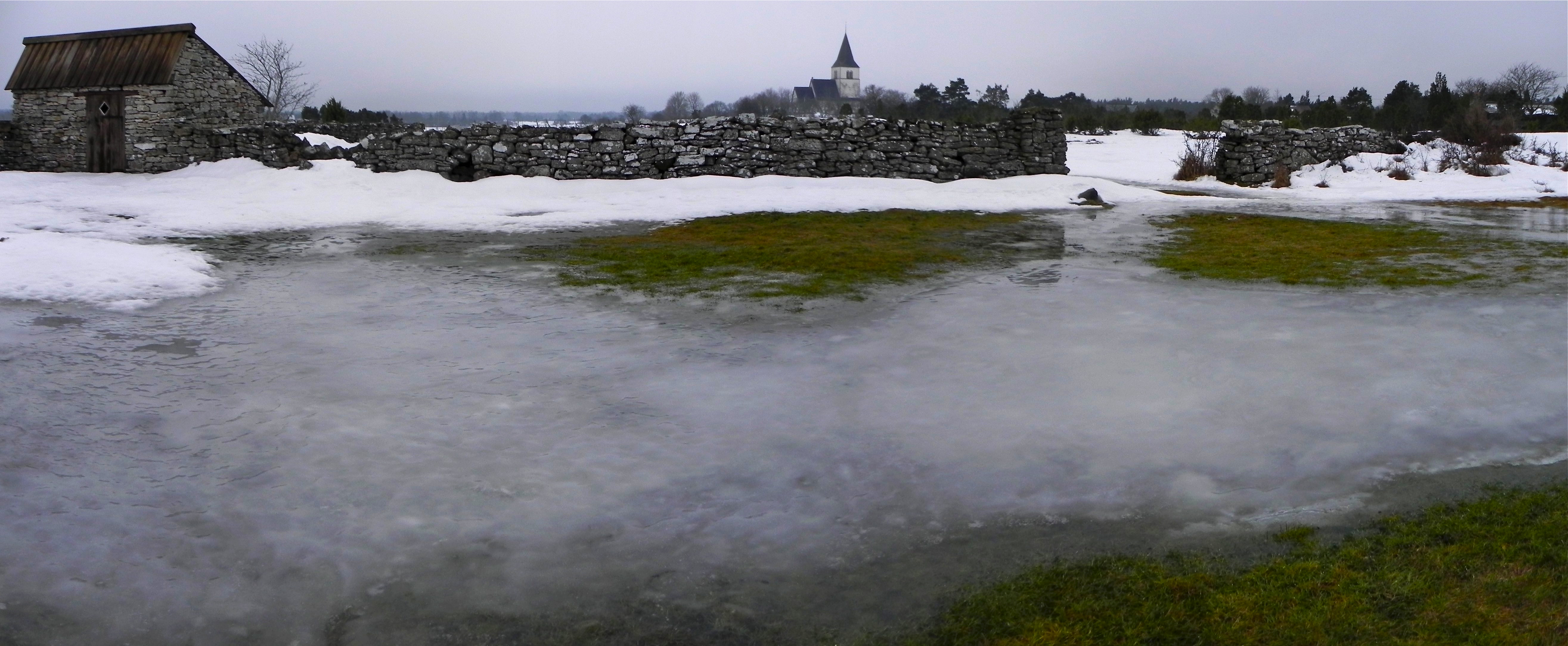
Related Photos:
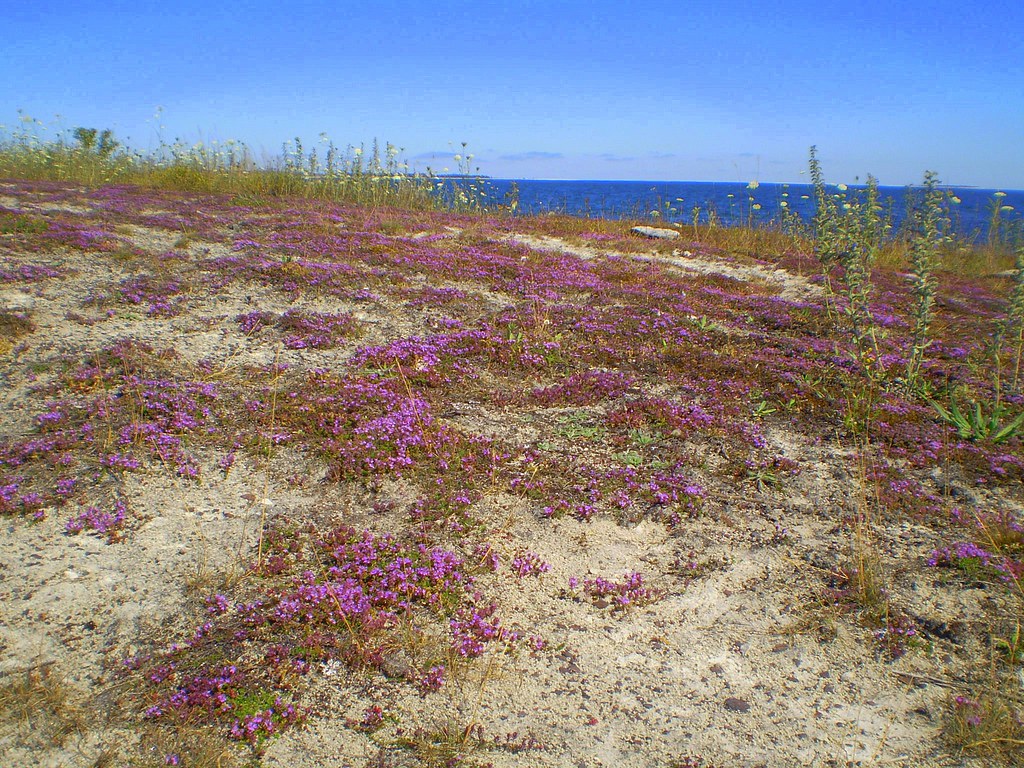
Lörje beach ~ Gotland
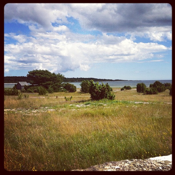
Cottage view

Fisherman's beach
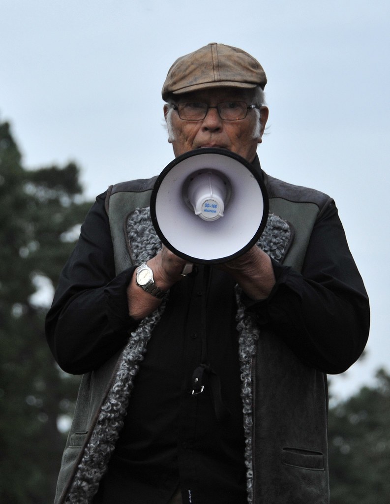
Demonstration Ojnareskogen Gotland
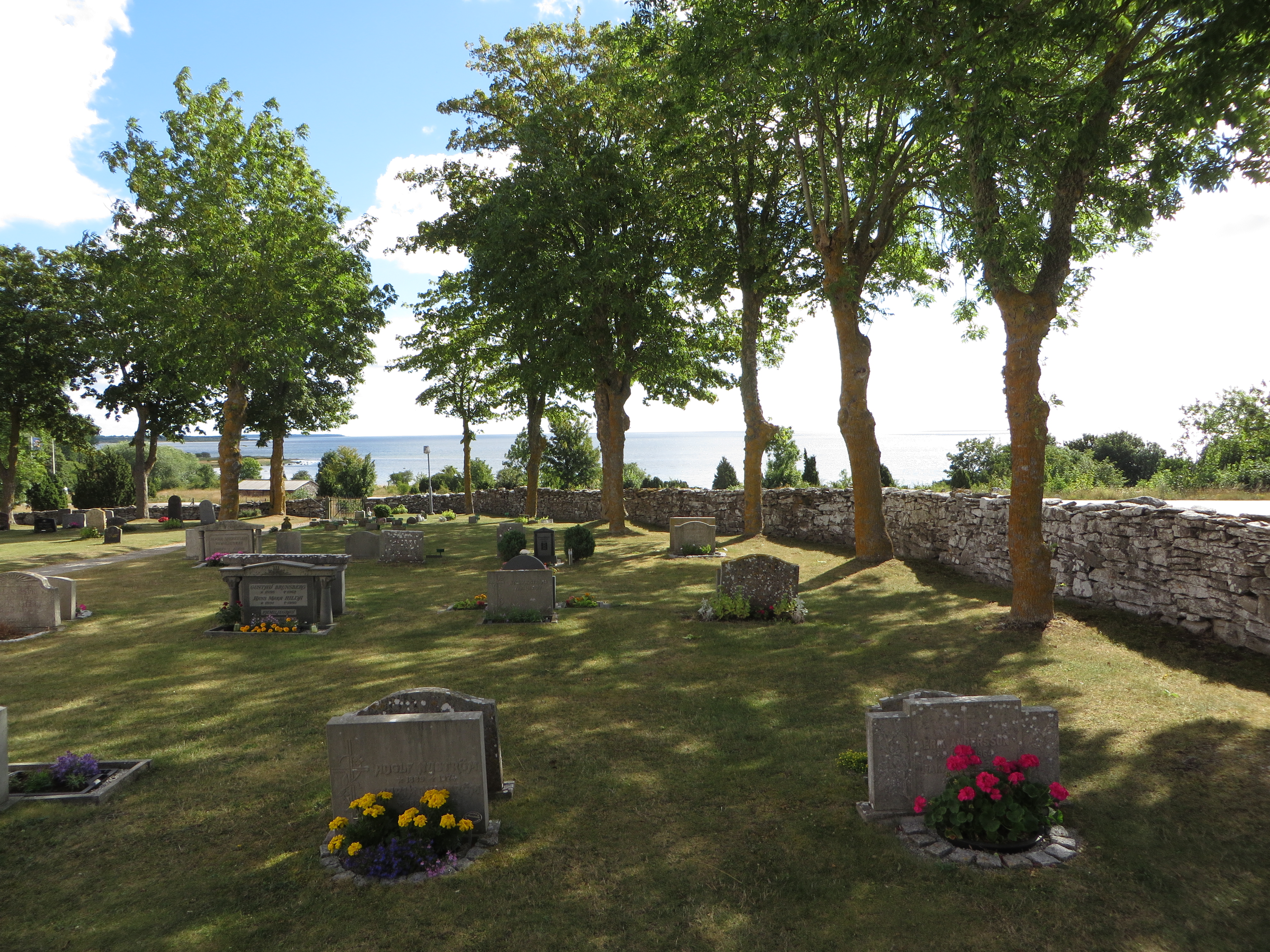
Fårö churchyard
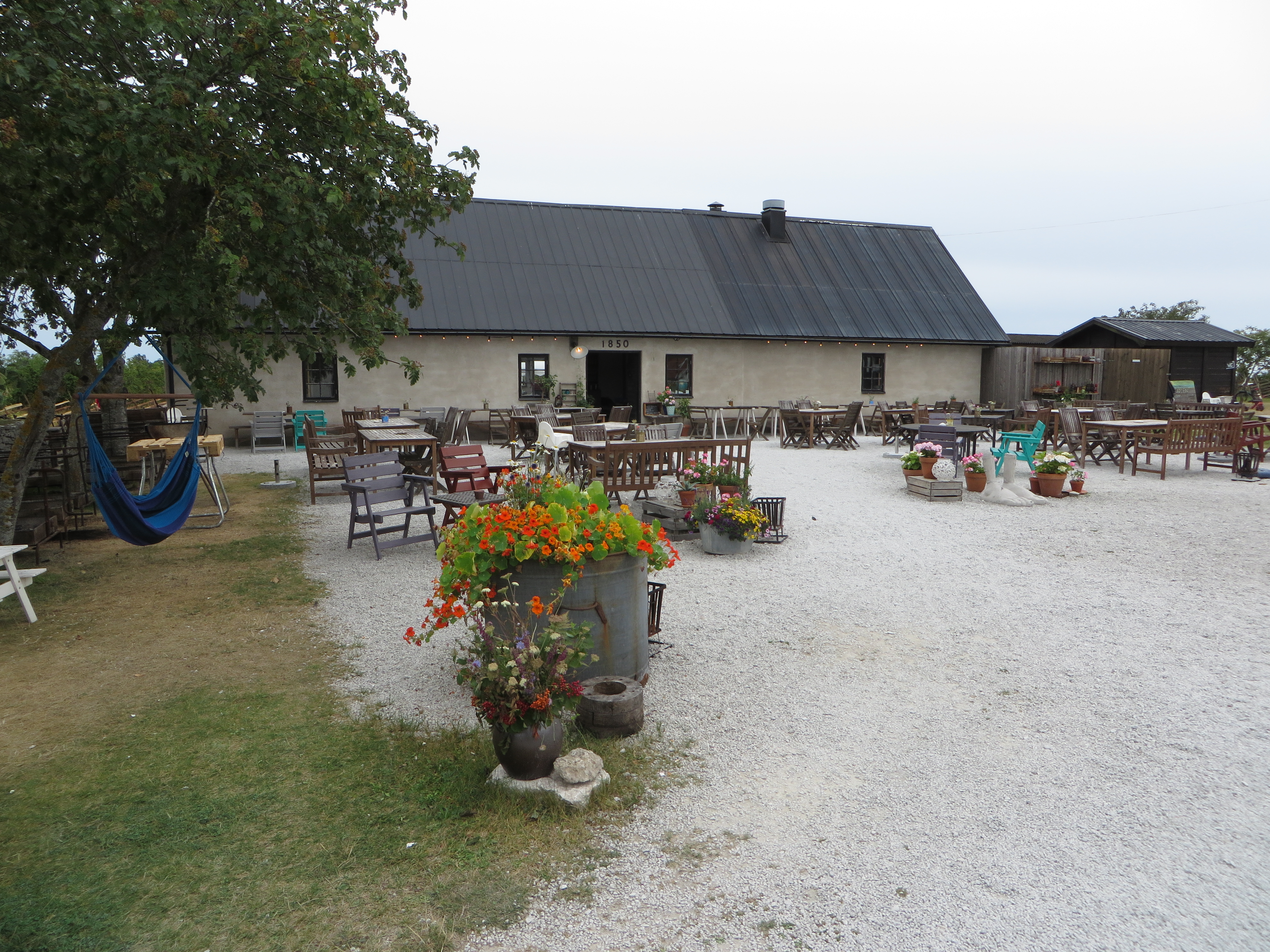
Fårögården Restaurant

A room with a view.
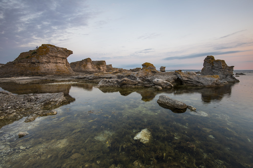
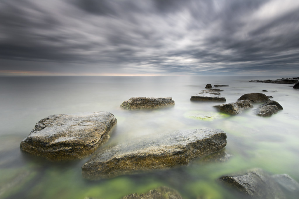
#rocks #amazing #sea #view #sky #sunny #clouds #nature #painting #algae #water #natural #fårö #gotland #baltic #sweden

Three little houses.
Bird View
Älvdans II
Rocky Shores
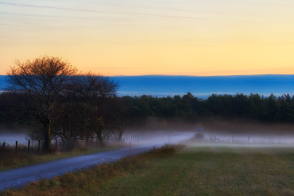
Fleringe from Grodda
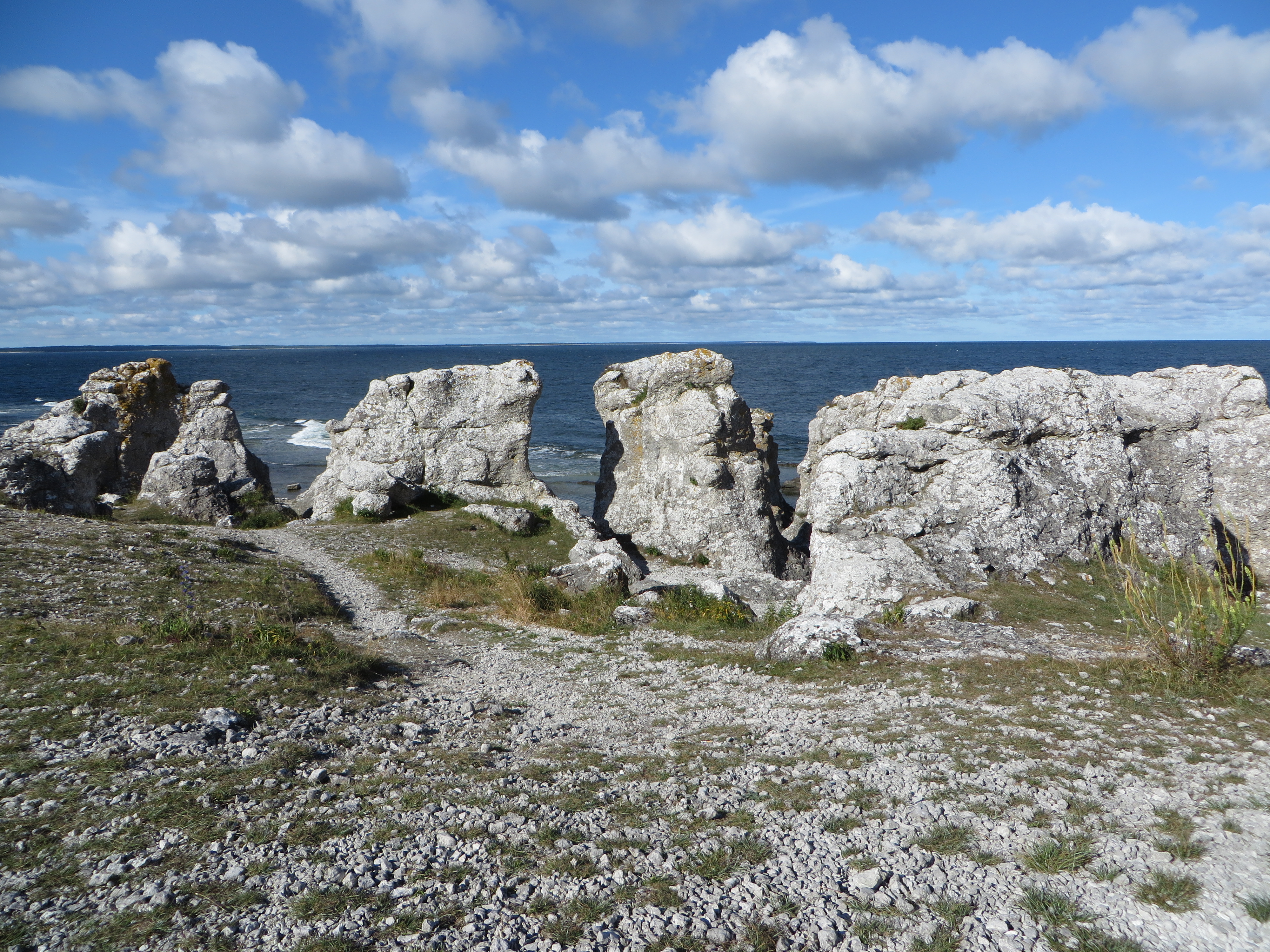
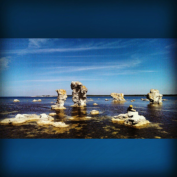
Digerhuvud rock stacks

Digerhuvud raukar
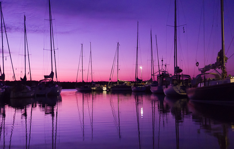
Night at fish harbour
Clear water - Gamle hamn
Ryssnäs

Digerhuvud - daytime
Bright rocks
Gamle hamn in mono
Rocks of Ryssudden
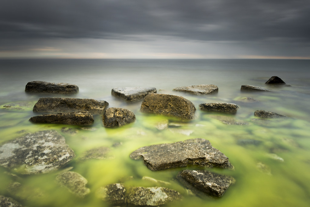
Lime slime

Helgumannens fiskeläge

Digerhuvud - midday

Rauk pool

Jetty - squared

Remains of a pier
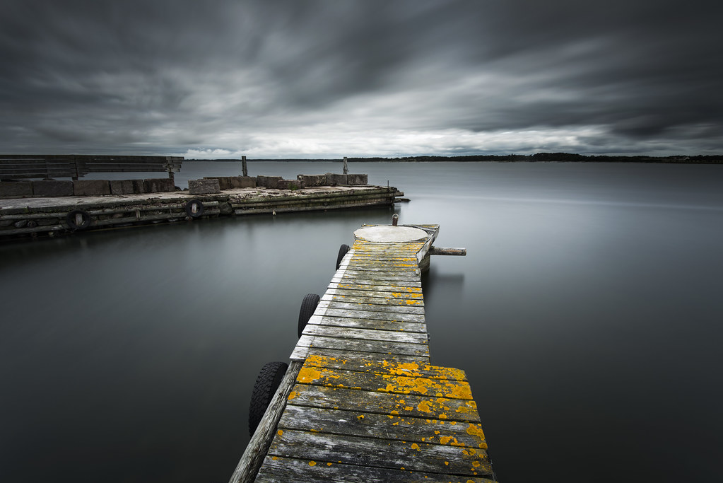
Jetty - Fårö

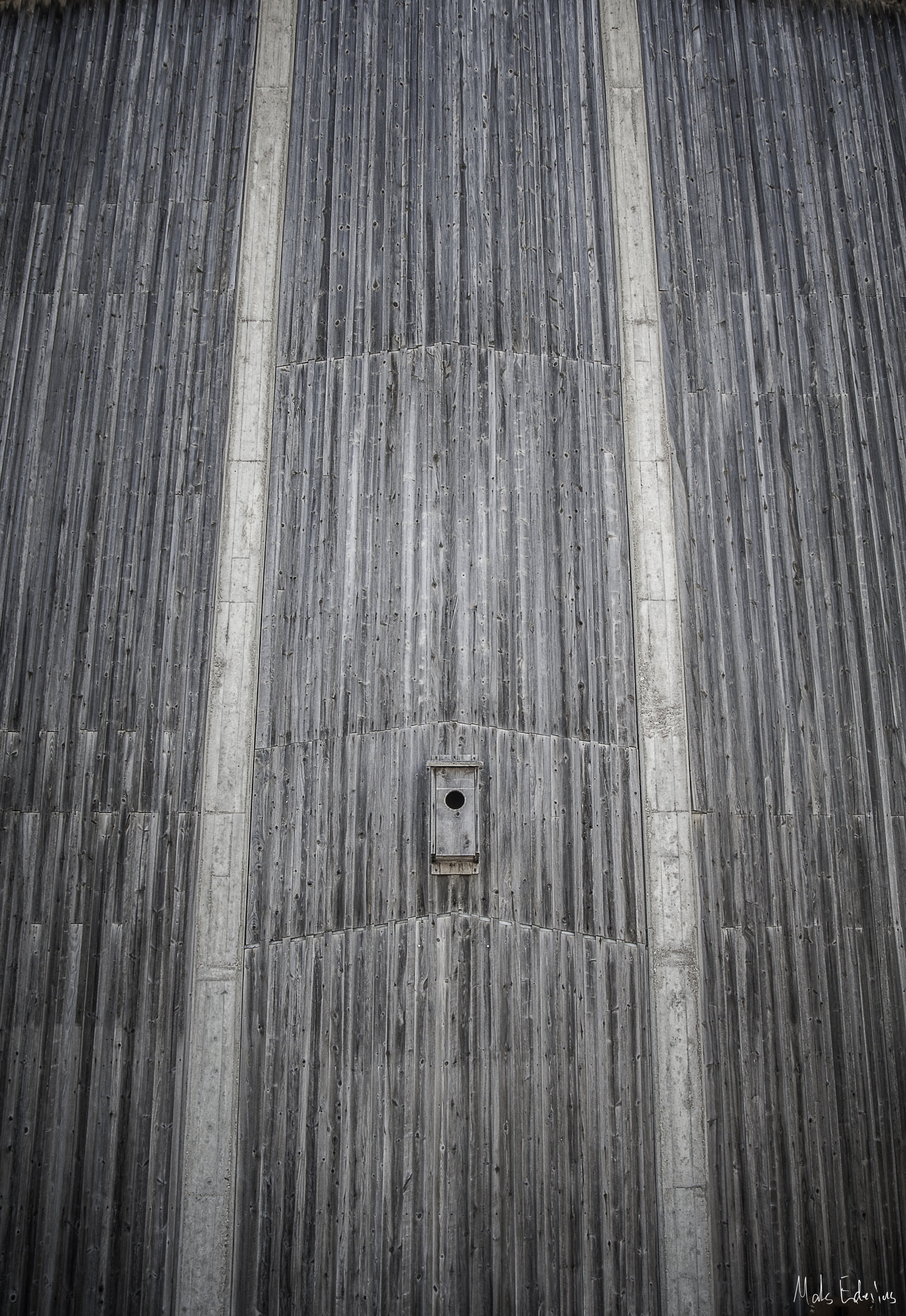
Stone wall - Fårö

Rocks & concrete

Southern Fårö
Digerhuvud - Fårö
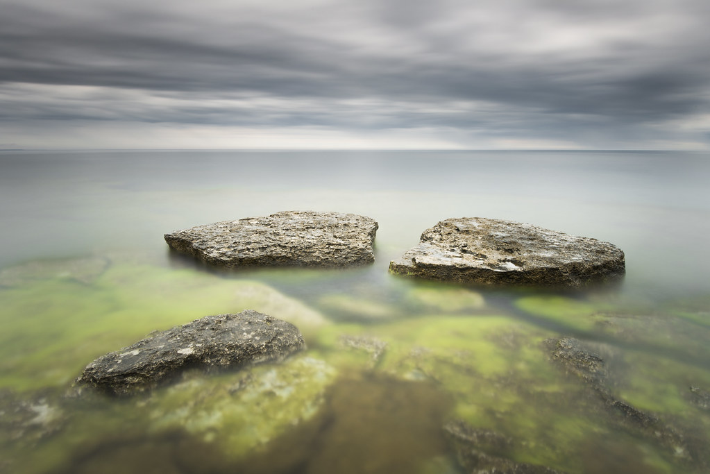
3 rocks at Ryssudden

Shallow - Ryssnäs

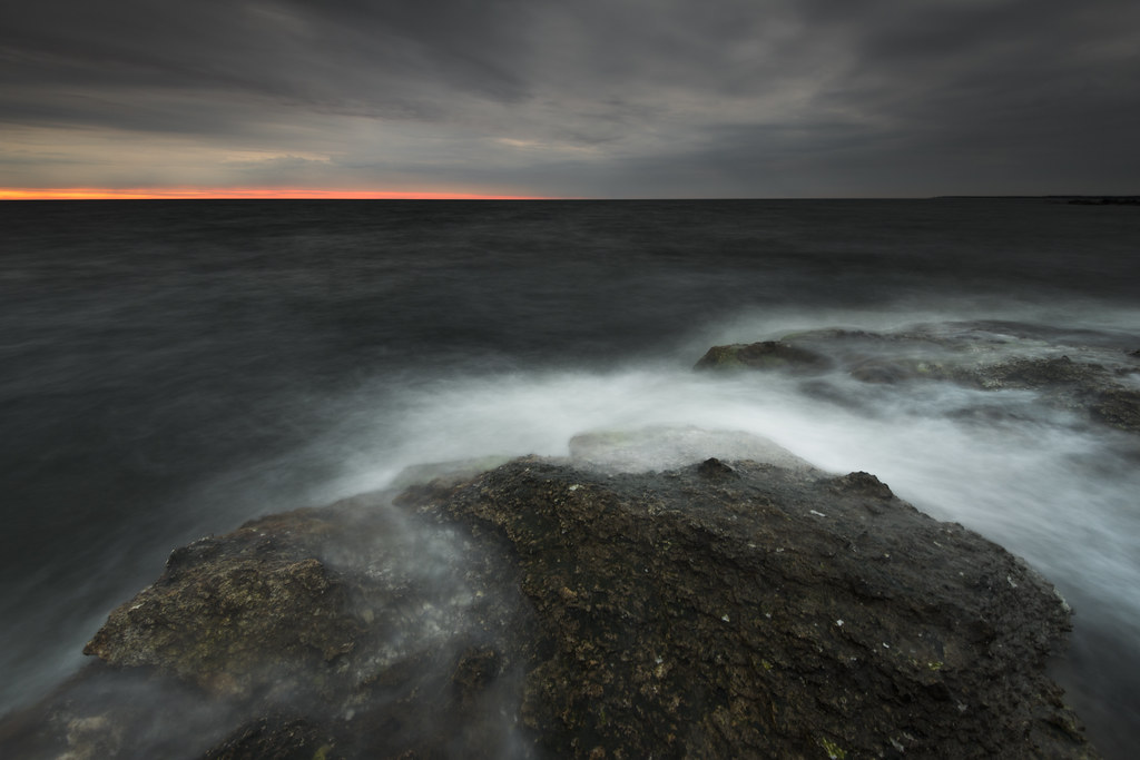
Gothic Sea
Topographic Map of BUNGE ANNEX, 64 Fårösund, Sweden
Find elevation by address:

Places near BUNGE ANNEX, 64 Fårösund, Sweden:
Recent Searches:
- Elevation of Kootenai Trail Rd, Bonners Ferry, ID, USA
- Elevation of Hickory Blvd, Bonita Springs, FL, USA
- Elevation of Lalagbene, Bayelsa, Nigeria
- Elevation of Ogbosuware Health Centre, 2WWJ+4PJ, Lalagbene, Bayelsa, Nigeria
- Elevation of Duckhorn Ct, Las Vegas, NV, USA
- Elevation of Garretts Run Rd, Ford City, PA, USA
- Elevation of N WI-55, Freedom, WI, USA
- Elevation map of Hadiya, Ethiopia
- Elevation of Hosaina, Ethiopia
- Elevation of Verde Terrace, North Port, FL, USA