Elevation of Bullou, France
Location: France > Centre > Eure-et-loir >
Longitude: 1.250552
Latitude: 48.240308
Elevation: 163m / 535feet
Barometric Pressure: 99KPa
Elevation Map:
Satellite Map:
Related Photos:
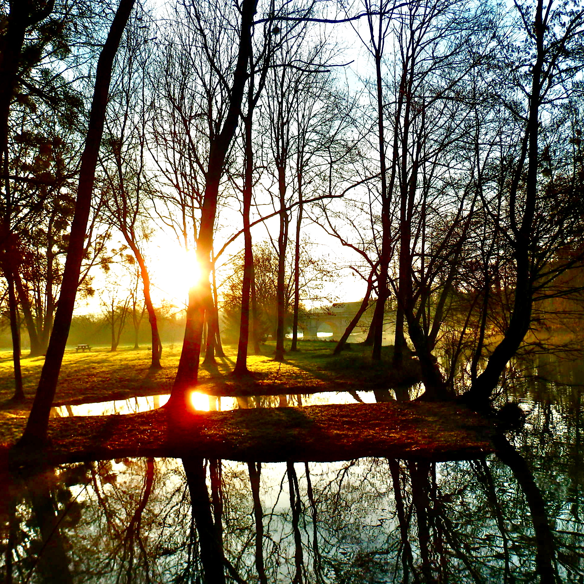
How do you rate the morning sun....after a long and sleepless night?
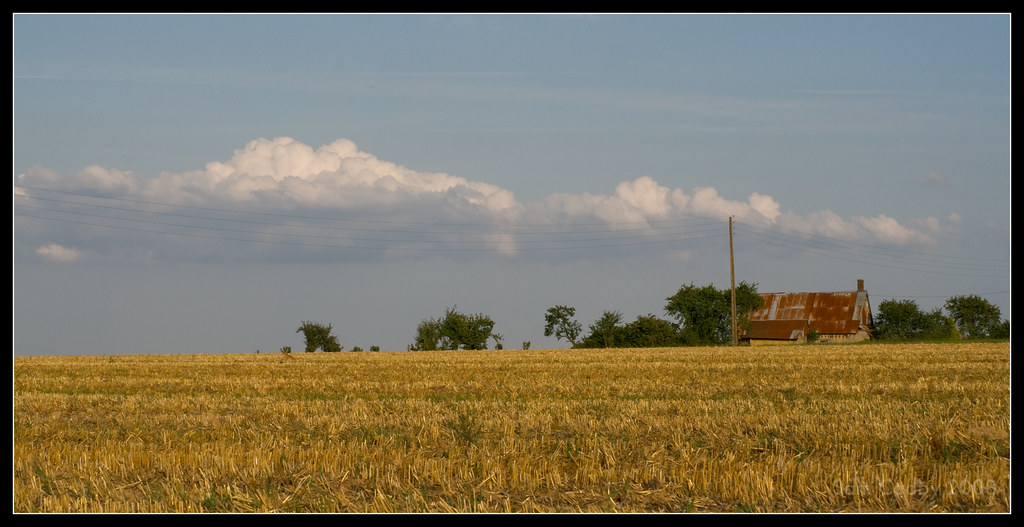
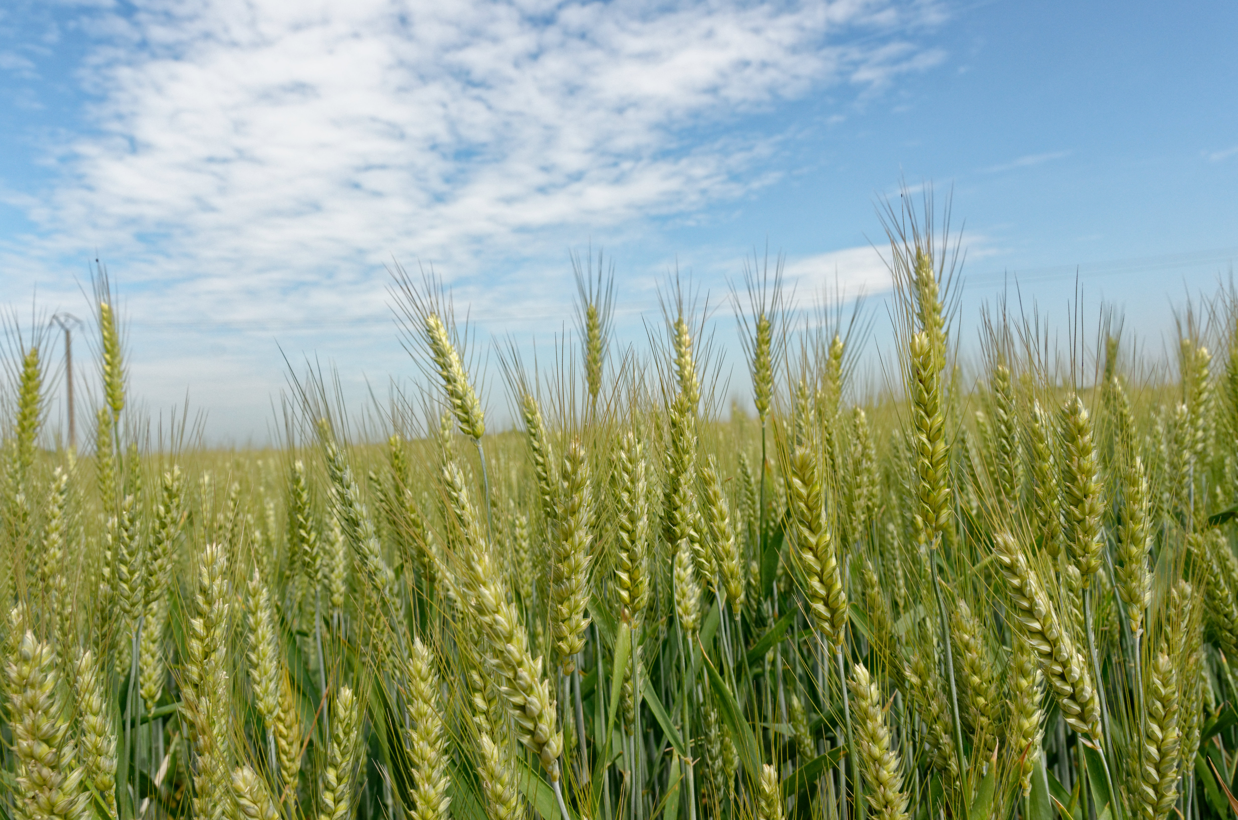
Wheat and farmhouse

iphone乱入

20150611-24234

-------------- Solitude en Beauce -----------------
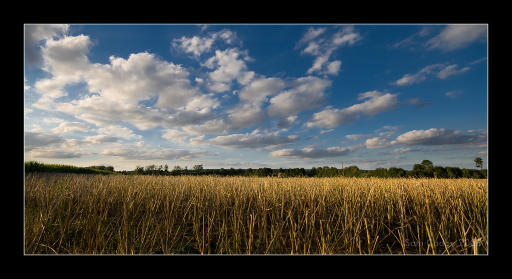
Harvested wheat and sky

Early morning light and water tower
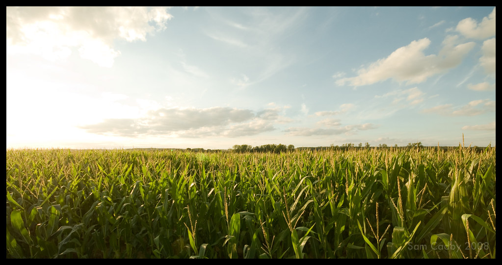
Sunset over corn
2013-08-01 16.28.24-1

Rural scene
Ciel de grain au printemps
Saint-Christophe (Eure-et-Loir)

Sunset over harvested wheat

Randonnée du Jour de l'an 2013 - Vers la Thironne, Nouvet (28)
Entre Beauce et Perche

20150611-24165

20150611-24225
Epis de blé
Bouville (Eure-et-Loir)
Bouville (Eure-et-Loir)
Topographic Map of Bullou, France
Find elevation by address:

Places in Bullou, France:
Places near Bullou, France:
7b
Dangeau
5 La Souris, Dangeau, France
5 Le Soussy, Dangeau, France
Magny
13 Rue de la Beauce au Perche, Magny, France
18 Gr Grande Rue, Nonvilliers-Grandhoux, France
Nonvilliers-grandhoux
Unverre
4 Rue de la Pierre d'Aulmont, Ermenonville-la-Grande, France
Ermenonville-la-grande
Saint-germain-le-gaillard
4 Rue de la Charentonne, Saint-Germain-le-Gaillard, France
Nogent-sur-eure
3 Les Molands, Unverre, France
11 Rue du Château de Villebon, Chuisnes, France
12b
Chuisnes
28 Rue Noël Ballay, Fontenay-sur-Eure, France
Champrond-en-gâtine
Recent Searches:
- Elevation of Woodland Oak Pl, Thousand Oaks, CA, USA
- Elevation of Brownsdale Rd, Renfrew, PA, USA
- Elevation of Corcoran Ln, Suffolk, VA, USA
- Elevation of Mamala II, Sariaya, Quezon, Philippines
- Elevation of Sarangdanda, Nepal
- Elevation of 7 Waterfall Way, Tomball, TX, USA
- Elevation of SW 57th Ave, Portland, OR, USA
- Elevation of Crocker Dr, Vacaville, CA, USA
- Elevation of Pu Ngaol Community Meeting Hall, HWHM+3X7, Krong Saen Monourom, Cambodia
- Elevation of Royal Ontario Museum, Queens Park, Toronto, ON M5S 2C6, Canada