Elevation of Bull Point Dr, Seabrook, SC, USA
Location: United States > South Carolina > Beaufort County > Seabrook >
Longitude: -80.765366
Latitude: 32.586275
Elevation: 6m / 20feet
Barometric Pressure: 101KPa
Elevation Map:
Satellite Map:
Related Photos:

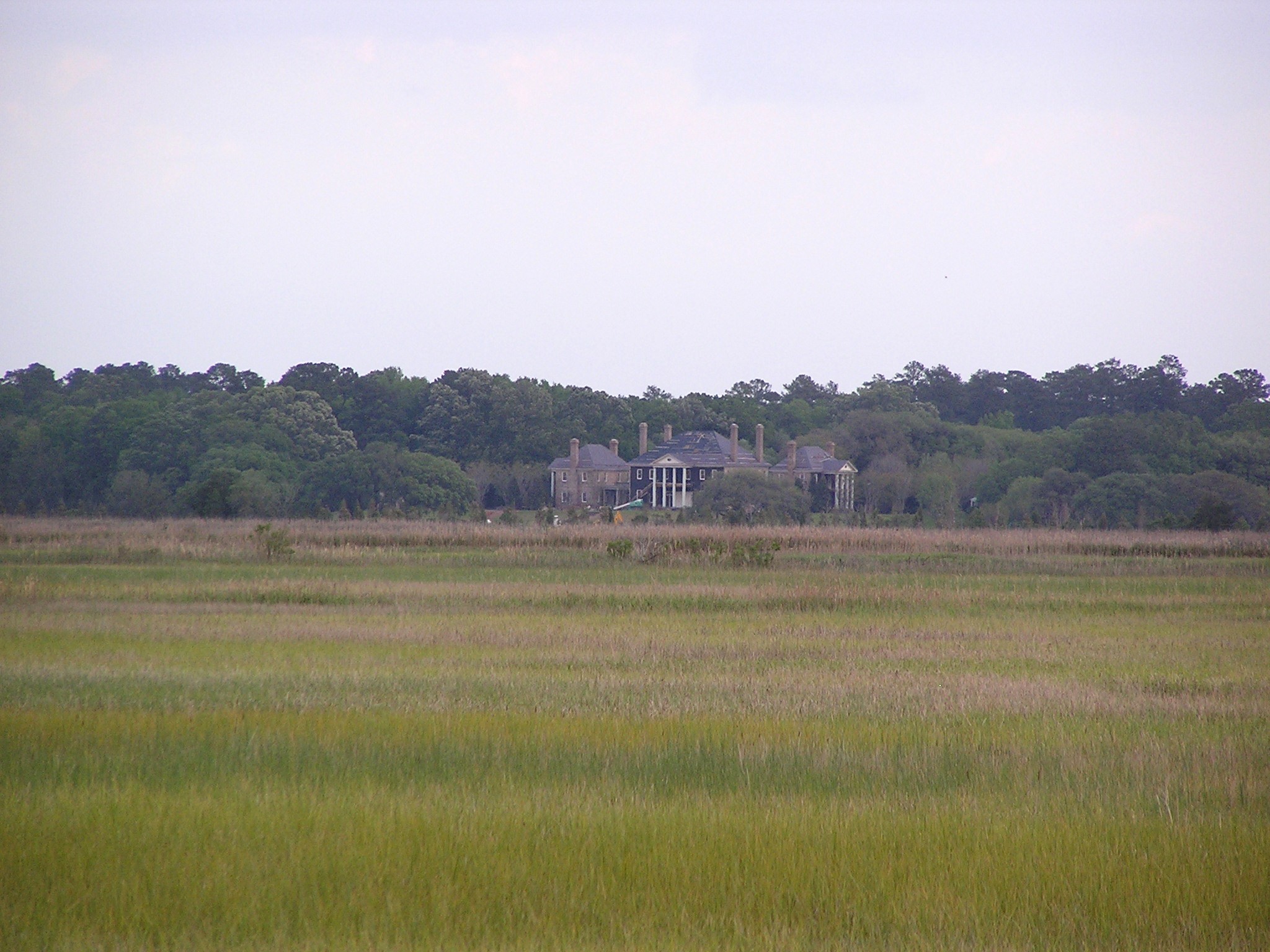
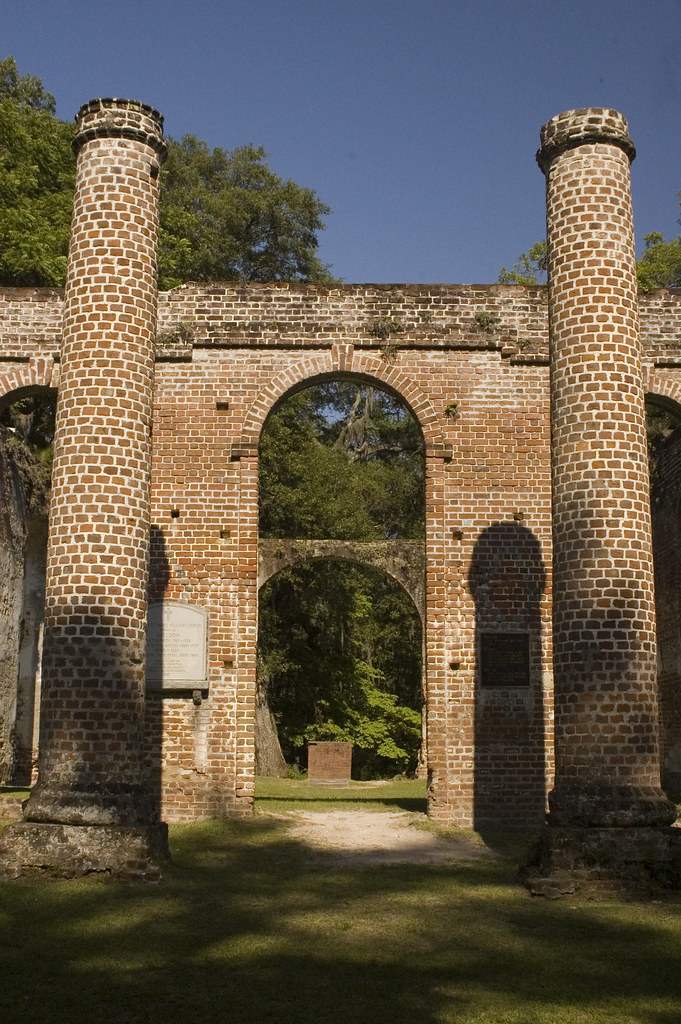
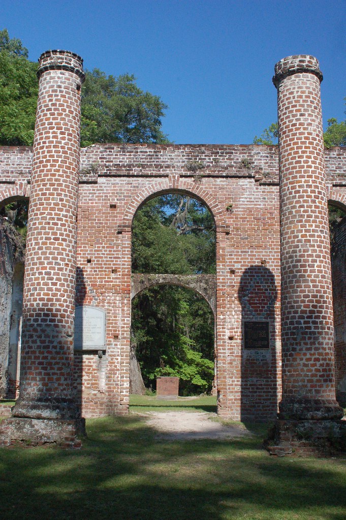
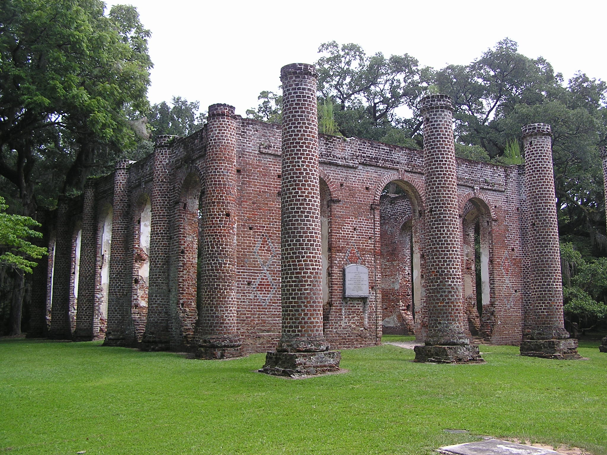
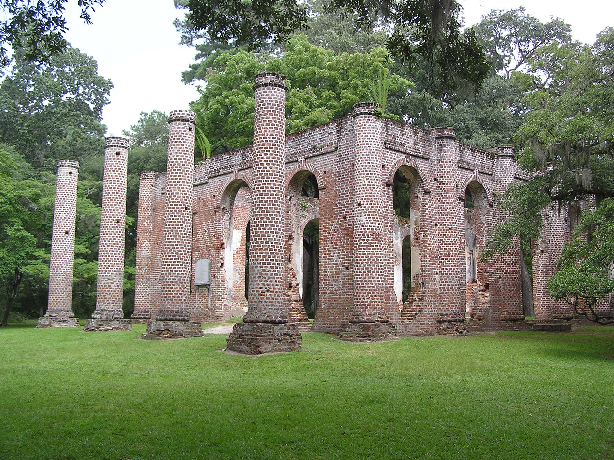
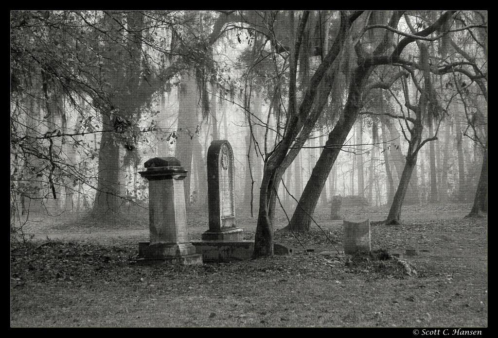
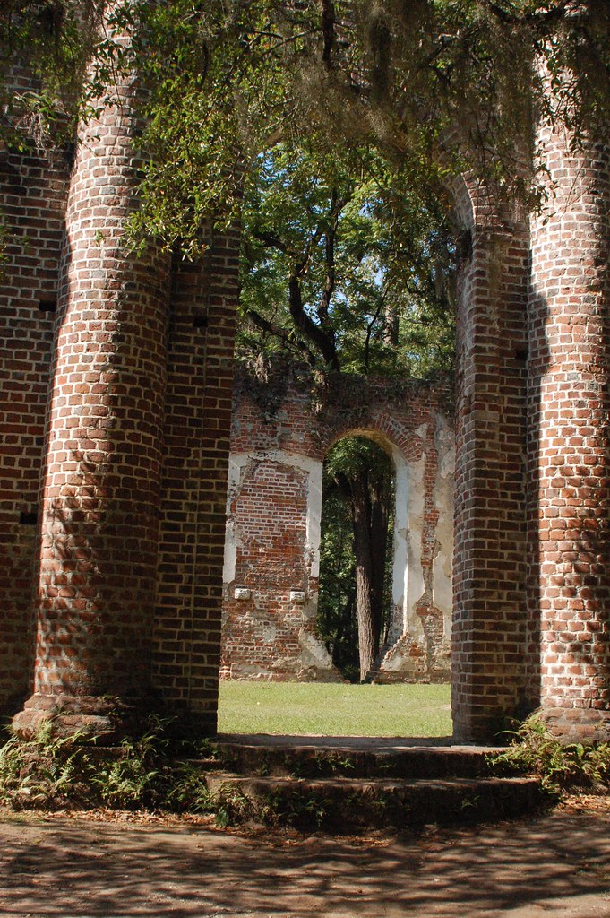
Church of Prince Williams Parish Known As Sheldon

Old Sheldon Church Ruins
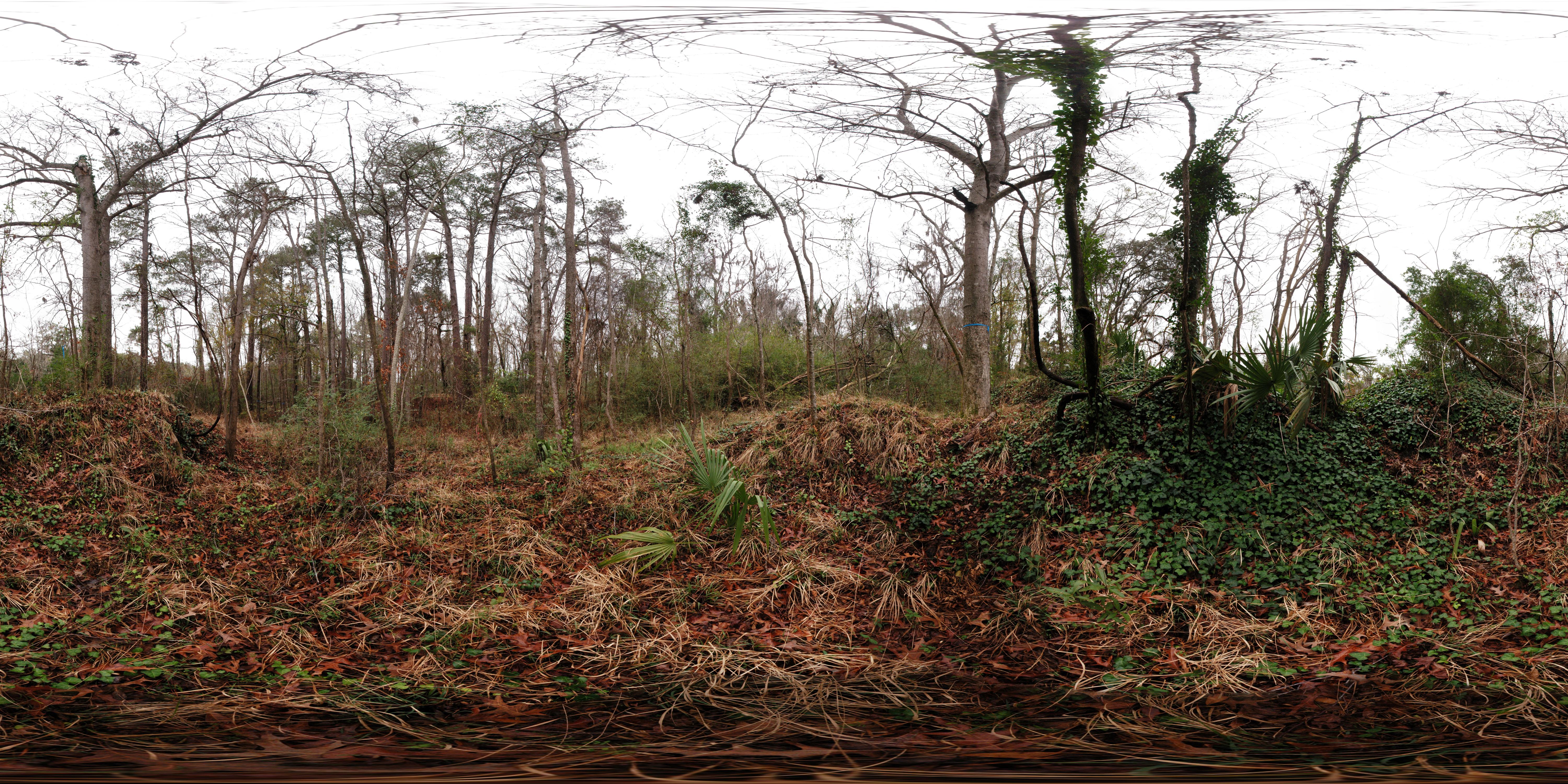
Stoney Creek Battery Heritage Preserve (360° x 180° Panorama)
Colleton County, Combahee River basin
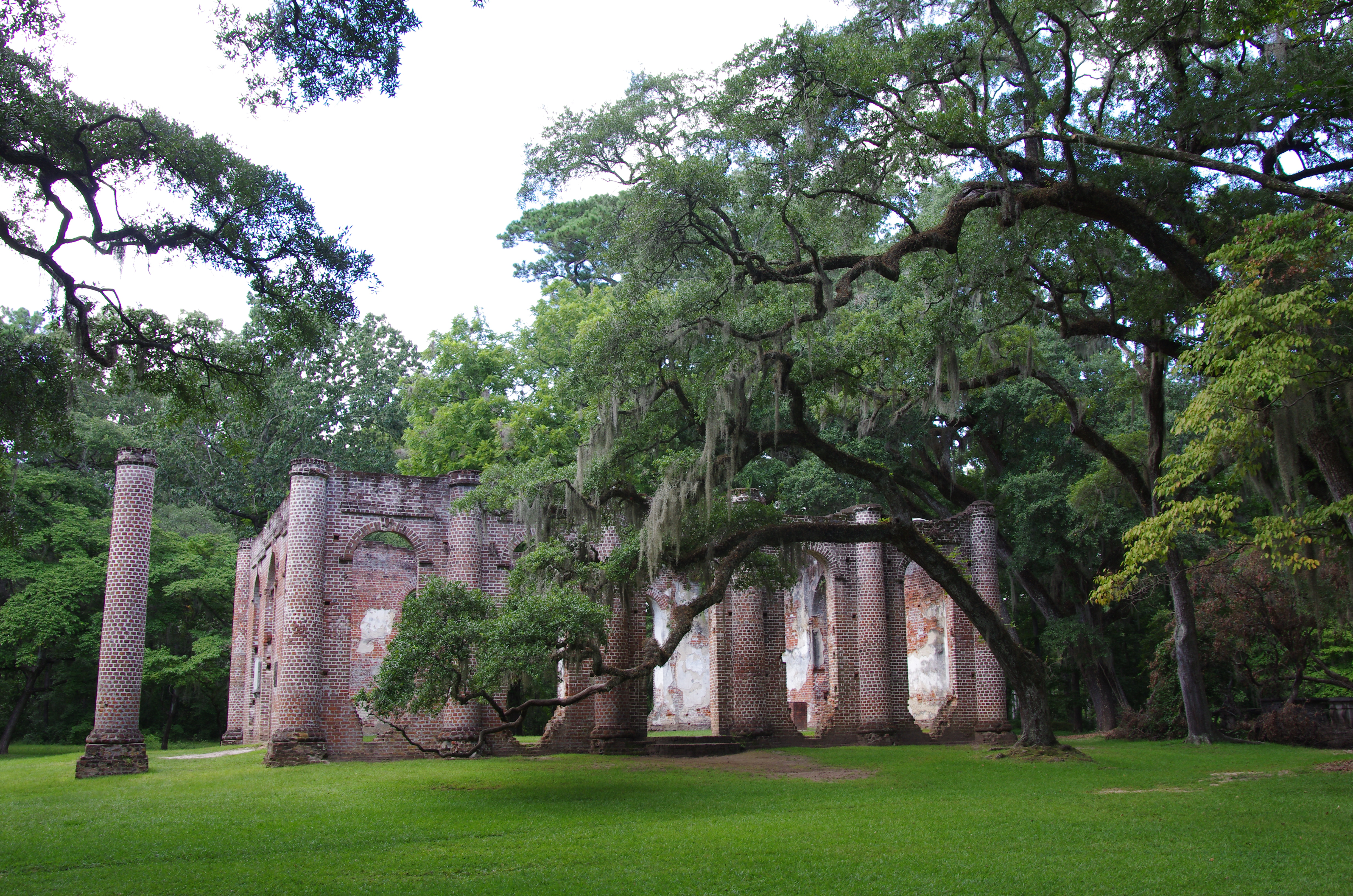
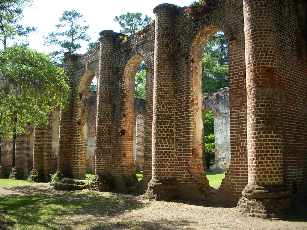
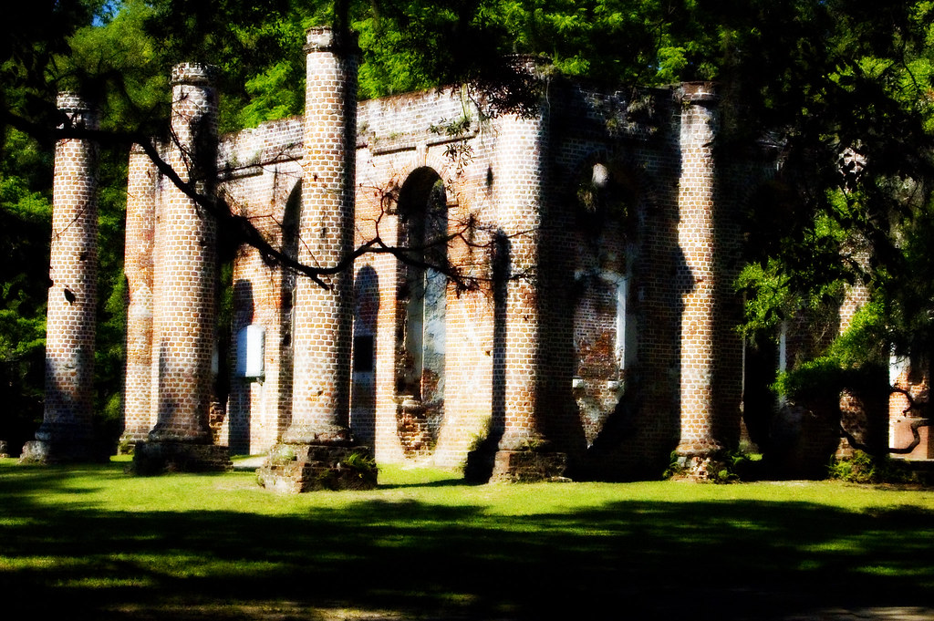
Old Sheldon Church: Side View (1750's & 1820's)
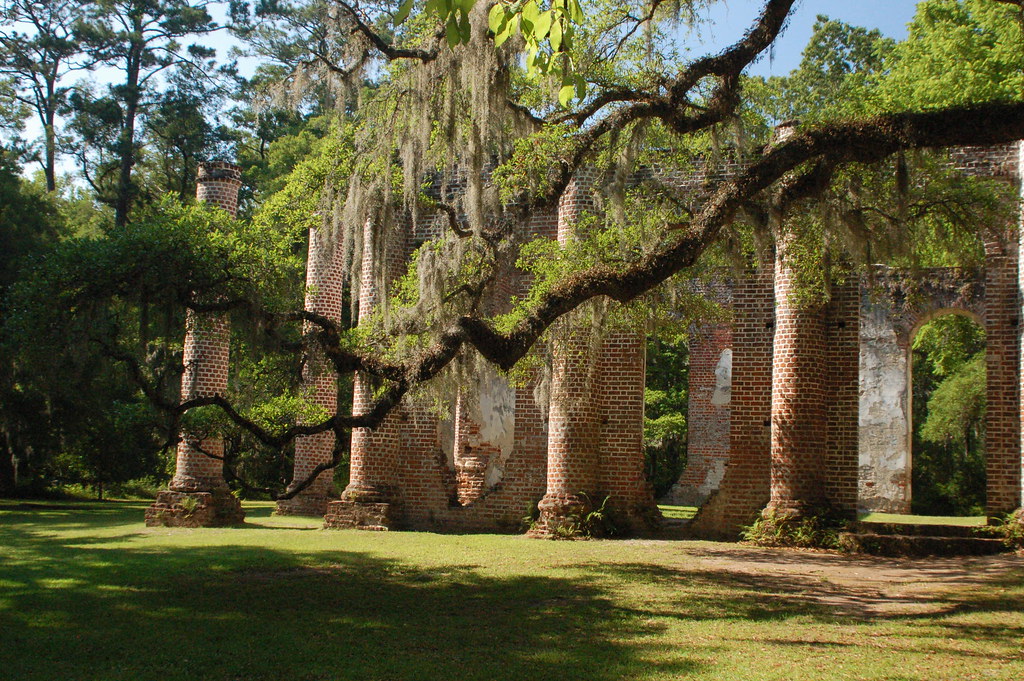
Sheldon Church Ruins
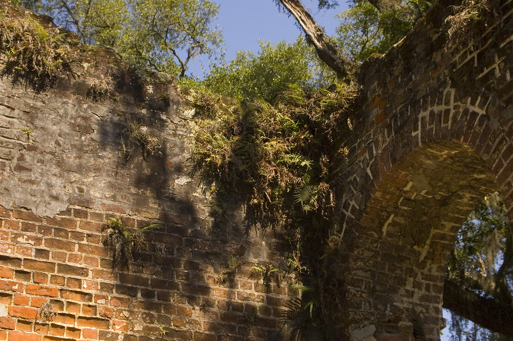
Sheldon Church 2
Sheldon Church Ruins
Beaufort, Sheldon Church ruins
Beaufort, Sheldon Church ruins

Down Coosaw Lane - Explored
Old Sheldon Church - A View from Above
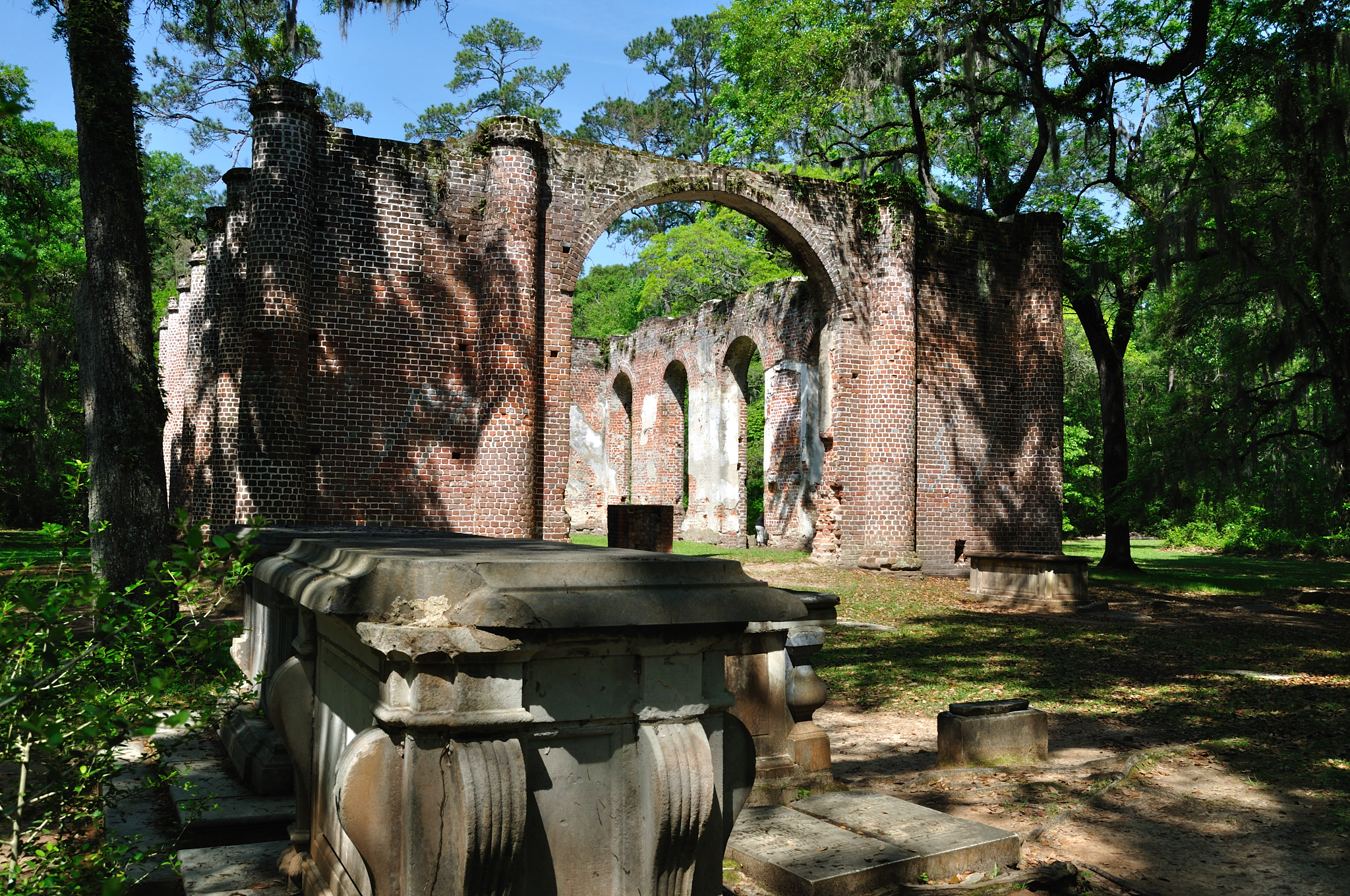
Tomb View
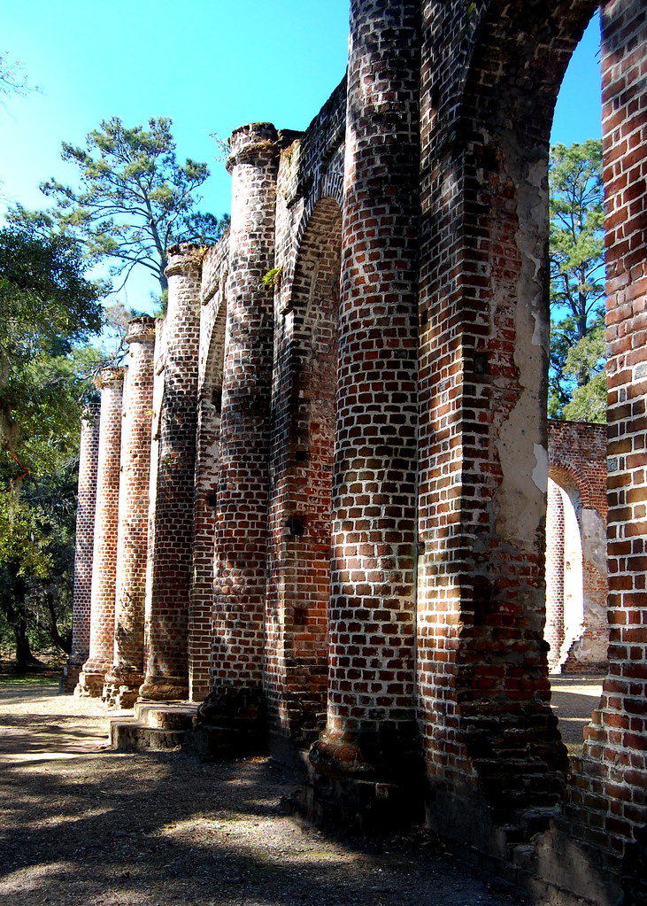
Side View

Side View of Church Ruins
Sheldon Church Ruins
Sheldon Church Ruins
Sheldon Church 1 orten
Sheldon Church 3

View from the Back

Colleton County, Combahee River basin
Topographic Map of Bull Point Dr, Seabrook, SC, USA
Find elevation by address:

Places near Bull Point Dr, Seabrook, SC, USA:
115 Bull Point Dr
84 Tomotley Barony Dr
124 Bull Point Dr
101 Bull Point Dr
130 Bull Point Dr
244 Bull Point Dr
242 Bull Point Dr
51 Island Way
1001 Bull Point Dr
21 Huspa Plantation Rd
70 Jasmine Hall Rd
64 Jasmine Hall Rd
58 Jasmine Hall Rd
56 Jasmine Hall Rd
68 Huspah Dr
661 Paige Point Rd
970 Old Sheldon Church Rd
Pap Kee Lane
12 Paige Point Rd
955 Old Sheldon Church Rd
Recent Searches:
- Elevation of Estates Loop, Priest River, ID, USA
- Elevation of Woodland Oak Pl, Thousand Oaks, CA, USA
- Elevation of Brownsdale Rd, Renfrew, PA, USA
- Elevation of Corcoran Ln, Suffolk, VA, USA
- Elevation of Mamala II, Sariaya, Quezon, Philippines
- Elevation of Sarangdanda, Nepal
- Elevation of 7 Waterfall Way, Tomball, TX, USA
- Elevation of SW 57th Ave, Portland, OR, USA
- Elevation of Crocker Dr, Vacaville, CA, USA
- Elevation of Pu Ngaol Community Meeting Hall, HWHM+3X7, Krong Saen Monourom, Cambodia