Elevation of Buin, Región Metropolitana, Chile
Location: Chile > Santiago Metropolitan Region > Maipo Province >
Longitude: -70.742321
Latitude: -33.730937
Elevation: 485m / 1591feet
Barometric Pressure: 96KPa
Elevation Map:
Satellite Map:
Related Photos:
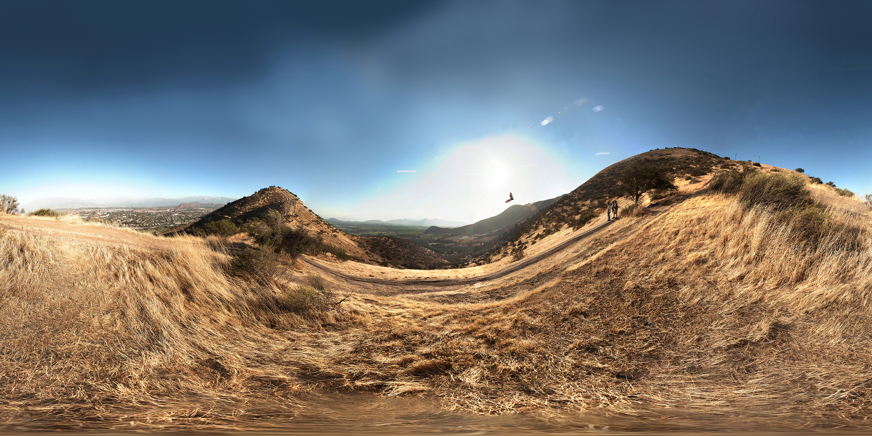
google-photosphere-aeromodelismo-cerro-chena-carlota-fernandez
Casa Lucarnas (en construcción)
Puente Blanco / Río Clarillo - White Bridge / Clarillo River

Lindo el lugar
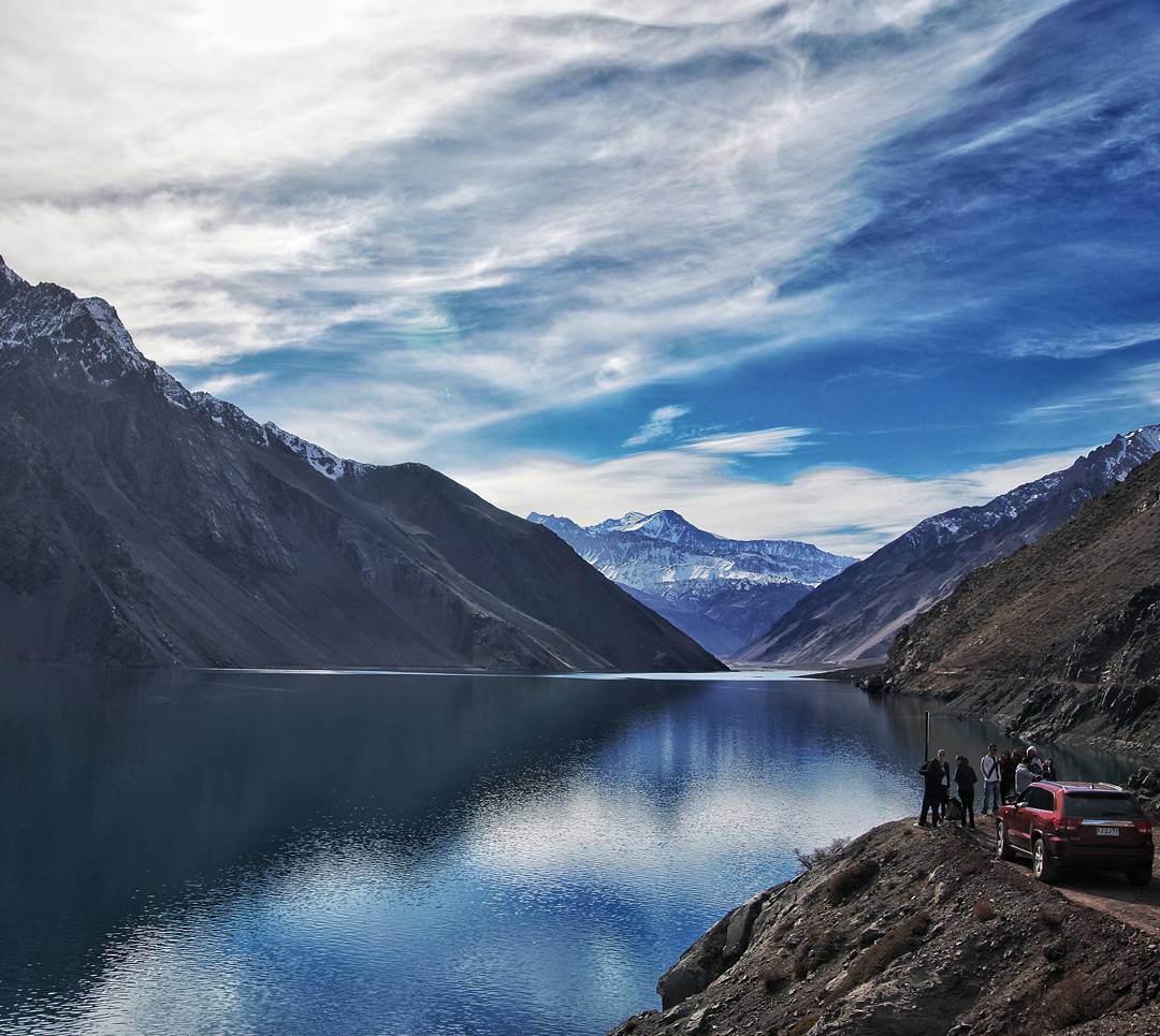
Embalse El Yeso, Chile. #bestoftheday #picoftheday #world_union #chiquesnourtemo #greatest_shots #igers #ig_worldclub #revolverphotography #beautifuldestinations #bestvacations #igersdizquefuiporai #photowall #worlderlust #master_shots #citybestpics #ci
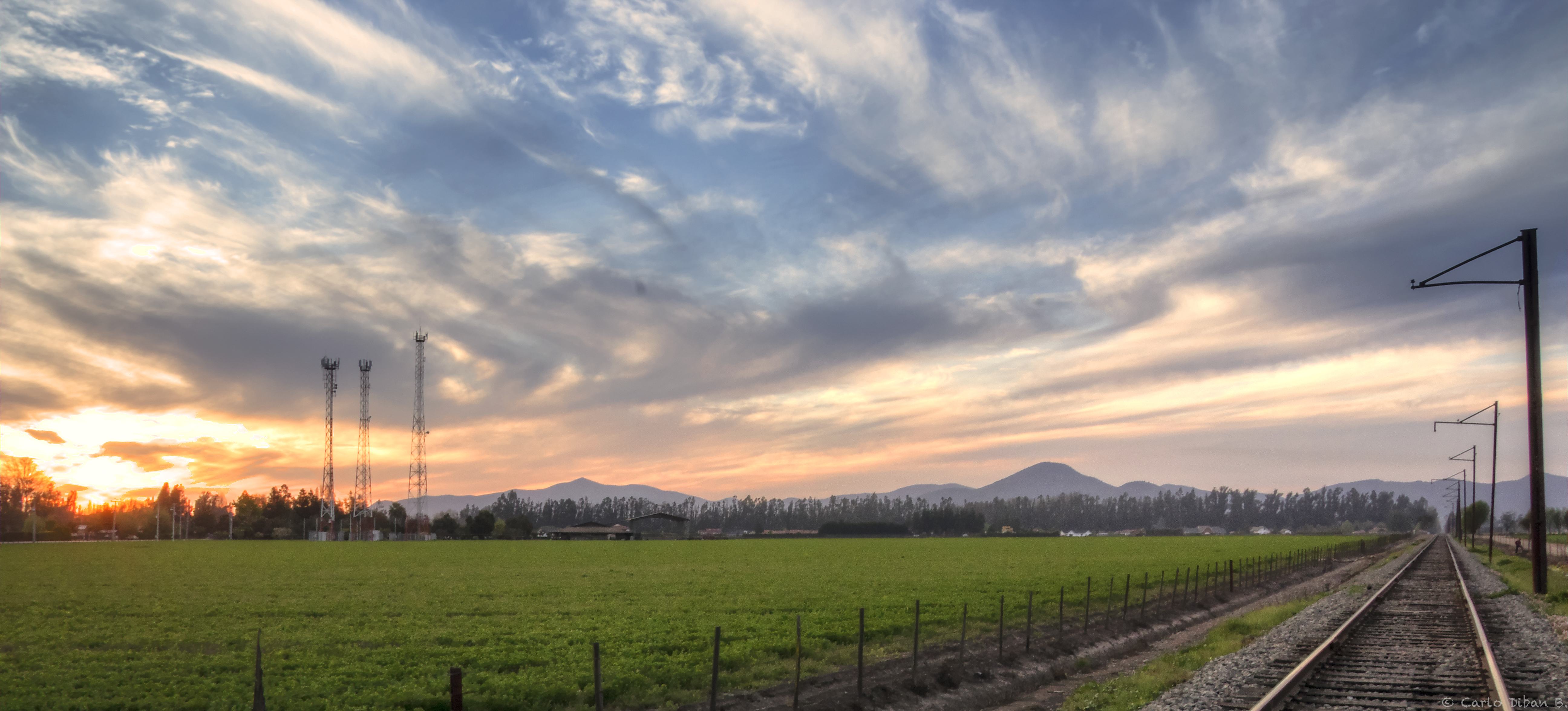
train in the farm...

Hacia dónde?

Fotos varias !!
Días como hoy (nublados y fríos) extraño los días como estos...
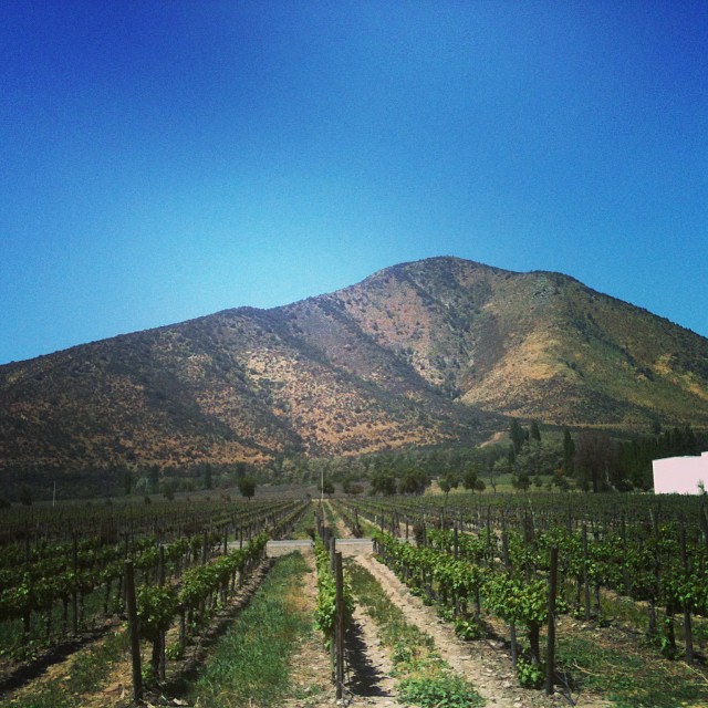
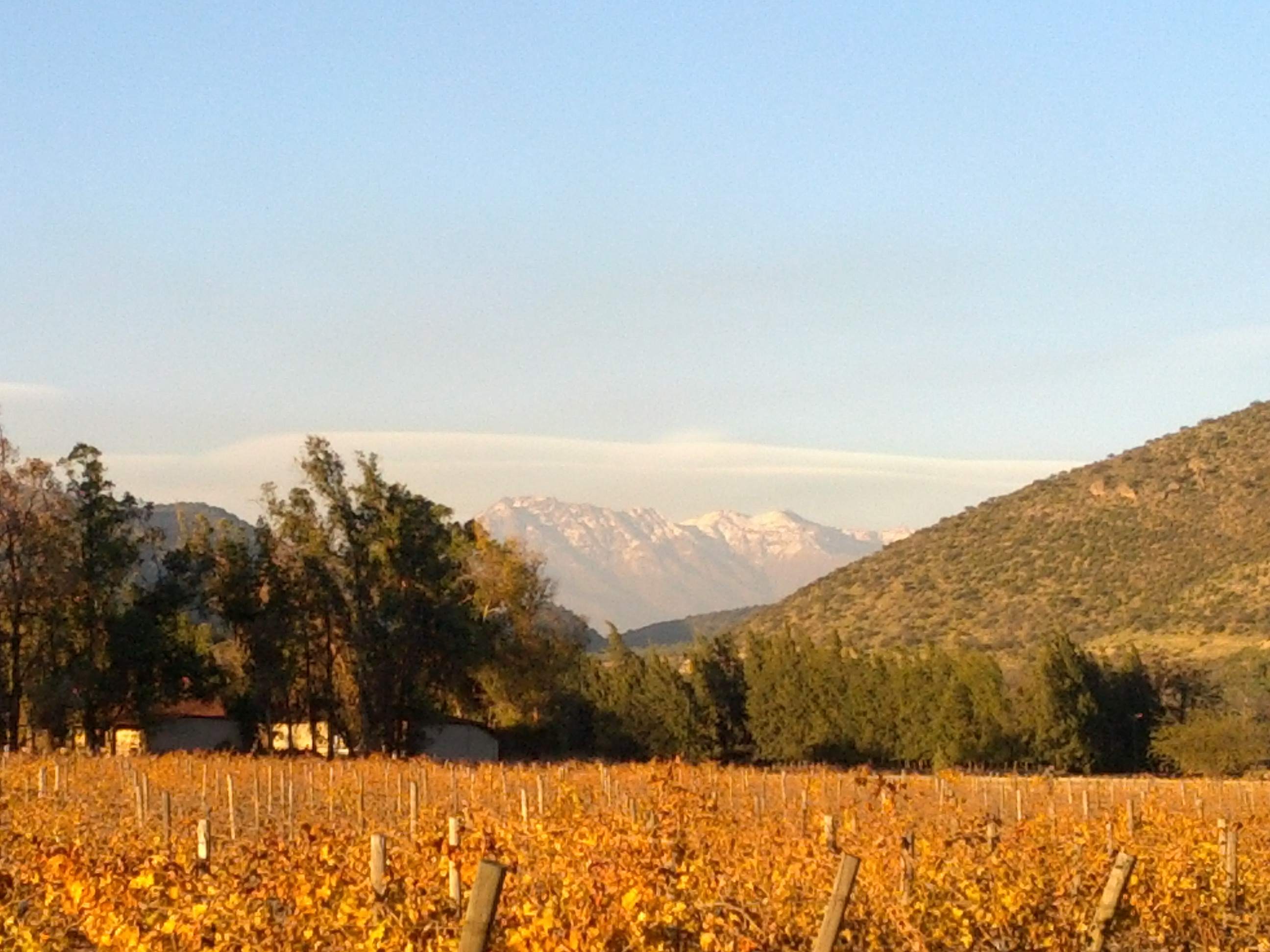
Viña Santa Rita
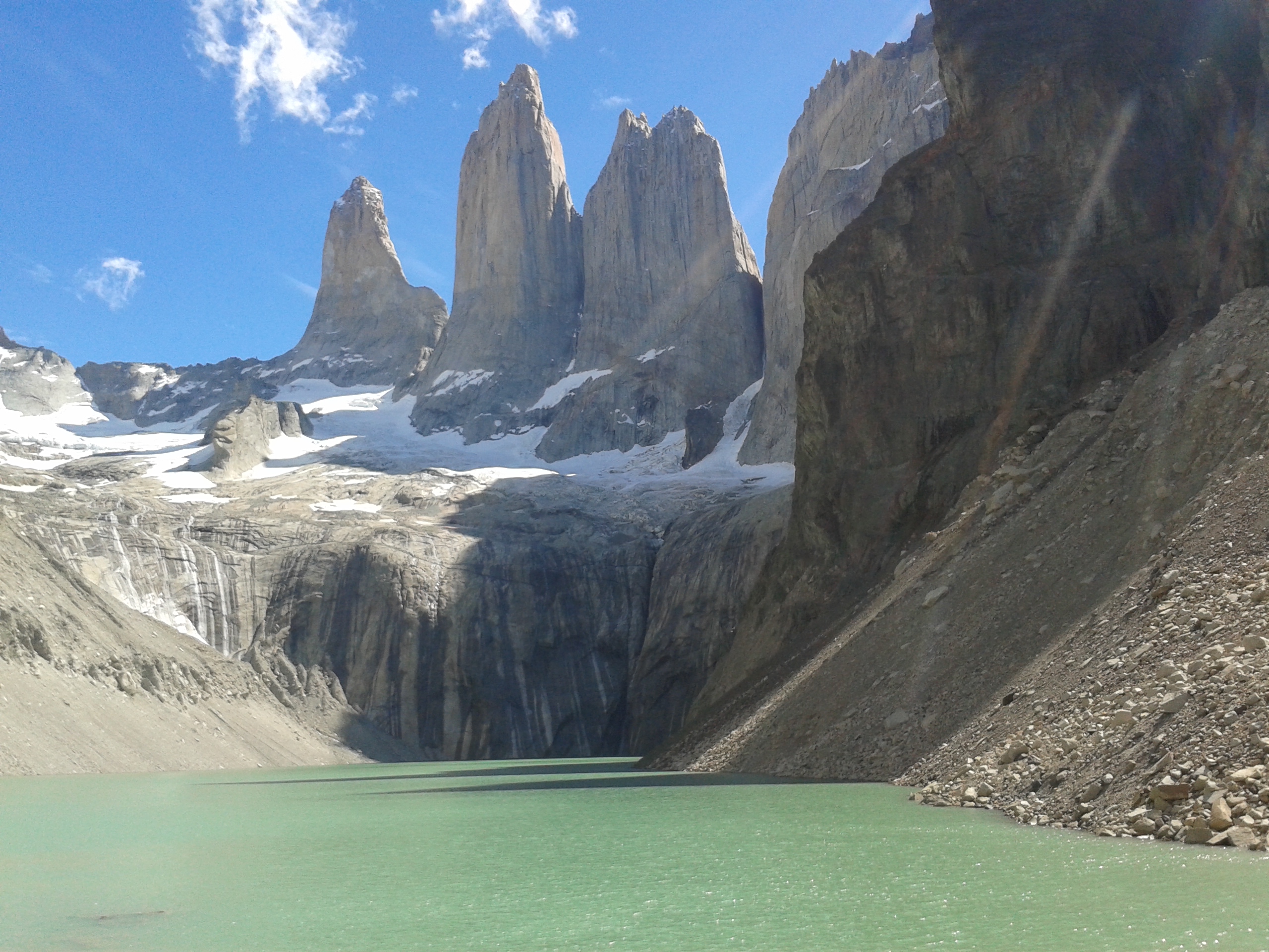
Torres de paine.
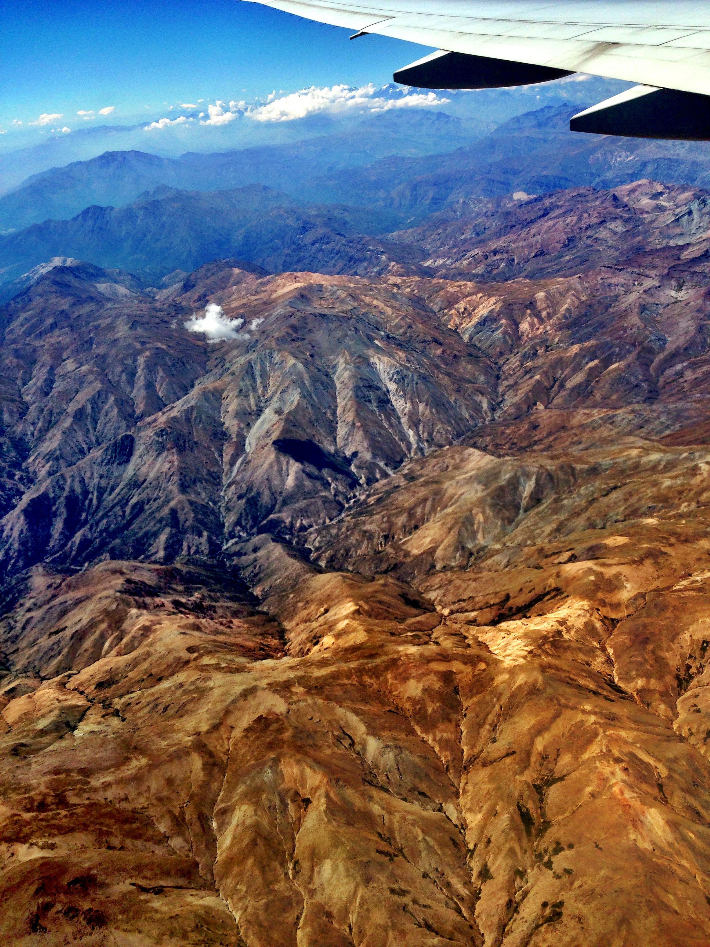
Andes - Santiago
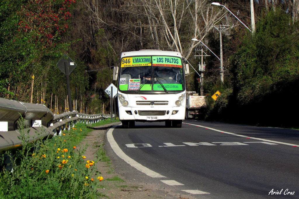
Línea 946 en sector Puente Blanco | Caio Foz / CHTH46
el cielo ta shueco
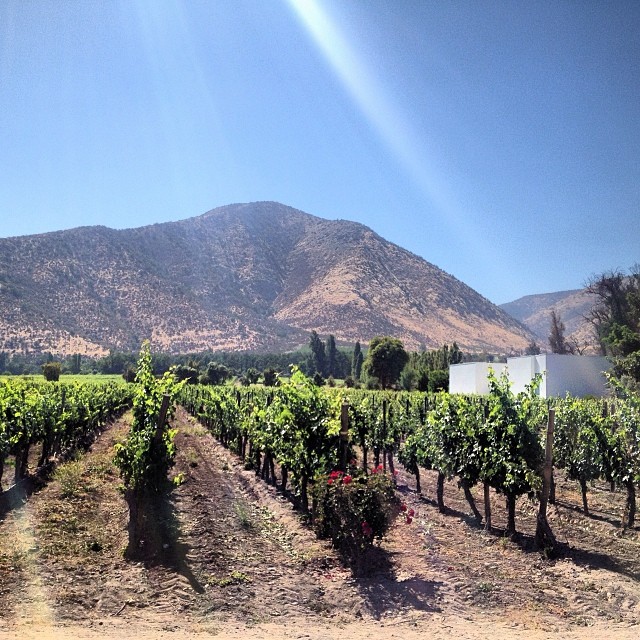
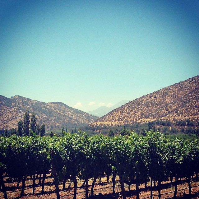
Viña Santa Rita #weather #instaweather #instaweatherpro #sky #outdoors #nature #world #love #followme #follow #beautiful #instagood #fun #cool #like #life #nice #happy #colorful #photooftheday #amazing #buin #chile #day #spring #clear #cl
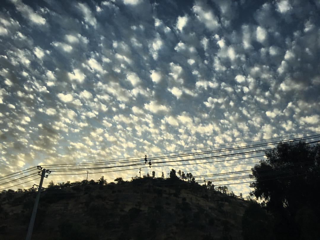
Nubes aborregadas #santiagocl #sanbernardocl #landscape #clouds #chile
2013-06-06 17.01.55

2014-10-26-11h34m44

Parque metropolitano sur
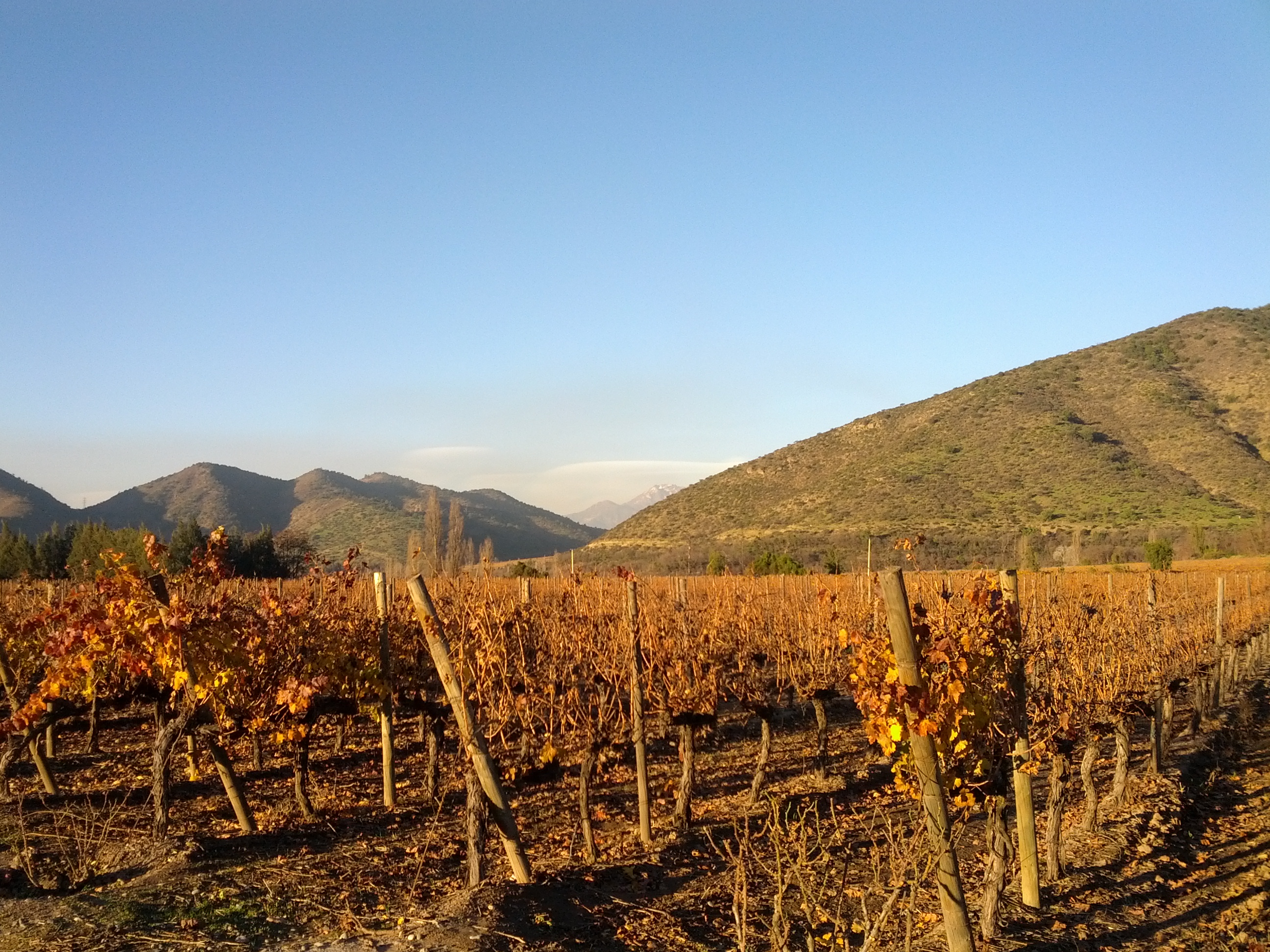
Viña Santa Rita

Cordillera desde Paine

2014-03-21 13.16.34 - Copy (2)

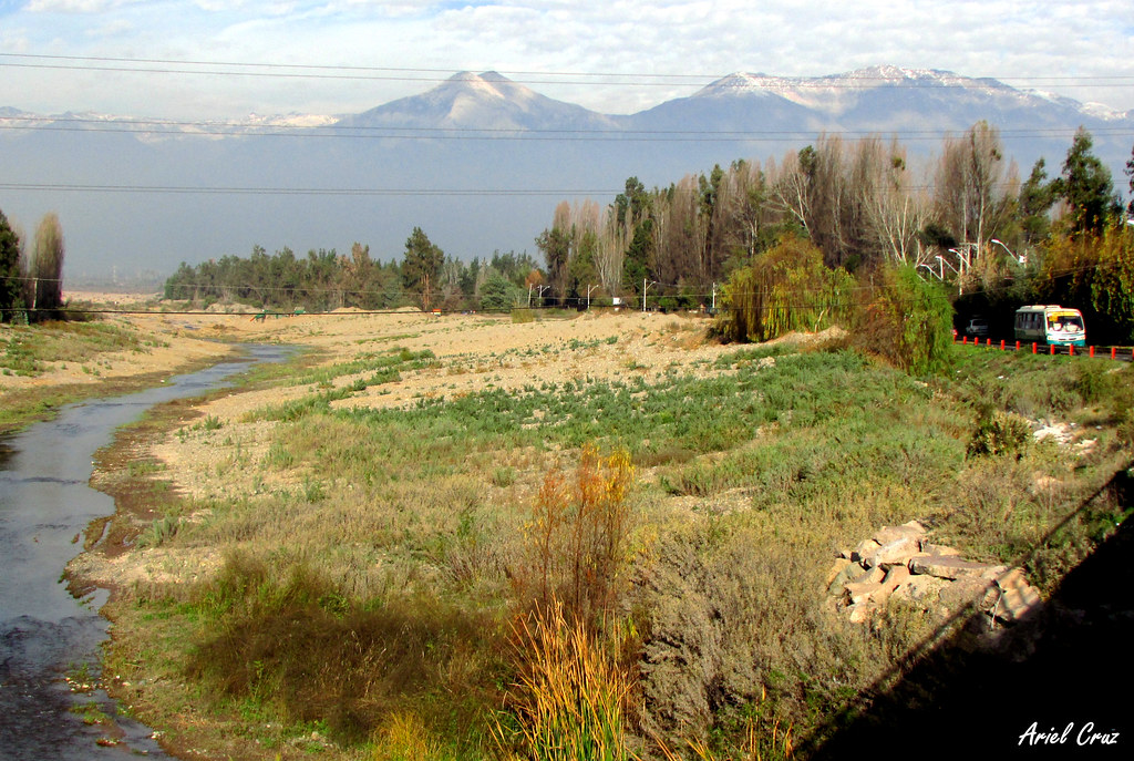
Atardecer en el Maipo #chile #santiagocl #clouds #sunset #landscape #river
Topographic Map of Buin, Región Metropolitana, Chile
Find elevation by address:

Places in Buin, Región Metropolitana, Chile:
Places near Buin, Región Metropolitana, Chile:
Maipo
San Bernardo
Sta. Rosa 14715
San Bernardo
Sta Rita 3551
La Pintana
Vinicola Almaviva
Cachapoal
Puente Alto
Puente Alto
Maipú
Matamoros, Lo Espejo, Región Metropolitana, Chile
Estadio San Gregorio
La Granja
La Granja
Parque Cousiño Macúl
Av. Diego Portales 1547
La Florida
La Florida
Estadio Colo Colo, Macul, Región Metropolitana, Chile
Recent Searches:
- Elevation of Bernina Dr, Lake Arrowhead, CA, USA
- Elevation of N 82nd Pl, Mesa, AZ, USA
- Elevation of Snake Hill Rd, North Scituate, RI, USA
- Elevation of Lake Shore Dr, Warwick, RI, USA
- Elevation of E Brightview Ave, Pittsburgh, PA, USA
- Elevation of Cavendish Rd, Harringay Ladder, London N4 1RR, UK
- Elevation of 1 Zion Park Blvd, Springdale, UT, USA
- Elevation of Ganderbal
- Elevation map of Konkan Division, Maharashtra, India
- Elevation of Netaji Nagar, Hallow Pul, Kurla, Mumbai, Maharashtra, India