Elevation of Bugu-ri, Buk-myeon, Uljin-gun, Gyeongsangbuk-do, South Korea
Location: South Korea > Gyeongsangbuk-do > Uljin-gun >
Longitude: 129.345148
Latitude: 37.1028876
Elevation: 100m / 328feet
Barometric Pressure: 100KPa
Elevation Map:
Satellite Map:
Related Photos:

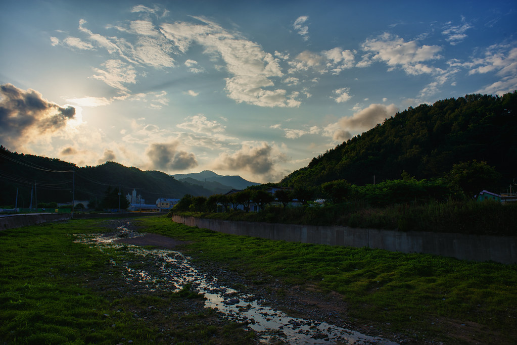
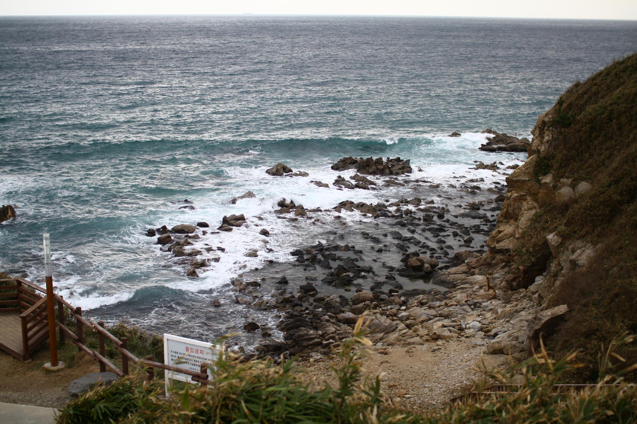
Phantom View
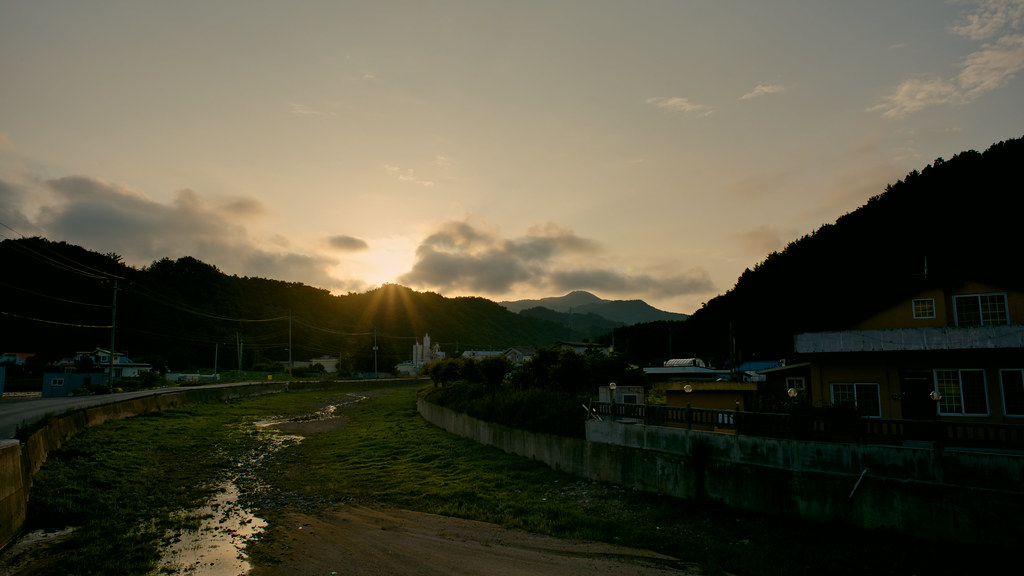
Uljin Sunset
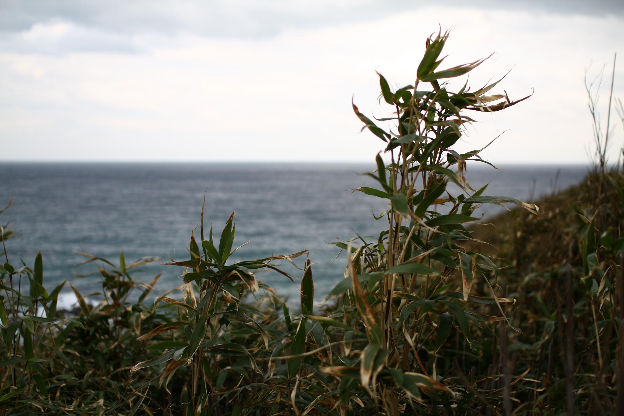
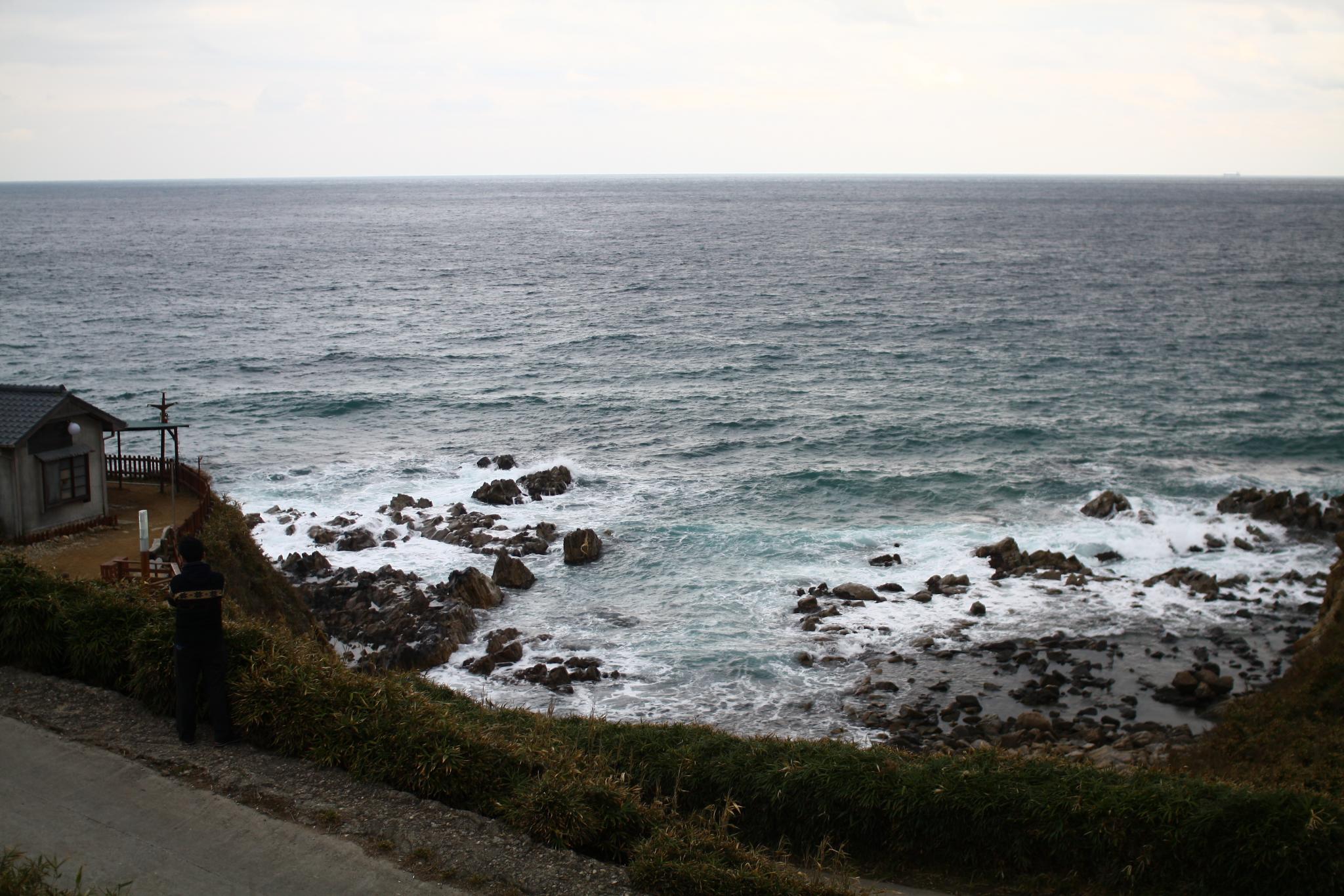
Uljin 1
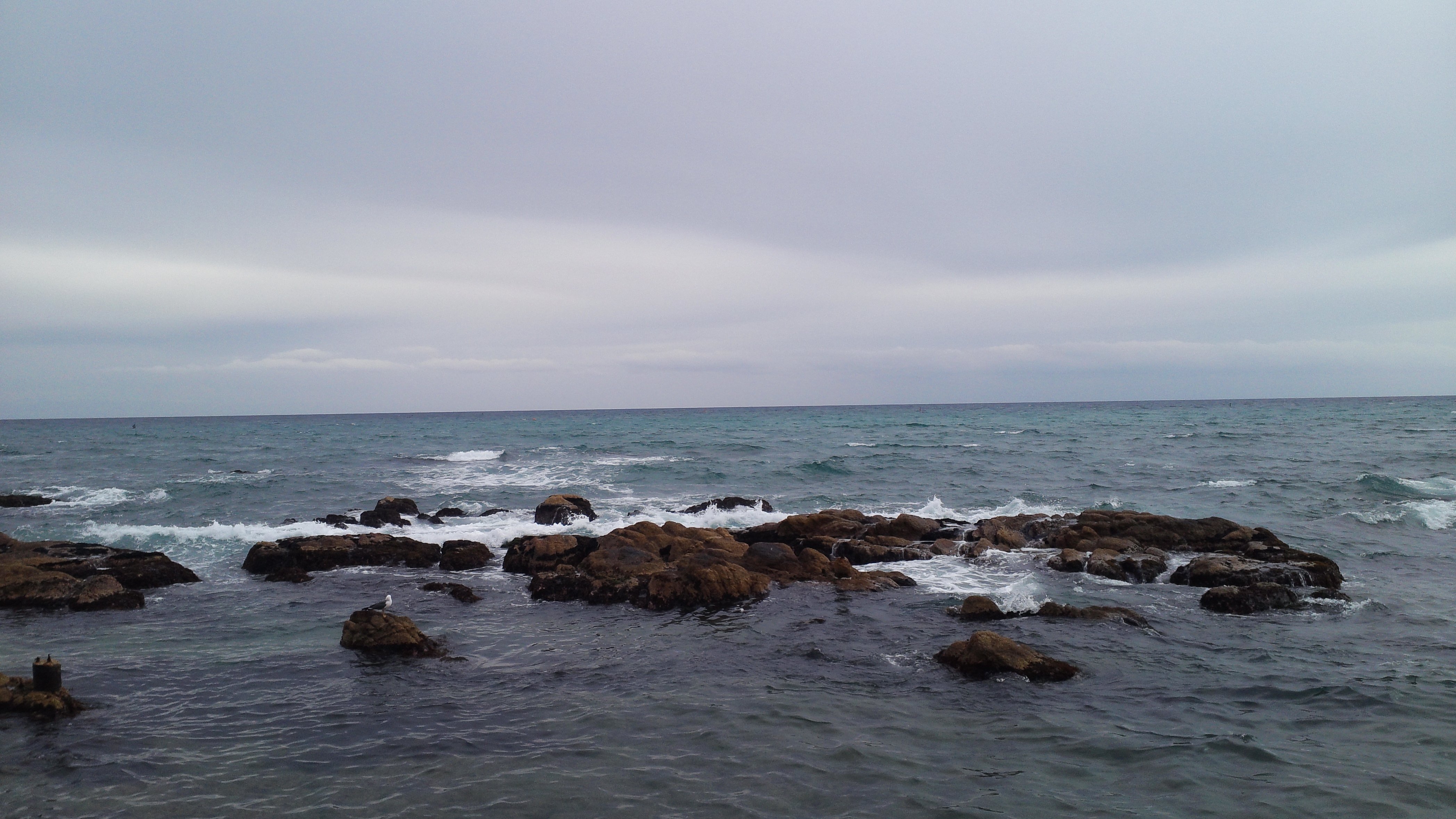
2011 마무리 여행
Uljin-Eup, Gyeongsangbuk-Do, South Korea
2011 마무리 여행
2011 마무리 여행
2011 마무리 여행

2011 마무리 여행

Topographic Map of Bugu-ri, Buk-myeon, Uljin-gun, Gyeongsangbuk-do, South Korea
Find elevation by address:

Places near Bugu-ri, Buk-myeon, Uljin-gun, Gyeongsangbuk-do, South Korea:
Seokpo-myeon
Taebaek-si
Bonghwa-gun
Jeongseon-gun
Yeongju-si
Gangneung-si
Andong
Jeongseon Alpine Centre
Sukam-ri
Pyeongchang Olympic Stadium
Olympic-ro
Yeongwol-gun
Pyeongchang-gun
Yecheon-gun
Mungyeong-si
Gangwon-do
Korea
Recent Searches:
- Elevation of Fern Rd, Whitmore, CA, USA
- Elevation of 62 Abbey St, Marshfield, MA, USA
- Elevation of Fernwood, Bradenton, FL, USA
- Elevation of Felindre, Swansea SA5 7LU, UK
- Elevation of Leyte Industrial Development Estate, Isabel, Leyte, Philippines
- Elevation of W Granada St, Tampa, FL, USA
- Elevation of Pykes Down, Ivybridge PL21 0BY, UK
- Elevation of Jalan Senandin, Lutong, Miri, Sarawak, Malaysia
- Elevation of Bilohirs'k
- Elevation of 30 Oak Lawn Dr, Barkhamsted, CT, USA