Elevation of Bud Ln, Redding, CA, USA
Location: United States > California > Shasta County > Redding >
Longitude: -122.46436
Latitude: 40.608125
Elevation: 223m / 732feet
Barometric Pressure: 99KPa
Elevation Map:
Satellite Map:
Related Photos:

Sundial Bridge at Turtle Bay (II)

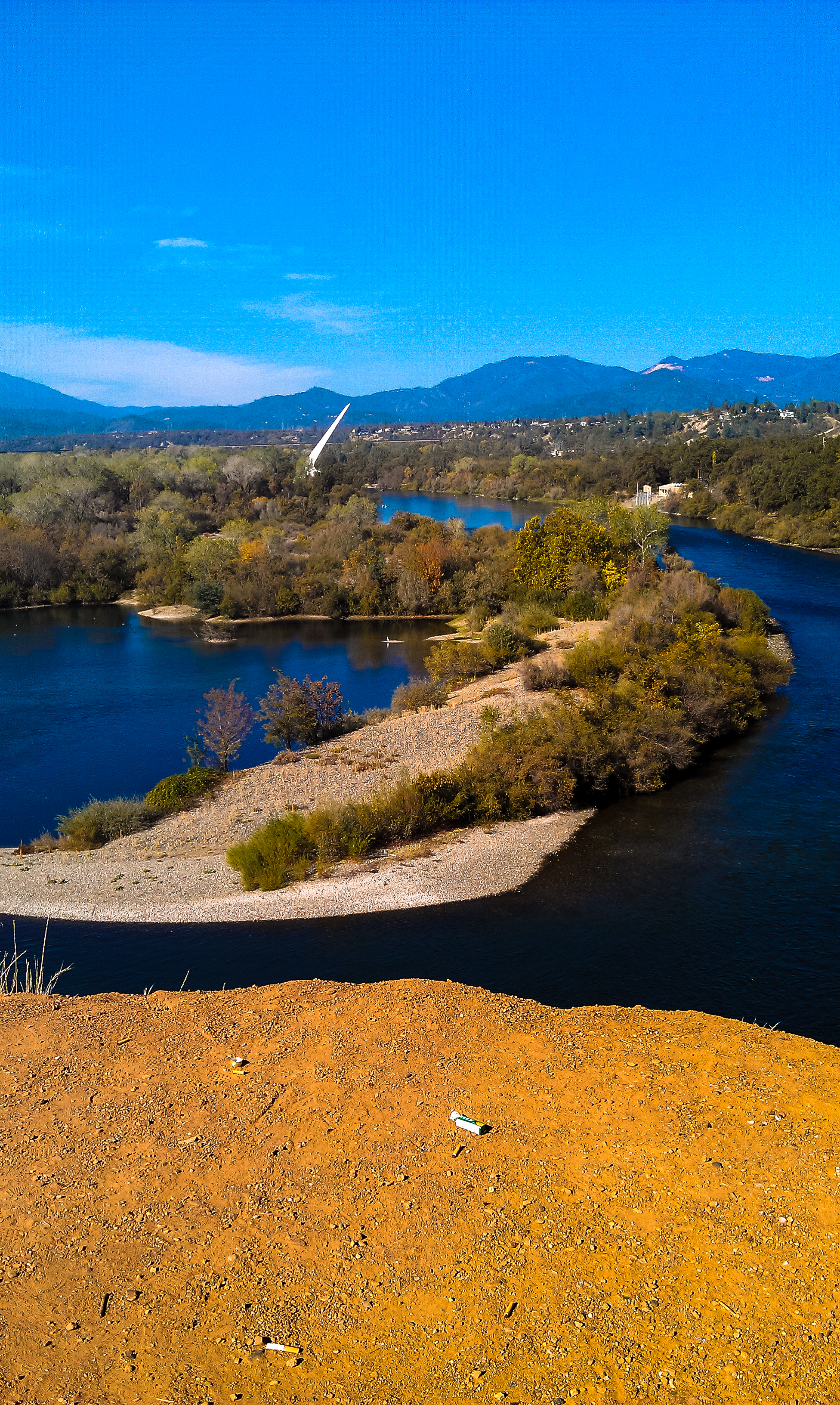
Sunset over Sacramento River
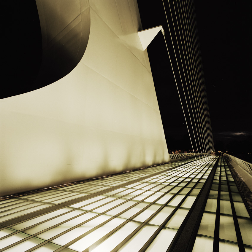
Sundial Bridge, Redding

Self Portrait - 1

Bald Eagle with Fish in Talons - This is "Liberty", the female of the nesting pair at Turtle Bay, Redding, California

Sundial Bridge at Turtle Bay

Sundial Bridge at Turtle Bay Exploration Park facing north view in Redding, California.
Sundial Bridge in September

Sundial Bridge Lightning, The Sundial Bridge, Redding, CA

Self Portrait - 3
Heaven Came Down
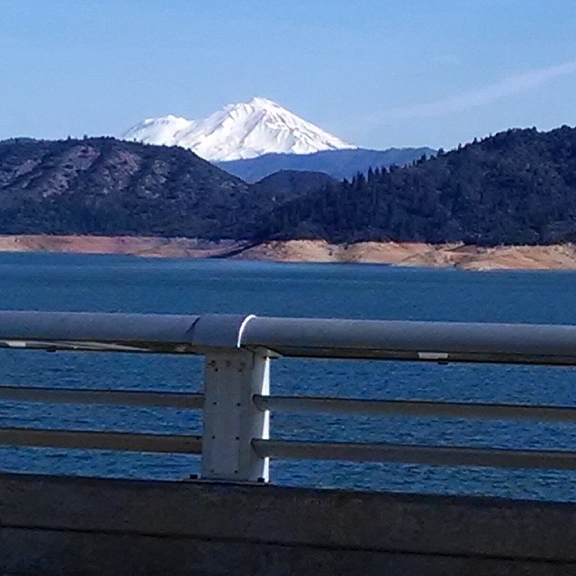
A beautiful view of Mt. Shasta from Shasta Dam.

Sundial in Blue

Calatrava's Sundial Bridge, Redding, California

Self Portrait - 2
Pretty views at #whiskeytown lake

UP9921-9900-9924

Redding, CASD59MX-UP 9900

Changed hotels. Here's the view from the room - sunset on the Sacramento River. #roadtrip #redding #california #hotel #view #Sacramento #river #instagold #instagood #instagram #igdaily #igaddicts #ipodtouch #ipod

View from the overflow. Who'd have though you wouldn't be able to find a seat at an 8.30am service. Love this place!

Redding Train Station UP 9911
There we go (Brandy Creek)
Heart of Gold (Brand Creek)
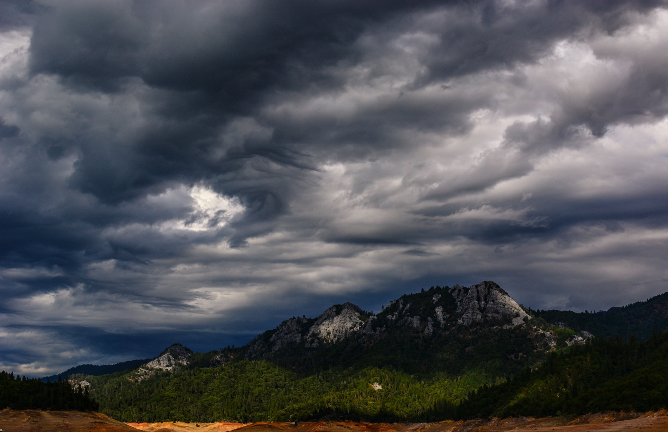
Whiskeytown Lake (Getting the Worm)

Sunset at the Sundial Bridge
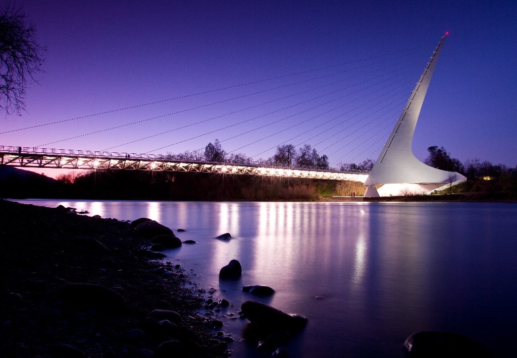
Sundial Bridge Redding Ca.

Red Along a River
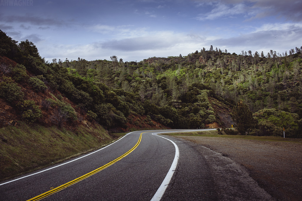
Shasta Dam Boulevard [03.28.13]
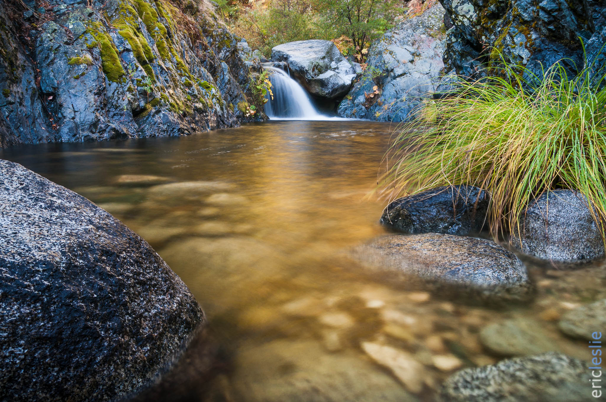
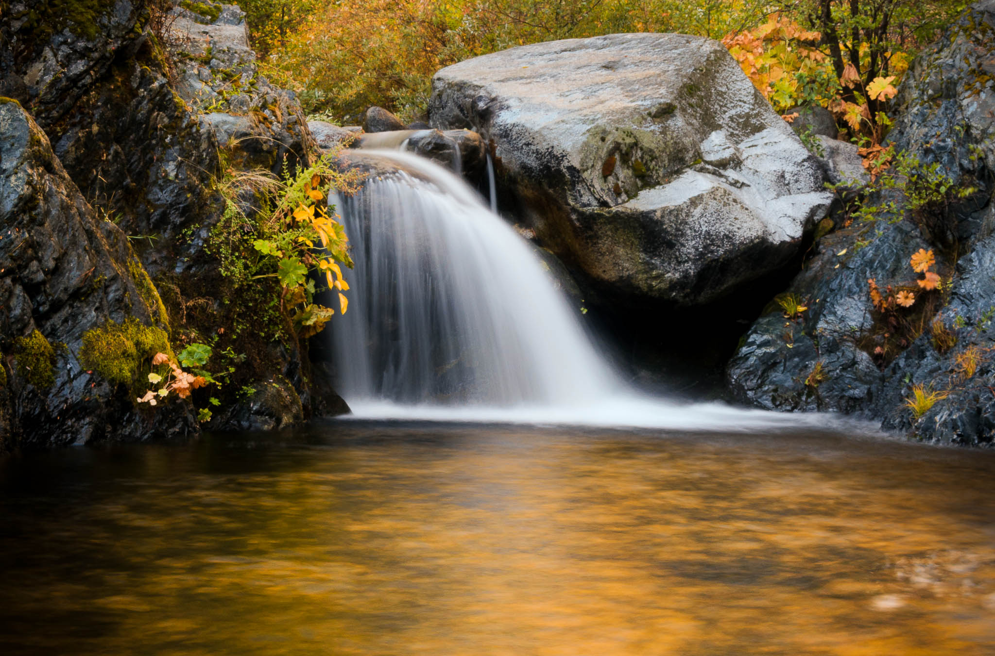
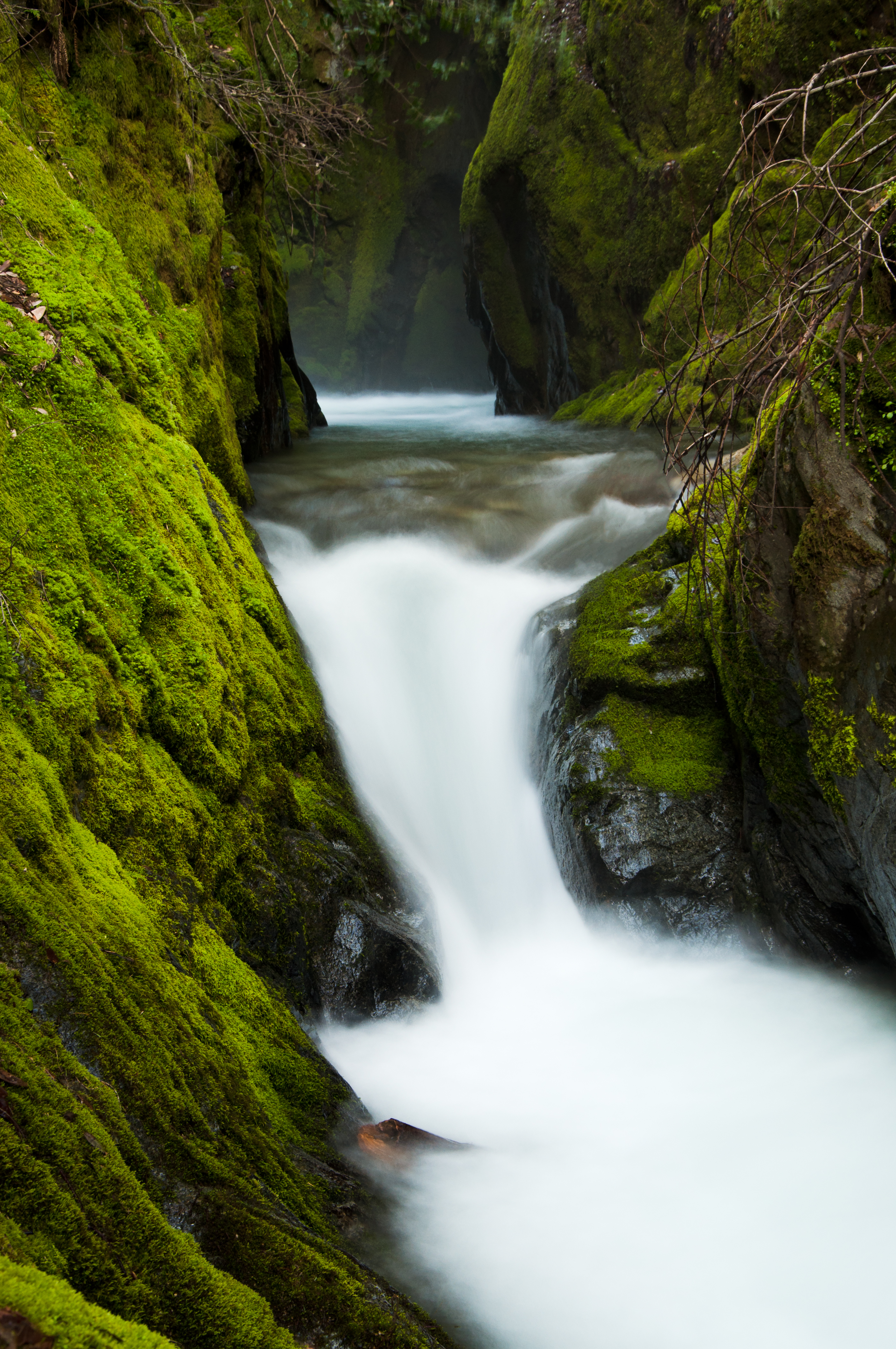
Golden Ticket (Brandy Creek Falls)
Out of Reach

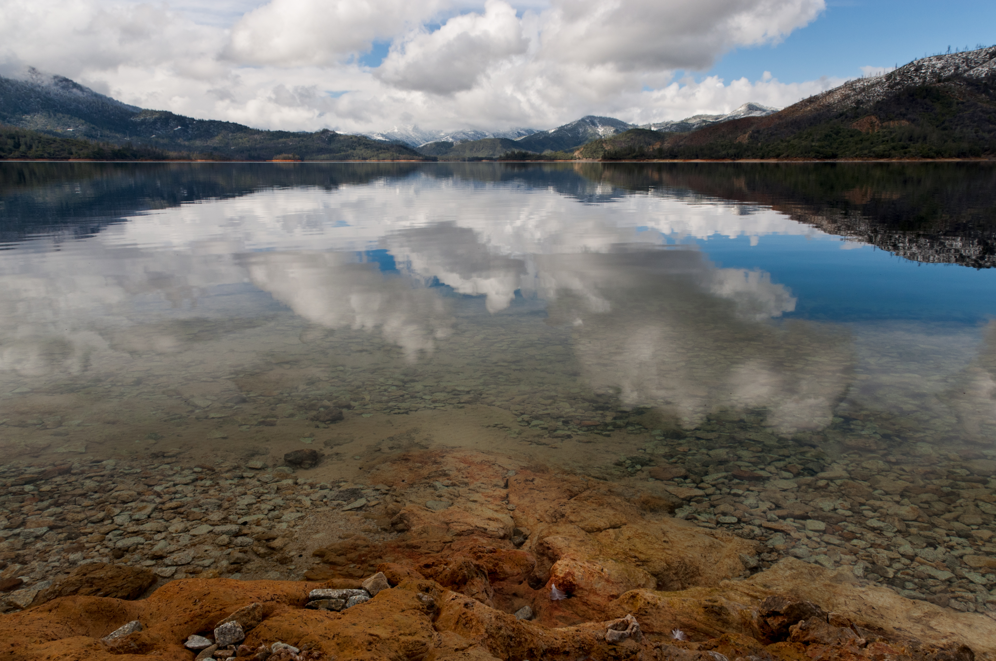
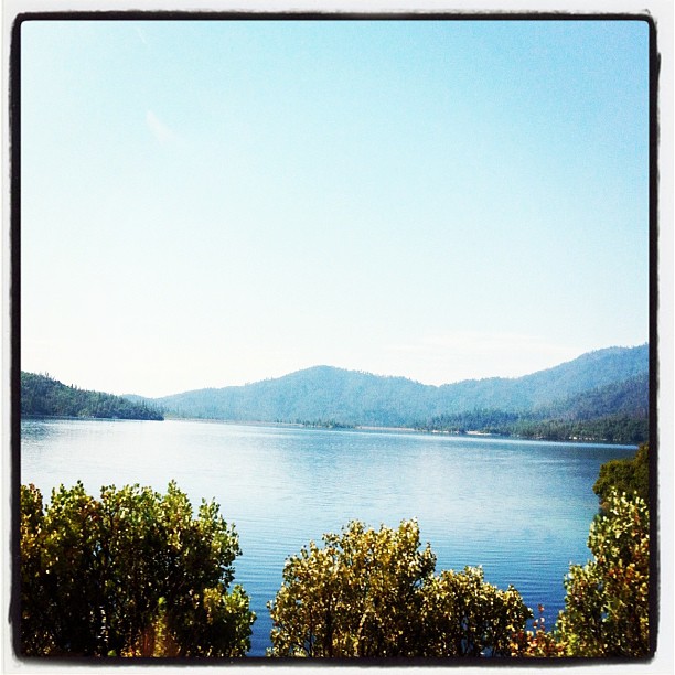
Whiskeytown Lake, California, USA

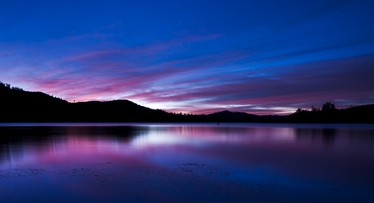
Whiskeytown Lake Sunset [04.02.13]
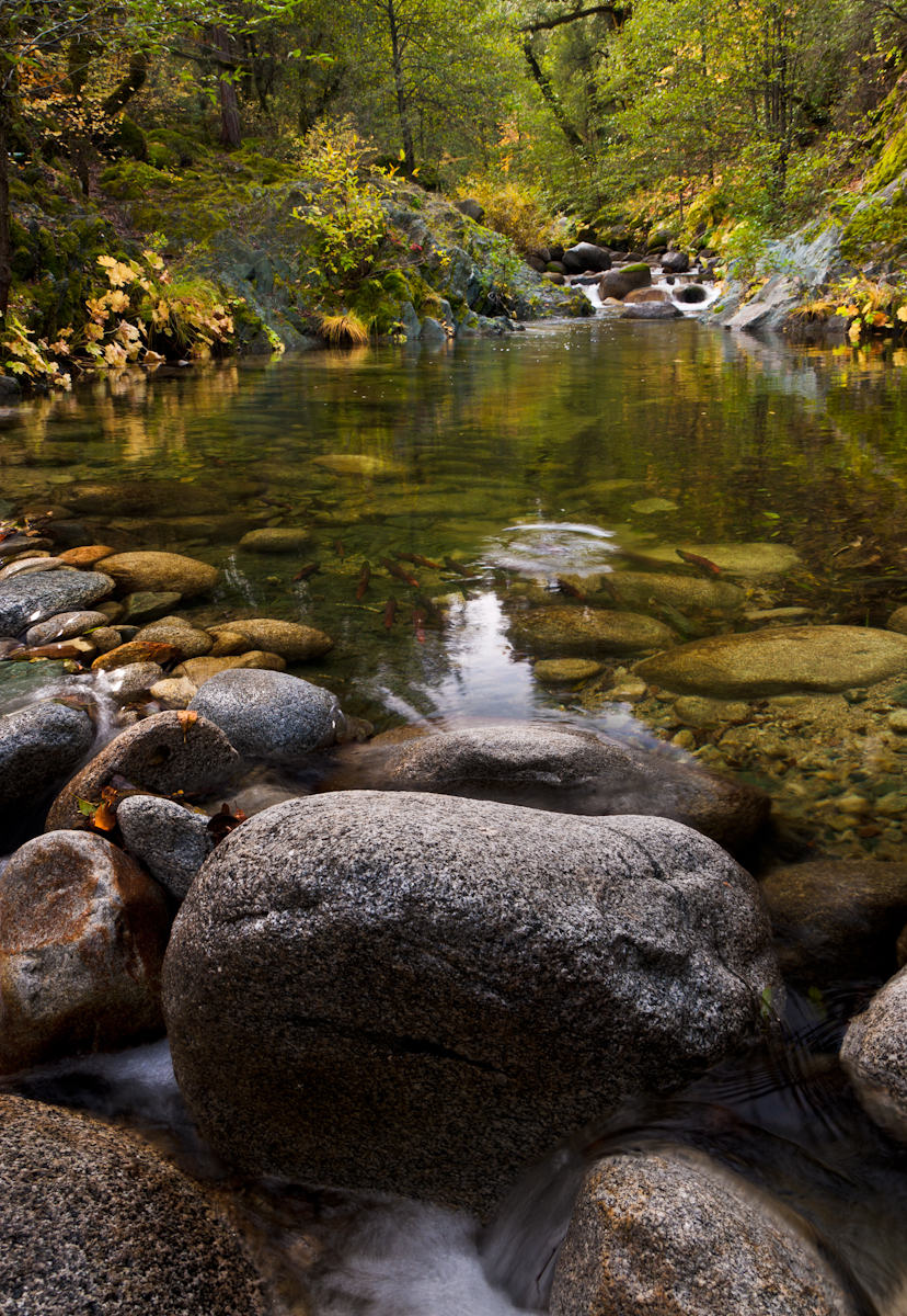
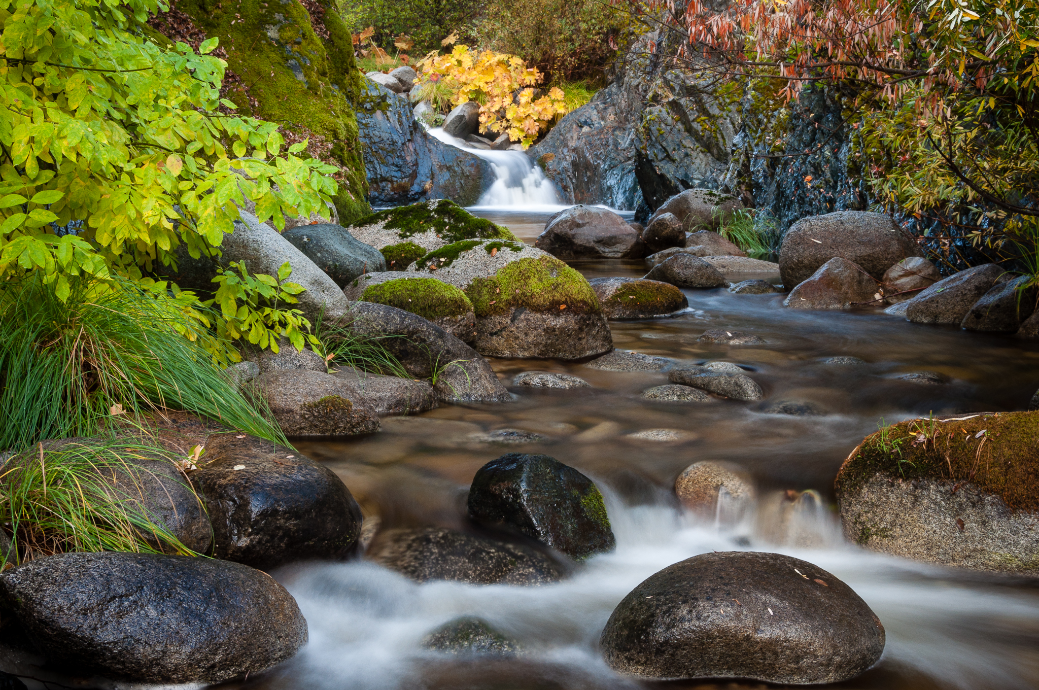
Salmon in Brandy Creek

Trees being trees
#redding #water #art #iphoneography #photooftheday #instagood #iphone #ig #california #jj #love #igers #sky #instagramhub #instamood #tweetagram #popular #bestoftheday #picofthegram #cute #photography #igdaily #me #sunrise #girl #instadaily #sunset #dog #
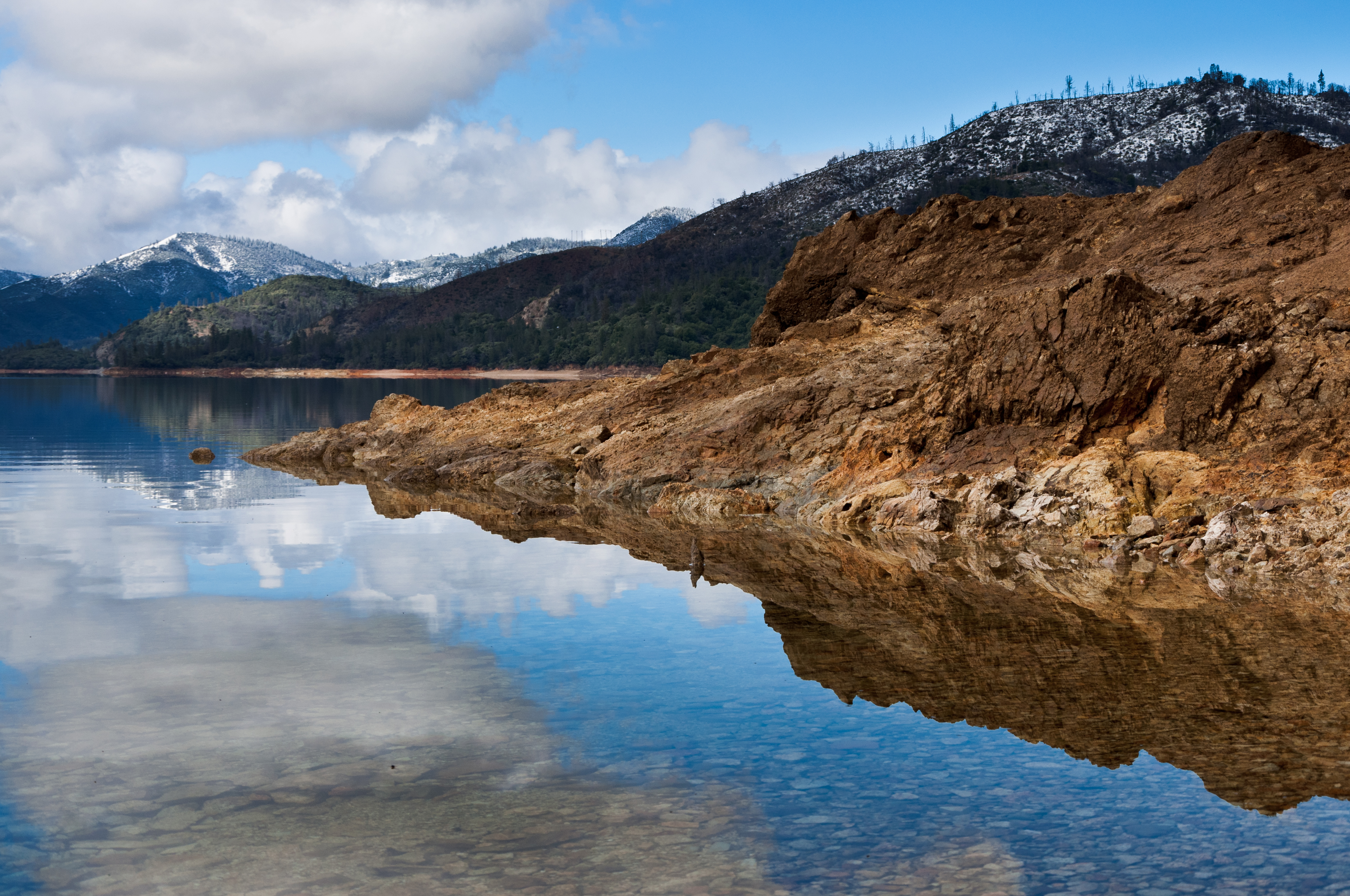
Reflecting on Whiskeytown Lake
Random photography
Topographic Map of Bud Ln, Redding, CA, USA
Find elevation by address:

Places near Bud Ln, Redding, CA, USA:
Iron Mountain Rd, Redding, CA, USA
Cape Cod Drive
Lake Keswick Estates
Keswick Dam Road
15160 Nova Ln
11091 Bird Valley Dr
11690 Pine Oaks Dr
16990 Pine Oaks Dr
17264 Clarks Ln
12005 Iron Mountain Rd
17301 Pittim Dr
12101 Benson Dr
3372 Old Lantern Dr
Iron Mountain Rd, Redding, CA, USA
Whiskeytown National Recreation Area
3760 Lakey Ln
Buckeye
287 Ironwood Ln
12125 Lake Blvd
17684 Petty Ln
Recent Searches:
- Elevation of Jalan Senandin, Lutong, Miri, Sarawak, Malaysia
- Elevation of Bilohirs'k
- Elevation of 30 Oak Lawn Dr, Barkhamsted, CT, USA
- Elevation of Luther Road, Luther Rd, Auburn, CA, USA
- Elevation of Unnamed Road, Respublika Severnaya Osetiya — Alaniya, Russia
- Elevation of Verkhny Fiagdon, North Ossetia–Alania Republic, Russia
- Elevation of F. Viola Hiway, San Rafael, Bulacan, Philippines
- Elevation of Herbage Dr, Gulfport, MS, USA
- Elevation of Lilac Cir, Haldimand, ON N3W 2G9, Canada
- Elevation of Harrod Branch Road, Harrod Branch Rd, Kentucky, USA