Elevation of Buckley Ave, Squamish, BC V8B 0A7, Canada

Location: Canada > British Columbia > Squamish-lillooet > Squamish-lillooet D > Squamish >

Longitude: -123.14957

Latitude: 49.7048148

Elevation: 7m / 23feet

Barometric Pressure: 101KPa

Elevation Map:

elevation map of Buckley Ave, Squamish, BC V8B 0A7, Canada

Satellite Map:

Satellite map of Buckley Ave, Squamish, BC V8B 0A7, Canada

Related Photos:

wood shadow mountains river bench bc seat logs explore squamish anchors squamishriver anchored britishcolombia squamishbc logbench woodbench mountainscene explored cans2s brakendale tedsphotos inexpore
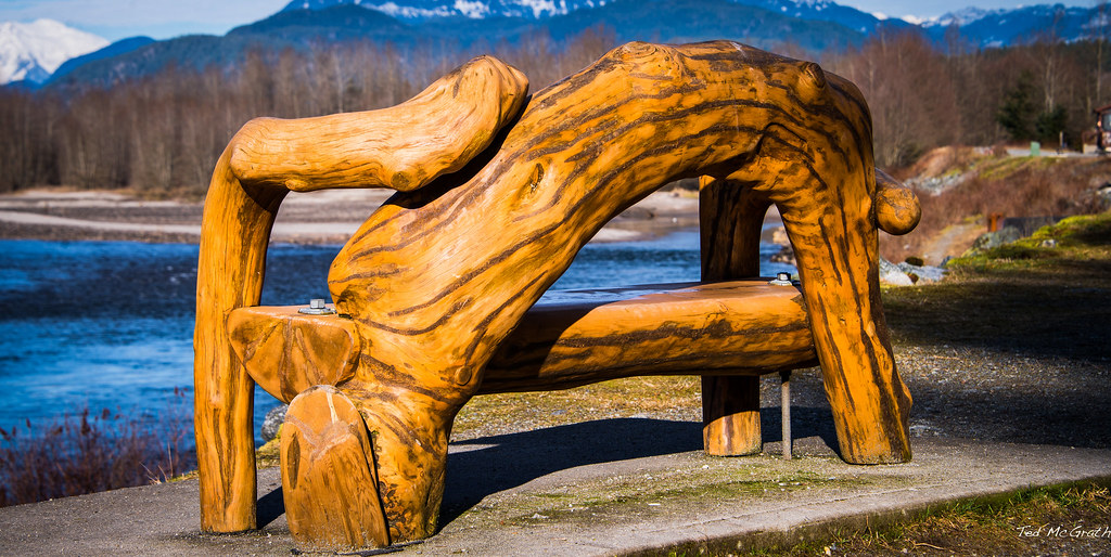
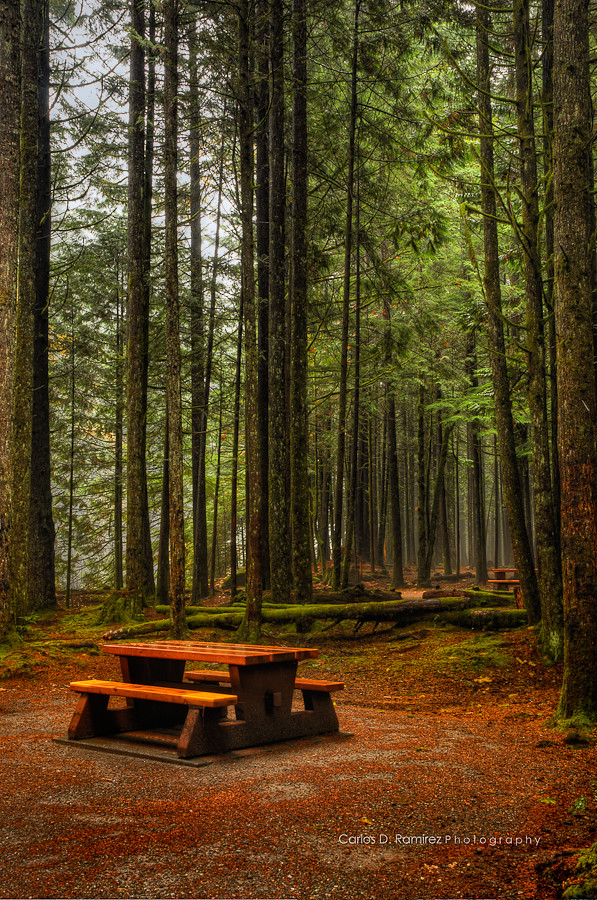
Squamish - 19 Jan 14 - Sit & See
blackandwhite bw white black tree silver blackwhite log nikon branch noiretblanc harbour branches chief roots clarity down structure nb fallen root peninsula barista squamish sounds beastieboys loggers rootdown illcommunication bonewhite d5200 nikond5200
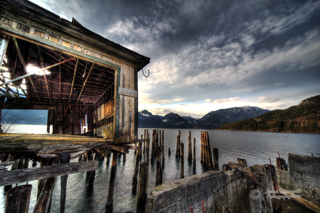
Kick It Root Down, Squamish Terminals, BC, Canada
travel sky lake canada mountains clouds rockies whistler landscapes nikon colours britishcolumbia flight aerial glaciers flyby viewfromabove d610 lakegaribaldi blackcombmountains
British Colombia mountain tops
blue trees cloud mountain canada green clouds forest river britishcolumbia sherry squamish landon d300 nonstopcreations
morning view
door blue windows chimney sign rock rural fence awning restaurant cafe bc steps diner patio explore seats cropped sundeck welcome railing seating utilitypole vignetting squamish bigrock picnictables britishcolombia propanetank fergies squamishbc explored inexplore brakendale tedsphotos fergiescafe welcometofergies welcometofergiescafe
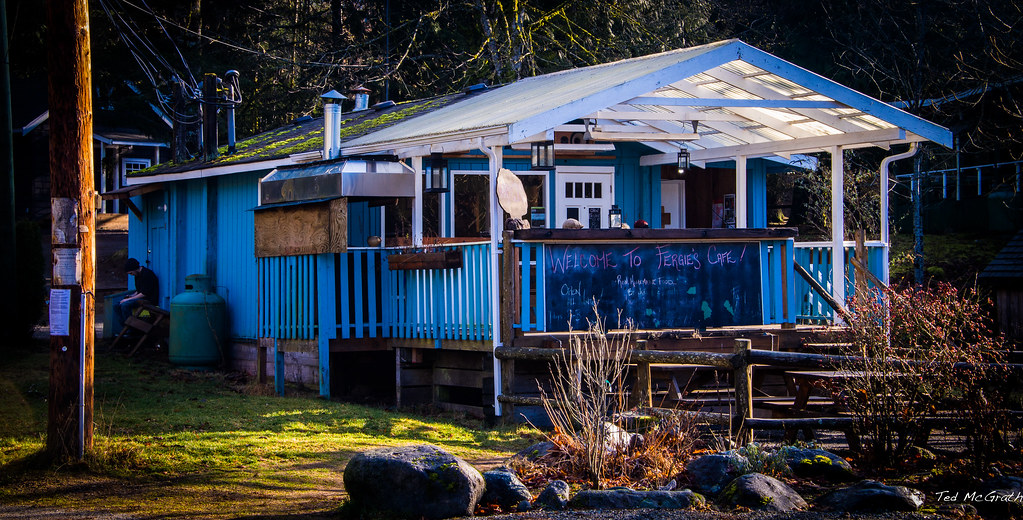
Squamish 19 Jan 14 - Let's do Lunch at Fergie's?
mountain canada mountains nature weather rock america landscape nikon bc earth britishcolumbia chief north planet nikkor squamish konstantin d5100 krasnozhon
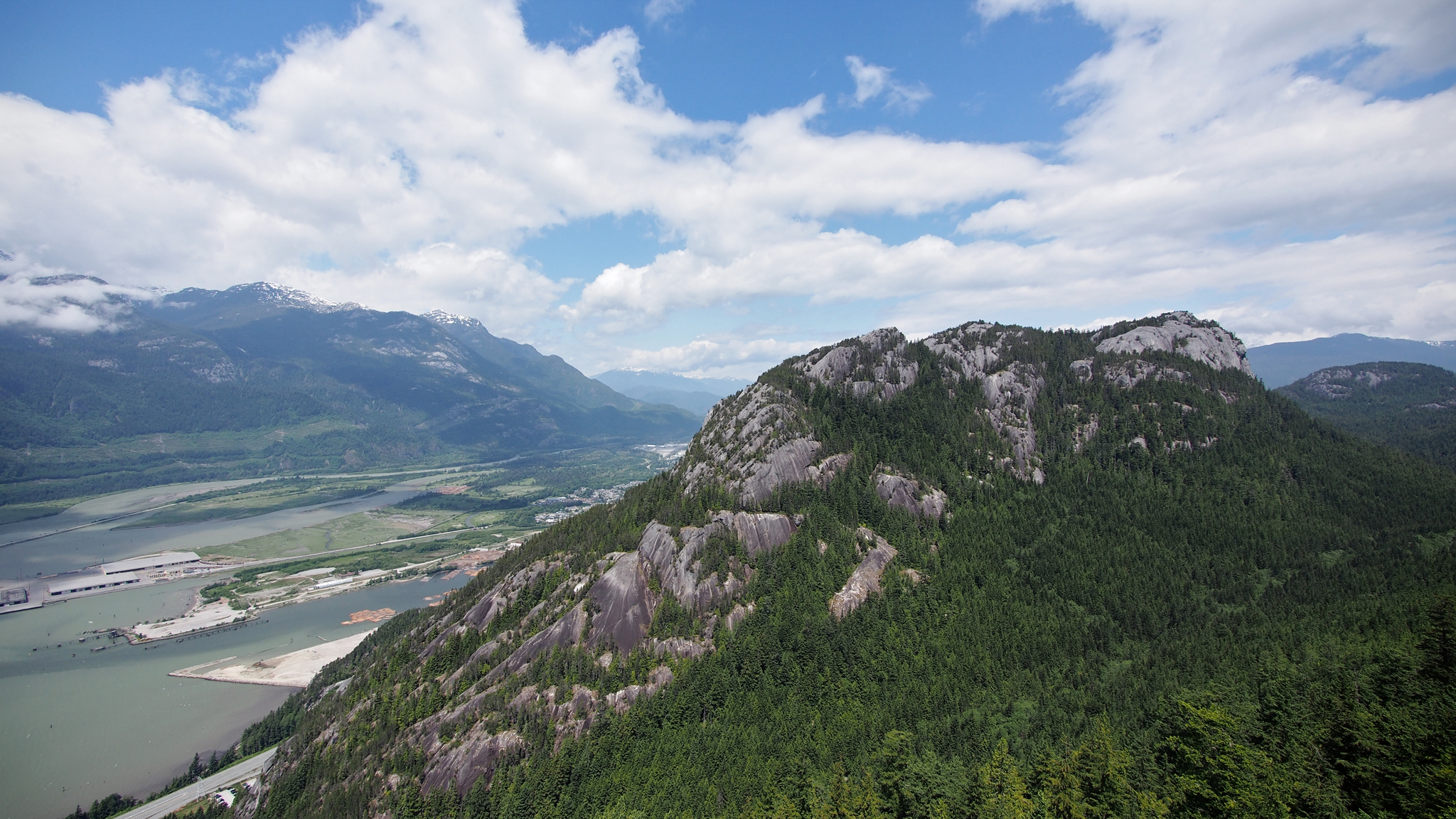
Chief mount., Squamish, BC Canada
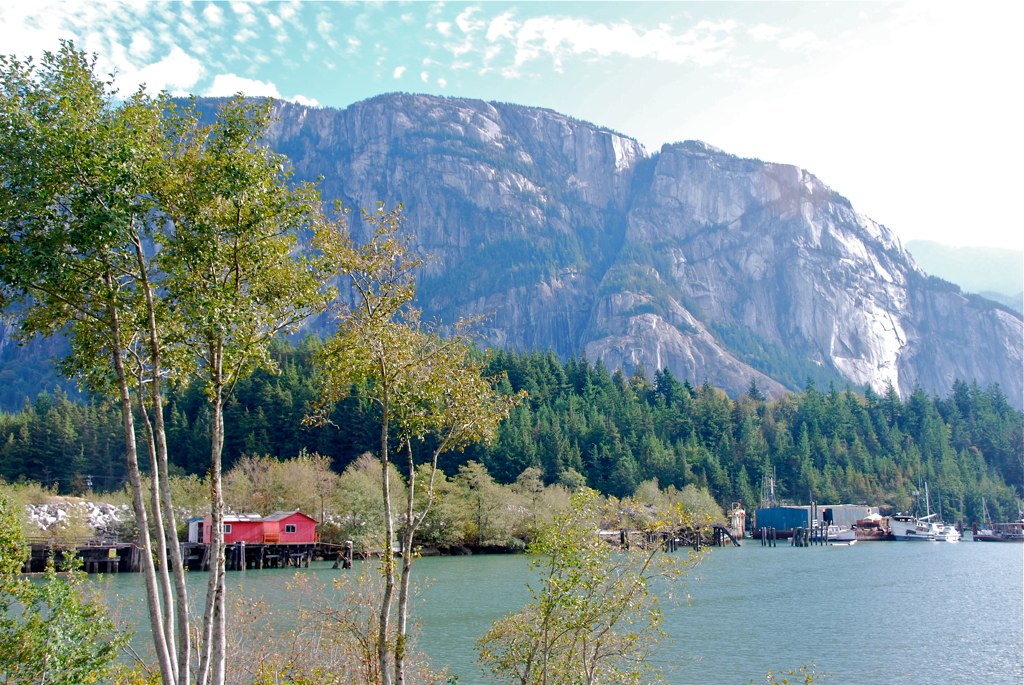
Red Buildings On The Blind Channel With The Chief Behind
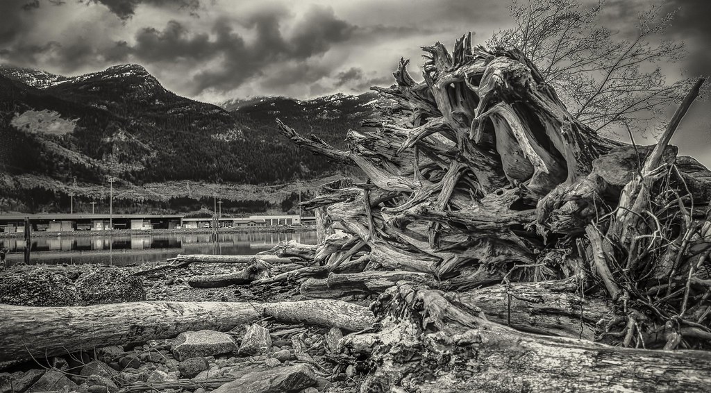
west beach rain forest geotagged coast driftwood shannonfalls seatosky janusz 2101 leszczynski geo:lat=49657739 geo:lon=123204632 tellmewhyidon’tlikemondays
West Coast Beach
ocean sea sky vancouver geotagged whistler view rustic hdr sigma1224 janusz leszczynski britanniabeach 2524 geo:lat=49623834 geo:lon=12320828
Room with the view
levettelake uploaded:by=flickrmobile flickriosapp:filter=nofilter
Levette Lake overnight
ocean blue trees sky mountain canada green water rock clouds forest bc view britishcolumbia dome granite howesound puffy 169 monolith squamish thechief conifers partlycloudy stawamuschief stawamuschiefprovincialpark panasoniclumix714mmf40 olympusem5 seatoskygondola
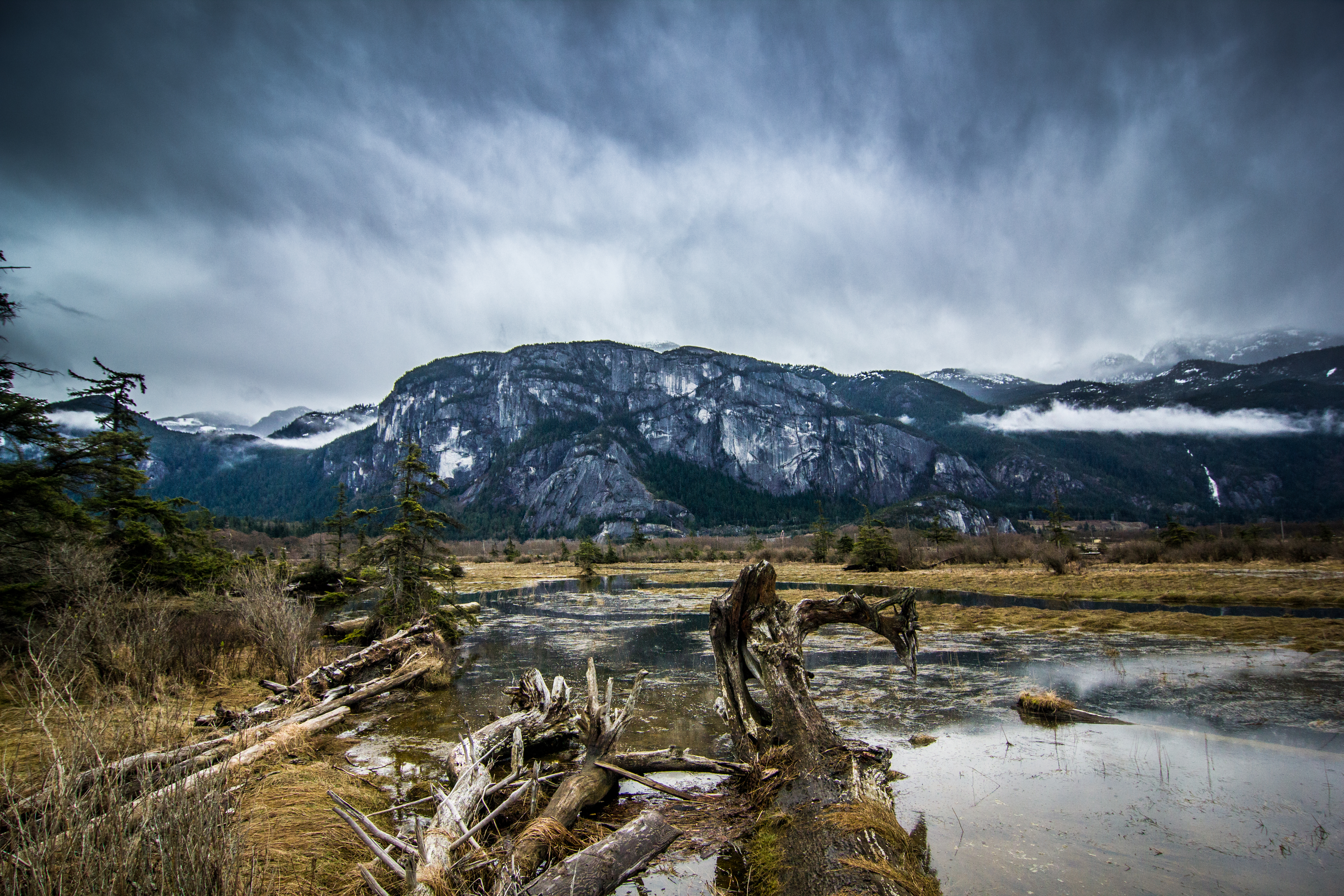
Looking toward The Chief
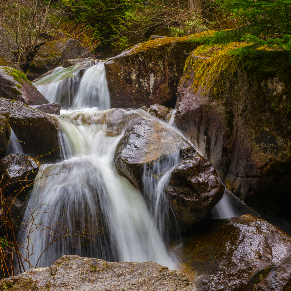
water vancouver waterfall britishcolumbia runningwater squamish vancouverbc shannonfalls jayesh seatoskyhighway blueribbonwinner shannonfallsprovincialpark 18105mmf3556gvr jayeshmodha jayeshnikond90 jayeshmodhanikond90 bcattractions
Shannon Falls
waterfall bc britishcolumbia squamish shannonfalls jayesh seatoskyhighway squamishbc shannonfallsprovincialpark jayeshmodha jayeshmodhanikond90 bcattractions seatoskyhighwaytopattraction squamishattraction
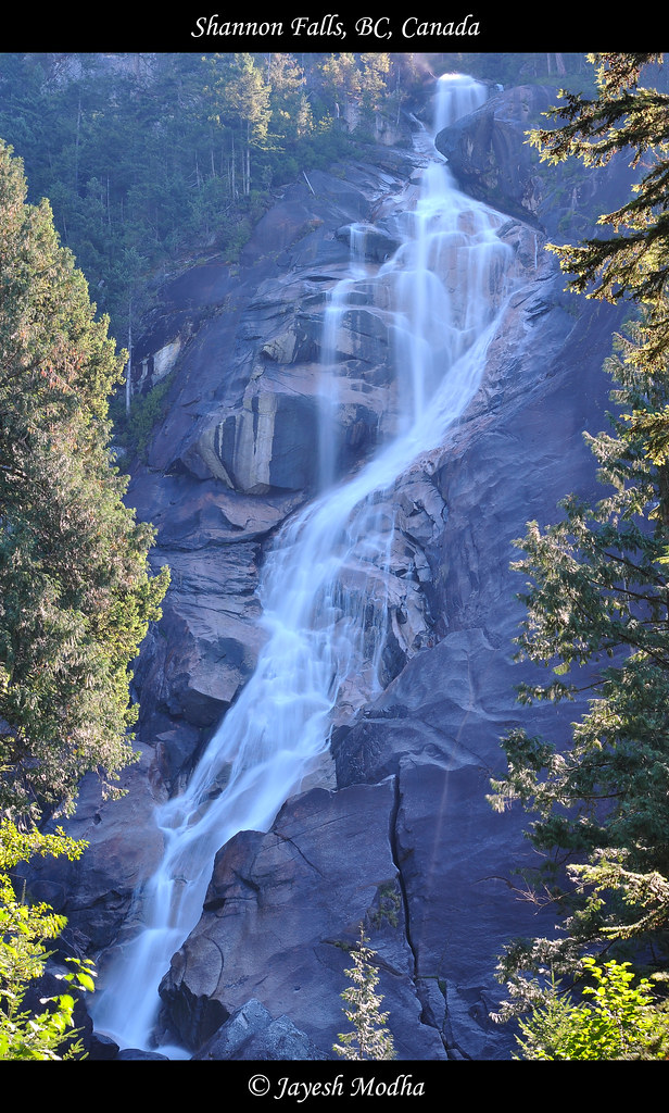
Shannon Falls, BC, Canada
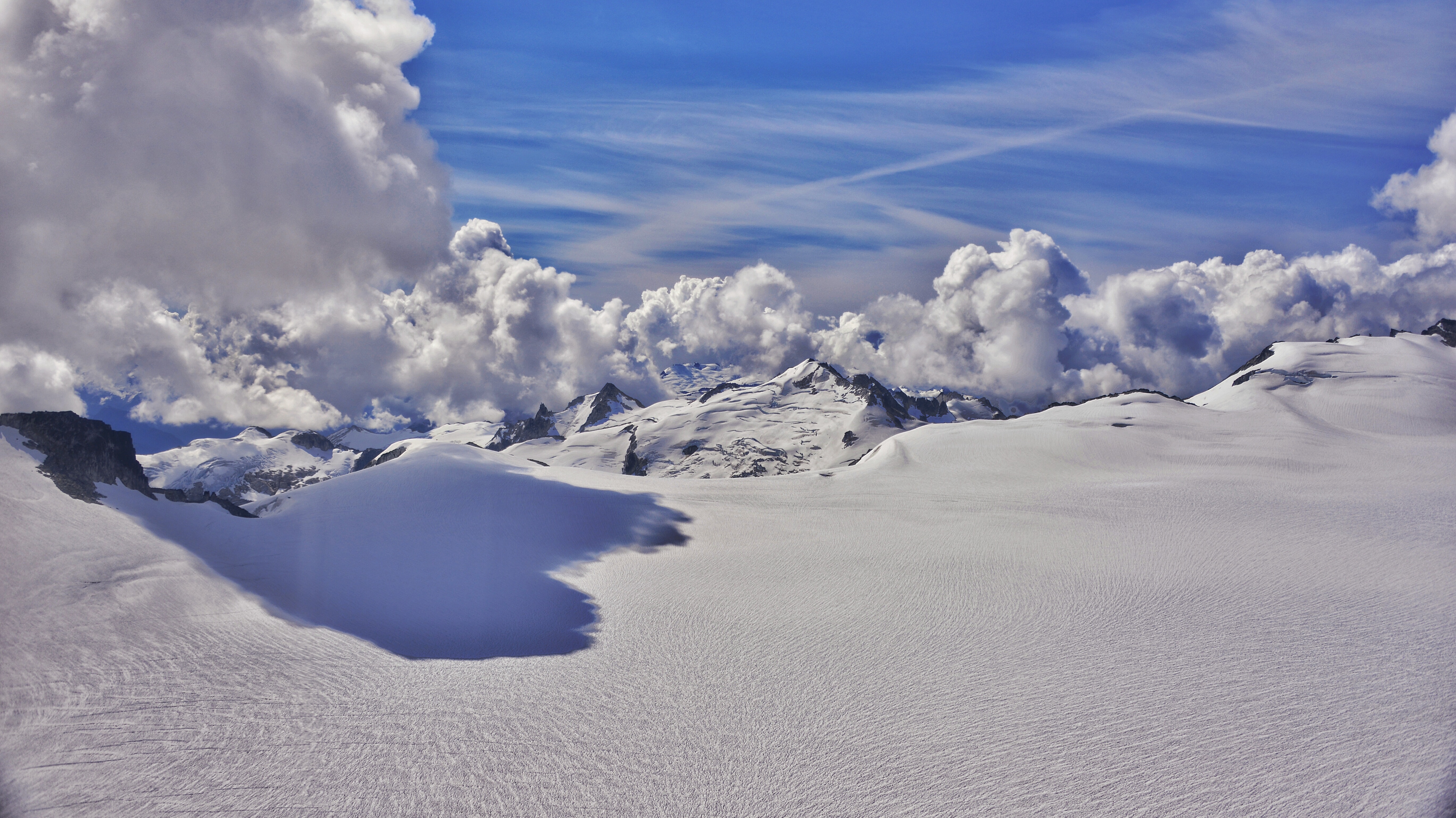
diamondhead elfinlakes garibaldipark redheathermeadows
Elfin Lakes
trees cloud canada tree rain fog clouds forest nikon path britishcolumbia hike trail raining pour pouring garibaldiprovincialpark britishcolumbiamainlandcoastalforests
The Trail Back to Elfin Lakes
squamish mtgaribaldi
Sḵwx̱wú7mesh
canada whistler britishcolumbia diamondhead garibaldipark redheathermeadows omot elfinlakestrail
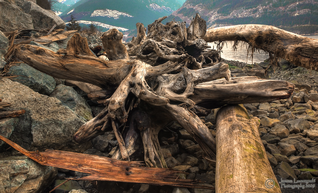
Long range view of the destination
canada nature water sunshine vancouver forest landscape islands coast bc harbour
IMG_3557 2009_09_05 Howe Sound Overcast Specular Reflections
geotagged geo:lat=496224666666653 geo:lon=123204623333332
BC Museum of Mining VF2_5675.JPG
sunset sky cloud sun mountain lake canada vancouver reflections river whistler topf75 britishcolumbia howesound fjord olympics squamish 2010 highway99 seatoskyhighway winterolympics vacouver2010
Sea To Sky
tplringexcellence
Evening Sun over Howe Sound
canada mountains clouds whistler britishcolumbia landmarks sunsets cliffs squamish stawamuschief seatoskyhighway provincialparks photoninja canonm niksoftware
Stawamus Chief
blue sunset sea sky orange canada mountains west reflection nature water vancouver clouds creek canon landscape whistler island coast furry highway rocks long exposure glow bc cove sigma columbia sound british squamish anvil howe porteau
Howe Sound Sunset - Explored
squamish stawamuschief
'Stawamus Chief' (more photos in comment)
canada whistler britishcolumbia
The north side
canada whistler britishcolumbia diamondhead gargoyles garibaldipark elfinlakestrail
Follow me to the top
canada canon britishcolumbia chief estuary tokina nd squamish 1224mm graduated density lightroom stawamus neutral 550d t2i
Graduated Chief
square squareformat normal iphoneography instagramapp uploaded:by=instagram foursquare:venue=4c6ae0f56d390f470b75099a
Tracks!
park blackandwhite bw canada nature fog forest canon landscape waterfall britishcolumbia squamish shannonfalls 2470m canon7d
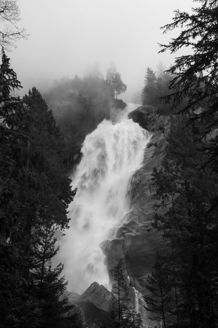
Shannon Falls, Squamish, BC
park travel trees vacation sky urban plants mountain lake canada reflection green fall tourism beach nature water beauty clouds rural forest river landscape outside gold mirror dock scenery rocks colorful bc natural outdoor hiking britishcolumbia alice vibrant scenic trails floating peaceful grand wideangle nobody scene columbia ridge boulders national evergreens glaciers destination environment british leisure geography geology wilderness peaks teton non majestic range squamish canyons tranquil provincial pristine in alicelakeprovincialpark
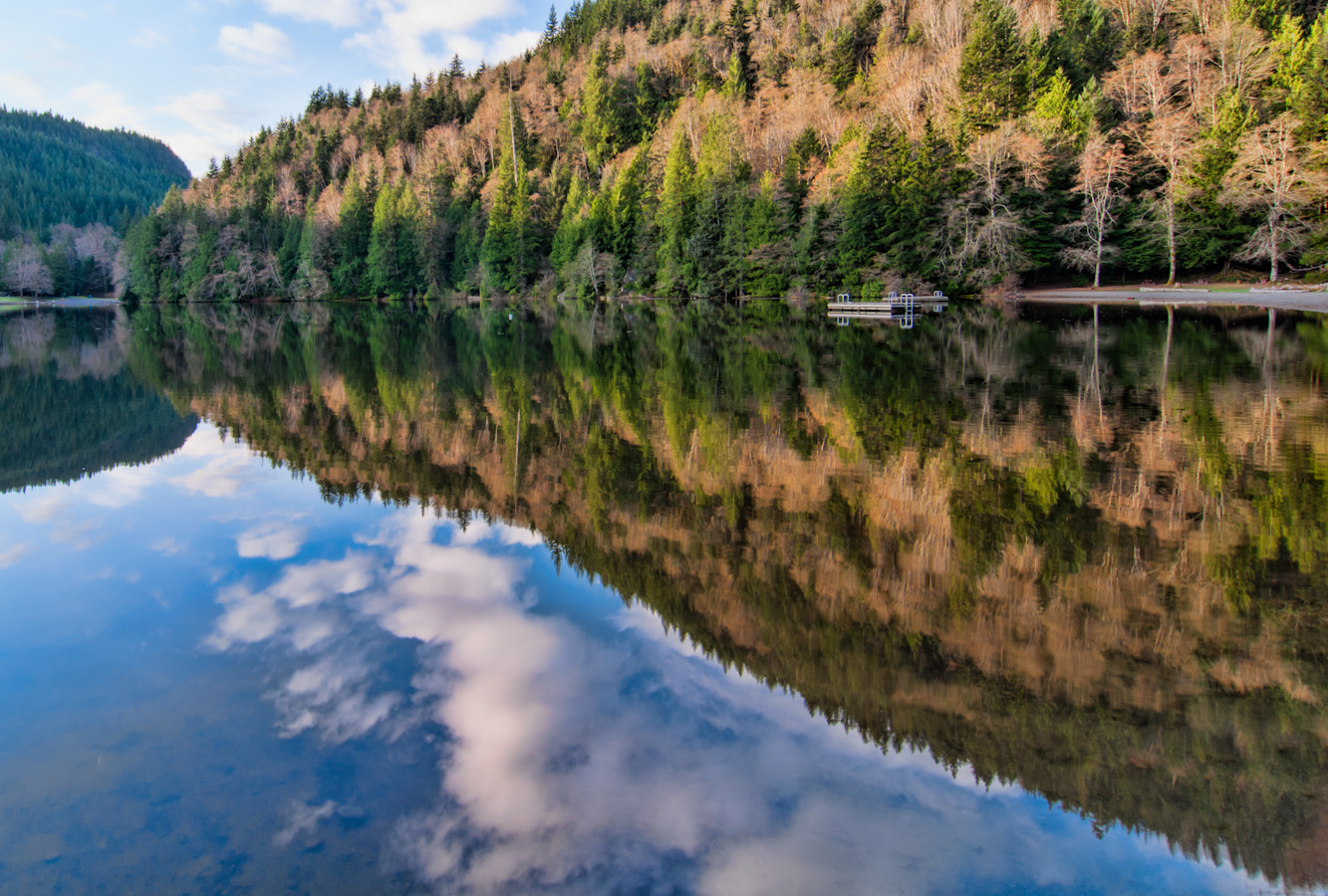
Alice Lake Reflection
trees canada fog bench landscape britishcolumbia squamish alicelake carlosdramirez cdr35 cdrphotostudiocom
Special Place for us
forest waterfall moss geocity exif:focallength=50mm geostate geocountrys camera:make=leicacameraag exif:make=leicacameraag exif:aperture=ƒ13 exif:model=leicamtyp240 camera:model=leicamtyp240 exif:isospeed=100 exif:lens=noctiluxm109550asph geo:lon=12315568611111 geo:lat=49675266666667
Waterfall in Stawamus Chief Trail