Elevation of Buckeystown, MD, USA
Location: United States > Maryland > Frederick County >
Longitude: -77.493140
Latitude: 39.2847917
Elevation: 92m / 302feet
Barometric Pressure: 100KPa
Elevation Map:
Satellite Map:
Related Photos:

Sunset Cat
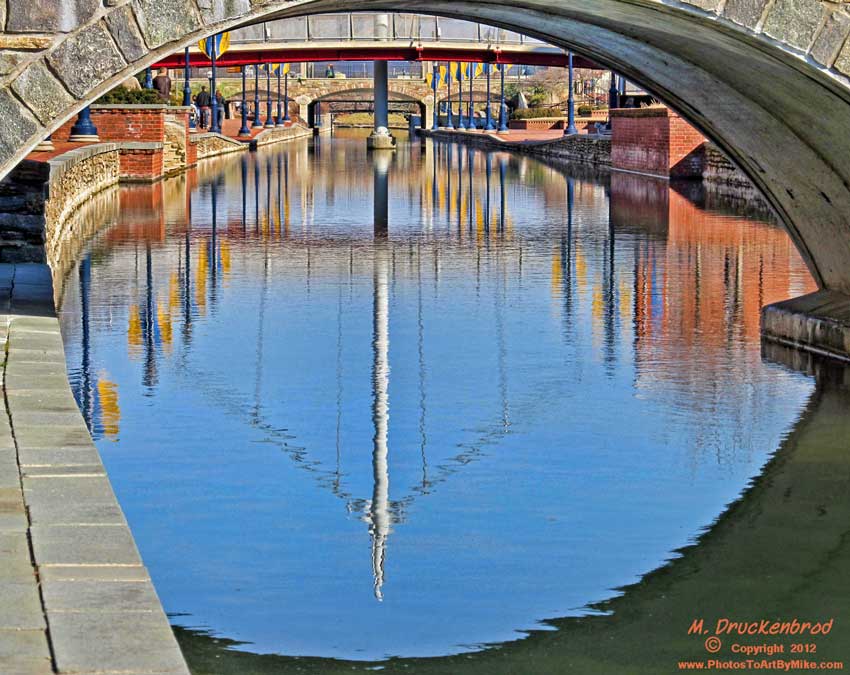
View into the canal, downtown Frederick Maryland
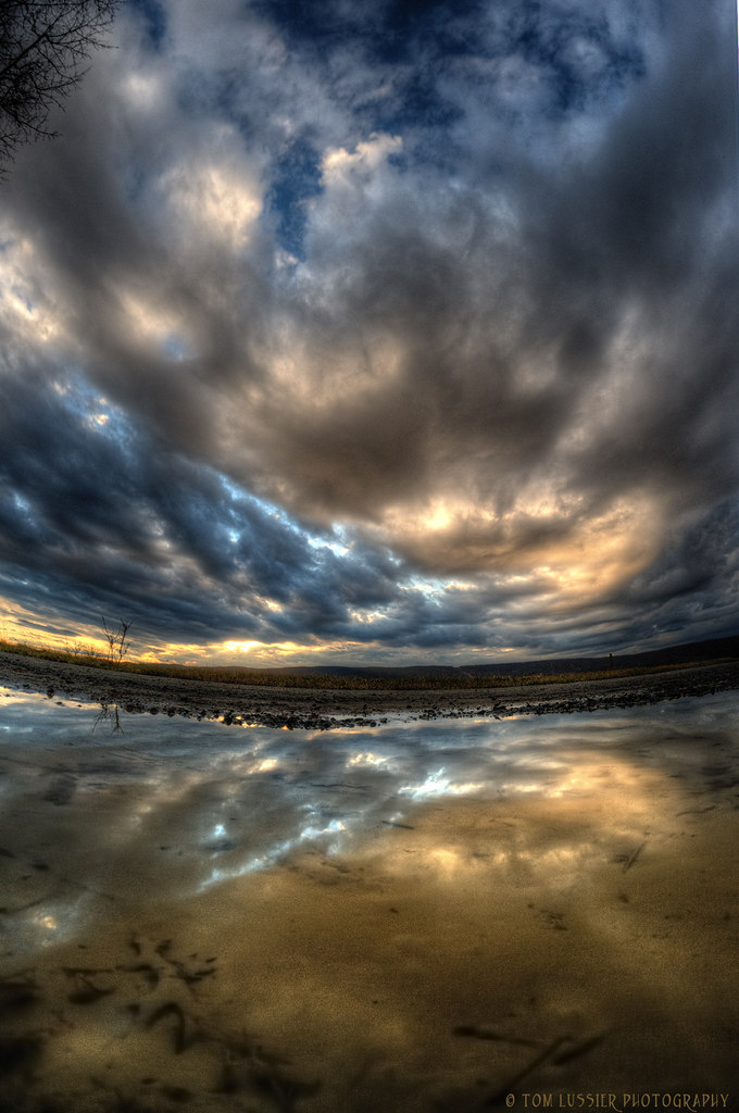
Puddle Vision

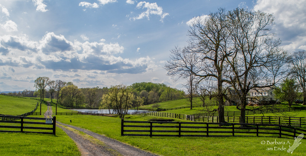
Potomac Panorama
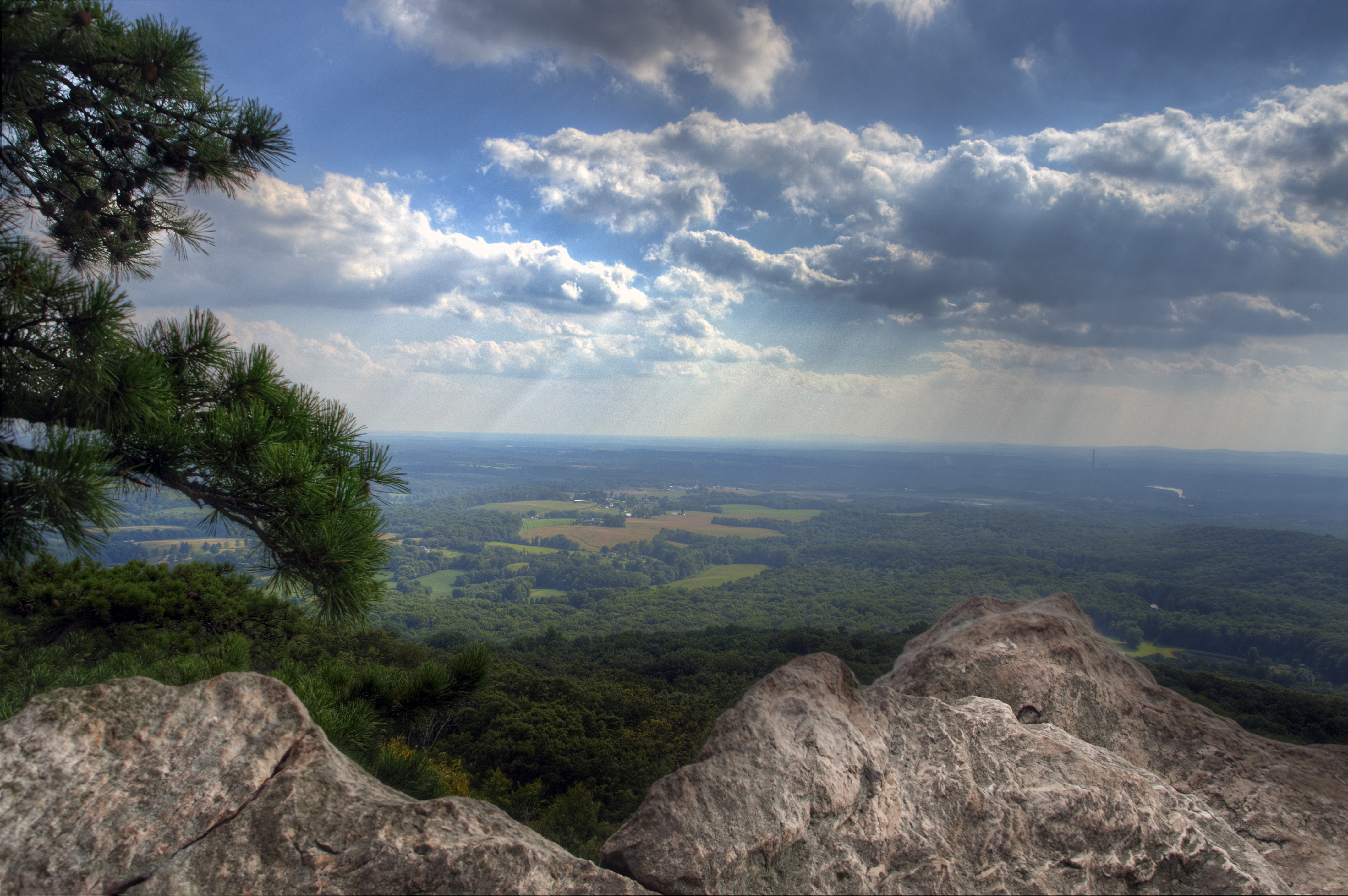
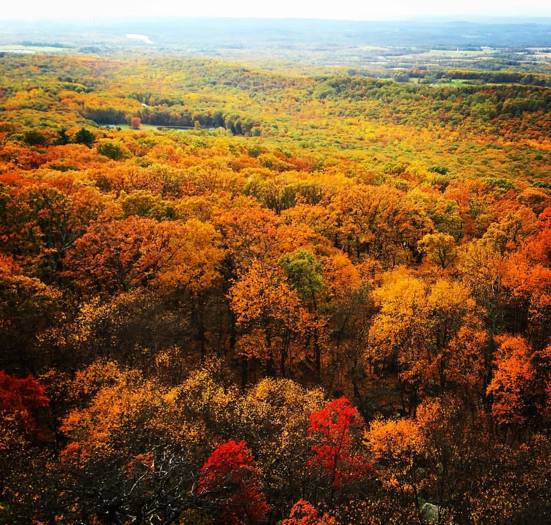
View from Sugarloaf Mountain
View from atop Sugarloaf Mountain
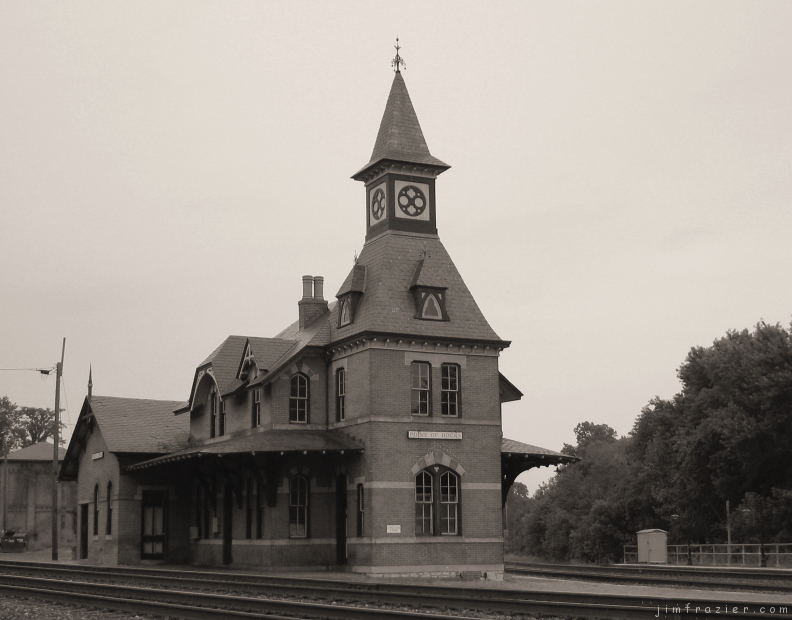
Point of Rocks Railroad Station
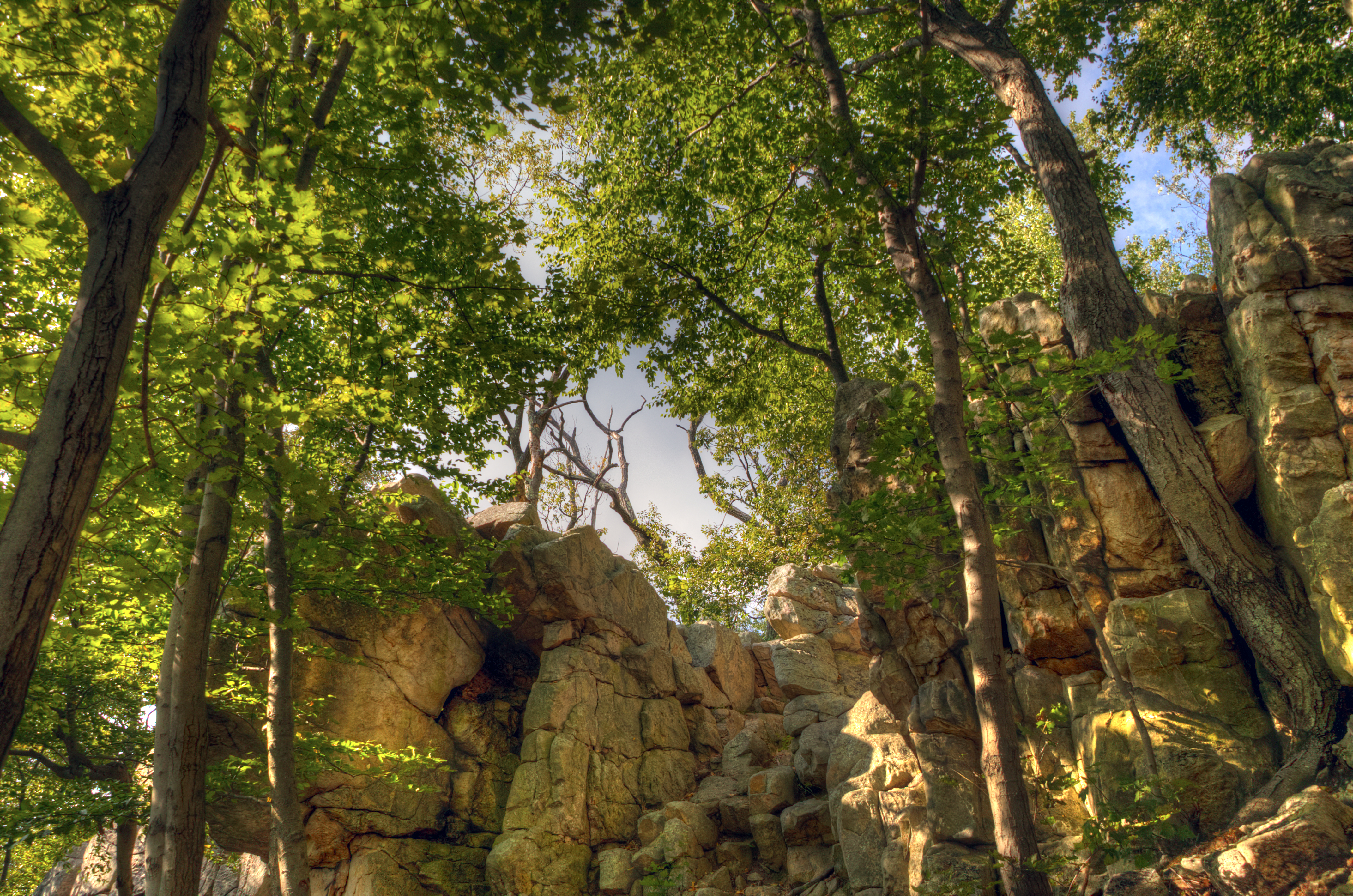
Climbing Down
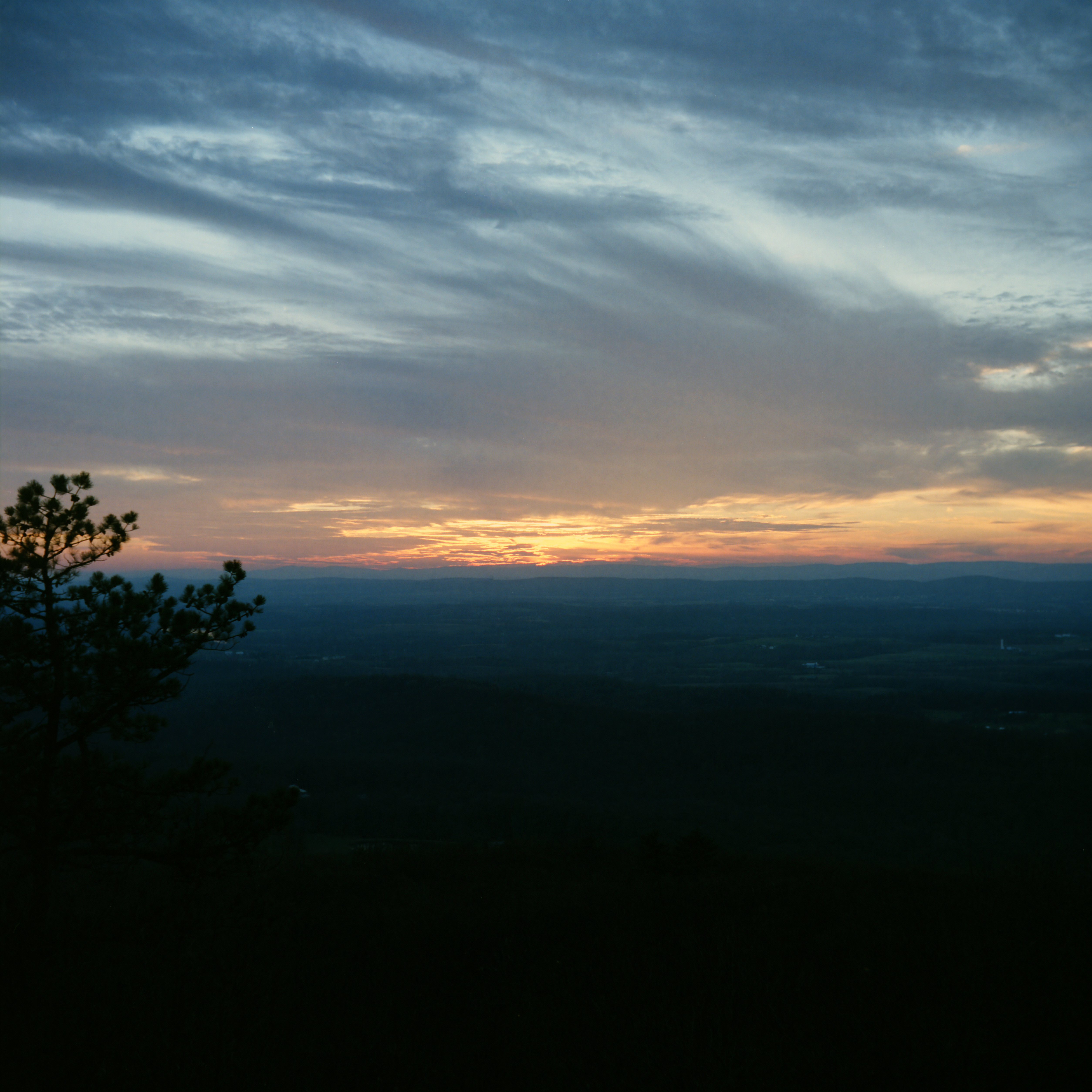
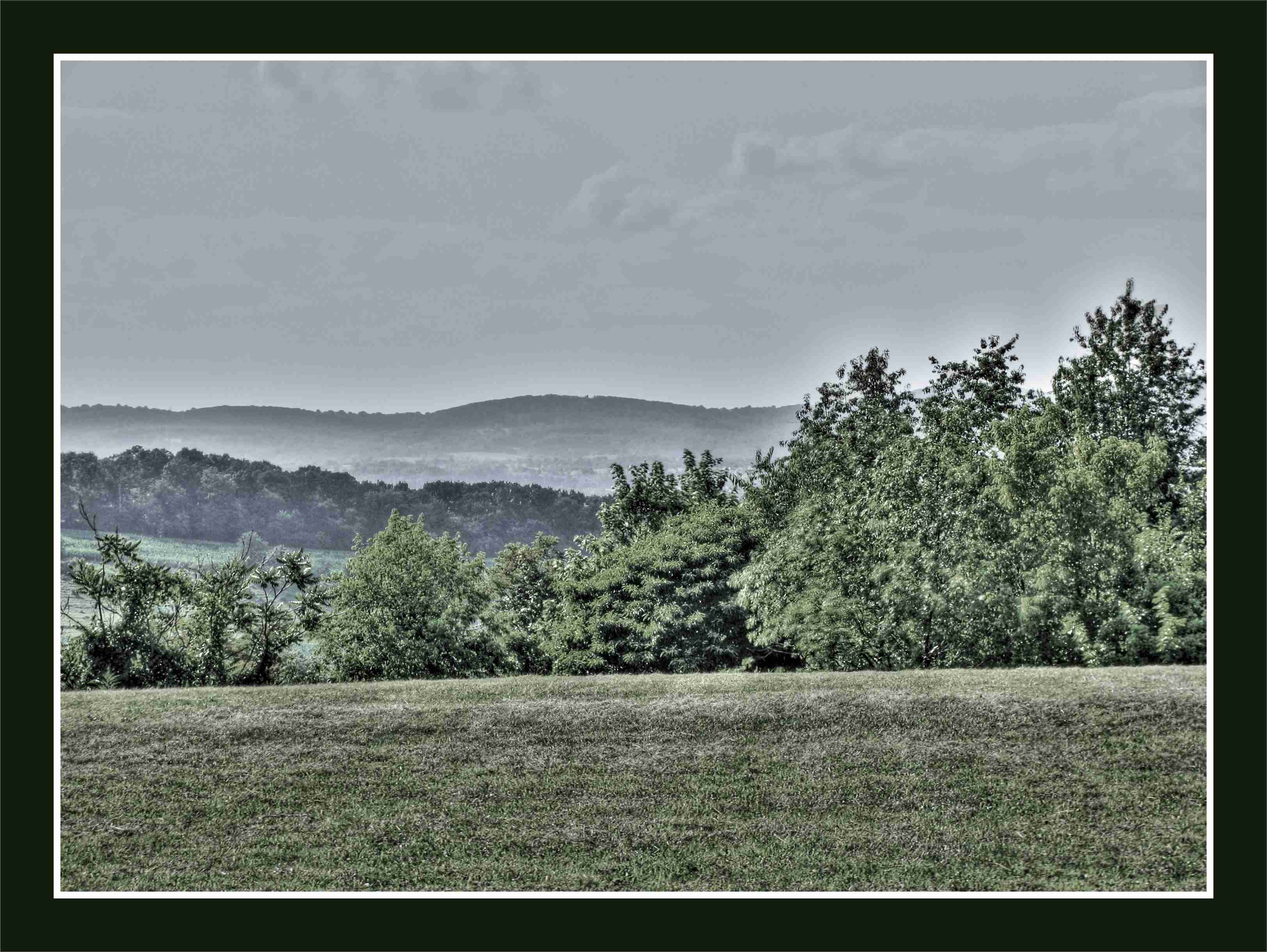
{298/365} Fading light
Epic View at Sugar Loft Mountain! #sugarloafmountain #epicfall #iPhonePhotography #maryland #mountains #atumn
View of Catoctin Mountain From the East
View from Marlu Ridge

2008 12 29 - 9293 - Dickerson - View from Mouth of Monocacy Rd

Roy Rogers - Frederick, MD (Ballenger Center Drive)
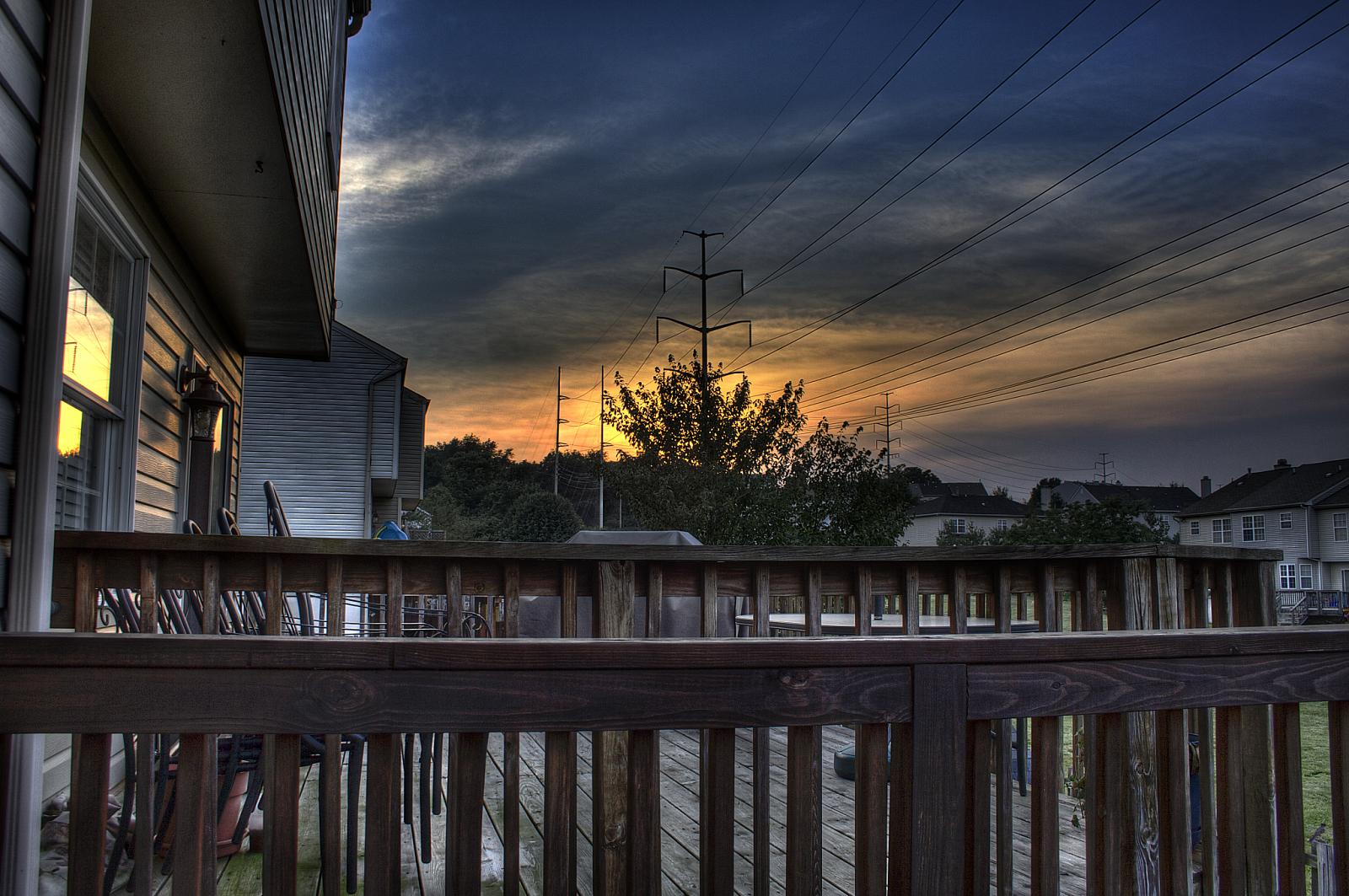
View from the deck

Roy Rogers - Frederick, MD (Ballenger Center Drive)

Sugarloaf Mountain

Ferry view
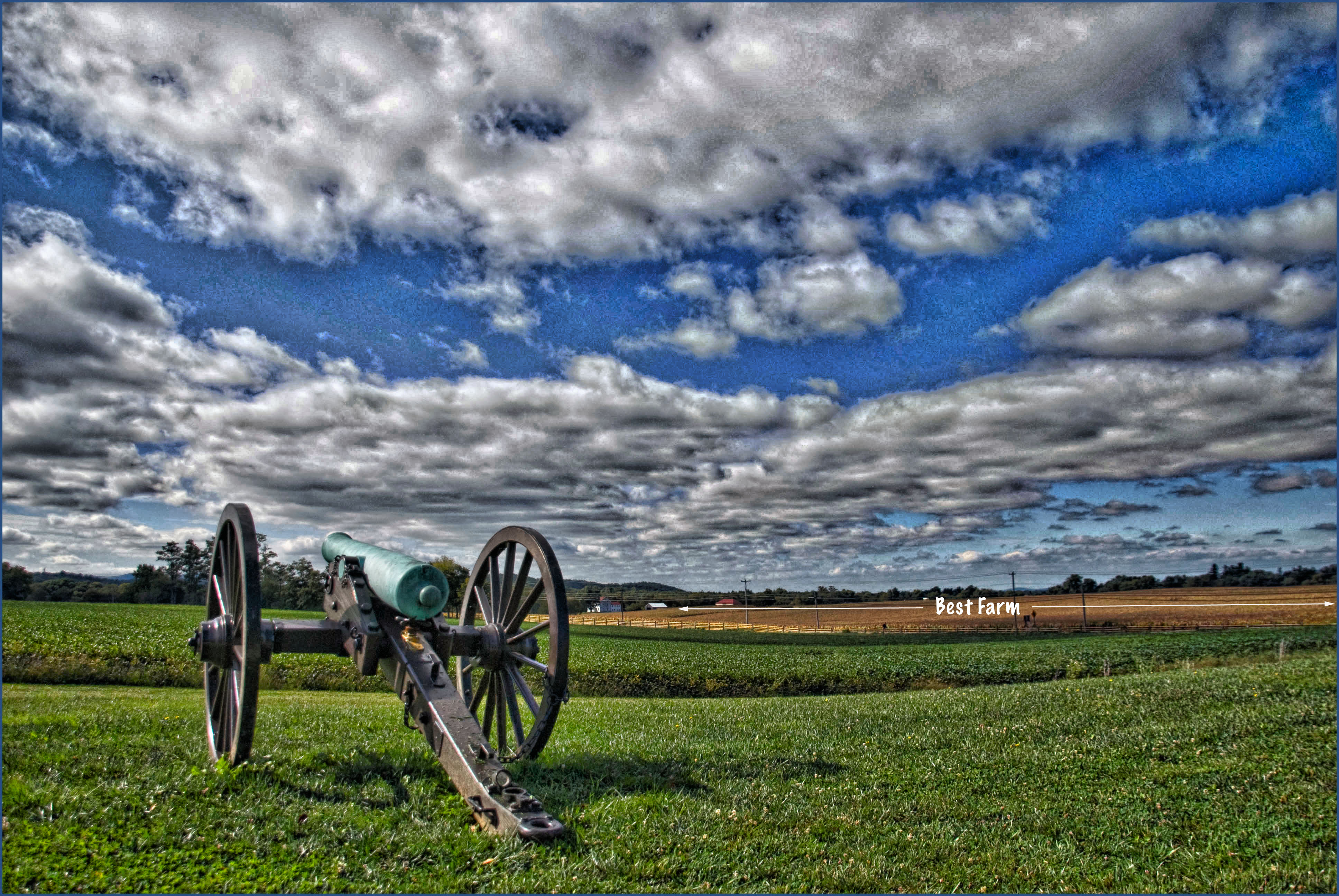
View of the Best Farm -- Monocacy National Battlefield (MD) September 2014
DC-Bound
View at the Worthington House -- Monocacy National Battlefield (MD) September 2014

Enchanted Winter Morning
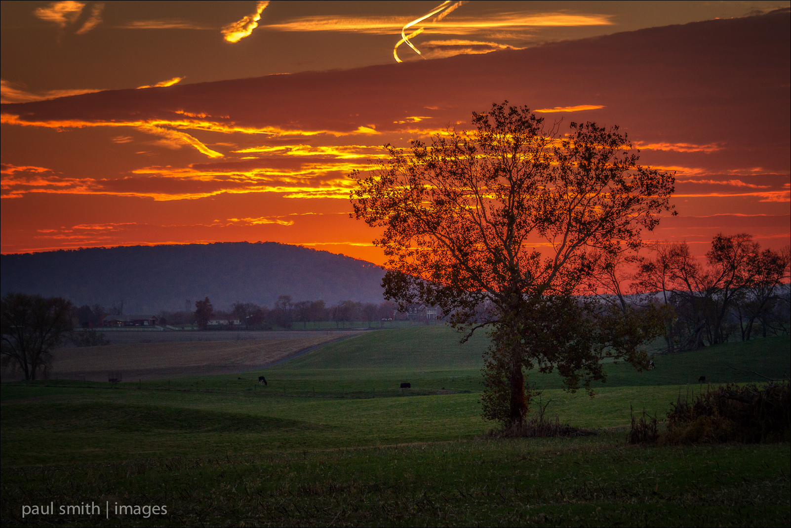
Hoof & Paw Sunset

Seclusion ~Explore~

Gold Fall Morning

farming a storm

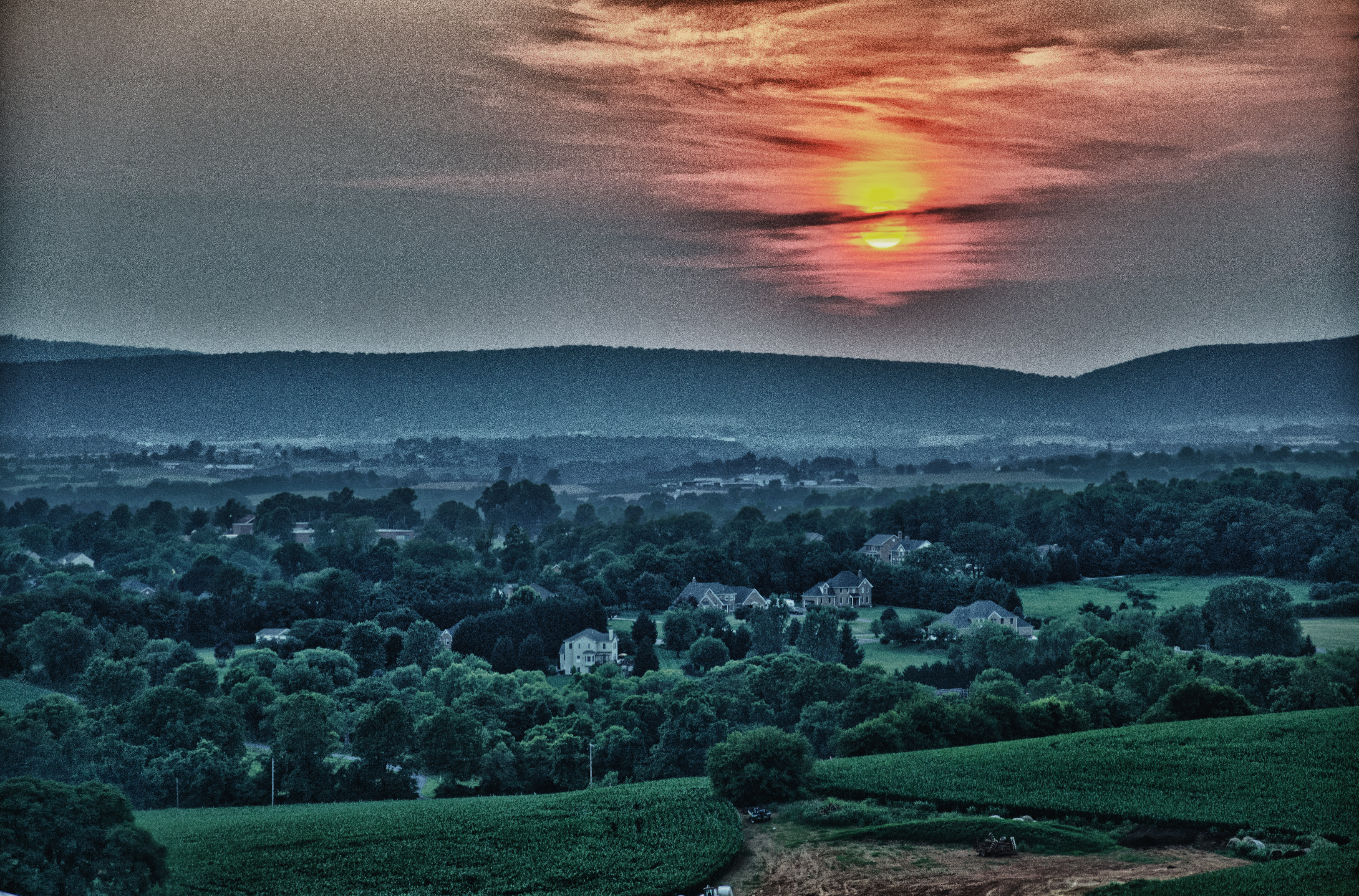
Summer Day Ends

Fall Field
Pastures New Blanket
HFF 11
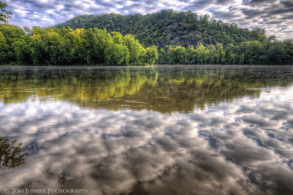
Potomac Calm

Nature's Morning Show

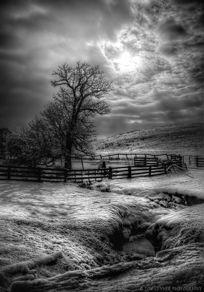
Lone Tree
Another beautiful day.

Twilight Cathedral ~Explore~

Notice the Sunset...
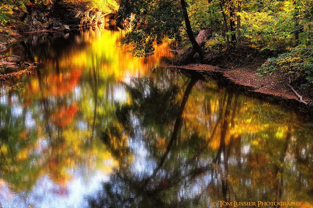
Catoctin Creek Autumn
Morning Blanket
Layers Upon Layers
Wednesday Morning dropping off @myrah.rose #sunrise #Gündoğumu #çarşamba

A Morning of Contrasts
Topographic Map of Buckeystown, MD, USA
Find elevation by address:

Places in Buckeystown, MD, USA:
Tuscarora
Point Of Rocks
Adamstown
Basford Rd, Frederick, MD, USA
Stonewall Ct E, Adamstown, MD, USA
Doubs Rd, Adamstown, MD, USA
S Crissford Rd, Adamstown, MD, USA
Michaels Mill Rd, Adamstown, MD, USA
Lawrence Ct, Adamstown, MD, USA
Thomas Dr, Point of Rocks, MD, USA
3663a
Ballenger Creek Pike, Adamstown, MD, USA
Manor Woods Road
Places near Buckeystown, MD, USA:
Ballenger Creek Pike
Doubs Rd, Adamstown, MD, USA
Ballenger Creek Pike, Adamstown, MD, USA
Adamstown
1700 Canal Run Dr
Tuscarora
Carroll Manor Elementary School
Basford Rd, Frederick, MD, USA
Thomas Dr, Point of Rocks, MD, USA
Lawrence Ct, Adamstown, MD, USA
Chick Road
Point of Rocks Rd, Jefferson, MD, USA
3663a
Point Of Rocks
Mar-lu-ridge
3377 Mar Lu Ridge Rd
3377 Mar Lu Ridge Rd
S Crissford Rd, Adamstown, MD, USA
Mar Lu Ridge Road
Potomac Woods Ln, Leesburg, VA, USA
Recent Searches:
- Elevation of Corso Fratelli Cairoli, 35, Macerata MC, Italy
- Elevation of Tallevast Rd, Sarasota, FL, USA
- Elevation of 4th St E, Sonoma, CA, USA
- Elevation of Black Hollow Rd, Pennsdale, PA, USA
- Elevation of Oakland Ave, Williamsport, PA, USA
- Elevation of Pedrógão Grande, Portugal
- Elevation of Klee Dr, Martinsburg, WV, USA
- Elevation of Via Roma, Pieranica CR, Italy
- Elevation of Tavkvetili Mountain, Georgia
- Elevation of Hartfords Bluff Cir, Mt Pleasant, SC, USA