Elevation of Buck Creek, Wyoming, USA
Location: United States > Wyoming > Crook County > Hulett >
Longitude: -104.55426
Latitude: 44.7791289
Elevation: 1191m / 3907feet
Barometric Pressure: 88KPa
Elevation Map:
Satellite Map:
Related Photos:
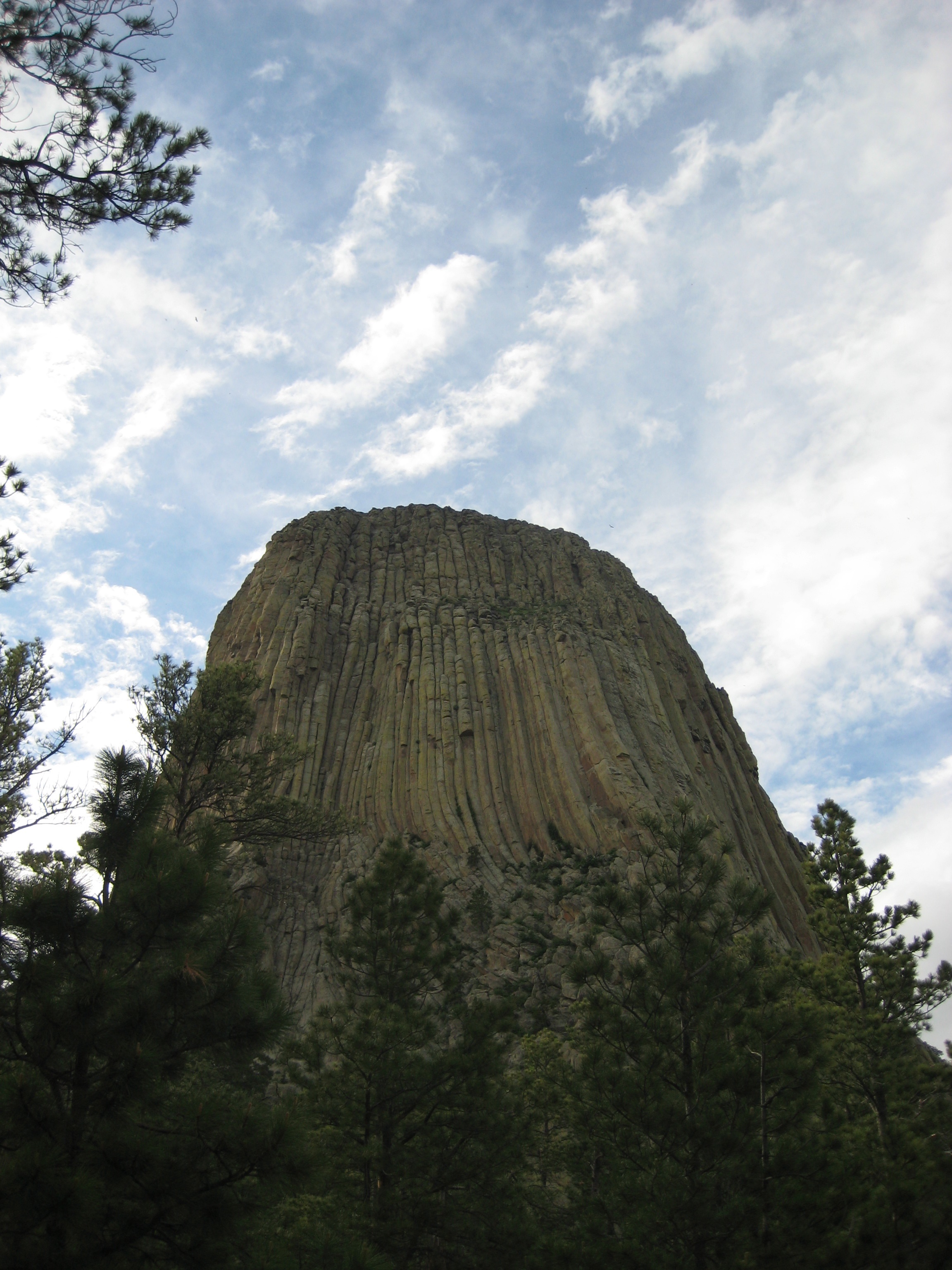
2017-09-18 first view of Devil's Tower
View from the top
View from rooms of Hewlitt Motel

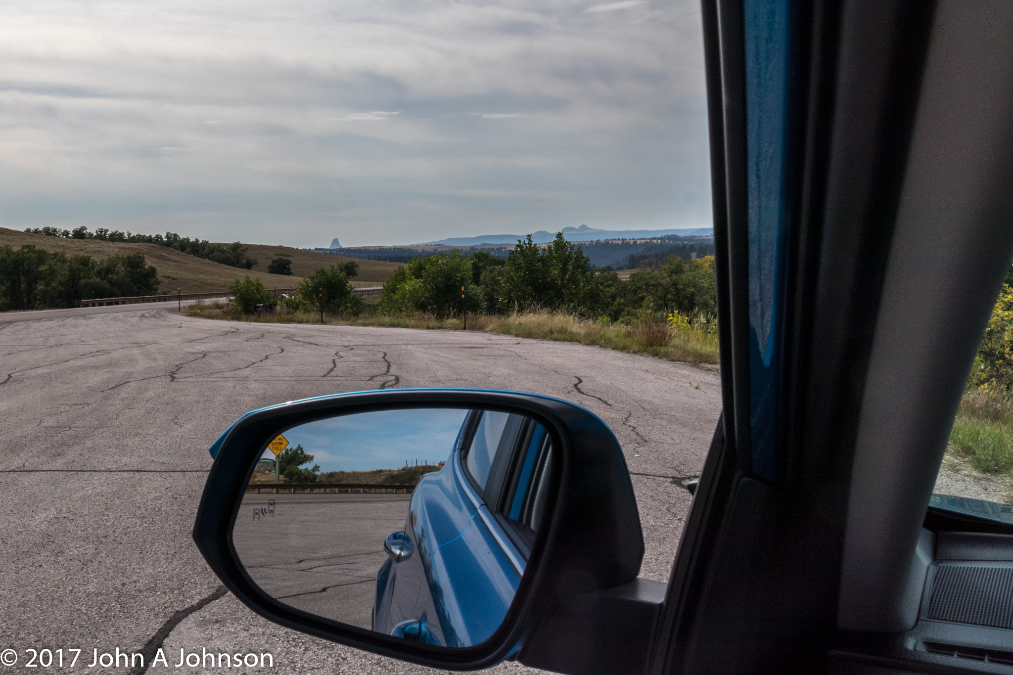
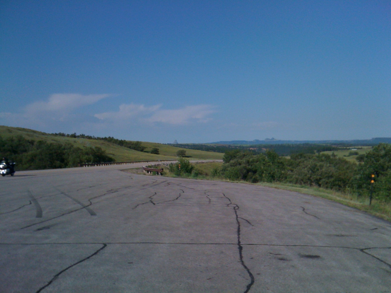
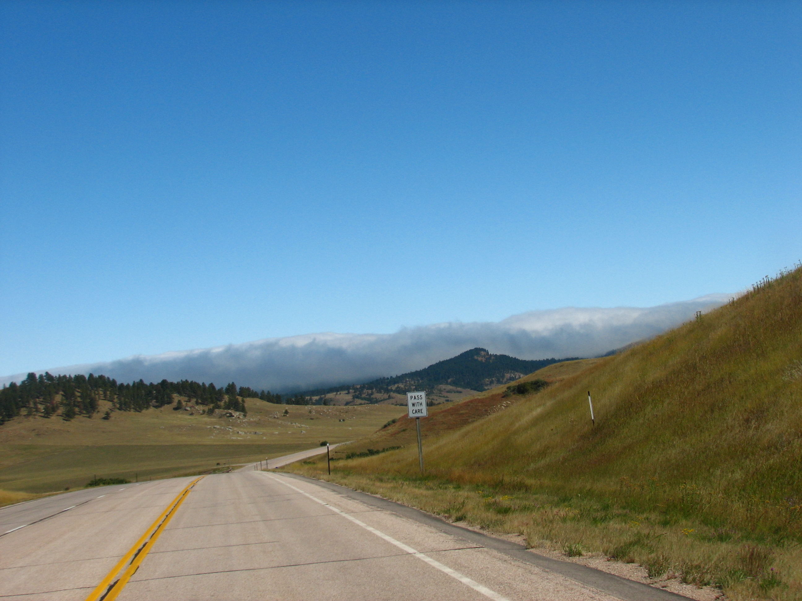
Highway Views
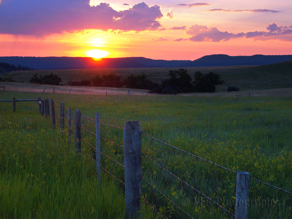
Wyoming View
Wyoming welcome...
20170507-085A9227.jpg
Hulett Hailer
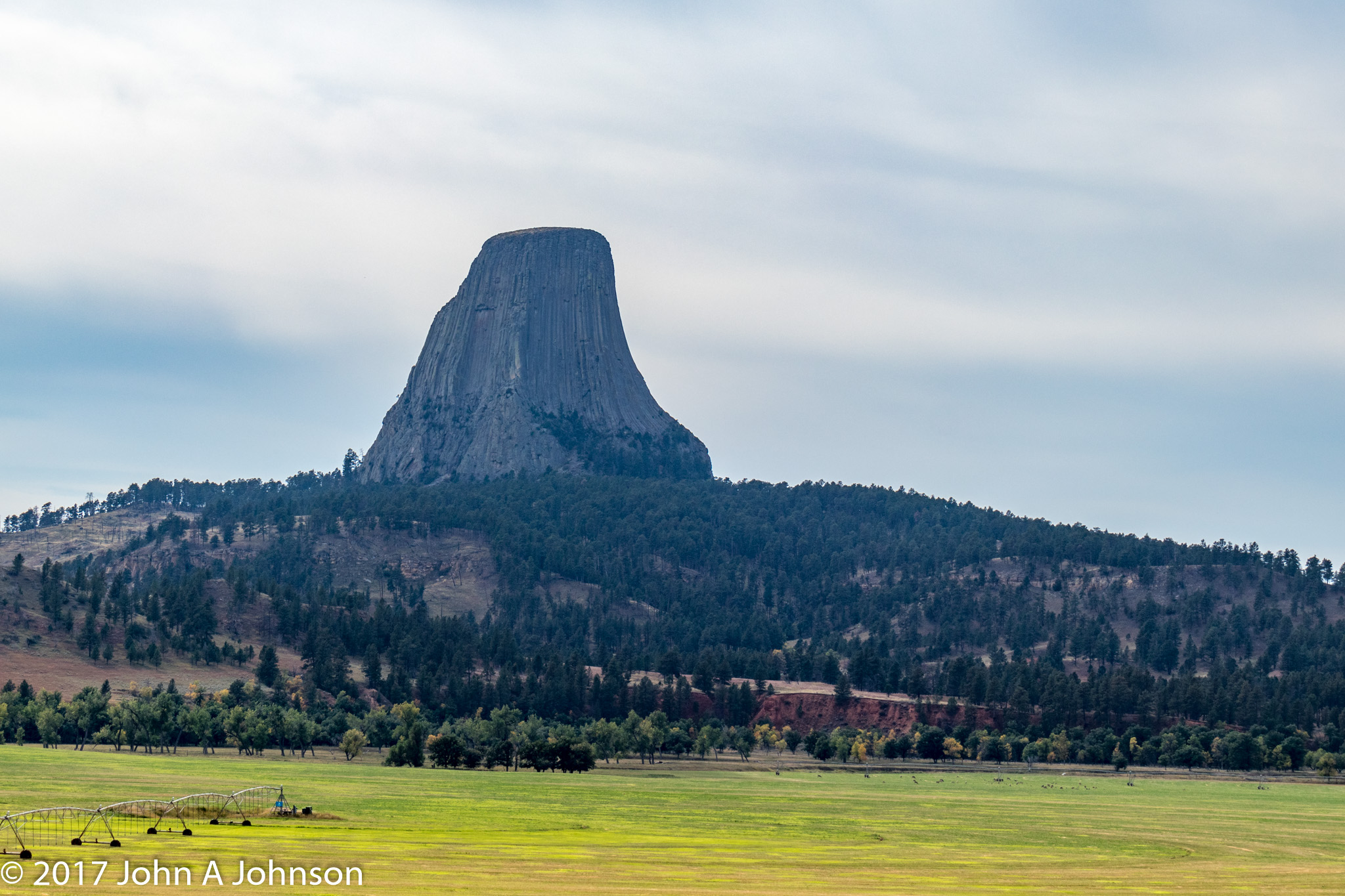
2017-09-18 and closer
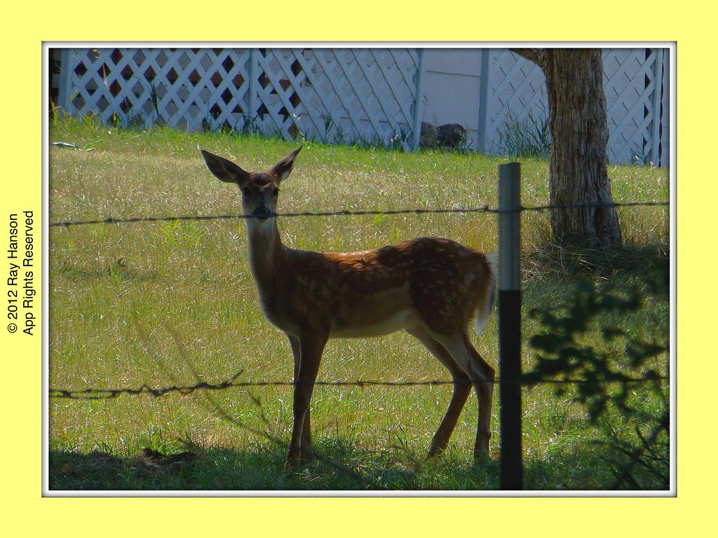
Here's Look'in AtYa
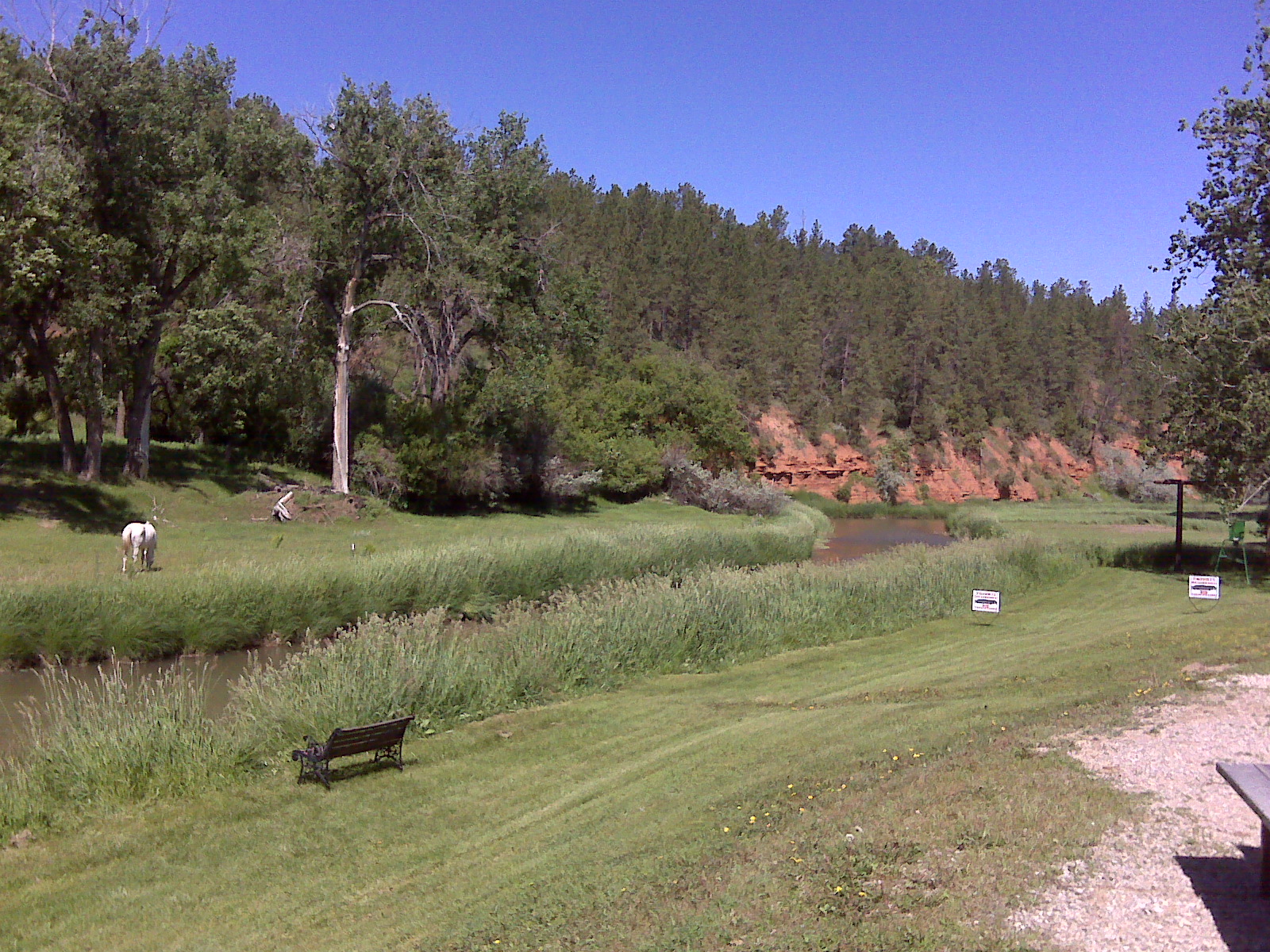
Hulett Belle Fourche river (3)
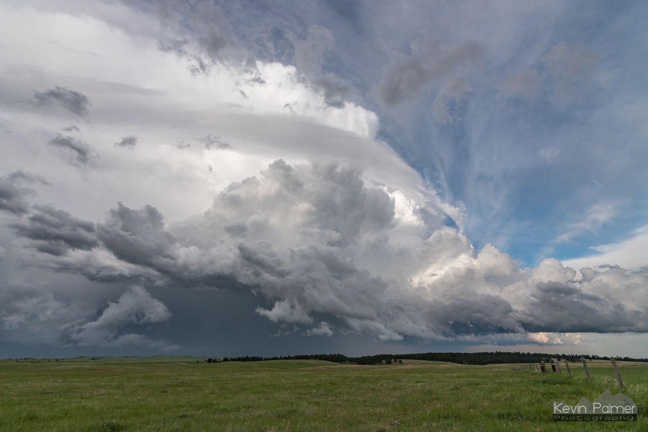
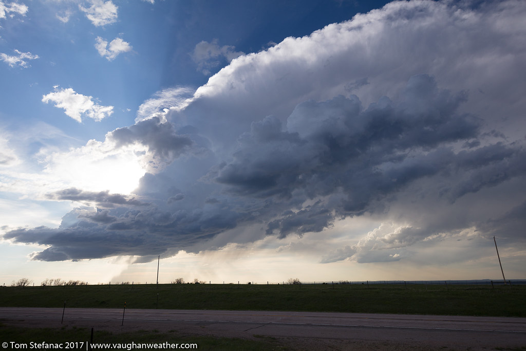
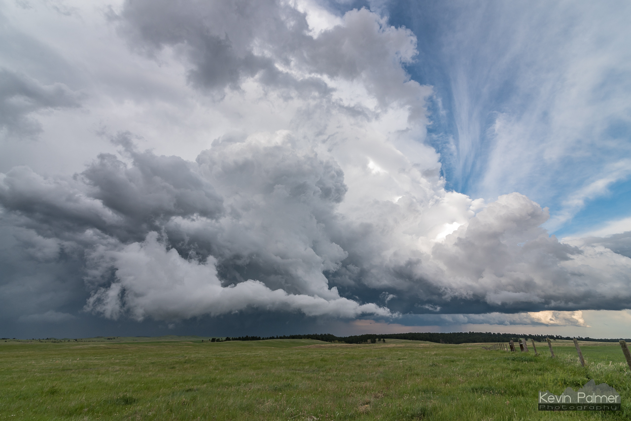
Grassland Supercell
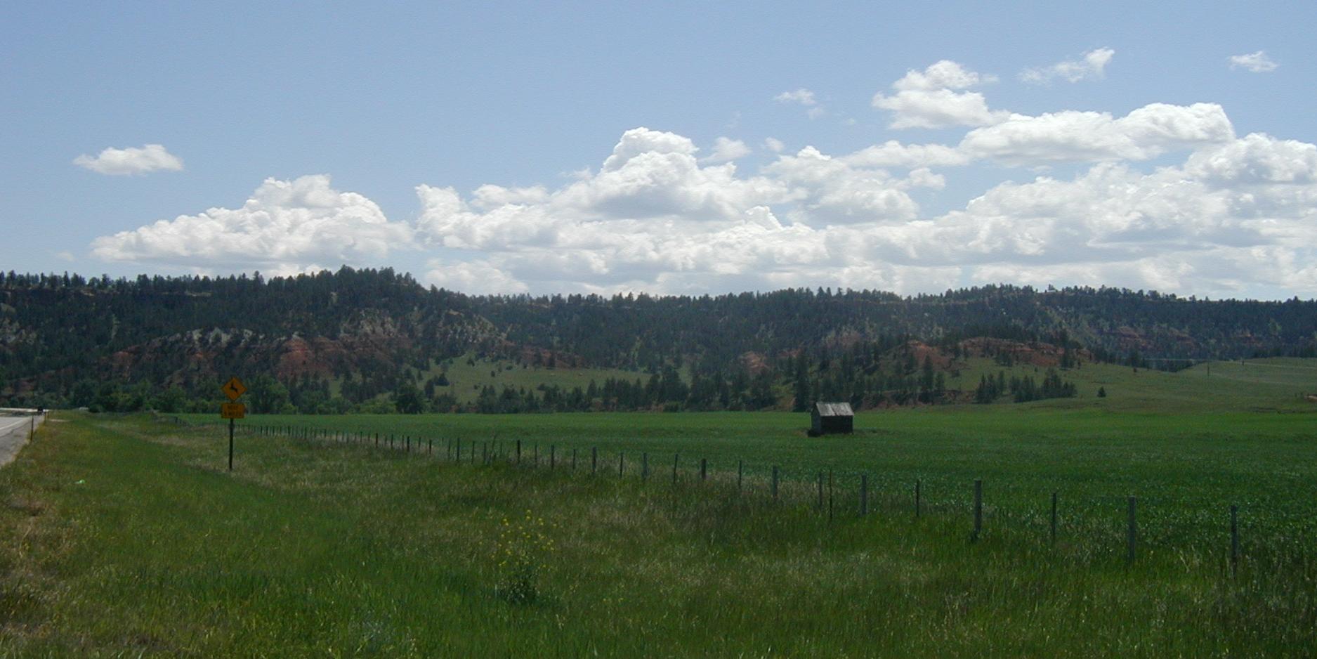
Rural WY (0515)
Cody to Gillet
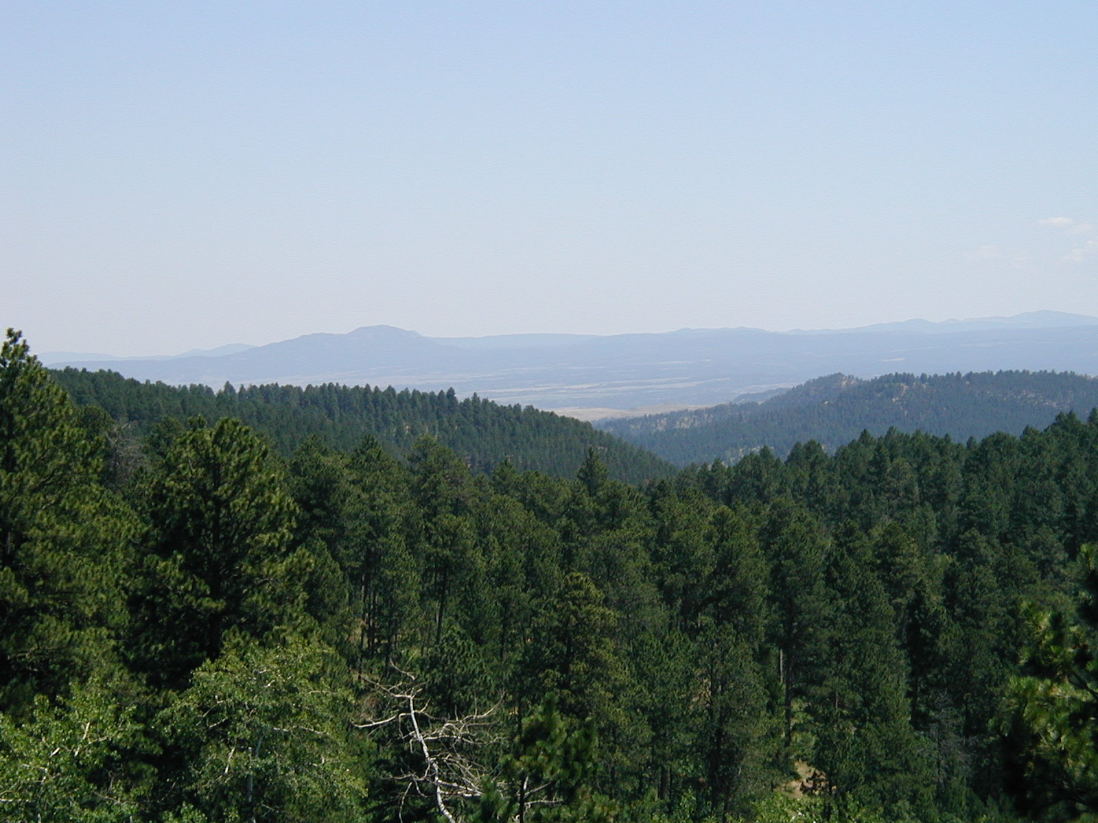
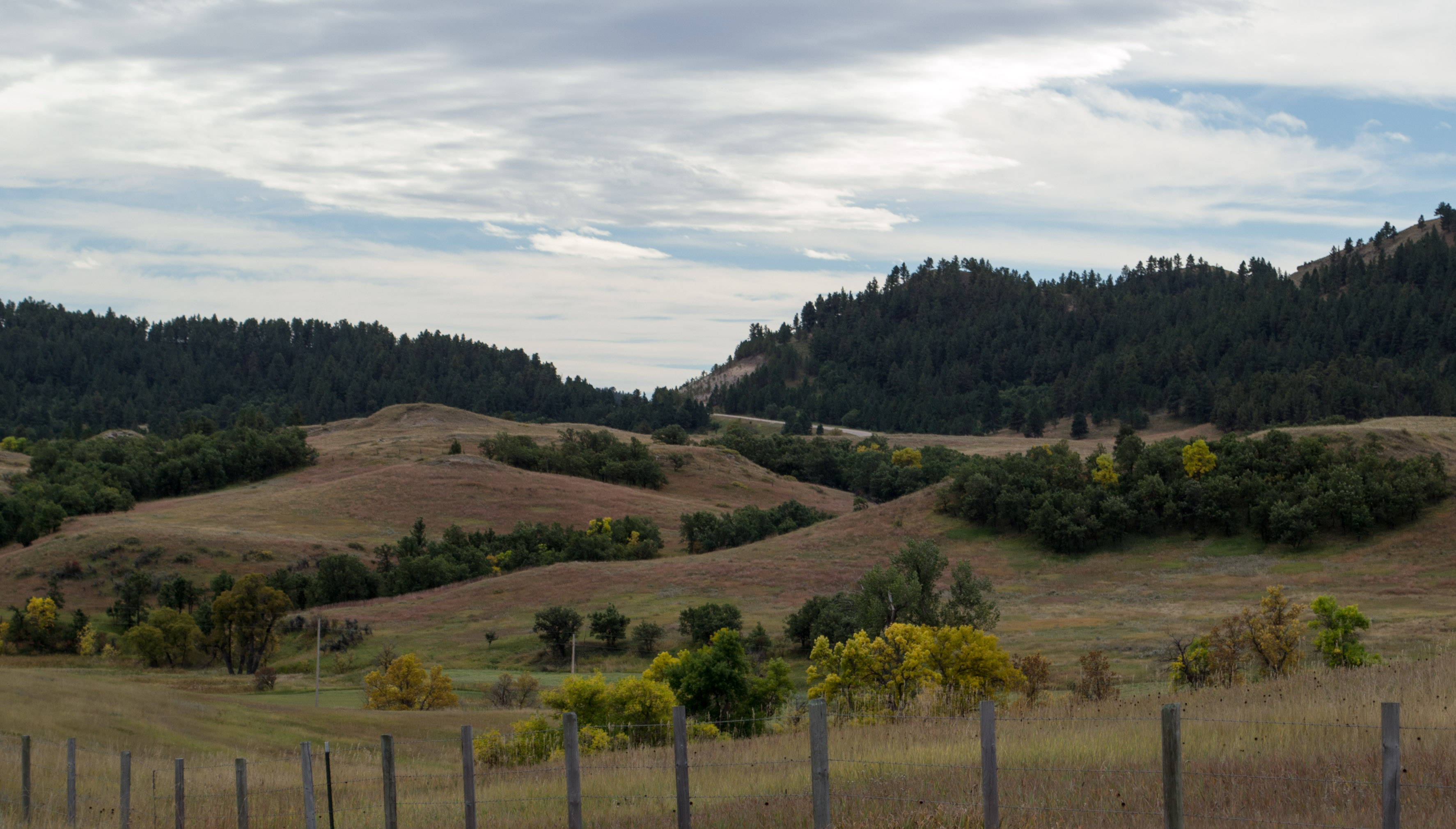
Black Hills overlook
Think mashed potatoes.
Along the highway to Hulett
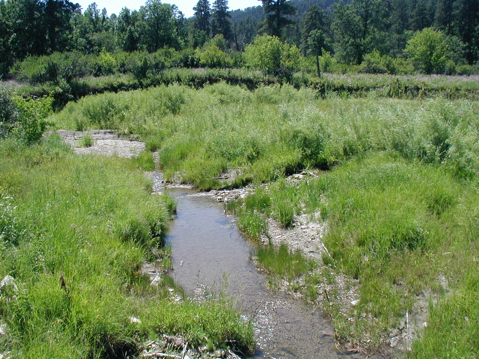
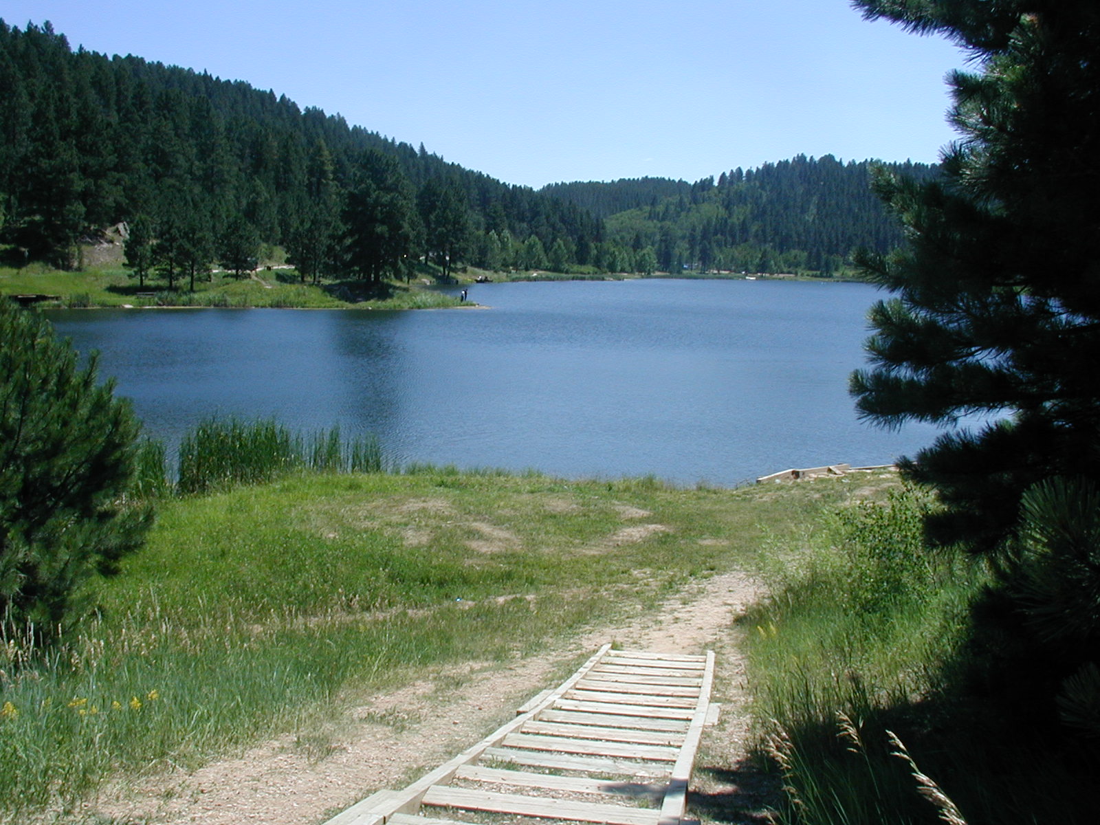
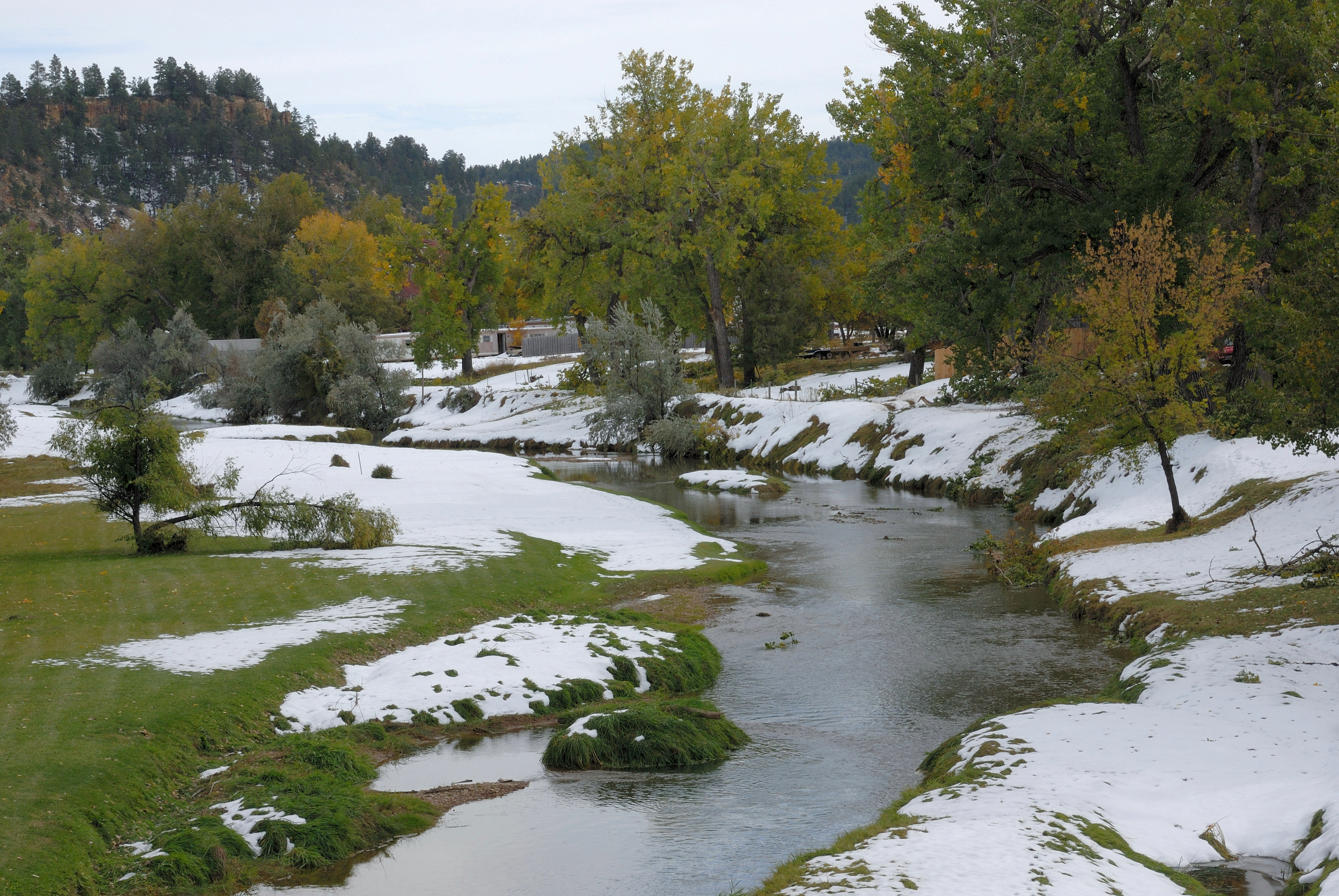
Black Hills creek
Topographic Map of Buck Creek, Wyoming, USA
Find elevation by address:

Places near Buck Creek, Wyoming, USA:
377 Deer Creek Rd
377 Deer Creek Rd
Main St, Hulett, WY, USA
Hulett
Devils Tower / Black Hills Koa
Devils Tower
Devils Tower National Monument
Mule Creek Road
Crook County
Bear Lodge Mountain
Carlile
Aladdin
Sundance
83 N 21st St
208 Bear Claw Trail
29 Mule Creek Dr
29 Mule Creek Dr
Pine Haven
24 Waters Dr, Pine Haven, WY, USA
Beulah
Recent Searches:
- Elevation of 15th Ave SE, St. Petersburg, FL, USA
- Elevation of Beall Road, Beall Rd, Florida, USA
- Elevation of Leguwa, Nepal
- Elevation of County Rd, Enterprise, AL, USA
- Elevation of Kolchuginsky District, Vladimir Oblast, Russia
- Elevation of Shustino, Vladimir Oblast, Russia
- Elevation of Lampiasi St, Sarasota, FL, USA
- Elevation of Elwyn Dr, Roanoke Rapids, NC, USA
- Elevation of Congressional Dr, Stevensville, MD, USA
- Elevation of Bellview Rd, McLean, VA, USA